Map of Underberg, KwaZulu Natal
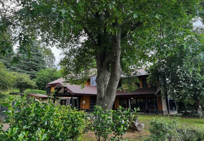
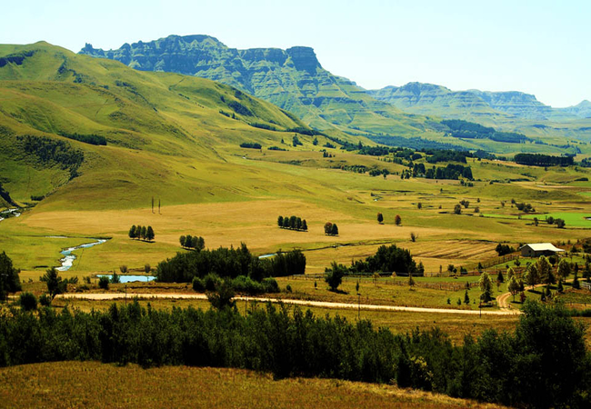
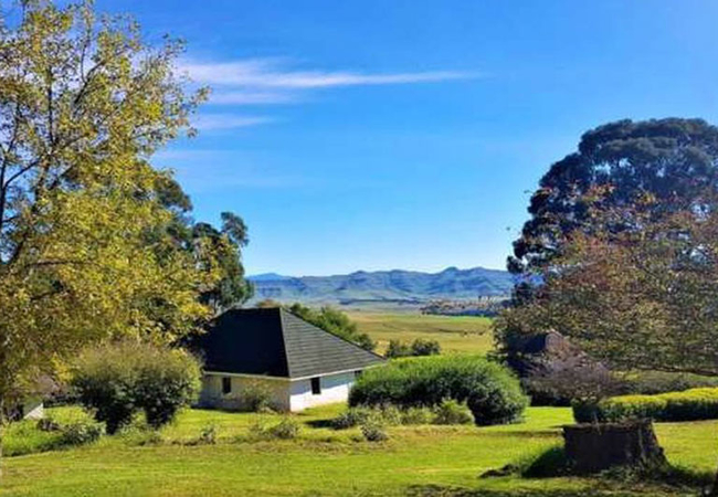
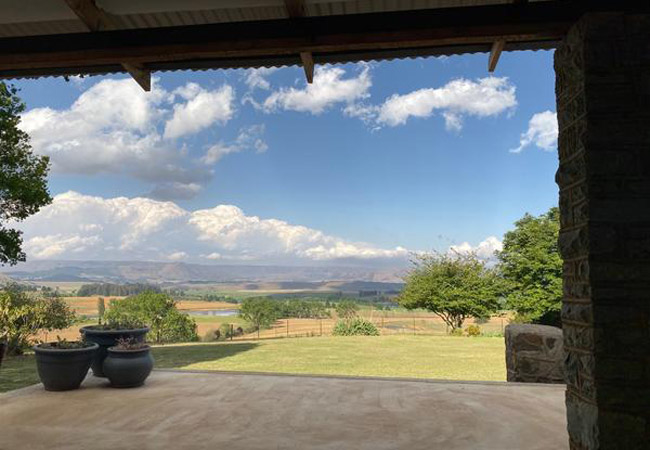
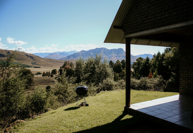
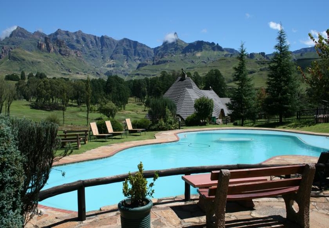
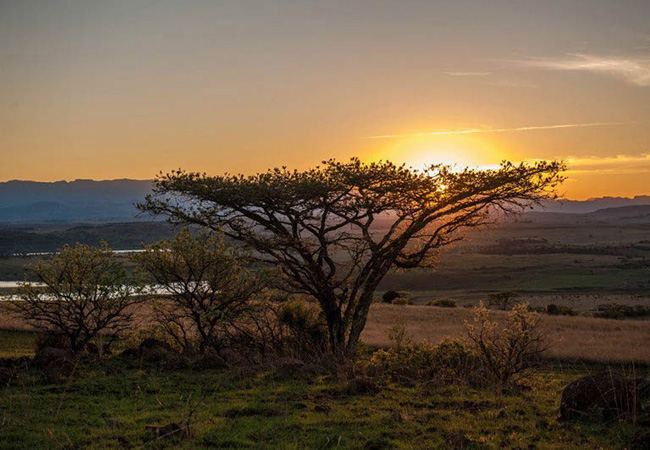
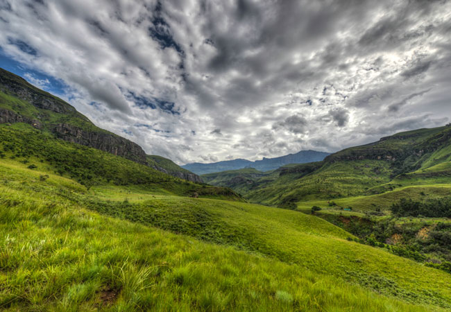
Underberg detail and street level map showing some attractions of the area. The last town in the southern Drakensberg, Underberg, lies immediately beneath the majestic mountains of this area, their looming greatness offering a multitude of hikes and moments of breathtaking beauty. For additional information please visit Underberg Information.
If you are interested in overnighting in the area, we can recommend some great accommodation options including hotels, guest houses and self-catering properties. If you're only planning on driving through Underberg, en-route to another destination, you may want to peruse our Underberg Restaurants before you leave to see if you should plan a stop here for lunch or maybe just a coffee. Also check out Underberg Things To Do to see if there are any activities for which you would consider stopping.
Maps of KwaZulu Natal
Provincial Maps
Street Level Maps
KwaZulu Natal Regions
Special Interests by Map
In the vicinity
Hotels & other accommodation options
Malachite Manor
Malachite Manor is a luxury Guest Lodge situated on the outskirts of Underberg. It is an ideal getaway for discerning Guests wanting to get away ...
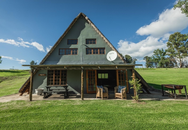
Splashy Fen Log Cabin Camping
The Splashy Fen Log Cabin is a quirky and rustic cabin with beds and campsite located in a secluded area at the top of the festival site. The sel...
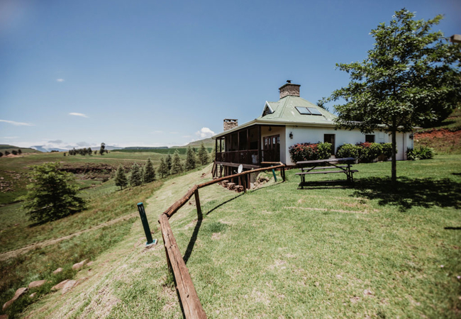
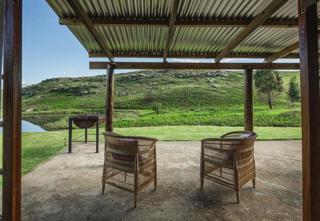
Hilltop Cottage
Perched on the top of a hill overlooking the breathtakingly picturesque Bushmans Nek valley with unsurpassed views of the Southern Drakensberg Mo...
Eland Valley Resort
Eland Valley Resort, located in the scenic Southern Drakensberg, offers accommodation in the Underberg area at the foot of the majestic Garden Ca...
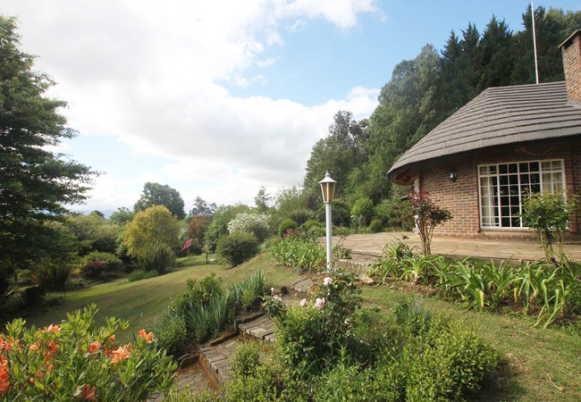
Penwarn Manor
Penwarn Manor is rustic yet modern, offering accommodation in Underberg on Penwarn Farm Lodge just 25km from the quaint town. As you drive down t...
Penwarn Mthini Lodge
Penwarn Mthini Lodge offers Underberg accommodation and is the shining star of Penwarn Farm Lodge. The lodge is perched on a hill overlooking a m...
The Old Hatchery
Welcome to an affordable B&B and self-catering trout farm, set in a tranquil country setting just 10km from Underberg in the Southern Drakensberg...
Birches Cottages
In a quiet corner of the uKhahlamba-Drakensberg World Heritage Park, with the cascading Umzimkulu river bounding one side and blue mountain sky t...
Penwarn Oribi Cottage
Oribi Cottage is located at Penwarn Farm Lodge and offers comfortable accommodation in Underberg. The farm lodge lies in an exquisite valley surr...
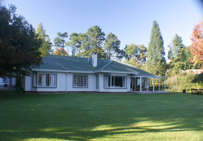
Elgin Guest House
Elgin Guest House offers comfortable bed and breakfast accommodation on private sections of a working dairy farm. Each room has its own entrance ...
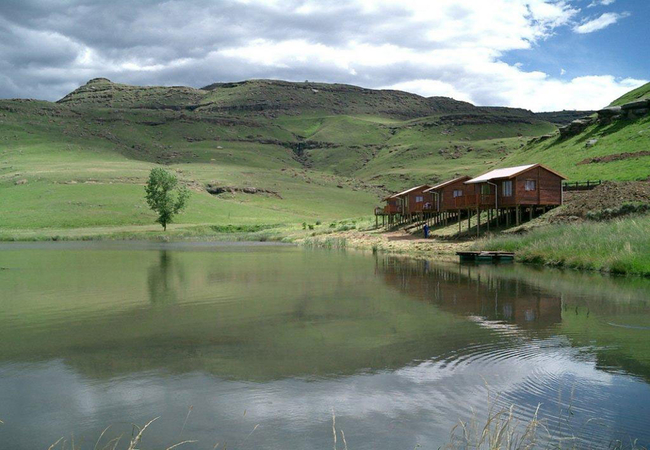
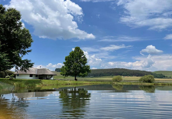
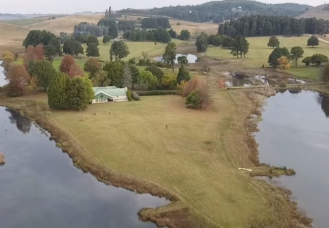
Valley Lakes
Valley Lakes is situated approximately 30kms from Underberg, nestled in the Ndawana Valley, and the lake is fed by the pristine waters of the Nda...
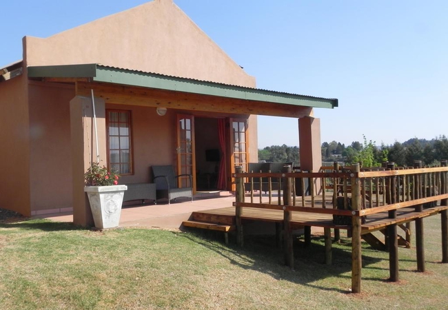
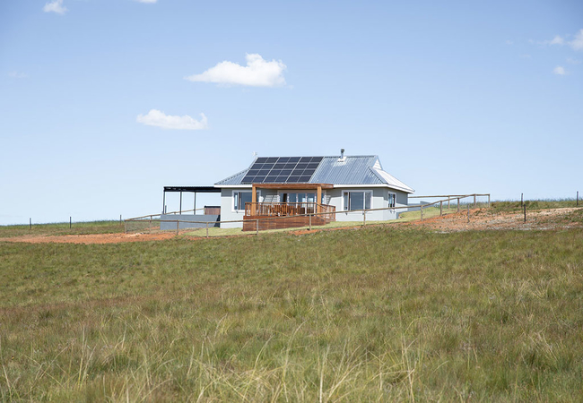
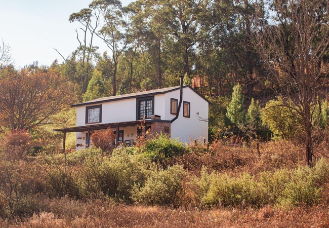
Valley View Cottage
Situated in the small town of Underberg in the southern Drakensberg, Valley View Cottage offers self catering accommodation for four guests. Boas...
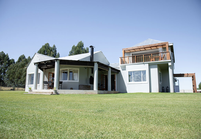
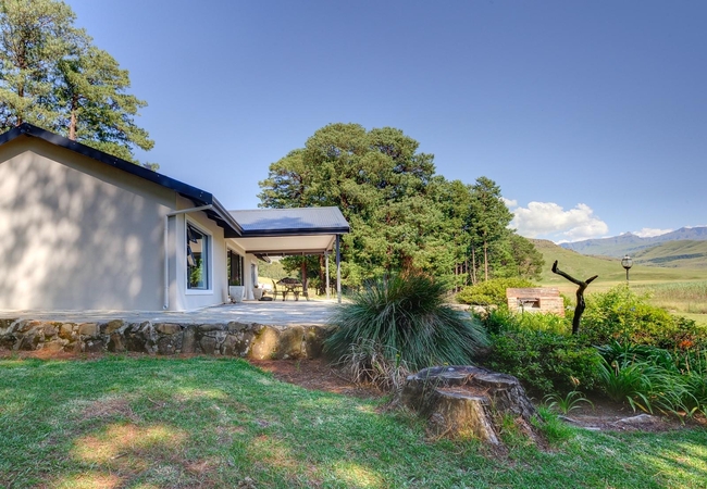
Shepherd's Cottage
Shepherd's Cottage is located in Underberg and is one of two cottages offering accommodation on the 90 hectare Farraway Farm (the other is Hillto...
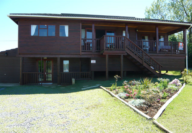
Valley Lakes Lodge
Valley Lakes Lodge is an efficiently designed eight sleeper lakeside lodge offering self catering accommodation in Underberg, about 30km from the...
Penwarn Mziki Cottage
Penwarn Mziki Cottage offers Underberg accommodation on Penwarn Farm Lodge just 25km from the quaint town. As you drive down the Khyber Pass, you...
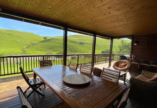
Umzimkulu Giant Cabin
Umzimkulu Giant Cabin is a secluded log holiday home in Underberg sleeping 12 guests. There is a spacious open plan fully equipped kitchen, loung...
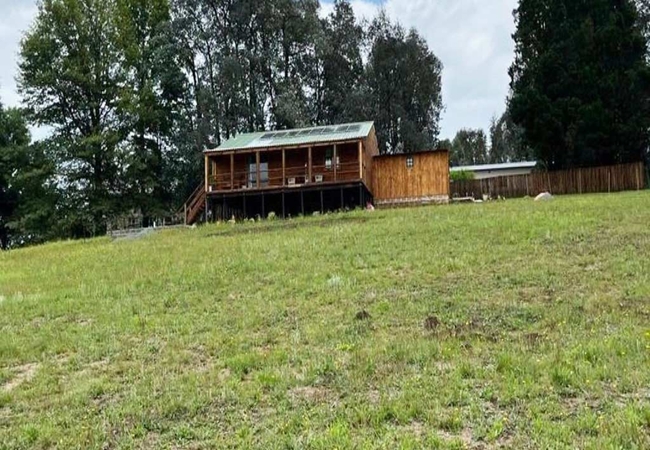
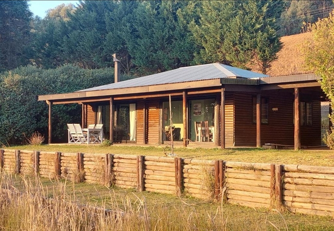
Fireside Cabin
Fireside Cabin is a gorgeous off-the-grid log cabin. The property boasts a river, visible from the deck, within walking distance so you can enjoy...
Lakeside Lodge at Giants Cup
Lakeside Lodge at Giants Cup is a self catering holiday home in Underberg that consists of two bedrooms both with en-suite bathrooms. The main be...
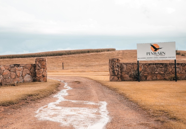
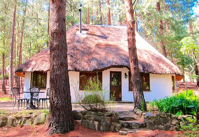
Penwarn Farm Lodge
Rustic yet modern, Penwarn Farm Lodge can be found just 25km from the quaint, little town of Underberg in South Africa. As you drive down the Khy...
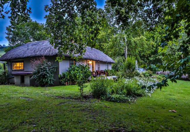
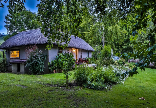
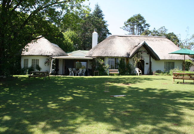
Meadow Lane Country Cottages
Meadow Lane Country Cottages offer tranquil accommodation in a park-like setting. Five self catering cottages are surrounded by gorgeous old tree...
Pin Oak Cottage
Pin Oak Cottage is a self catering holiday house in Underberg in the Drakensberg. The house sleeps ten guests in four bedrooms. The main house ha...
Dieu Donne Cottage
Dieu Donne Cottage is a self-catering cottage located on a farm just off the Sani Pass Road, in Underberg. The cottage boasts spectacular valley ...
Dragons Landing Cottage
Dragons Landing Cottage offers Underberg accommodation on the Dragons Landing Guest farm in the Bushmans Nek area. It's a small 40 Hectare farm, ...
Dragons Landing Guest House
Dragons Landing Guest House is located in the Bushmans Nek area of Underberg. This small 40 hectare farm is completely off the grid and runs on s...
Pennygum Country Cottages
Pennygum Country Cottages offers four beautiful cottages with stunning 'picture postcard' views of the Southern Drakensberg Mountains just 6km fr...
Umzimkulu Malachite Cottage
Umzimkulu Malachite Cottage consists of two bedrooms furnished with a King-size bed or twin beds if preferred. The lounge and dining area has a l...
Fairways Mountain View Cottage
We offer accommodation in a six sleeper self-catering thatch cottage at The Fairways, a Gold Crown resort, situated within the Drakensberg Garden...
Buya Lodge
Buya Lodge offers accommodation in Underberg within the Drakensberg Gardens Golf and Leisure Resort. It borders on 860 acres of World Heritage Si...

Duckbay Lodge at Giants Cup
Duckbay Lodge at Giants Cup Wilderness Reserve occupies the premium position on the farm and is set on the edge of a pine glade, up near the estu...
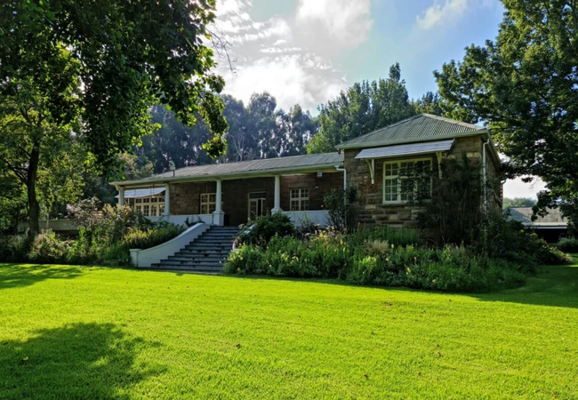
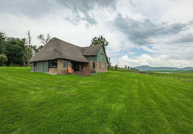
House at Glengariff
Situated on a working farm 20kms from Underberg, House at Glengariff is a gracious sandstone farmhouse available for accommodation for up to 12 g...
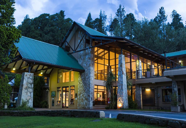
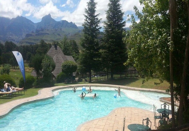
Drakensberg Gardens Golf & Spa Resort
Nestled in the heart of the Southern Drakensberg, on a scenic 860 acre World Heritage site, rests the magnificent Drakensberg Gardens Golf & Spa ...
9 Stoney Way Cottage
9 Stoney Way Cottage is a two bedroom, one bathroom cottage set in a large garden behind the main house just outside the village of Underberg. Th...
The Fairways Gold Crown Resort
Besides boasting a magnificent backyard, Fairways is renowned for its superb self catering units available in four and six sleeper units, as well...
Ondini Cottage
Ondini Cottage offers Underberg accommodation in an off-the-grid self-catering home that is nestled deep in the Drakensberg mountains. Enjoy this...
Moya Cottage
Offering self catering accommodation, Moya Cottage is a cosy cottage situated in the peaceful Underberg village, in the heart of the Southern Dra...
Cedar Garden
Cedar Garden is a spacious, well-appointed home set in a large cared for garden in the popular village of Underberg. Our centrally situated upmar...
Splashy Fen Cottage
Splashy Fen Cottage sleeps six people in three bedrooms, and an additional four people in a mezzanine loft room, above the lounge, accessed via a...
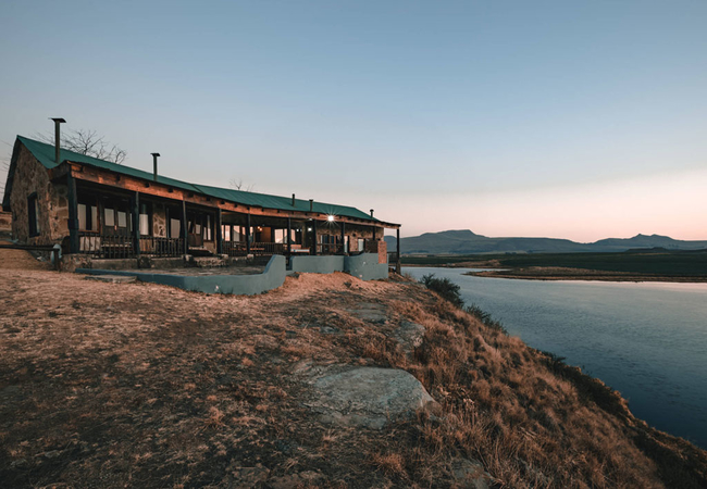
Ndawana River Lodge
Ndawana River Lodge offers luxury Underberg accommodation, total peace, solitude and tranquillity. Situated in the Southern Drakensberg, borderin...
Giants Cup Wilderness Reserve
Giants Cup Wilderness Reserve, the premier wild-trout fly fishing destination in Southern Africa, is a registered site of Conservation Significan...
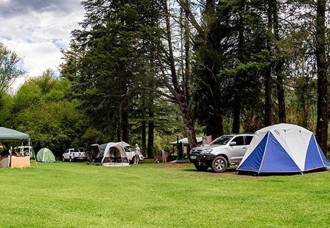
Drakensberg Gardens Camping
Boasting breathtaking views of an awe inspiring mountain range, the Resort is a one of kind retreat for guests to rekindle, relax and unwind. Wit...
Penwarn Nguni Cottage
Penwarn Nguni Cottage offers Underberg accommodation at Penwarn Farm Lodge just 25km from the quaint, little town of Underberg. Birdlife is of ab...
Penwarn Kingfisher Cottage
Penwarn Kingfisher Cottage offers Underberg accommodation in a thatch cottage located at Penwarn Farm. Enjoy Drakensberg self catering while shar...
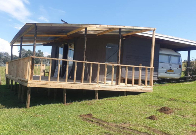
Tin Can Glamping Caravan
Tin Can Glamping Caravan offers guests self-catering accommodation in Underberg with beautiful views of the mountains and surrounds, just 2km fro...
Sani Window
Sani Window in Underberg is set on a large property facing onto the golf course with magnificent views of the Drakensberg Mountains. The house ha...

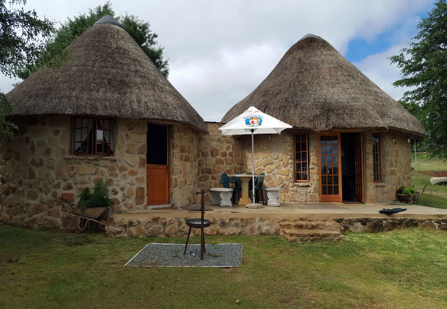
Amazian Mountain River Lodge
Amazian Mountain River Lodge situated in the Southern Drakensberg just outside Underberg and only 18km away from the Sani Pass. Enjoy a de-stress...
Umzimkulu River Lodge
Umzimkulu River Lodge offers serviced Bed & Breakfast or Self Catering accommodation on one of the most beautiful bends of the Umzimkulu River in...
Umzimkulu Woodland Cottage
Umzimkulu Woodland Cottage is a free standing double story holiday home in Drakensberg, ideal for a maximum of six adults and two children. Downs...
Graceland Farm
Graceland Farm is situated near the town of Underberg and offers quality Drakensberg accommodation for a family or group of friends. It boasts be...
Umzimkulu Mangrove Cottage
Umzimkulu Mangrove Cottage is free standing original homestead with rustic details. This holiday home in Underberg is ideal for a max of 5 guests...
Blackbrook Cottages
Blackbrook Cottages is a 74ha working farm, situated just outside of Underberg on the Bushmans Nek Road. Choose from three spacious self-catering...
Hlogoma Mountain Lodge
Hlogoma Mountain Lodge offers Underberg self catering and is close to the Hlogoma Mountain and overlooks the dams and farm fields. Close to calve...
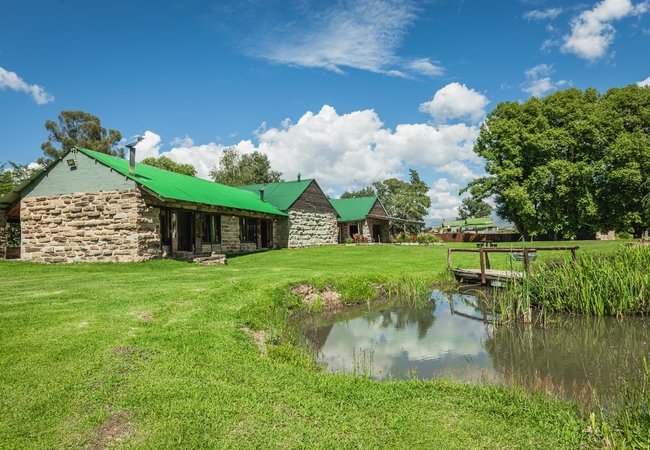
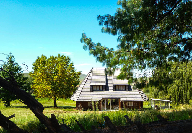
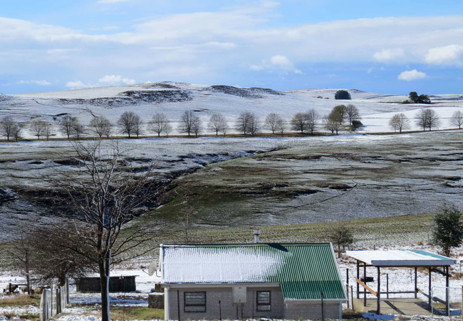
Stoney Hall Farm
Stoneyhall Farm is situated at the foot of the Southern Drakensberg where the rolling green hills and clear mountain air invite you to unwind and...
Sunset View Cottage
Sunset View Cottage is an upmarket, exclusive, romantic, couples' getaway. The panoramic views of the berg are breath-taking. Sunset View is clos...
Douglas Drift
Douglas Drift is a real country getaway, situated 4.5km outside of Underberg town with magnificent views of the Umzimkulu River. Enjoy fresh air ...
Fairways Heartwood Mountain Cottage
Fairways - Heartwood Mountain Cottage offers comfortable accommodation at the Drakensberg Gardens Resort and is just 30km from Underberg. The res...
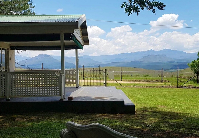
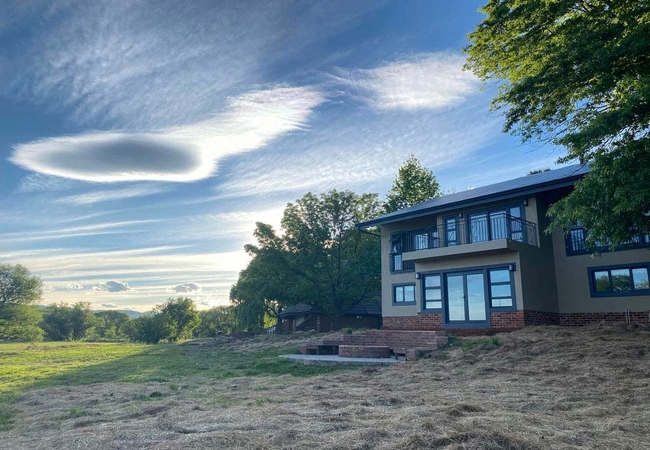
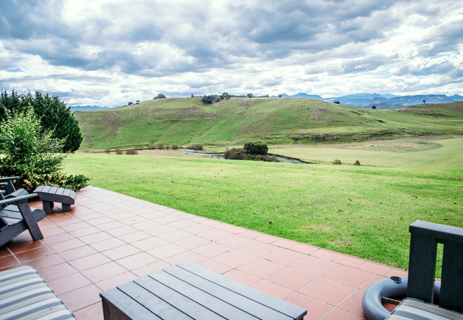
Haycroft Lodge
The spacious Haycroft Lodge is located on Stoneyhall Farm and is set on the banks of a tranquil lake that reflects the panoramic views of the Dra...
Under The Berg B&B
Bed & Breakfast and Backpackers Accommodation is available at Under the Berg B&B in Underberg, in the Southern Drakensberg. If you've come to the...
Otter Cove at Giants Cup
Otter Cove at Giants Cup Wilderness Reserve is set on its own in a pine glen close to the waters edge. Otter Cove is a holiday cottage in Underb...
Things to do in the area - see all in Drakensberg
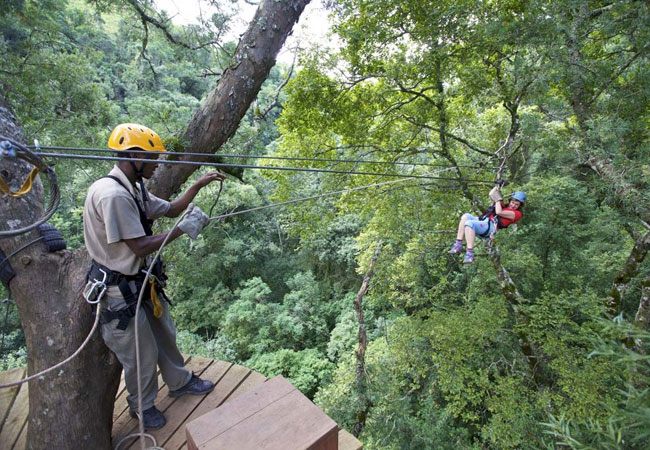
Drakensberg Canopy Tour
Drakensberg accommodation is always special because it promises a place to stay in some of South Africas most spectacular countryside. The area ...
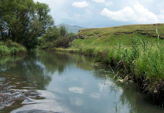
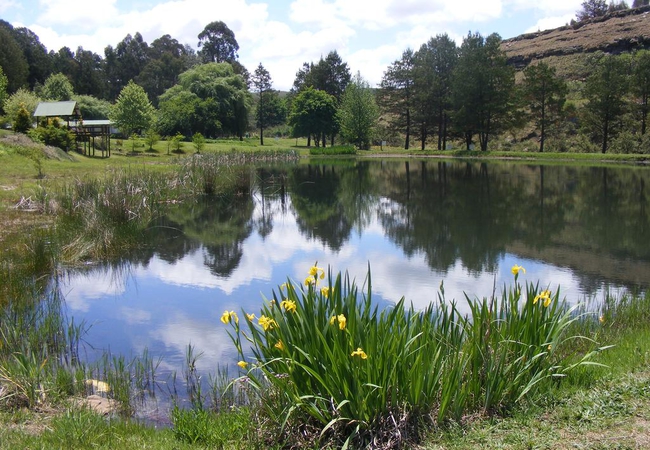
Fly Fishing at Penwarn
Imagine the early morning mist lifting off a berg river, the trout rising. Penwarn is a premier fishing location with seven dams (one is two kilo...
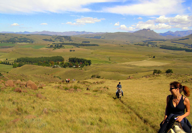
Khotso Horse Trails
Horse riding trails take off at 9.00am daily for either a full day, or 1 to 3 hours, into the foothills of the Drakensberg. We schedule rides acc...

Visit The Underberg Studio
The Underberg Studio is situated in the picturesque farming village of Himeville at the foot of the Southern Drakensberg. Here you will find the ...
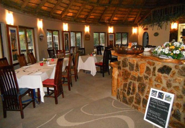
The Old Hatchery Restaurant
You have chosen to come to the most beautiful part of the Drakensberg in KwaZulu Natal. There is nothing quite like Southern Berg hospitality. Ou...
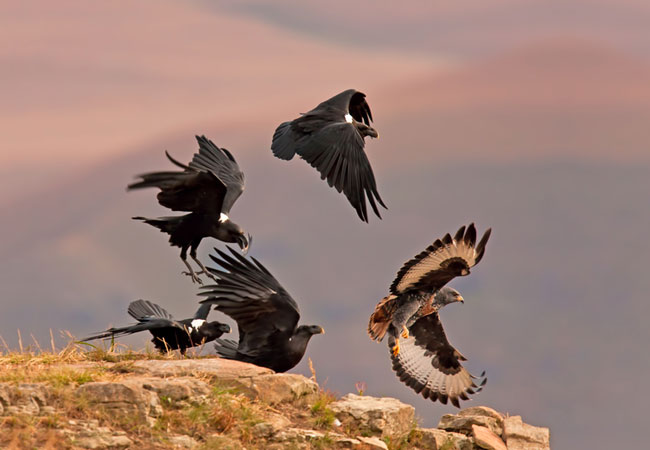
Sani Pass Birding
Birding Tours up the Sani Pass or in the surrounding Forest Mist belt areas for specials such as Drakensberg Rockjumper, Drakensberg Siskins, Cap...
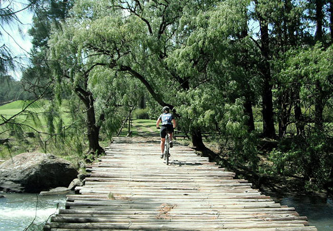
Sani Spoors
Sani Spoors is mountain biking heaven. Situated in the foothills of the Southern Drakensberg, only 4km from the country village of Underberg, the...
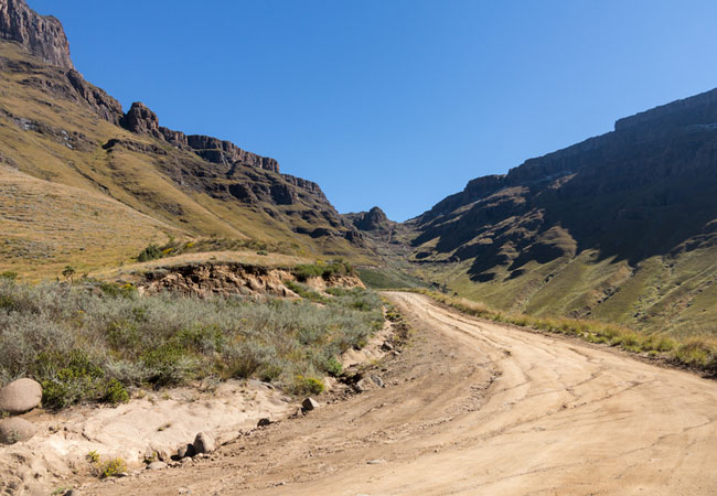
Sani Pass 4x4 Trail
The Drakensberg Mountain Range is nothing short of spectacular, and is undoubtedly best enjoyed at a restful pace. The Sani Pass 4 x 4 Trail is a...
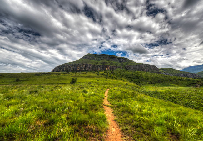
Giant's Castle Hikes
Giant's Castle refers both to the landmark rock massif in the central Drakensberg, where it rests in amongst the peaks of Champagne Castle and Ca...
Noteworthy attractions - see all in Drakensberg
Spioenkop Dam Nature Reserve
Lying virtually at the foot of the rugged Spioenkop Mountain, the dam was the site of one of the most bloody battles to ensue during the Anglo-Bo...
Ukhahlamba Drakensberg Park
The Ukhahlamba Drakensberg Park has exceptional natural beauty in its soaring basaltic buttresses, incisive dramatic cutbacks, and golden sandsto...
Cathedral Peak Nature Reserve
The Cathedral Peak Nature Reserve, with its numerous free standing peaks and magnificent mountain scenery, is one of the most favoured parts of t...
Cobham State Forest
Cobham is situated in the Southern part of the uKhahlamba Drakensberg Park, and is approximately 150 km from Pietermaritzburg. Dominated by Hodgs...

Garden Castle State Forest
Garden Castle is the southern most part of the Ukhahlamba Drakensberg Park and incorporates the Bushman's Nek Valley. The Garden Castle reserve i...
Giant's Castle Nature Reserve
Historic Giant's Castle Nature Reserve, home of the eland and the majestic bearded vulture, lies in the Central Drakensberg region of the Ukhahla...
Himeville Nature Reserve
The Himeville Nature Reserve stretches along the eastern boundary of Himeville Village and was proclaimed to its present size of 104 ha in 1973. ...
Kamberg Nature Reserve
Kamberg Nature Reserve, one of the smallest of the KZN Wildlife resorts, lies in the foothills of the uKhahlamba Drakensberg Park - one of the ea...
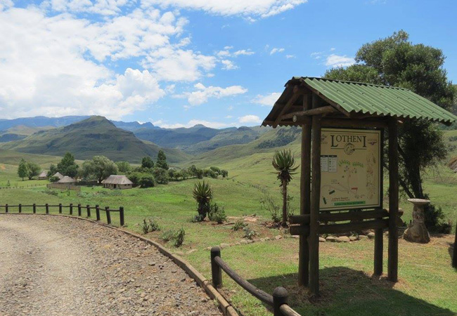
Lotheni Nature Reserve
Noted for its magnificent scenery and beautiful camp, Lotheni is situated in a remote section of the Ukhahlamba Drakensberg Park. Many delightful...
Find accommodation in Underberg
FIND / South Africa Accommodation / KwaZulu Natal Accommodation / Drakensberg Accommodation / Underberg Accommodation
Underberg as a destination
Why book with SA-Venues.com
- Your card is safe with us; strictest card verification in the industry and we don't store card numbers.
- No airy fairy service fees; you save!
- We care. Service with integrity.
- Multiple payment methods:
credit card, SID instant EFT, bank transfer. - All Underberg property owners / managers are verified (our experience protects you from online fraud).
- Secure your booking
Maps
Destination Underberg
- By type in Underberg
- Underberg Accommodation
- Underberg Hotels
- Underberg Guest Houses
- Underberg Bed & Breakfast
- Underberg Self Catering
- & Holiday Apartments & Suites
- & Holiday Cottages & Chalets
- & Holiday Homes & Villas
- Underberg Conferences
- Underberg Honeymoons
- Destinations near Underberg
- Bergville, Bushmans Nek Valley, Cathedral Peak, Cedarville, Central Drakensberg, Champagne Valley, Drakensberg Gardens, Estcourt, Geluksburg, Giants Castle, Himeville, Kamberg, Kokstad, Matatiele, Monks Cowl, Mont-aux-Sources, Northern Drakensberg, Sani Pass, Southern Drakensberg, Swartberg, Van Reenen, Winterton, Witsieshoek
- Resources for tourists
- About Underberg
- Things To Do
- Attractions
- Reviews