Maps in Limpopo
A comprehensive set of maps of the Limpopo Province, South Africa. Includes a hybrid physical / political map showing the major towns of the province, the largest game reserves and the national roads, relief map showing the terrain in Limpopo and the regions of the province, a street level maps of Polokwane, and a map of the Kruger Park.
For the traveller, a map of the major attractions in Limpopo and a map of the accommodation in Limpopo. Also see Limpopo National Parks, Nature Reserves and Game Reserves or Golf Courses in Limpopo (plotted on a map of the province).
Provincial
Street Level
In the vicinity
Hotels & other accommodation options
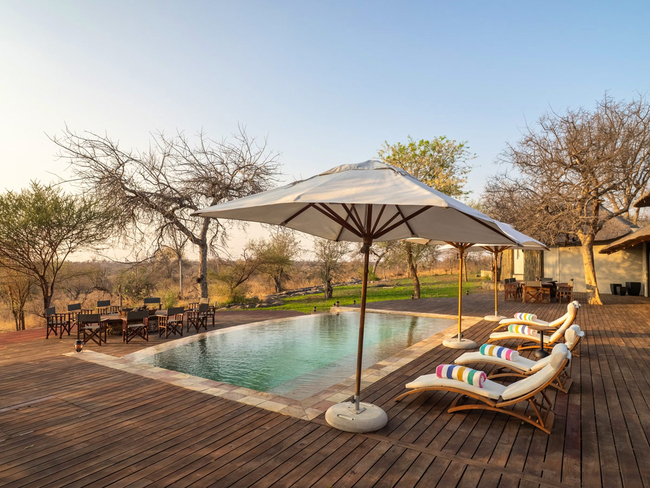
Tintswalo Scops Rest
Tintswalo Scops Rest is a luxury bush villa reserved exclusively for private use, situated within the Klaserie Private Nature Reserve, part of th...
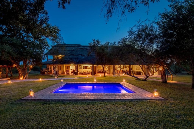
Tintswalo Manor
Escape to mesmerising bushveld views, total relaxation and a fascinating luxury safari experience at Tintswalo Manor House. Situated in the priva...
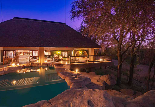
Simbavati River Sands
River Sands Villa, a two bedroom villa is a combination of luxury and opulence with exceptional private views overlooking a watering hole, in the...
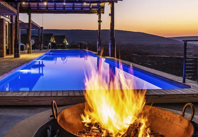
Ingwe Lodge
Ingwe Lodge is the gem of the Nyati Wilderness' safari accommodation collection. Safari in this incredible cliff top lodge built from stone and T...
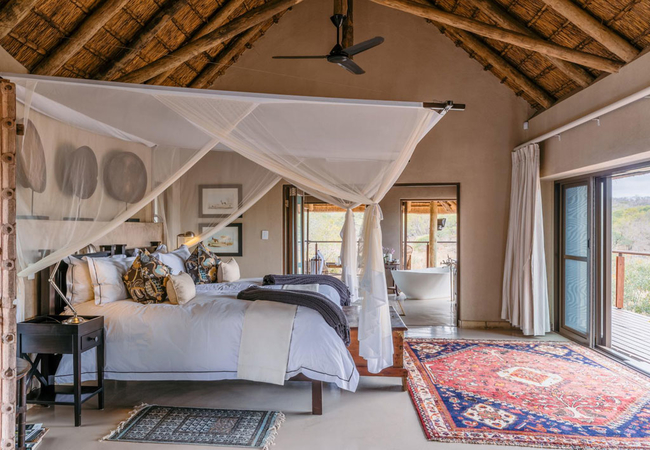
Timbavati Villa
Timbavati Villa offers accommodation in Thornybush and is the epitome of a luxury safari experience. Enjoy your own private villa on the banks of...
Leshiba Lavish Suites
Leshiba is not a destination, it's the beginning of a journey, a new story. Here, you will discover not just a private yet affordable game reser...
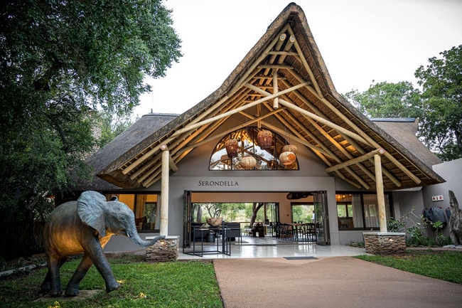
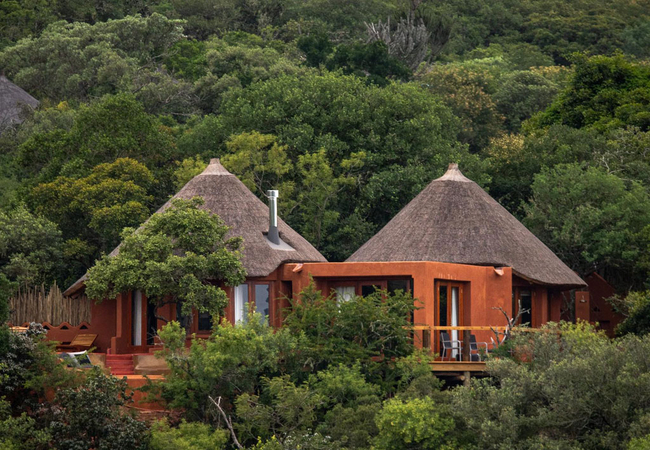
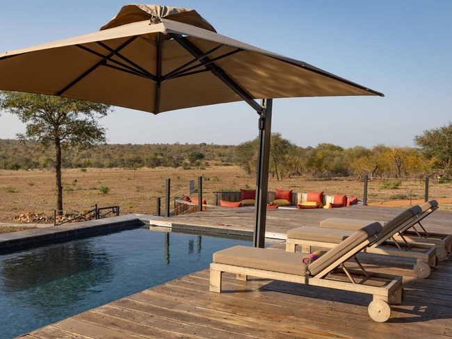
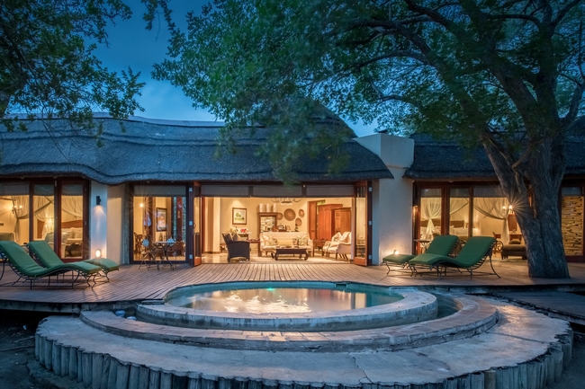
Serondella Safari Lodge
Serondella Game Lodge is a comfortable and private lodge located on the banks of a tributary to the dry Monwana River. This is an ideal spot for ...
Ximuwu Lodge
Discover a once-in-a-lifetime adventure at Ximuwu Safari Lodge, where luxury meets accessibility. Ideal for individuals, families, and friends, X...
Tintswalo Safari
Discover Tintswalo Safari, an exceptional 5-star safari haven offering an unparalleled blend of luxury and wilderness. Nestled in the heart of th...
Noteworthy attractions
Welgevonden Game Reserve
The Malaria free Welgevonden Game Reserve is situated just 2.5 hours north of Pretoria. Welgevonden Game Reserve is a declared Heritage Site of 3...
Marakele National Park
The Marakele National Park in the heart of the Waterberg Mountains has become a 'place of sanctuary' for a vast variety of wildlife mainly due to...
Mabalingwe Nature Reserve
Spread over more than 12 000 hectares of softly rolling hills, the malaria-free Mabalingwe Game reserve is host to the big 5, and also hippo, gir...

Umhlametsi Game Reserve
Nestled in the luxurious natural settings of the Limpopo Province, Umhlametsi Private Game Reserve is bordered by the World famous Kruger Nationa...

Mabula Game Reserve
Only two short hours drive North of Johannesburg lies the African wonder that is Mabula Private Game Reserve. This 12000ha of malaria free reserv...
Lapalala Wilderness
Lapalala Game Reserve, today one of the largest private game reserves in South Africa, was established to safeguard a unique eco-system with 77 k...
Doorndraai Dam Nature Reserve
The beautiful Doorndraai Dam nature reserve, set in amongst the foothills of the Waterberg south west of Potgietersrus, includes, as its name sug...
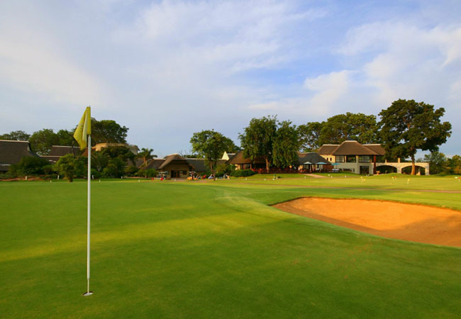
Hans Merensky Golf Club
This is another fine course which first evolved from the drawing board of Robert Grimsdell. A major attraction of the Hans Merensky course is the...
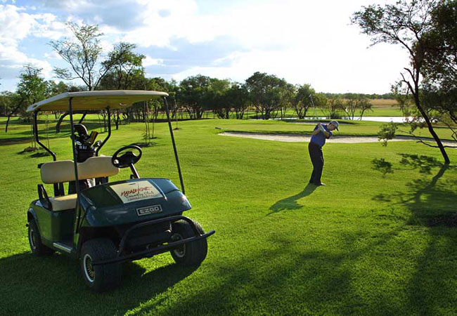
Zebula Country Club
This pristine 660-hectare bushveld estate boasts a sensational new world class Peter Matkovich designed golf course. It is also home to a variety...
Limpopo as a destination
Why book with SA-Venues.com
- Your card is safe with us; strictest card verification in the industry and we don't store card numbers.
- No airy fairy service fees; you save!
- We care. Service with integrity.
- Multiple payment methods:
credit card, SID instant EFT, bank transfer. - All Limpopo property owners / managers are verified (our experience protects you from online fraud).
- Secure your booking
 Hoedspruit
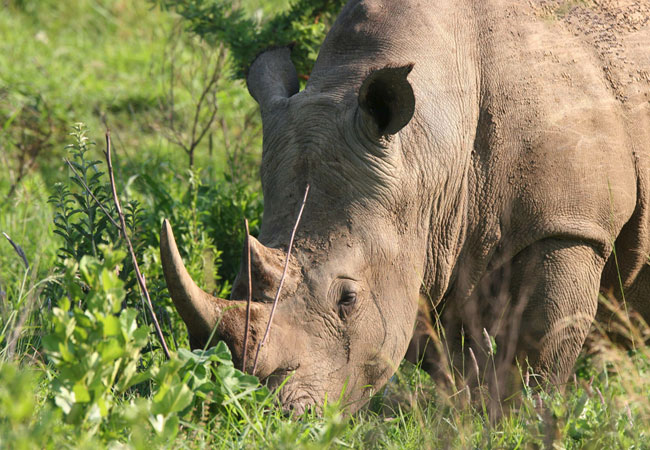 Kruger Park
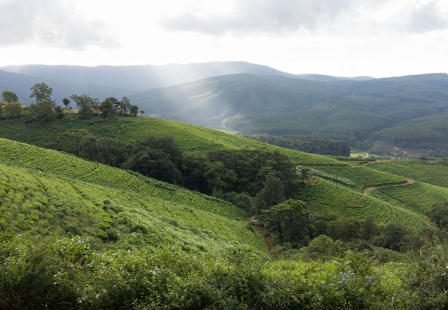 Magoebaskloof
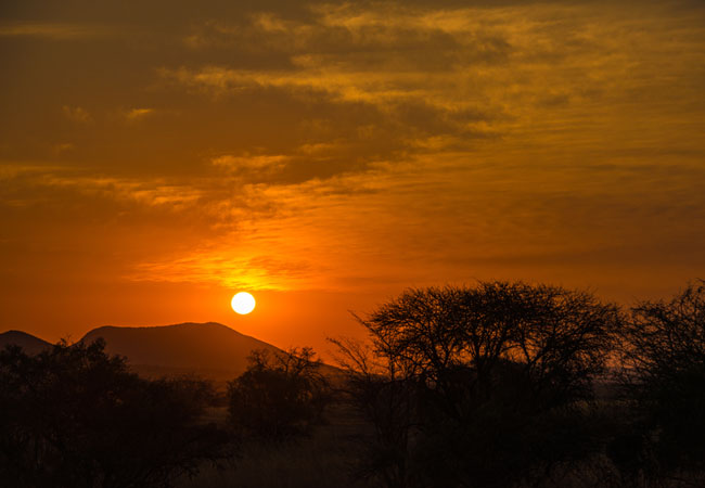 Phalaborwa
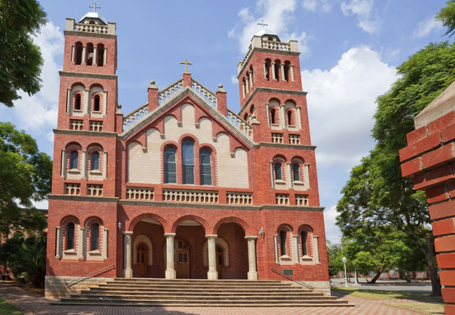 Polokwane
 Louis Trichardt
 Waterberg
 Naboomspruit
 Warmbaths
 Tzaneen
 Thornybush