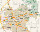
Maps in Mpumalanga
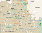
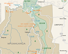
A comprehensive set of maps of Mpumalanga, South Africa. Includes a hybrid physical / political map showing the major towns of the province, the largest game reserves and the national roads, relief map showing the terrain in Mpumalanga and the regions of the province, street level maps of Graskop, Nelspruit, Pilgrims Rest and Sabie, and maps of the Blyde River Canyon, Kruger Park and Panorama Route.
For the traveller, a map of the major attractions in Mpumalanga and a map of the accommodation in Mpumalanga. Also see Mpumalanga National Parks, Nature Reserves and Game Reserves or Golf Courses in Mpumalanga (plotted on a map of the province).
Provincial
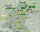
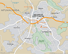
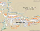
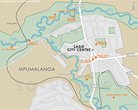
Regional
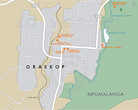
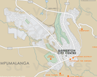
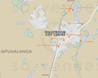
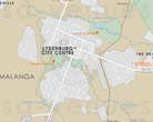
Street Level
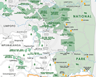
In the vicinity
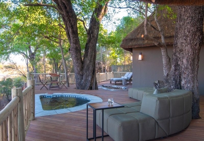
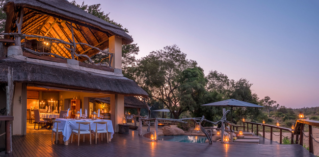
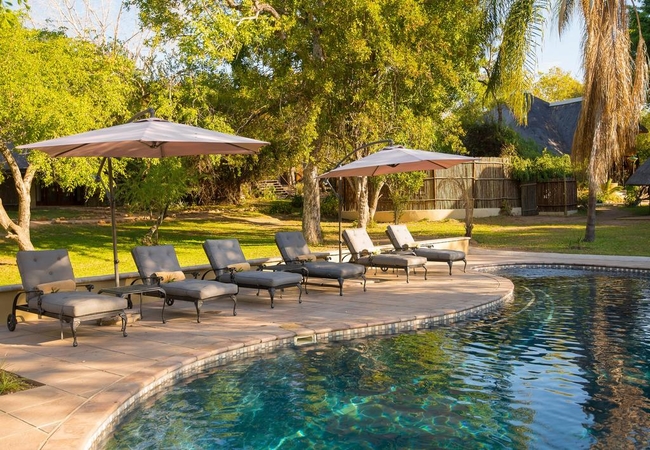
Hotels & other accommodation options
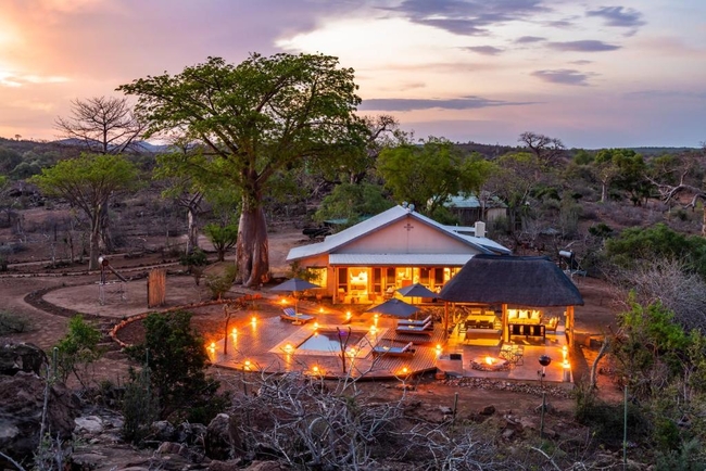
Fitzpatricks Villa at Jock
The intimate Fitzpatrick's Lodge is stylishly appointed to offer the ultimate private villa experience, accommodating small groups and families o...
Simbambili Game Lodge
Simbambili Game Lodge offers guests sophisticated accommodation with outstanding views over woodland savannah that is brimming with wildlife. Ch...
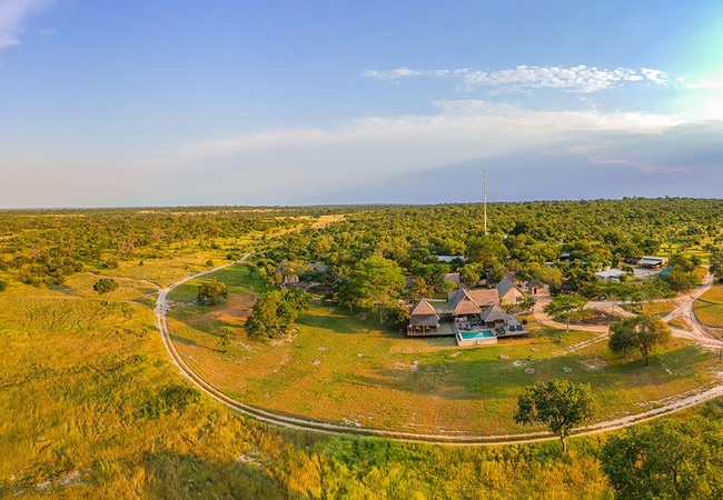
Jock Safari Lodge
Jock Safari Lodge is the first private lodge set in the heart of Africa's premier wildlife reserve, the Kruger National Park. Situated in the sou...
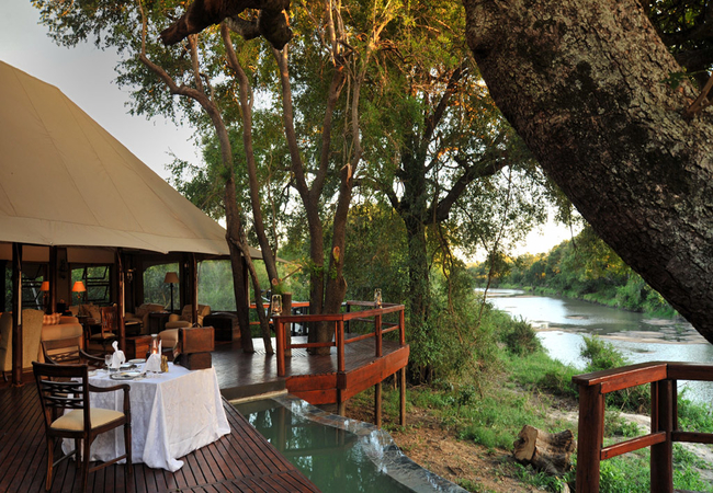
Inyati Private Game Reserve
Situated on the scenic banks of the perennial Sand River, Inyati is set in 65000 hectares of the most diverse and beautiful bushveld, in one of t...
Baobab Hill House
Perched on a secluded ridge dotted with ancient baobabs just north of the Luvuvhu River, Baobab Hill House occupies the historic site of the form...
Marula Sunrise Lodge
Marula Sunrise Lodge is nestled on the Crocodile River on the southern side of the Kruger National Park in the 4000 hector Mjejane Private game r...
Hamiltons Tented Camp
Hamiltons Tented Camp offers guests a unique sitting to enjoy the wildlife and birdlife surrounding them. Each of the six magnificent tents has t...
Nkorho Bush Lodge
Situated in the Sabi Sands Private Game Reserve and shares an unfenced border with Kruger National Park. This unspoiled Savannah offers an abunda...
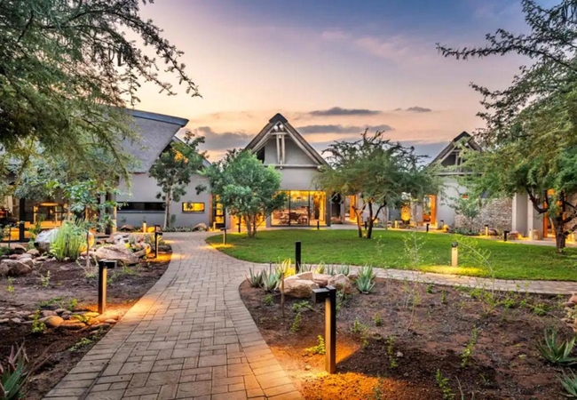
umSisi House
umSisi House is the perfect destination for groups of friends and family wishing to visit South Africa's Kruger Lowveld region, the Panorama Rout...
Noteworthy attractions
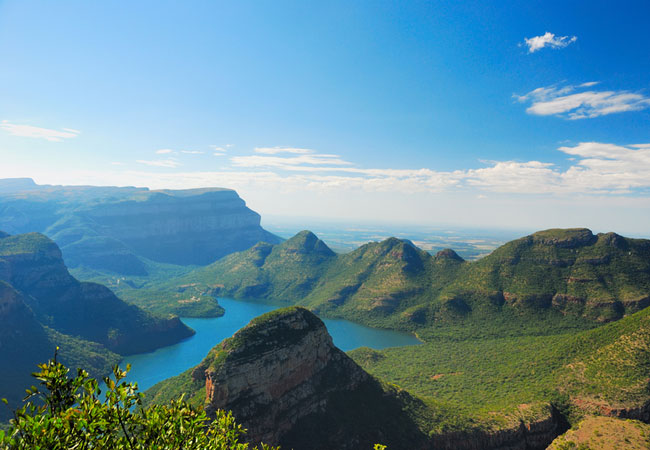
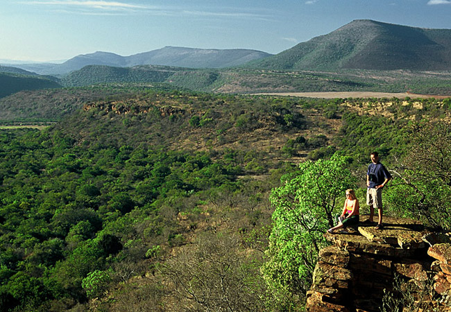
Blyde River Canyon
The fresh mountain scenery and panoramic views over the Klein Drakensberg escarpment are quite spectacular and give the area its name of 'Panoram...
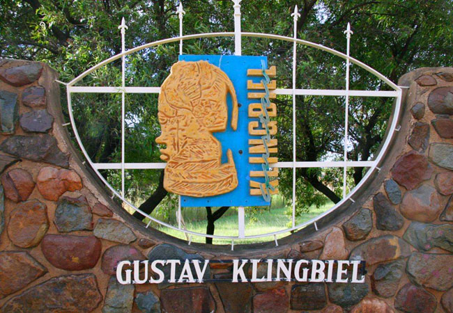
Gustav Klingbiel Nature Reserve
This has to be one of the most beautiful locations in the world. The reserve is 2200 hectares and the Klipgatspruit cuts the mountainous area int...
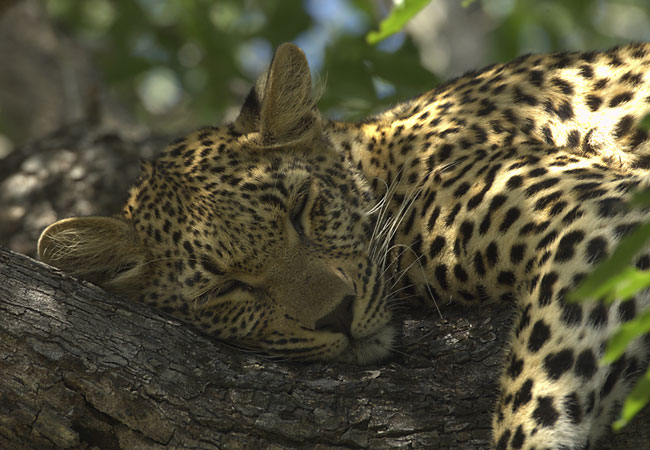
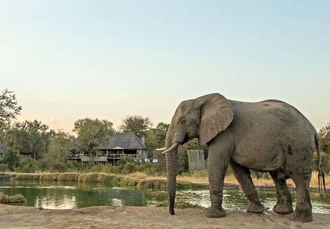
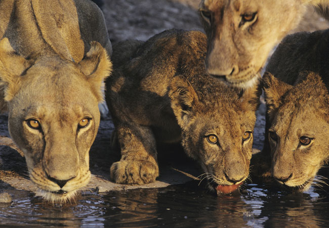
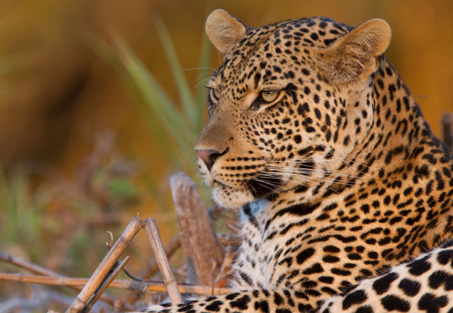
Kruger National Park
The largest game reserve in South Africa, the Kruger National Park is larger than Israel. Nearly 2 million hectares of land that stretch for 352 ...
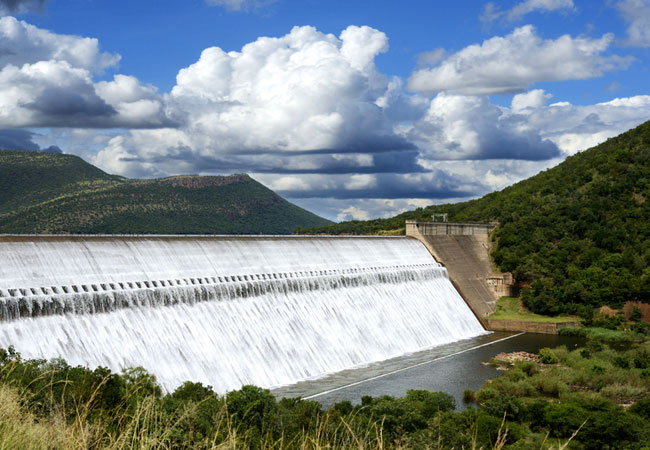
Loskop Dam Nature Reserve
The well known Loskop Dam Nature Reserve can be found deep in the Cultural Heartland of South Africa's Mpumalanga Province. The Loskop Dam is a 2...
Mthethomusha Game Reserve
The magnificent Malelane Mountains, and the 8,000 hectare Mthethomusha Game Reserve bordering the world famous Kruger National Park at its feet, ...
Ohrigstad Dam Nature Reserve
Lying between the town of Ohrigstad and the historical village of Pilgrim's Rest in Mpumalanga, Ohrigstad Dam Nature Reserve is situated on the e...
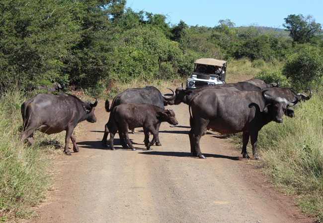
Kruger National Park Tours
Guided day trips to the Kruger National Park: The largest game reserve in South Africa, the Kruger National Park is nearly 2 million hectares of ...
Sabi Sands Game Reserve
The Sabi Sands Game Reserve is undoubtedly the most exclusive private game reserve in South Africa. The 65,000-hectare Sabi Sands Game Reserve is...
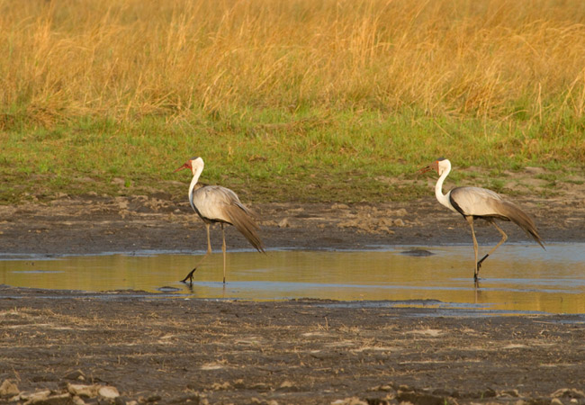
Steenkampsberg Nature Reserve
The Steenkampsberg Nature Reserve, outside the town of Dullstroom, provides sanctuary for the rare wattled crane which is a major attraction, tou...
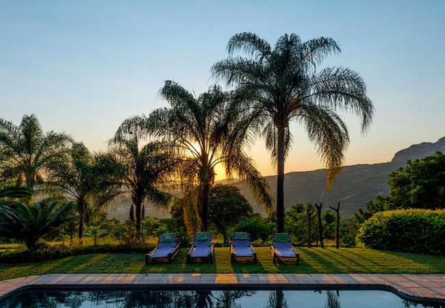
Mpumalanga as a destination
Why book with SA-Venues.com
- Your card is safe with us; strictest card verification in the industry and we don't store card numbers.
- No airy fairy service fees; you save!
- We care. Service with integrity.
- Multiple payment methods:
credit card, SID instant EFT, bank transfer. - All Mpumalanga property owners / managers are verified (our experience protects you from online fraud).
- Secure your booking
 Nelspruit
 Kruger Park
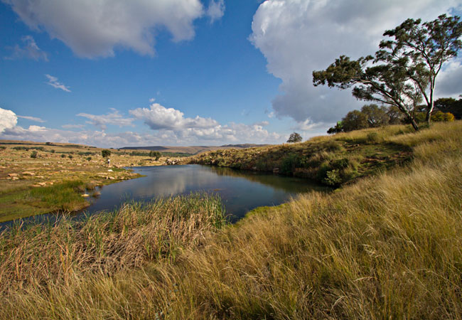 Dullstroom
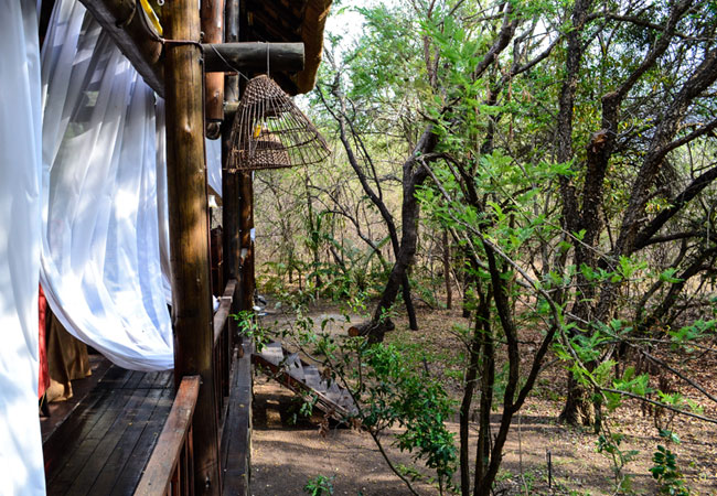 Marloth Park
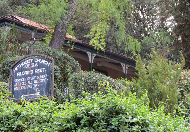 Pilgrim's Rest
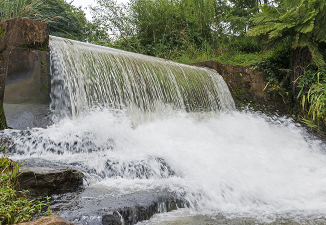 Hazyview
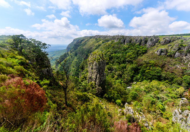 Graskop
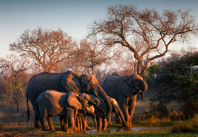 Sabi Sands
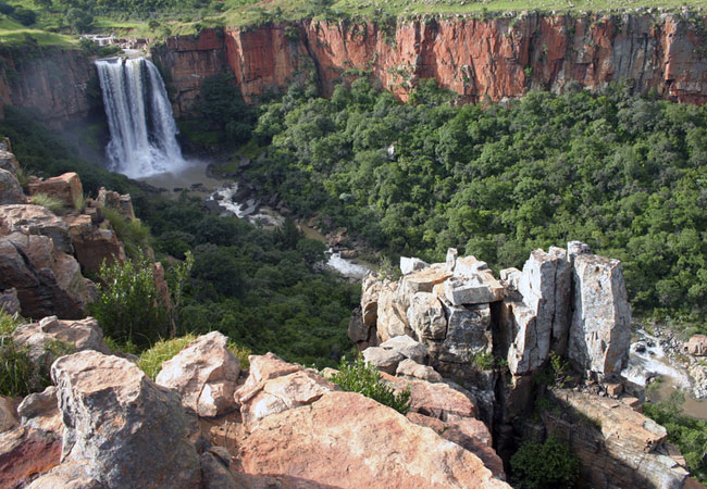 Waterval Boven
 Malelane
 White River
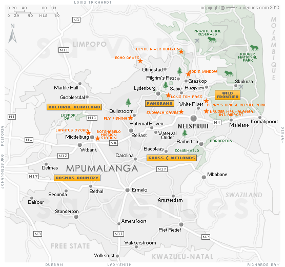