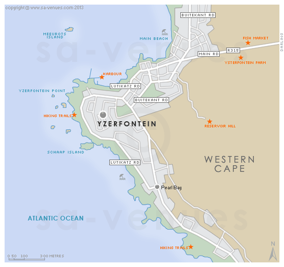
Map of Yzerfontein, Western Cape
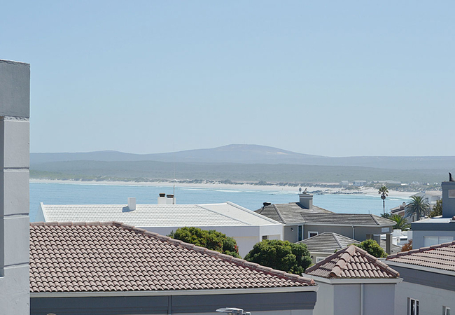
Yzerfontein detail and street level map showing some attractions and location of the West Coast National Park in relation to the town. Yzerfontein is a tranquil sea-side village, 80km north of Cape Town on the R27 and marks the start of the Cape West Coast. To find out more about Yzerfontein please visit Yzerfontein Information.
If you are interested in overnighting in the area, we can recommend some great accommodation options including hotels, guest houses and self-catering properties. If you're only planning on driving through Yzerfontein, en-route to another destination, you may want to peruse our Yzerfontein Restaurants before you leave to see if you should plan a stop here for lunch or maybe just a coffee. Also check out Yzerfontein Things To Do to see if there are any activities for which you would consider stopping.
Maps of the Western Cape
Provincial Maps
Street Level Maps
Western Cape Regions
Special Interests by Map
In the vicinity
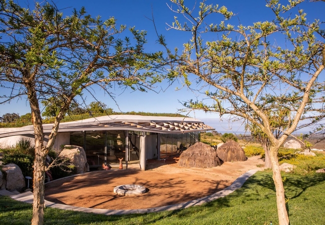
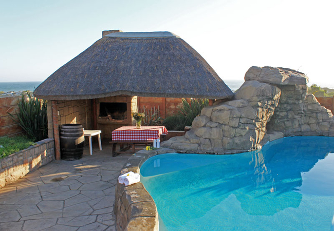
Hotels & other accommodation options
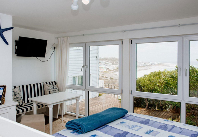
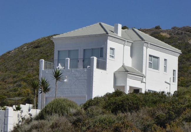
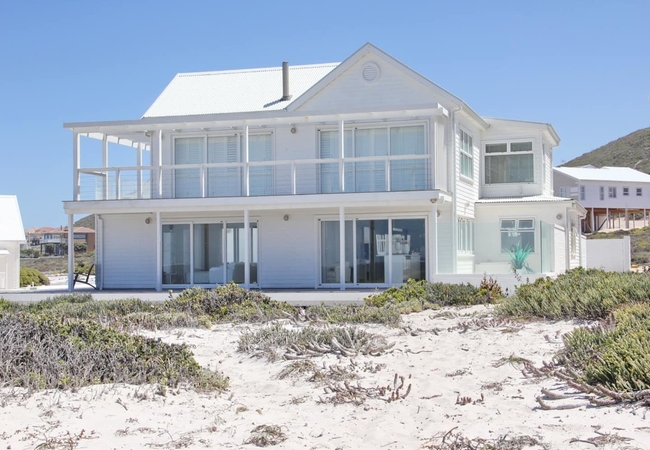
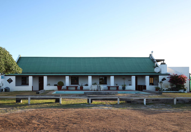
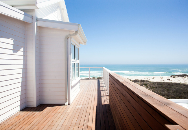
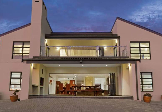
Sonvanger Villa
Sonvanger Villa is located in Yzerfontein and is a two bedroom house that is able to accommodate up to six guests. Yzerfontein is well known for ...
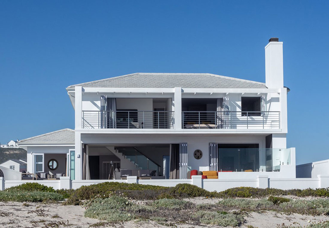
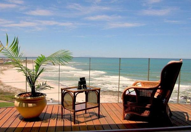
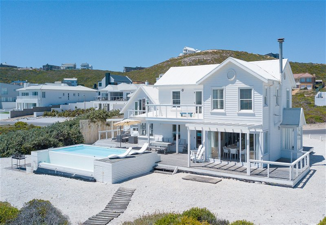
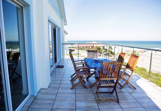
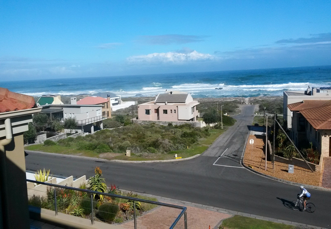
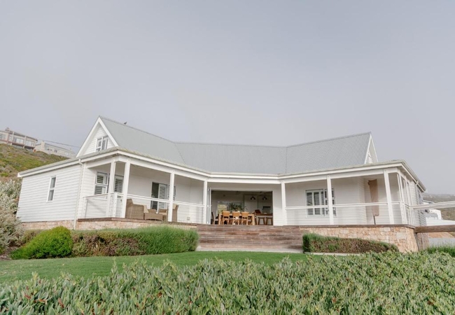
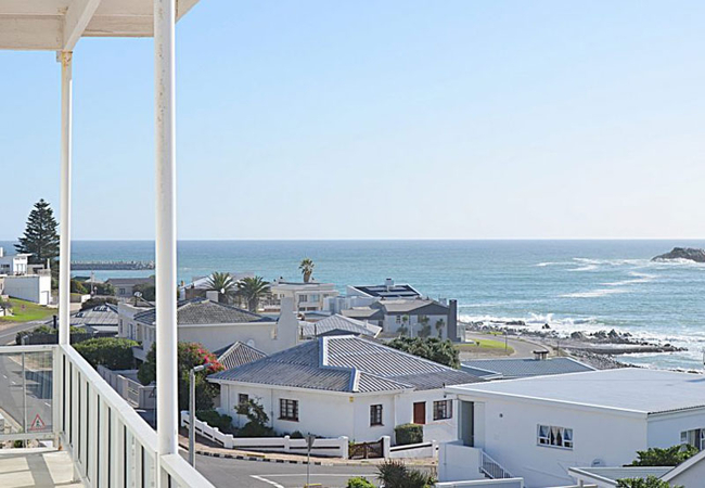
On The Beach Self Catering
On The Beach is situated on the beachfront in Yzerfontein. The lower level offers accommodation in two units with beautiful sea views and have a ...
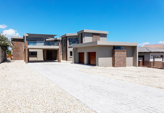
Tula Guest Farm Cottage
Situated in the Jacobuskraal Nature Reserve, Tula Guest Farm Cottage offers guests comfortably furnished self-catering accommodation in Yzerfonte...
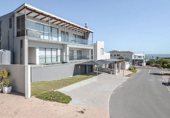
Swept Away Apartment
Swept Away Apartment offers accommodation in Yzerfontein and is the perfect getaway for couples seeking a romantic escape. The apartment is situa...
Beach Villa Die Duyker
Beach Villa Die Duyker offers comfortable accommodation in a lovely home with stunning ocean views. This beautifully appointed four bedroom home ...
Yzer Apartment 6
We welcome you to Yzer Apartment 6, Yzerfontein where you will find privacy, relaxation and comfortable upmarket accommodation on the Cape West C...
Rus-i-Biki
Rus-i-Biki is a self-catering holiday apartment in Yzerfontein with partial sea views, located in the Seaview Centre. Rus-i-Biki is air-condition...
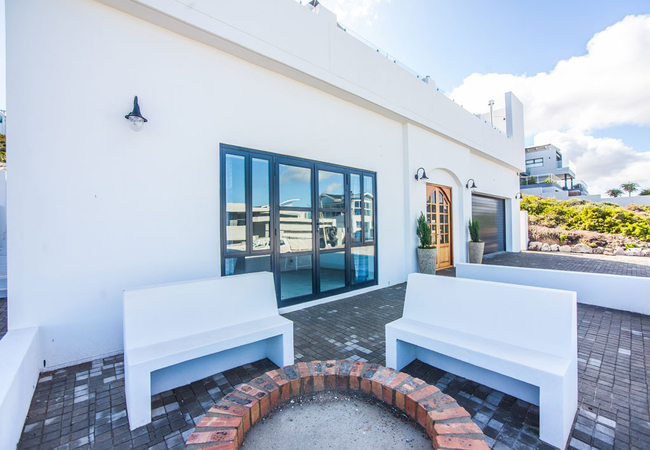
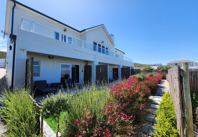
Swept Away Guest House
Swept Away Guest House is true to its name, nestled against a hill with stunning views of the bay below, and on a clear day you can even see Tabl...

Paradise Found Guesthouse
Situated just south of the West Coast Nature Reserve, Paradise Found Guesthouse in Yzerfontein is within a few minutes' walk from the beach. This...
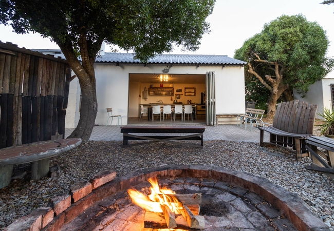
Blombosch Lodge
Blombosch Lodge is set amongst the Fynbos dunes of the West Coast and is just 8km from the beautiful village of Yzerfontein. There are a number o...
The Olive Tree Villa
The Olive Tree Villa is located in Yzerfontein on the West Coast and offers accommodation where you can wake each morning to the frothy trajector...
Flamingo Uitsig 17
Welcome to Flamingo Uitsig 17, a spacious and sunny house nestled in a charming coastal town. This large holiday home offers accommodation in Yze...
Seaview Villa
Seaview Villa is a three bedroom double storey house with sleeping capacity for six people, separate TV room, indoor living area and braai. This ...
Pearl Bay Beach Villa
Situated in Yzerfontein on the Cape West Coast, Pearl Bay offers accommodation for eight guests. The gorgeous house boasts lovely sea views and i...

Maki-Saki Self Catering
Maki-Saki Self Catering & Spa is located a mere 120 metres from the beach and offers Yzerfontein accommodation with spa facilities. Two of the ro...
16 Mile View Apartment
16 Mile View Apartment offers self-catering in Yzerfontein, right on the oceanfront. Guests can enjoy a tranquil beach break in this quiet West C...
Lumberjack Cottage
Lumberjack Cottage is a rustic cottage on Blombosch Farm just 5km outside Yzerfontein. The cottage provides self catering accommodation for four ...
White Sands
White Sands offers accommodation in a beautiful house in Yzerfontein on the Cape West Coast, only an hours drive out of Cape town. The house is j...

31 on Seaview Self Catering
31 on Seaview is a cosy, newly renovated and fully equipped self-catering pet friendly apartment nestled in the heart of Pearl Bay, Yzerfontein o...
Villa Fantastica Suite
Villa Fantastica Suite is a self-catering holiday apartment offering accommodation in Yzerfontein , located under the main house. This accommodat...
Kaijaiki Country Inn
Kaijaiki Country Inn in Yzerfontein on the West Coast of South Africa is just 45 minutes from Cape Town. A hideaway for those longing for a rest,...
Above Board
Above Board is a holiday house in Yzerfontein located in the 16 Mile Estate, just minutes from the front door there is a private beach access to ...
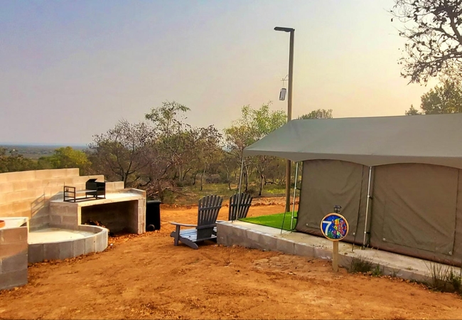
Peace Haven at Windfarm
Peace Haven at Windfarm offers private glamping accommodation on the West Coast with views of Yzerfonteins ocean. It is ideally situated between...

5 Pearl Bay Ocean Villa
5 Pearl Bay is a charming self-catering holiday home in Yzerfontein. Welcome to the world of luxury and coastal elegance in the prestigious Ocean...
Anchor's Rest Accommodation
Anchor's Rest Accommodation in Yzerfontein on the Cape West Coast is where you will find tranquillity, privacy, and relaxation. This is perfect f...

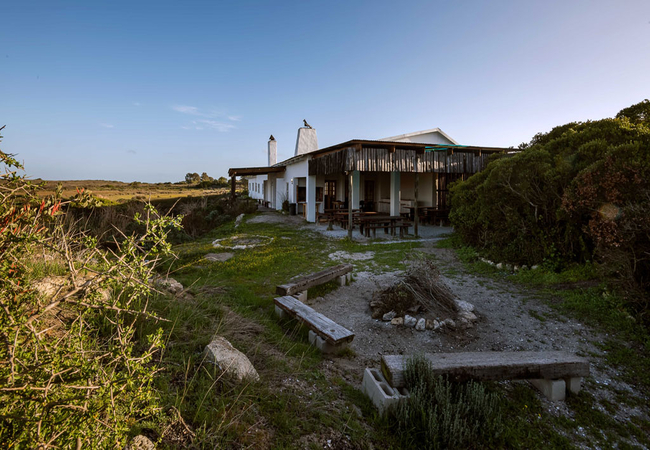
Fynbos Cabins at !Khwa ttu
On the sea side of the Nature Reserve discover our wood and stone Fynbos Cabins, simple luxury beneath vast, blue West Coast skies. A private bal...

Yzer Escape
Yzer Escape provides self-catering accommodation in Yzerfontein which is luxurious, spacious and sleeps a maximum of eight guests. Step outside a...

Sea Glimpse Yzer
Sea Glimpse Yzer is perfect for a getaway to the tranquil seaside village that marks the start of the beautiful Cape West Coast Region. Sea Glim...
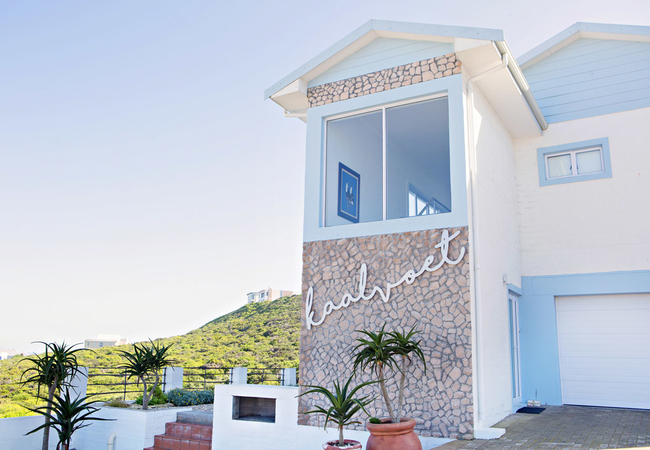
Kaalvoet Villa
Kaalvoet Villa is the top floor, upmarket holiday home offering accommodation in Yzerfontein. From here you are only 150 metres from the beach wi...
83 Dassen Island
Nestled against a hill and boasting 180 degree sea views, 83 Dassen Island is a charming self catering holiday apartment which accommodates four ...
Tula Guest Farm House
Tula Guest Farm House offers two rooms furnished with a Queen-size and a single bed, three rooms with double beds, and an attic room that is furn...
Casa Tierra
Casa Tierra is just over an hour drive from Cape Town, come and enjoy a peaceful breakaway with your favourite people to the quiet seaside town o...
Flamingo House 21
Flamingo House 21 is a self-catering holiday home in walking distance of the beach. It is perfect for a family or a group of friends and sleeps t...
Sandybanks 15
Sandybanks 15 is a romantic holiday apartment in Yzerfontein where guests can relax and enjoy stunning sea views. It is ideally situated on a qui...
Pelican's View
Pelican's View is located in the quiet coastal village of Yzerfontein. The tastefully furnished apartment is located in the owner's property, off...

Breakaway Apartment
Breakaway Apartment sleeps three guests in a bedroom with a Queen-size bed and a three-quarter bed in the lounge. The bedroom has an en-suite bat...
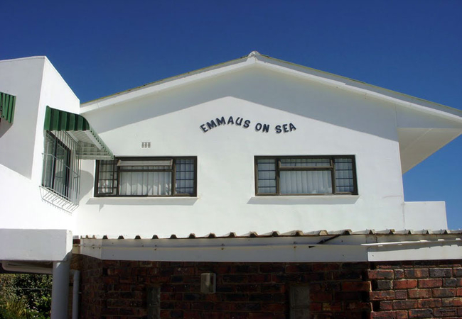
Emmaus On Sea
Emmaus on Sea offers you a self catering accommodation on the Cape West Coast. So you're going away to unwind or to play or possibly simply to re...
Atlantic 62
With breath-taking views over the Atlantic, Dassen Island and Table Mountain in the distance, Atlantic 62 lies on a cliff-top within Yzerfontein'...
Thyme & Tide
Thyme & Tide offers accommodation in a seven bedroom beach house in Yzerfontein on the Cape West Coast. The house is is perched on the dunes and ...
Blombosch Farmhouse
Blombosch Farmhouse is the perfect getaway destination, offering Cape West Coast self catering for a family or friends. Ideal for two families, o...
Lewens-Essens on C
At Lewens-Essens B&B your soul will be enriched by the beauty of nature. Amongst other things the unobstructed 180 degree view will reward you wi...
Lugkasteel
Situated in Yzerfontein on the Cape West Coast, Lugkasteel Holiday Home offers self catering accommodation for five guests. The house boasts beau...
Pearl Haven
Pearl Haven is a double storey house and offers comfortable West Coast self catering fit for the whole family. This spacious holiday home on the ...
Captain's Cabin
Captain's Cabin can accommodate up to a maximum of 26 people in seven rooms. Four of the rooms contain double beds and en-suite bathrooms. The ot...

Dassen Island Apartment
Dassen Island Apartment has three bedrooms. It has a fully equipped kitchen including a washing machine, dishwasher, and coffee machine. The livi...
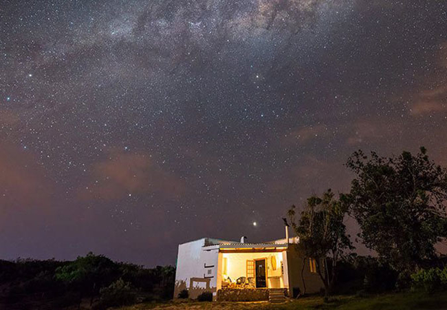
Blombosch Jaghuisie
Situated on a farm just 8kms outside Yzerfontein, Blombosch Jaghuisie boasts a beautiful setting overlooking salt pans. The nights skies are fill...
Villa Fantastica
Villa Fantastica is a self-catering villa offering comfortable accommodation in Yzerfontein on the Cape West Coast. This holiday home is ideal fo...

Barefoot Bungalow
Barefoot Bungalow offers quality accommodation in Yzerfontein for a family or group of friends. The Holiday Home sleeps six guests in three bedro...
Villa Insolventa
Villa Insolventa is ideal for a visit to Yzerfontein and the West Coast, being within walking distance from the beach. The Villa can accommodate ...
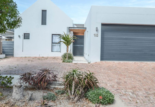
13 on Main
13 on Main is a one-minute walk to the main beach, just one of the benefits when choosing this home for your stay. The home has all the amenities...

Anna se Huis
Anna se Huis is set one street back (150m) from Yzerfontein's long sandy shore. This direct proximity to the beach, the ocean views from nearly e...

16 Mile View Holiday Home
16 Mile View Holiday Home is located on the oceanfront in this laid-back beach village. It has two bedrooms on two different levels. The upstairs...
Things to do in the area - see all in Cape West Coast
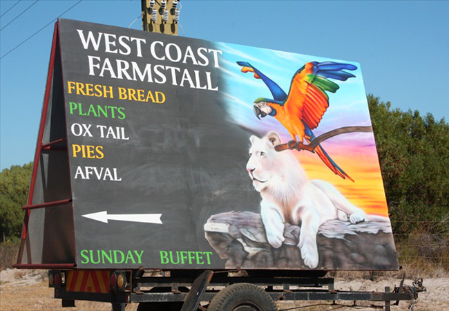
West Coast Farm Stall
For a great afternoon out and the best farm stall experience ever, get to the West Coast Farm Stall. Not only will you be blown away by the gift ...
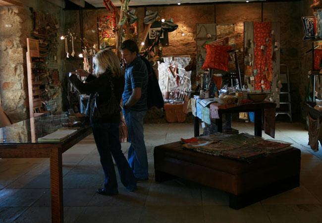
Arts & Crafts Shop at !Khwa ttu
The Arts & Crafts shop at !Khwa ttu proudly display only genuine arts and crafts produced by the San people. The shop is supplied with work creat...

Tribal discoveries at !Khwa ttu
!Khwa ttu ('water pan') is an 850 Ha expression of the San kinship. This indigenous Southern African minority group has only 6700 San people livi...
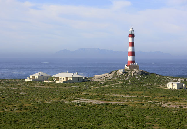
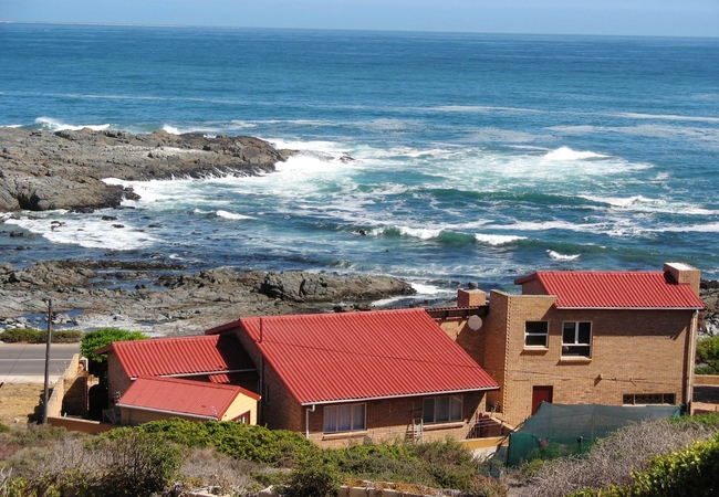
Dassen Island Lighthouse
Whilst lighthouses by their very nature are destined for remote stations, Dassen Island, off Yzerfontein, can today claim to be the most isolated...
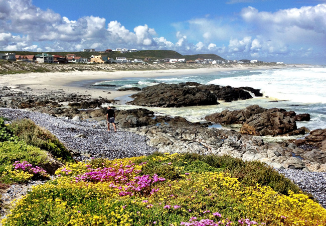
Pearl Bay Beach
Pearl Bay Beach is on the southern edge of Yzerfontein and is quiet, secluded and unspoilt. Development in the area only means that its just goi...
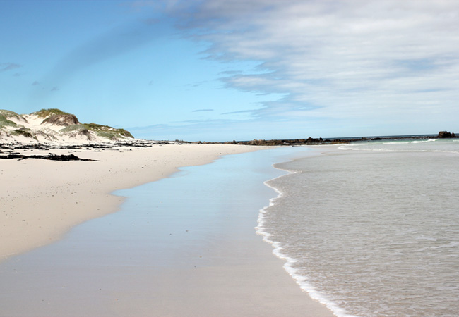
Yzerfontein's Main Beach
The 16 miles of Yzerfontein beach stretches from just north of the start of the main beach and all the way up to the West Coast National Park whi...
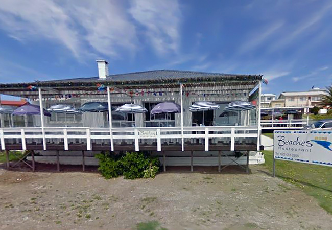
Beaches Restaurant
You'll first be attracted by the colourful umbrellas and friendly looking white washed tables with their blue seats on the verandah of this invit...
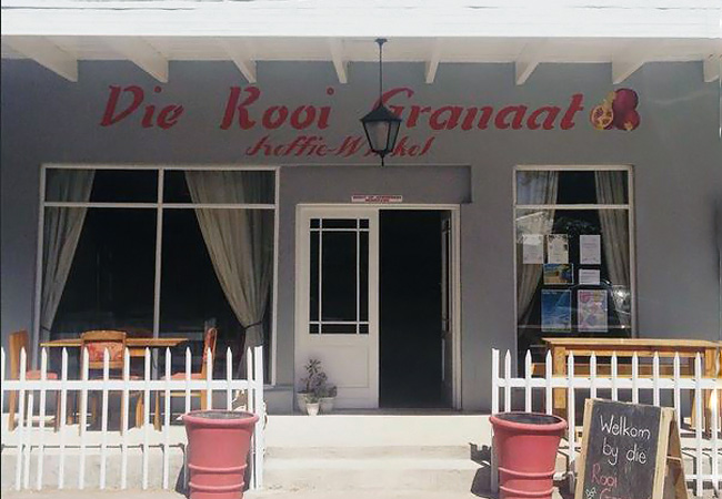
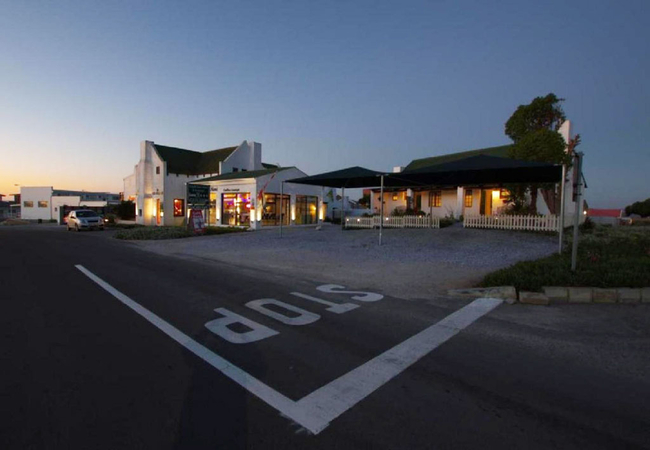
Die Rooi Granaat Restaurant
Immensely popular, even after five years of trading in the seaside resort of Yzerfontein, Die Rooi Granaat serves its patrons with true South Afr...

Vyge Valley Farmers Market
The Vyge Valley Farm Stall is found on the Cape West Coast Road and hosts, on the last Saturday of each month, a fresh produce market. Items ava...
Noteworthy attractions - see all in Cape West Coast
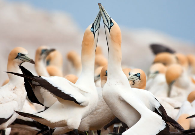
Bird Island Nature Reserve
The worlds most accessible Cape gannet colony can be found on an island, linked to Lamberts Bay by a breakwater wall. Bird Island also gives sh...
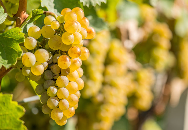
Darling Wine Route
Although traditionally part of the Swartland, Darling is now a demarcated wine district and home to her own wine route, including five wine cella...
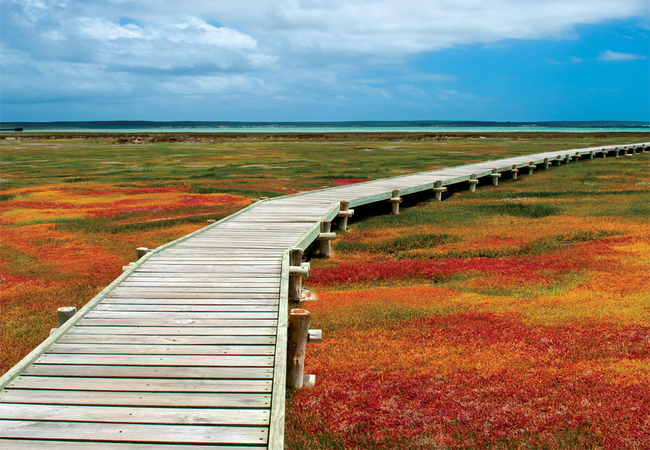
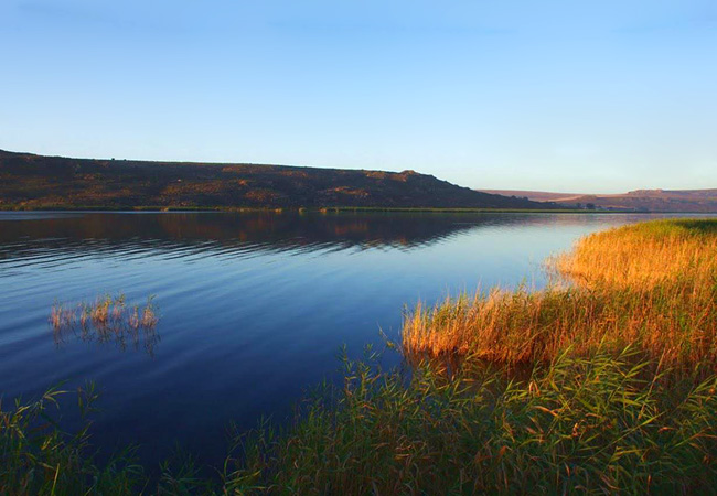
West Coast National Park
Just inland from the secluded harbour of Saldanha Bay one finds the azure waters of the Langebaan Lagoon, focal point of the West Coast National ...

Rocherpan Nature Reserve
Rocherpan enthusiasts who head off along the West Coast to visit this nature reserve near Velddrif will possibly mention to you that the bird lif...

Langebaan Golf Club
The Golf Course at Langebaan Country Club is a links-type course, designed as a figure 8 winding around residential stands. Located on the unspoi...
Verlorenvlei
Verlorenvlei is a long estuary stretching between the villages of Elands Bay and Redelinghuys, some 25 kilometres south of Lamberts Bay. It is n...
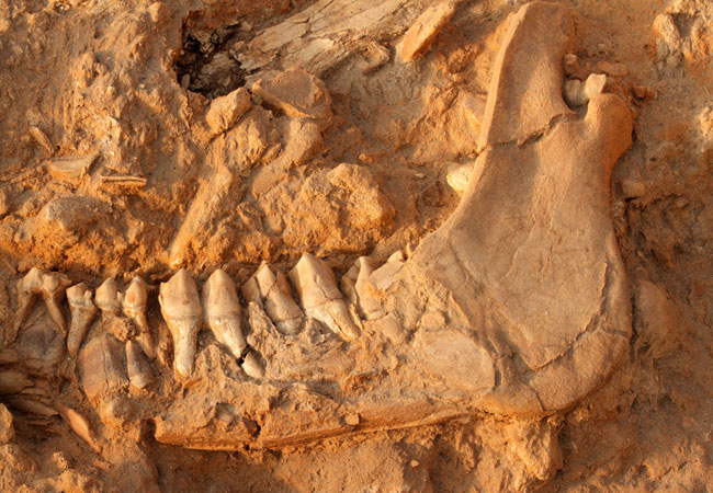
West Coast Fossil Park
For the visitor, the highlight of the West Coast Fossil Park is the live exhibit of an ongoing excavation of early Pliocene fossils (fossils fr...
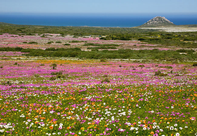
Postberg Flower Reserve
The Postberg Flower Reserve is not always available for you to visit. Even though it forms part of the West Coast National Park, this part of it ...

Darling Wind Farm
On the hills just outside Darling, roughly 70 kilometres from Cape Town, stand four wind-generated mills. It's known as an Eskom demonstrator sit...
Find accommodation in Yzerfontein
FIND / South Africa Accommodation / Western Cape Accommodation / Cape Town Accommodation / Cape West Coast Accommodation / Yzerfontein Accommodation
Yzerfontein as a destination
Why book with SA-Venues.com
- Your card is safe with us; strictest card verification in the industry and we don't store card numbers.
- No airy fairy service fees; you save!
- We care. Service with integrity.
- Multiple payment methods:
credit card, SID instant EFT, bank transfer. - All Yzerfontein property owners / managers are verified (our experience protects you from online fraud).
- Secure your booking
Maps
Destination Yzerfontein
- By type in Yzerfontein
- Yzerfontein Accommodation
- Yzerfontein Guest Houses
- Yzerfontein Bed & Breakfast
- Yzerfontein Self Catering
- & Holiday Apartments & Suites
- & Holiday Cottages & Chalets
- & Holiday Homes & Villas
- Yzerfontein Honeymoons
- Destinations near Yzerfontein
- Britannia Bay, Darling, Doringbaai, Dwarskersbos, Elands Bay, Grotto Bay, Jacobsbaai, Kraalbaai, Laaiplek, Lamberts Bay, Langebaan, Lutzville, Mamre, Nuwerus, Paternoster, Philadelphia, Port Owen, Redelinghuys, Saldanha, Shelley Point, St Helena Bay, Stompneusbaai, Strandfontein, Vanrhynsdorp, Velddrif, Vredenburg, Vredendal
- Resources for tourists
- About Yzerfontein
- Things To Do
- Attractions
- Reviews