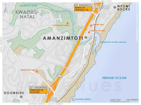
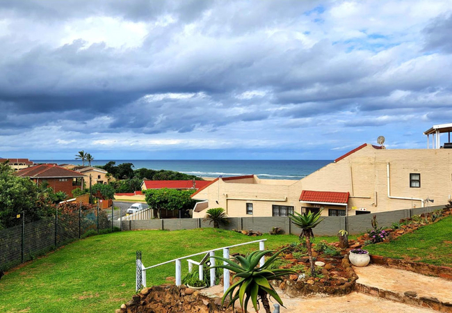
Map of Amanzimtoti, KwaZulu Natal
Amanzimtoti street level map showing popular attractions and suburbs of Amanzimtoti (Nyoni and Doonside). Amanzimtoti is a popular seaside destination for the family. One of the reasons for this is that Amanzimtoti borders the warm Indian Ocean. The water is ideal for all year round swimming, snorkelling, diving and surfing adventures. From June to August the very popular annual 'Sardine Run' takes place ... For additional information see Amanzimtoti Information.
If you are interested in overnighting in the area, we can recommend some great accommodation options including hotels, guest houses and self-catering properties. If you're only planning on driving through Amanzimtoti, en-route to another destination, you may want to peruse our Amanzimtoti Restaurants before you leave to see if you should plan a stop here for lunch or maybe just a coffee. Also check out Amanzimtoti Things To Do to see if there are any activities for which you would consider stopping.
Maps of KwaZulu Natal
Provincial Maps
Street Level Maps
KwaZulu Natal Regions
Special Interests by Map
In the vicinity
Hotels & other accommodation options

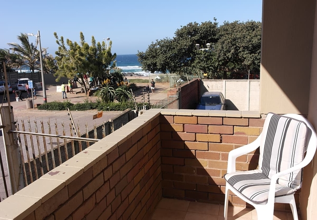
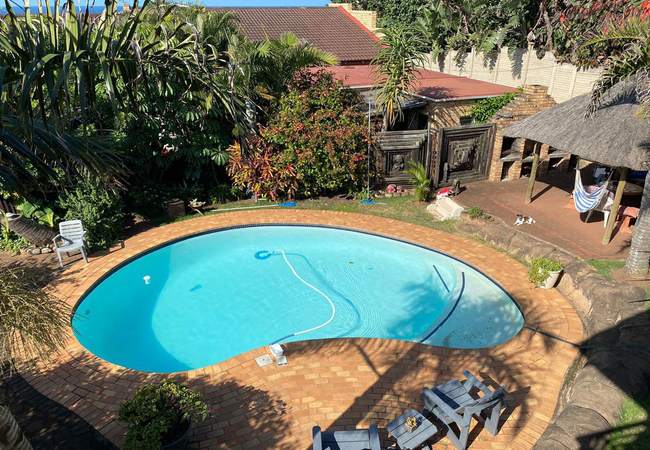
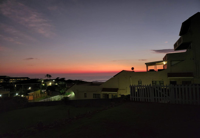
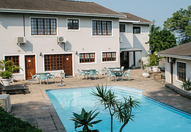
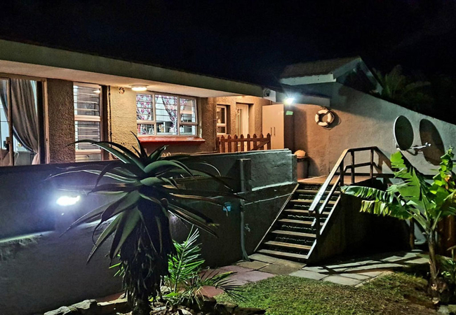
Happy Days Two Bed Apartment
Happy Days Two Bed Apartment offers guests a well-appointed apartment situated a stone's throw from the beach. Explore miles of unspoiled beaches...
Victorian Beach Cottages
Victorian Beach Cottages is a self-catering guest house located in the coastal town of Amanzimtoti. The guest house is situated close to attracti...

Asante Sana Guesthouse
Located n Amanzimtoti, Asante Sana Guesthouse sits on top of the hill and is a short five minute drive to the beach. The guesthouse has seven roo...
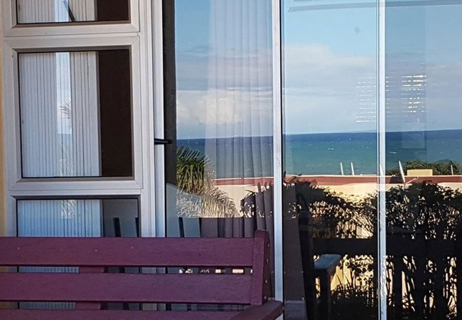
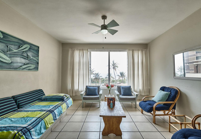
Stella Maris 195
Stella Maris 195 is a lovely apartment with sea views ideally located in the secure Stella Maris building. This accommodation in Amanzimtoti over...
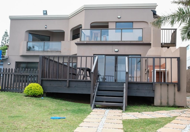
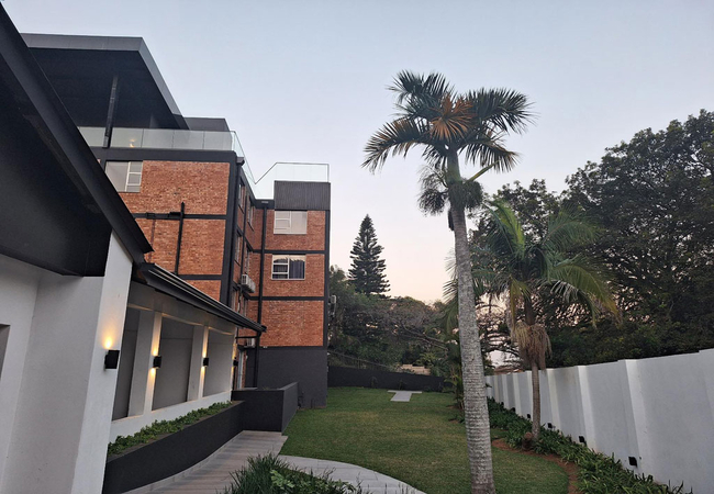
The View Boutique Hotel & Spa
An exclusive lodge with sweeping views of the Indian Ocean, set in the quiet coastal village of Amanzimtoti, 12 km from Durban airport. Air-condi...

The Sandcastle Guest House
Sandcastle Guest House in Amanzimtoti has a barbecue and a private beach area and guests can enjoy a drink at the bar. Free Wi-Fi is provided thr...
Sandy Toes and Salty Kisses
Offering accommodation for four guests, Sandy Toes & Salty Kisses is a comfortably furnished holiday apartment located within walking distance of...

L'Escalier Cabanas 308
L'Escalier Cabanas 308 is a self-catering apartment offering accommodation in Amanzimtoti in the L'Escalier Cabanas complex. Ideally set on the b...
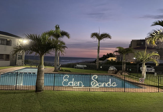
Eden Sands 1
Eden Sands 1 offers accommodation in a small seaside resort north of the mouth of the Illovo River in KwaZulu-Natal. Delight hardly describes the...
Palmwood Guesthouse
Palmwood Guesthouse is located in Amanzimtoti and offers homely accommodation for business or leisure travellers. The property is central to loca...

L'Escalier Cabanas 507
L'Escalier Cabanas 507 is located in the secure L'Escalier Cabanas complex in Amanzimtoti. The complex is set on the beachfront, and has a commun...
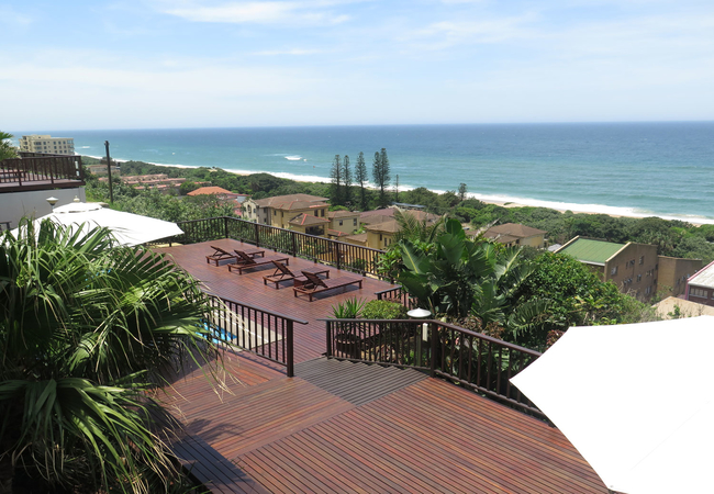
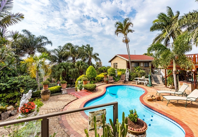
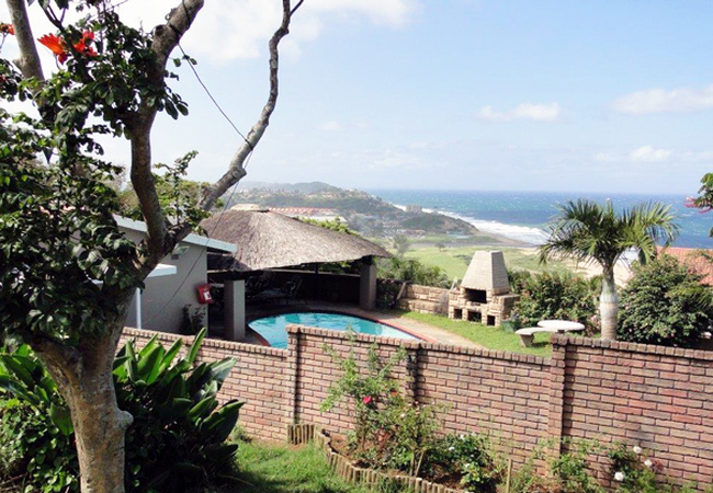
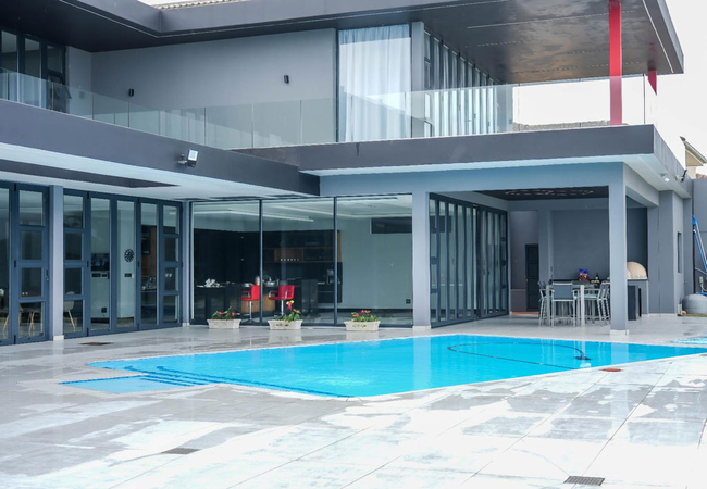
Alante Lodge
Alante Lodge offers superb luxury and affordable accommodation with breath taking seaviews. Situated in between the 'heart of it all', sandy beac...
Beachfront Cabanas
Situated in Winkelspruit on the KwaZulu Natal South Coast, Beachfront Cabanas provides accommodation in five fully equipped cabanas. The cabanas ...
Key Largo 3
Situated in a popular child-friendly resort in Doonside, Key Largo 3 offers self catering accommodation for six guests. The well furnished and fu...
Barefoot Beach House
Situated in Doonside, Barefoot Beach House offers comfortable pet friendly accommodation. Here guests are able to do various activities such as h...
Beach Retreat Guest House
Beach Retreat Guest House offers accommodation within close proximity of the Arbour Crossing Shopping Centre and is a short drive from KwaMnyandu...
The Milkwood Beach Apartments
Milkwood Beach Apartments are situated alongside the beautiful warm Indian Ocean on the Sapphire Coast. There are four units to choose from. All ...
Coastal Beach Resort
Coastal Beach Resort is located on the shores of Umgababa Beach in Amanzimtoti. The resort is close to town central with restaurants and shops on...

Birdcage B&B
Birdcage Bed and Breakfast is located in the town of Kingsburgh on the KwaZulu Natal South Coast. Only a stone's throw from Aliwal Shoal, Birdcag...
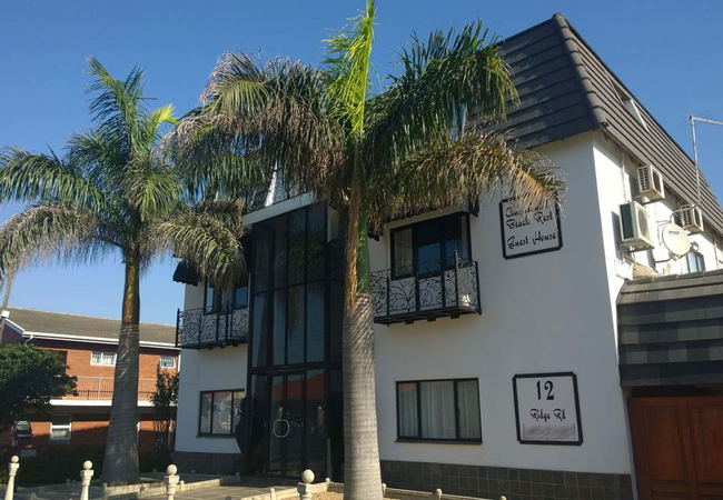
Amanzimtoti Beach Rest Guesthouse
Amanzimtoti Beach Rest is an upmarket, owner managed guesthouse, conveniently situated a mere 200 meter stroll from Amanzimtoti Beach. Offering n...
Palm Lodge Guesthouse
Palm Lodge accommodates 16 guests in eight en-suite guest suites in the popular coastal town of Amanzimtoti. Blessed with a subtropical climate a...
Mattaniah Unit Three
Mattaniah Unit Three is a cosy self catering apartment located in Winklespruit. The apartment is within walking distance from St Winifreds beach....
Amazing Seaviews
Situated in Amanzimtoti, Amazing Seaviews is an exclusive yet affordable bed and breakfast. Guests are assured of wonderful hospitality and perso...

Seven Seas SA
Seven Seas SA apartment sleeps six guests in two bedrooms. The main room has a double bed and the second room has a double bed and a bunk bed. Th...
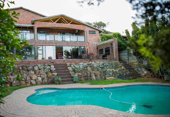
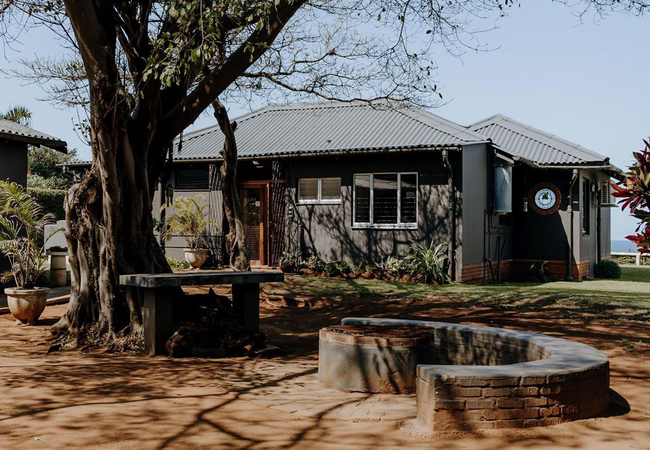
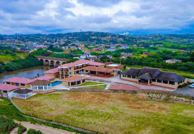
Serendipity Country House
Serendipity Country House is situated overlooking the Illovo River and sugar cane fields on the south side of Amanzimtoti, located 29km from Kenn...

Dolphin Point B&B
Dolphin Point offers accommodation in Amanzimtoti. Each room boasts a TV with DStv (hotel bouquet), a room phone, Wi-Fi internet access, air cond...
Happy Days Studio Apartment
Happy Days Studio Apartment offers guests a well-appointed apartment situated a stone's throw from the beach in Amanzimtoti. Explore miles of uns...
African Sands B&B
African Sands is an upmarket bed & breakfast in Amanzimtoti offering comfortable, affordable business and holiday accommodation in a warm, friend...
Mattaniah Unit One
Mattaniah Unit One is a cosy apartment offering accommodation in Winklespruit. The apartment is within walking distance of the quiet and beautifu...
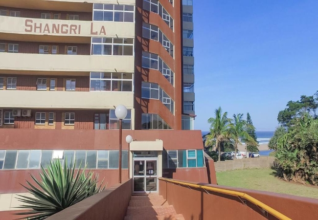
Shangri LA 803
Shangri LA 803 is a sea facing self catering apartment situated just meters away from Doonside beach. The apartment sleeps up to four guests in t...
Shangri-La Penthouse View
Shangri La 1701 is a spacious sea facing self-catering apartment offering accommodation in Doonside. Located on the beach in Doonside, Kingsburgh...
Mattaniah Unit Two
Mattaniah Unit Two is a self catering holiday apartment. The apartment has one bedroom furnished with a double bed and there is a sofa bed suitab...
Happy Days One Bed Apartment
Happy Days One Bed Holiday Apartment in Amanzimtoti offers guests a well-appointed apartment situated a stone's throw from the beach. Explore mil...
253 On Ipahla
253 On Ipahla is a two-bedroom holiday apartment in Amanzimtoti offering luxury self-catering accommodation situated on the owner's property in A...
Shangri LA 208
Shangri LA 208 is a self catering apartment located close to Doonside beach. The apartment is comfortable, sleeping up to four guests in two bedr...
Things to do in the area - see all in South Coast
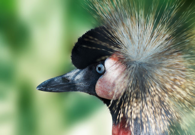
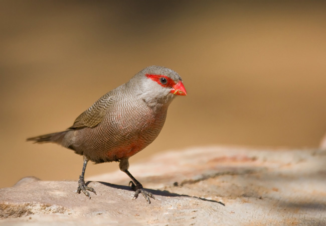
Amanzimtoti Bird Sanctuary
The Amanzimtoti Bird Sanctuary is a popular attraction. It consists of a large expanse of open shimmering water surrounded by rolling lawns. Gard...

Ice Skating at Galleria
This Galleria Skating Rink is situated at the new Galleria Shopping Mall in Amanzimtoti. It incorporates the latest technologies used in "ice rin...
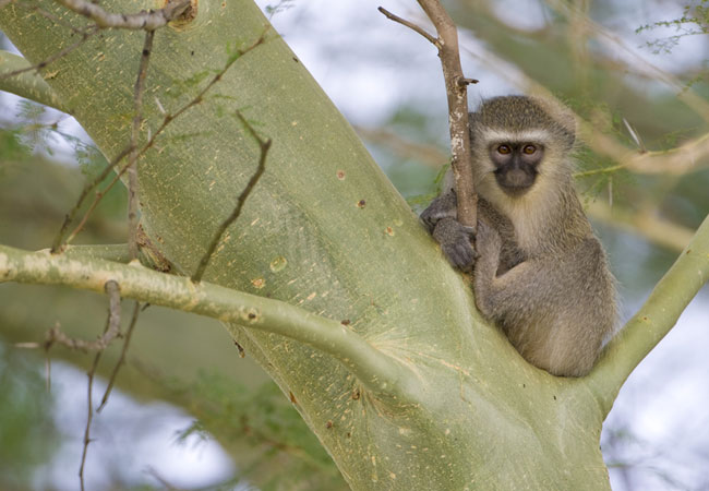
Visit the iLanda Wilds Reserve
The reserve is currently undergoing major restoration in order to preserve its natural beauty as well as its historical and cultural importance.T...
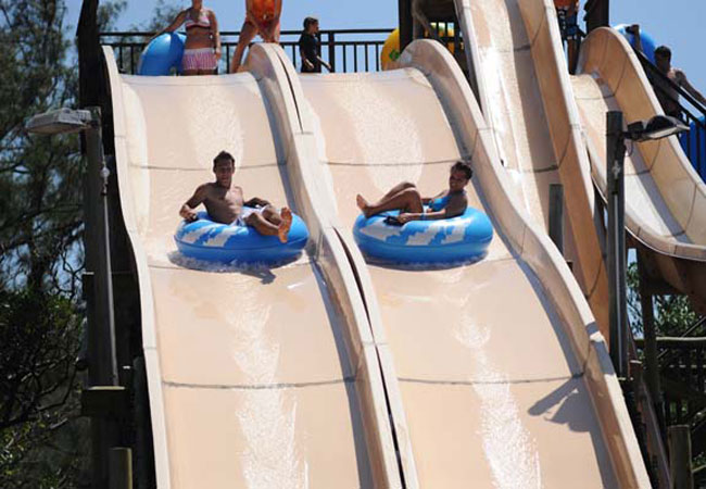
Splash Water World
Dubbed by locals as Totis best kept secret....., Splash Water World water park provides families with a full days entertainment. Situated on A...
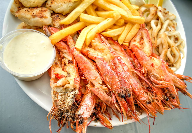
The Thirsty Whale
Baggies, bikinis and beach sand, authentic tunes carried on warm ocean breezes. Lazy afternoons enjoying fruity cocktails. Breathtaking sea views...
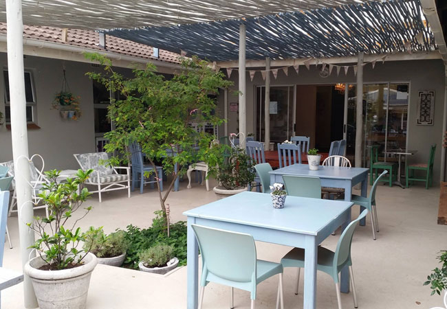
Coffee Shop at 22 on Rockview
Beauty and tranquility is the atmosphere in which all the ladies come and enjoy a cup of coffee amongst the company of an old friend over a lovel...
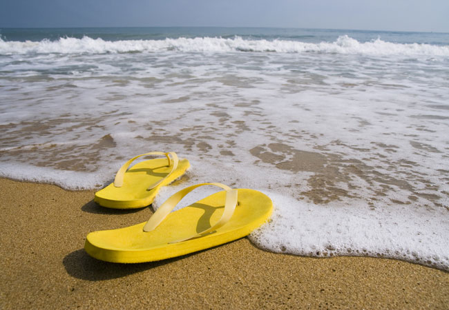
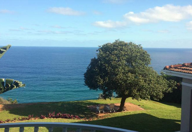
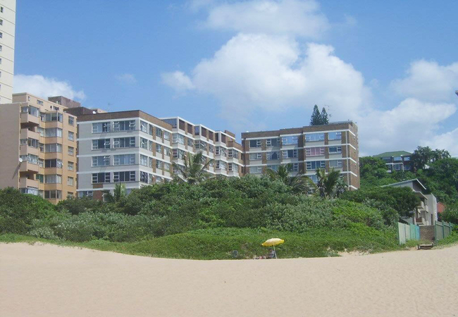
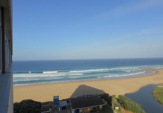
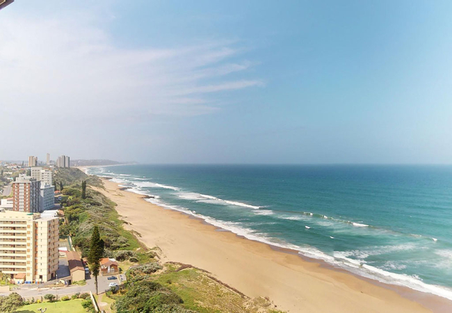
Amanzimtoti Beach
Amanzimtoti Beach borders the warm Indian Ocean which makes the water ideal for all year round swimming, snorkelling, diving, surfing and family ...
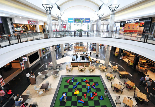
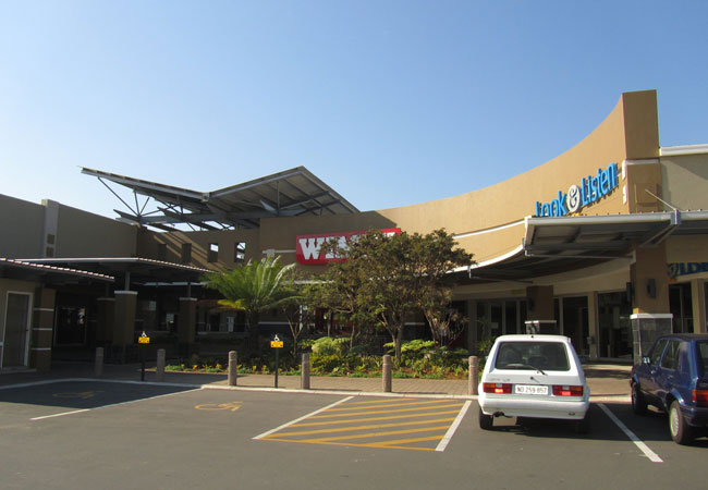
The Galleria
Amanzimtoti's favourite shopping centre offers its patrons 12 movie houses, the Galleria skating rink, indoor mini-golf / putt-putt, plenty of gr...
Arbour Crossing Shopping Centre
Arbour Crossing Shopping Centre in Amanzimtoti is a popular place, conveniently located with everything you could possible need all in one centra...
Noteworthy attractions - see all in South Coast
Mkambati Nature Reserve
Flanked on either side by the forested ravines of the Msikaba and Mtentu Rivers, Mkambati Nature Reserve is 8000 hectares of coastal reserve that...
Oribi Gorge Nature Reserve
The Oribi Gorge Nature Reserve is a wonderfully scenic area offering excellent hiking opportunities. The area boasts cliffs and forests and spect...
Umtamvuna Nature Reserve
The Umtamvuna Nature Reserve is famous for its magnificent views of the deep Umtamvuna River Gorge. Umtamvuna is a treasure house of rare and end...
Vernon Crookes Nature Reserve
The Vernon Crookes is a delightful and convenient reserve for travellers holidaying on the South Coast of KwaZulu Natal. Vernon Crookes Nature Re...

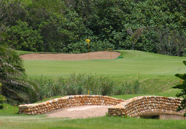
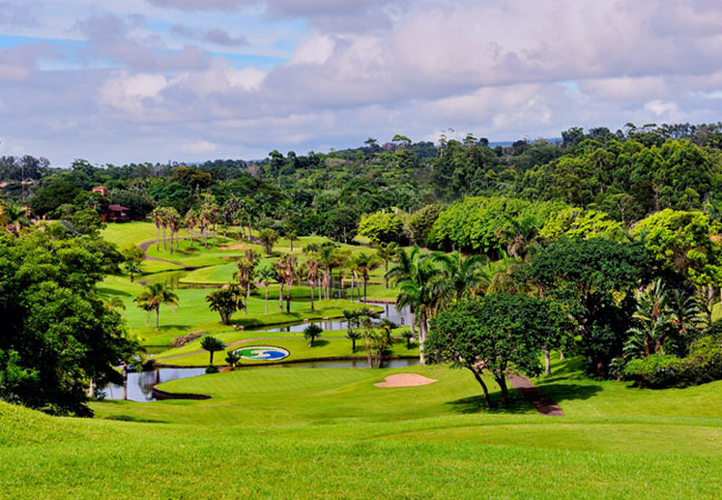
Amanzimtoti Golf Club
Set just south of Durban and on the white sandy shores of KwaZulu Natal lays the Amanzimtoti Golf Course and Country Club. Originally opened, in ...

Margate Country Club
Margate golf course game may appear to be easy at first, dont be lulled into contentment; this is an extensively challenging course. The Margate...
Port Shepstone Country Club
Port Shepstone's golf course is one of the most popular along the South Coast and is well supported by local and overseas visitors alike. The cou...
San Lameer Country Club
The San Lameer golf course is situated on the Durban South Coast and is rated one of the top 30 South African golf courses. Opened in 1922 the co...

Scottburgh Golf Club
Scottburgh Golf Club's undulating golf course has a most attractive setting with the sight and sounds of the Indian Ocean always in the backgroun...
Find accommodation in Amanzimtoti
FIND / South Africa Accommodation / KwaZulu Natal Accommodation / South Coast Accommodation / Amanzimtoti Accommodation
Amanzimtoti as a destination
Why book with SA-Venues.com
- Your card is safe with us; strictest card verification in the industry and we don't store card numbers.
- No airy fairy service fees; you save!
- We care. Service with integrity.
- Multiple payment methods:
credit card, SID instant EFT, bank transfer. - All Amanzimtoti property owners / managers are verified (our experience protects you from online fraud).
- Secure your booking
Maps
Destination Amanzimtoti
- By type in Amanzimtoti
- Amanzimtoti Accommodation
- Amanzimtoti Hotels
- Amanzimtoti Guest Houses
- Amanzimtoti Bed & Breakfast
- Amanzimtoti Self Catering
- & Holiday Apartments & Suites
- & Holiday Cottages & Chalets
- & Holiday Homes & Villas
- Amanzimtoti Honeymoons
- Destinations near Amanzimtoti
- Anerley, Bazley, Clansthal, Doonside, Elysium, Glenmore Beach, Harding, Hibberdene, Illovo Beach, Ixopo, Kelso, Kingsburgh, Leisure Bay, Manaba Beach, Margate, Marina Beach, Melville Beach, Mtwalume, Munster, Oribi Flats, Oribi Gorge, Oslo Beach, Palm Beach, Pennington, Port Edward, Port Shepstone, Pumula, Ramsgate, San Lameer, Scottburgh, Sea Park, Selborne, Shelly Beach, Southbroom, Southport, St Michaels On Sea, Trafalgar, Umgababa, Umkomaas, Umtentweni, Umzumbe, Uvongo, Warner Beach, Widenham, Winklespruit
- Resources for tourists
- About Amanzimtoti
- Things To Do
- Attractions
- Reviews