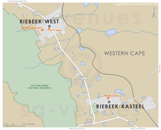
Map of Riebeek Kasteel, Western Cape
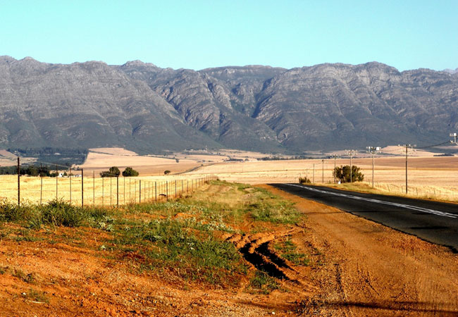
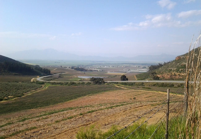
Riebeek Kasteel detail and street level map showing popular landmarks and attractions. Lying in the heart of the Riebeek Valley on the slopes of the Kasteelberg, Riebeek Kasteel is an easy 75 kilometre drive along the N7 from Cape Town in the heart of the Swartland ... To find out more about Riebeek Kasteel please see Riebeek Kasteel Information.
If you are interested in overnighting in the area, we can recommend some great accommodation options including hotels, guest houses and self-catering properties. If you're only planning on driving through Riebeek Kasteel, en-route to another destination, you may want to peruse our Riebeek Kasteel Restaurants before you leave to see if you should plan a stop here for lunch or maybe just a coffee. Also check out Riebeek Kasteel Things To Do to see if there are any activities for which you would consider stopping.
Maps of the Western Cape
Provincial Maps
Street Level Maps
Western Cape Regions
Special Interests by Map
In the vicinity
Hotels & other accommodation options

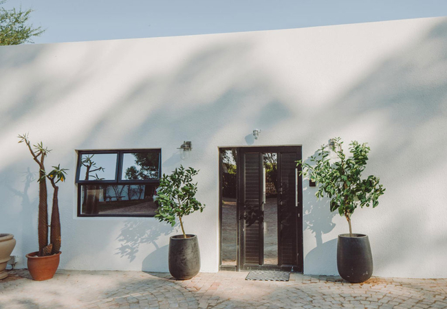
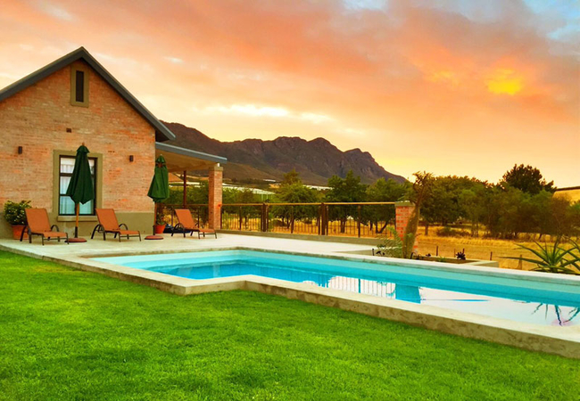
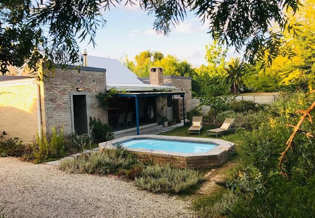
Lekkerberg
Lekkerberg is a self catering guest house in Riebeek Kasteel. Step inside any of the three exclusive queen size rooms and you'll find an eclectic...
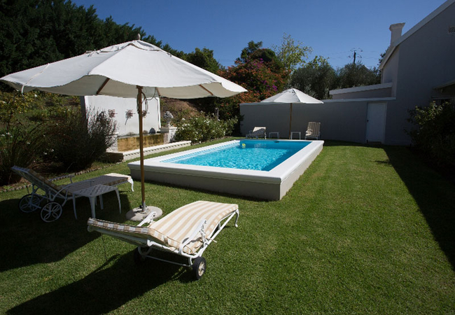
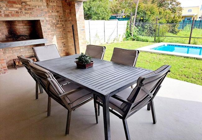
Welterusten Olive & Vine
Welterusten Olive & Vine is open-plan and furnished with a King-size bed or two single beds. There is an open-plan kitchen and the living area op...
Kokos Huis
A restored Cape Dutch farmhouse, Kokos Huis offers accommodation in Riebeek-Kasteel. The guesthouse is only an hour from Cape Town. You will love...
Villa Anna Katarina
Boasting views of the Riebeek Valley, Anna Katarina is situated in a quiet street in Riebeek Kasteel. Shops, art galleries and restaurants are al...
Welterusten Studio
Welterusten Studio offers self-catering countryside accommodation in Riebeek-Kasteel, set against the KasteelBerg mountain and only a short drive...
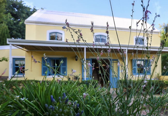
Kloovenburg Pastorie
Kloovenburg Pastorie is a Victorian styled Guest House offering comfortable accommodation in Riebeek Kasteel. Sample fabulous wines and olives on...
La Montagne Guesthouse
Situated in the heart of Riebeek Kasteel, Swartland, La Montagne is the ideal base from where to explore the village. There are several excellent...

Bloemendal Guest Cottage
Bloemendal Guest Cottage is a lovely self catering Cottage is situated in the Riebeek Kasteel valley a mere hour and a half drive from Cape Town....
Riebeek Vista
Rest your feet at our purpose built holiday home, Riebeek Vista offers accommodation in the stunning historic town of Riebeek Kasteel. There are ...
Vineyard Views Country House
Vineyard Views Country House offers bed & breakfast accommodation in four lovely rooms in Riebeek Kasteel. All the guest rooms have mountain and ...
Karenina's Cottage
This self-catering cottage for four guests has two double bedrooms, each with an en-suite bathroom. The open plan living area has a fully equippe...
1 Royal Street Guesthouse
1 Royal Street Guesthouse in Riebeek Kasteel is a unique and charming boutique guesthouse nestled in the heart of one of the oldest and most hist...
Gabriellas
Centrally located and facing the town square in Riebeek Kasteel, Gabriellas offers accommodation within easy walking distance of restaurants and ...
Blaauw Cottage
Blaauw Cottage offers self catering accommodation in a quiet part of the quaint village of Riebeek Kasteel, about an hour's drive from Cape Town....
Obiekwa Country House
Obiekwa Country House is located in the picturesque and quaint village of Riebeek Kasteel in the Swartland. Obiekwa Country House sleeps up to si...
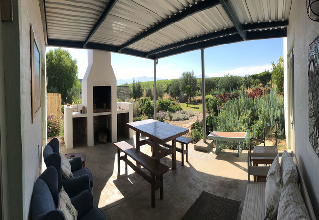
Moreson Manor
Moreson Manor is a Victorian Guesthouse offering two self catering flatlets. Only a stones throw form the village square, you are close to a numb...

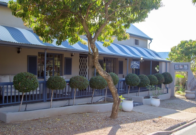
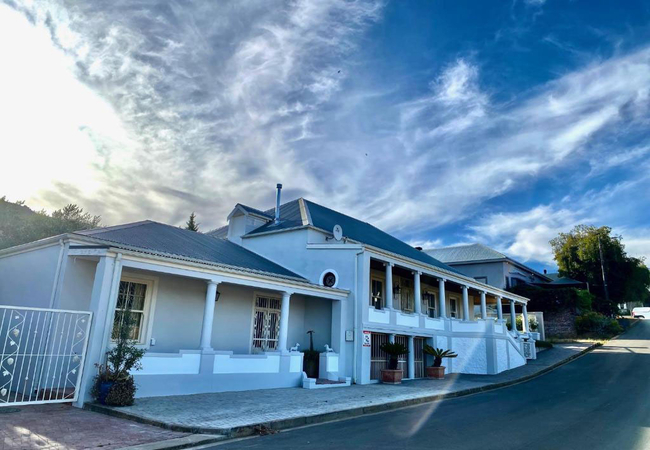
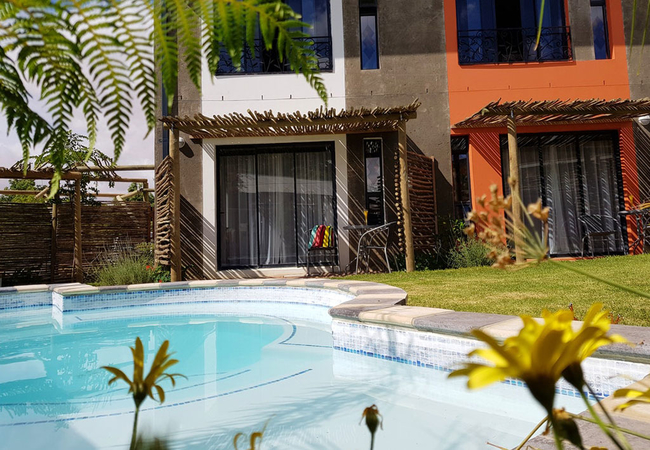
Red Tin Roof
Red Tin Roof is one of the grand old dames of the valley; a 100-and-something year old manor house that guards Riebeek Kasteel's south eastern en...
Shades of Provence
Shades of the Valley is situated in the heart of Riebek Kasteel where you can enjoy the countryside, peace, tranquility and clear skies where you...
Absolute Castillo
Only an hour from Cape Town, Absolute Castillo is a guest house in Riebeek-Kasteel offering accommodation with NG Church Riebeek-Kasteel reachabl...
Things to do in the area - see all in Swartland
Browse at Aitsa
Pop in at Aitsa which sells a wonderful selection of homemade jams, honey, rusks and preserves. This sweet little shop also stocks beautiful cus...
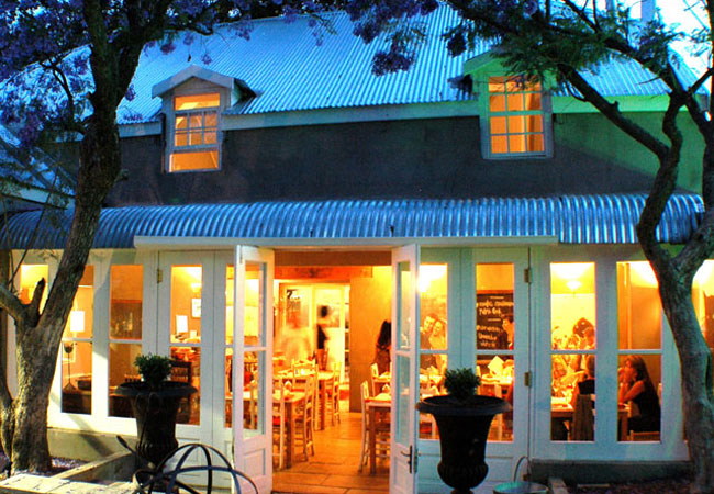
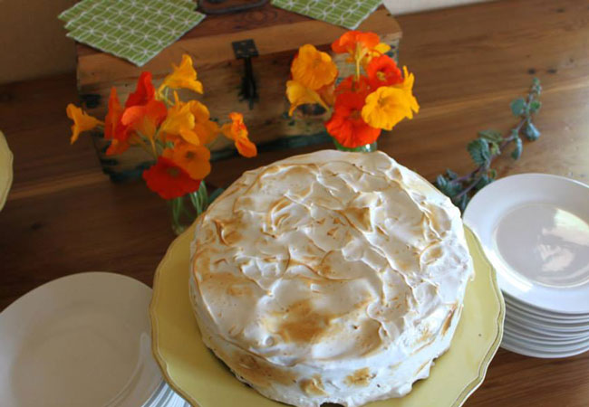
Café Felix
Café Felix is a popular restaurant in the picturesque Riebeek Valley. The original food concept was based on the popular Olympia Café & Deli in K...

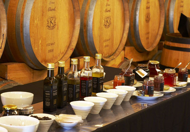
Wine Tasting at Het Vlock Casteel
When in Riebeek Kasteel, visit the home of award winning wines and olives at Het Vlock Casteel and take part in wine tasting, olive oil tasting a...
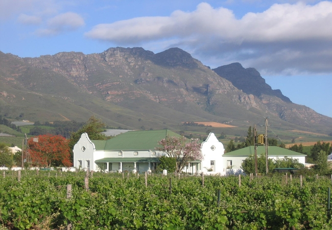
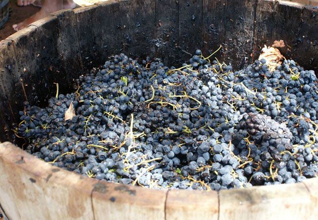
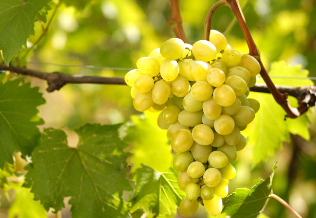
Kloovenburg Wine Estate
Energy and enthusiasm, purpose and vision. The Du Toits of Kloovenburg have these - by the barrelful. Enough to achieve the high standards they h...
Game Drive at Bartholomeus Klip
Morning game drives are available in the 10 000 acre Bartholomeus Klip Hermon Private Nature Reserve. There are many animals here, easily seen i...
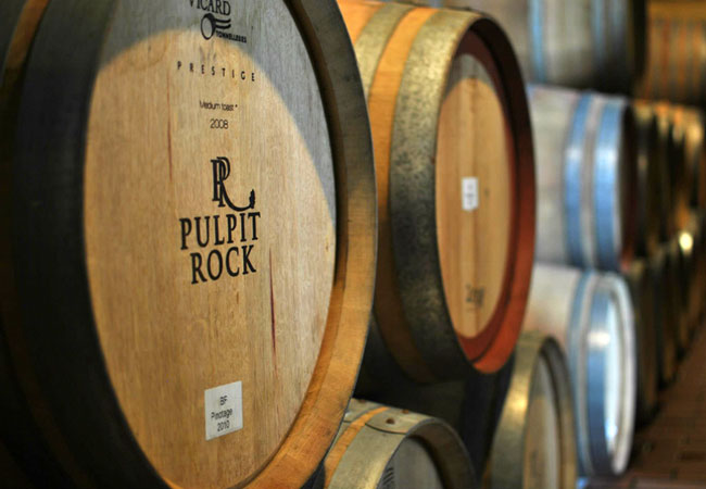
Pulpit Rock Winery
In 1918 Grandpa Brink was offered a job as winemaker of Groot Constantia which he declined as wasnt the right time and the family longed to make...
Riebeek Cellars
Up against the slopes of Kasteelberg in the arms of the Riebeek Valley is Riebeek Cellar. With a Mediterranean typical of the Western Coast and f...
Meerhof Wines
In 1751, Meerhof Winery and Cellar began. Youll find it on the Wynkeldershoek Farm in the Swartland. The Swartland gets its name from the indige...
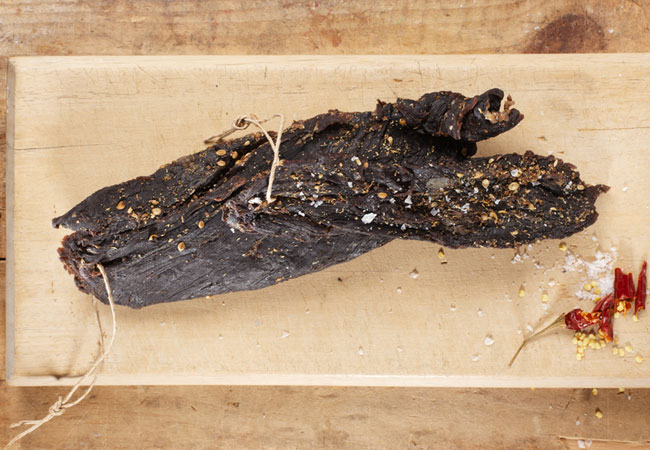
Du Vlei Farm Stall
The Du Vlei farmstall and restaurant is situated between Riebeek Kasteel and Hermon on the R46.Breakfast and lunch are served daily from 08h00 un...
Noteworthy attractions - see all in Swartland
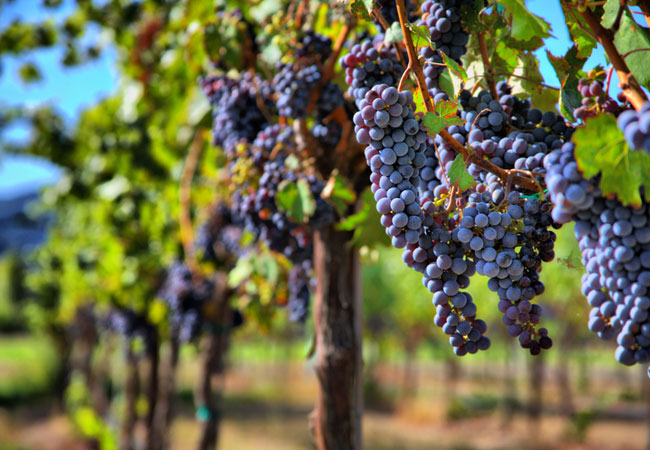
Swartland Wine Route
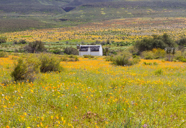
Meaning black country and named after the indigenous Renosterbos, which turns a dark colour at a certain time of the year, the wine route exten...
Dasklip Pass
Near the town of Porterville you will find Dasklip Pass, famous for its launching pad for experienced hang-gliders. Local paragliding championshi...
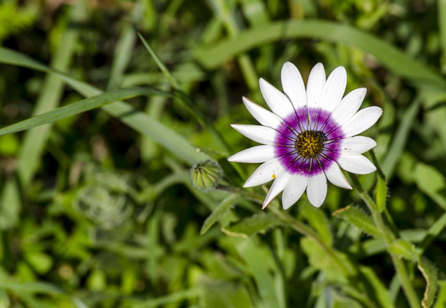
Renosterveld Reserve
Situated in the village of Darling, the Renosterveld Reserve, which you will find at the top of the village on a hill just behind the Darling Pri...
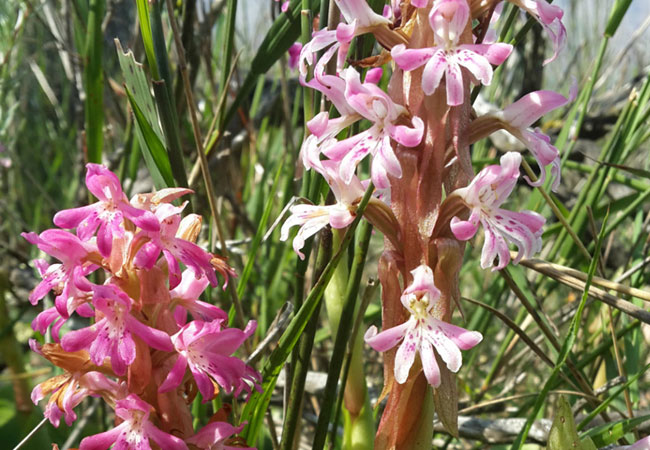
Tienie Versveld Reserve
The Tienie Versveld Reserve lies just outside Darling en route to Yzerfontein, part of a farm that was donated to the National Botanical Society ...
Berg River Region
North of the Berg River lie the little towns of Piketberg, Porterville, Wittewater, Goedverwacht, Veddrif, Aurora, Eendekuil and Redelinghuys. Kn...
Bartholomeus Klip Renosterveld Reserve
On Bartholomeus Klip's grassy plains you will find wild animals in one of the last spaces, so close to a city, that still allows for game to free...
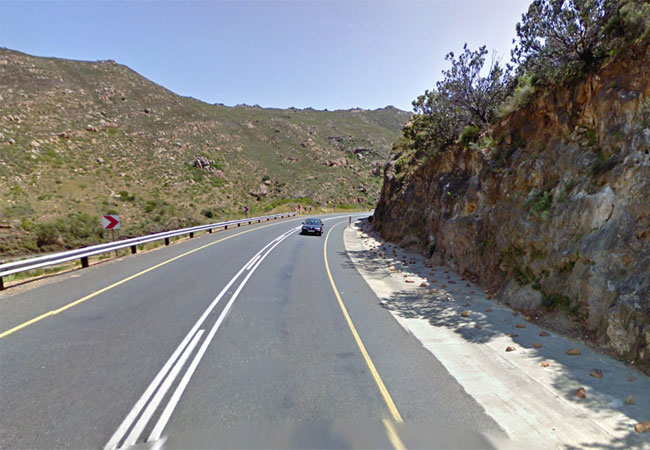
Bothmaskloof Pass
Bothmaskloof Pass connects the towns of Malmesbury and Riebeeck Kasteel on the R46. Sometimes also known as Bothmanskloof, the pass takes one ove...
Nuwekloof Pass
The Nuwekloof Pass connects the town of Tulbagh with Riebeek-Kasteel and Wellington. Historically it has been called the Oudekloof, Tulbaghkloof ...
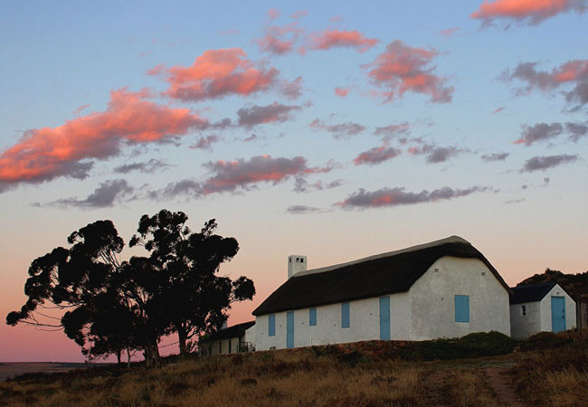
Verlorenvlei Heritage Settlement
What was once a thriving little hamlet on the shores of Verlorenvlei (40 buildings or ruins were still in evidence in 1992) is only a few survivi...
Find accommodation in Riebeek Kasteel
FIND / South Africa Accommodation / Western Cape Accommodation / Cape Town Accommodation / Swartland Accommodation / Riebeek Kasteel Accommodation
Riebeek Kasteel as a destination
Why book with SA-Venues.com
- Your card is safe with us; strictest card verification in the industry and we don't store card numbers.
- No airy fairy service fees; you save!
- We care. Service with integrity.
- Multiple payment methods:
credit card, SID instant EFT, bank transfer. - All Riebeek Kasteel property owners / managers are verified (our experience protects you from online fraud).
- Secure your booking
Maps
Destination Riebeek Kasteel
- By type in Riebeek Kasteel
- Riebeek Kasteel Accommodation
- Riebeek Kasteel Hotels
- Riebeek Kasteel Guest Houses
- Riebeek Kasteel Bed & Breakfast
- Riebeek Kasteel Self Catering
- & Holiday Apartments & Suites
- & Holiday Cottages & Chalets
- & Holiday Homes & Villas
- Riebeek Kasteel Weddings
- Riebeek Kasteel Honeymoons
- Destinations near Riebeek Kasteel
- Hermon, Koringberg, Malmesbury, Moorreesburg, Piketberg, Porterville, Riebeek West
- Resources for tourists
- About Riebeek Kasteel
- Things To Do
- Attractions
- Reviews