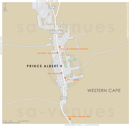
Map of Prince Albert, Western Cape
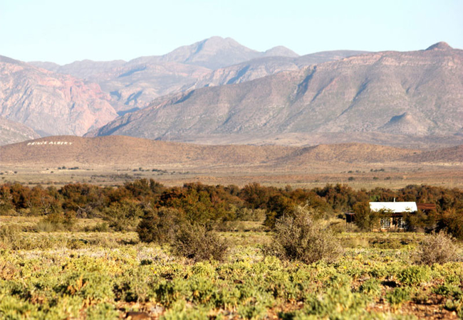
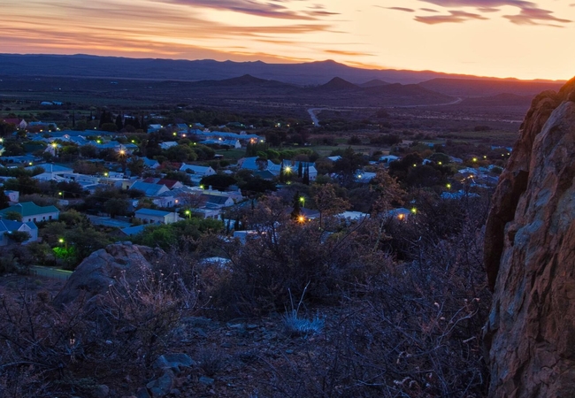
Prince Albert detail and street level map showing popular landmarks and attractions. Just 2 kms from the foot of the awesome Swartberg Pass, Prince Albert is the perfect base for exploring the wonders of the Swartberg including Gamkaskloof (The Hell) and Meiringspoort. To read out more about Prince Albert please see Prince Albert Information.
If you are interested in overnighting in the area, we can recommend some great accommodation options including hotels, guest houses and self-catering properties. If you're only planning on driving through Prince Albert, en-route to another destination, you may want to peruse our Prince Albert Restaurants before you leave to see if you should plan a stop here for lunch or maybe just a coffee. Also check out Prince Albert Things To Do to see if there are any activities for which you would consider stopping.
Maps of the Western Cape
Provincial Maps
Street Level Maps
Western Cape Regions
Special Interests by Map
In the vicinity
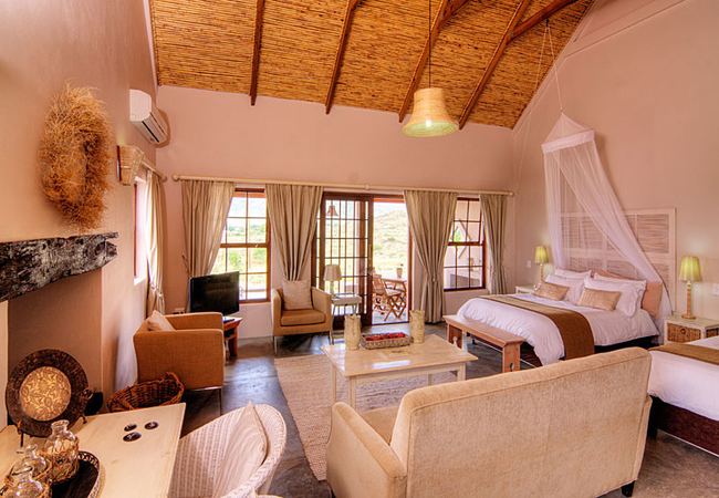
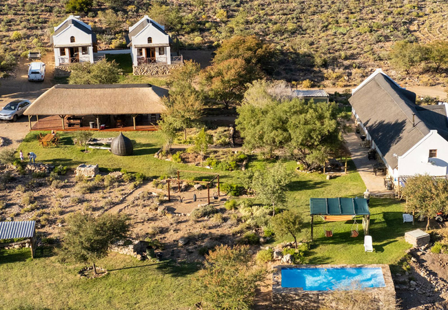
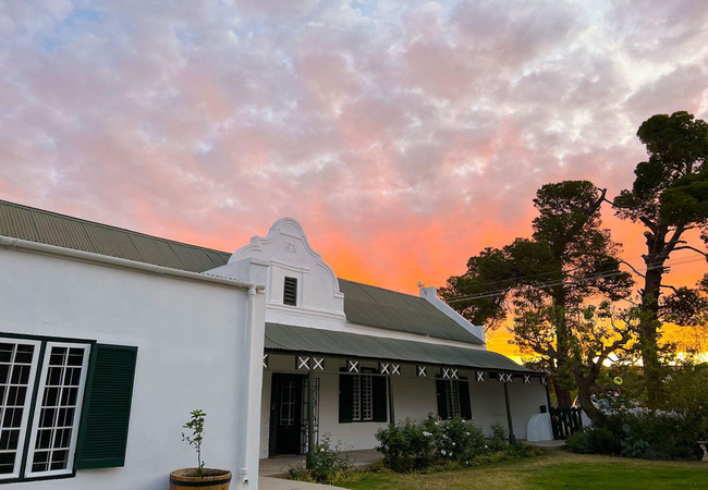
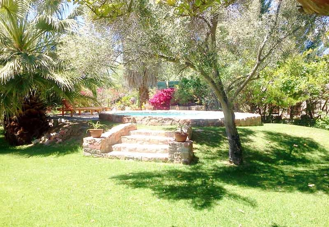
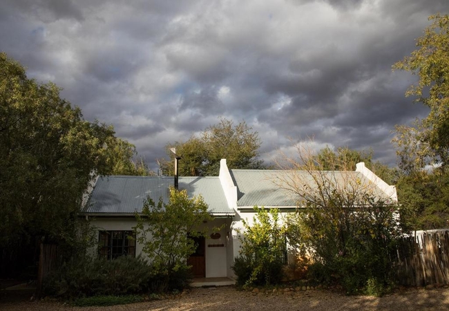
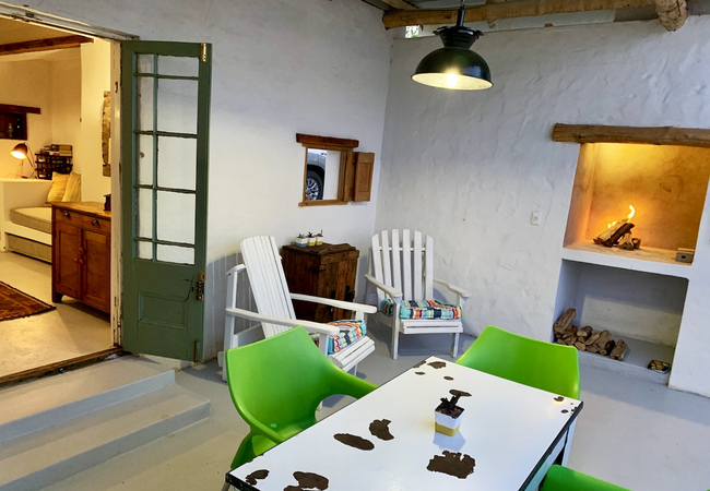
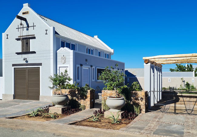
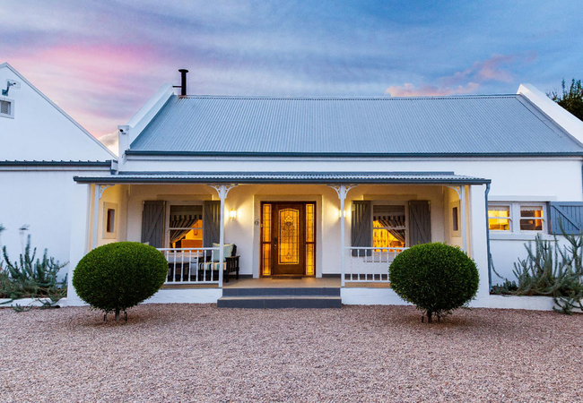
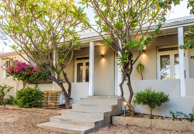
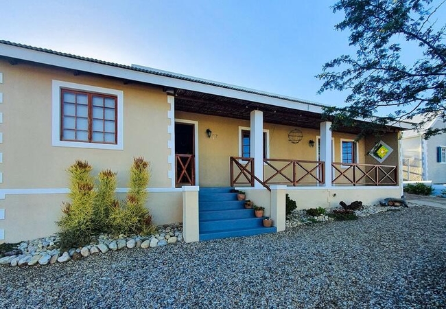
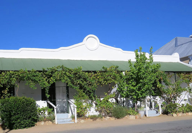
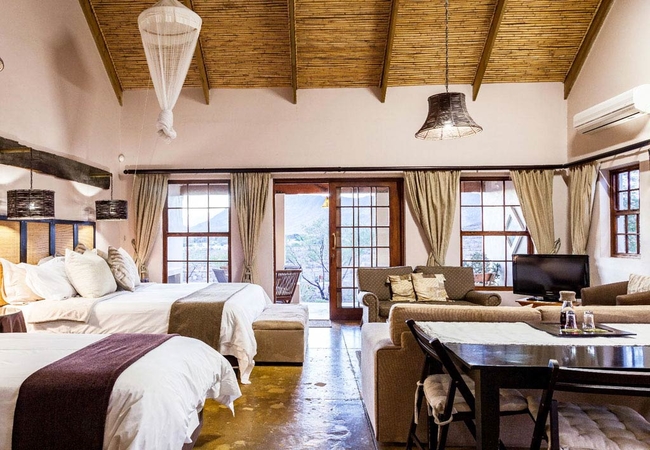
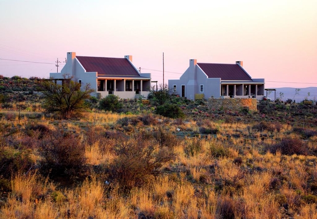
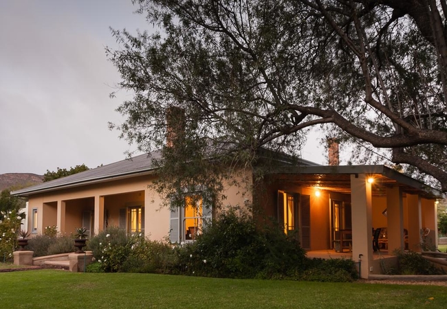
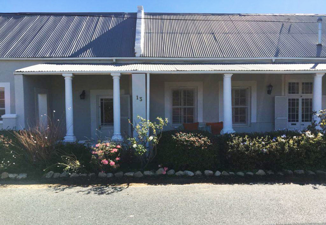
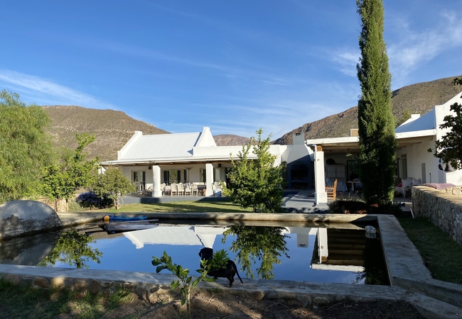
Hotels & other accommodation options
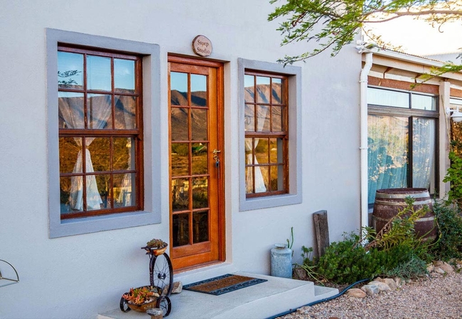
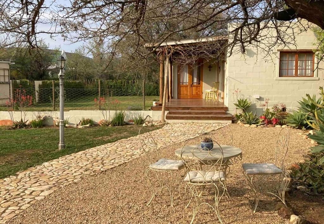
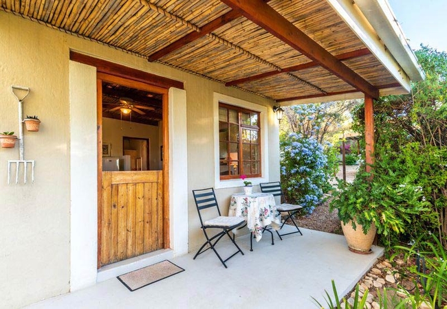
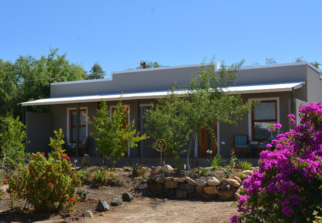
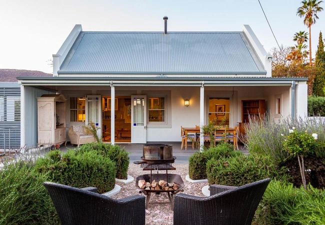
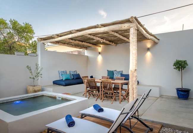
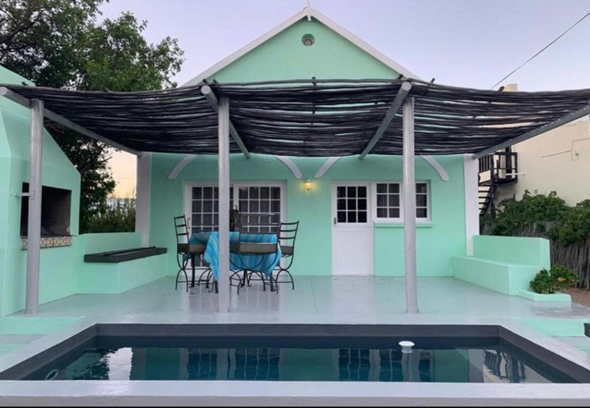
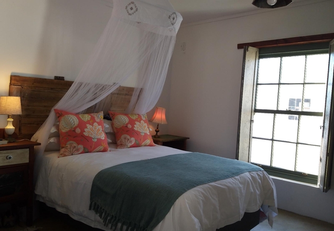
Stoep Suite
Stoep Suite at Karoo View Cottages offers Prince Albert Accommodation in a Karoo Styled cottage which is beautifully furnished with your home fro...
Windpomp Cottage
Windpomp Holiday Cottage in Prince Albert is decorated in cool shades with the original Glenwood delux woodburning stove to ensure warm cosy nigh...
Karoo Rust
Situated in Prince Albert, Karoo Rust has four units that accommodate a total of 10 guests. Here you are able to visit many attractions such as f...
Karoo Feels
Karoo Feels has two en-suite bedrooms. One bedroom is furnished with a Queen-size bed and the other with a double bed. There is a lovely sun deck...
Elfen Cottage
Elfen Cottage offers accommodation in Prince Albert. The cottage are within walking distance to shops, restaurants and the nearby Koppie Trail wi...
Karoo Khaya
Set on a small holding within town of Prince Albert, Karoo Khaya is a relaxing home away from home offering accommodation on either a self cateri...
Wolvekraal Guest House
Wolvekraal Guest House and farm invites you to experience the calmness, and silence of the wonderful Great Karoo, where time seems to stand still...
Kanon Cottage
Kanon Cottage offers accommodation in Prince Albert in a Karoo Styled cottage overlooking our natural indigenous gardens. If you are dreaming of ...
Bushman Valley
Offering accommodation in cottages nestled just south of Prince Albert and stretching all the way up to Eerstewater in the Swartberg Mountains, i...

Mustard Cottage
Mustard Cottage offers Karoo self catering at Yellow House on a working almond and citrus farm in Prince Albert. This gem is one of the rare "dor...
Prince Albert Cottage
Prince Albert Cottage has two en-suite bedrooms. There is an open plan kitchen, lounge and dining area with a wood burning fire for Winter evenin...
Saxe-Coburg Lodge
True Karoo hospitality and personal service awaits guests at Saxe-Coburg Lodge. A spacious Karoo Victorian home offering a self-catering cottage ...
Olive Thrush Cottage
Olive Thrush Cottage has one bedroom furnished with an extra-length King-size bed and two extra length single beds. The bathroom has a large show...
Rooster Cottage
Rooster Cottage offers luxurious accommodation in Prince Albert with breathtaking sunsets, beautiful sun-rises and clear starry nights. The bedro...
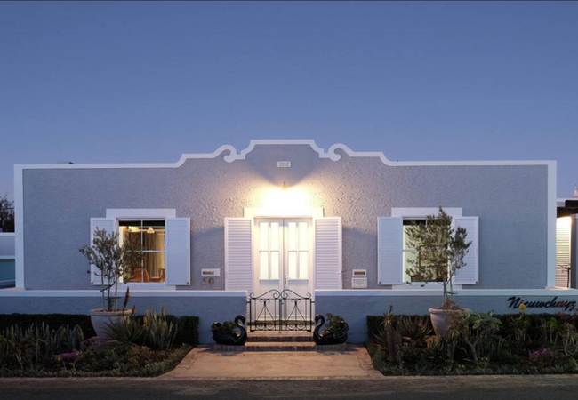
Nieuweschuur
Nieuweschuur is a fully contained self-catering Karoo-style barn with a luxury loft, holiday apartment. It is furnished with a King-size bed and ...
Karoo Masterclass House
Karoo Masterclass House offers accommodation in Prince Albert for eight guests, in a spacious home on the southern end of town. The house is with...
Aloe Cottage
Aloe Cottage offers accommodation in Prince Albert in a peaceful environment with wide open landscapes and spectacular views. Prince Albert is th...
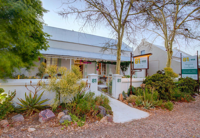
81 on Church Guest House
81 on Church Guest House is a comfortable 19th century home offers accommodation in the tranquil village of Prince Albert, an ideal place to sit ...
Casa Milorca
Casa Milorca is a 19th-century, owner-run guest house offering accommodation in the historic heart of Prince Albert. The guest house features thr...
Onse Rus Guest House
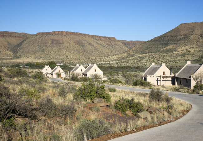
Nestled at the foot of the majestic Swartberg Mountains is the quiet and serene village of Prince Albert, here, time is suspended in the dry cris...

Roam Private Game Reserve
Roam Safari Lodge offers its visitors accommodation with a touch of country luxury in the heart of the arid Karoo region. The lodge has panoramic...

Lavender Cottage
Lavender Cottage is located on a working almond and citrus farm in Prince Albert. This gem is one of the rare "dorpsplase" a farm with a street...
Travellers Rest
Travellers Rest offers accommodation in Prince Albert. We offer one twin room and three double rooms. All four of our en-suite garden rooms have ...
Brakdakkie Guest Cottages
Brakdakkie Guest Cottages offers four private cottages for accommodation in Prince Albert. Brakdakkie pioneered the unique decor style of old wor...
59 Mark Street
This pretty Victorian two-bedroom (accommodates 4) holiday cottage with its central but private location and picturesque views over the village i...
Mirtehof Guest Farm Estate
Situated in Prince Albert, Mirtehof Guest Farm Estate provides luxury accommodation and is perfect for a Karoo honeymoon, a rejuvenating break fr...
Swartberg Cottages
Swartberg Cottages offers affordable overnight accommodation in the quaint town of Prince Albert. We invite you to visit and experience the peace...
Meerkat Cottage
Meerkat Cottage is almost 200 years old. This little jewel is a traditional Karoo-style "Brakdak" which means it still has it's original bamboo c...
Die Letterhuis
Die Letterhuis is located on a farm 36km from Prince Albert and offers comfortable accommodation In two holiday homes. On the koppie next to the ...
Olive Grove Cottage
Olive Grove Cottage is a self-catering cottage set in the grounds of Olive Grove House in Prince Albert. The cottage is centrally located and wit...
Karoo Masterclass Cottage
Karoo Masterclass Cottage offers accommodation in Prince Albert in the quiet southern end of town. The cottage is within easy reach of shops, res...
Noem-Noem & Granaat Cottage
Noem-Noem & Granaat Cottage is a Karoo self catering cottage situated in the heart of Prince Albert where guests can experience the vast open exp...
Olive Grove Pip
Olive Grove Pip is a self-catering studio set in the grounds of Olive Grove House in Prince Albert. The accommodation is centrally located and wi...

Akkedis Cottage
Akkedis Cottage is a self-catering cottage located in the Karoo town of Prince Albert. Guests enjoy luxury accommodation and discover the culinar...
Lemon Tree Cottage
Situated in the beautiful town of Prince Albert in the Karoo, Lemon Tree Cottage is situated within a few metres from a variety of shops and rest...
Elfen House
Elfen House offers accommodation in Prince Albert that is within walking distance of shops restaurants and the nearby Koppie Trail with wonderful...
Elfen House and Cottage
Elfen House and Cottage is a luxury restored Karoo-style house and separate cottage situated in the town of Prince Albert. The House and Cottage ...
Koppie Cottage
Koppie Cottage is a tastefully furnished cottage offering self catering in Prince Albert. The accommodation is set in a private garden and is per...

Borrie Cottage
Borrie Cottage offers Karoo self catering at Yellow House in Prince Albert. A working almond and citrus farm, this gem is one of the rare "dorpsp...

Deurdrift Cottages
Deurdrift Cottages are set in the Karoo town of Prince Albert, South Africa. Guests enjoy luxury accommodation and discover the culinary pulse of...
Krans Cottage
Krans Cottage offers accommodation in Prince Albert with all your "home from home" comforts overlooking the village of Prince Albert 350m away. I...
Bid Huisie Cottage
Bid Huisie's modified cottage interior offers homely accommodation for people seeking quiet, yet still wanting to be within walking distance to e...
Olive Cottage
Olive Cottage is spacious (sleeps two adults and one child). The antique bedroom is furnished with a double bed. There is an open plan living are...
Market Street
Situated in the beautiful town of Prince Albert in the Karoo, Market Street is situated within a few metres from a variety of shops and restauran...

Ferox Cottage
Ferox Cottage in Prince Albert is a Karoo-styled cottage which is beautifully furnished with home from home comforts. The cottage has large windo...

Nieuwerust
Nieuwerust is a fully contained self-catering Karoo-style holiday home with three bedrooms with en-suite bathrooms. The enclosed courtyard outsid...
57 Mark Street
57 Mark Street offers accommodation in a semi detached home in Prince Albert, for six people in three bedrooms. Two of the bedrooms have double b...
Striata Cottage
Striata Cottage offers accommodation in Prince Albert that overlooks a natural indigenous garden. If you are dreaming of wide open vistas, specta...
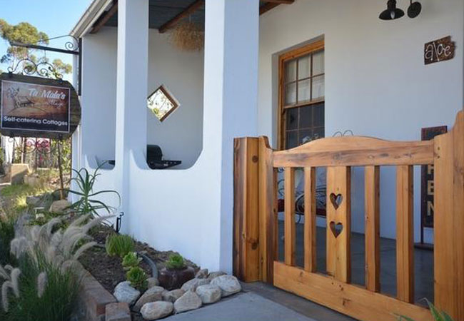
Ta Mala's Cottage
Ta Mala's Cottage provides luxurious accommodation in Prince Albert. Ta Mala's Cottage offers superb self catering accommodation in three separat...


Doringbos Cottage
Doringbos Cottage is a just a 5-minute drive away from the centre of town. Guests can choose to eat at the African Relish Chef's Café or buy prov...
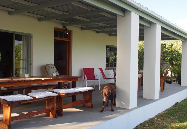
Karoo View Cottages
Experience magnificent 360º views of the majestic Swartberg to the south and the Karoo plains to the north. Wake up to the sun rising through the...
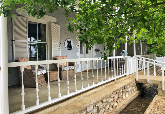
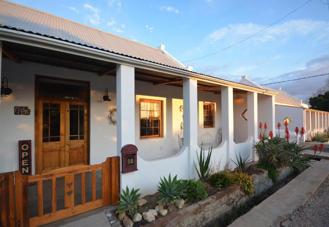
At 85 on Church
Central to restaurants, shops, art galleries and other attractions, At 85 on Church is a spacious, charming house set in a large garden with a sw...

Honey Cottage
Honey Cottage is located at Yellow House in the town of Prince Albert. This is a working almond and citrus farm, this gem is one of the rare "dor...
Nieuwehuyz
Nieuwehuyz is a fully contained self-catering Karoo-style holiday house in Prince Albert, a town nestled at the foot of the Swartberg Mountain ri...
Lemon Tree Guesthouse
Situated in the beautiful town of Prince Albert in the Karoo, Lemon Tree Guesthouse is situated within a few metres from a variety of shops and r...
The Olive House
The Olive House offers self catering accommodation in Prince Albert. Here time is not historical. The sky is a song of stars. The wind is solitar...

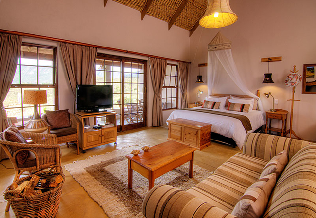
Karoo Lodge
Karoo Lodge offers accommodation in beautifully furnished suites each with a private entrance - 3 double en-suite rooms and 1 family unit - in th...
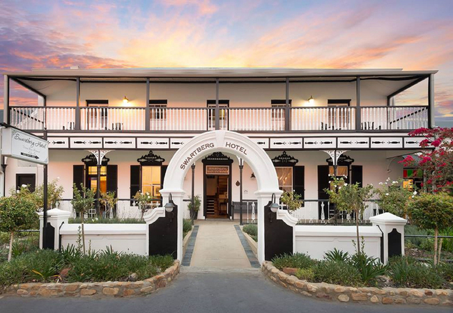
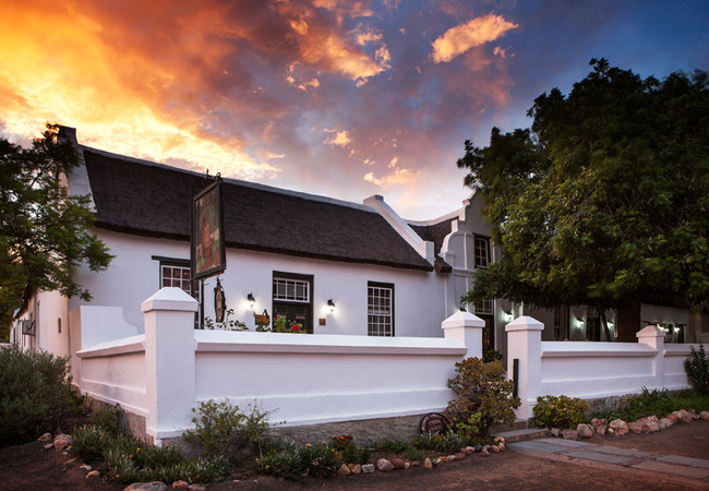
Mont d'Or Swartberg Hotel
Mont d'Or Swartberg Hotel offers stunning accommodation in the heart of this tranquil Karoo village. This is a great place for a relaxing getaway...
Things to do in the area - see all in Karoo
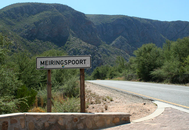
Self Drive Oudtshoorn to Meiringspoort
Route: Oudtshoorn, Swartberg Pass, Prince Albert, Meiringspoort, De RustDescription: Follow the road that winds along the banks of the Groot Rive...
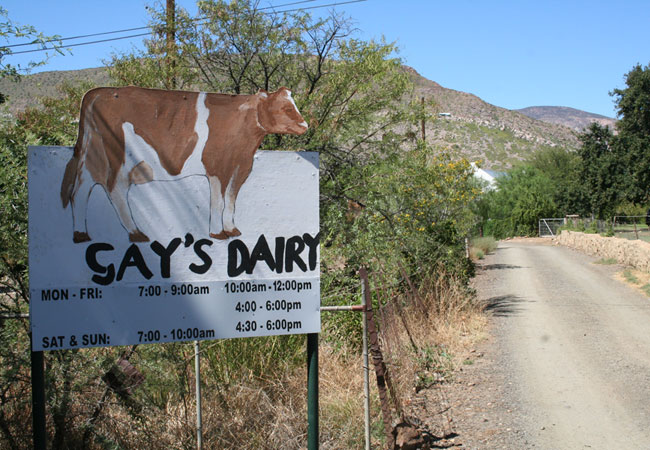
Cheese Tour at Gay's Dairy
Visit Gay's Guernsey Dairy in the little town of Prince Albert in the Karoo for an interesting look at dairy farming. Gay's Guernsey Dairy team ...

Astro Tour in Prince Albert
If you are spending time in Prince Albert, why not try something different and book a star gazing tour with Astro Tours. Hans and Tilanie Daehne ...
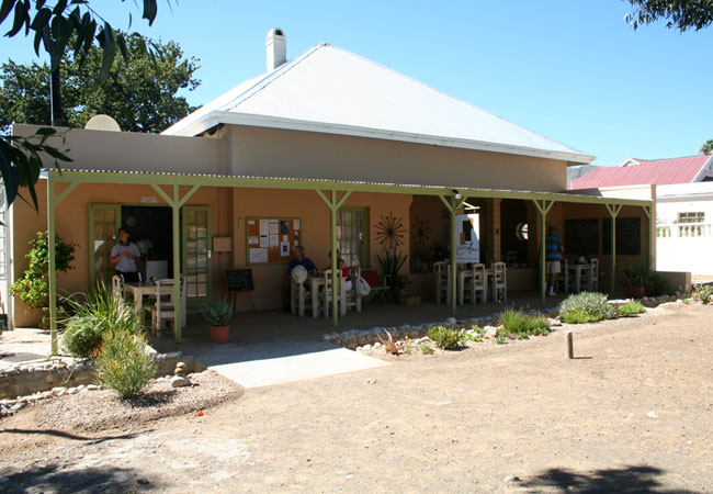
Breakfast at Café Albert
Come and sit on our verandah, listen to the water gurgling past in the water furrow, watch the passers-by and tune into Prince Albert 's friendly...
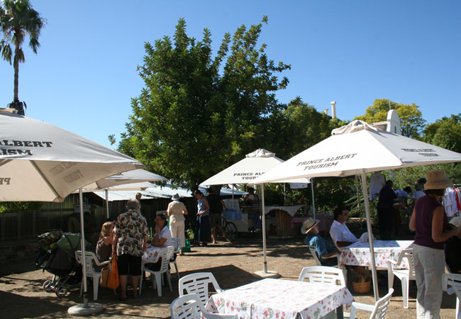
Prince Albert Farmers Market
The Prince Albert Market was resurrected in 1998 and has been a Saturday morning favourite since then. The market takes place on the square next ...
Prince Albert Ghost Walk
If you are visiting Prince Albert and want to do something a bit different, why not join Ailsa Tudhope for a 60 minute pre-dinner walk around the...
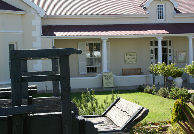
Fransie Pienaar Museum
Fransie Pienaar was born in 1897 in Prince Albert and left after school to study music at Sullivan College in Cape Town. After marrying and retu...
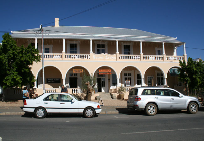
Prince Albert Art Gallery
The Art Gallery is located in Seven Arches, the gracious Victorian building opposite the Fransie Pienaar Museum in Prince Albert. This unique Art...
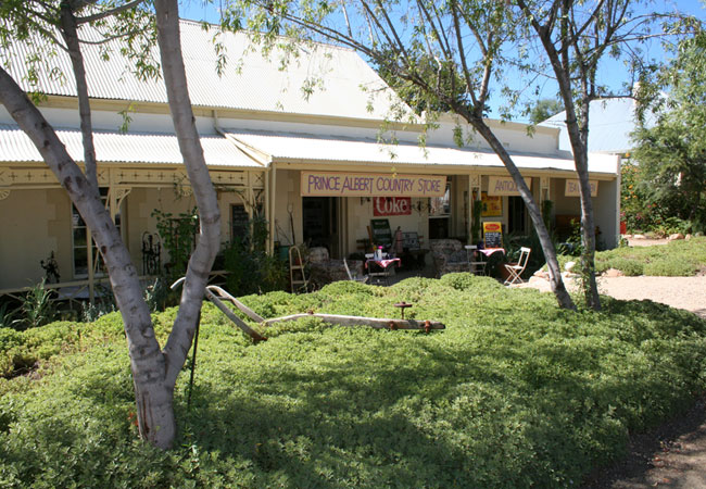
Prince Albert Country Store
The Prince Albert Country Store at 46 Church Street stocks wonderful vintage and antique items and owners William and Colleen invite you to spend...
Noteworthy attractions - see all in Karoo
Anysberg Nature Reserve
In the heart of the Cape Fold Mountains, the natural abundance of the Anysberg Nature Reserve is situated in the Little Karoo of the Western Cape...
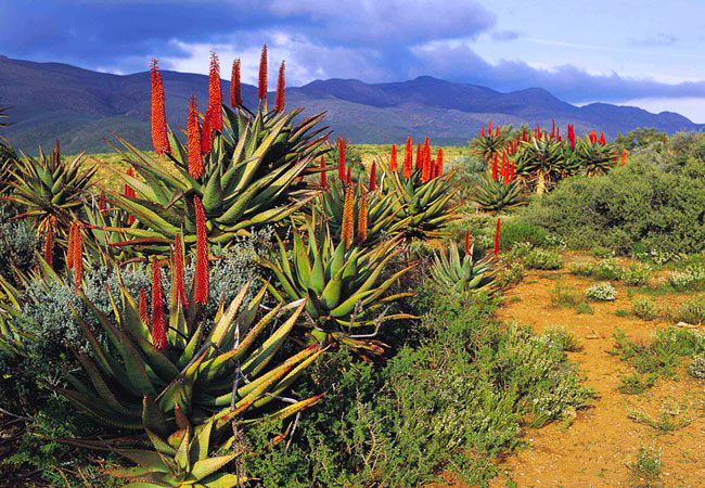
Karoo Desert National Botanical Garden
In Roux Road on the outskirts of Worcester, some 120 kilometres from Cape Town, lies a unique gem of a garden - the only truly succulent garden i...
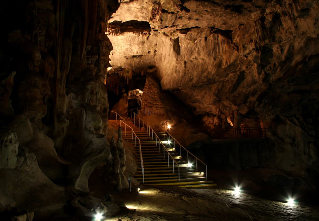
Cango Caves
Almost 30 kilometres outside of Outshoorn in the Klein Karoo, and certainly one of the main reasons for placing this little town on your itinerar...
Karoo National Park
The Karoo National Park is situated close to the N1 highway between Cape Town and the hinterland, approximately 1000 km south of Johannesburg and...
Gamkaberg Nature Reserve
Lying in the Little Karoo is the remote Gamka mountain range, isolated because of the conduit of the Gouritz River that slices between the Gamkab...
Kammanassie Nature Reserve
Lying in the Little Karoo between the Swartberg and Outeniqua Mountains, lies an inselberg or monadnock - an isolated hill or small mountain that...
Sanbona Wildlife Reserve
At the foot of the Warmwaterberg, in the heart of the Little Karoo, between Montagu and Barrydale on the famous Route 62, the vision of the San i...
Swartberg Nature Reserve
The Swartberg Nature Reserve lies in the Oudtshoorn district between the Great Karoo and Little Karoo, bordered by the Gamka River in the west an...
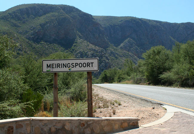
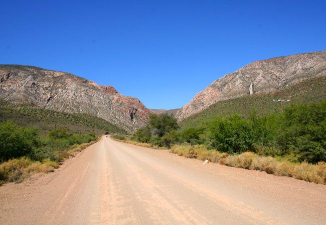
Meiringspoort
The towering sandstone cliff walls and breathtaking rock formations of Meiringspoort lie on the N12 between Beaufort West and Oudtshoorn. The poo...
Find accommodation in Prince Albert
FIND / South Africa Accommodation / Western Cape Accommodation / Cape Town Accommodation / Karoo Accommodation / Prince Albert Accommodation
Prince Albert as a destination
Why book with SA-Venues.com
- Your card is safe with us; strictest card verification in the industry and we don't store card numbers.
- No airy fairy service fees; you save!
- We care. Service with integrity.
- Multiple payment methods:
credit card, SID instant EFT, bank transfer. - All Prince Albert property owners / managers are verified (our experience protects you from online fraud).
- Secure your booking
Maps
Destination Prince Albert
- By type in Prince Albert
- Prince Albert Accommodation
- Prince Albert Hotels
- Prince Albert Guest Houses
- Prince Albert Bed & Breakfast
- Prince Albert Self Catering
- & Holiday Apartments & Suites
- & Holiday Cottages & Chalets
- & Holiday Homes & Villas
- Prince Albert Conferences
- Prince Albert Honeymoons
- Destinations near Prince Albert
- Barrydale, Beaufort West, Calitzdorp, De Doorns, De Rust, De Vlugt, Herold, Klaarstroom, Ladismith, Laingsburg, Matjiesfontein, Murraysburg, Oudtshoorn, Sanbona, Touws River, Uniondale, Van Wyksdorp
- Resources for tourists
- About Prince Albert
- Things To Do
- Attractions
- Reviews