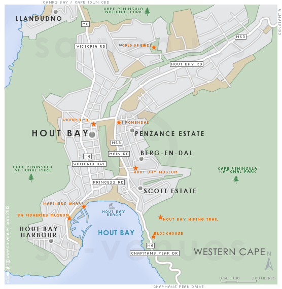
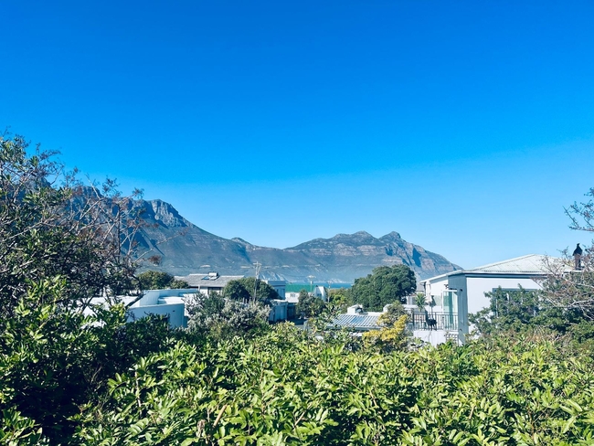
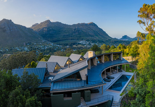
Map of Hout Bay, Cape Town
Hout Bay detail and street level map showing some attractions including the immensely popular Bird Sanctuary, the World of Birds. Hout Bay offers the visitor plenty of attractions including close proximity to the centre of about two and a half hours from Cape Town. The Hout Bay Harbour is a favourite with locals and the beach is worth a visit. To find out more about Hout Bay please see Things to Do in Hout Bay and visit Hout Bay Information.
If you are interested in overnighting in the area, we can recommend some great accommodation options including hotels, guest houses and self-catering properties. If you're only planning on driving through Hout Bay, en-route to another destination, you may want to peruse our Hout Bay Restaurants before you leave to see if you should plan a stop here for lunch or maybe just a coffee. Also check out Hout Bay Things To Do to see if there are any activities for which you would consider stopping.
Maps of the Western Cape
Provincial Maps
Street Level Maps
Western Cape Regions
Special Interests by Map
In the vicinity
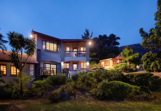
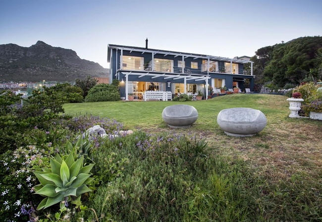
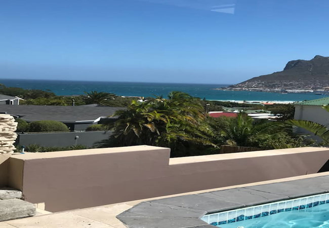
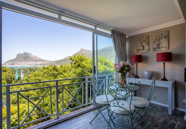
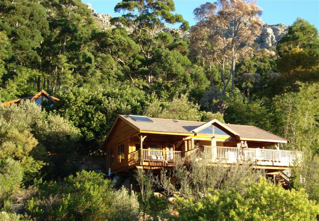
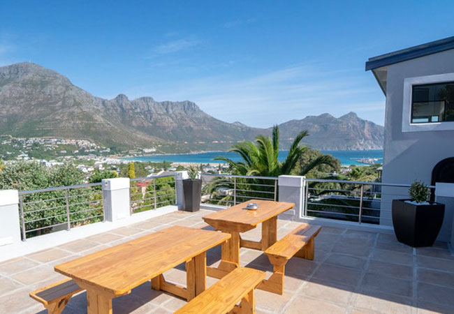
Hotels & other accommodation options
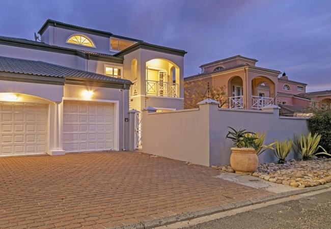
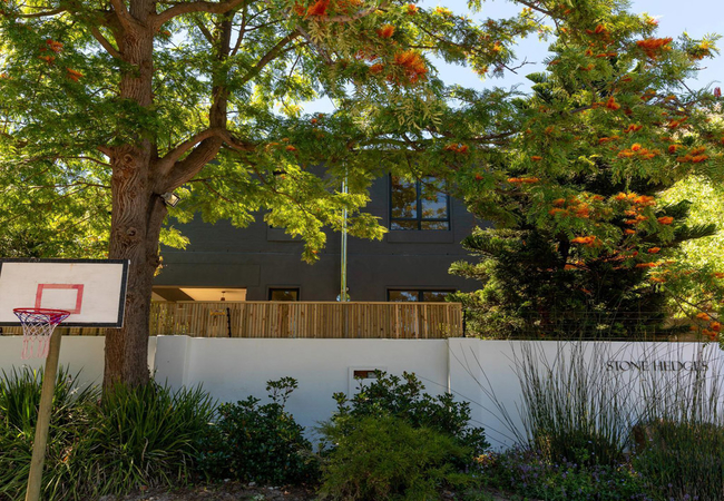
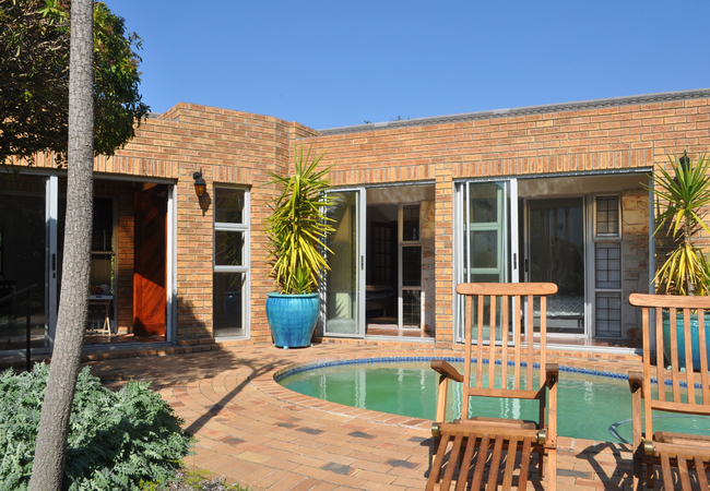
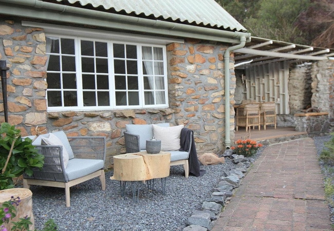
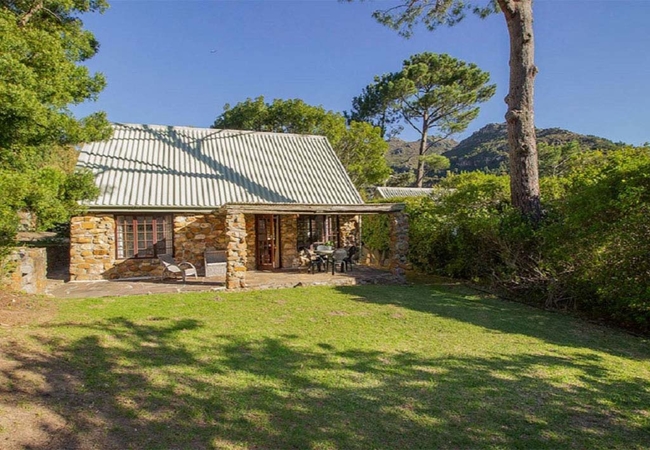
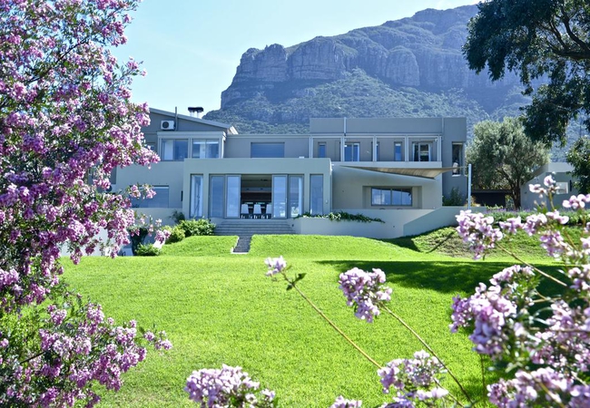
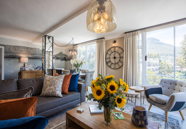
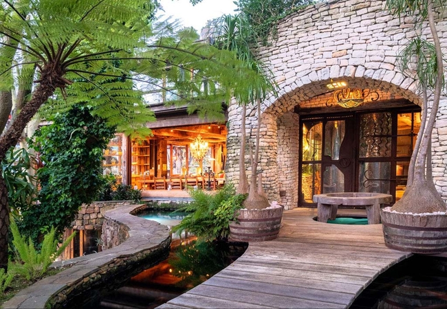
The Tarragon
The Tarragon offers comfortable accommodation set in over 8000 sqm of an exclusive and safe area of Hout Bay known as Tarragona. The cottages inc...
Kei Apple Cottage
Kei Apple Cottage offers Hout Bay accommodation with a wonderful view over the resort and the Twelve Apostles in the west. This serene and tranqu...
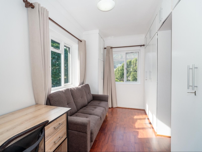
10 on Flora Close
10 on Flora Close is a private self-catering holiday apartment in Hout Bay located on the host's mountainside property with stunning views of Hou...
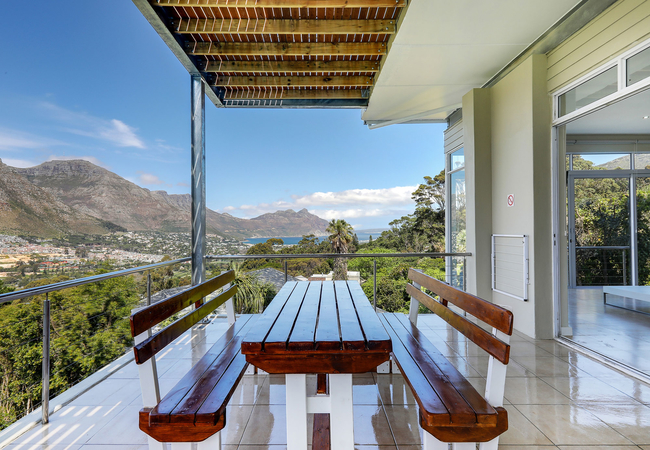
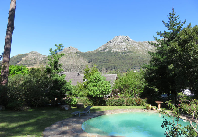
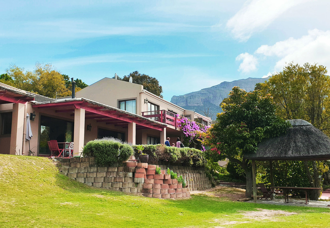
Victorskloof Lodge
Victorskloof Lodge offers luxury accommodation in Hout Bay. Choose from seven comfortable rooms, all offered on a bed & breakfast basis. Each roo...

Whittler's Lodge
Whittler's Lodge is situated on the wooded mountainside overlooking the tranquil Hout Bay valley. This peaceful neighbourhood is filled with the ...
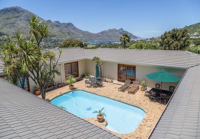
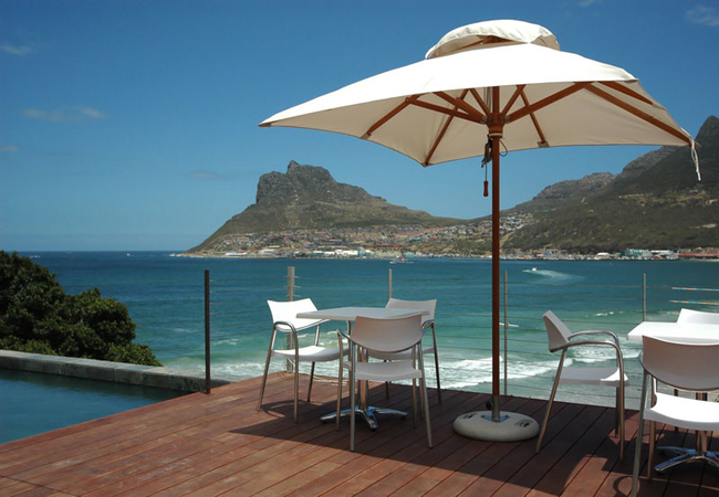
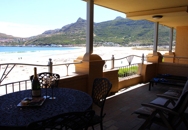
Poseidon Guest House
At Poseidon Guest House all the rooms have en suite bathrooms and magnificent views over Hout Bay and the harbour, across the bay to Chapman's Pe...
The Village 08
The Village 08 is situated in the seaside village of Hout Bay. This beachfront apartment provides accommodation for four guests. The complex boas...
Hout Bay Brightwater Lodge
Brightwater Lodge is a charming establishment offering accommodation in the heart of scenic Hout Bay, five minutes from the beach and harbour. Gu...
Villa De La Mer
Enjoy a luxurious stay at this unique Villa in Hout Bay surrounded by sea and mountain views throughout the home. Modern, spacious and a perfect ...
Hout Bay Lodge
Spectacular views of the ocean, the bay and the famous coastline of Chapmans Peak Drive. Surrounded by mountains and trees, it offers 6 individua...
Chez Victor
A fully equipped and self-contained, 1 bedroomed cottage set in the lush valley of Hout Bay. Surrounded by striking mountains and bordered by whi...
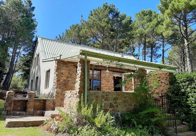
Oregon Pine Cottage
Oregon Pine Cottage offers accommodation in Hout Bay on the Houtkapperspoort Mountain Estate. This stunning three bedroom, character filled mount...
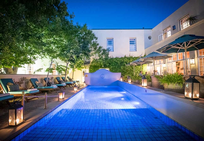
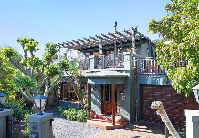
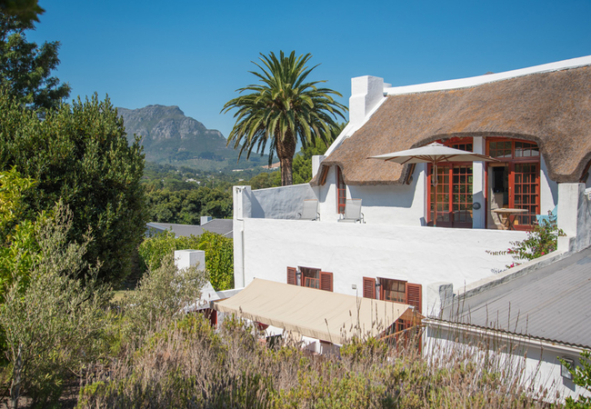
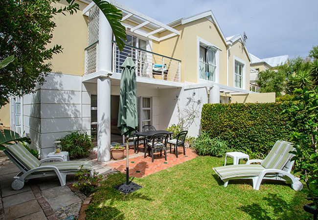
Hout Bay Manor
Hout Bay Manor, built in 1871, is renowned as one of Cape Town's most graceful landmarks. The beautifully restored Hout Bay Manor offers 19 indiv...
Chapmans Peak Hotel
Let the sound of the waves lapping against the shoreline be your first waking sound. Nestled at the foot of the picturesque Chapmans Peak Drive o...
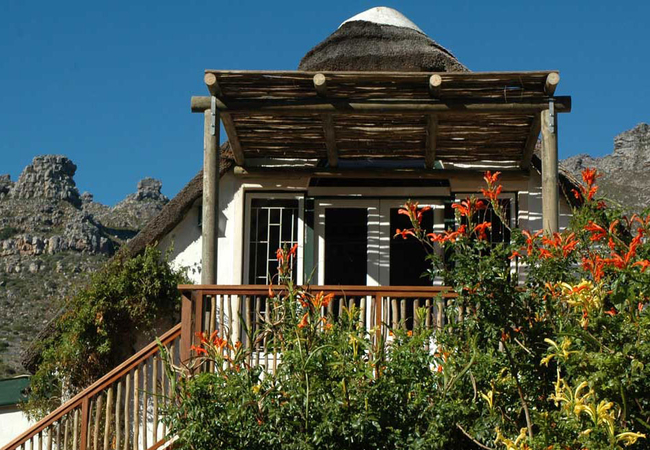
The Hout Bay Hideaway
The Hout Bay Hideaway is a small luxurious retreat set amongst yellowwoods, palms, wild olives and proteas and has stunning views of ocean, bay a...
The Gate House
The Gate House is a Cape Town self catering home, suitable for small families and/or corporate guests. With ample space inside and out to relax a...

Hout Bay Backpackers
Our Executive Double and Twin rooms all have stunning views of Chapman's Peak and Hout Bay, and all have a separate entrance and are detached fro...

Riverview 51
Riverview 51 is located in a secure, green, leafy complex in the popular area of Hout Bay. The accommodation is a short drive from all of Hout Ba...
Hout Bay Gem
Hout Bay Gem is a double storey guest house located in Hout Bay. This home offers self catering accommodation close to the World of Birds and a s...
Darling Villa
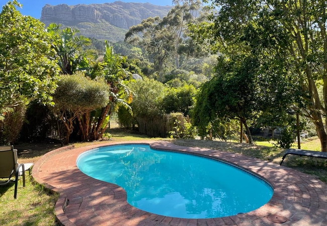
Darling Villa is a spacious and stylish four bedroom villa with excellent sea and mountain views and a large private garden with pool. Along with...
Bayview Mountain Sea-facing Cottages
Bayview Mountain Sea-facing Cottages are spacious self-catering cottages quietly nestled against the forest high above the seaside village of Hou...
Hout Bay Hilltop
Situated overlooking the Hout Bay Valley, Hout Bay Hilltop offers holiday accommodation for six guests. The central location of the accommodation...
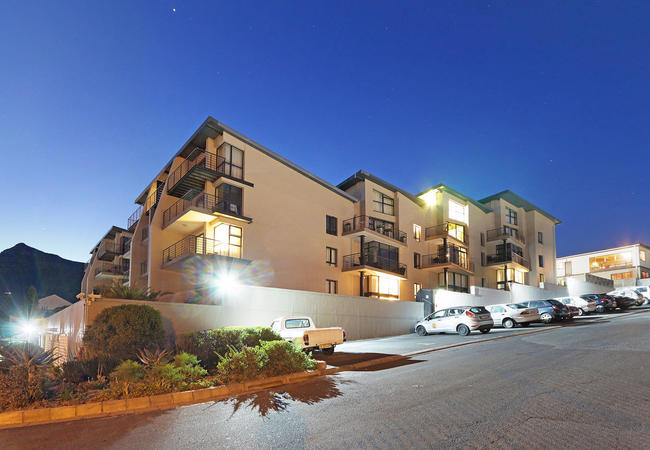
G Zero 3 @ The Breakers
G Zero 3 @ The Breakers offers comfortable accommodation in a tastefully furnished apartment situated in a secure residential complex in Hout Bay...
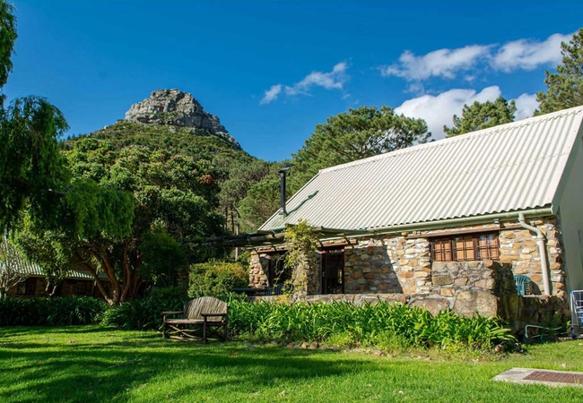
Kairos Lodge
Farm-style accommodation on the famous Disa River in the majestic mountains of Hout Bay yet close the the Cape's best amenities. Kairos is set on...
A Squirrels Nest
A Squirrels Nest is is a self-contained suite in Hout Bay that sleeps up to four people. The suite has a spacious wooden loft bedroom with a doub...

Hout Bay Breeze
Hout Bay Breeze offers comfortable accommodation on the hillside of Hout Bay. The guest house has two terraces that overlook the beach, sea, moun...
The Loft Apartment
The Loft provides accommodation in Hout Bay for a total of six guests. Located on the Atlantic Seaboard, Cape Town city centre is 21km away, Hou...

Villa Montebello
Exclusive luxury accommodation in Hout Bay, Cape Town, this very charming guest house located at the top of the Mount Rhodes, gives you calm, pri...

The Beach House Hout Bay
The Beach House provides accommodation in an ideal setting for relaxation and enjoyment. The picturesque views of the mountain visible from all r...
Mediterranean Style Beauty
Mediterranean Style Beauty is a house offering Hout Bay self catering on the side of the Valley that gets the sun all day. It is an open plan, li...
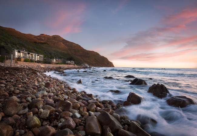
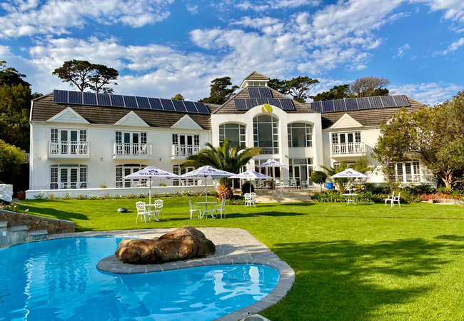
Tintswalo Atlantic
The Tintswalo Atlantic Luxury Boutique Hotel is located on the ocean in Hout Bay near Cape Town. This exclusive getaway nestles on the Chapman's ...
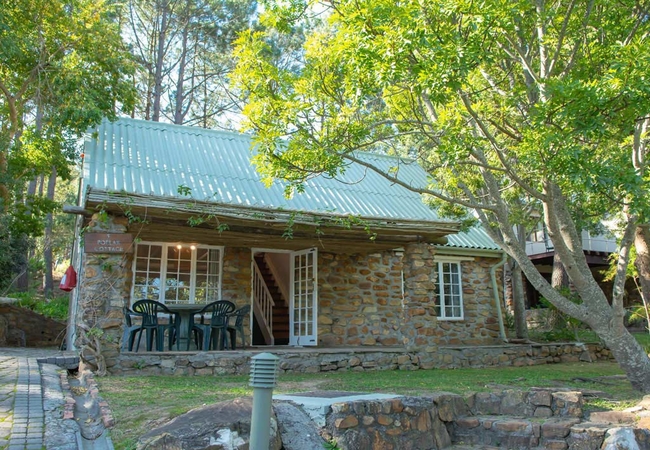
Poplar Cottage
Poplar Cottage has spectacular views of the gardens and offers comfortable Hout Bay accommodation on the Houtkapperspoort Estate. This location i...

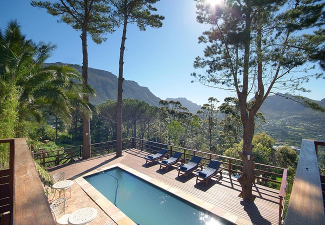
Seacliffe Lodge
Seacliffe Lodge is one of Hout Bay's few establishments located close to the sea, beach and harbour. Only 15 km's from Cape Town along the Atlant...
Villa Verte
Villa Verte is located at the Future Found Sanctuary elevated on the slopes of Table Mountain. The barefoot luxury, elemental design and selectio...
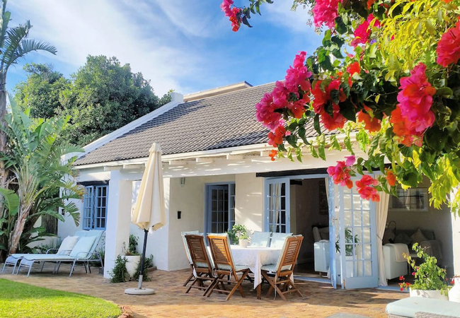
Cool Coral Tree Cottage
Cool Coral Tree Cottage offers Hout Bay accommodation in a serene and tranquil setting making it a popular choice for the discerning guest, looki...
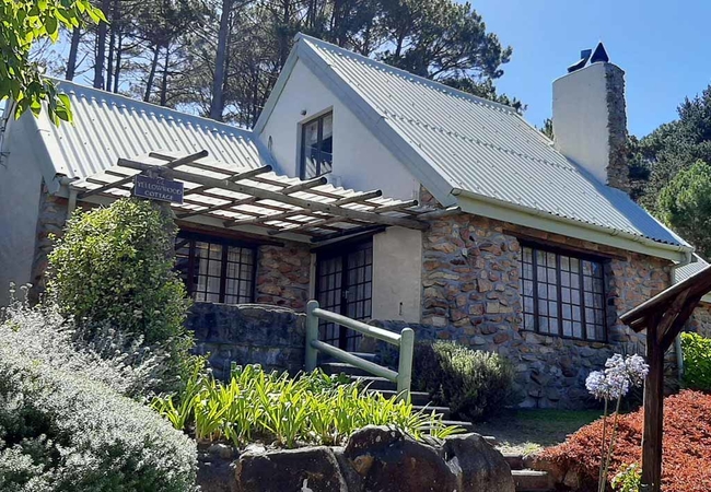
Yellow Wood Cottage
Yellow Wood Cottage holds position as one of the highest plots on the Estate and makes the most of its with its unparalleled views. Enjoy comfort...
Khoka Moya
Khoka Moya is a pretty two bedroom cottage offering accommodation in Hout Bay at the Houtkapperspoort Mountain Estate. Situated on the north side...
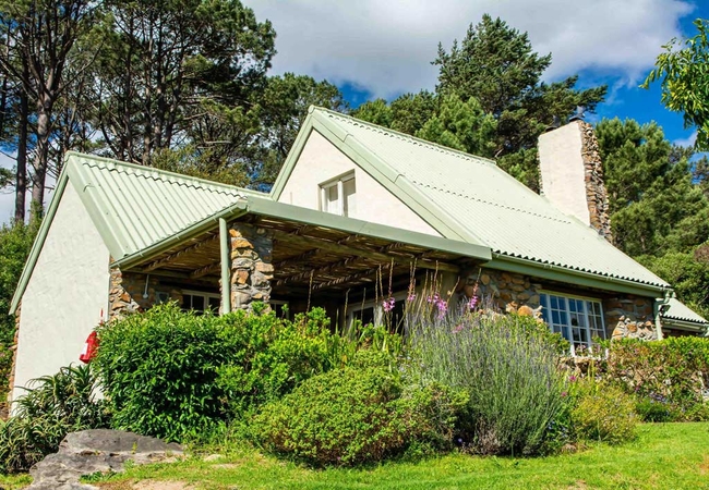
King Protea Cottage
King Protea Cottage offers Hout Bay accommodation on the north side of the property, with fantastic views over the valley. This location is on th...
Kronendal Heritage Country Estate
Kronendal-Heritage Country Estate is a stylish and traditional Estate in an unique landscape. Rest and recover in a relaxed atmosphere. Enjoy you...
Hout Bay View
Hout Bay View is sensationally positioned to offer breathtaking panoramic views across the table mountain range, the ocean and Chapman's Peak dri...
Weeping Willow Cottage
Weeping Willow cottage is picture postcard cute, a beautiful sandstone cottage offering Hout Bay accommodation in a serene and tranquil setting. ...
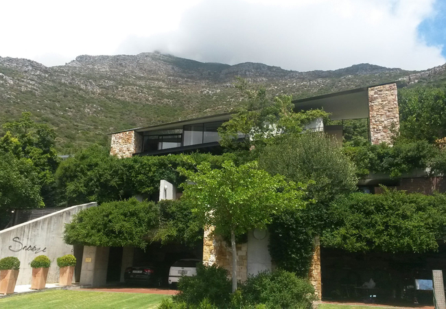
Snooze in Hout Bay
Situated within 1km of Chapmans Peak Drive, Snooze in Hout Bay is a unique artistic house nestled on the slopes of Constantiaberg. The guesthouse...
Maple Tree Cottage
Maple Tree Cottage offers Hout Bay accommodation with one of the best views across the estate. This serene and tranquil setting makes it a popula...
Chapman's Peak Bed and Breakfast
This luxurious, modern, family-run Bed and Breakfast is located in the heart of Hout Bay's breathtaking scenery. It only takes a stone's throw to...
Pure Guest House
Pure Guest House is a luxury design guest house with spectacular panoramic views onto Hout Bay, the village with its gardens, mountains, harbour ...
The Salt House
Established in August 2017, The Salt House is a family effort offering comfortable accommodation. We drew inspiration from the Himalayan salt cry...
Dreamhouse Guest House
Majestically perched above the Hout Bay Valley in Cape Town, Dreamhouse Guest House is a calm oasis from which to enjoy your stay in Cape Town. E...
Hout Bay Beach Cottage
Hout Bay Beach Cottage offers self catering accommodation in a free standing holiday house 100 meters away from the beach. The house sleeps six g...
11 Escape Views
11 Escape Views offers self catering accommodation in a semi detached house in Hout Bay, Cape Town. The house sleeps eight guests in four en-suit...
Hout Bay Harbour View
Hout Bay Harbour View is a spacious holiday apartment accommodating six guests and boasting beautiful views of Hout Bay. Set in a secure complex,...
Blackwood Log Cabin
A tranquil mountain retreat where the forest and mountains will re-awaken the soul. Blackwood Log Cabin is a self-catering log cabin that sleeps ...
Hout & About Guest House
Hout & About Guest House is located in Hout Bay and boasts Cape Town accommodation with the most stunning, panoramic views of the entire bay and ...
Vida Nova Retreat
Vida Nova Retreat is an eco-luxury high-tech hotel offering comfortable accommodation in Hout Bay, just a short trip from the bustling Cape Town ...
Princess Beach H4
Princess Beach H4 is offers accommodation on Princess Street in Hout Bay. This beautiful, ground floor apartment provides sleeps up to five guest...
The Village 26
The Village 26 offers accommodation just five minutes away from the famous Chapman's Peak Drive and within walking distance of the beach, restaur...
Blue Gum Cottage
Blue Gum Cottage offers Hout Bay accommodation with outstanding views from all the main rooms to Little Lion's Head and the surrounding mountains...
The Boardwalk
Offering accommodation in the Cape Town suburb of Hout Bay, The Boardwalk is a trendy, fully furnished apartment just a short stroll from the bea...
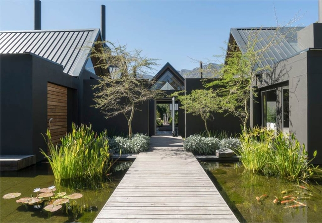
Future Found Maison Noir
Maison Noir is located at the Future Found Sanctuary on the slopes of Table Mountain. he barefoot luxury, elemental design and selections of loca...
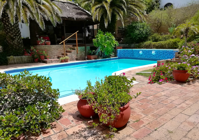
Karrad Guest Lodge
Karrad Guest Lodge is situated on a mountainside smallholding, amidst numerous fully grown pine trees and a lovely indigenous garden. It overlook...
Above & Beyond
Above & Beyond Holiday Apartment has two bedrooms. The first bedroom is furnished with a King-size bed and the second room has twin beds. Downsta...
Wonderland
Wonderland offers stunning and unique bed and breakfast accommodation located on the mountainside in Hout Bay. The guest house offers a comfortab...
Hout Bay Wellness
Hout Bay Wellness offers guests a choice of charming self-catering log cabins and lovely rooms for holiday accommodation in Hout Bay in Cape Town...
Bullrush Cottage
Situated within a secure, gated estate on the southern slopes of Table Mountain, Bullrush Cottage is a separate one bedroomed cottage furnished w...
Riverview Penthouse
Situated in the seaside village of Hout Bay, Riverview Penthouse offers accommodation for four guests. The apartment is just 500m from the Hout B...
Things to do in the area - see all in Atlantic Seaboard

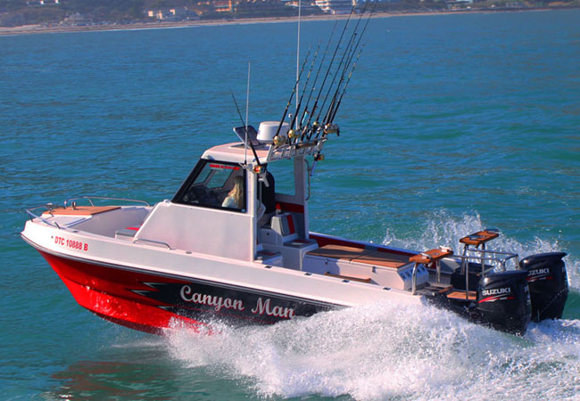
Hooked On Africa Fishing Charters
Why make your next Tuna sandwich from a can when the Cape has some of the richest Tuna waters in the world today? The local Yellowfin Tuna often ...
Offshore Tuna Charters
The shores of Cape Town are not only spectacularly beautiful, but are also fantastic for fishermen that crave a day on the open seas, preferably ...
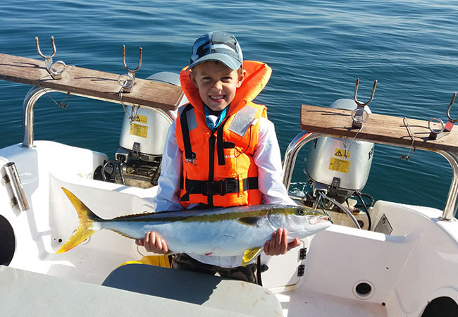
Inshore Yellowtail Charters
From the little coastal town of Hout Bay in Cape Town, fantastic fishing charter adventures can be enjoyed with Wild Ocean Fishing Charters. The ...

Cape Peninsula E-Bike Experience
Exploring a destination on a bicycle combines fun, fitness and a comfortable pace. Exploring Cape Town on an electric bike means even more fun an...
Ahoy! Mariner's Wharf
Mariner's Wharf meets the ocean at the end of Hout Bay beach. Built on a pier this habour front emporium brings to shore a seafood bistro, a mari...
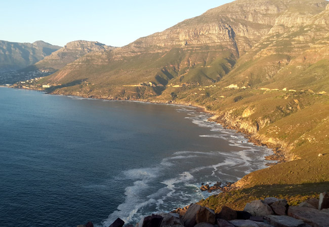
Drive Chapmans Peak
Chapman's Peak Drive is listed in the locations 'black book' of every photographer, film maker and dreamer worldwide. It is no doubt on the wish-...
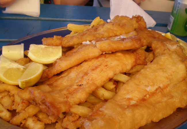
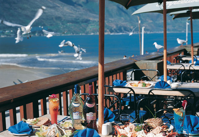
Enjoy Fish on the Rocks
Bikers on coastal runs, fisherman post catch, high society on sabbatical, locals on lunch and tourists upon recommendation enjoy good old fashion...
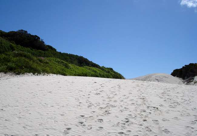
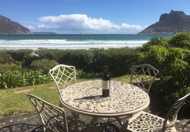
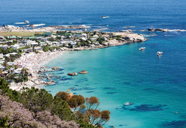
Hout Bay Beach
The cliffs of Chapman's Peak in Cape Town and the charm of Hout Bay Harbour are divided by the white powdery sands of Hout Bay Beach. Stretching ...
Hout Bay Lions Craft Market
The Hout Bay Craft Market is run by the Hout Bay Lions and is held on the Hout Bay Common between 10am and 4pm every Sunday. It's reputation as o...
Noteworthy attractions - see all in Atlantic Seaboard
Cape Town Beaches
The Mother City has some of the most beautiful beaches in the world and something to offer everyone. It is no surprise that South Africa was one ...
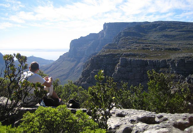
Table Mountain National Park
At the south-western tip of South Africa, the Table Mountain National Park encompasses the incredibly scenic Peninsula mountain chain stretching ...
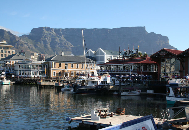
V&A Waterfront
One of Cape Town's biggest tourist attractions, the Waterfront evokes images of the early activities of the harbour. Much of its charm lies in th...
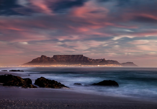
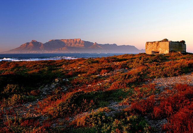
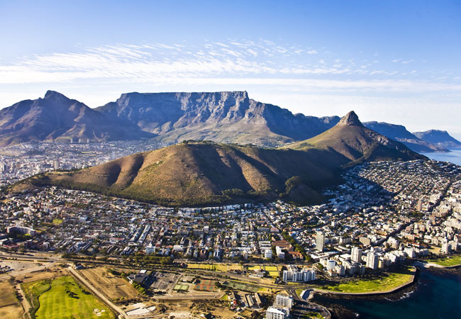
Table Mountain
Since the first person laid eyes on Table Mountain, it has exerted its powerful and charismatic pull, enchanting and drawing any and all who fall...
Robben Island
For nearly 400 years, Robben Island, 12 kilometres from Cape Town, was a place of banishment, exile, isolation and imprisonment. It was here at R...
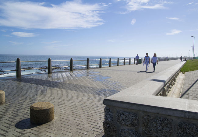
Sea Point Promenade
The promenade runs the length of Sea Points beachfront, from Bantry Bay to Mouille Point and is a hub of activity, particularly in the early mor...
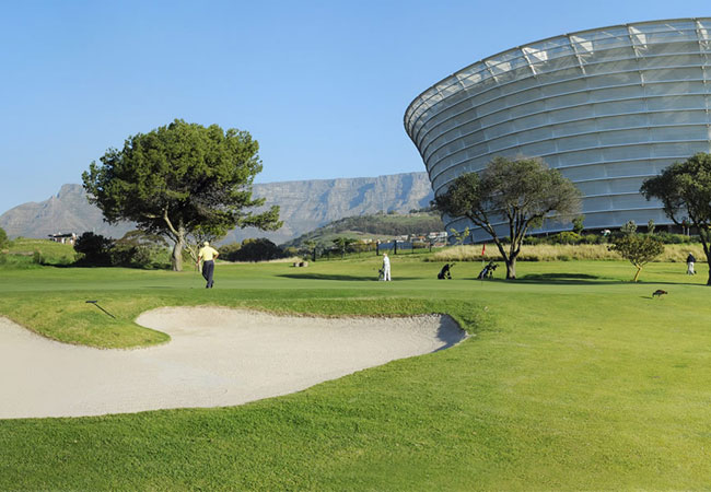
Metropolitan Golf Club
At Metropolitan Golf Club you enjoy your game in the most centrally situated green belt of Cape Town. Adjacent to the V&A Waterfront (5 minute wa...
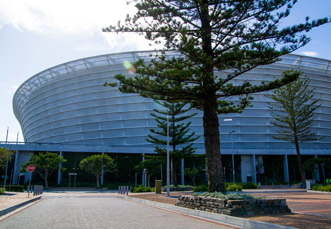
Green Point Stadium
During the 2010 FIFA World Cup event, the Cape Town Stadium was known as Green Point Stadium. However, it was renamed after the event. It was co...
Signal Hill
Signal Hill, which connects Kloof Nek to Lions Head, in the distinctive shape of a lions rump, is one of the most famous spots in Cape Town for...
Find accommodation in Hout Bay
FIND / South Africa Accommodation / Western Cape Accommodation / Cape Town Accommodation / Atlantic Seaboard Accommodation / Hout Bay Accommodation
Hout Bay as a destination
Why book with SA-Venues.com
- Your card is safe with us; strictest card verification in the industry and we don't store card numbers.
- No airy fairy service fees; you save!
- We care. Service with integrity.
- Multiple payment methods:
credit card, SID instant EFT, bank transfer. - All Hout Bay property owners / managers are verified (our experience protects you from online fraud).
- Secure your booking
Maps
Destination Hout Bay
- By type in Hout Bay
- Hout Bay Accommodation
- Hout Bay Hotels
- Hout Bay Guest Houses
- Hout Bay Bed & Breakfast
- Hout Bay Self Catering
- & Holiday Apartments & Suites
- & Holiday Cottages & Chalets
- & Holiday Homes & Villas
- Hout Bay Honeymoons
- Destinations near Hout Bay
- Bakoven, Bantry Bay, Camps Bay, Cape Point, Chapmans Peak, Clifton, Fresnaye, Granger Bay, Green Point, Kommetjie, Llandudno, Misty Cliffs, Mouille Point, Noordhoek, Oudekraal, Scarborough, Sea Point, Three Anchor Bay, V&A Waterfront
- Resources for tourists
- About Hout Bay
- Things To Do
- Attractions
- Reviews