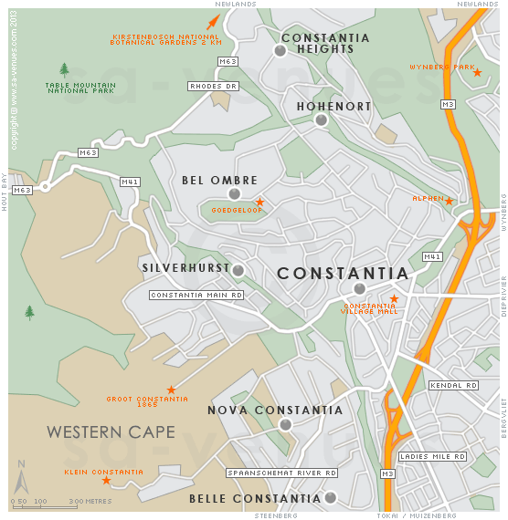
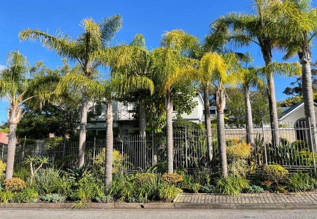
Map of Constantia, Cape Town
Constantia detail and street level map showing popular attractions including the Klein and Groot Constantia, and Constantia Village shopping centre. Many parts of Constantia lie bordering or close to the original vineyards that make up one of the Capes oldest wine routes. To read out more about Constantia please see Constantia Information.
If you are interested in overnighting in the area, we can recommend some great accommodation options including hotels, guest houses and self-catering properties. If you're only planning on driving through Constantia, en-route to another destination, you may want to peruse our Constantia Restaurants before you leave to see if you should plan a stop here for lunch or maybe just a coffee. Also check out Constantia Things To Do to see if there are any activities for which you would consider stopping.
Maps of the Western Cape
Provincial Maps
Street Level Maps
Western Cape Regions
Special Interests by Map
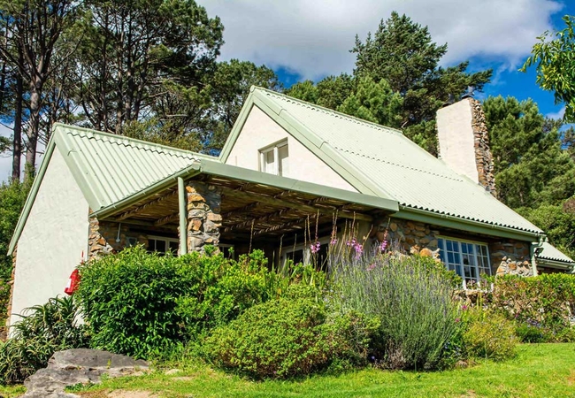
In the vicinity
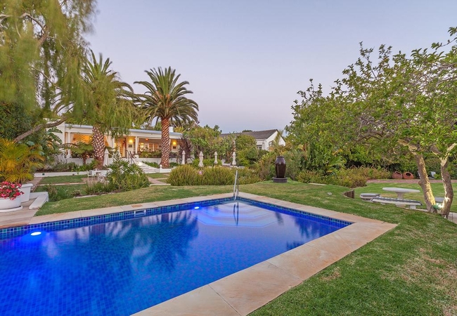
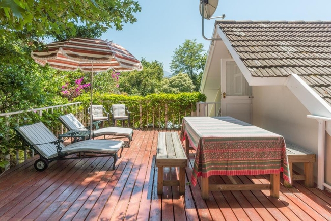
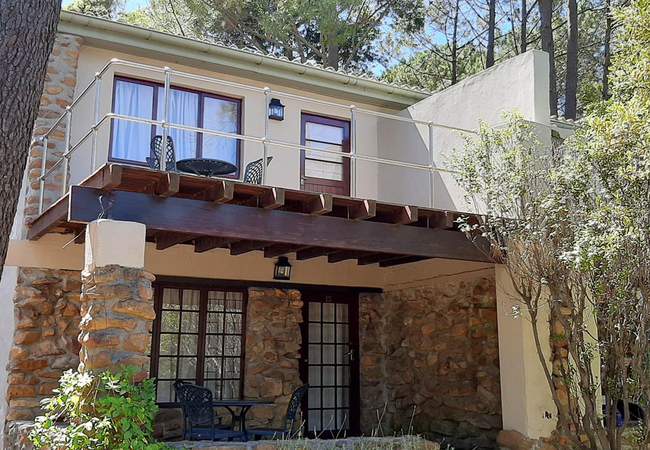
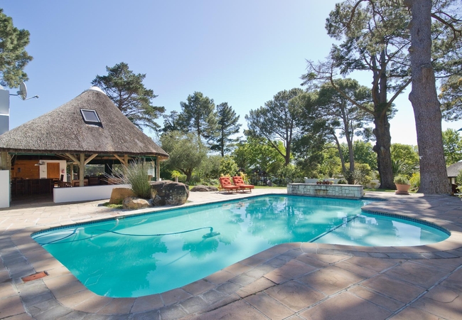
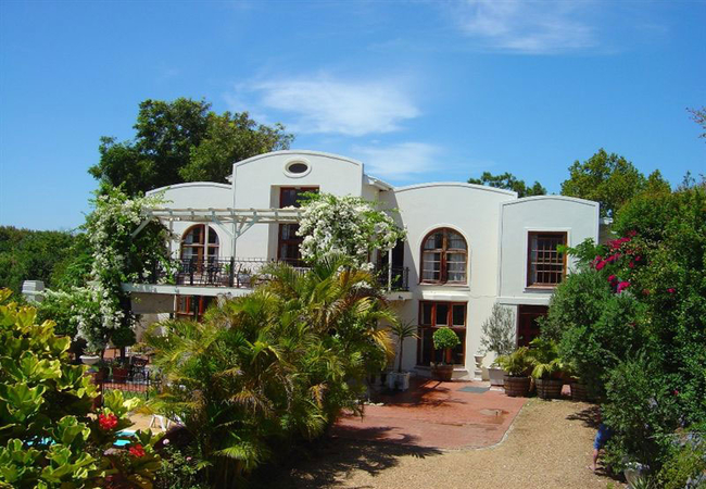
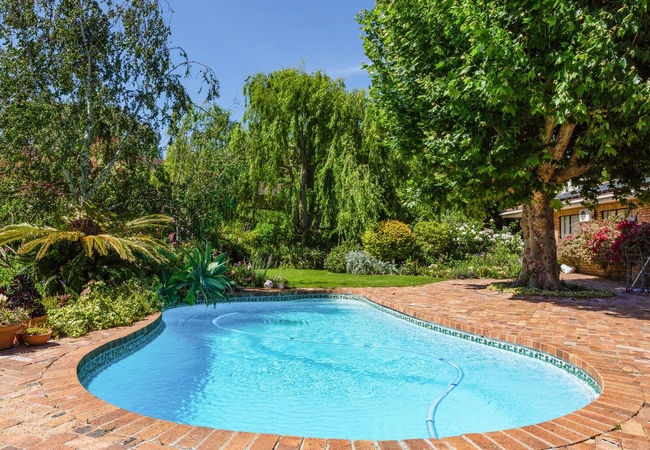
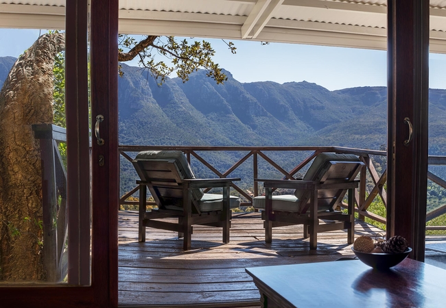
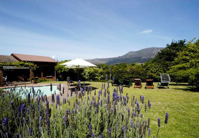
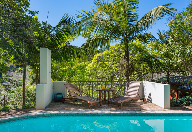
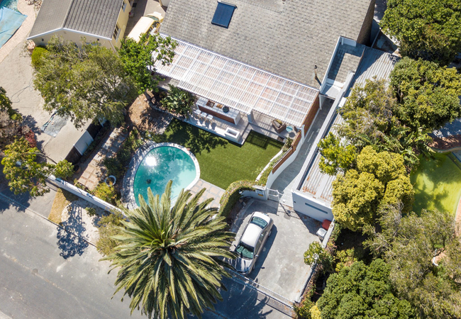
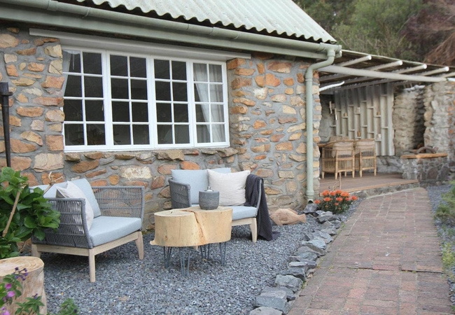
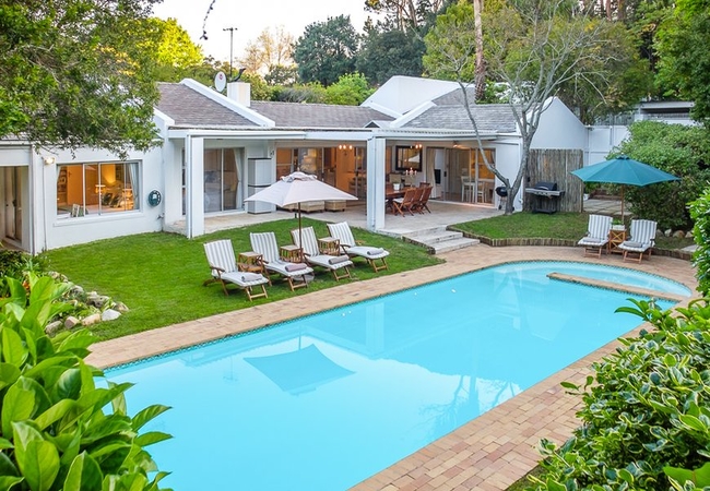
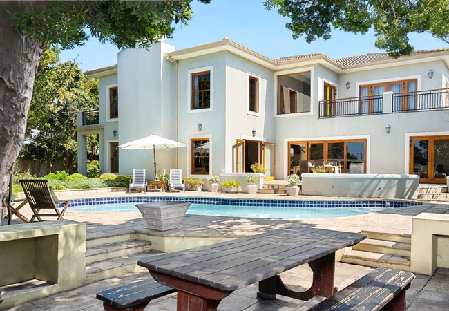
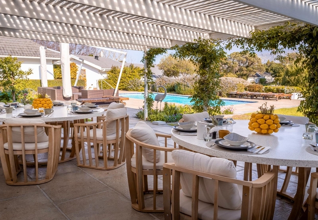
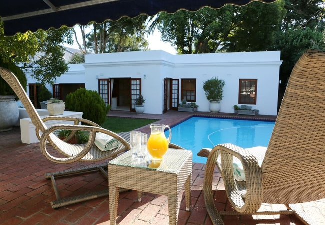
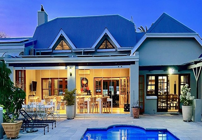
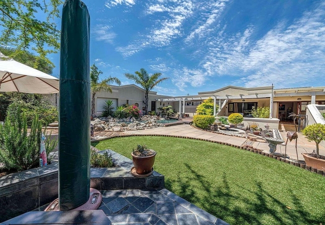
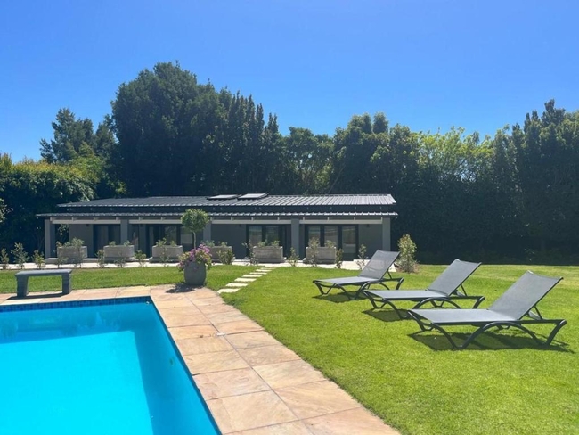
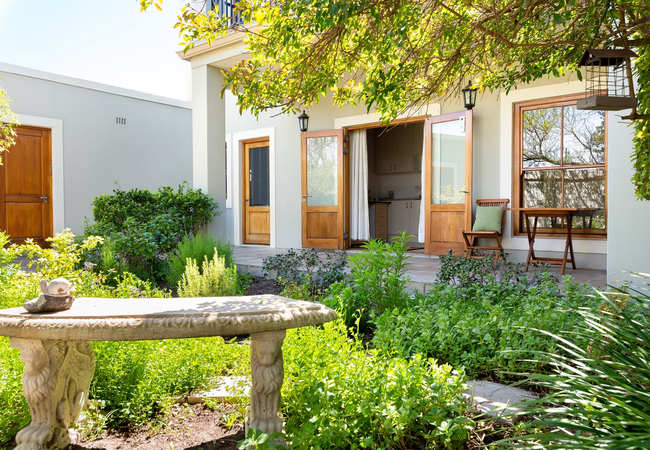
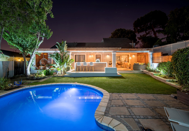
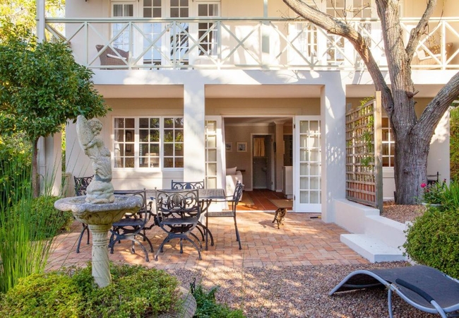
Hotels & other accommodation options
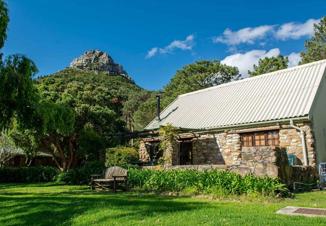
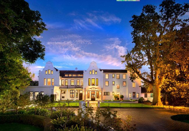
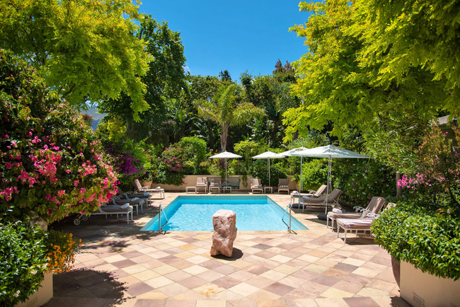
The Alphen Boutique Hotel & Spa
The Alphen Boutique Hotel & Spa is located in the heart of Constantia, a hotel rich in heritage and filled with modernity. As is required of all ...
Paradiso Guest House
Paradiso Guesthouse and self catering cottage set in a tranquil treed garden with panoramic views of the distant Constantiaberg Mountains, Consta...
Constantia Lazy River
Constantia Lazy River is right in the heart of Constantia, close to all the Constantia Wine Farms, two minutes from Constantia Village and close ...
Cool Coral Tree Cottage
Cool Coral Tree Cottage offers Hout Bay accommodation in a serene and tranquil setting making it a popular choice for the discerning guest, looki...
Khoka Moya
Khoka Moya is a pretty two bedroom cottage offering accommodation in Hout Bay at the Houtkapperspoort Mountain Estate. Situated on the north side...
Glen Avon Lodge Boutique Hotel
Glen Avon Lodge offers bed & breakfast accommodation in five rooms in Constantia. Here you are in the heart of the Constantia Winelands and have ...
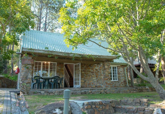
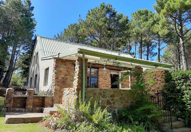
Poplar Cottage
Poplar Cottage has spectacular views of the gardens and offers comfortable Hout Bay accommodation on the Houtkapperspoort Estate. This location i...
Villa Coloniale Private Luxury Retreat
Villa Coloniale is a luxury 5 star all suite guest house nestled in peaceful, rural Constantia in beautiful Cape Town. The moment you enter you w...
Constantiaberg Eco Villa
Constantiaberg Eco Villa offers accommodation in the Constantia Valley in Cape Town. The Villa offers accommodation in three rooms. Each of the r...
Little House
Little House is situated in Constantia; the location in the beautiful Constantia Valley is a protected area of striking beauty. The loft comprise...
Kei Apple Cottage
Kei Apple Cottage offers a wonderful view over the resort and the Twelve Apostles in the west. This serene and tranquil setting makes it a popula...
Plotsklaps
Situated between Constantia and the Tokai Forest, Plotsklaps offers accommodation for up to five guests. This is ideal for a family and is within...
At Villa Fig
Adjoining a willow lined river sanctuary in the tranquil Constantia Valley you can enjoy panoramic mountain views from our bedrooms, balconies an...
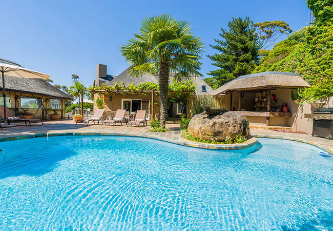
Silvermist Wine Estate
Silvermist is a unique, secluded estate situated on mountain slopes in the heart of the Cape Peninsula, a picturesque fifteen minutes from the Ca...
Oregon Pine Cottage
Oregon Pine Cottage offers accommodation in Hout Bay on the Houtkapperspoort Mountain Estate. This stunning three bedroom, character filled mount...
Maple Tree Cottage
Maple Tree Cottage offers Hout Bay accommodation with one of the best views across the estate. This serene and tranquil setting makes it a popula...
Southern Light Country House
A stylishly modern country house offering you luxury accommodation in the lush surrounds of Constantia. Luxury en-suite rooms, a scrumptious brea...
Ikhaya Safari Lodge
Unique to Cape Town, Ikhaya Safari Lodge is decorated in true African safari lodge style. Kudu and Wildebeest heads adorn the walls with Zebra sk...
Akamah Estate
Akamah Estate is an Halaal property nestled in the heart of Upper Constantia with incredible views. The rooms are comfortably fitted with en-suit...
Blue Gum Cottage
Blue Gum Cottage offers Hout Bay accommodation with outstanding views from all the main rooms to Little Lion's Head and the surrounding mountains...
Constantia Cottages
Constantia Cottages are located in the heart of the Cape's most famous and beautiful suburb, Constantia, amongst the leafy vines of the oldest wi...
Villa Lion View
Villa Lion View is uncompromisingly luxurious and is nestled on one of the green hills of Constantia, boasting uninterrupted panoramic views of t...
Constantia Vista
Offering luxurious accommodation in Cape Town's most sought after suburb, and overlooking forests, vineyards, mountains and sea, Constantia Vista...
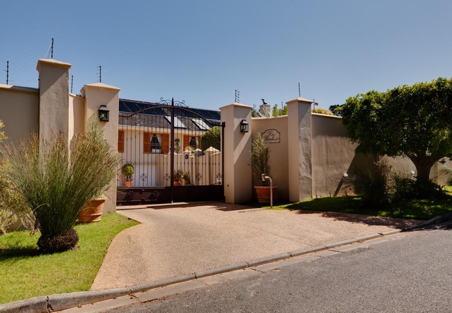
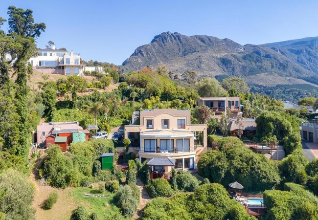
Le Bonheur
Le Bonheur offers accommodation in Cape town in a Tuscan style villa. This unique up market home is situated within the picturesque and secure Co...
White Lodge Guest House
Constantia White Lodge is wonderfully located, nestled in the heart of the Constantia Valley, one of South Africa's most famous and picturesque w...
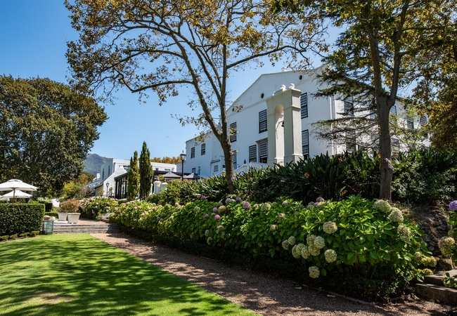
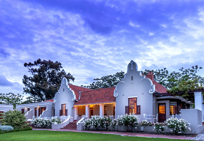
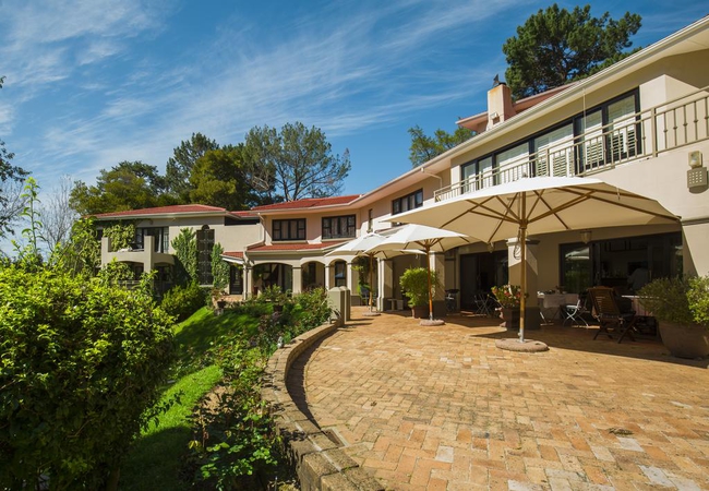
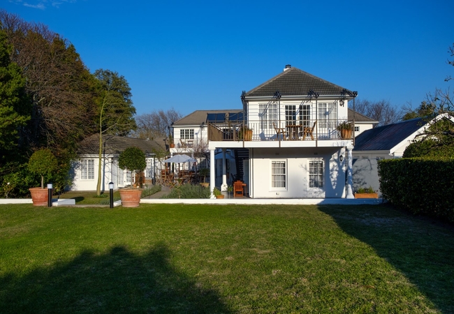
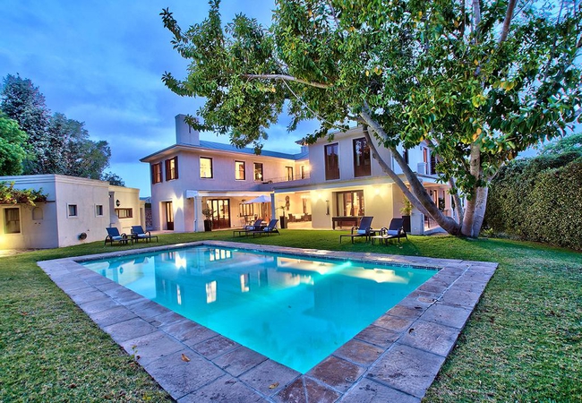
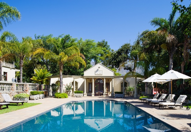
The Cellars-Hohenort Hotel & Spa
Situated in the heart of the Constantia Valley in Cape Town, South Africa, The Cellars-Hohenort is a haven of peace and tranquillity unifying two...
Le Petit Vignoble
Situated in the historic Constantia valley, Le Petit Vignoble has uninterrupted views of the Constantiaberg mountains. The elegantly decorated, e...
Mt Constantia Cottage
Mt Constantia Cottage is set in the most exclusive enclave in Upper Constantia. The cottage sleeps four guests in two bedrooms. Both rooms have a...
Camellia Cottage
Camellia Cottage is named after the charming Camellia tree outside the window that produces cerise pink blooms in winter. It is conveniently situ...
Constantia Klein
Constantia Klein is a delightful guest house situated in the prestigious Upper Constantia region of Cape Town. It enjoys a serene setting amidst ...
The Last Word Constantia
In the heart of Cape Town's oldest wine region, this elegant boutique hotel offers unique accommodation and a special holiday experience. Choose ...
Nova Constantia Boutique Residence
At Nova Constantia we pride ourselves on not just offering a fine boutique hotel in the heart of the historical Constantia Valley but rather a pr...
Devonport House
Devonport House offers super chic and luxurious accommodation in Constantia in the famous Constantia Wine Valley of Cape Town. The individually a...
Super Spacious Studio
Super Spacious Studio offers a comfortable self-catering stay for guests in Deurdrif, a leafy part of Constantia in Cape Town. The studio is loca...
Yellow Wood Cottage
Yellow Wood Cottage holds position as one of the highest plots on the Estate and makes the most of its with its unparalleled views. Enjoy comfort...
Navona Constantia Guest Cottage
A stay at Navona Cottage is the epitome of a truly relaxing experience. As a completely secure, one bedroom (king bed) garden cottage, Navona Cot...
Le Vine Constantia
Le Vine Constantia offers accommodation with sweeping views over Groot Constantia, the surrounding mountains and the ocean. This bright and airy ...
Ibis House
Ibis House is set in a seven acre garden paradise in Constantia and is designed to offer its guests luxury and comfort. Choose from a range of ac...
Chenin Cottage
Chenin Cottage is found in Deurdrif, Constantia and is able to accommodate up to three guests. From here guests can easily enjoy wine tasting at ...
King Protea Cottage
King Protea Cottage offers Hout Bay accommodation on the north side of the property, with fantastic views over the valley. This location is on th...
Taronga Villa
Nestled in the heart of Constantia's rich heritage and luscious wine valleys. Just a close walk away from five of South Africa's top wine estates...
Thomsons Accommodation
Thomsons Accommodation is situated in the charming suburb of The Vines and offers guests comfortable accommodation in Cape Town whether it's for ...
Constantia Valley Lodge
Constantia Valley Lodge is a luxury Guest House tucked away between two quiet cul de sacs in the heart of the Constantia Valley where the first v...
Dongola Guest House
Offering accommodation in Cape Town's famous Constantia Valley and bordering onto the Grootboschkloof River Walk, Dongola Guest House offers King...
Constantia Garden Suite
Situated in one of Cape Town's most exclusive suburbs, Constantia Garden Suites offers the ultimate in luxurious self catering accommodation. The...
Summit Place
Summit Place provides self catering accommodation in spacious, fully equipped units. Breakfast is available by arrangement. With nature trails, m...
Kaya La Provence
Kaya La Provence offers accommodation in Plumstead. Choose from the two bed & breakfast rooms in the main house or the self catering cottage in t...
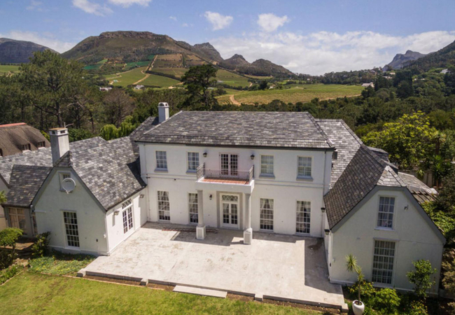
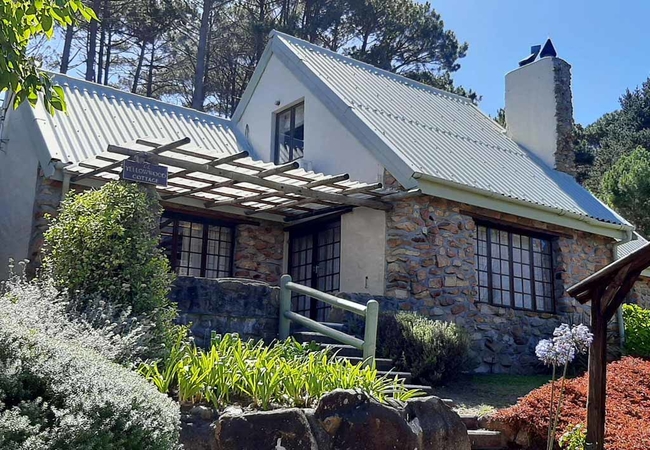
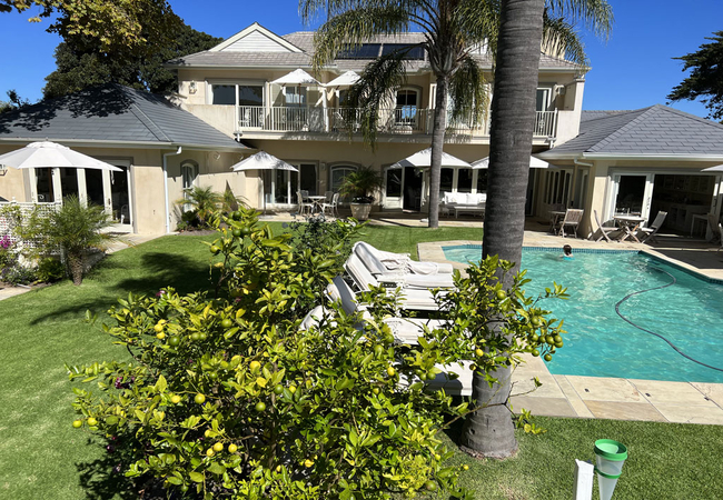
Constantia Winelands Lodge
Escape to the storied heart of the Constantia Winelands, where timeless charm meets refined comfort at Constantia Winelands Lodge. Set against a ...
Thomsons Garden Cottage
Thomsons Garden Cottage offers accommodation with easy access to major transport routes and close to many activities and things to do in the Cons...
Cottage Sauvignon
Located in Deurdrif, Constantia, Cottage Sauvignon offers accommodation in a stylish home that is able to sleep up to four guests. There is a sal...
Overseers Cottage
The Overseers Cottage offers accommodation in the Table Mountain National Park which is home to a number of small creatures. The cottage is a mod...
33 Strawberry Lane
33 Strawberry Lane offers self catering accommodation for 2 adults in the leafy suburb of Constantia. From here you are close to main travel rout...
Things to do in the area - see all in Constantia Valley
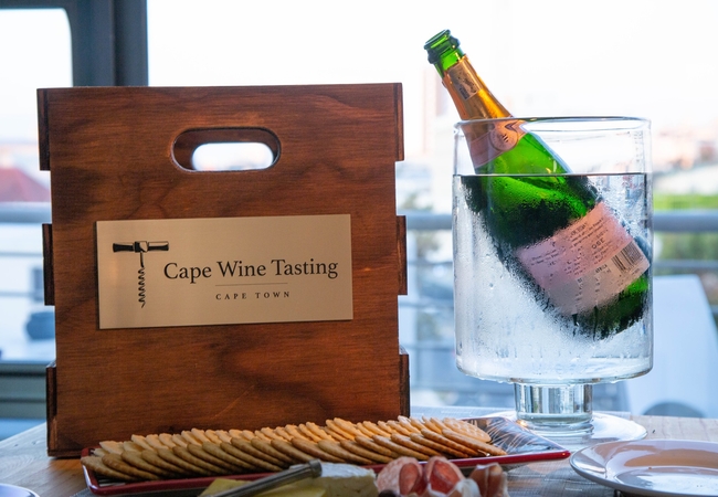
Mobile Wine Tastings
Cape Wine Tasting specializes in Wine Experiences for corporate and private clients. Our team of sommeliers conducts fun and professional tasting...
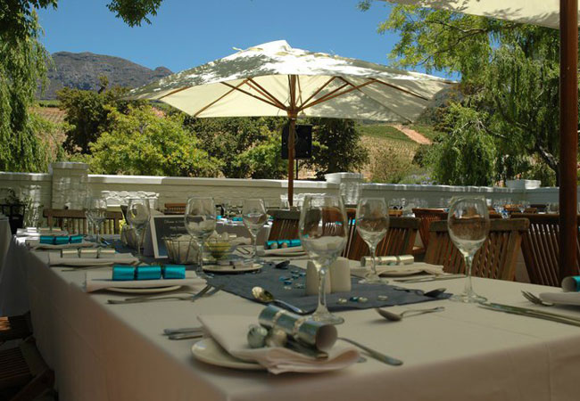
Simon's at Groot Constantia
Located in the heart of Constantia in Cape Town on South Africa's oldest wine farm, Groot Constantia, Simon's restaurant in Constantia is the ide...
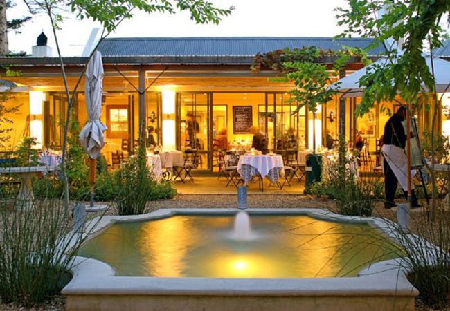
Dine at La Colombe
La Colombe, one of Cape Town's most well-loved and awarded restaurants, has achieved an impressive 12th place in the San Pellegrino 50 Best Resta...
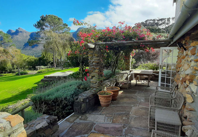
Garden Tour at Cellars Hohenort
The exquisite gardens of The Cellars-Hohenort Hotel, nestled in the verdant winelands of Constantia, Cape Town, are nothing less than breath-taki...
Groot Constantia Wine Cellar and Cellar Tours
A variety of tours are offered at Groot Constantia Guided tours through the modern cellar are offered daily from 10am to 4pm throughout the year....
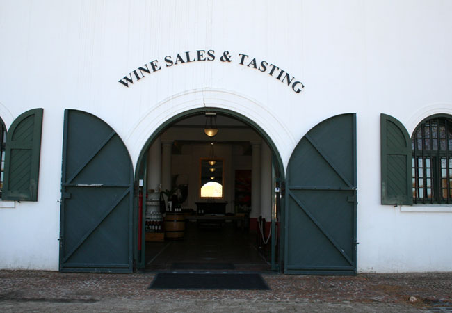
Groot Constantia Wine Tasting
The legendary wines of the Groot Constantia Estate in Constantia, Cape Town may be tasted and bought every day from 9am to 6pm. The cost per pers...
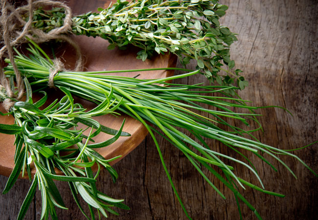
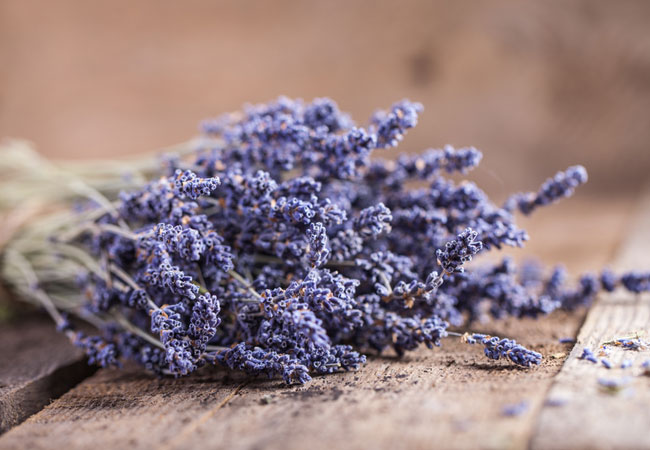
Herb Garden Tours with the Chef
The Cellars Hohenort chef conducts tours of the hotel Herb Garden every afternoon from 3pm to 3.30pm. If you are a budding chef or interested in...
Constantia Waldorf Market
The Constantia Waldorf Night Market is back for its summer season. Known as one of Cape Town's must do events, the Night Market will be held o...
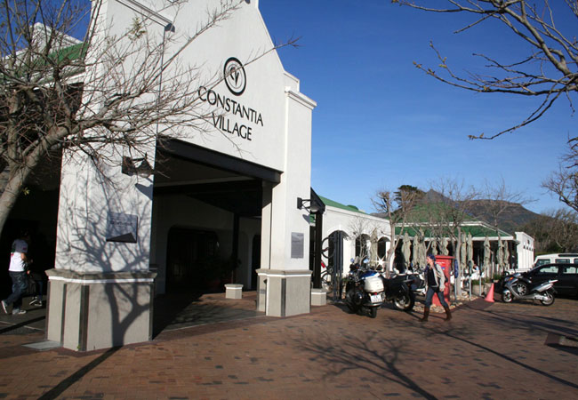
Retail Therapy in Constantia
Snug in Constantia Valley, the Constantia Village shopping centre is a good collection of 82 stores and eateries presented in a quaint layout. In...
Noteworthy attractions - see all in Constantia Valley
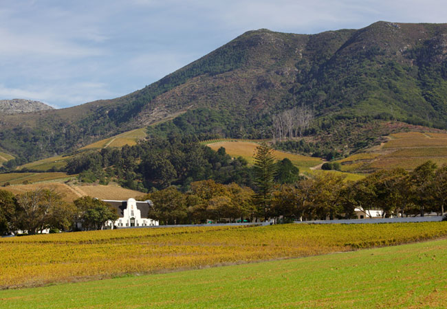
Constantia Wine Route
Rich in heritage & beauty, the Constantia Wine Route comprises of Groot Constantia, Buitenverwachting and Klein Constantia. Constantia was one of...
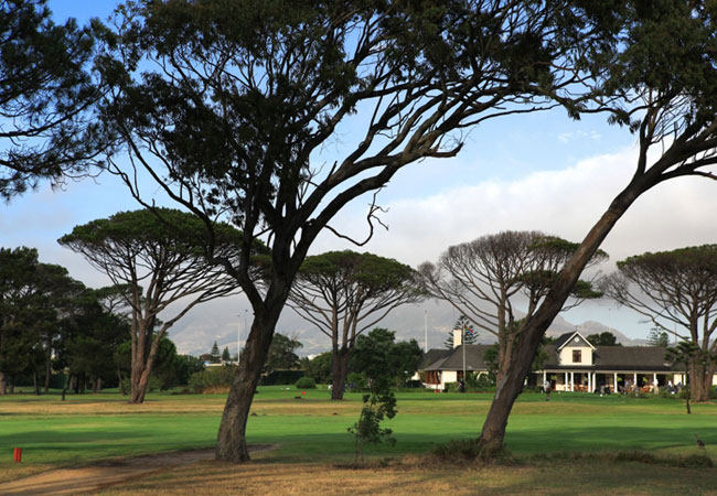
Steenberg Golf Club
The course was designed and built by one of South Africa's leading golf course architects, Peter Matkovich. The private Steenberg Golf Club is av...
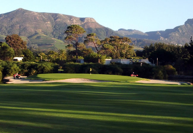
Royal Cape Golf Club
Founded in 1885, the Royal Cape Golf Club is South Africa's oldest and most exclusive club featuring a course with narrow fairways lined by trees...
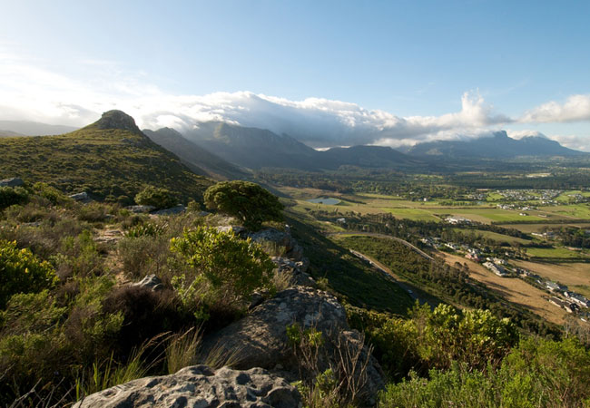
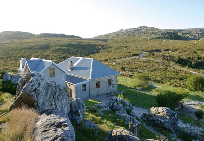
Silvermine Nature Reserve
The park straddles the mountain, from the winding Ou Kaapse Weg (Old Cape Road) on the Tokai, Constantia and Westlake side of the mountain, over ...
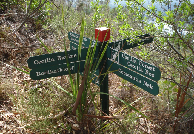
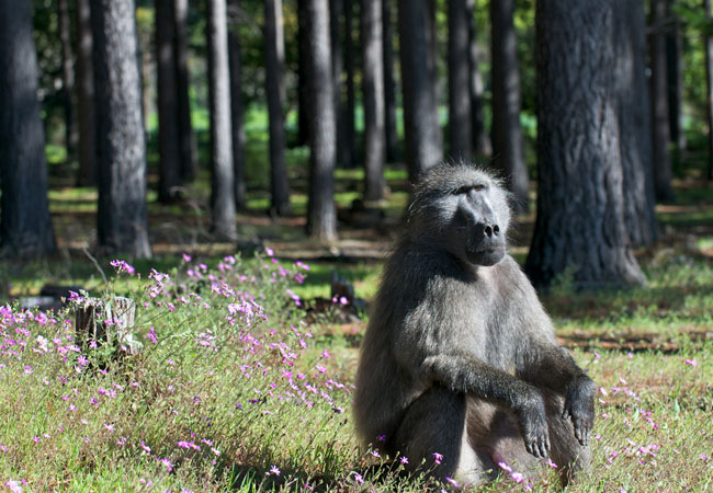
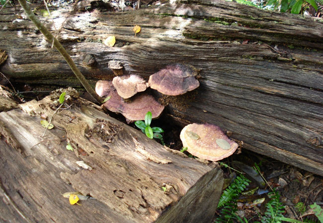
Cecilia Forest
Cecilia Forest is a beautiful part of Constantia in which to walk. There are a number of routes to choose from, the most popular of which begins ...
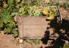
Constantia Valley Wine Estates
The wines produced in Constantia are recognised worldwide for being of the highest quality. For this reason, wine tastings and tours of the cella...
Tokai Arboretum
Tokai Arboretum has been declared a National Monument and holds over 274 tree species and over 1555 different trees within its precious hectares ...
Orangekloof Forest
Orangekloof, or Oranjekloof, is part of Table Mountain National Park. Its 285 hectares lie west of Kirstenbosch National Botanical Garden, its kl...
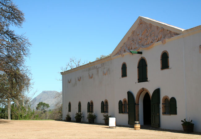
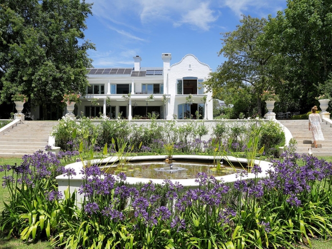
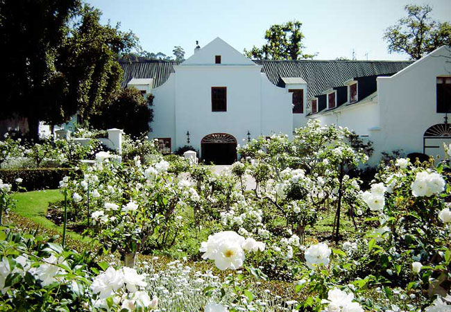
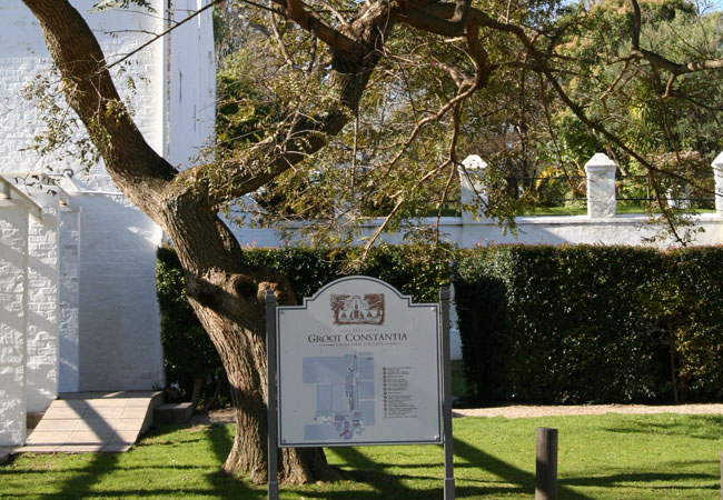
Groot Constantia
Groot Constantia is the oldest producing wine estate in the country and has played a pivotal role in wine for over three centuries. It was first ...
Find accommodation in Constantia
FIND / South Africa Accommodation / Western Cape Accommodation / Cape Town Accommodation / Southern Suburbs Accommodation / Constantia Valley Accommodation / Constantia Accommodation
Constantia as a destination
Why book with SA-Venues.com
- Your card is safe with us; strictest card verification in the industry and we don't store card numbers.
- No airy fairy service fees; you save!
- We care. Service with integrity.
- Multiple payment methods:
credit card, SID instant EFT, bank transfer. - All Constantia property owners / managers are verified (our experience protects you from online fraud).
- Secure your booking
Maps
Destination Constantia
- By type in Constantia
- Constantia Accommodation
- Constantia Hotels
- Constantia Guest Houses
- Constantia Bed & Breakfast
- Constantia Self Catering
- & Holiday Apartments & Suites
- & Holiday Cottages & Chalets
- & Holiday Homes & Villas
- Constantia Conferences
- Constantia Weddings
- Constantia Honeymoons
- Destinations near Constantia
- Bergvliet, Bishopscourt, Diep River, Kirstenhof, Plumstead, Tokai, Westlake, Wynberg
- Resources for tourists
- About Constantia
- Things To Do
- Attractions
- Reviews