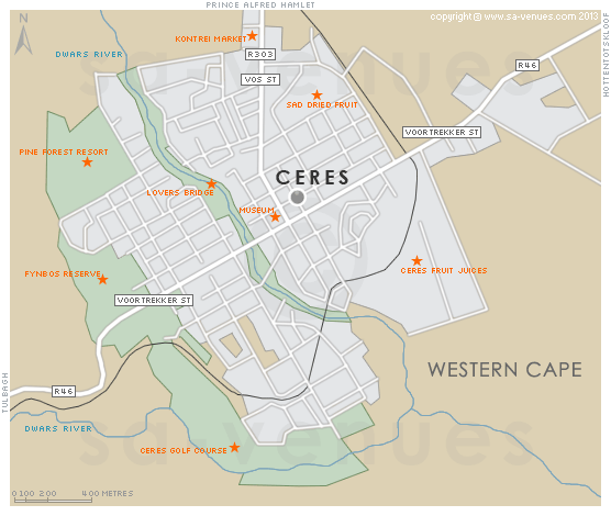
Map of Ceres, Western Cape
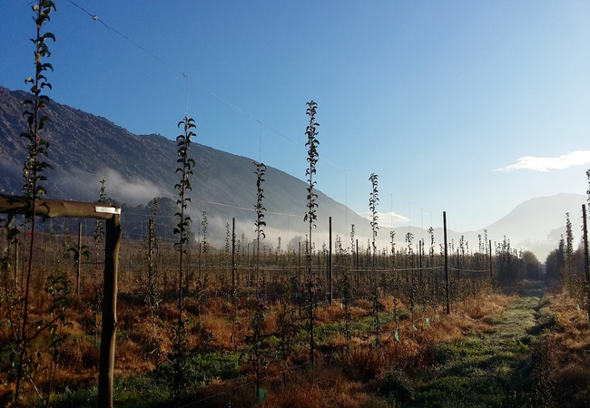
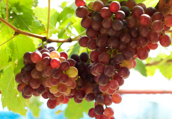
Ceres detail and street level map showing the location of major roads and attractions in Ceres including Ceres Fruit Juices, SAD Dried Fruit and the Ceres Golf Course. The Ceres district is one of the countrys largest deciduous fruit-growing regions and home to the Ceres Group that produces a fruit juice of the same name. To find out more about Ceres please see Ceres Information.
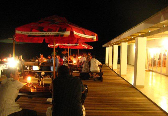
If you are interested in overnighting in the area, we can recommend some great accommodation options including hotels, guest houses and self-catering properties. If you're only planning on driving through Ceres, en-route to another destination, you may want to peruse our Ceres Restaurants before you leave to see if you should plan a stop here for lunch or maybe just a coffee. Also check out Ceres Things To Do to see if there are any activities for which you would consider stopping.
Maps of the Western Cape
Provincial Maps
Street Level Maps
Western Cape Regions
Special Interests by Map
In the vicinity
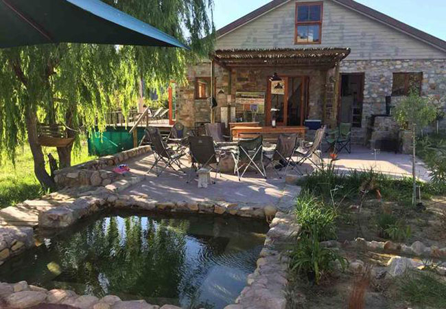
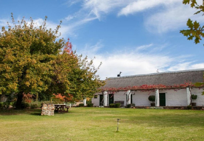
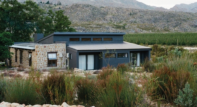
Hotels & other accommodation options
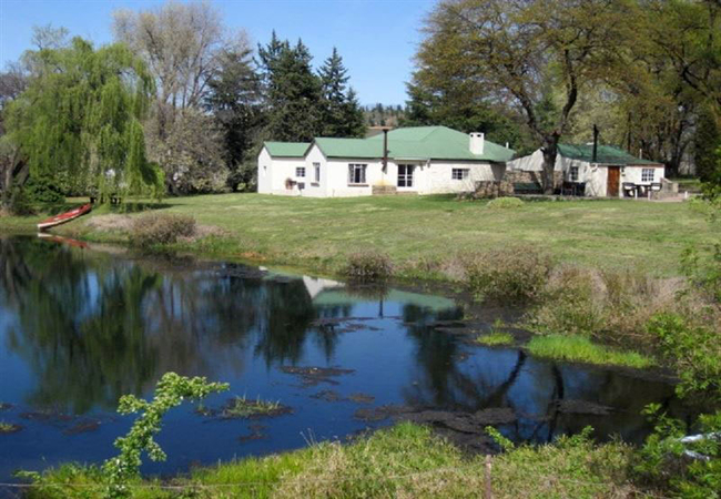
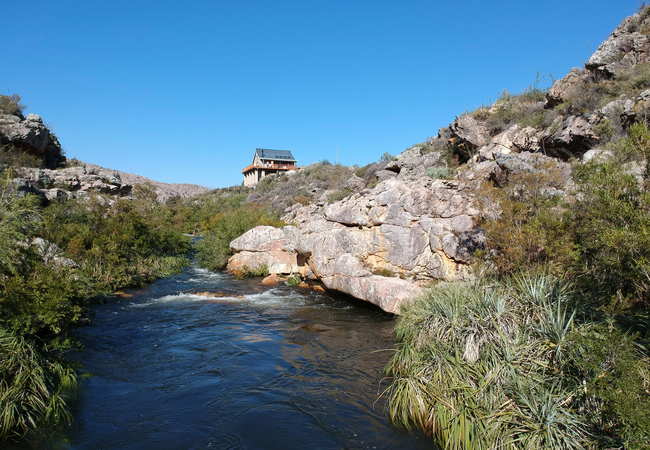
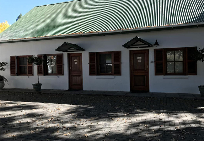
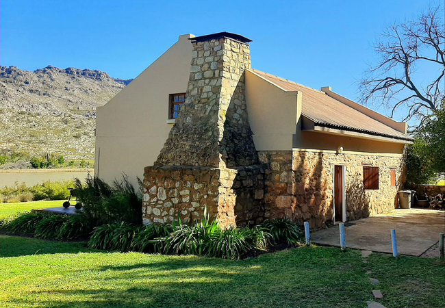
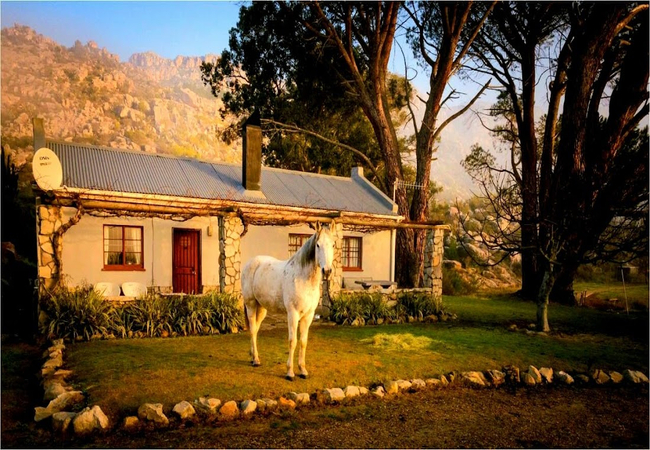
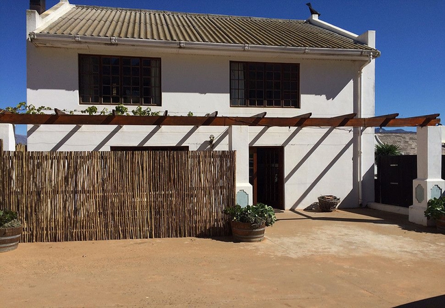
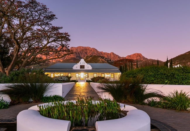
Klondyke Farm
Situated on a working farm in Ceres, Klondyke Farm offers comfortable accommodation in three cottages. There is poor cellphone reception on the f...
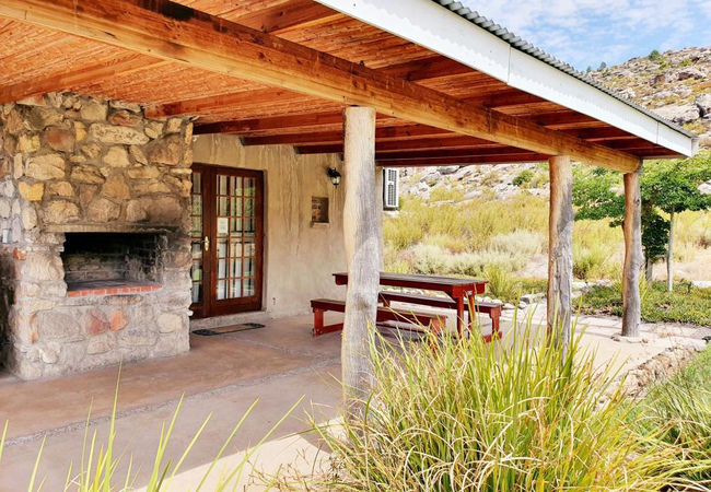
Kliphuis at Boskloof
Kliphuis is a renovated cottage with a thatch roof and a very private and romantic option. It is situated on the river bank with a private swimho...
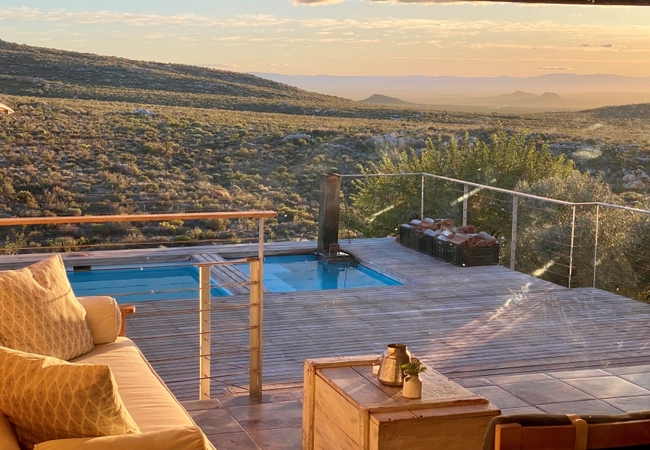
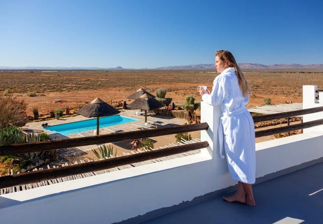
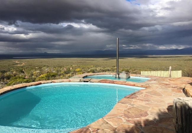
Tierkloof The Fort
Tierkloof The Fort enjoys vast views over the Ceres, Karoo to the Roggeveld mountains. Distance from artificial lights means that our night skies...
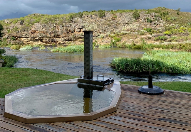
River Cottage Ceres
The River Cottage Ceres offers accommodation on a cliff overlooking the Olifants River and boasts spectacular views of the river and mountains fr...
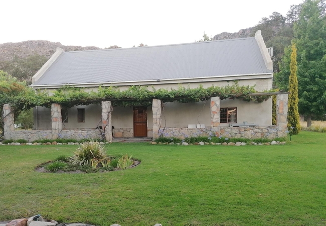
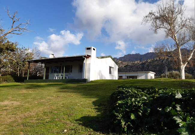
Rhodene Farm Cottages
Rhodene is a working fruit farm and offers luxury self-catering accommodation which overlooks the fertile Ceres valley and is situated at the foo...
Forgotten Highway Guest Farm
Forgotten Highway Guest Farm is on the old forgotten highway rich with history. This is a working fruit and sheep farm offering Breede River Vall...
Voelvlei House
The Voelvlei House is a freestanding, modern farm house with a fenced-off garden, salt-water pool, and situated close to the foot of the mountain...
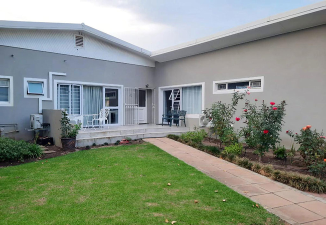
Four Seasons Guest House
Situated in a quiet residential area well known for its beautiful variety of large trees, squirrels and mountain views, the Four Seasons provides...
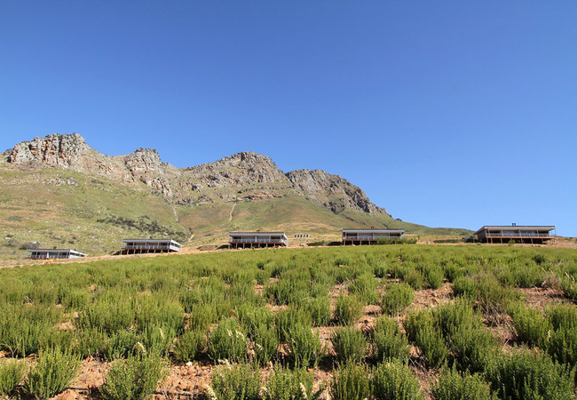
Big Sky Cottages
Big Sky Cottages offers 10 self catering units on 68 hectares on the slopes of the Mostertshoek Mountain overlooking the Valley. Each unit compri...
Dennecres 4
Dennecres 4 is a guesthouse offering Ceres accommodation in a quiet residential area in the picturesque town. The property is 900m from Ceres Hos...
Voelvlei Cottage 5
Voelvlei Cottage 5 is a three bedroomed cottage in Prince Alfred Hamlet. One room is furnished with a King-size bed, and there are two rooms furn...
Kliphuis @ Slangboskloof
Kliphuis @ Slangboskloof offers ceres accommodation on a working fruit farm, nestled against the stunning Skurweberge and looking out on the peac...
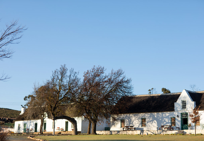
Fairfield Cottages
Fairfield Cottages is set on a 100ha operational fruit farm against the foot of the Skurweberge Mountains. All the Ceres self catering accommodat...

Mountain Spring at Fairfield
Mountain Spring Cottage offers accommodation in Ceres at the foot of the Skurweberge Mountains on a working fruit farm. The vine-covered porch pr...
Tierkloof Dragon Rock
Tierkloof Dragon Rock is a cottage on a 1200 hectare farm in Ceres about 195km from Cape Town. The cottage enjoys vast views over the Ceres Karoo...
Fynbos at Fairfield
Fynbos at Fairfield offers accommodation in Ceres on an operational fruit farm against the foot of the Skurweberge Mountains. This is the perfect...
Rivers Own Guest Lodge
Rivers Own Guest Lodge in the Mount Bain Reserve is a rare gem waiting to be enjoyed by anyone who makes the from Cape Town to this exquisitely a...
Peacock's Perch
Peacock's Perch Cottage is a two bedroom holiday home sleeping six guests in Prince Alfred Hamlet on a working fruit farm which overlooks the fer...
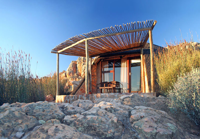
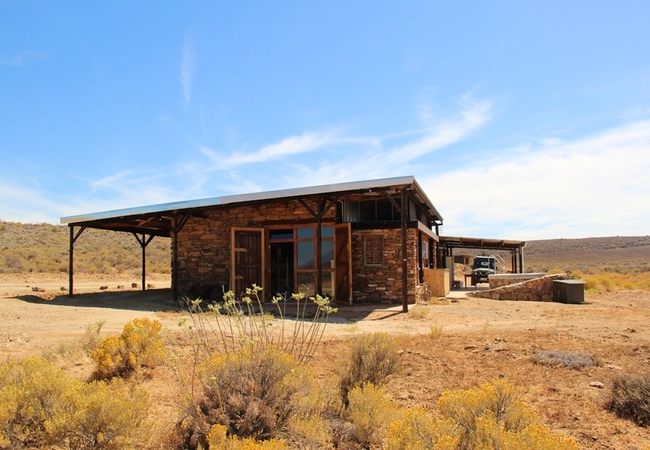
Kagga Kamma Nature Reserve
Kagga Kamma Nature Reserve is located in an untouched wilderness area near Ceres, renowned for its scenic beauty and dramatic rock formations typ...
Houdenbek Tarantaal Cottage
Houdenbek Tarantaal Cottage is located at Houdenbek, a working fruit and vegetable farm in the well known Koue Bokkeveld. This is a picturesque a...
Klipspringer at Fairfield
Klipspringer Cottage offers accommodation in Ceres on a fruit farm with spectacular mountain views. Klipspringer is a holiday cottage sleeping si...
Inverdoorn Game Reserve
Inverdoorn is located in a malaria free zone, 2 ½ hours drive from Cape Town. Our game reserve includes 29 different species of animal including ...
Boplaas Guesthouse
Boplaas Guesthouse is a self catering holiday home set on its own private land. Guests have access to the farm dam and are able to go biking and ...
Cherry Blossom Cottage
Cherry Blossom Cottage has two bedrooms furnished with a Queen-size bed and two single beds respectively. The living area is equipped with a flat...
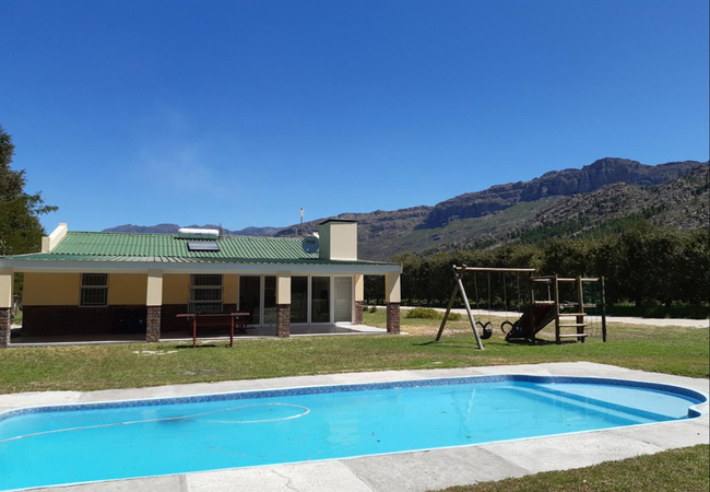
Mosterts Hoek Guest House
Mosterts Hoek is a self catering home found on a farm near Romans Rivier between Ceres and Worcester. The house sleeps up to eight guests in four...
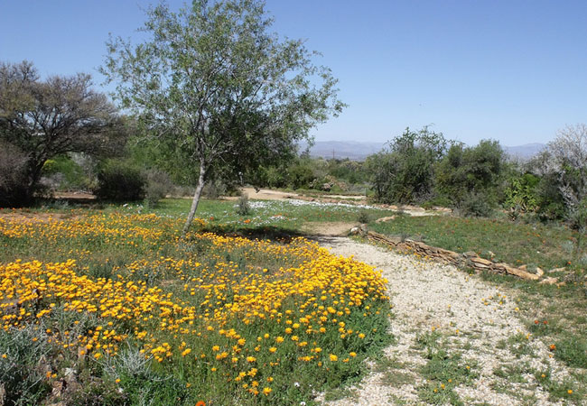
GlenDonald Cottage
GlenDonald Cottage offers visitors the opportunity to experience the Cape Floral Kingdom in all its glory. This perfect mountain cottage lies hid...
Houdenbek Fisant Cottage
Houdenbek Fisant Cottage offers Ceres self catering at Houdenbek, a working fruit and vegetable farm in the well known Koue Bokkeveld. Houdenbek ...
The Orchard Cottage
The Orchard Cottage at Glendonald offers guests the ideal weekend getaway in the most beautiful valley in the Western Cape, set in amongst the or...
Tierkloof Serenity
Tierkloof Serenity is a cottage located on our 1200 hectare farm. We are 195km from Cape Town, which means our cottage offers accommodation that ...
The Wagon House
The Wagon House is an old shepherd's house that has been renovated into a family holiday home in the Sand River Conservancy. The house can sleep ...

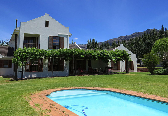
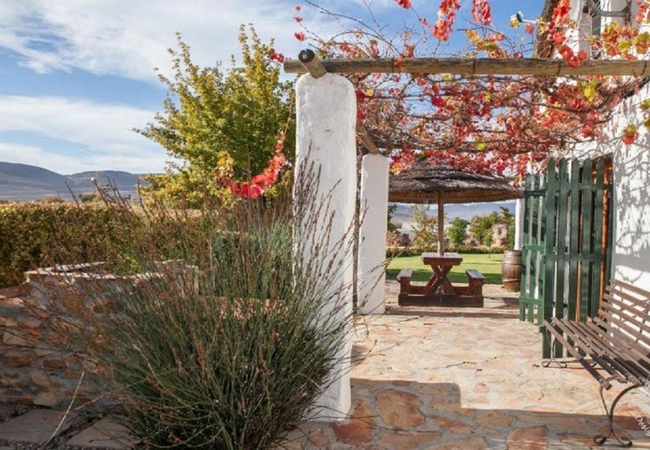
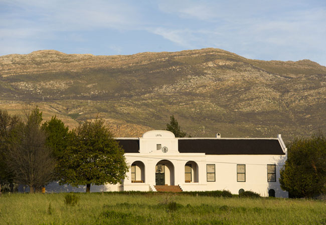
Rico Suter Country House
If you are looking for something special, this is the place! Set in breathtaking surroundings on a large wine and fruit farm at the base of the W...
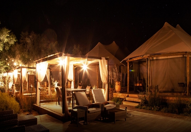
Kuganha Luxury Tented Camp
The luxurious Kuganha Tented Camp and Spa is a tranquil safari dreamscape situated just 2.5 hours drive from Cape Town, where guests will feel a ...
Things to do in the area - see all in Breede River Valley
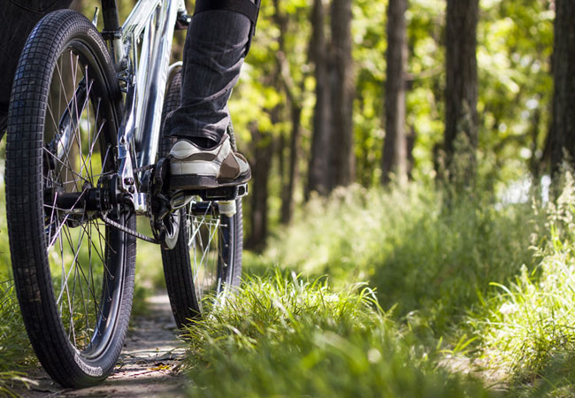
Eselfontein MTB Route
For one of the best MTB routes in the country, get to Eselfontein Road on Eselfontein Farm for a riding experience of a lifetime.This moderate to...
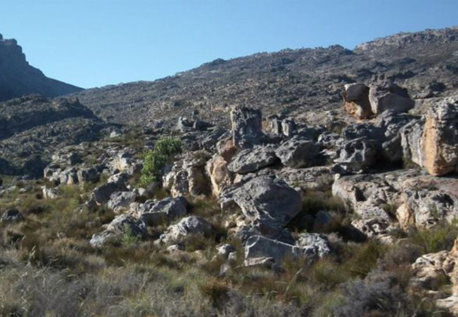
Hiking in Matroosberg Reserve
Hike in the Matroosberg Nature Reserve, 35 kms east of Ceres. The trail is approximately 13 km up the Matroosberg Mountain, running along the 4x...
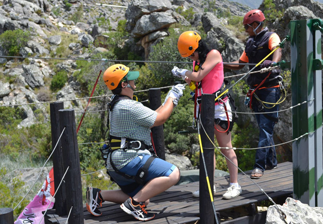
Ceres Zipline Tour
In the heart of the Western Cape, where mountains loom over citrus orchards, lies the picturesque area of Ceres. The best way to enjoy the stunni...
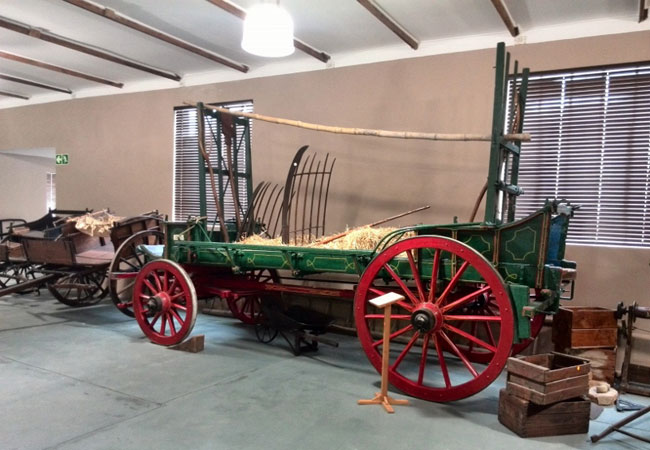
Ceres Transport Riders Museum
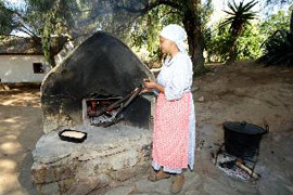
The Ceres Togryers Museum or Transport Riders Museum represents the cultural and historical heritage of Ceres. On display are a number of items i...
Waboomsrivier Wine Cellar
This estate was named after the protea arborea named waboom meaning wagon tree. Early settlers would use the wood from the protea to make wheel...
Bydidam Steak House and Coffee Shop
Just a short distance from the magnificent Middelburg Pass in the Cederberg, nestled within the countryside, is the 3-star resorts signature res...
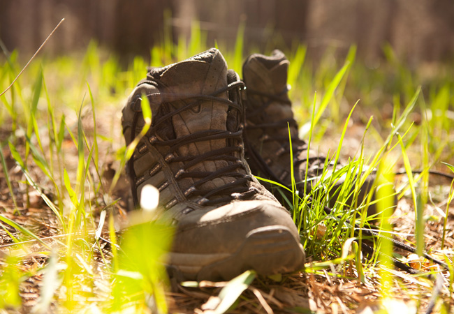
Christie Prins Hiking Trail
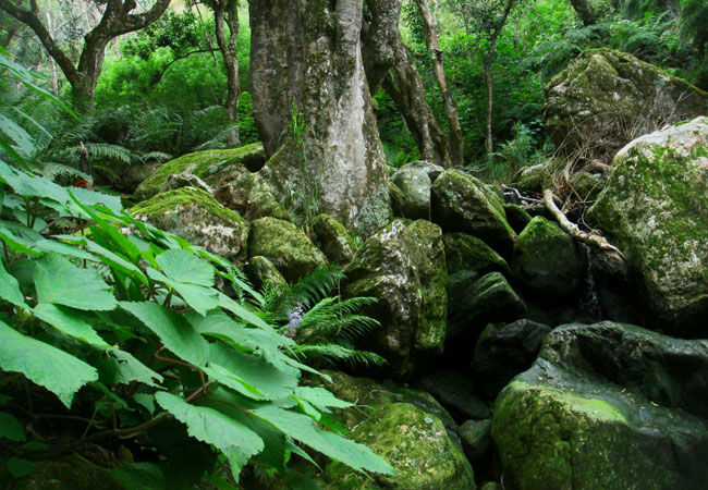
Ceres is a picturesque part of the Western Cape that is peaceful and inviting. Home to a few locals, it also welcomes plenty of national and inte...
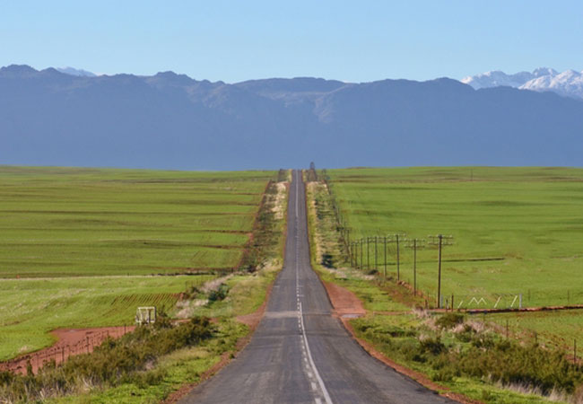
Ceres Self Drive Routes
Ceres is a spectacularly scenic part of the Western Cape, and is a fabulous destination for those wanting to explore the Cape via road. Although ...

Matroosberg Hiking Trail
The Matroosberg Mountain and the nature reserve are truly spectacular, nestled in the heart of the Western Cape Province of South Africa. Just 35...
Noteworthy attractions - see all in Breede River Valley
Marloth Nature Reserve
Lying just three kilometres from the pretty little town of Swellendam, the Marloth Nature Reserve conserves the central Langeberg Mountains that ...

Vrolijkheid Nature Reserve
Set in a part of the country known as the arid Robertson Karoo, the Vrolijkheid Nature Reserve lies in the Breede River Valley, roughly 15 kilome...
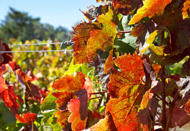
Robertson Wine Route
Only 1.5 hours drive from Cape Town and in the heart of Route 62 - the longest wine route in the country - Robertson Wine Valley lies surrounded...
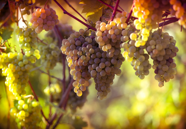
Tulbagh Wine Route
Only 80 minutes drive from Cape Town, the Tulbagh Valley lies surrounded on three sides by mountains in the west, the Obiqua Mountains, to the...
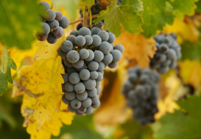
Worcester Wine Route
The Worcester winelands incorporate over 250 years of winemaking knowledge to produce, amongst other cultivars, Cabernet Sauvignon, Chenin Blanc ...
Kleinplasie Worcester Open Air Museum
1km outside Worcester, is Kleinplasie Living Open-air Museum. Here we depict the lifestyle of the early Cape pioneer farmers. Activities like tob...

Worcester Golf Club
The Worcester Golf Club is situated at the start of the Western Capes Klein Karoo, approximately 50 minutes from Cape Town en route to Oudtshoor...
De Oude Drostdy
Definitely high on the list of must visits when in Tulbagh, De Oude Drostdy is a typical Cape Dutch style home built in 1804 just outside the t...
Karoo Desert National Botanical Garden
In Roux Road on the outskirts of Worcester, some 120 kilometres from Cape Town, lies a unique gem of a garden - the only truly succulent garden i...
Find accommodation in Ceres
FIND / South Africa Accommodation / Western Cape Accommodation / Cape Town Accommodation / Breede River Valley Accommodation / Ceres Accommodation
Ceres as a destination
Why book with SA-Venues.com
- Your card is safe with us; strictest card verification in the industry and we don't store card numbers.
- No airy fairy service fees; you save!
- We care. Service with integrity.
- Multiple payment methods:
credit card, SID instant EFT, bank transfer. - All Ceres property owners / managers are verified (our experience protects you from online fraud).
- Secure your booking
Maps
Destination Ceres
- By type in Ceres
- Ceres Accommodation
- Ceres Hotels
- Game Lodges
- Ceres Guest Houses
- Ceres Bed & Breakfast
- Ceres Self Catering
- & Holiday Apartments & Suites
- & Holiday Cottages & Chalets
- & Holiday Homes & Villas
- Ceres Conferences
- Ceres Honeymoons
- Destinations near Ceres
- Ashton, Bainskloof, Bonnievale, Breeriver, De Doorns, Du Toitskloof, McGregor, Montagu, Prince Alfred Hamlet, Rawsonville, Robertson, Tulbagh, Wolseley, Worcester
- Resources for tourists
- About Ceres
- Things To Do
- Attractions
- Reviews