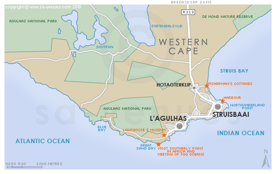
Map of Struisbaai, Western Cape
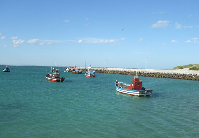
Struisbaai detail and street level map showing popular landmarks and attractions including the location of the harbour and fishermen's cottages and its close location to the southern-most point of Africa. Struisbaai's little harbour serves both fishing and ski boats for the myriad visitors to the town during holiday season. To find out more about this popular getaway town please see Struisbaai Information.
If you are interested in overnighting in the area, we can recommend some great accommodation options including hotels, guest houses and self-catering properties. If you're only planning on driving through Struisbaai, en-route to another destination, you may want to peruse our Struisbaai Restaurants before you leave to see if you should plan a stop here for lunch or maybe just a coffee. Also check out Struisbaai Things To Do to see if there are any activities for which you would consider stopping.
Maps of the Western Cape
Provincial Maps
Street Level Maps
Western Cape Regions
Special Interests by Map
In the vicinity
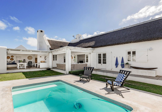
Hotels & other accommodation options
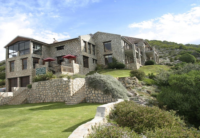
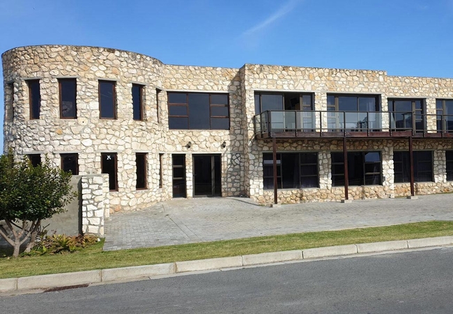
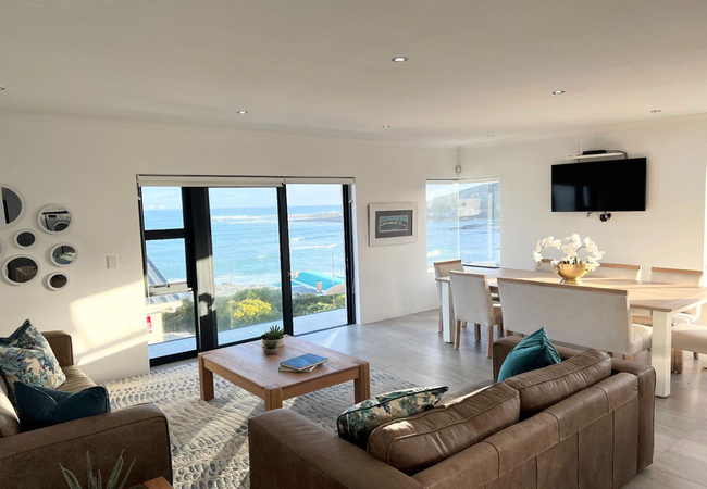
Agulhas Country Lodge
Agulhas Country Lodge is built from local limestone and blends beautifully into a hill overlooking the spectacular oceans. All rooms have sea vie...
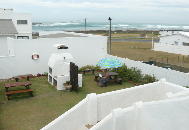
House of 2 Oceans
Situated in the quaint village of Agulhas, House of 2 Oceans offers self catering accommodation near the beach. Relax on your private balcony and...
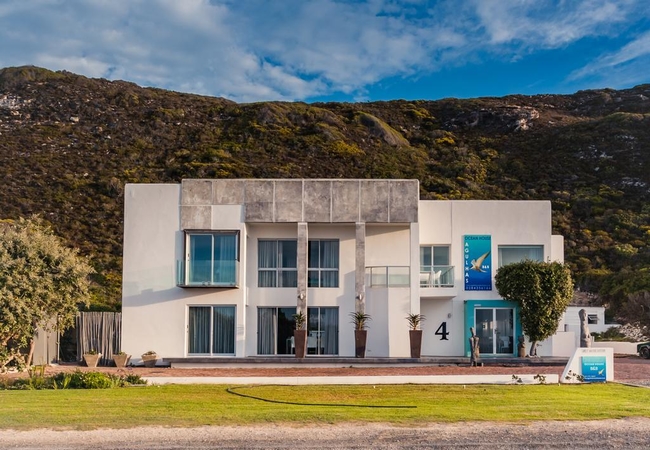
Agulhas Ocean House
Agulhas Ocean House is located at the entrance to Agulhas and looks over glorious, unobstructed seascapes. From May through to November guests ca...
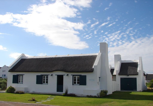
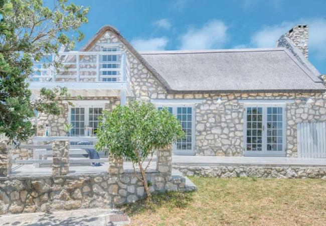
Zuidste Huisie
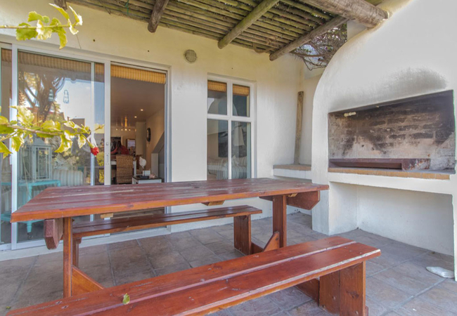
Zuidste Huisie is a self catering fisherman's cottage within the Langezandt Fisherman's Village Development in Struisbaai. The cottage, with a th...
The Goose Nest
Situated just five minutes from Struisbaai beach, The Goose Nest offers self catering accommodation in a cosy apartment, ideally suited to a coup...
Chateau de Marine Boutique Hotel & Wellness
Chateau de Marine Boutique Hotel is situated in Struisbaai and offers accommodation in nine luxury bedrooms. The establishment has secure parking...
Fynbos Hill
Fynbos Hill has two expansive bedrooms each furnished with a lavish Queen-size bed. A promise of luxury is woven into every detail, as the soft e...
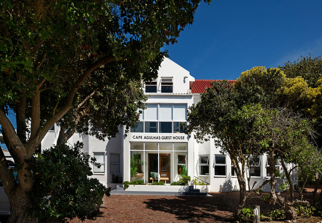
Cape Agulhas Guest House
Cape Agulhas Guest House offers bed & breakfast accommodation in L'Agulhas, just a two minute walk from the sea. There is a fully licensed bar an...

Summer Place B&B
Summer Place is family-friendly beach house offering accommodation within walking distance to the beach. This southerly tip of Africa is a wonder...
Casa Pescador
Casa Pescador is a self catering house offering accommodation in Struisbaai, two minutes walk away from the beach. The name means Fishermans Hous...
Plottie and Erf
Plottie and Erf is a spacious holiday home and apartment in Struisbaai offering self-catering in walking distance of the picturesque harbour, bea...
Fraai Uitzicht
Fraai Uitzicht is an up-market, self catering family home offering accommodation in the Argonauta Estate. The inviting features ensure you the co...

Petite Apartment
Petite is open plan holiday apartment in Stuisbaai for two guests. There is also a sofa bed to accommodate one additional guest. The kitchen is f...
The Tides 9
The Tides 9 is a self-catering holiday home in Struisbaai, located just 450m from the beach. This six-sleeper home is ideal for a family or group...

Stonehouse On Main
Stonehouse On Main is the ideal base from which to visit the towns facilities and attractions with easy access situated from the main road. The ...
Soutbos & Janfrederik Self Catering
Soutbos & Janfrederik Self Catering offers accommodation in two self catering units situated in the town of L'Agulhas. It is perfect for a family...

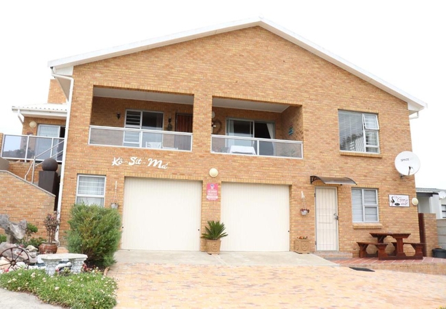
Kom-t-min ier
Kom-t-min ier is a self-catering home within close proximity to Struisbaai Main Beach, the town centre, and Struisbaai Harbour. Kom-t min ier off...
South 2 Sea Cottage
South 2 Sea Cottage is located in a security estate in the little town of Struisbaai, which is home to many popular fishing spots. The cottage is...
South Point Self Catering & B&B
Situated 200 metres from the gates to the Agulhas National Park and the historic Lighthouse in the picturesque town of L'Agulhas, South Point off...
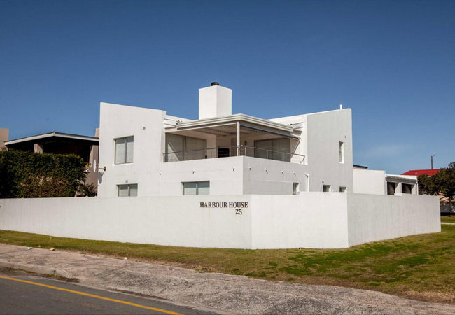
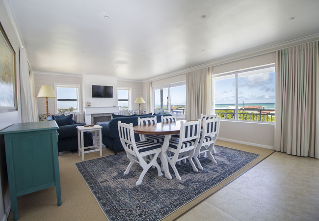
Harbour House 25
Harbour House 25 is a luxury seafront double storey self-catering house offering Struisbaai accommodation across the road from the harbour. Take ...
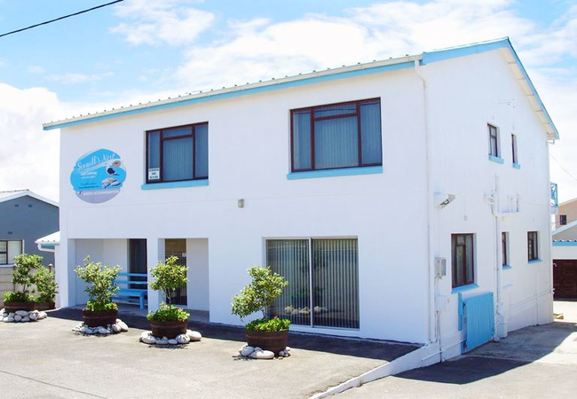
Seagulls Nest Self Catering
Seagulls Nest consists of three self catering holiday apartments / units which are situated on the Main Road in Struisbaai. From here you are cen...
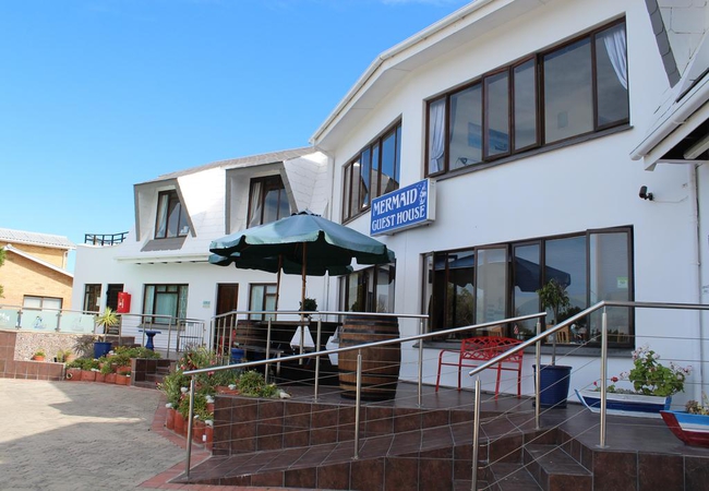
Mermaid Guest House
Come rest a while in our beautiful seaside village. Boasting the longest continuous beach in Southern Africa, the 14km of white sand extends from...
25 The Tides
25 The Tides is a charming self catering apartment located in a secure complex in Struisbaai. It is ideal accommodation for a family. Shops, rest...
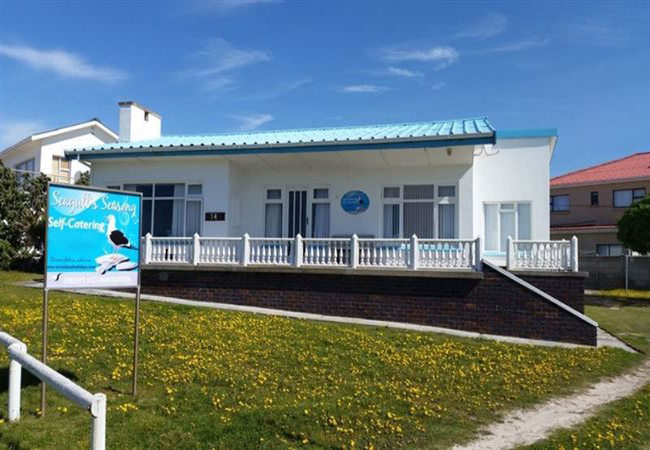
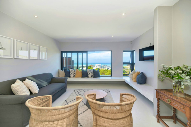
Seagulls Seasong
Seagulls Seasong is a lovely beachfront house situated in Beach Road. The house sleeps eight guests and consists of four bedrooms. Two of the bed...
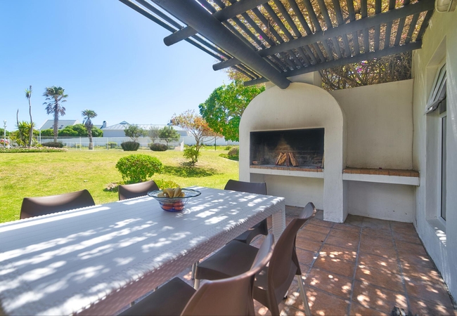
Kob Cottage
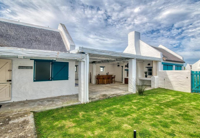
Kob Cottage is centrally located in the village close to stores and restaurants. This stone cottage is eclectically furnished and built from loca...
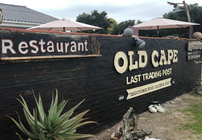
Old Cape Last Trading Post
Old Cape Last Trading Post offers accommodation with a restaurant and bar. The property is inspired by its unique location at the Southern tip of...
Bliss on the Bay
Located in the Langezandt Estate, Bliss on the Bay offers luxury self-catering accommodation in Struisbaai for up to 10 guests. The fishing town ...

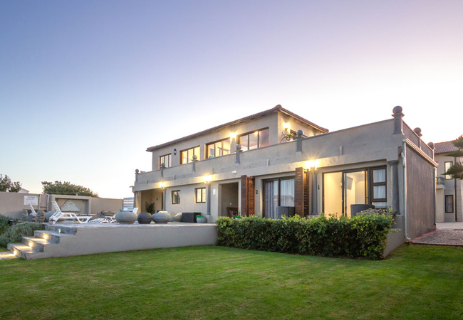
Marlin Manor
Staying at Marlin Manor will afford you a very unique experience at the southernmost tip of Africa, where the two oceans meet. Situated on 650m o...
Things to do in the area - see all in Cape Agulhas
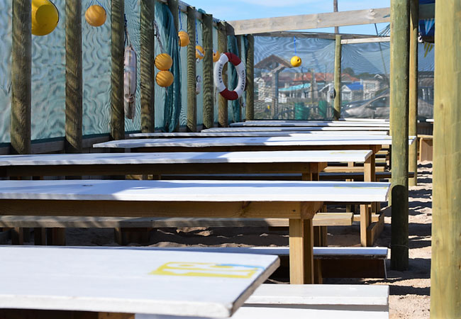
Struisbaai Sea Shack
There are few places as romantically enticing as the western coastline of South Africa. Charming little fishing villages lie sleepily on white sa...
Awesome Charters
Experience angling at the southern most tip of Africa with Awesome Charters, a saltwater fishing charter, based in Struisbaai. Based in the Strui...
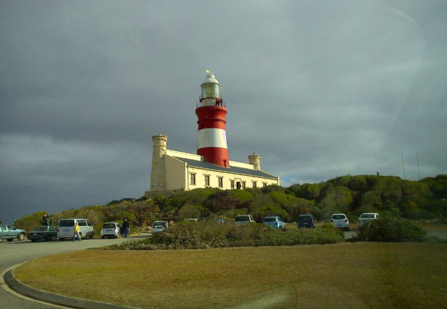
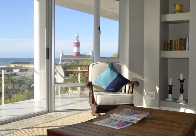
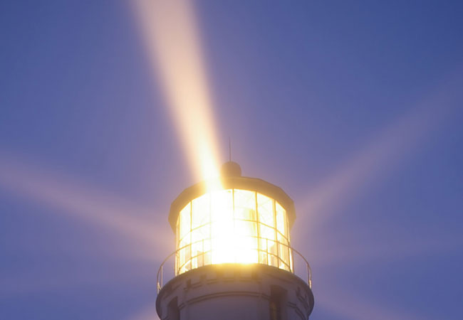
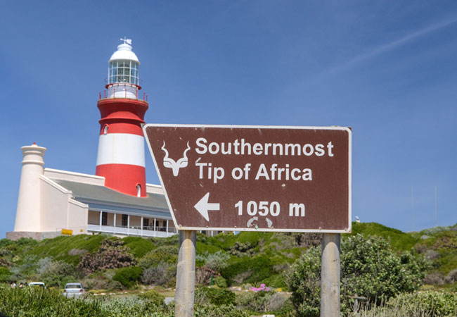
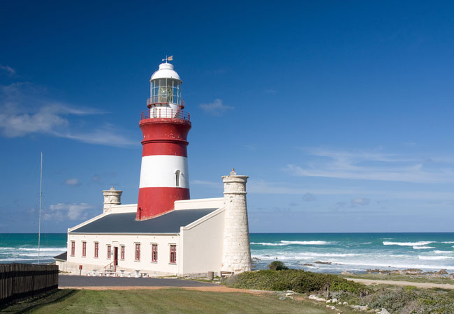
Cape Agulhas Lighthouse
The Cape Agulhas Lighthouse has stood for over 150 years as a maritime chaperone over the notorious 'Cape of Storms', at the most southern tip of...
Quoin Point Lighthouse
There is a rather menacing peninsula or promontory that lies between Danger Point and Cape Agulhas, known as Quoin Point. It forms the outer east...
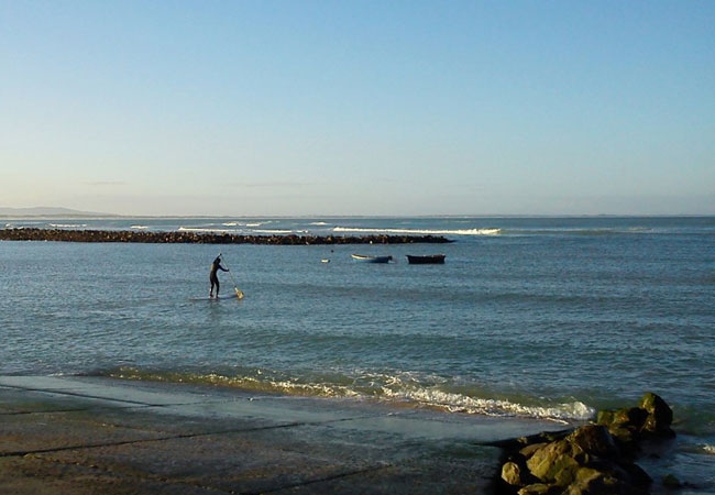
Struisbaai Beach
Struisbaai beach is truly remarkable with its white sands and seemingly endless coastline. This is a fantastic spot for both shore anglers and fi...
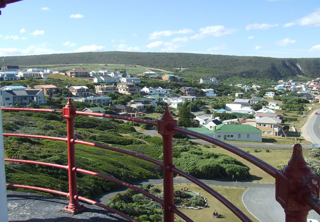
Cape Agulhas Lighthouse Museum
The Cape Agulhas Lighthouse Museum was opened in 1994 and is the only one of its kind that is found in Africa. The museum is a wonderful historic...
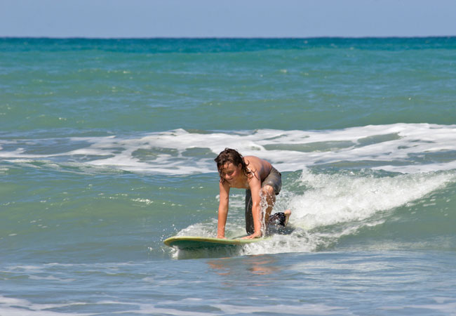
Learn to Surf in Cape Agulhas
Robbie's surfing lessons are located at Struisbaai Beach in Cape Agulhas. This is is a gentle, friendly wave for beginners, on the warm Indian Oc...
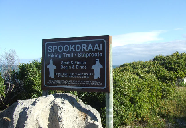
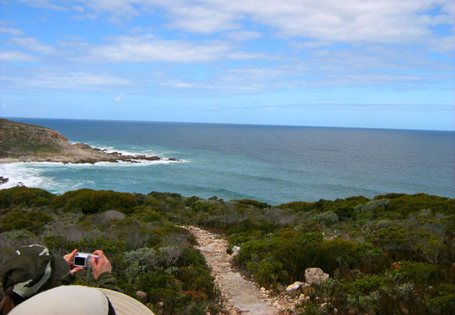
Spookdraai Hiking Trail
There is no secret behind the name of this hiking trail at Cape Agulhas. There have been so many shipwrecks along this coastline that even if you...
Rasperpunt Hiking Trail
More commonly known as the Agulhas walking trail, because it takes place within the Agulhas National Park, the Rasperpunt hike begins just west o...
Noteworthy attractions - see all in Cape Agulhas
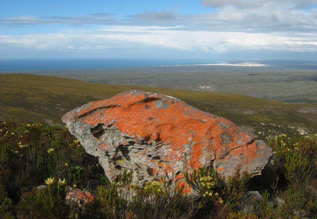
Agulhas National Park
Lying in what is known as the Agulhas Plain at the southernmost tip of Africa is the Agulhas National Park, just 45 kilometres from the popular v...
De Hoop Nature Reserve
The De Hoop Nature Reserve is approximately 34 000 ha in size and one of the largest natural areas managed by Cape Nature Conservation. It is a f...
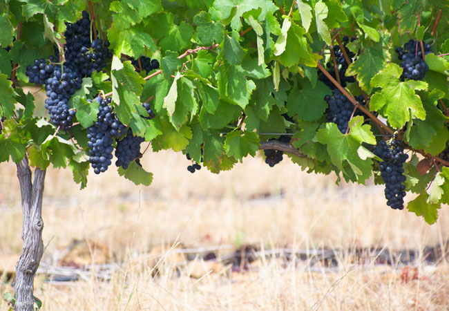
Cape Agulhas Wine Route
Elim is something of a phenomenon as its unique terroir has caused much excitement in the wine community worldwide. The cool and strong winds t...
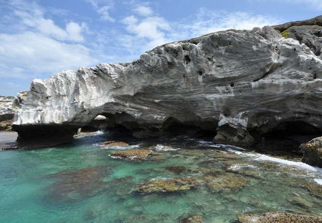
Waenhuiskrans Nature Reserve
Formerly known as Waenhuiskrans until a ship by the name of Arniston was wrecked here, the village is a much sought after holiday residence becau...
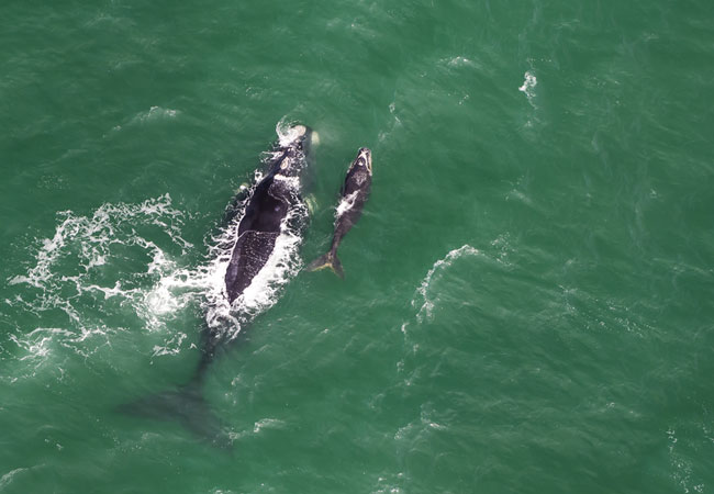
The Whale Coast Route
The Whale Route begins in Cape Town and follows the particularly pretty R44, also known as Clarence Drive, through the Kogelberg Biosphere Reserv...
Tip of Africa Route
Based on the Overberg Tourism map, the Tip of Africa Route starts in Cape Town, where you take the N2 via Grabouw and Caledon to the pretty town ...
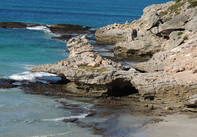
Waenhuiskrans Cave
Waenhuiskrans (wagon house cliff) is the highlight of a visit to Waenhuiskrans Nature Reserve in Arniston. What makes the Waenhuiskrans Cave so e...

Cape Agulhas Wine Estates
The official wine route of Cape Agulhas transports tourists to a charming part of the country and includes the area of Montagu. Although this is ...
De Mond Nature Reserve
As its name suggests De Mond Nature Reserve lies at a river mouth the Heuningnes River - in the curve of a natural bay, almost halfway between ...
Find accommodation in Struisbaai
FIND / South Africa Accommodation / Western Cape Accommodation / Cape Town Accommodation / Cape Overberg Accommodation / Cape Agulhas Accommodation / Struisbaai Accommodation
Struisbaai as a destination
Why book with SA-Venues.com
- Your card is safe with us; strictest card verification in the industry and we don't store card numbers.
- No airy fairy service fees; you save!
- We care. Service with integrity.
- Multiple payment methods:
credit card, SID instant EFT, bank transfer. - All Struisbaai property owners / managers are verified (our experience protects you from online fraud).
- Secure your booking
Maps
Destination Struisbaai
- By type in Struisbaai
- Struisbaai Accommodation
- Struisbaai Hotels
- Struisbaai Guest Houses
- Struisbaai Bed & Breakfast
- Struisbaai Self Catering
- & Holiday Apartments & Suites
- & Holiday Cottages & Chalets
- & Holiday Homes & Villas
- Struisbaai Honeymoons
- Destinations near Struisbaai
- Arniston, Baardskeerdersbos, Bredasdorp, Elim, L'Agulhas, Malgas, Napier, Suiderstrand
- Resources for tourists
- About Struisbaai
- Things To Do
- Attractions
- Reviews