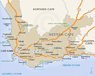
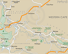
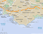
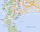
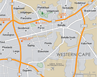
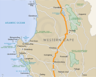
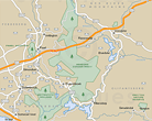
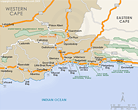
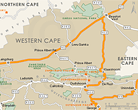
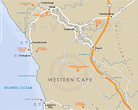
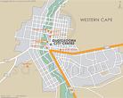
Maps of the Western Cape
A comprehensive set of maps of the Western Cape, South Africa. Includes a hybrid physical / political map showing the major towns of the province, the largest game reserves and the national roads, relief map showing the terrain in the Western Cape and the regions of the province, street level maps of Hermanus, Oudtshoorn and the V&A Waterfront, and maps of the Blaauwberg, Breede River Valley, Cape Overberg, Cape Peninsula, Cape Town City Bowl, Cape Town North, Cape West Coast, Cape Winelands, Garden Route, Karoo and Olifants River Valley Regions.
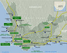
For the traveller, a map of the major attractions in the Western Cape and a map of the accommodation in the Western Cape. Also see Western Cape National Parks, Nature Reserves and Game Reserves or Golf Courses of the Western Cape (plotted on a map of the province).
Provincial
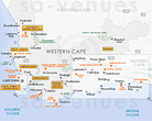
Regional
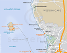
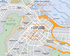
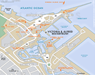
Street Level
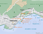
In the vicinity
Hotels & other accommodation options
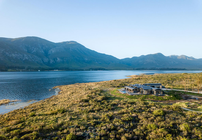
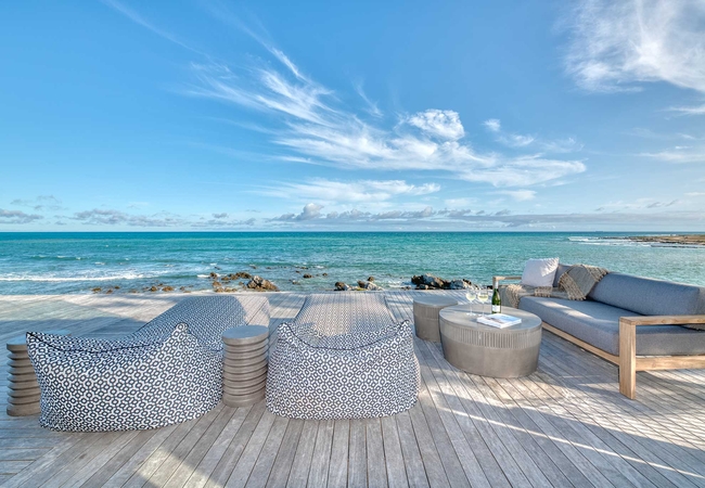
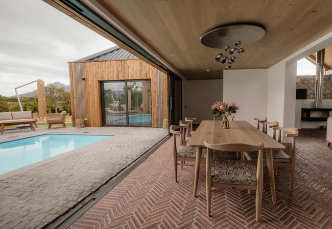
Perivoli Lagoon House
Perivoli Lagoon House is set in a stunning, isolated, 140ha wilderness of colourful Fynbos biome, a stone's throw from the Klein River lagoon wit...
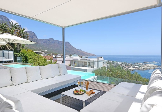
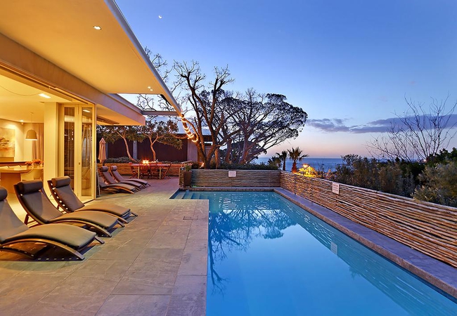
Villa Dolce Vita
Villa Dolce Vita offers luxury accommodation in Camps Bay for 14 guests. The villa has a resident butler and daily housekeeping. It is an easy st...
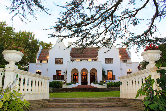
Le Grand Jardin Villa
Discover a different pace of life among the historic vineyards of Stellenbosch, where Le Grand Jardin Villa offers complete privacy and a stay yo...
Marlin Manor
Staying at Marlin Manor will afford you a very unique experience at the southernmost tip of Africa, where the two oceans meet. Situated on 650m o...
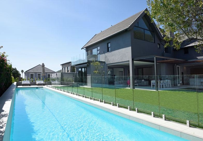
Villa Normandie
Set on the exclusive Atlantic Seaboard in the peaceful area of Fresnaye, Villa Normandie is oriented around family stays. Spaces are cleverly des...

The 11 Camps Bay
The 11 Camps Bay is a luxurious villa in Camps Bay with magnificent views, located at the foot of Table Mountain and surrounded by views of the A...
Blinkwater Villa
Blinkwater Villa offers luxury self catering accommodation in Camps Bay. The home sleeps eight guests in four en-suite bedrooms. The villa has a ...
Ludus Magnus Villa Charlotte
Villa Charlotte at Ludus Magnus is a luxury holiday home in Franschhoek sleeping six guests. The villa has three bedrooms each furnished with a K...
Ludus Magnus Villa Stanislas
Villa Stanislasis a luxury villa in Franschhoek on the Ludus Magnus estate. The villa offers three bedrooms each furnished with a King-size bed. ...
Noteworthy attractions
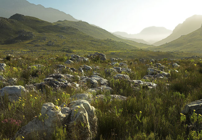
Kogelberg Nature Reserve
Lying within the southern extension of the Hottentots Holland Mountain range about 90 kilometres south-east of Cape Town and 8 kilometres from Kl...
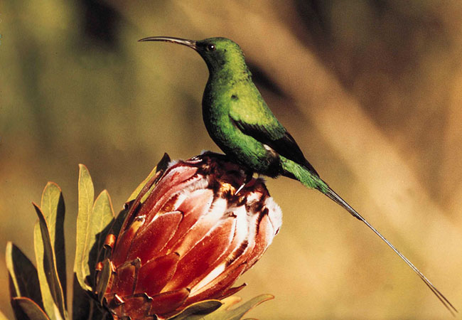
Harold Porter Botanical Gardens
The Harold Porter National Botanical Garden lies in the epicentre (heart) of the Cape fynbos region - a dedication to this natural shrubland vege...
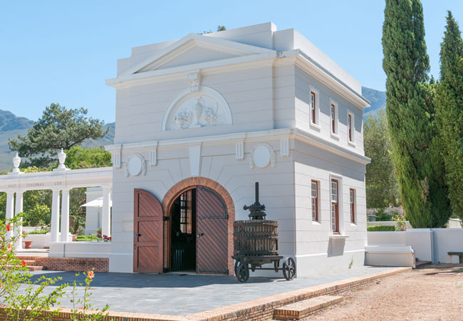
Huguenot Memorial Museum
The story of the Huguenot Memorial Museum is quite fascinating, and lends the building and its contents a certain charm and intrigue. In the 1700...
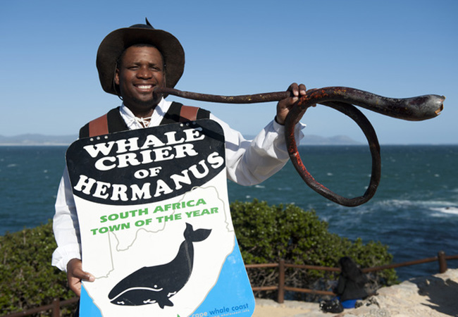
Hermanus Whale Crier
Hermanus on the Cape Whale Coast has its very own whale crier, and, what's more, Hermanus lays claim to the only whale crier in the world. The po...
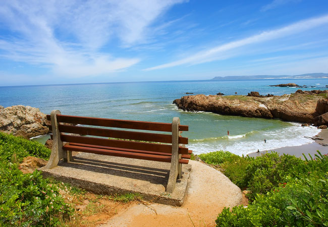
Hermanus Beaches
Where? +/-2 hours drive from Cape Town on the south coast of the Cape. Includes: Onrus Beach, Grotto Beach, Kammabaai and Langbaai Beach. Go ther...
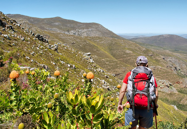
Hermanus Hiking Trails
While most visitors to Hermanus have many things to do on their itinerary, most involving the whales that have made this town famous, there are m...

Hermanus Golf Club
The course doesn't only challenge however, you are rewarded, hole after hole, with panoramic views that overlook the sparkling ocean and adding t...
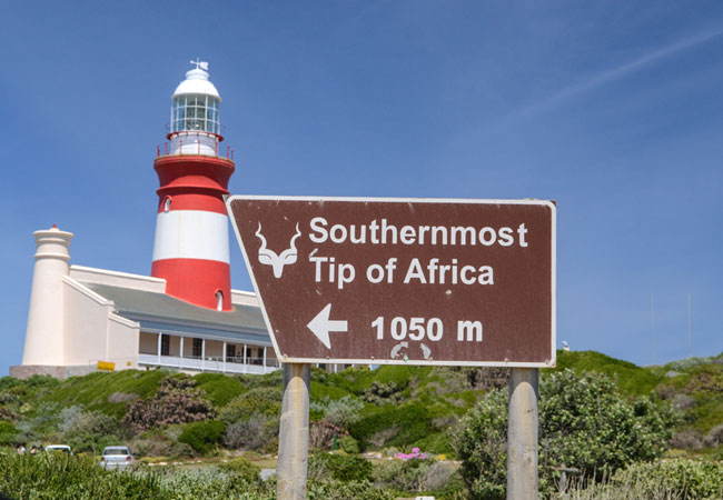
Agulhas National Park
Lying in what is known as the Agulhas Plain at the southernmost tip of Africa is the Agulhas National Park, just 45 kilometres from the popular v...
Anysberg Nature Reserve
In the heart of the Cape Fold Mountains, the natural abundance of the Anysberg Nature Reserve is situated in the Little Karoo of the Western Cape...
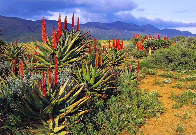
Western Cape as a destination
Why book with SA-Venues.com
- Your card is safe with us; strictest card verification in the industry and we don't store card numbers.
- No airy fairy service fees; you save!
- We care. Service with integrity.
- Multiple payment methods:
credit card, SID instant EFT, bank transfer. - All Western Cape property owners / managers are verified (our experience protects you from online fraud).
- Secure your booking
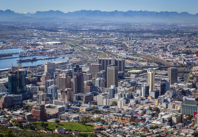 Cape Town
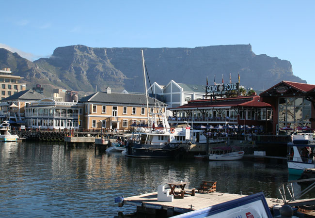 V&A Waterfront
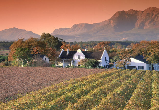 Cape Winelands
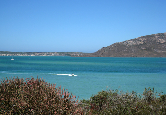 Langebaan
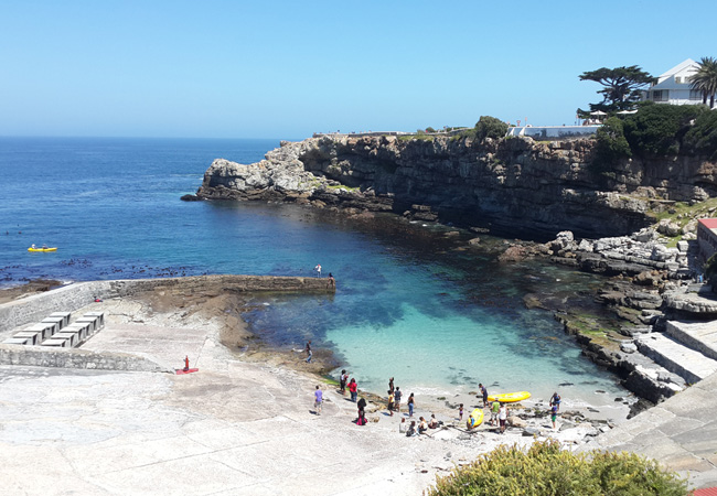 Hermanus
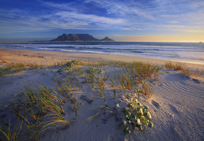 Blaauwberg
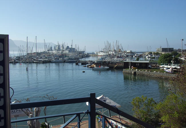 Simons Town
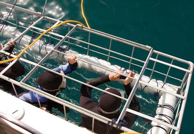 Gansbaai
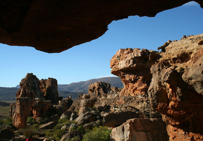 Cederberg
 Paternoster
 Constantia Valley
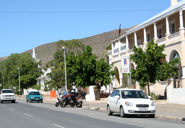 Prince Albert
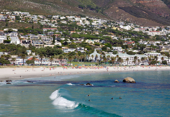 Camps Bay
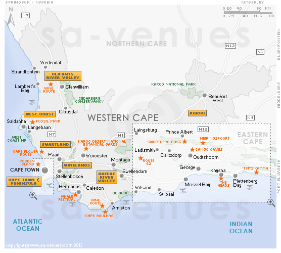