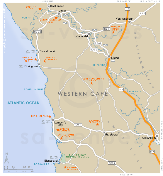
Map of Olifants River Valley, Western Cape
A detailed Olifants River Valley map indicating towns, national roads and attractions of the Olifants River Valley in the Western Cape. There are numerous delightful villages that offer warm hospitality to visitors. You can travel around the Olifants River Valley for days and never get bored. To find out more please visit Olifants River Valley Information.
Maps of the Western Cape
Provincial Maps
Street Level Maps
Western Cape Regions
Special Interests by Map
In the vicinity
Hotels & other accommodation options
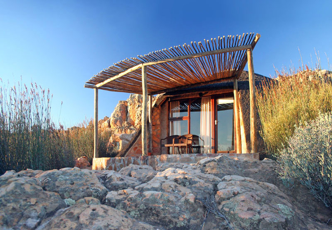
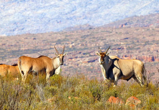
Kagga Kamma Nature Reserve
Kagga Kamma Nature Reserve is located in an untouched wilderness area near Ceres, renowned for its scenic beauty and dramatic rock formations typ...
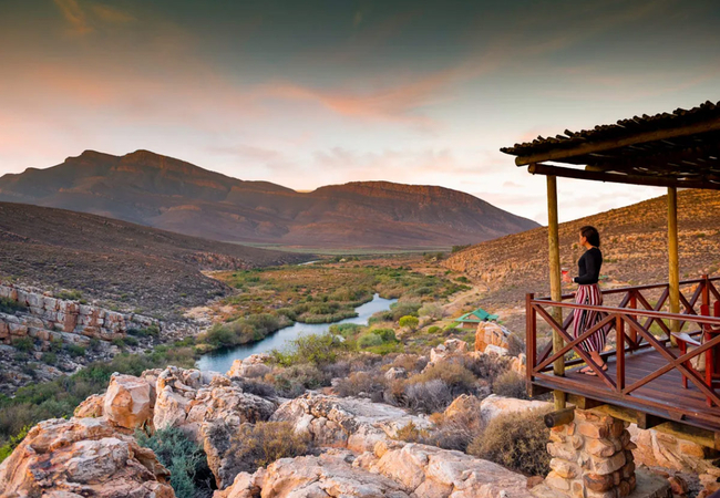
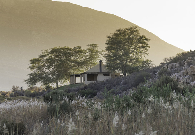
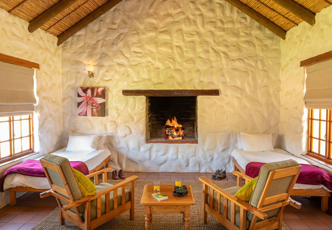
Klipbokkop House
Klipbokkop House at Mount Ceder offers Cederberg accommodation with a magnificent 360 degree view of the surrounding landscape. Mount Ceder lies ...
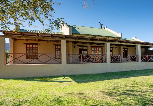
Blinkberg House
Blinkberg House offers Cederberg accommodation nestled on the slopes of Tuinskloof ridge at Mount Ceder. Mount Ceder which lies within easy reach...
Puntjie House
Puntjie House is situated at the end of the Tuinskloof ridge and offers Cederberg accommodation at Mount Ceder. It is a great wilderness area wit...
Taaibos House
Taaibos House sits next to the Groot River, enjoying a view over the river. Enjoy Cederberg accommodation at Mount Ceder, a great wilderness area...
Waboomhoek House
Waboomhoek offers Cederberg accommodation at Mount Ceder in a unique location close to large pools in the perennial Groot River. Mount Ceder lies...
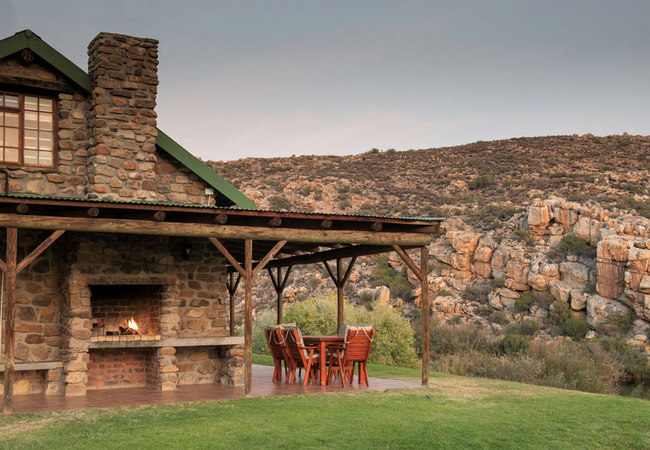
Kareeboom House
Kareeboom House offers Cederberg Accommodation at Mount Ceder and is located at the foot of the surrounding mountains. Nestled in a valley of the...
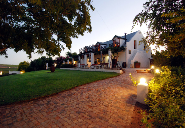
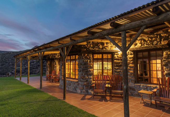
Melkboomsdrift Guest House
On the banks of the Olifants River Valley lies Melkboomsdrift Lodge, situated on a wine farm only 20 min from the West Coast. En-suite and self-c...
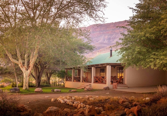
Kamferboom House
Kamferboom House offers Cederberg Accommodation at Mount Ceder and is within easy walking distance from the main reception and restaurant. Mount ...
Noteworthy attractions
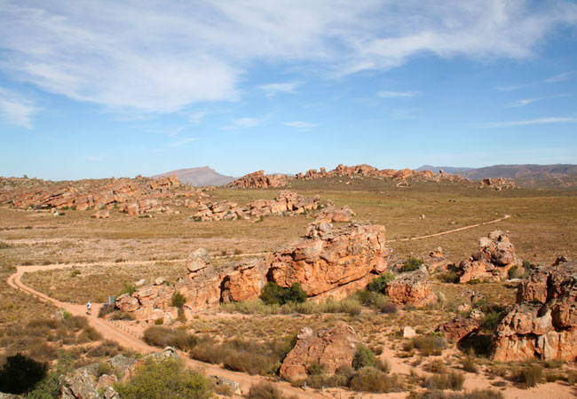
Groot Winterhoek Wilderness Area
Groot Winterhoek Wilderness area, with its extraordinary rock formations and popular hiking routes, lies about 120 km north of Cape Town in the W...
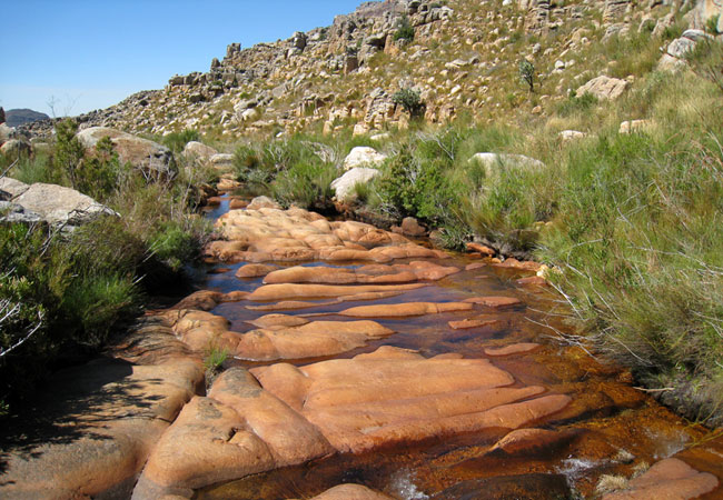
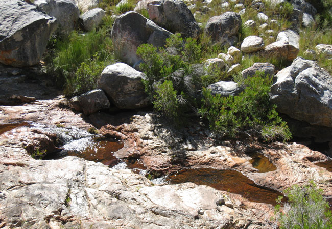
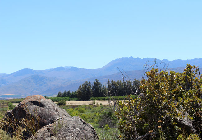
Cederberg Wilderness Area
The Cederberg Wilderness Area lies some 200 km north of Cape Town. This vast area stretches from the Middelberg Pass at Citrusdal to north of the...
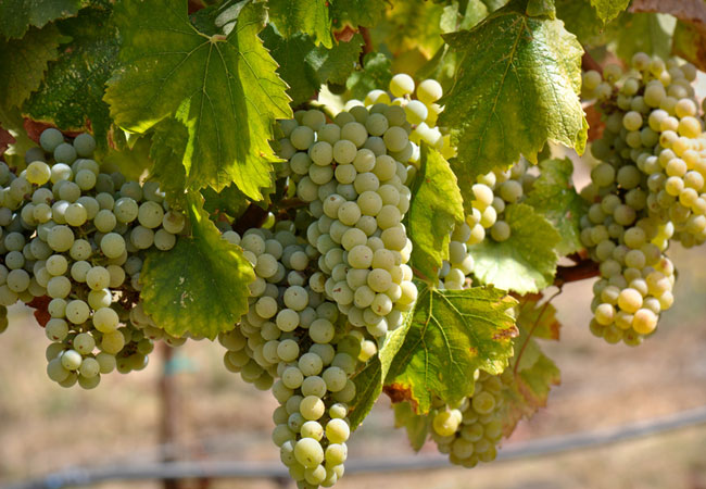
Olifants River Valley Wine Route
The Olifants River wine route starts at Citrusdal, 180 km outside of Cape Town and meanders along the river for 120 km until it reaches Lutzville...
Beaverlac Nature Reserve
This little talked about gem lies just 25 kilometres outside of Porterville, roughly 2 hours from Cape Town, in the Olifants River Mountains in t...
Bushmanskloof Wilderness
Bushmanskloof Wilderness, lying in the northern Cederberg wilderness roughly 270 kilometres from Cape Town, is a South African Natural Heritage S...
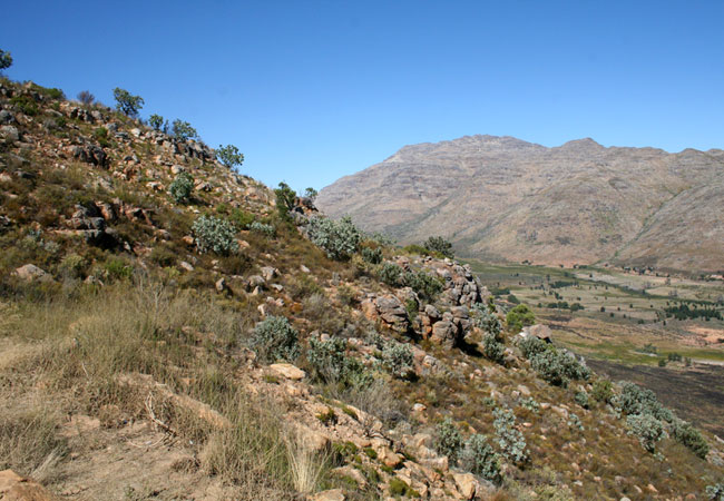
Matjiesrivier Nature Reserve
The beautiful Matjiesrivier Nature Reserve lies on the eastern edge of the Cederberg Mountains, managed as part of the greater Cederberg conserva...
Pakhuis Conservancy
Set on the northern edge of the Cederberg Wilderness area, roughly 300 kilometres from Cape Town and close to the town of Clanwilliam, the Pakhui...
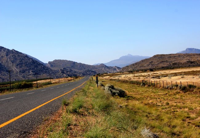
Katbakkies Pass
Katbakkies Pass has what is commonly known as a descriptive name. Others in the area include Houdenbek and Skitterykloof - although Skitterykloof...
Nieuwoudt Pass
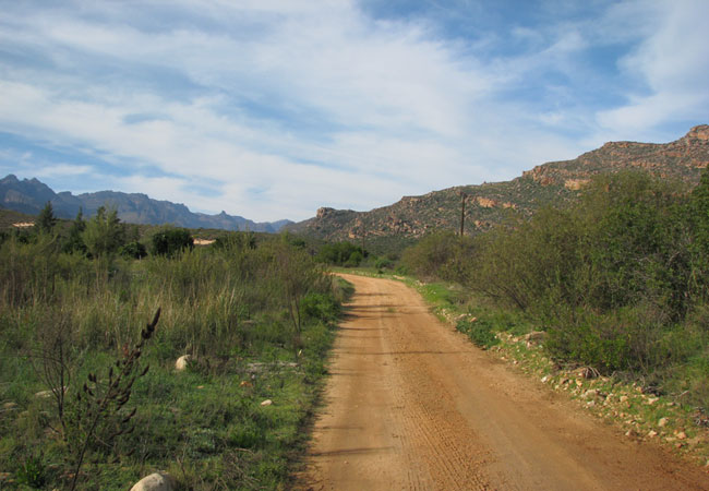
The Nieuwoudt Pass is a dirt road that occurs roughly halfway between Citrusdal and Clanwilliam, off the N7. It is actually an alternative route ...
Olifants River Valley as a destination
Why book with SA-Venues.com
- Your card is safe with us; strictest card verification in the industry and we don't store card numbers.
- No airy fairy service fees; you save!
- We care. Service with integrity.
- Multiple payment methods:
credit card, SID instant EFT, bank transfer. - All Olifants River Valley property owners / managers are verified (our experience protects you from online fraud).
- Secure your booking
Maps
Destination Olifants River Valley
- By type in the Olifants River Valley
- Olifants River Valley Accommodation
- Olifants River Valley Hotels
- Olifants River Valley Guest Houses
- Olifants River Valley Bed & Breakfast
- Olifants River Valley Self Catering
- & Holiday Apartments & Suites
- & Holiday Cottages & Chalets
- & Holiday Homes & Villas
- Olifants River Valley Conferences
- Olifants River Valley Weddings
- Olifants River Valley Honeymoons
- Destinations in the Olifants River Valley
- Cederberg, Klawer, Strandfontein, Vanrhynsdorp, Vredendal
- Resources for tourists
- About Olifants River Valley
- Things To Do
- Attractions