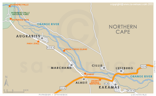
Map of Augrabies, Northern Cape
Augrabies detail and street level map showing landmarks of Augrabies. The little town of Augrabies that lies on the banks of the Orange River has been totally overshadowed by the Augrabies Falls National Park. Not only does it lie on the border of the park with which people assume it is synonymous, but very few people know that a town on the edge of the park that surrounds the renowned falls even exists. To find out more see Augrabies Attractions.
If you are interested in overnighting in the area, we can recommend some great accommodation options including hotels, guest houses and self-catering properties. If you're only planning on driving through Augrabies, en-route to another destination, you may want to peruse our Augrabies Restaurants before you leave to see if you should plan a stop here for lunch or maybe just a coffee. Also check out Augrabies Things To Do to see if there are any activities for which you would consider stopping.
Maps of the Northern Cape
Provincial Maps
Street Level Maps
Special Interests by Map
In the vicinity
Hotels & other accommodation options
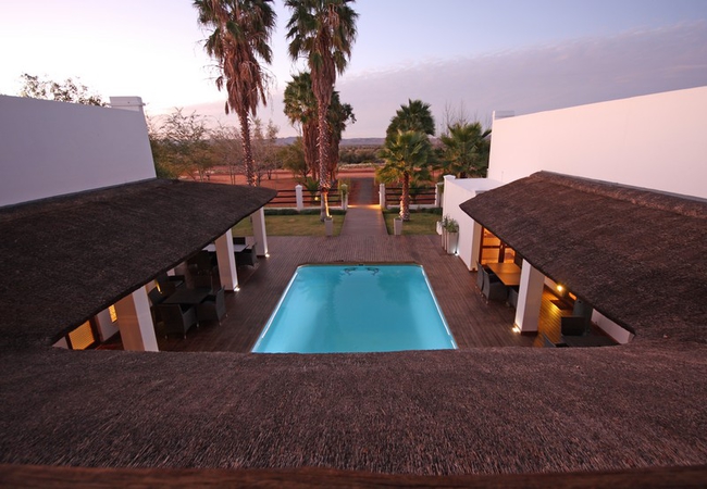
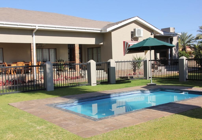
Dundi Lodge Augrabies Falls
Dundi Lodge is conveniently situated three km from the world famous Augrabies Falls and offers the discerning visitor Africa in all its untamed m...
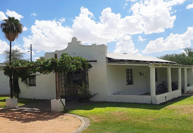
The Falls Guest House
Only 2km outside the Augrabies Falls National Park, enjoy peace and tranquillity in a beautiful guesthouse, surrounded by green vineyards and swe...
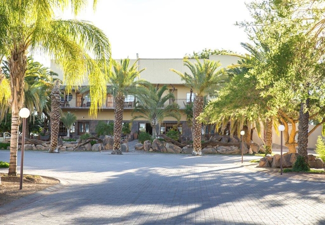
Kalahari Gateway Hotel
Kalahari Gateway Hotel in Kakamas is a modern hotel that offers luxury and outstanding service en route to the Namaqualand and 40km from the Augr...
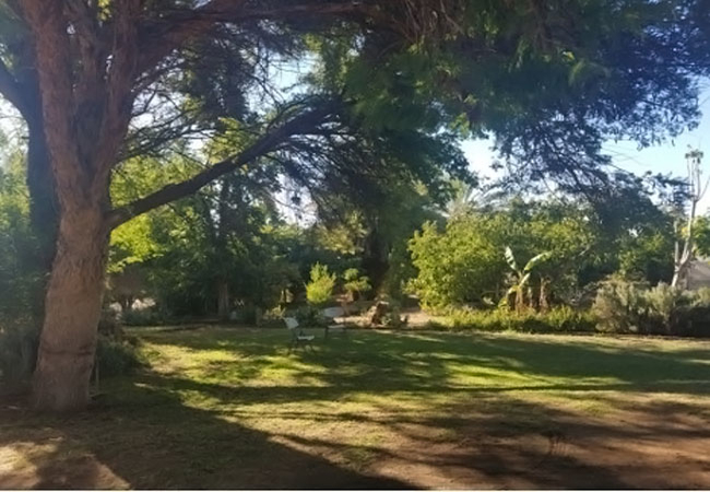
Orange River Guest Farm
Orange River Guest Farm is located on a smallholding in Augrabies, Northern Cape. The accommodation is within easy reach of shops, restaurants an...
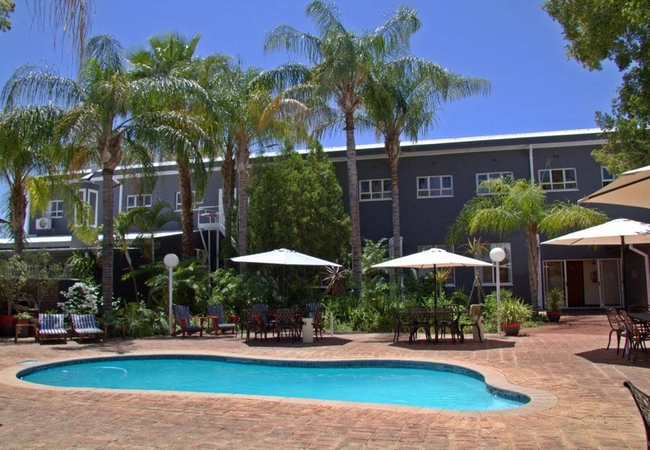
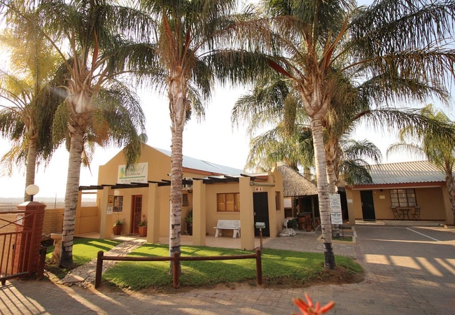
Kakamas Hotel
Kakamas Hotel is situated near Augrabies Falls, on the outskirts of Kakamas with a beautiful farm setting - overlooking the splendid vineyard of ...
Plato Lodge
Plato Lodge is situated 50km west from Augrabies Waterfalls Natural Park. It is ideal for the visitor who wants to explore the waterfalls at Augr...
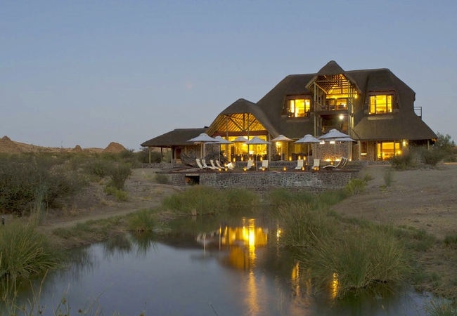
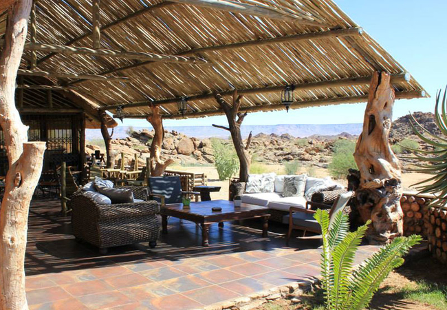
Tutwa Desert Lodge
Tutwa Desert Lodge is set on a 16 000 ha private game reserve in the heart of the Green Kalahari in the Northern Cape. With exclusive access to o...
Augrabies Falls Rest Camp
The Rest Camp offers accommodation in various chalets and cottages in the Augrabies Falls National Park. All of the units are self-catering and h...
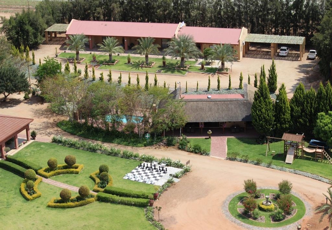
Palmhof Chalets
Palmhof Chalets welcomes you to the Orange River Valley in Kakamas, where vineyards, palm trees and citrus surround the area, the contrast route;...
Augrabies Falls Lodge
Augrabies Falls Lodge & Camps offers affordable accommodation within close proximity of the famous Augrabies Falls. Boasting lovely views of the ...
Augrabies Valle Guesthouse
Augrabies Valle Gastehuis is the nearest guesthouse to the Augrabies Falls offering spacious accommodation right on the border of Augrabies Falls...
Things to do in the area - see all in Green Kalahari
Dassie Trail Augrabies
Start: Augrabies National Park, rest campFinish: rest camp the trail is circularDuration: 5 kmFitness: moderateOur tip: if you are in the reser...
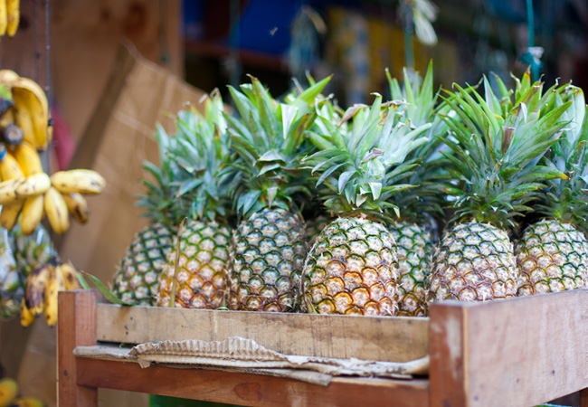
Desert Raisins Farm Stall
The Desert Raisins Farm Stall is ideally visited in the summer months when this quaint hilltop farm stall has an abundance of stock including gra...
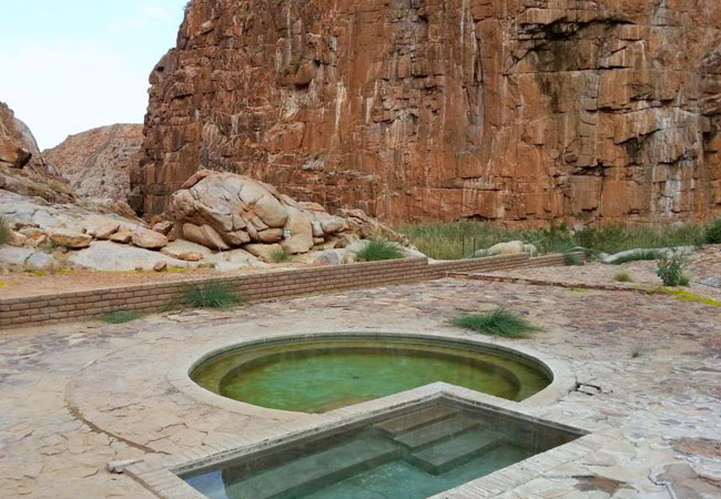
Riemvasmaak Hot Springs
Riemvasmaak is close to the Namibian border, secluded between the mighty Orange River and the Molopo River (which has dried up). It covers a mass...
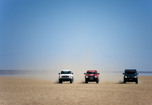
Daberas 4x4 Trail
Daberas Adventures is found on the South west border of Augrabies Falls National Park. There are lots of activities you can get involved in, such...
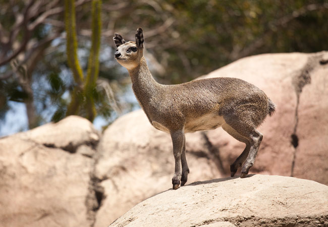
Klipspringer Hiking Trail
Start: Augrabies National Park, rest campFinish: rest camp (the trail is circular)Duration: 39.5 km, 3 daysFitness: fit, the trail is both demand...
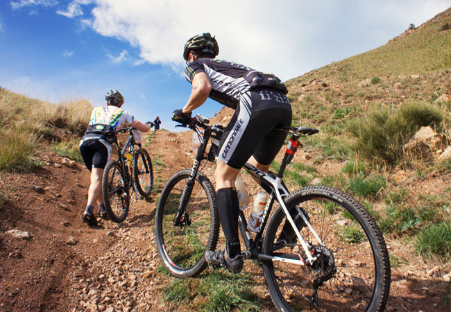
Khamkirri MTB Trails
Where: Khamkirri River Camp, near Kakamas in the Green Kalahari section of the Northern CapeLevel: easy to difficultType of route: varied; betwee...
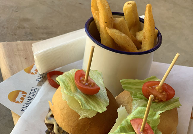
Riverside Kitchen & Restaurant
Khamkirri is all about celebrating the outdoors and creating a beautiful place for families to be together along the Orange River. So, its no su...
Noteworthy attractions - see all in Green Kalahari
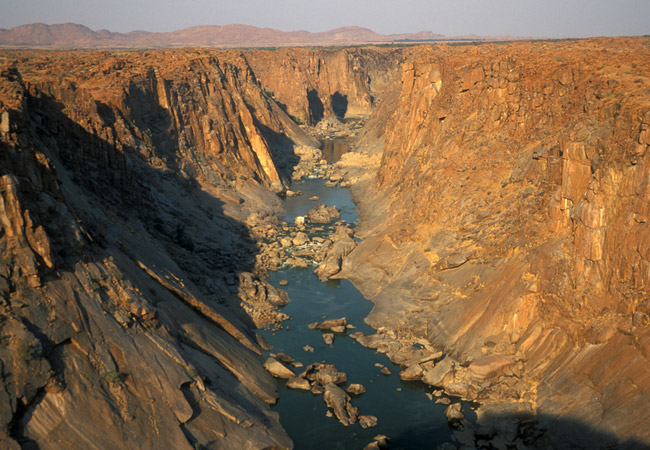
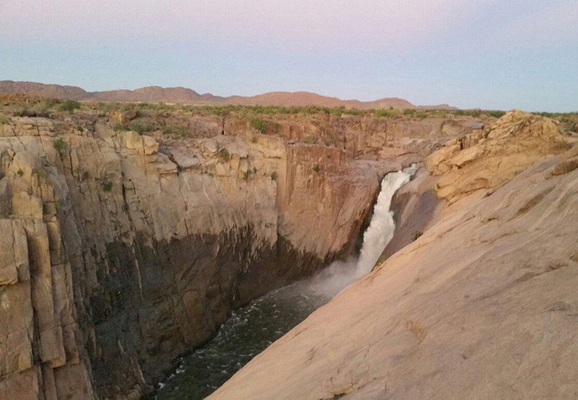
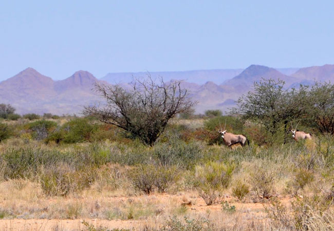
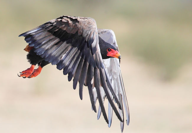
Augrabies Falls National Park
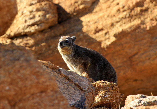
The Khoi people called it 'Aukoerebis', the place of the Great Noise, referring to the Orange River thundering its way downwards for 60 metres in...
Spitskop Nature Reserve
The Spitskop Nature Reserve was named after Spitskop, an impressive granite koppie just outside the small town of Upington. Consisting mainly of ...
Witsand Nature Reserve
The Witsand (White Sands) Nature Reserve is a 2 500 hectares island of brilliant white sands surrounded by a sea of regular Red Kalahari sand. Al...

Upington Golf Club
Situated just outside of Upington on the N14 road to Johannesburg and Olifantshoek, next to Desert Palace Casino, is the Upington Golf Course. Th...
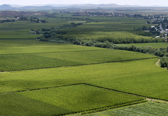
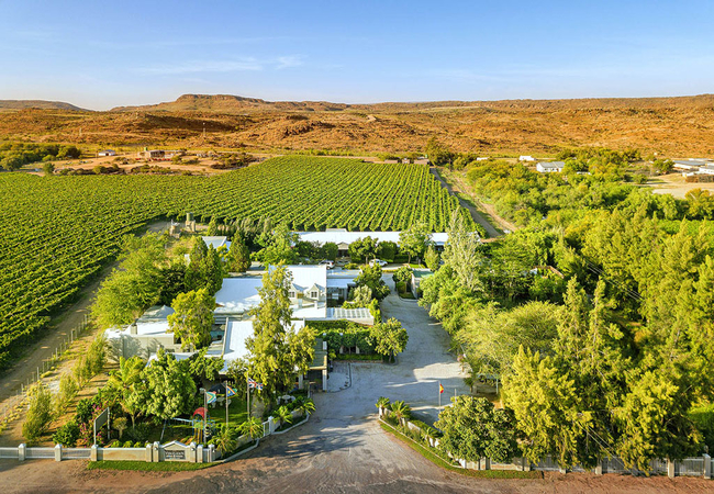
Orange River Wine Route
In a part of South Africa that is, for all intents and purposes, practically desert, one does not expect to find a wine route. But the Orange Riv...

Northern Cape Wine Estates
With a completely different climate to the Cape Winelands, the Northern Cape produces a number of ranges of wines that boast unique flavours. The...
Riemvasmaak Community Conservancy
North west of the town of Kakamas and bordering the Augrabies National Park is the Riemvasmaak Community Conservancy - 75 00 hectares of land bet...
Hakskeen Pan
Hakskeen Pan is a dry lake bed, and the world's largest unworked saltpan. It lies way up in the far north west of the Northern Cape, 300 km from ...
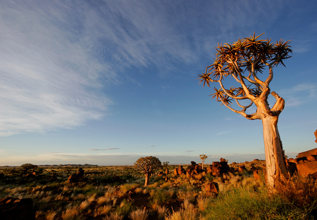
Kokerboom Food and Wine Route
The Kokerboom, or quiver tree, is one of the most idiosyncratic trees of the Kalahari (South Africa and Namibia). Also known, in scientific circl...
Find accommodation in Augrabies
FIND / South Africa Accommodation / Northern Cape Accommodation / Green Kalahari Accommodation / Augrabies Accommodation
Augrabies as a destination
Why book with SA-Venues.com
- Your card is safe with us; strictest card verification in the industry and we don't store card numbers.
- No airy fairy service fees; you save!
- We care. Service with integrity.
- Multiple payment methods:
credit card, SID instant EFT, bank transfer. - All Augrabies property owners / managers are verified (our experience protects you from online fraud).
- Secure your booking
Maps
Destination Augrabies
- By type in Augrabies
- Augrabies Accommodation
- Augrabies Hotels
- Augrabies Guest Houses
- Augrabies Bed & Breakfast
- Augrabies Self Catering
- & Holiday Apartments & Suites
- & Holiday Cottages & Chalets
- & Holiday Homes & Villas
- Augrabies Conferences
- Augrabies Weddings
- Augrabies Honeymoons
- Destinations near Augrabies
- Danielskuil, Kakamas, Kanoneiland, Keimoes, Postmasburg, Upington
- Resources for tourists
- About Augrabies
- Things To Do
- Attractions
- Reviews