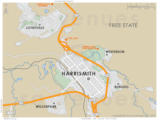
Map of Harrismith, Free State
Harrismith detail and street level map showing the suburbs of Harrismith and some landmarks, including the location of the Harrismith Golf Course and the Harrismith Airfield. For additional information about Harrismith please visit Harrismith Information.
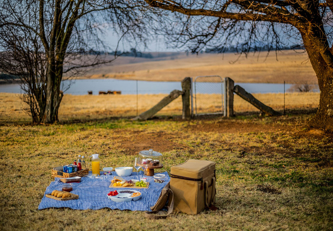
If you are interested in overnighting in the area, we can recommend some great accommodation options including hotels, guest houses and self-catering properties. If you're only planning on driving through Harrismith, en-route to another destination, you may want to peruse our Harrismith Restaurants before you leave to see if you should plan a stop here for lunch or maybe just a coffee. Also check out Harrismith Things To Do to see if there are any activities for which you would consider stopping.
Maps of the Free State
Provincial Maps
Street Level Maps
Special Interests by Map
In the vicinity
Hotels & other accommodation options
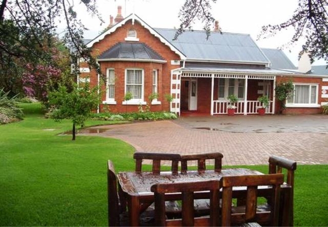
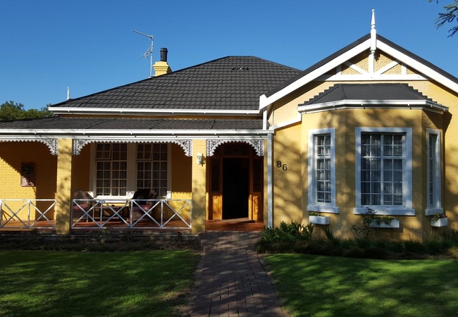
Tom's Place Guesthouse
Tom's Place Guesthouse offers guest rooms and cottages, and is located in the town of Harrismith. The guest house is ideally situated nearby the ...
La La Nathi Country Guest House
La La Nathi is the ideal accommodation stopover choice, situated on the N3 just outside the historic town of Harrismith in the Eastern Free State...
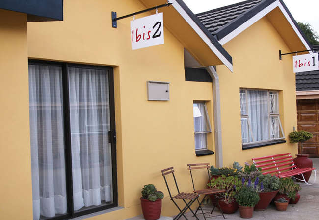
Ibis Self Catering Unit
Located in the town of Harrismith, Ibis offers accommodation in one bedroom with twin beds and a bathroom with a shower. The open plan living roo...
Greensleeves Guesthouse
At Greensleeves you can enjoy our warm hospitality in a home away from home environment. Your hosts are Alet and Petrus. Equidistant from Durban,...
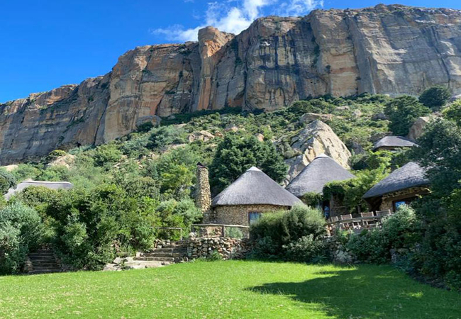
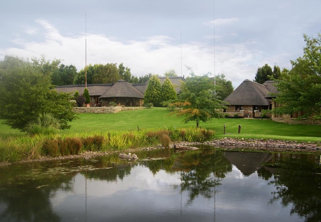
Buffalo Hills Mountain Lodge
Buffalo Hills Mountain Lodge provides accommodation in Harrismith in five chalets that may only be booked for exclusive use. The chalets are atta...
Shady Pines Guest House
Equidistant from Durban, Johannesburg and Bloemfontein, this beautiful home is situated in spacious gardens with full views of Platberg. Shady Pi...

Africlassic Guest House
Africlassic Guest House in Harrismith offers bed only accommodation in a lovely location. From here you can enjoy fresh mountain air and stunning...
Lali's Guest House & Tea Garden
Situated at the foot of Platberg in the peaceful town of Harrismith, we offer accommodation in a safe, peaceful and luxurious midway stop between...
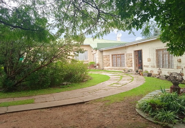
Rheola's Guest Cottage
Rheola's Guest Cottage offers accommodation in a quiet and peaceful suburban area in the quaint town of Harrismith. The fully equipped 2 bedroom ...
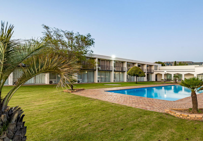
Harrismith Inn
Harrismith Inn is a roadside inn located on the N3, halfway between Johannesburg and Durban. The hotel has superb views of the Platberg mountains...
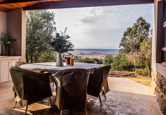
Beauchef Farm House
Beauchef Farm House accommodates 13 guests in four bedrooms. The lounge, which has a cosy fireplace, is comfortably furnished and includes a slee...
Buffalo Hills Fishing Cottage
Buffalo Hills Fishing Cottage is located at Buffalo Hills Private Game Reserve which is situated about 30km south of Harrismith near the Sterkfon...
Things to do in the area - see all in Thabo Mofutsanyana
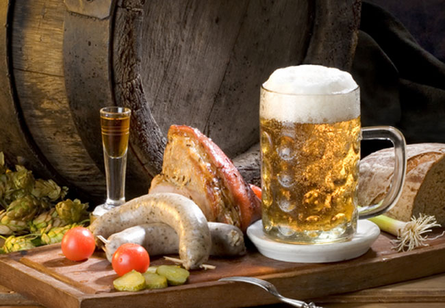
The Hound and Hare
If you are a fan of pub grub then you might want to plan a trip to Durban if you live in Jozi or vice versa if you live in Durbs. You dont need ...
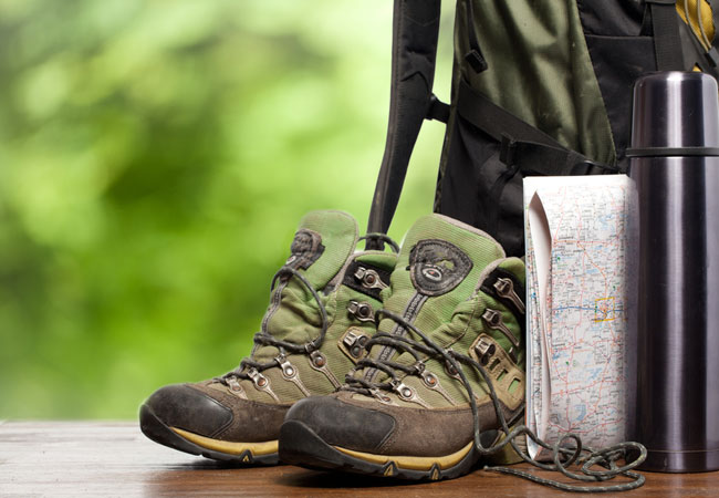
Bald Ibis Trail
Start: 25km outside of Harrismith at base camp Finish: base campDuration: 2 days with a total of 27 kmFitness: moderate, although the firs...
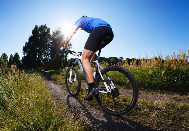
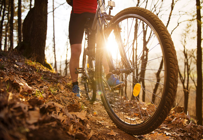
Aansluit MTB Trails
Where: Aansluit Landgoed, Verkykerskop, Harrismith, Free StateLevel: intermediateType of route: rolling terrain and stunning views; 30 km worth o...
Maluti Cave Hike
Start: base camp at Tseki, Phuthaditjaba (Witsieshoek)Finish: TsekiDuration: two, three, four day optionsFitness: moderate to difficultOur tip: t...
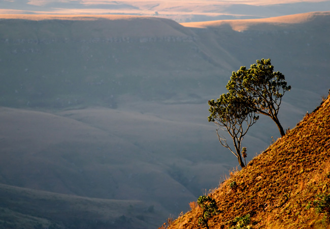
Platberg Nature Reserve MTB Route
Where: on Platberg Mountain, a landmark on the border between KwaZulu-Natal and the Free State; closest town HarrismithLevel: difficult, children...
Noteworthy attractions - see all in Thabo Mofutsanyana
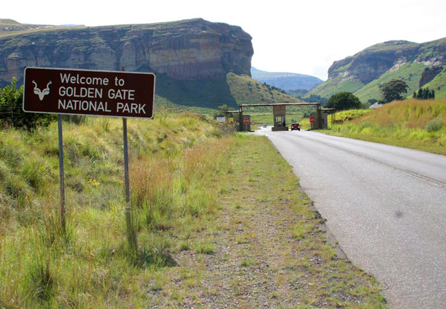
Golden Gate National Park
Nestled in the rolling foothills of the Maluti Mountains of the north-eastern Free State lies the Golden Gate Highlands National Park. The park d...
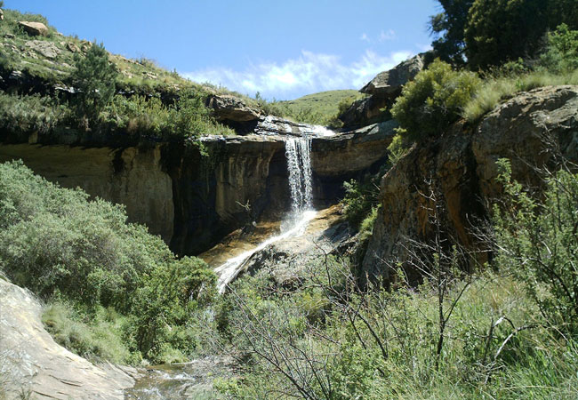
Sterkfontein Dam Reserve
Rugged, steep krantzes silhouetted against the skyline, mountain slopes snugly covered with a grass blanket, deep lushly vegetated kloofs and a c...
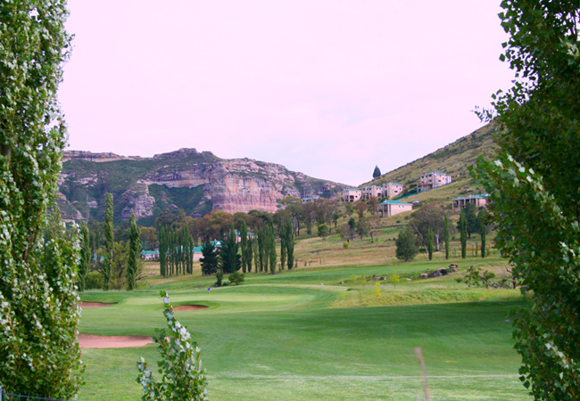
Clarens Golf Estate
The par 71 golf course, designed and constructed by Golf Data, is bound to excite every level of golfer. All 18 holes meander along and across th...
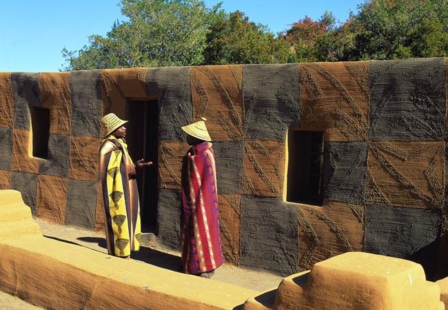
Basotho Cultural Village
A visit to the Basotho Cultural Village which nestles at the foot of huge sandstone mountains, will give you a deeper insight into the lifestyle ...

Bethlehem Golf Club
The Bethlehem Golf Course is a Par 71 (W69), 18 hole golf course located in the lovely town of Bethlehem in the Free State. Facilities at Bethleh...

Harrismith Country Club
The Harrismith Country Club is a wonderfully kept course in the humble town of Harrismith. The golf course, famously known for being the third ol...
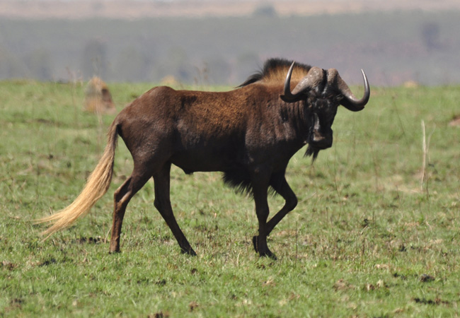
Mount Everest Game Reserve
The privately owned Mount Everest Game Reserve is set in a particularly scenic part of the Free State close to the town of Harrismith and, despit...
Clarens Village Conservancy
The Clarens Village Conservancy (CVC) is a group of people, homeowners and businesses who together look after the town's natural resources - land...
Normandien Pass
The Normandien Pass links Memel in the Free State with Newcastle in KwaZulu-Natal. The pass is gravel that by all accounts has seen better days, ...
Find accommodation in Harrismith
FIND / South Africa Accommodation / Free State Accommodation / Thabo Mofutsanyana Accommodation / Harrismith Accommodation
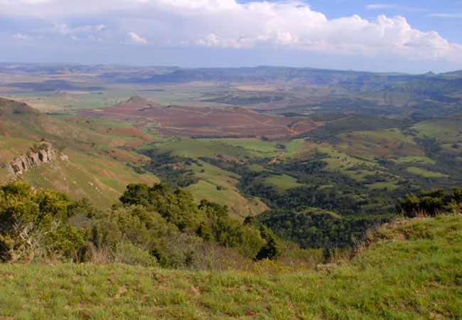
Harrismith as a destination
Why book with SA-Venues.com
- Your card is safe with us; strictest card verification in the industry and we don't store card numbers.
- No airy fairy service fees; you save!
- We care. Service with integrity.
- Multiple payment methods:
credit card, SID instant EFT, bank transfer. - All Harrismith property owners / managers are verified (our experience protects you from online fraud).
- Secure your booking
Maps
Destination Harrismith
- By type in Harrismith
- Harrismith Accommodation
- Harrismith Hotels
- Harrismith Guest Houses
- Harrismith Bed & Breakfast
- Harrismith Self Catering
- & Holiday Apartments & Suites
- & Holiday Cottages & Chalets
- & Holiday Homes & Villas
- Harrismith Conferences
- Harrismith Weddings
- Harrismith Honeymoons
- Destinations near Harrismith
- Bethlehem, Clarens, Clocolan, Ficksburg, Fouriesburg, Kestell, Ladybrand, Memel, Paul Roux , Phuthaditjhaba, Rosendal, Senekal, Van Reenen, Vrede, Warden
- Resources for tourists
- About Harrismith
- Things To Do
- Attractions
- Reviews