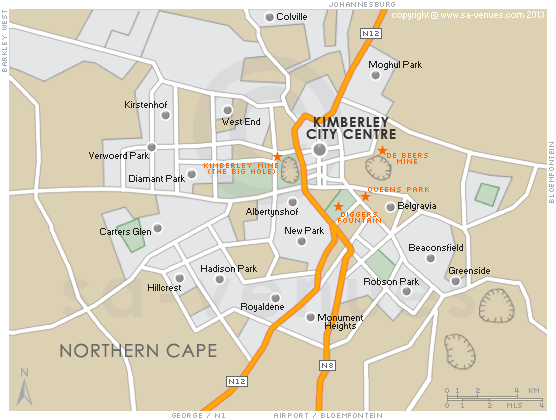
Map of Kimberley, Northern Cape
Kimberley detail and street level map showing the suburbs, major attractions and landmarks of Kimberley including the location of the famous "Big Hole", Diggers Fountain and De Beers Mine. Kimberley, the capital of the Northern Cape, is a perfect detour on the N12, just off the N1, that functions as an alternative route between Cape Town and Johannesburg. To find out more see Kimberley.
If you are interested in overnighting in the area, we can recommend some great accommodation options including hotels, guest houses and self-catering properties. If you're only planning on driving through Kimberley, en-route to another destination, you may want to peruse our Kimberley Restaurants before you leave to see if you should plan a stop here for lunch or maybe just a coffee. Also check out Kimberley Things To Do to see if there are any activities for which you would consider stopping.
Maps of the Northern Cape
Provincial Maps
Street Level Maps
Special Interests by Map
In the vicinity
Hotels & other accommodation options
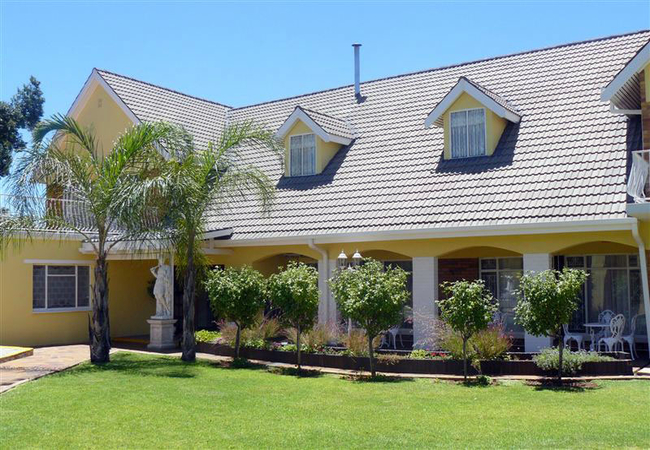
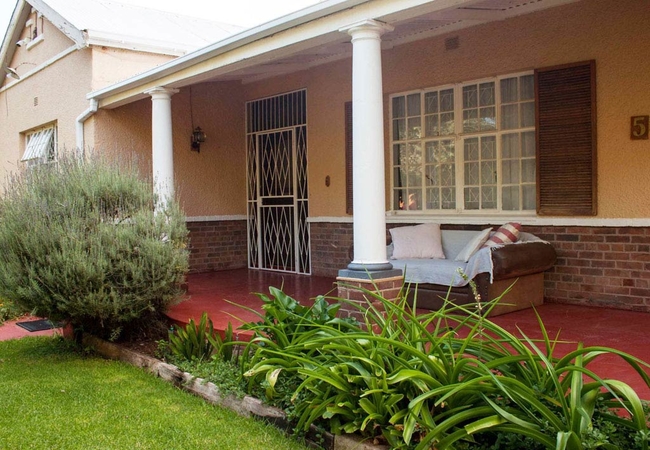
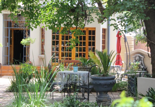
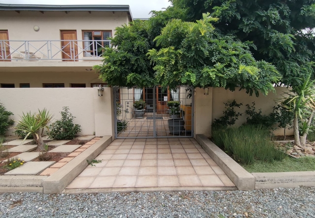
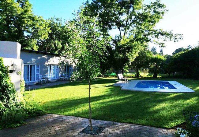
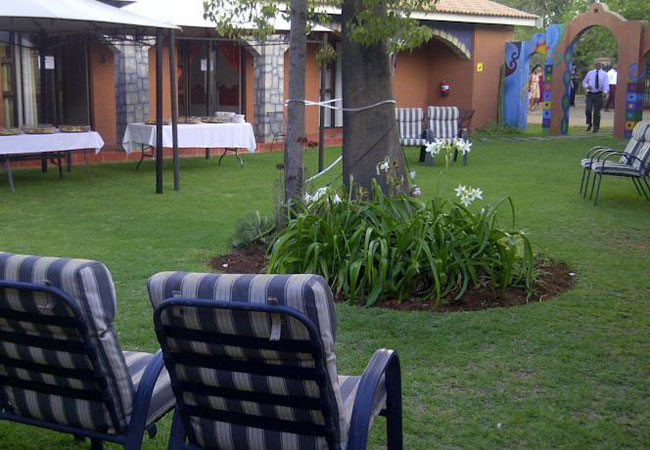
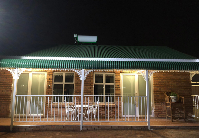
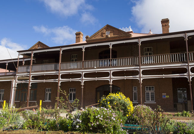
Kimberley Manor Guesthouse
Experience the tranquility, comfort and personal attention, found at our Luxurious accommodation, nestled in the heart of the "Diamond City". Her...
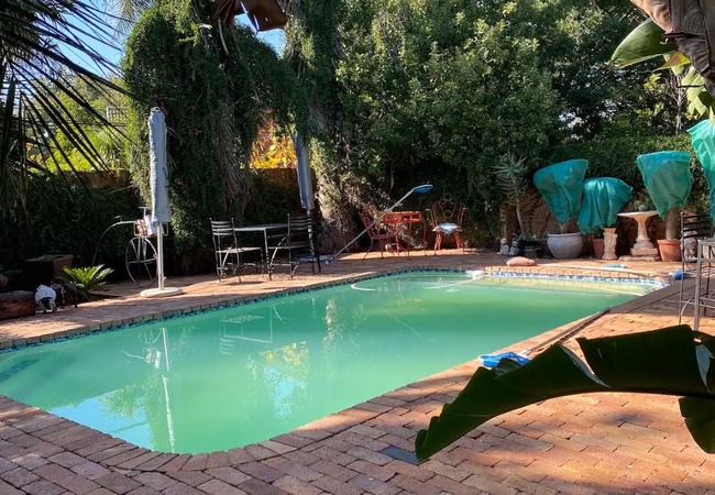
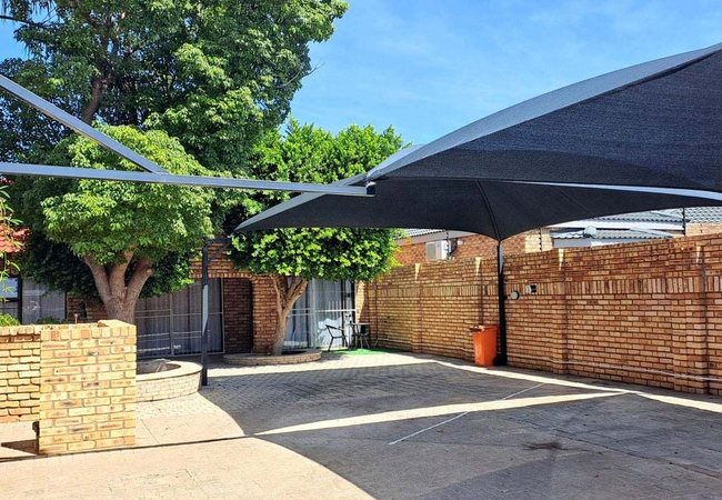
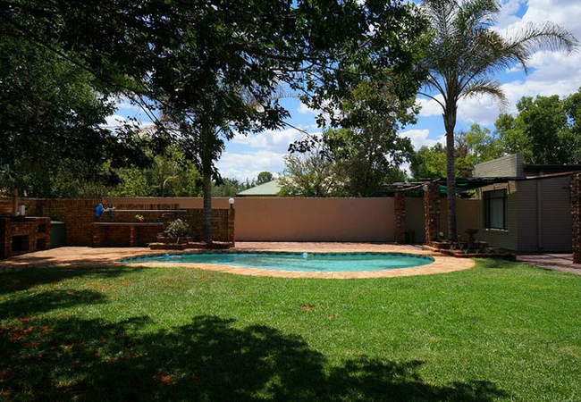
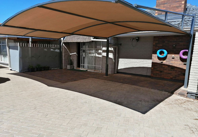
Midway Overnight Rooms
Midway Overnight Rooms, a property with a garden, braai area and a terrace, is set in Kimberley, a short drive from the Kimberley Mine Museum. Th...
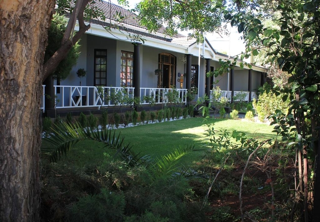
Mein Heim Estate
Mein Heim is a beautiful farm only 15 minutes drive from the Kimberley city centre. This accommodation in the Kimberley area also offers pony rid...
Paljas en Kandas
Paljas en Kandas is a Kimberley guest house situated in a quiet and safe neighbourhood. The guest house offers clean, comfortable and secure acco...
Padlangs Self Catering
Padlangs Self Catering offers comfortable self-catering accommodation in Kimberley. The establishment is close to all the major attractions of th...
Cygnature Boutique Lodge
Cygnature Boutique Lodge offers accommodation on the Magersfontein Memorial Golf Estate in the lovely area of Modderrivier. Each room is equippe...
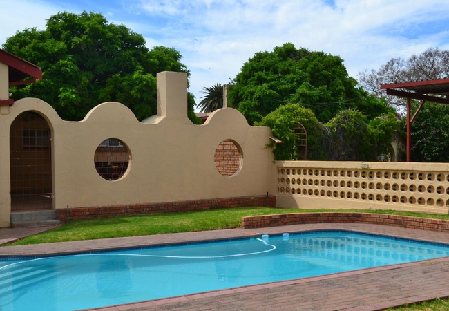
Oak Rest Bed & Breakfast
Oak Rest offers luxury accommodation, great hospitality and a wonderful atmosphere under a large oak tree in Kimberley. Accommodation is offered ...
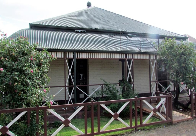
Cecil John Rhodes Guest House
Experience the wealth and luxury of yesteryear at this historical property built in 1895. Accommodation ids offered in seven elegantly decorated ...
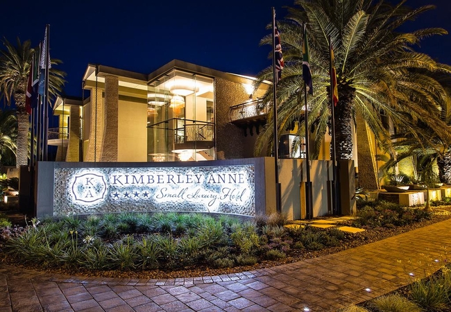
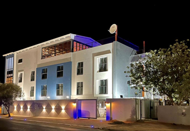
Kimberley Anne Small Luxury Hotel
Kimberley Anne Small Luxury Hotel has accommodation where you can be at home in an exquisite work of art. All the suites have been designed with ...
The Nook B&B
The Nook B&B is an establishment in Kimberley. Accommodation is offered on a bed and breakfast basis. There are five en-suite rooms which each sl...
Agros Guest House
Agros Guest House offers top-notch hospitality, ensuring you'll be well taken care of during your stay. The en-suite rooms are equipped with air ...
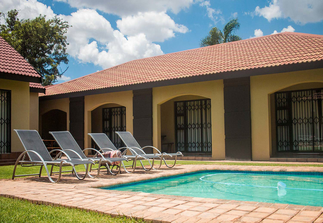
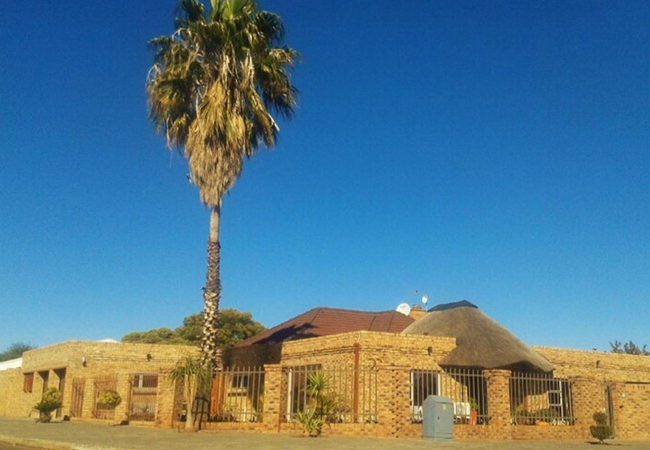
Marrick Safari
Nestled in 3000 hectares of unspoilt savannah thornveld close to Kimberley, Marrick Safari offers accommodation in fully equipped cottages. The b...
Rene's Guesthouse
Rene's offers luxurious and comfortable accommodation for both travellers, businessmen and those looking for a fabulous getaway. Situated in Doug...
Fancy Yellow Guest House
Fancy Yellow Guest House is an upmarket property offering fine accommodation in a quiet area in Kimberley. Of the eight rooms available, there ar...
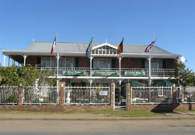
Victorian Guest Lodge
The Victorian style guest lodge provides Bed & Breakfast accommodation for business executives, holiday makers, local and international tourists ...
The Last Eve Guesthouse
The Last Eve Guesthouse offers accommodation in Douglas in the Northern Cape. The small town of Douglas lies halfway between Kimberley and the to...
Hillcrest Hosting
Hillcrest Hosting offers cosy overnight accommodation in Kimberley in two rooms located on the owner's property in Hillcrest. The property is ide...
Nare Boutique Hotel
Situated 700m from The Big Hole, Nare Boutique Hotel features accommodation with a restaurant, parking, a bar and a shared lounge. The hotel has ...
Hadida Guest House
Hadida Guest House offers comfortable, private self-catering accommodation (breakfast on request) in fully equipped, self-contained units, conven...
Mc Kala Guest House
Guests enjoy a friendly reception and neat clean accommodation at Mc Kala Guest House. Rooms are equipped with comfortable beds, flat screen TVs,...
New Rush Guesthouse
New Rush Guesthouse offers guests accommodation where they can experience the Diamond City as it was 100 years ago. Experience luxurious lodging ...
Sleep Tight Guesthouse
Sleep Tight Guesthouse offers comfortable accommodation in Kimberley. Each one of our double rooms has a King-size bed and an en-suite bathroom w...
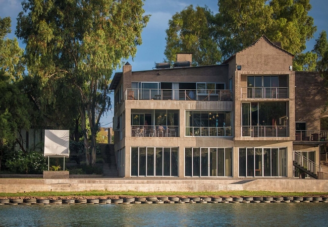
Broadwater River Estate
Endless water views, the call of the fish eagle, breathtaking sunsets and champagne under a starry sky. Broadwater is a private river escape that...
Villa Mexicana Guesthouse
Villa Mexicana in Kimberleyoffers modern, spacious accommodation ideally situated for both business or leisure travellers. Villa Mexicana offers ...
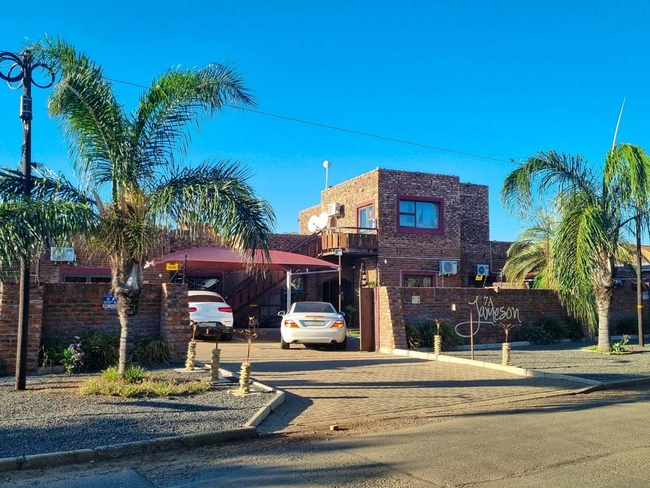
7A Jameson Guesthouse
7A Jameson Guesthouse offers a charming and affordable accommodation for travelers visiting Kimberley. The guesthouse features seven well-appoint...
Purple Steps Guest House
Introducing Purple Steps Guest House offers Kimberley accommodation in Royldene, Here you can expect a warm 'Home Away From Home' experience. The...
The Solomon
Located on Solomon Street, The Solomon offers accommodation in tastefully converted and furnished with high quality fixtures and fittings, The So...
Caledon Overnight Rooms
Located 3.1km from The Big Hole, Caledon Overnight Rooms provides accommodation with an outdoor swimming pool, private parking, a shared lounge, ...
Halfway House Hotel
The Halfway House Hotel, Kimberley is situated on the Belgravia historic route and offers guests visiting the "Diamond City" accommodation in a c...
Things to do in the area - see all in Diamond Fields
Big Hole and Kimberley Mine Museum
One of Kimberley's major attractions, the Big Hole and Kimberley Mine Museum, was once a flat-topped hill and is now an awesome hole - the larges...
McGregor Museum
The McGregor Museum was officially founded on the 24th September 1907 when the title deeds were handed over to the Management Committee. Prior to...
Belgravia Historic Walk
The historic suburb of Belgravia plays host to 33 of the Kimberleys' most historical sites. Much of the Kimberley's opulent lifestyle of days gon...
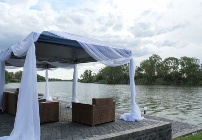
Die Pont Restaurant
Experience more than delicious food ... Broadwater is a private River Escape that nestles on the banks of the Vaal River near Kimberley the town ...
Sunset Cruises on Davaria
DaRiva Houseboat is the idyllic place to relax with comfortable accommodation and a fully equipped kitchen (fridge, freezer, stove, hot water). T...
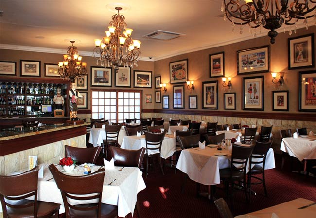
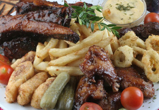
Annabell's Restaurant
Annabell's restaurant is a pleasant surprise; this fine dining eatery delivers great quality fare with all the trimmings. We strive to make dinin...
William Humphreys Art Gallery
The William Humphreys Art Gallery opened in 1952 was named after its principal benefactor, William Benbow Humphreys and is located in Kimberley's...
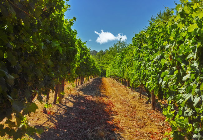
Hartswater Wine Cellar
The Hartswater Wine Cellar is a 120km drive from Kimberley in the Northern Cape.The cellar first produced wine in 1977, this was when the first g...
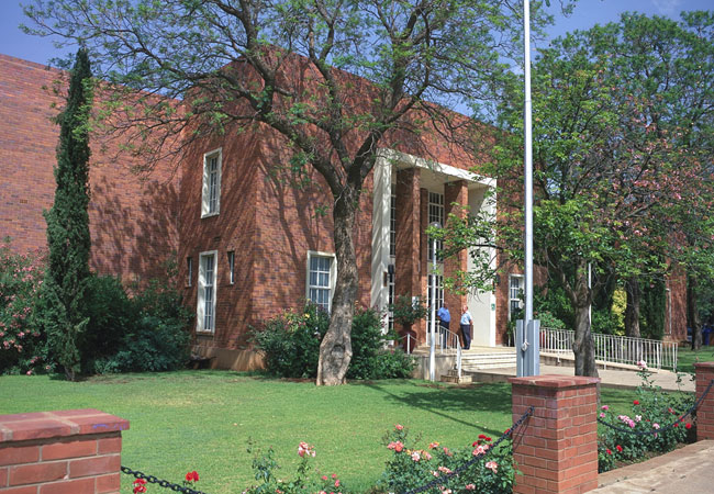
Kimberley Town Hall
When visiting Kimberley make sure you take a turn past the town hall. The architecture alone is stunning. This beautiful building was constructed...
Noteworthy attractions - see all in Diamond Fields

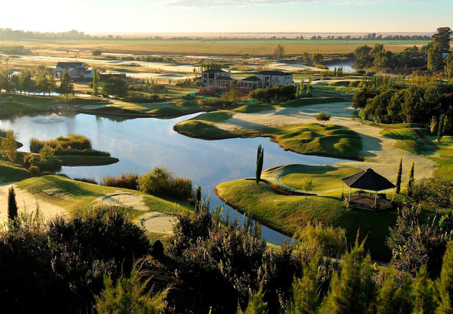
Kimberley Golf Club
With its famous 'Big Hole' where adventurous prospectors dug for diamonds, the town of Kimberley is steeped in history - and so too is the Kimber...
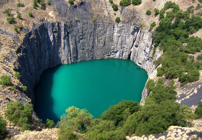
The Big Hole
Kimberley developed around this huge hole in the ground, formerly a small hill known as Colesberg Koppie, where diamonds were discovered early in...
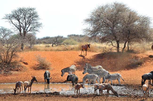
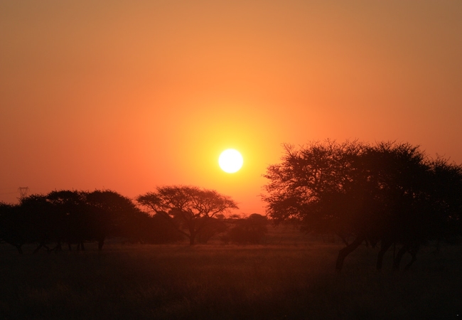
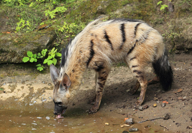
Mokala National Park
Mokala is one of South Africa's newest National Parks, situated approximately 80km south-southwest of Kimberley, and west of the N12 freeway to C...
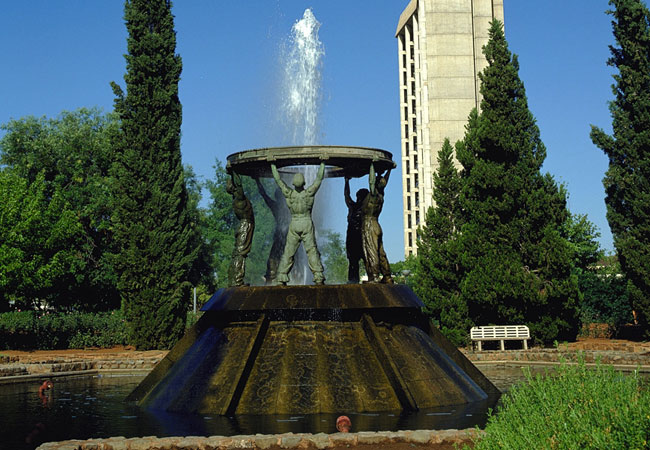
Diggers' Memorial
The Diggers' Memorial depicts five life-sized miners holding up a diamond sieve, high above their heads. Their strength and power is seen as they...
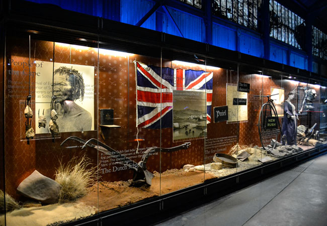
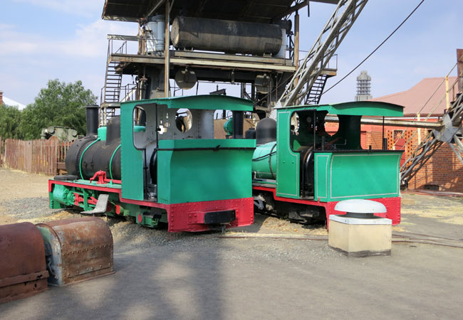
Kimberley Mine Museum
Situated next to The Big Hole, this open-air museum (one of the finest in the world) depicts Kimberley in its Victorian heyday during the diamond...
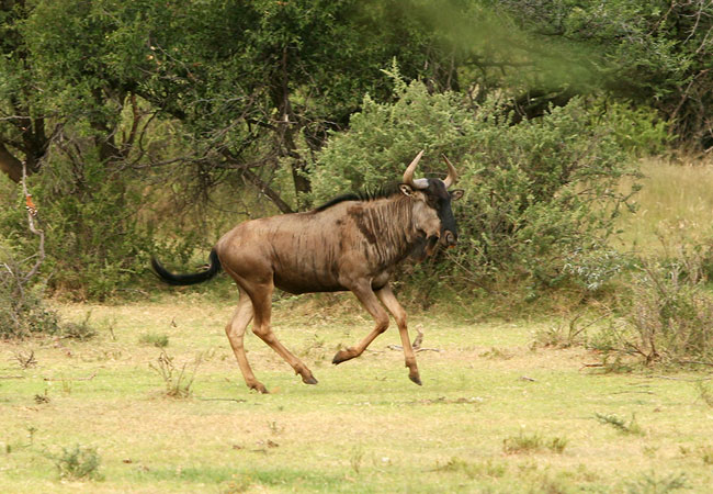
Benfontein Nature Reserve
Benfontein Nature Reserve, which lies near Kimberley in the Northern Cape, roughly 430km from Johannesburg, is the one place in the country where...
Dronfield Nature Reserve
Lying just off the N12, a mere 10km north of Kimberley, Dronfield Nature Reserve is on the De Beers Diamond Route. The game farm is a favourite w...
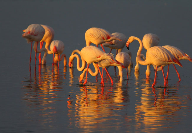
Kamfers Dam
Kamfers Dam is particularly significant for its being one of the very few breeding sites for the Lesser Flamingo, which is smaller and paler than...
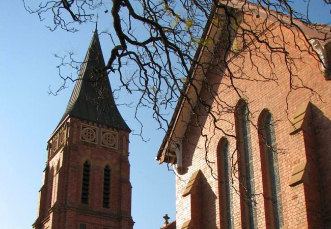
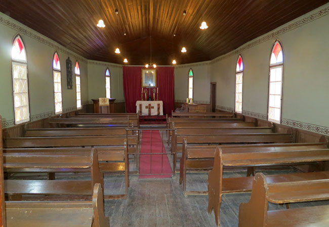
St Cyprian's Anglican Cathedral
This understated old parish dates back to 1871 when the congregation met in diggers' camps in the nearby New Rush on the Diamond Fields, later ca...
Find accommodation in Kimberley
FIND / South Africa Accommodation / Northern Cape Accommodation / Diamond Fields Accommodation / Kimberley Accommodation
Kimberley as a destination
Why book with SA-Venues.com
- Your card is safe with us; strictest card verification in the industry and we don't store card numbers.
- No airy fairy service fees; you save!
- We care. Service with integrity.
- Multiple payment methods:
credit card, SID instant EFT, bank transfer. - All Kimberley property owners / managers are verified (our experience protects you from online fraud).
- Secure your booking
Maps
Destination Kimberley
- By type in Kimberley
- Kimberley Accommodation
- Kimberley Hotels
- Kimberley Guest Houses
- Kimberley Bed & Breakfast
- Kimberley Self Catering
- & Holiday Apartments & Suites
- & Holiday Cottages & Chalets
- & Holiday Homes & Villas
- Kimberley Conferences
- Kimberley Honeymoons
- Destinations near Kimberley
- Barkly West, Douglas, Hartswater, Jan Kempdorp, Warrenton
- Resources for tourists
- About Kimberley
- Things To Do
- Attractions
- Reviews