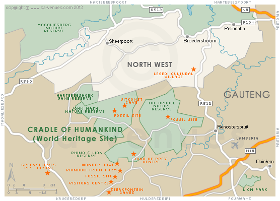
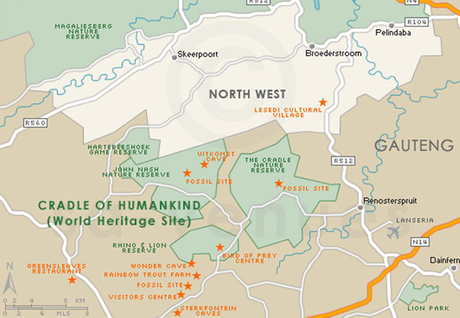
Map of Cradle of Humankind, Gauteng
Cradle of Humankind detail and street level map showing landmarks of Cradle of Humankind including the location of surrounding towns and Lesedi Cultural Village. The Cradle of Humankind Site lies mainly in the Gauteng province with a small extension into the neighboring North West province, and covers 47 000 hectares of land. For additional information about Cradle of Humankind please visit Cradle of Humankind Information.
If you are interested in overnighting in the area, we can recommend some great accommodation options including hotels, guest houses and self-catering properties. If you're only planning on driving through Cradle of Humankind, en-route to another destination, you may want to peruse our Cradle of Humankind Restaurants before you leave to see if you should plan a stop here for lunch or maybe just a coffee. Also check out Cradle of Humankind Things To Do to see if there are any activities for which you would consider stopping.
Maps of Gauteng
Provincial Maps
Street Level Maps
Gauteng Regions
Special Interests by Map
In the vicinity
Hotels & other accommodation options
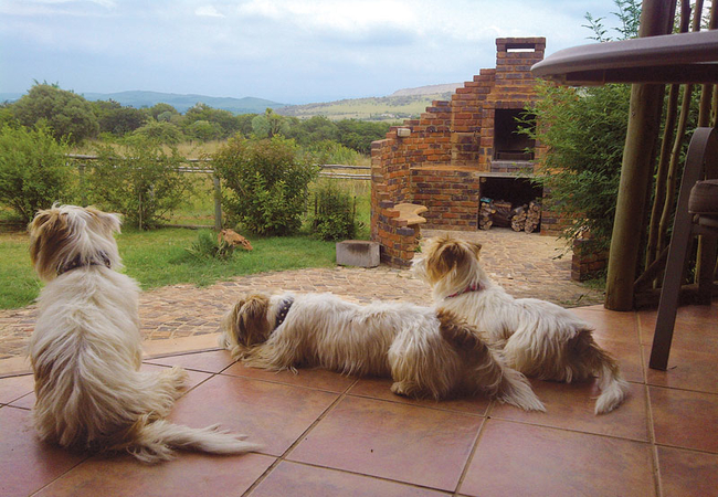
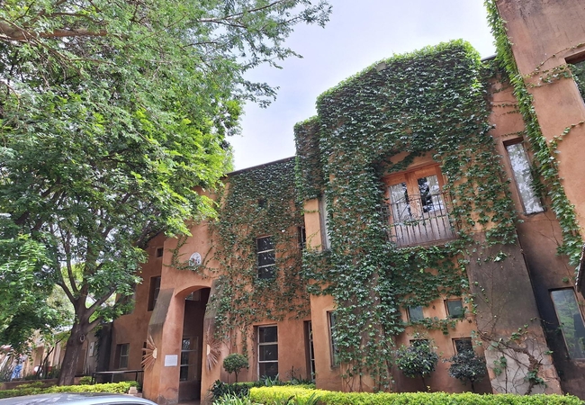
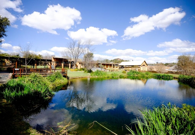
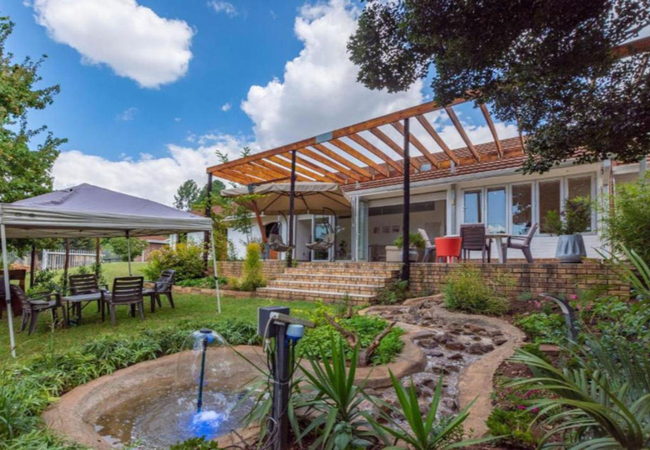
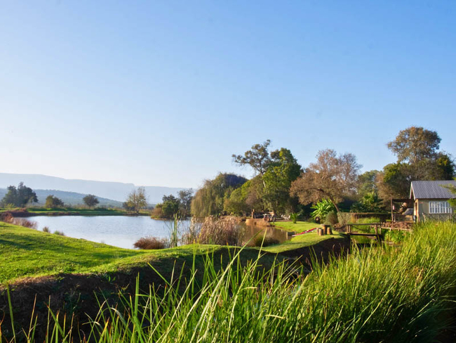
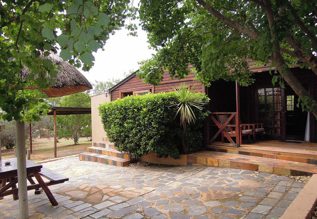
Lethabo Estate Farmhouse
Lethabo Farmhouse is a relaxed haven of easy country living with tranquil, uninterrupted views to the horizon over the pond, pool and rolling hil...
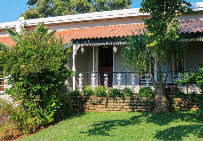
The House On The Hill
The House on the Hill offers holiday and getaway accommodation in three charming self-catering cottages, each thoughtfully designed for comfort a...
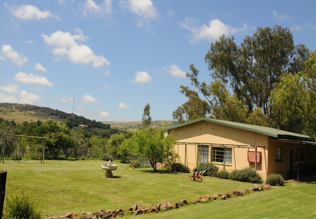
Thabametsi Farm
Thabametsi Farm meaning 'Mountain Water' is a tranquil, rustic self-catering getaway in the heart of scenic Magaliesburg. Situated on a 132Ha far...
Stone Hill
Perched high above the distant village of Magaliesburg, Stone Hill offers 6 top class, fully equipped luxurious self-catering timber cottages, ac...
Puschka Farm
Puschka Farm is situated in the quiet and picturesque area of Buffelsfontein. Experience real country living and take a self-catered vacation on ...
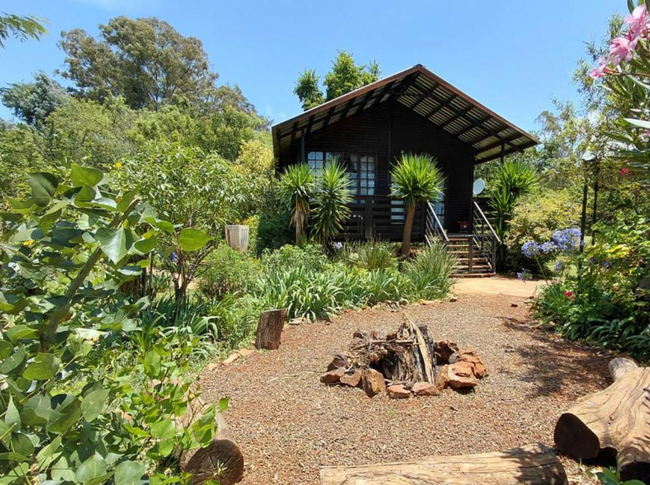
Woodland Gardens
Woodland Gardens offers fully equipped accommodation in the Magaliesberg. The chalets are secluded, romantic and luxurious with log fires. Each c...
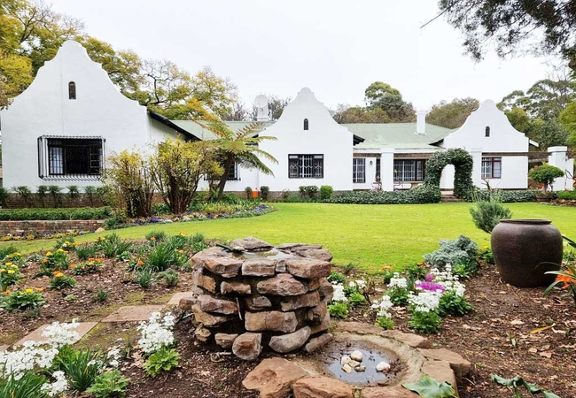
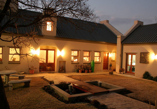
Casalinga La Casa
Casalinga La Casa Guest House offers guests a quick farm break-away from the city. The lovely accommodation, which combines old-country charm wit...
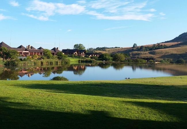
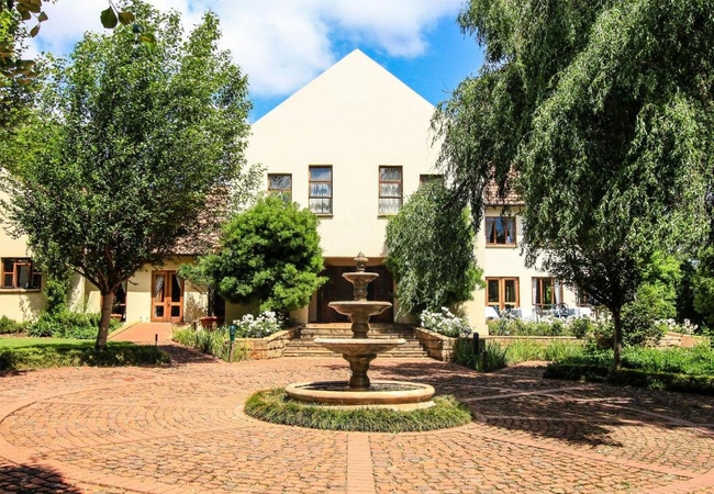
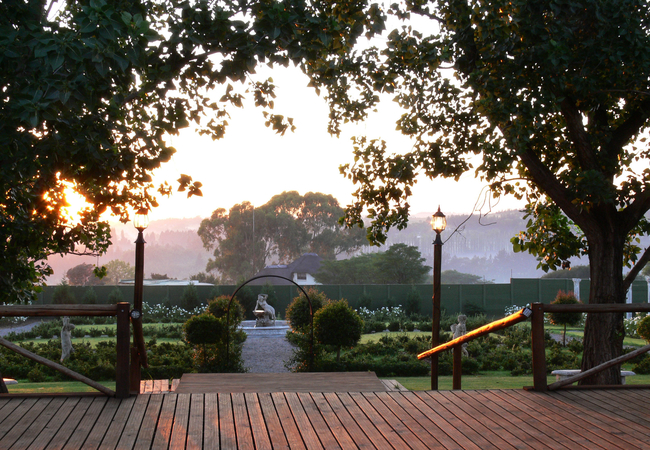
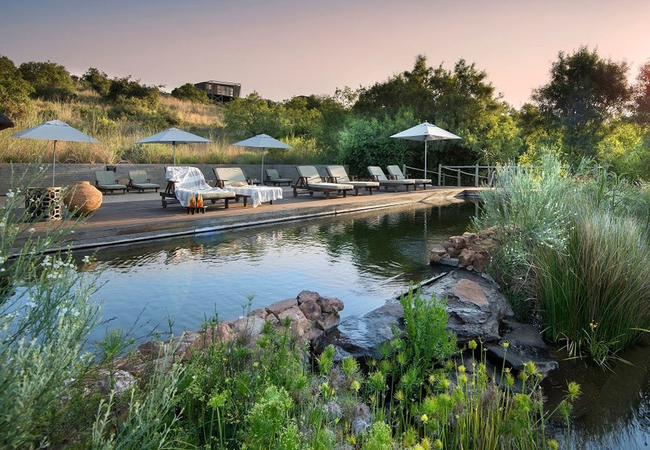
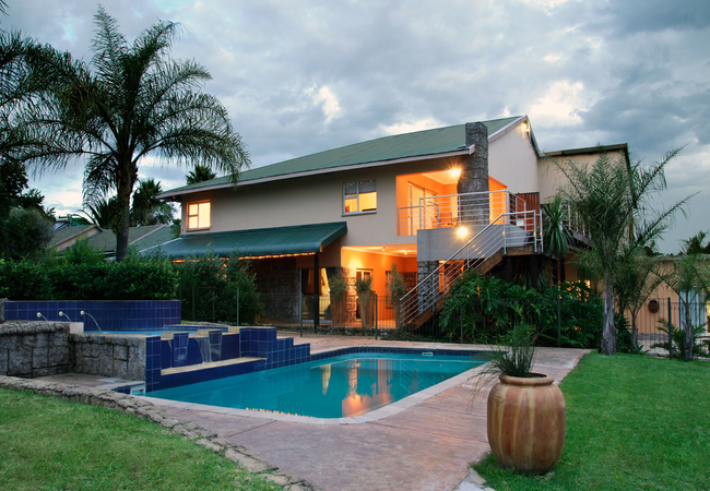
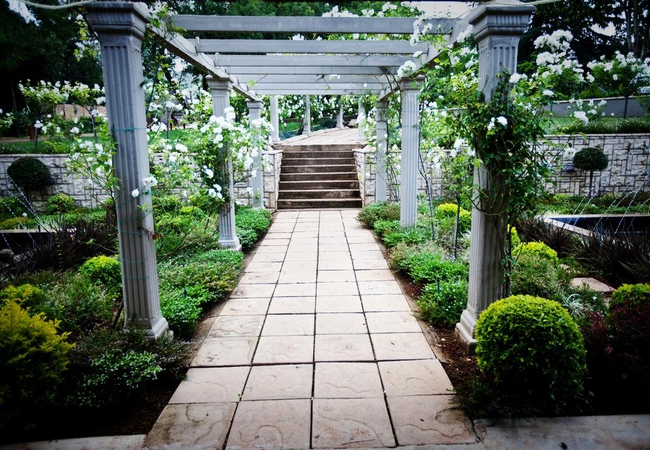
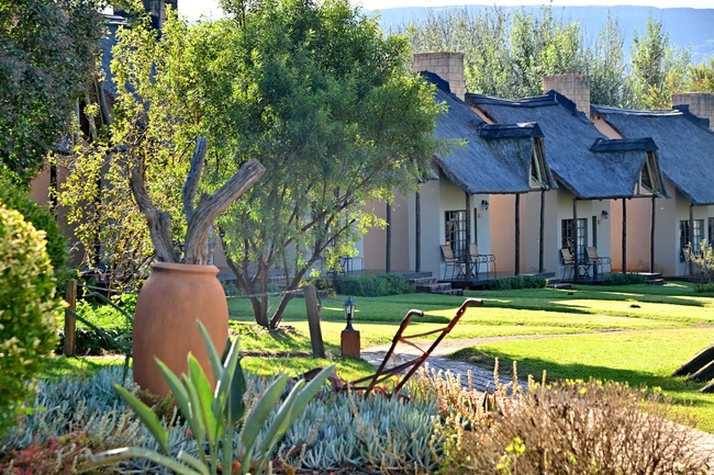
Kloofzicht Lodge & Spa
Guests entering the luxurious Kloofzicht Lodge are greeted with the stunning vista of endless stretches of water as the infinity pool spills over...
Budmarsh Country Lodge
Away from the hustle and bustle of the city, in the heart of the magical Magaliesberg, Budmarsh Lodge welcomes you to its world of understated el...
Lethabo Estate
Lethabo Estate in Lanseria is set on the banks of the Crocodile River, centrally positioned very near Lanseria International Airport and a short ...
Random Harvest Country Cottages
Set in Muldersdrift on a gorgeous country retreat, Random Harvest Country Cottages allow you to relax and rejuvenate in finely furnished comfort ...
Bosheuvel Country Estate
Bosheuvel Country Estate is located in Muldersdrift. Accommodation is offered for a total of thirty six guests. The farm has a prized Pinzgauer c...
Misty Morn Cottages
Misty Morn cottages can be found in Muldersdrift at the foot of one of the Zwartberg hills in the Cradle of Humankind. Misty Morn has five fully ...
Valverde Eco Hotel
Valverde Eco Hotel is a unique country-style venue situated near Muldersdrift, with twenty five comfortable luxury rooms, two Wedding venues, fun...
Monchique Guest House
Monchique Guest House is a luxurious country retreat that offers affordable holiday or business accommodation. We pride ourselves on top-class am...
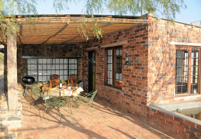
Puschka Writers Cottage
Puschka Writers Cottage offers accommodation in Magaliesburg in a converted and extended old farm cottage that is located on the opposite side of...
Cradle Boutique Hotel
Cradle Boutique Hotel, located in a spectacular 9 000 hectare nature reserve, is one of a kind. It is the only hotel in the world situated on an ...
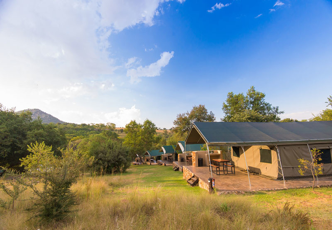
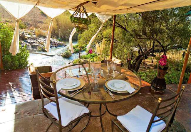
Bushwillow Tented Camp
Accommodation comprises ten large comfortable walk-in tents, sleeping between four and six people each, including hot indoor showers and a small ...
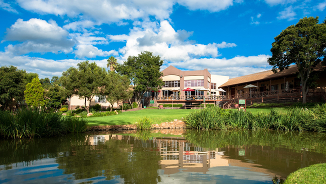
Glenburn Lodge and Spa
In the tranquility of the Swartkops Mountains, on the banks of the Blaauwbank and Crocodile Rivers, lies Glenburn Lodge and Spa. Situated within ...
Cradle Valley
Cradle Valley is situated on the edge of the Cradle of Humankind. Cradle Valley offers accommodation in stylish and tastefully furnished bedrooms...
Country Park
Country Park is situated off Beyers Naude Drive, in the tranquil country atmosphere of Honeydew / Muldersdrif in Gauteng. The park offers self ca...
Hakunamatata Lodge and Health Spa
Situated 30 mins from Johannesburg and Pretoria in the Muldersdrift/Honeydew area. Fully secured 21 acre estate offering luxury accommodation in ...
Hornbill Lodge
Located in Magaliesburg, Hornbill Lodge and Legends offers both Bed and Breakfast and Self Catering accommodation. The lodge features a large lan...
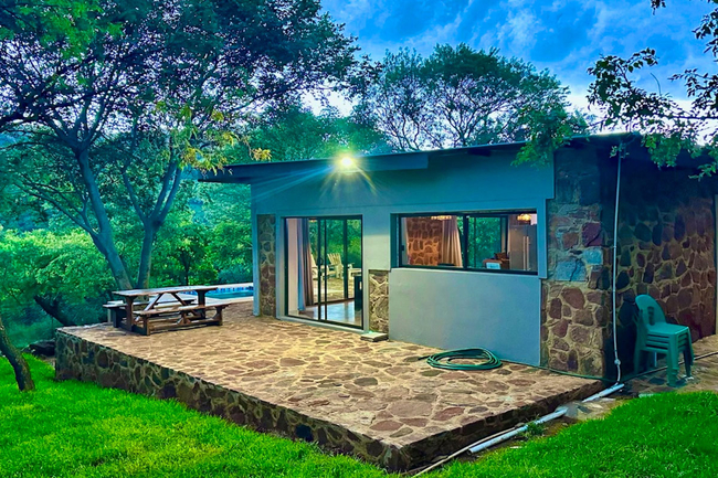
Athule Inn Cradle
This thoughtfully appointed holiday home comfortably hosts up to six guests, featuring three tastefully furnished bedrooms and two well-appointed...
Maropeng Boutique Hotel
Maropeng Boutique Hotel, offering bed and breakfast, is located on the same property as the Cradle of Humankind visitor center. The hotel offers ...
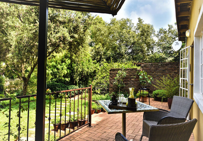
EnGedi Guesthouse
EnGedi Guesthouse offers luxury accommodation and a relaxing tranquil experience with excellent service. Breakfast is served each morning and you...
La Moor Country Venue
La Moor Country Venue is a guesthouse located at Lammermoor offering Muldersdrift accommodation. We are a family of families, all bonded together...
Eagle Owl at Windsong Living
Eagle Owl has one bedroom furnished with a Queen-size bed. The bedroom leads onto a private courtyard with a Jacuzzi. The open plan living area h...
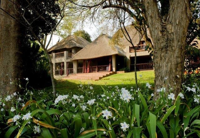
African Hills Safari Lodge
Situated on the Plumari Private Reserve in the Magaliesberg, just over an hour from Johannesburg or Pretoria, African Hills Safari Lodge offers g...
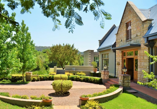
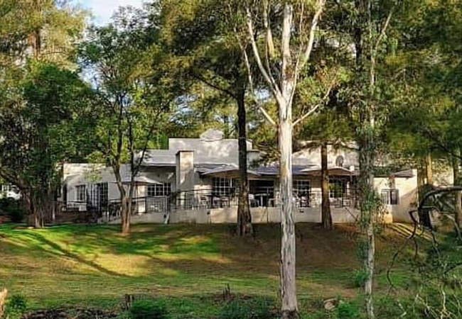
De Hoek Country Hotel
De Hoek lies graciously in a serene country setting an hour from Johannesburg and Pretoria. The hotel is an impressive masterpiece of Sandstone, ...
Buffalo Thorn
Buffalo Thorn is a cottage which provides accommodation in seclusion and privacy for up to six guests. Enjoy vast views over the Buffelsfontein v...
Imbabali Retreat
Imbabali Retreat is located in Hekpoort and offers accommodation in tranquil surroundings with views of the Magaliesburg Mountains. The farm has ...
Hartley Manor Guest House
Set in the beautiful Muldersdrift area, Hartley Manor offers accommodation in 7 cottages and suites for up to 18 guests. Only 15 minutes from Lan...
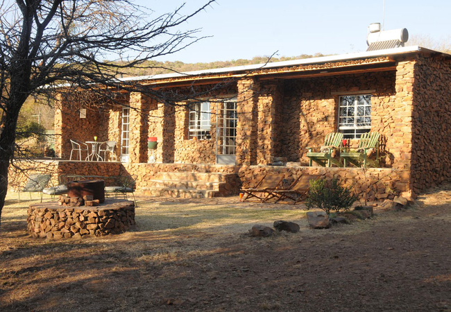
Puschka Stone Cottage
Puschka Stone Cottage offers accommodation in Magaliesburg that is built entirely of stone from the koppie on the farm. This romantic cottage boa...
Wild Syringa
Wild Syringa offers accommodation for two guests in a tranquil haven away from the city. This secluded, private, log cabin styled cottage is loca...
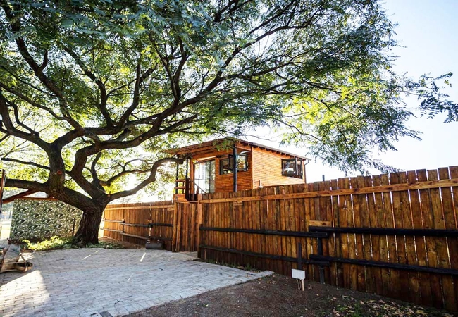
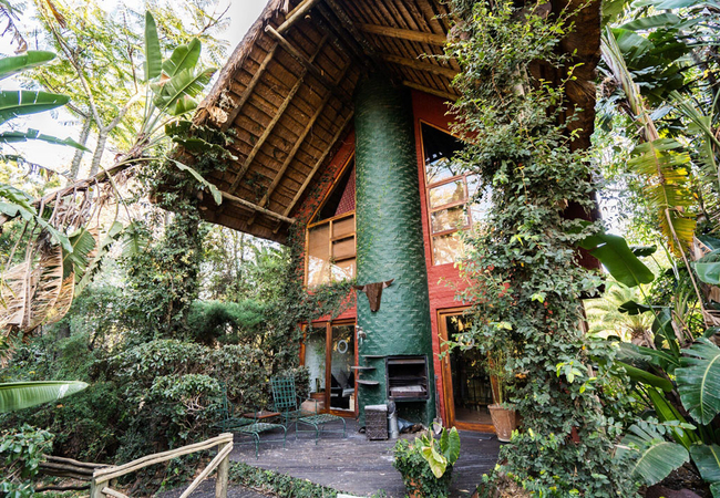
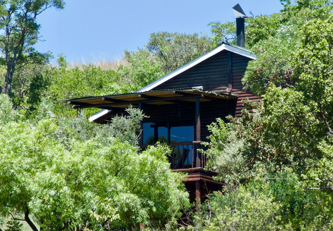
The Nest at Windsong Living
The Nest is located at Windsong Living, an Equestrian Estate in the Cradle of Humankind. The Nest offers modern tree-house living at its finest. ...
Votadini Country Cottages
Votadini Lodge offers accommodation in Hekpoort. The lodge is surrounded by spectacular views, a variety of bird life and clean fresh air. We hav...
Mokoya Lodge
At Mokoya Lodge you will have a comfortable and relaxed sleep in one of the private twin or double rooms; which are en-suite and have scenic view...
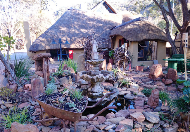
Esther's Country Lodge
On arrival at Esther's, one gets an impression of modern minimalism. This is a guest lodge with a difference, decorated with pieces of glass art ...
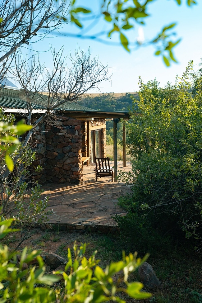
Nullarbor Cottages
Nestled in the rocky arms of the Magaliesburg Mountains on a private farm lie the Nullarbor Cottages - a piece of paradise in the tranquility of ...

Things to do in the area - see all in Magaliesberg
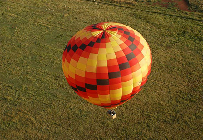
Hot Air Ballooning in the Magaliesberg
Come and experience a spectacular South African sunrise, occasionally skimming treetops or simply drifting peacefully across the skies. Hot air b...
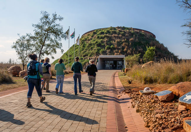
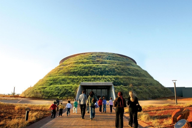
Maropeng Visitor Centre
Visitors that have booked accommodation in Johannesburg or are staying elsewhere around Gauteng are invited to see the historical wonder of the M...
Wow at the Wonder Cave
Wander through the wonderland of Wondercave in Magaliesberg. 87 Footsteps lead you one step at a time down to an eccentric elevator or abseil adv...
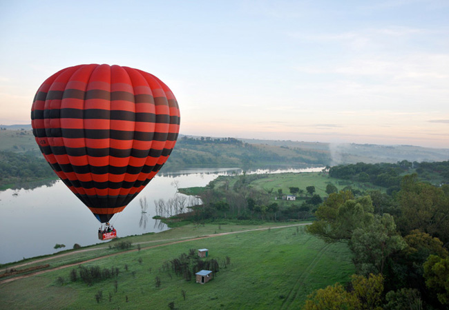
Hot Air Ballooning in The Cradle
Join us for the ultimate flying experience. Get to know your fellow passengers as you enjoy a pre-flight cup of tea or coffee before joining the ...
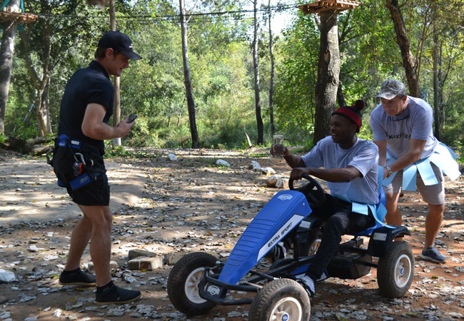
Noble Adventures
Although it's hard to tear yourself away from the beautiful accommodation in Magaliesburg, you'll probably want to experience a bit of this gorge...
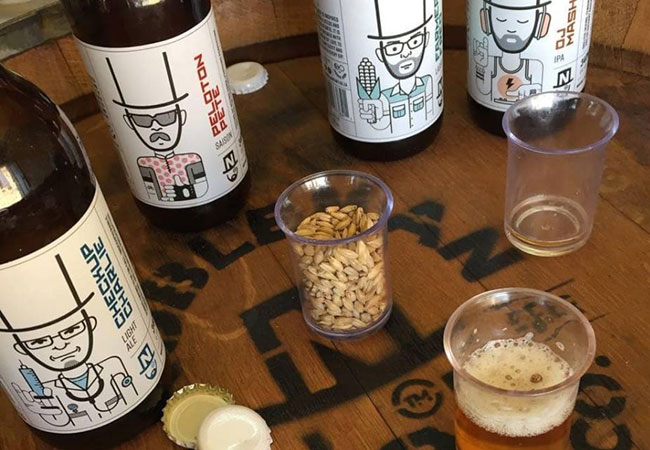
Nobleman Brewing Company
The Magaliesberg accommodation available to visitors ranges from rustic lodges to boutique guest houses. Staying here promises gorgeous views, pl...
Noteworthy attractions - see all in Magaliesberg
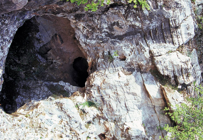
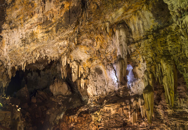
Sterkfontein Caves
The Sterkfontein Caves are a series of limestone caves 50 kilometres north west of Johannesburg that are not only the richest, but most productiv...
Cradle of Humankind
The Cradle of Humankind Site comprises a strip of a dozen dolomitic limestone caves containing the fossillised remains of ancient forms of animal...
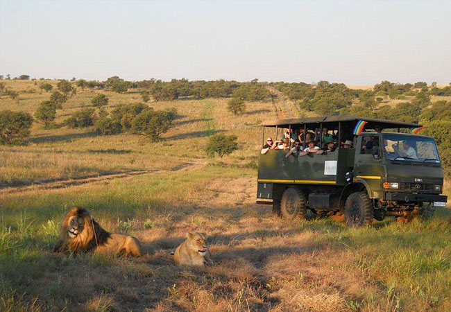
Plumari Game Reserve
Plumari Ranch Game Reserve comprises a pristine malaria free wilderness area of over 2000 hectares. The ranch boasts an amazing natural African b...
Magalies Wild Game Farm
Magalies Wild Game Farm has two major selling points: the first is that the farm lies so close to Johannesburg and Pretoria that weekends easily ...
Cradle Nature Reserve
The Cradle Nature Reserve covers an area of 3 000 hectares, which includes a delightful array of plant and animal species representing the divers...
Mountain Sanctuary Park
Mountain Sanctuary Park is aptly named, for it is every bit the restful and refreshing space in which to reconnect with nature it professes to be...
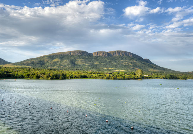
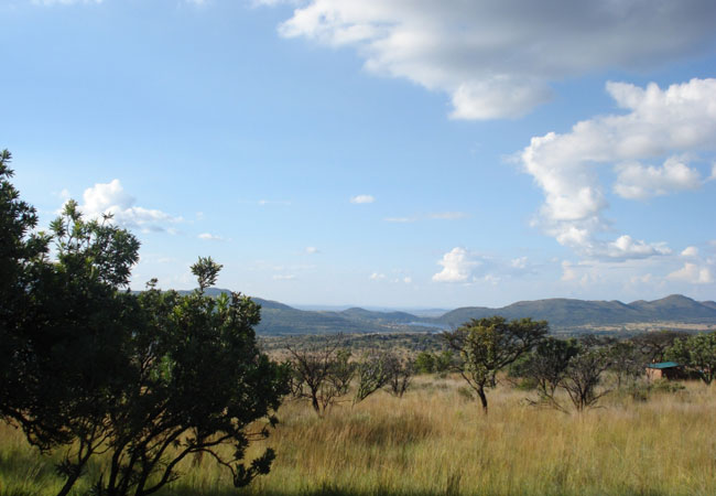
Magaliesberg Biosphere Reserve
The Magaliesberg is the second oldest mountain range in the world, almost 100 times older than Mount Everest, and half the age of the earth. It i...
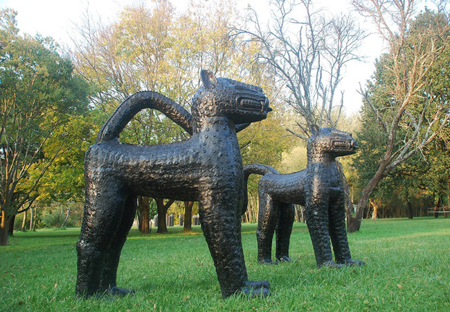
Nirox Sculpture Park
North west of Johannesburg is an area known as the Cradle of Humankind. It's a newsworthy area not least for the recent release of data based on ...
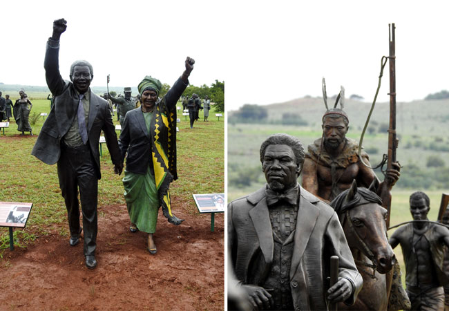
Long March to Freedom Monument
South Africa's "march to freedom" has been a long and complex one, and visitors will find themselves completely awe-struck by this country's jour...
Find accommodation in Cradle of Humankind
FIND / South Africa Accommodation / Gauteng Accommodation / West Rand Accommodation / Magaliesberg Accommodation / Cradle of Humankind Accommodation
Cradle of Humankind as a destination
Why book with SA-Venues.com
- Your card is safe with us; strictest card verification in the industry and we don't store card numbers.
- No airy fairy service fees; you save!
- We care. Service with integrity.
- Multiple payment methods:
credit card, SID instant EFT, bank transfer. - All Cradle of Humankind property owners / managers are verified (our experience protects you from online fraud).
- Secure your booking
Maps
Destination Cradle of Humankind
- By type in Cradle of Humankind
- Cradle of Humankind Accommodation
- Cradle of Humankind Hotels
- Game Lodges
- Cradle of Humankind Guest Houses
- Cradle of Humankind Bed & Breakfast
- Cradle of Humankind Self Catering
- & Holiday Apartments & Suites
- & Holiday Cottages & Chalets
- & Holiday Homes & Villas
- Cradle of Humankind Conferences
- Cradle of Humankind Weddings
- Cradle of Humankind Honeymoons
- Destinations near Cradle of Humankind
- Doornhoek, Hekpoort, Kromdraai, Maanhaarrand, Magaliesburg, Renosterspruit, Skeerpoort
- Resources for tourists
- About Cradle of Humankind
- Things To Do
- Attractions
- Reviews