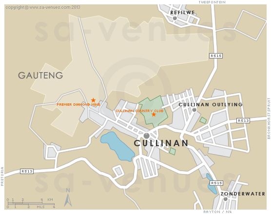
Map of Cullinan, Gauteng
Cullinan detail and street level map showing the suburbs and landmarks of Cullinan. Cullinan lies 30 kilometres east of Pretoria and is famous for the discovery of what became known as the Cullinan Diamond - the largest rough gem-quality diamond ever found. For additional information about Cullinan please visit Cullinan Information.
If you are interested in overnighting in the area, we can recommend some great accommodation options including hotels, guest houses and self-catering properties. If you're only planning on driving through Cullinan, en-route to another destination, you may want to peruse our Cullinan Restaurants before you leave to see if you should plan a stop here for lunch or maybe just a coffee. Also check out Cullinan Things To Do to see if there are any activities for which you would consider stopping.
Maps of Gauteng
Provincial Maps
Street Level Maps
Gauteng Regions
Special Interests by Map
In the vicinity
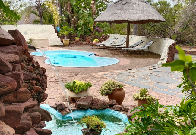
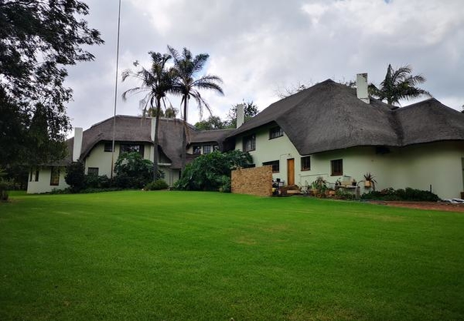
Hotels & other accommodation options
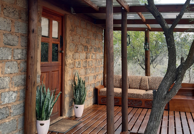
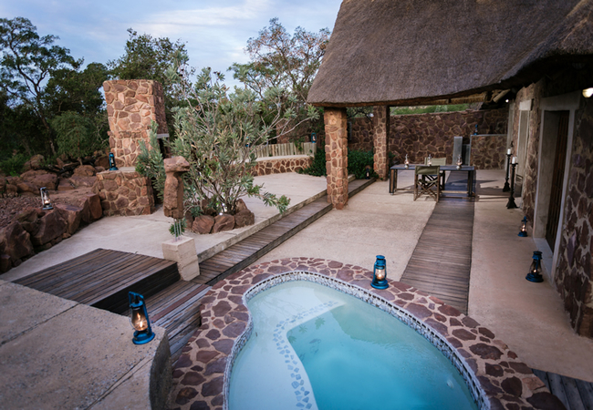
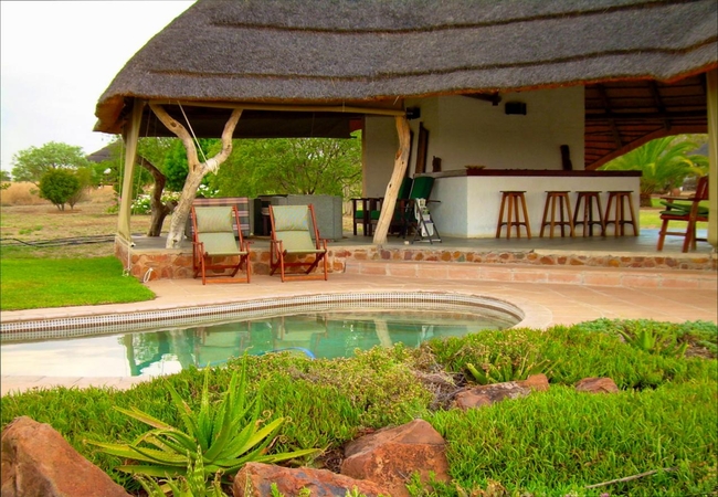
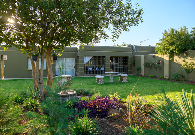
KwaThabisile Game Lodge
In the heart of Gauteng, Dinokeng 'a place of rivers', and Leeuwkloof valley, is a game lodge surrounded by wildlife roaming in a 400 hectare gam...
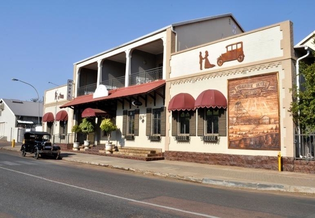
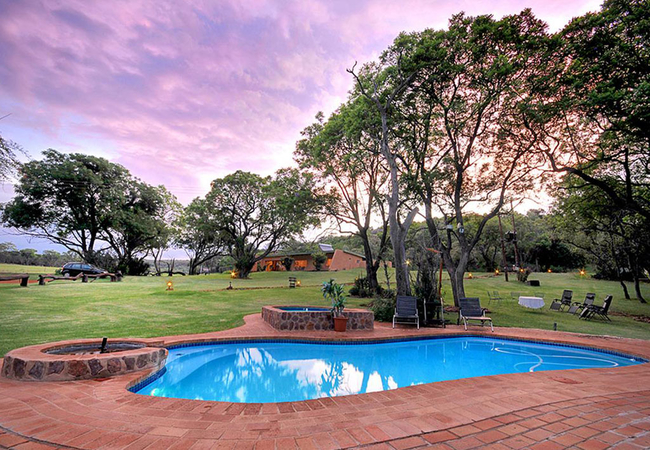
Premier Hotel Cullinan
The Premier Hotel Cullinan is a historical landmark offering hotel accommodation in16 en-suites each individual decorated with a luxury old world...
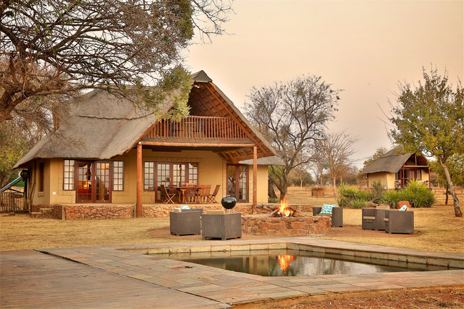
Destiny Lodge
Nestled in the heart of the historical village of Cullinan well known for its famous Cullinan Diamond you will find quality accommodation at Dest...
Five Pebbles on Piece of Africa
Five Pebbles is a self catering chalet on Piece of Africa bushveld farm. The chalet is ideal as a quiet, break away for couples. The open plan ch...
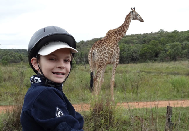
Colin's Horseback Africa
This beautifully appointed Lodge offers guests a feeling of being one with nature. Come and share bushveld stories around the campfire, enjoy sen...
Ma Tala Tala
Ma Tala Tala is private wildlife reserve offering accommodation within close proximity of Tshwane, Dinokeng and the Roodeplaat Dam. The reserve o...
Horizon Savannah
Horizon Savannah consists of bespoke high-end standalone self-catering chalets, and a tented camp. The chalets feature sleeper wood furniture and...
Abloom Bush Lodge and Spa Retreat
In the beauty of an undiscovered bush valley you can find accommodation in the 5 star equivalent Abloom Bush Lodge & Spa Retreat. Just outside of...
Mangwa Valley Game Lodge
Mangwa Valley Game Lodge is home to 3 of the Big 5, and and offers accommodation in a romantic setting where nature has inspired the development ...
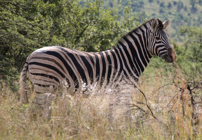
Zebra Nature Reserve
Zebra Nature Reserve offers its guests true South African hospitality. The lodge is conveniently situated just 30km from Pretoria and 85km from O...
Hayward's Safari House
Elegantly appointed in simplistic safari style, Hayward's Safari House is an ideal weekend accommodation getaway for those looking for peace and ...
Butjani Lodge
Butjani Lodge is an intimate eight bedded bush lodge 45km North East of Pretoria on the Dinokeng tourist route. Accommodation is in en-suite luxu...
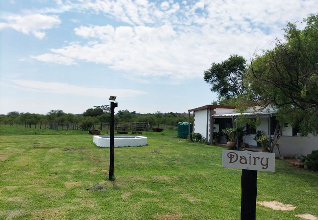
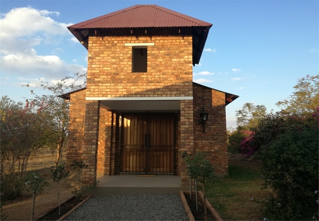
Dikgomo Cottage
Dikgomo Cottage offers self-catering in a refurbished dairy, located on a farm in De Wagensdrift. The farm is home to indigenous Nguni cattle and...
Stumble Inn
Stumble Inn comprises of five chalets which sleeps a maximum of 18 people. It is situated on the side of a hill in a private game reserve teeming...
Diamantvallei Landgoed
Diamantvallei Landgoed offers accommodation in Rayton, near the Cullinan district of Gauteng. This guest house offers accommodation for a total o...

Its Anners
Its Anners is part of the Leeuwgedacht Conservancy that borders Welgedacht Private Game Farm. Accommodation is offered in five luxury double room...
Heike's Place
Heike's Place is situated just outside the Dinokeng Game Reserve and offers lovely accommodation for overnight guests or those visiting the area ...
Bark at the Moon
Bark at the Moon is located 25 minutes outside of Pretoria, in Cullinan and is able to accommodate eight guests in two separate cottages. Here gu...
Things to do in the area - see all in Northern Gauteng
Horseback Africa Hiking Trails
Horseback Africa offers free hiking to all overnight visitors. The accommodation at Colin's Horseback Africa has both cheaper options and more ex...
Horseback Africa Mountain Biking
Enjoy your experience at Horseback Africa from the saddle of a mountain bike. There is an established 5 km route that is used for the (not) parkr...

Explore Cullinan
Take a trip down Memory lane and explore the historical town of Cullinan in Gauteng. Cullinan is only a 75 minute drive from Johannesburg, but al...
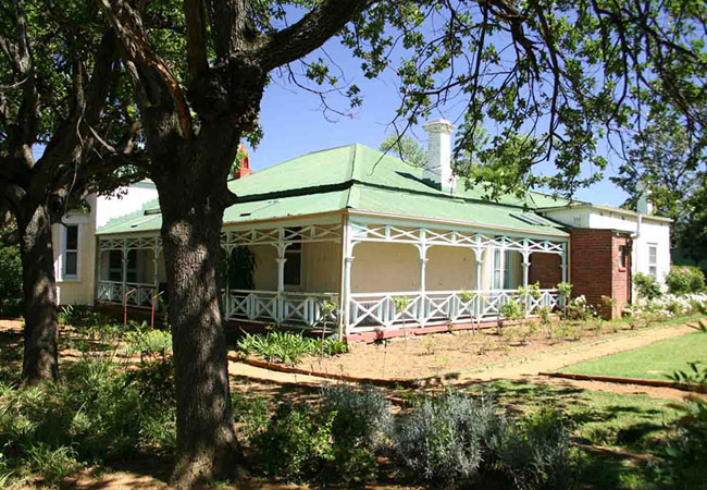
McHardy House Museum
A visit to the McHardy House in Cullinan is a step back in time. All of the guides are members of the Cullinan Heritage Society and will ensure y...
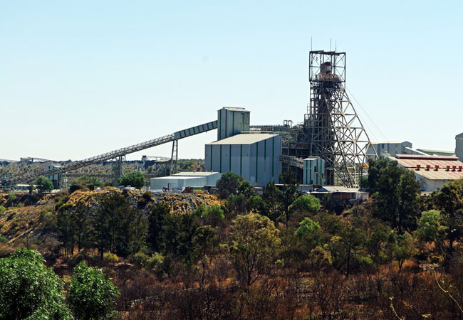
The Cullinan Diamond Mine
The stories and the chance to see diamonds on display is principally what draws people to the Cullinan Diamond Mine, and a number of tours are av...
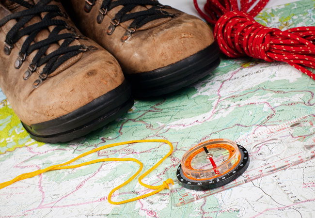
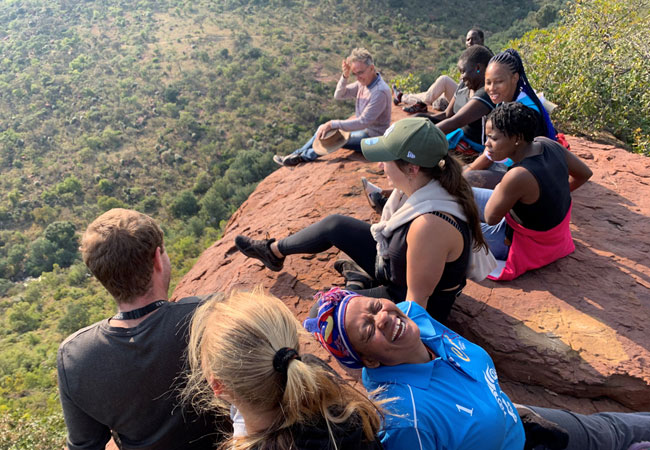
Windy Brow Hiking Trails
Start: Windy Brow Reserve, Elandsfontein farm, CullinanFinish: Windy Brow farm base campDuration: a day hike; 3 hikesFitness: moderate, very few ...
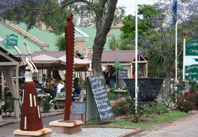
Take A Stroll Down Oak Avenue Boulevard
Taking a stroll through the very Edwardian village of Cullinan is a must, especially if that stroll takes you down Oak Avenue Boulevard. The bust...
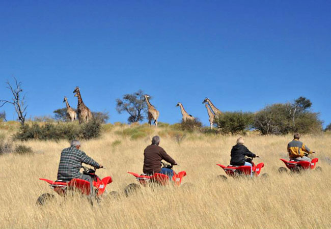
Quad Trails
Enjoy quad biking on this stunning 13km trail situated just outside Cullinan. The trail provides diverse terrain, from rocky technical work, mud,...
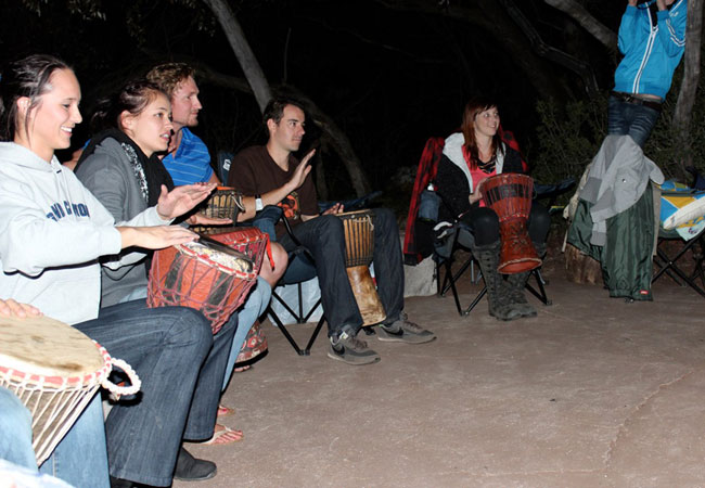
Bongo Drumming
Get into the rhythm of Africa with your own beat! Join us for a bongo drum session and soon you'll be making music facilitated by our professiona...
Noteworthy attractions - see all in Northern Gauteng
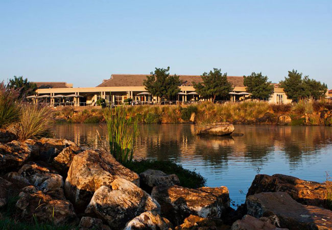
Blue Valley Golf Estate
Named for the blue skies and open country of its surroundings, the Gary Player designed Blue Valley is a perfect blend of hospitality, sport and ...
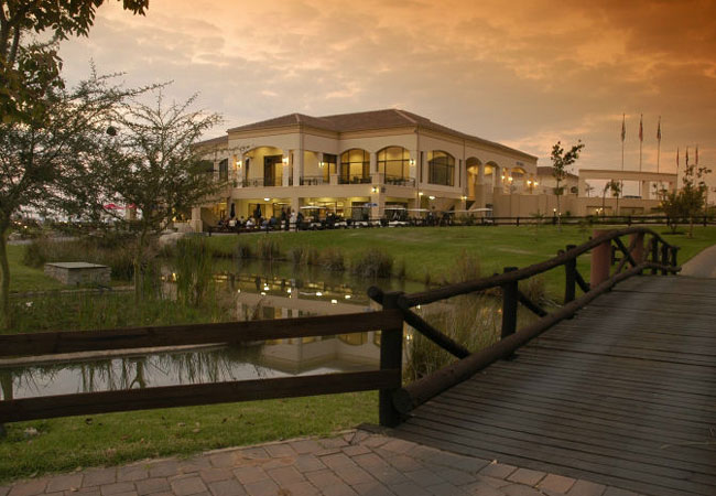
Centurion Country Club
Centurion Golf Course is an excellent Golfing Estate with a very challenging golf course designed by Peter Matkovich. Two different nines, where ...

Zwartkop Country Club
The Zwartkop Country Club is situated on what was originally the farm Zwartkop named after the bird found nesting on the farm. It has long been a...
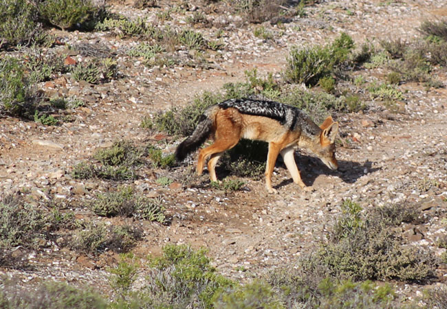
Leeuwkloof Valley Conservancy
The Leeuwkloof Valley Conservancy, a 400 hectare game reserve, is situated 1 hour from Johannesburg and 30 minutes from Pretoria. In the heart of...
Rietvlei Nature Reserve
The Rietvlei Nature Reserve is one of the world's largest urban nature reserves, 3 800 hectares in extent, situated south of the city but still w...
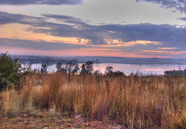
Roodeplaat Dam Nature Reserve
The Roodeplaat dam was constructed in 1956 and was initially called the 'Pienaars Rivier Dam'. The Dam supplied the surrounding landowners with i...
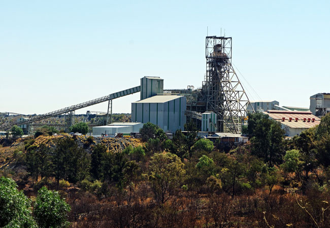
Cullinan Diamond Mine
Just twenty minutes drive from Pretoria brings one to the quaint little town of Cullinan that time appears to have little affected. The Cullinan...
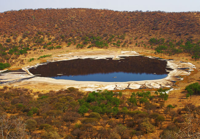
Tswaing Meteorite Crater Museum
One of only four meteorite crater museums in the world (the others are in the US, Germany and France) the Tswaing Crater and its museum lie rough...
Rust De Winter Nature Reserve
The pretty Rust de Winter Nature Reserve lies north east of Hammanskraal and close enough to the N1 and Pretoria to make a weekend of it. Places ...
Find accommodation in Cullinan
FIND / South Africa Accommodation / Gauteng Accommodation / Northern Gauteng Accommodation / Cullinan Accommodation
Cullinan as a destination
Why book with SA-Venues.com
- Your card is safe with us; strictest card verification in the industry and we don't store card numbers.
- No airy fairy service fees; you save!
- We care. Service with integrity.
- Multiple payment methods:
credit card, SID instant EFT, bank transfer. - All Cullinan property owners / managers are verified (our experience protects you from online fraud).
- Secure your booking
Maps
Destination Cullinan
- By type in Cullinan
- Cullinan Accommodation
- Cullinan Hotels
- Game Lodges
- Cullinan Guest Houses
- Cullinan Bed & Breakfast
- Cullinan Self Catering
- & Holiday Apartments & Suites
- & Holiday Cottages & Chalets
- & Holiday Homes & Villas
- Cullinan Conferences
- Cullinan Honeymoons
- Destinations near Cullinan
- Boekenhoutskloof, Bronkhorstspruit, Buffelsdrift, Centurion, De Wagensdrift, Eldoraigne, Hammanskraal, Hennops River, Irene, Leeuwkloof Valley, Pretoria, Rayton, Roodeplaat, Wierda Park
- Resources for tourists
- About Cullinan
- Things To Do
- Attractions
- Reviews