South African Weather
South Africa Weather and Climate
South Africa's climatic conditions generally range from Mediterranean in the southwestern corner of South Africa to temperate in the interior plateau, and subtropical in the northeast. A small area in the northwest has a desert climate. Most of the country has warm, sunny days and cool nights. Rainfall generally occurs during summer (November through March), although in the southwest, around Cape Town, rainfall occurs in winter (June to August). Temperatures are influenced by variations in elevation, terrain, and ocean currents more than latitude.
Temperature and rainfall patterns vary in response to the movement of a high pressure belt that circles the globe between 25º and 30º south latitude during the winter and low-pressure systems that occur during summer. There is very little difference in average temperatures from south to north, however, in part because the inland plateau rises slightly in the northeast. For example, the average annual temperature in Cape Town is 17ºC, and in Pretoria, 17.5ºC, although these cities are separated by almost ten degrees of latitude. Maximum temperatures often exceed 32ºC in the summer, and reach 38ºC in some areas of the far north. The country's highest recorded temperatures, close to 48ºC, have occurred in both the Northern Cape and Mpumalanga.
Frost occurs in high altitudes during the winter months. The coldest temperatures have been recorded about 250 kilometers northeast of Cape Town, where the average annual minimum temperature is -6.1º C. Record snowfalls (almost fifty centimeters) occurred in July 1994 in mountainous areas bordering Lesotho.
Climatic conditions vary noticeably between east and west, largely in response to the warm Agulhas ocean current, which sweeps southward along the Indian Ocean coastline in the east for several months of the year, and the cold Benguela current, which sweeps northward along the Atlantic Ocean coastline in the west. Air temperatures in Durban, on the Indian Ocean, average nearly 6º C warmer than temperatures at the same latitude on the Atlantic Ocean coast. The effects of these two currents can be seen even at the narrow peninsula of the Cape of Good Hope, where water temperatures average 4º C higher on the east side than on the west.
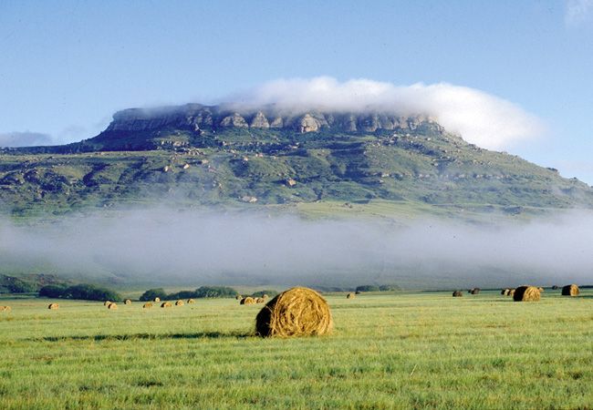
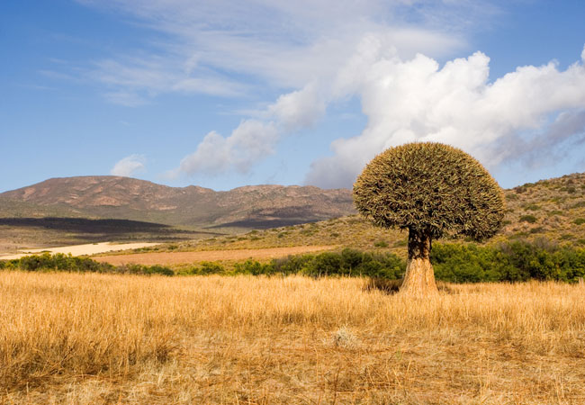
Rainfall varies considerably from west to east. In the northwest, annual rainfall often remains below 200 millimeters. Much of the eastern Highveld, in contrast, receives 500 millimeters to 900 millimeters of rainfall per year; occasionally, rainfall there exceeds 2,000 millimeters. A large area of the center of the country receives about 400 millimeters of rain, on average, and there are wide variations closer to the coast. The 400-millimeter "rainfall line" has been significant because land east of the rainfall line is generally suitable for growing crops, and land west of the rainfall line, only for livestock grazing or crop cultivation on irrigated land.
To start planning your trip, explore Sputh Africa with us! We hope you enjoy browsing our info pages where you will find all the South Africa's most popular Attractions and destinations, plenty of photographs to inspire you and a huge selection of accredited accommodation options. You will find user-friendly listings sorted by region, town and suburb and by categories from hotels and guesthouses to self catering options. We hope you enjoy your stay in South Africa!
South African Weather by Province
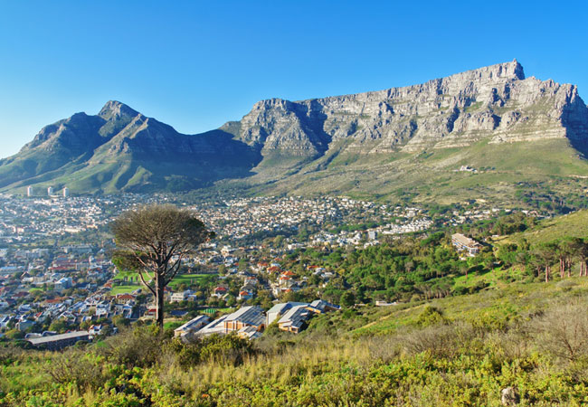
Western Cape
Stay? Cape Town, Western Cape Accommodation
Overall, the Western Cape climate is typically Mediterranean, with warm, dry summers and mild, moist winters and low summer rainfall prevail. Near the coast, summer's temperature rises from a pleasant low of 15º C to a heart warming 27º C. Inland temperatures are ...
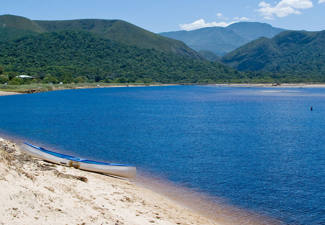
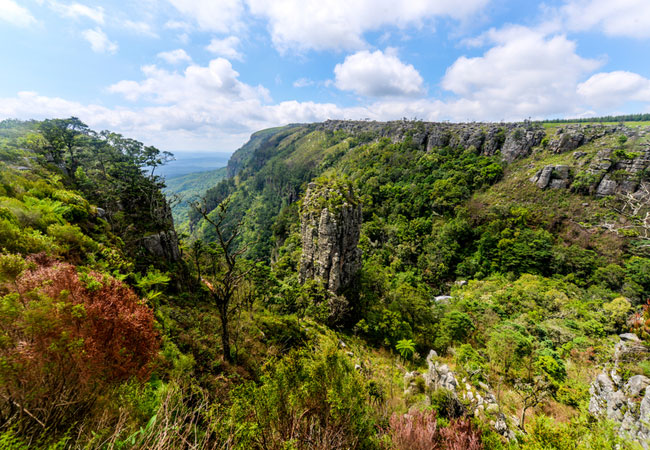
Garden Route
Stay? Garden Route Accommodation
The Garden Route has a Mediterranean Maritime climate, with moderately hot summers, and mild to chilly winters. It is one of the richest rainfall areas in South Africa. Most of the rains occurs in the winter months, brought on by the humid sea-winds from the Indian ...
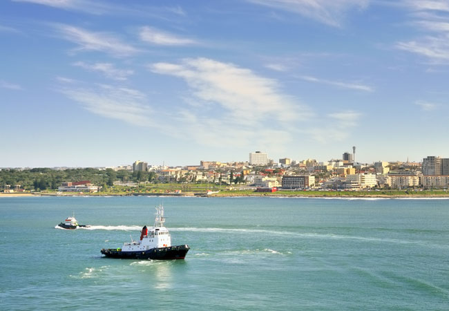
Eastern Cape
Stay? Eastern Cape Accommodation
The coastal area of the Eastern Cape lies directly between the subtropical conditions of KwaZulu Natal and the Mediterranean conditions of the Western Cape, while its inland area is bisected by the great escarpment resulting in the southern reaches defined by a series ...
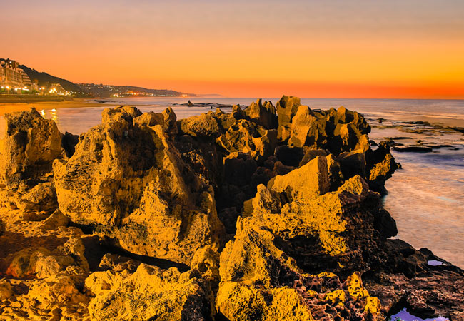
KwaZulu Natal
Stay? KwaZulu Natal Accommodation
The climate in KwaZulu Natal is all year 'round tourist friendly. Sea temperatures are also relatively stable, averaging 21 degrees all year, providing possibilities for a diversity of aquatic activities in any season, including diving, fishing, swimming, ...
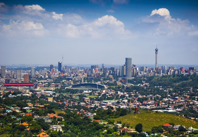
Gauteng
Stay? Gauteng Accommodation
Gauteng is said to offer one of the worlds best climates: summer days are warm and wind free and winter days are crisp and clear. Johannesburg and Pretoria differ in temperature by about 2% (Pretoria being the warmer of the two). Johannesburg has a mild ...
Mpumalanga
Stay? Mpumalanga Accommodation
Mpumalangas weather is naturally defined by it's topography. Mpumalanga is a province of two halves, namely the high-lying grassland savannah of the highveld escarpment and the subtropical Lowveld plains. The western side of Mpumalanga, on the highveld ...
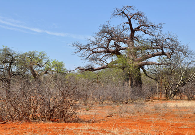
Limpopo
Stay? Limpopo Accommodation
Finding itself at South Africas northernmost area and bisected by the tropic of Capricorn, visitors to Limpopo can expect sunshine, long summer afternoons and dry days for most of their stay. Polokwane, the capital city of Limpopo, lies more or less in the centre of ...
North West Province
Stay? North West Province Accommodation
Forming the southern part of the Kalahari Desert the North West Province offers almost year-round sunshine, making suntan lotion and a hat a prerequisite when visiting the North West Province, South Africa. The capital city, Mafikeng, enjoys ...
Free State
Stay? Free State Accommodation
The Free State, with its vast beauty, endures a fair amount of hardship due to it's hot, arid climate. Almost uniformly at about 1,300m above sea level, the Free State has weather typical of an interior plateau with summer rains, chilly winters and plenty ...
Northern Cape
Stay? Northern Cape Accommodation
Although the Northern Cape is mainly semi desert, the western areas of the Northern Cape, including Namaqualand, a small section of the Green Kalahari and Calvinia, Nieuwoudville and Loeriesfontein in the Upper Karoo fall into the winter rainfall area from April to ...
Additional Reading
 Cape Town
 Johannesburg
 Kruger Park
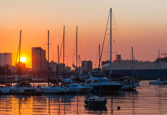 Durban
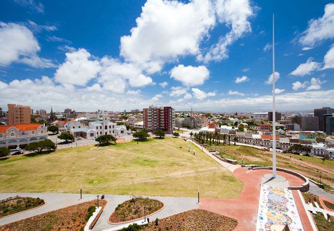 Port Elizabeth
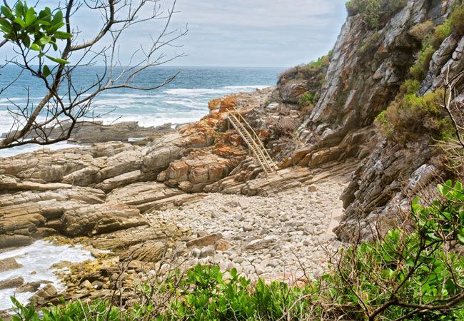 Tsitsikamma
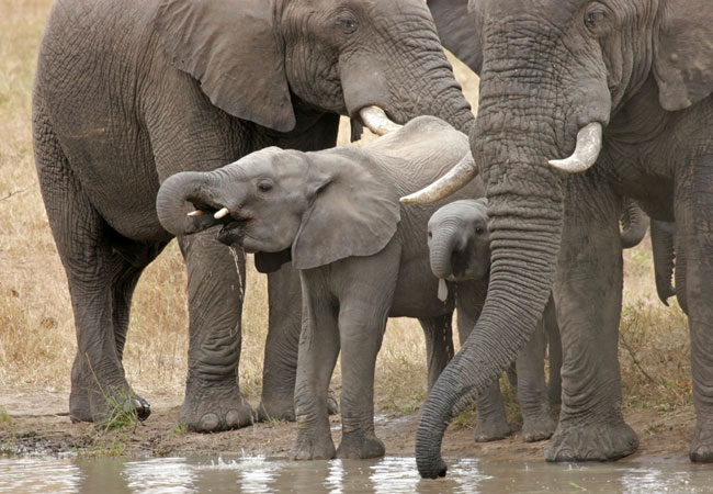 Addo Elephant Park
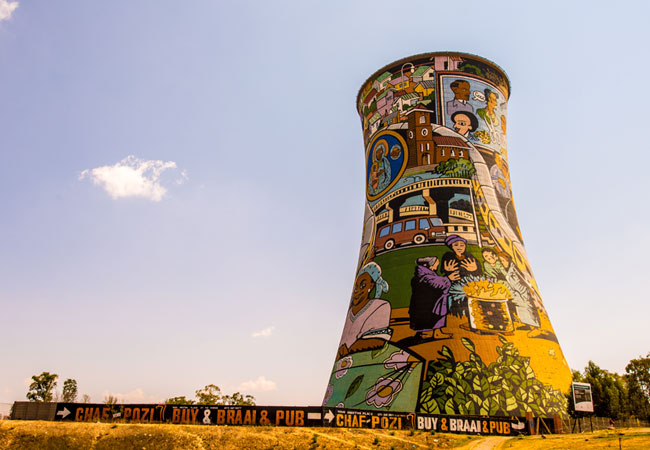 Soweto
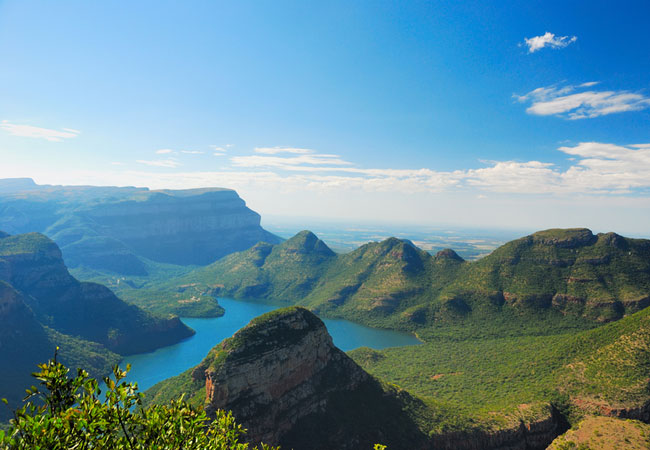 Blyde River Canyon
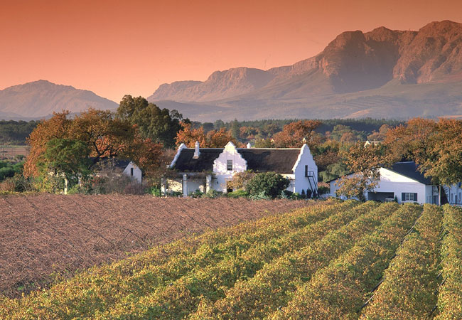 Cape Winelands
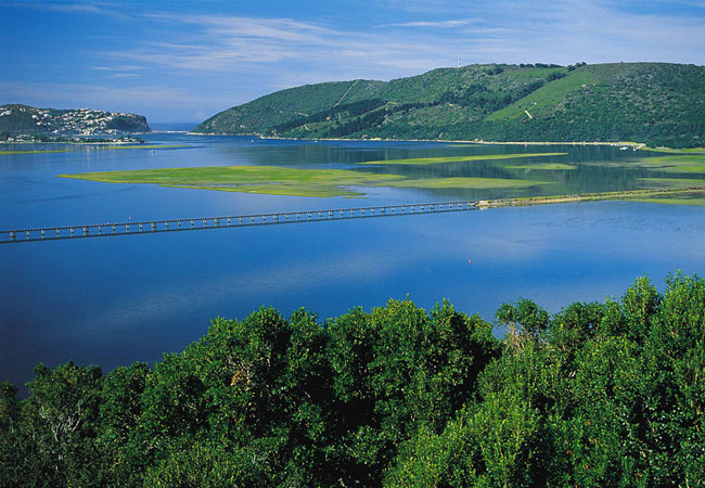 Knysna
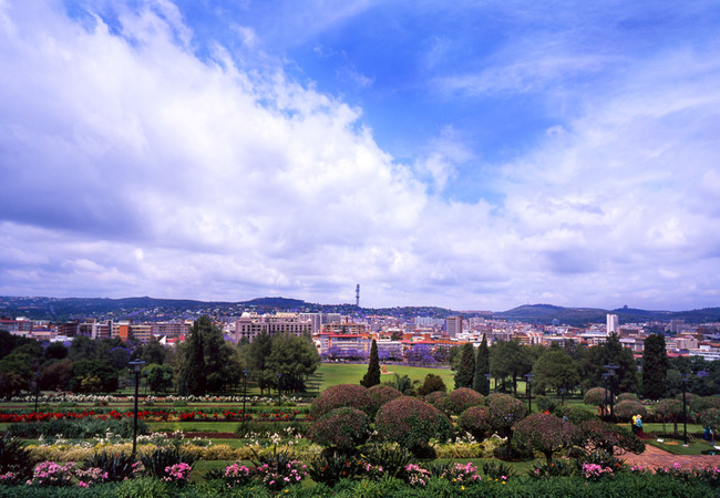 Pretoria
Weather & Climate
Tips & Information for Tourists
- Travelling to South Africa? We make it easy for you to plan your trip online. We have some useful tips for tourists and then start planning your trip with our introduction to South Africa.
- By Province
- Getting to South Africa
- Getting Around in South Africa
- South Africa's Climate
- Exchange Rates and Currency
- Maps / Atlas
- Malaria Risk Areas
- Wildlife
- Birdlife
- Plant Life
- Languages and Culture
- South African Cuisine
- Top Attractions in South Africa
- Popular Tourist Routes
- Travel & Tourism Resources
- Find a Hotel
SA-Venues.com® has been assisting travellers with their South Africa travel plans since 1999, and is the largest, independent online travel guide for South Africa available in both English and German.
SA-Venues.com © 1999-2026. All Rights Reserved. Find and book hotels and accommodation in South Africa. Sitemap