Maps in Gauteng
A comprehensive set of maps of the Gauteng Province, South Africa. Includes a hybrid physical / political map showing the major towns of the province, the largest game reserves and the national roads, relief map showing the terrain in Gauteng and the regions of the province, street level maps of Johannesburg, Midrand, Rosebank, Sandton and Soweto, and maps of the Johannesburg Metro, Pretoria Metro, Cradle of Humankind and the Magaliesberg region.
For the traveller, a map of the major attractions in Gauteng and a map of the accommodation in Gauteng. Also see Gauteng National Parks, Nature Reserves and Game Reserves or Golf Courses in Gauteng (plotted on a map of the province).
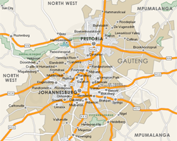
Provincial
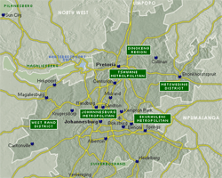
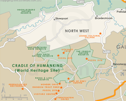
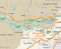
Regional
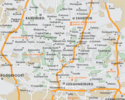
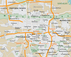
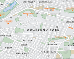
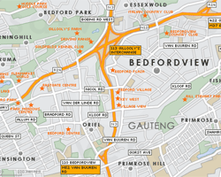
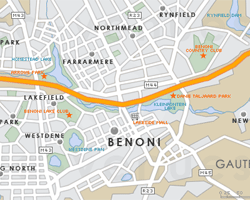
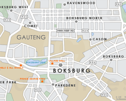
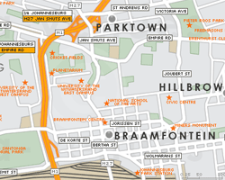
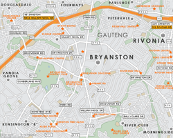
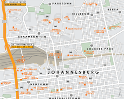
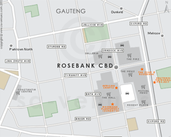
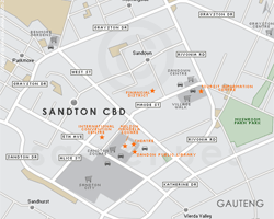
Street Level

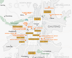
In the vicinity
Hotels & other accommodation options
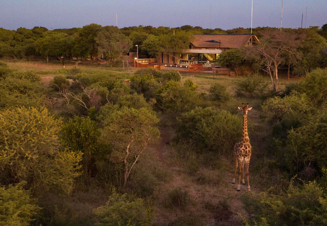
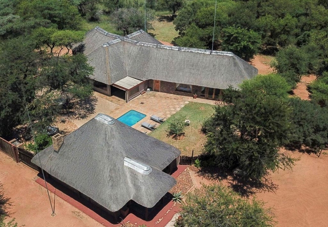
NAKO Safari Lodge
Located in the Pride of Africa Nature Reserve, Dinokeng, NAKO Safari Lodge offers guests a 5 Star, Big 5 Safari getaway just 1 hour from Johannes...
Tshikwalo Guest House
Mokha Guest House is located near to Klipdrift, within the Dinokeng Game Reserve and offers comfortable accommodation for up to 10 guests. Tshikw...
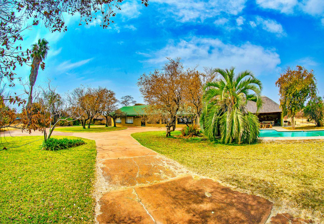
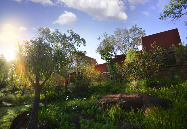
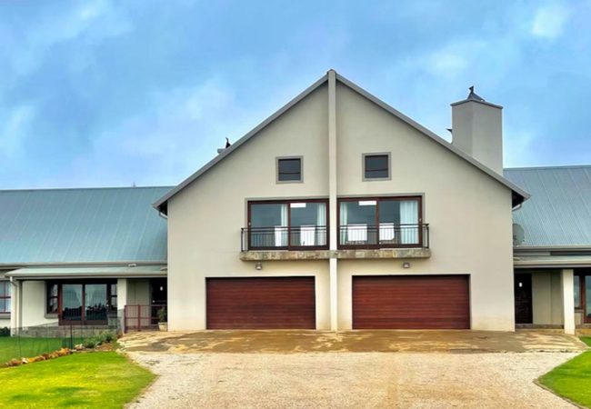
Picturesque Garden Villa
Located in the heart of Illovo, Picturesque Garden Villa is set on a gated road, featuring a vine-covered walkway that leads past a water feature...
Siyaya Homestead
Siyaya Homestead is located on the malaria free Pride of African Nature Reserve within the Dinokeng Game Reserve. At Siyaya Bush Lodge you can en...
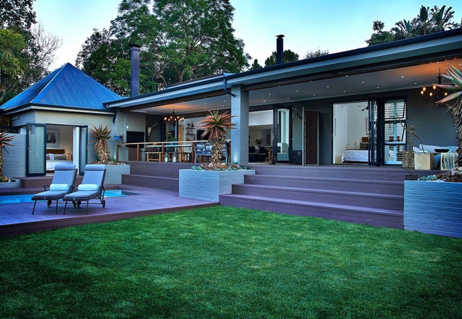
Hayward's Safari House
Elegantly appointed in simplistic safari style, Hayward's Safari House is an ideal weekend accommodation getaway for those looking for peace and ...
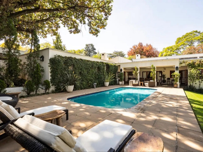
The Residence Boutique Hotel
The Residence is a one of a kind boutique hotel. No effort has been spared in creating the most exquisite surroundings that surpass your greatest...
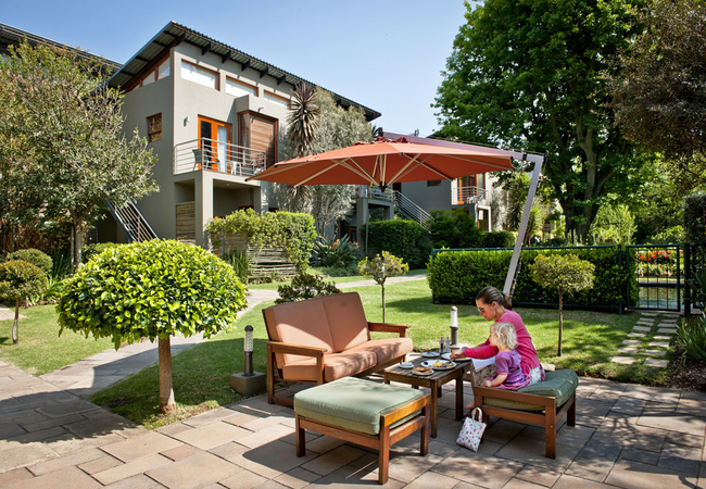
The Peech Hotel
The Peech Hotel is Joburg's newest boutique hotel. Situated centrally in Melrose, The Peech features luxurious rooms, contemporary design and ple...
On-Nkwe Accommodation
Located in the idyllic city of Pretoria, On-Nkwe Accommodation is a charming self-catering holiday home in Pretoria that is perfect for an escape...
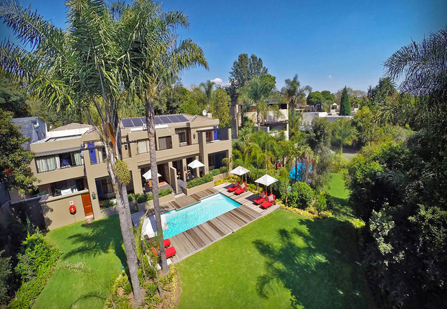
Villa Lechlade
Villa Lechlade offers stylish accommodation in the heart of Sandton. Relax on the terrace and marvel as the sun sets over the Sandton skyline fro...
Noteworthy attractions
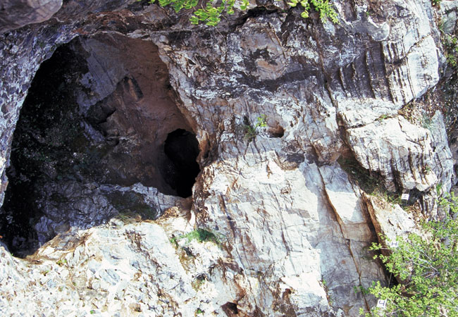
Sterkfontein Caves
The Sterkfontein Caves are a series of limestone caves 50 kilometres north west of Johannesburg that are not only the richest, but most productiv...
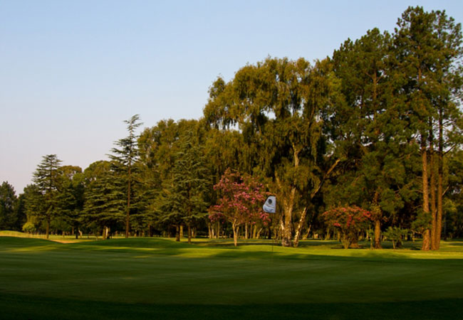
Benoni Country Club
Benoni Golf Course and Country Club is located on Johannesburg's East Rand and serves as a wonderful break from the city yet remains within the c...

Benoni Lake Golf Club
One of the four large expanses of water that form a chain through this East Rand municipality is known as Middle Lake, and it is on the shores of...
Blue Valley Golf Estate
Named for the blue skies and open country of its surroundings, the Gary Player designed Blue Valley is a perfect blend of hospitality, sport and ...
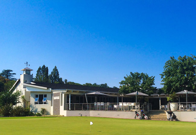
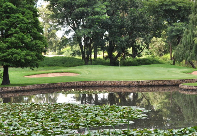
Bryanston Golf Course
The cover is cynodon, which is a strain of bent grass. Another feature of the Bryanston Golf course is the abundance of water hazards and it's po...
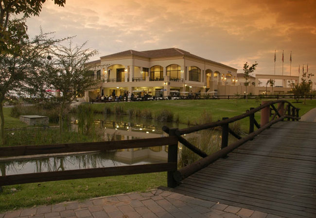
Centurion Country Club
Centurion Golf Course is an excellent Golfing Estate with a very challenging golf course designed by Peter Matkovich. Two different nines, where ...

Crown Mines Golf Club
South Africa is famous for its gold, and Crown Mines Golf Club is built in genuine mining country, just a few kilometres southeast of central Joh...
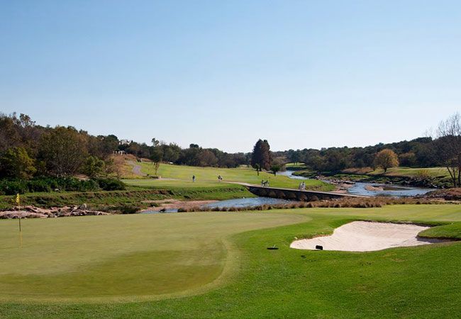
Dainfern Golf Course
Dainfern Country Club golf course is a bold and beautiful Gary Player design. There are big, undulating greens, plenty of interesting water holes...
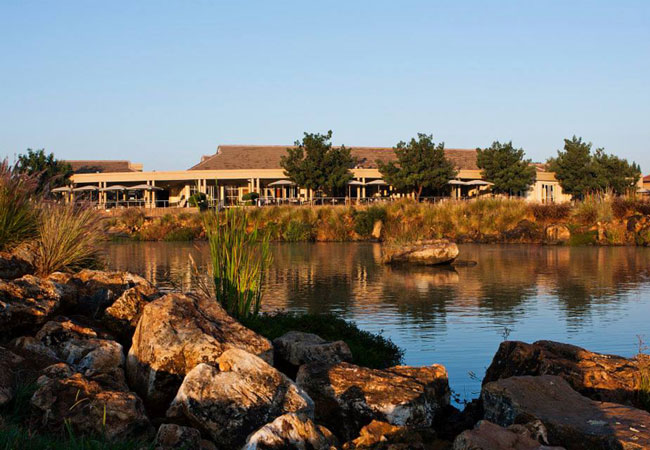
ERPM Golf Course
The ERPM Golf course has bent grass greens and kikuyu fairways, and has a flat parkland layout. The long-time home of US Senior PGA star John Bla...
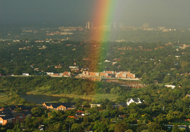
Gauteng as a destination
Why book with SA-Venues.com
- Your card is safe with us; strictest card verification in the industry and we don't store card numbers.
- No airy fairy service fees; you save!
- We care. Service with integrity.
- Multiple payment methods:
credit card, SID instant EFT, bank transfer. - All Gauteng property owners / managers are verified (our experience protects you from online fraud).
- Secure your booking
 Randburg
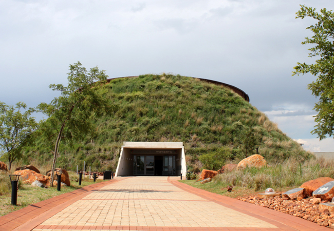 Cradle of Humankind
 Centurion
 Magaliesberg
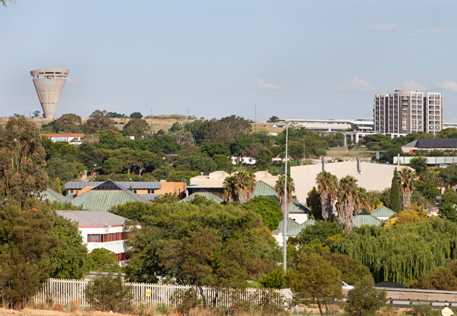 Midrand
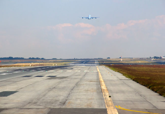 OR Tambo Intl.
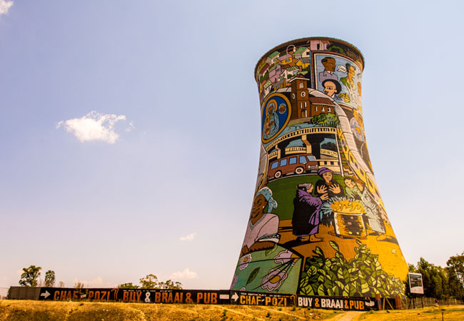 Soweto
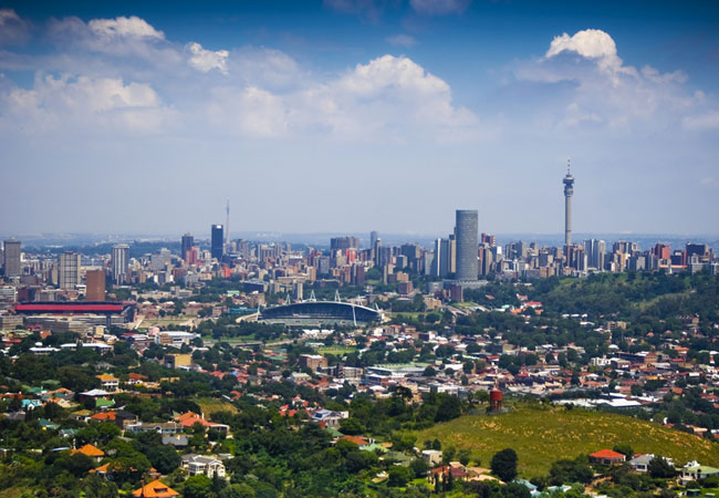 Johannesburg
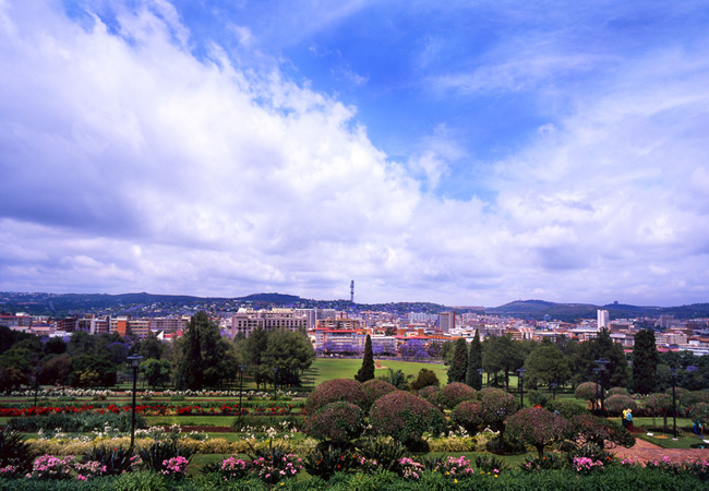 Pretoria
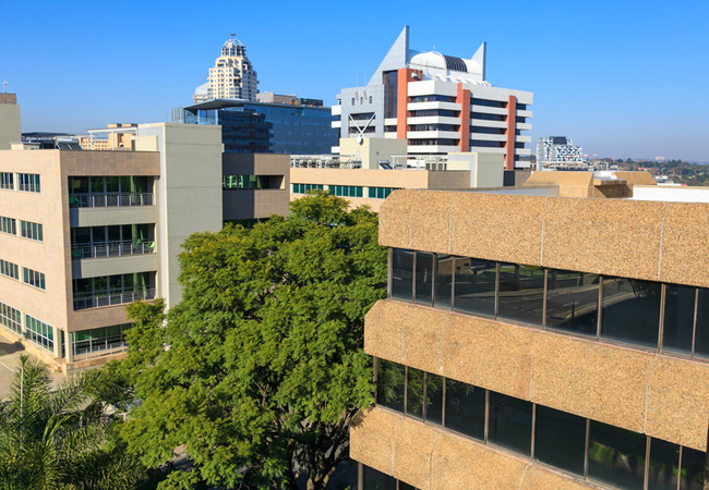 Sandton
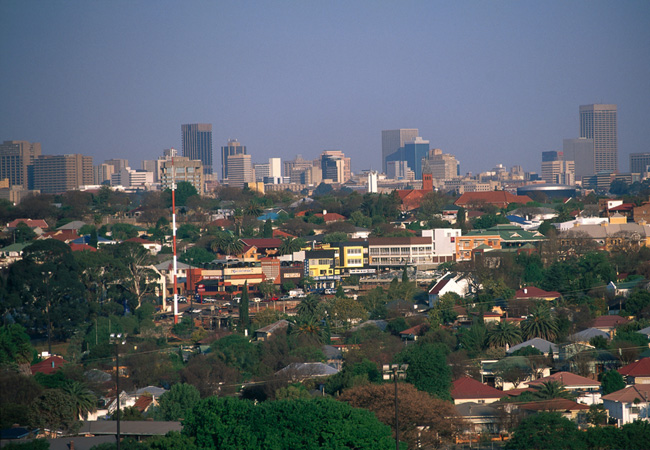 Melville
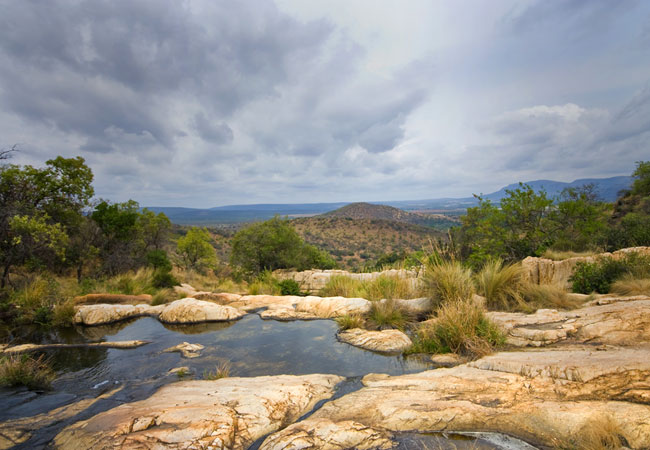 Muldersdrift
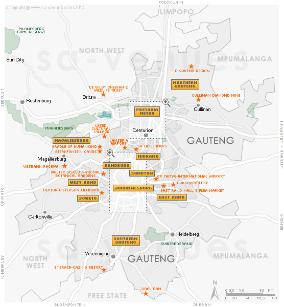