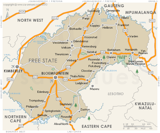
Hybrid Physical / Political Map in Free State
A hybrid physical / political map in Free State indicating the major cities and towns, game and nature reserves and national roads. This map in Free State will help the traveller to pinpoint which towns and cities they might be interested in visiting, as it shows which lie inland, which are coastal and which are en-route to well-known destinations via national roads.
Maps of the Free State
Provincial Maps
Street Level Maps
Special Interests by Map
In the vicinity
Hotels & other accommodation options
Tiger Canyon Private Game Reserve
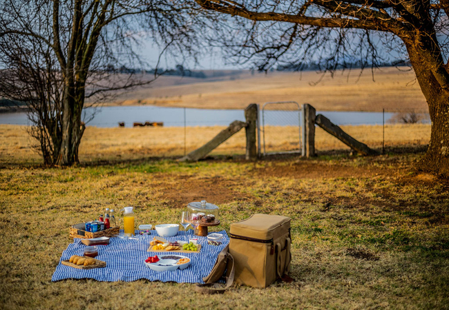
Tiger Canyon Private Game Reserve sits on 6100-hectares of prime Karoo landscape with various separate territories for the wild tigers and cheeta...
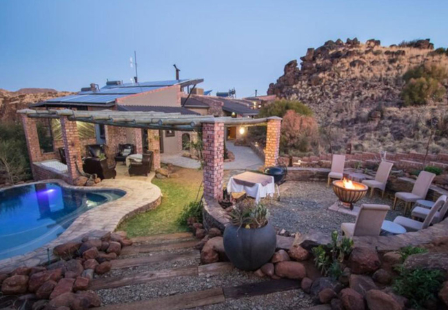
Letlapa Metsi
Letlapa Metsi is a stunning self catering home on 7 hectares of land with over 120m of private Vaal Dam waterfront. The property is architect-des...
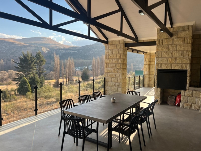
Roos House
Roos House offers comfortable accommodation in Clarens along the foothills of the Maluti Mountains. From here you only 6km from the town centre ...
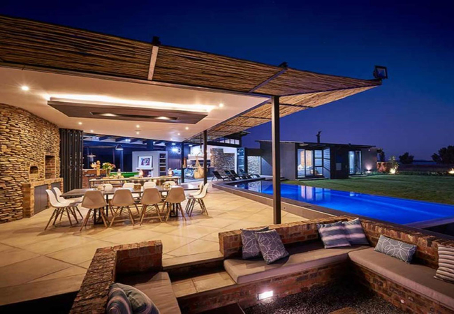
Golfers View @ 101
This fully furnished, double-storey vacation home features four bedrooms and four bathrooms, ensuring ample space and privacy for all guests. The...
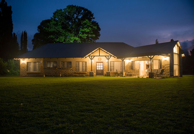
Waterford House
Situated in the picturesque Clarens Golf Estate, Waterford House Holiday Home in Clarens offers accommodation for eight guests. There are a numbe...
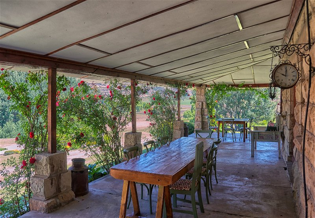
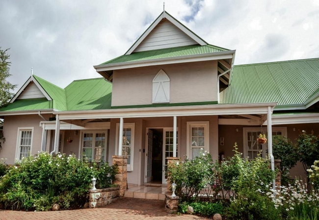
Beauchef Farm House
Beauchef Farm House accommodates 13 guests in four bedrooms. The lounge, which has a cosy fireplace, is comfortably furnished and includes a slee...
Talking Trees Self-Catering House
Talking Trees offers comfortable self catering accommodation in Clarens. This three bedroom holiday home offers peaceful comfort, which makes vis...
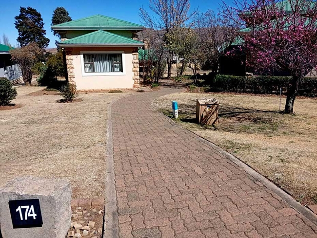
Clarens Golf Villa 174
Positioned on the lower slopes of Mount Horeb, Clarens Golf Villa 174 provide guests with sweeping views of the Clarens valley and the surroundin...
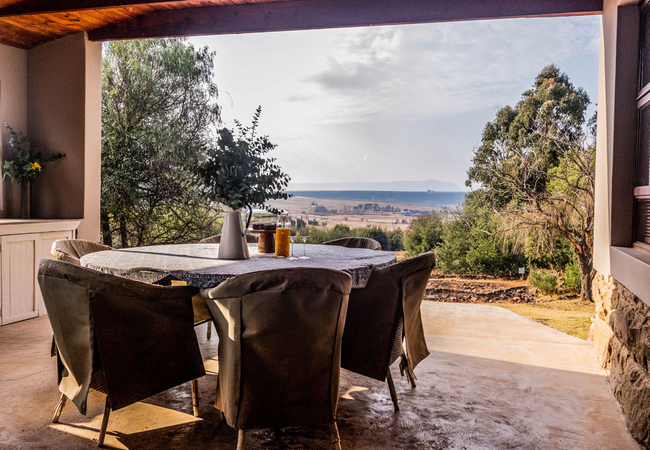
Buffalo Hills Fishing Cottage
Buffalo Hills Fishing Cottage is located at Buffalo Hills Private Game Reserve which is situated about 30km south of Harrismith near the Sterkfon...
Noteworthy attractions
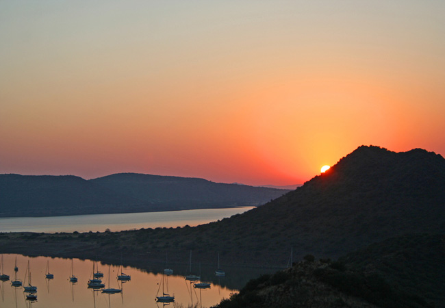
Gariep Dam Nature Reserve
The Free State's largest nature reserve is a combination of the 36 487 ha Gariep Dam on the Orange River and an 11 237 ha game sanctuary on its n...
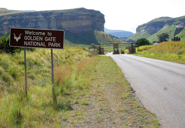
Golden Gate National Park
Nestled in the rolling foothills of the Maluti Mountains of the north-eastern Free State lies the Golden Gate Highlands National Park. The park d...
Sandveld Nature Reserve
Regarded as the Free State's top birding spot, Sandveld Nature Reserve lies on the Free State side of the Bloemhof Dam roughly 200 kilometres nor...

Seekoeivlei Nature Reserve
Just north of the little town of Memel where the Free State borders Mpumalanga and KwaZulu Natal, close to the Drakensberg Escarpment, and roughl...
Soetdoring Dam Nature Reserve
Soetdoring Nature Reserve has two entrances. The eastern entrance is at the Modder River on the Bloemfontein / Bultfontein road (R700). Here visi...
Sterkfontein Dam Reserve
Rugged, steep krantzes silhouetted against the skyline, mountain slopes snugly covered with a grass blanket, deep lushly vegetated kloofs and a c...
Willem Pretorius Game Reserve
The Willem Pretorius Game Reserve is situated in the heart of the Free State with the Allemanskraal Dam forming the central part. The reserve its...

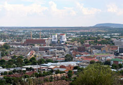
Bloemfontein Golf Club
The Bloemfontein Golf Club is situated about 6 kilometres from the city centre just off Maselspoort Road - more commonly known as the Airport Roa...
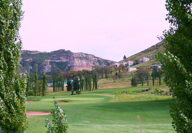
Clarens Golf Estate
The par 71 golf course, designed and constructed by Golf Data, is bound to excite every level of golfer. All 18 holes meander along and across th...
Free State as a destination
Why book with SA-Venues.com
- Your card is safe with us; strictest card verification in the industry and we don't store card numbers.
- No airy fairy service fees; you save!
- We care. Service with integrity.
- Multiple payment methods:
credit card, SID instant EFT, bank transfer. - All Free State property owners / managers are verified (our experience protects you from online fraud).
- Secure your booking
 Bloemfontein
 Clarens
 Parys
Parys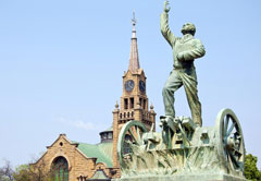 Kroonstad
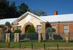 Fouriesburg
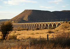 Bethulie
 Gariep Dam
 Smithfield
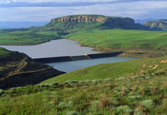 Harrismith
 Deneysville
 Welkom
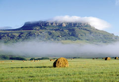 Bethlehem