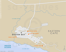
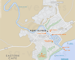
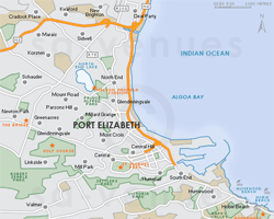
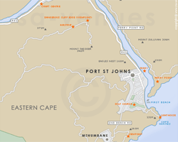
Maps of the Eastern Cape
A comprehensive set of maps of the Eastern Cape, South Africa. Includes a hybrid physical / political map showing the major towns of the province, the largest game reserves and the national roads, relief map showing the terrain in the Eastern Cape and the regions of the province, street level maps of Port Elizabeth CBD, East London, Grahamstown and Jeffreys Bay, and maps of the Port Elizabeth Metro and the Greater Addo Region.
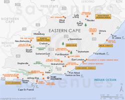
For the traveller, a map of the major attractions in the Eastern Cape and a map of the accommodation in the Eastern Cape. Also see Eastern Cape National Parks, Nature Reserves and Game Reserves or Golf Courses of the Eastern Cape (plotted on a map of the province).
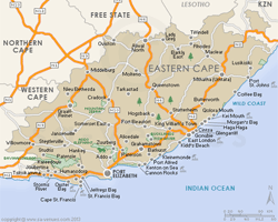
Provincial
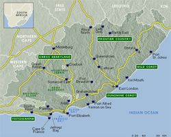
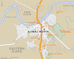
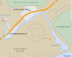
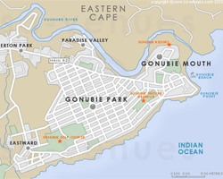
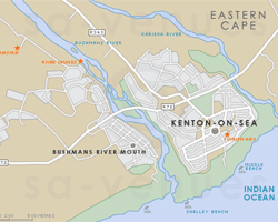
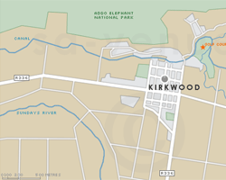
Regional
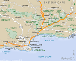
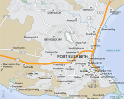
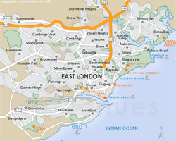
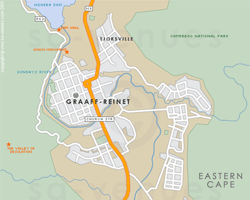
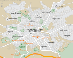
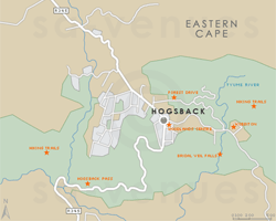
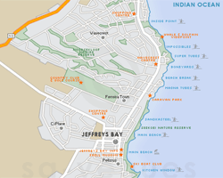
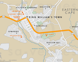
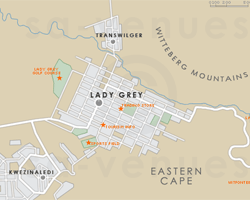
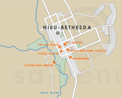
Street Level


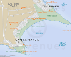
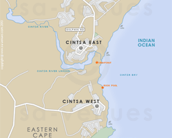
In the vicinity
Hotels & other accommodation options
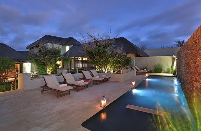
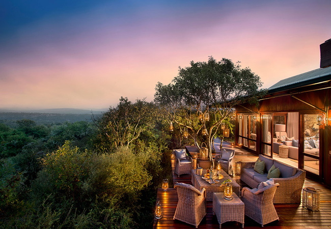
Sarili Private Villa
Sarili Lodge in the Shamwari Game Reserve is a luxury lodge exclusively for families. An environmentally friendly private African thatch designed...
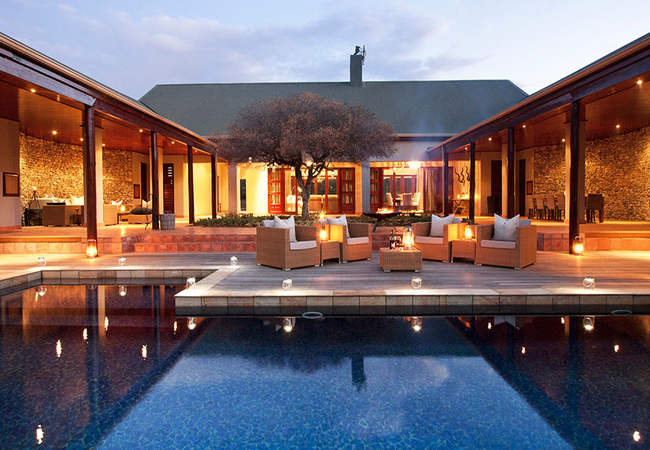
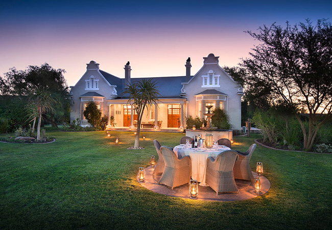
Kwandwe Melton Manor
Kwandwe Melton Manor is a private space that inspires the sharing of meals, laughter and experiences around the farmhouse table. Grand views of t...
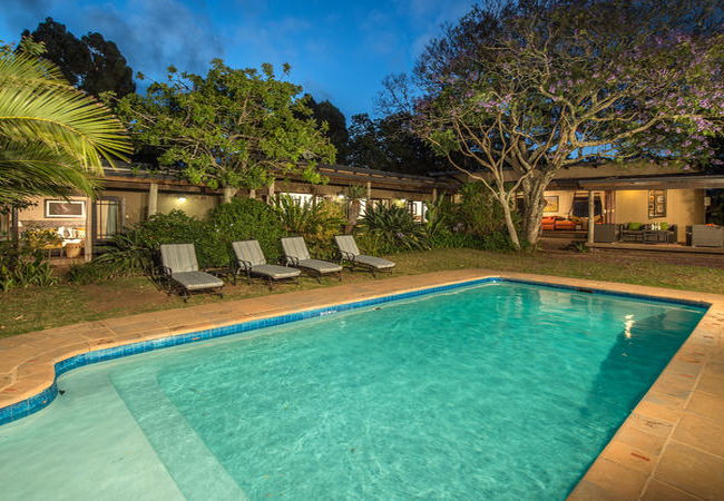
Kwandwe Fort House
Warmth and comfort embodies the refined private spaces of the Fort House in Kwandwe Private Game Reserve. The private villa has been elegantly de...
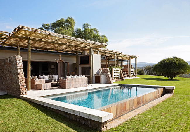
Samara Manor House
Spanning 28,000 hectares of untouched wilderness, Samara Private Game Reserve offers an extraordinary malaria-free safari experience for wildlife...
Plains Camp at Samara
Plains Camp delivers an off-grid experience defined by simplicity, natural beauty, and a sense of deep reconnection with the land. With no electr...
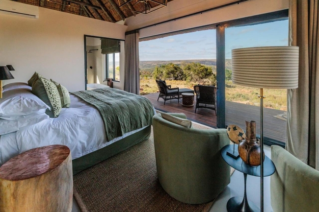
Kwandwe Uplands Homestead
The African wilderness of which childhood dreams are made is found at Kwandwe Uplands Homestead. An intimate private safari home imbued with old-...
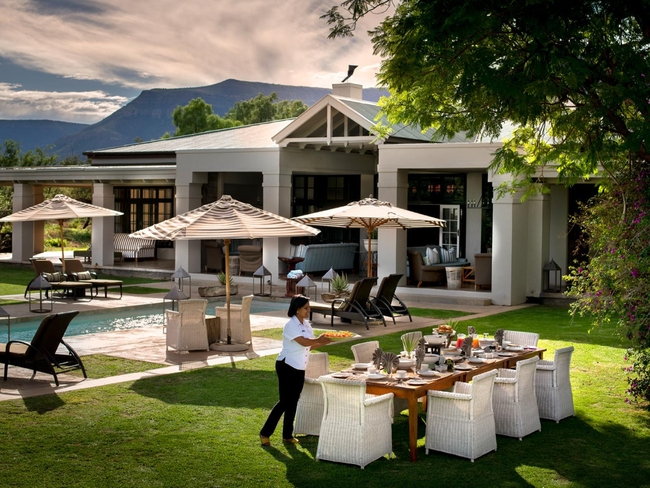
The Homestead at Kariega
Located in the makaria-free Kariega Game Reserve, The Homestead is a private lodge which offers its' guests all the comfort, convenience and luxu...
Woodbury Manor
Woodbury Manor is an exclusive-use safari villa, offering luxurious accommodation within the famed Big 5 Amakhala Game Reserve. Tailored to meet ...
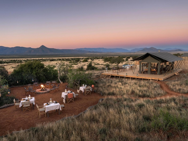
Kwandwe Ecca Lodge
Set in the heart of the Private Reserve in thick vegetation overlooking a dense valley, Ecca Lodge offers breathtaking views onto an escarpment o...
Noteworthy attractions
Mkambati Nature Reserve
Flanked on either side by the forested ravines of the Msikaba and Mtentu Rivers, Mkambati Nature Reserve is 8000 hectares of coastal reserve that...
Seaview Lion Park
As you drive through the Seaview Predator Park with an amazing 360 degree view of the Indian Ocean you will see the free roaming Giraffe, Zebras...
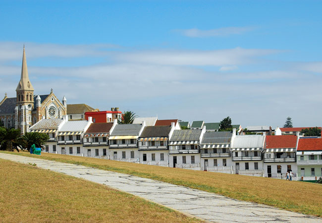
Donkin Heritage Trail
The Donkin Heritage Trail is named after the Acting Governor of the Cape Colony at the time, Sir Rufane Donkin. South Africans are well acquainte...
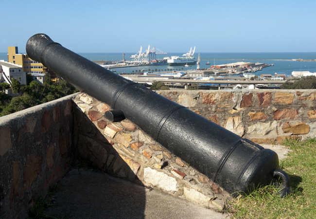
Fort Frederick
Like many national monuments, Fort Frederick first appears as little more than a few brick walls, albeit old walls that seem to hold little signi...
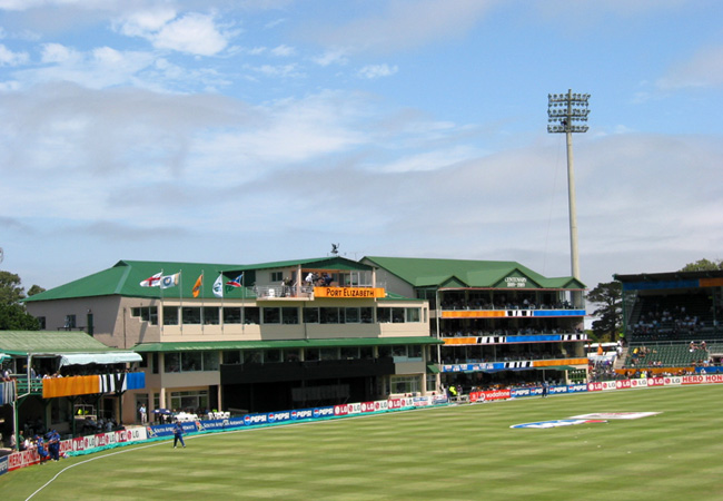
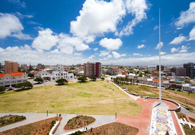
St Georges Park Cricket Ground
The oldest park in Port Elizabeth and the site of the second oldest cricket club in the country, St George's Park lies in the heart of Port Eliza...
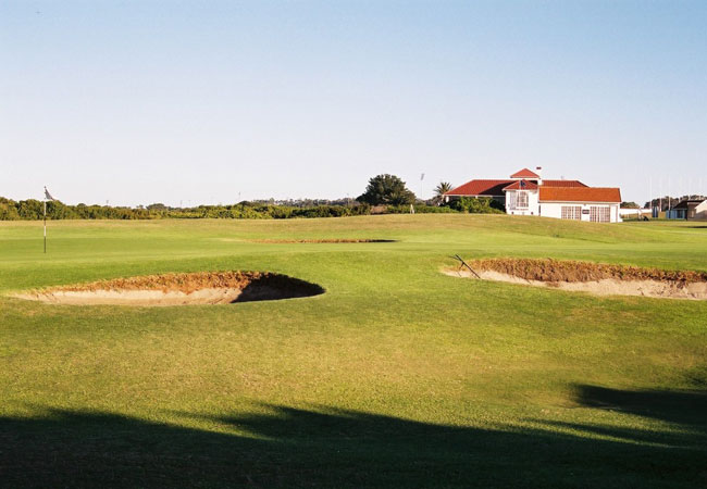
Humewood Golf Club
One of South Africa's top-rated golf clubs, Humewood is a true Links course which has hosted numerous PGA events, including the South African Ope...
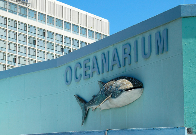
Bayworld Museum Complex
The Main Museum of Bayworld blends cultural and natural history. Embark on an exciting journey through time and through the fascinating world aro...
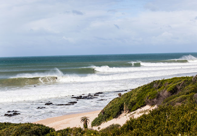
Eastern Cape Beaches
The Eastern Cape in South Africa boasts some of the world's best beaches and 800 km of unspoilt picturesque coastlines where blue oceans tumble o...
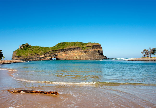
Hole In The Wall
The Hole in the Wall at Coffee Bay is a unique structure with a huge detached cliff that has a giant opening carved through its centre by the wav...
Eastern Cape as a destination
Why book with SA-Venues.com
- Your card is safe with us; strictest card verification in the industry and we don't store card numbers.
- No airy fairy service fees; you save!
- We care. Service with integrity.
- Multiple payment methods:
credit card, SID instant EFT, bank transfer. - All Eastern Cape property owners / managers are verified (our experience protects you from online fraud).
- Secure your booking
 Port Elizabeth
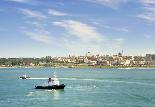 East London
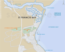
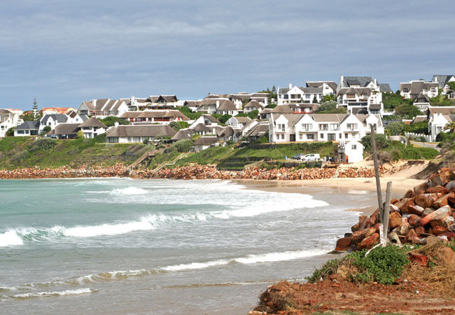 St Francis Bay
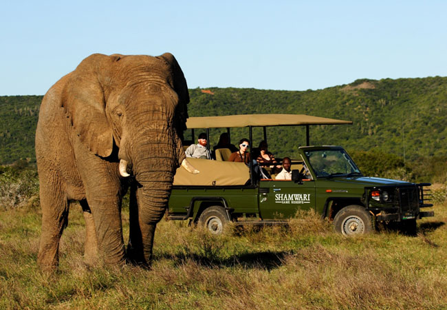 Shamwari
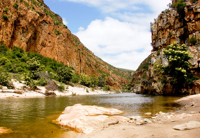 Baviaanskloof
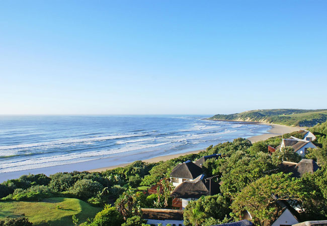 Cintsa
 Hogsback
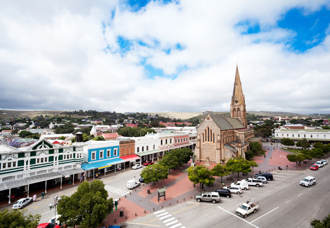 Grahamstown
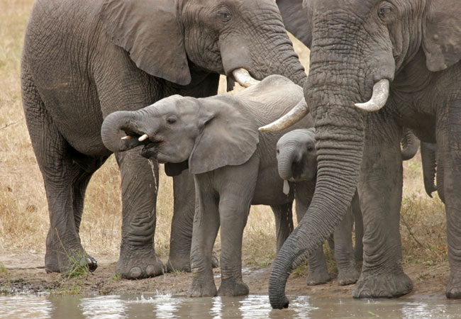 Addo Elephant Park
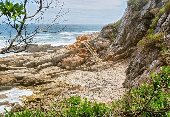 Tsitsikamma
 Kenton On Sea
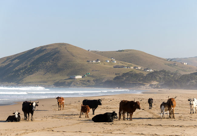 Wild Coast
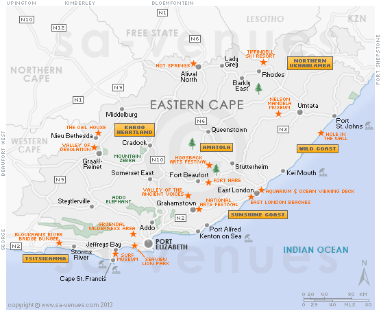