Golf Courses in Free State
A golfing trip to the Free State is a great idea for those that want to enjoy pretty landscapes and historical flair during their South African holiday. This province boasts a variety of excellent golf courses with great facilities and amenities. These are ideal for novices that just want to refine their swing, as well as for seasoned golf pros that want to put their skills to the test. The Free State is a province of vast spaces, high African skies, and plenty of wildlife. These can be savoured on the greens and fairways of its golf courses.
Click on the course you wish to visit on the Free State map or select from the full list below, to view additional information about the golf course and for listings of all lodges listed in the relevant area.
Golf Courses in Free State
The Bloemfontein Golf Club was established in 1894 and has hosted a number of tournaments and other events over the years. The course (which is a little younger) was designed by Matkovich and Grimsdell, and is a tough one with plenty of challenges along it. Book a round of golf and a place to stay in Bloemfontein when you visit the City of Roses.
For golfers staying in Clarens affords them the opportunity to play the Par 71 Clarens Golf Course located on the Clarens Golf & Trout Estate is bound to excite every level of golfer. It is situated on the banks of the river, which means that almost every hole has a "water hazard" of a different kind. Share your fairways with thousands of pink flamingos at the Oppenheimer Park Golf Club in Welkom, where there is also a clubhouse and bar.
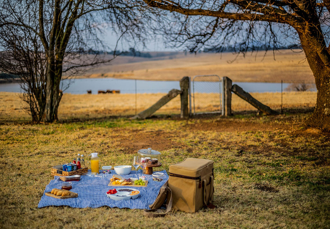
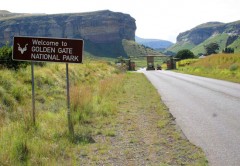
After a few days spent on the greens, head to the trout dams or the Vaal River for some excellent fishing or see the spectacular wildlife at the Golden Gate National Park. The Free State is wonderful to explore and is home to a range of guesthouses, lodges and B&Bs.
Caddies are available at most golf courses. Exceptions are on cart-only golfing estates and at certain golf and housing estates. Golf carts are limited on many of the courses in Free State and prior booking is advised.
Staying Overnight
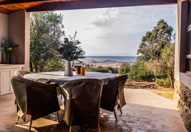
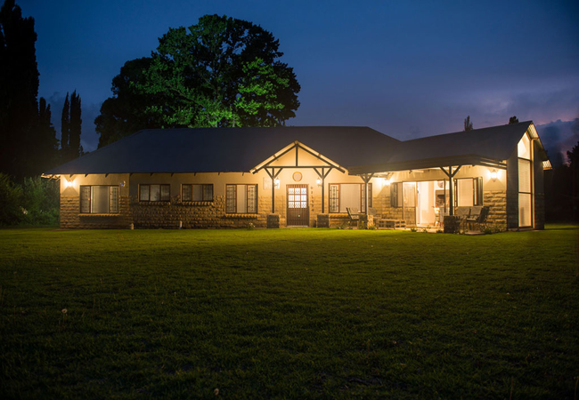
Tourists staying in Free State to enjoy their favourite past time might want to take in some of the more popular attractions in the area. See the best of in Free State by staying in Gariep Dam, Clarens, Ficksburg, Bloemfontein, Fouriesburg.
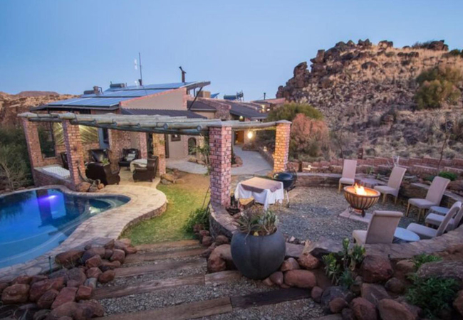
Tiger Canyon Private Game Reserve
Tiger Canyon Private Game Reserve sits on 6100-hectares of prime Karoo landscape with various separate territories for the wild tigers and cheeta...
Letlapa Metsi
Letlapa Metsi is a stunning self catering home on 7 hectares of land with over 120m of private Vaal Dam waterfront. The property is architect-des...
Roos House
Roos House offers comfortable accommodation in Clarens along the foothills of the Maluti Mountains. From here you only 6km from the town centre ...
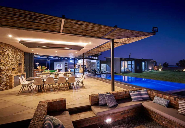
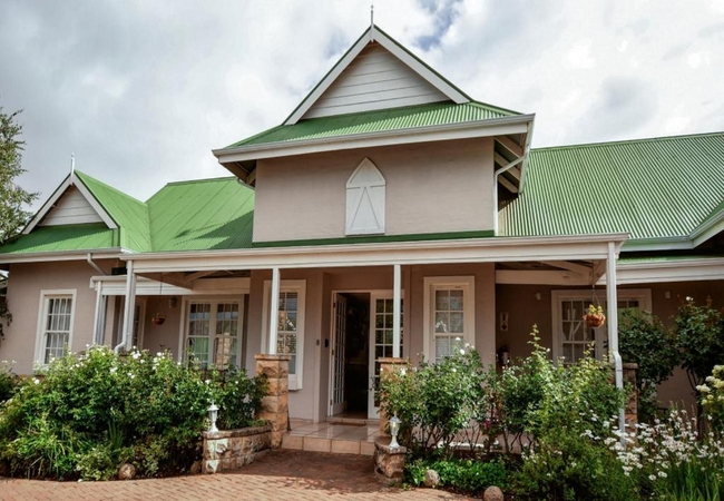
Golfers View @ 101
This fully furnished, double-storey vacation home features four bedrooms and four bathrooms, ensuring ample space and privacy for all guests. The...
Waterford House
Situated in the picturesque Clarens Golf Estate, Waterford House Holiday Home in Clarens offers accommodation for eight guests. There are a numbe...
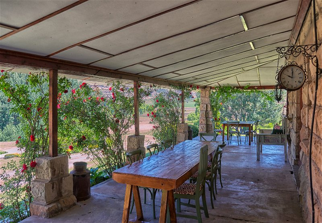
Beauchef Farm House
Beauchef Farm House accommodates 13 guests in four bedrooms. The lounge, which has a cosy fireplace, is comfortably furnished and includes a slee...
Talking Trees Self-Catering House
Talking Trees offers comfortable self catering accommodation in Clarens. This three bedroom holiday home offers peaceful comfort, which makes vis...
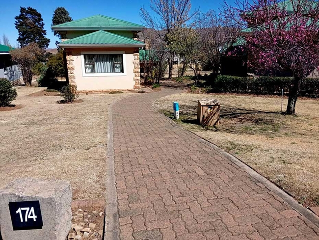
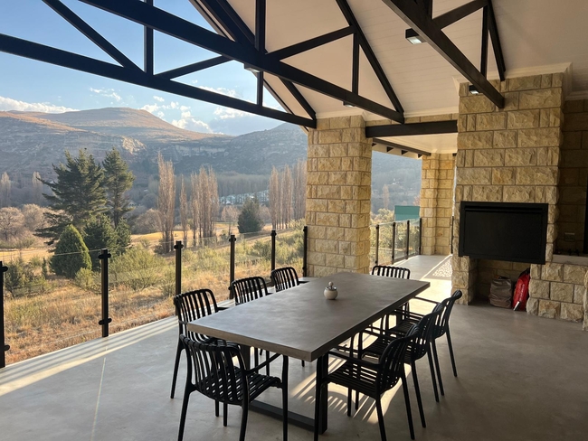
Clarens Golf Villa 174
Positioned on the lower slopes of Mount Horeb, Clarens Golf Villa 174 provide guests with sweeping views of the Clarens valley and the surroundin...
Buffalo Hills Fishing Cottage
Buffalo Hills Fishing Cottage is located at Buffalo Hills Private Game Reserve which is situated about 30km south of Harrismith near the Sterkfon...
Related Pages
Free State Attractions
The Free State is a rural province of wide horizons and blue skies, with farmland, mountains, goldfields and widely dispersed towns. This tranquil land of the windmill is famous for its warm South African hospitality and a mix of culture evident in street names, public buildings, monuments and museums.
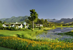
Free State Golf Lodges
Find accommodation on or near (within 100 metres) one of Free State's prestigious golf courses and enjoy your favourite past time while on holiday in our beautiful country. Accommodation ranges from comfortable to luxury and from self-catering to B&B or fully-catered.
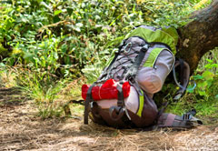
Free State Hiking Trails
The Free State offers many interesting and fantastic hiking trails that range from being educational to eco routes. There are an abundance of hiking trails traversing differing terrains. Overnight facilities on hiking trails throughout the region are standard and enable the hiker to enjoy the spacious ...