Showing 1 to 7 of 7 - Accommodation in Scarborough
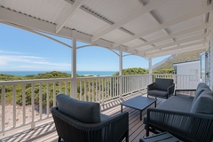
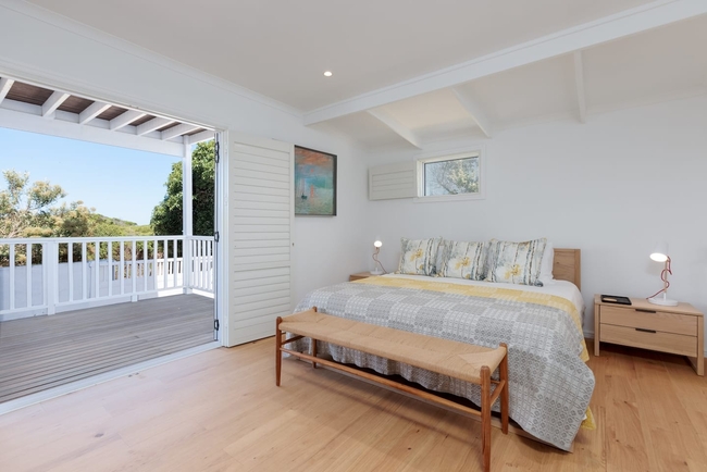
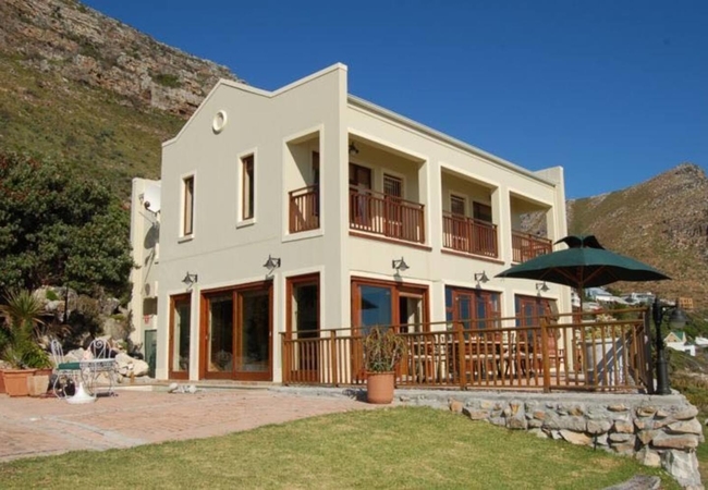
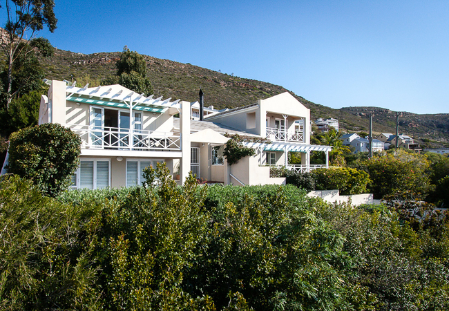
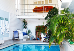
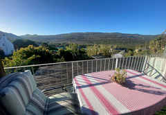
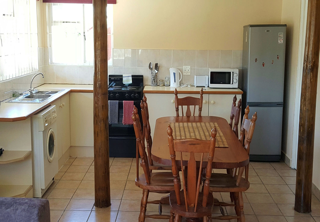
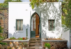
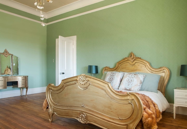
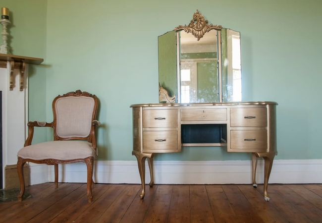
Misty Cliffs Self Catering
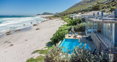
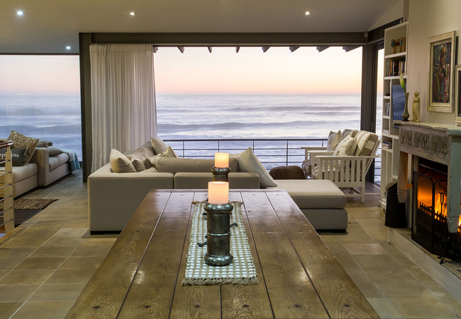
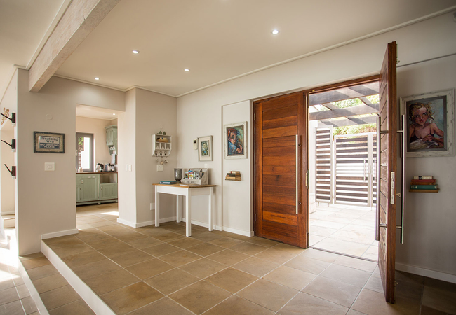
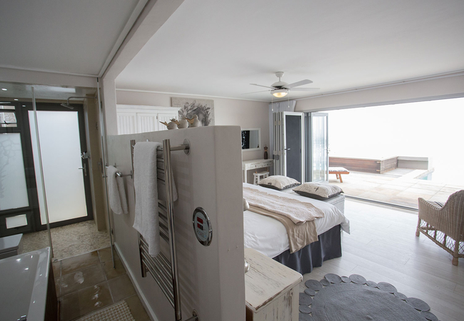
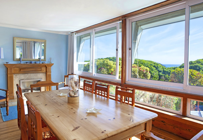
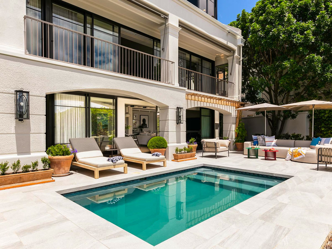
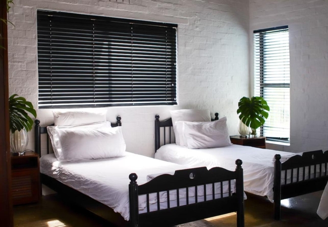
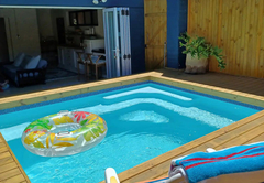
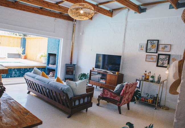
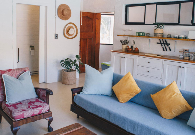
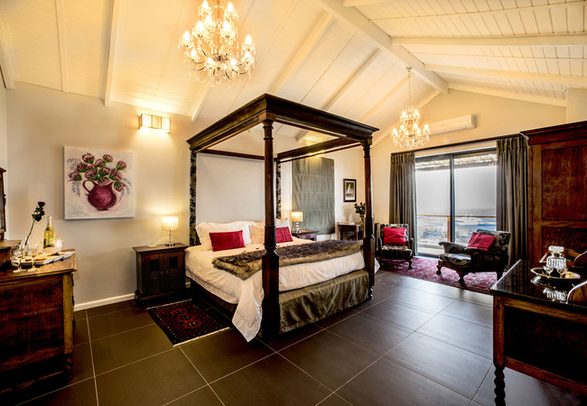
Villa Misty CliffsSleeps 8 people in 1 unit
Villa Misty Cliffs is an exquisite three bedroom villa situated right on the beach at Misty Cliffs which sleeps a ...
- all ages welcome
- hot tub
- power stays on
- parking
- swimming pool
- from 8000
- R
- 7600
- unit rate per night
for up to 8 people
instant booking possible
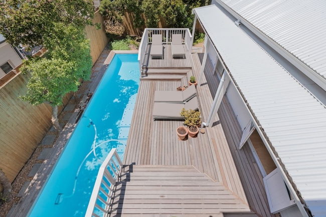
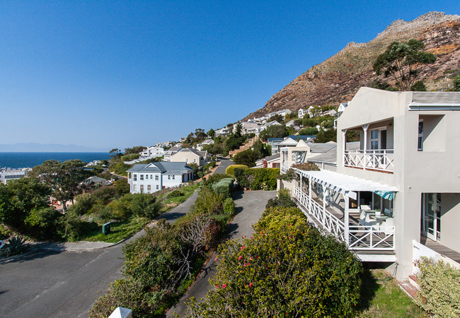
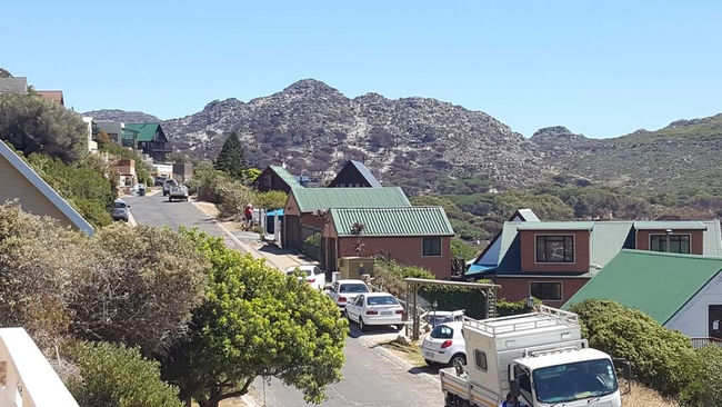
Scarborough Self Catering
Gone to the Beach VillaSleeps 8 people in 1 unit
Gone to the Beach is a well appointed holiday house for up to eight guests, positioned in Scarborough, one of Cape ...
- free wifi
- all ages welcome
- parking
- swimming pool
- from 4500
- R
- 3825
- Conditions apply
instant booking possible
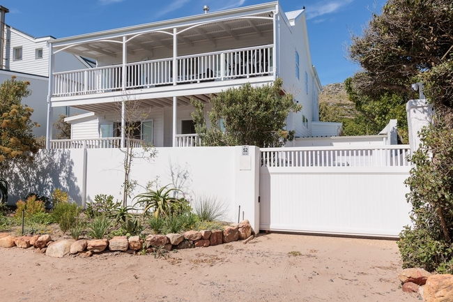
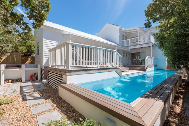
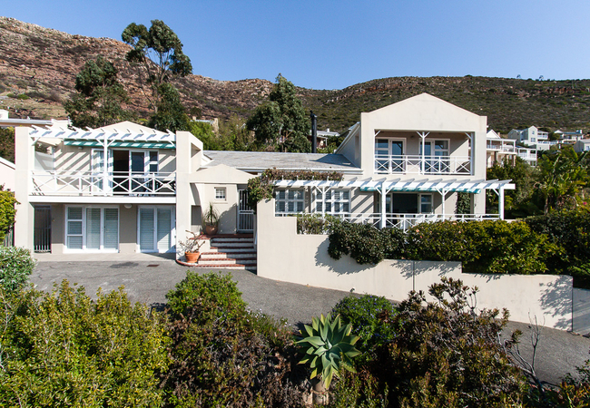
Scarborough Self Catering
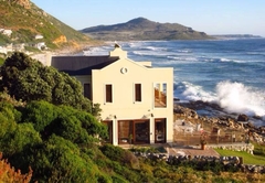
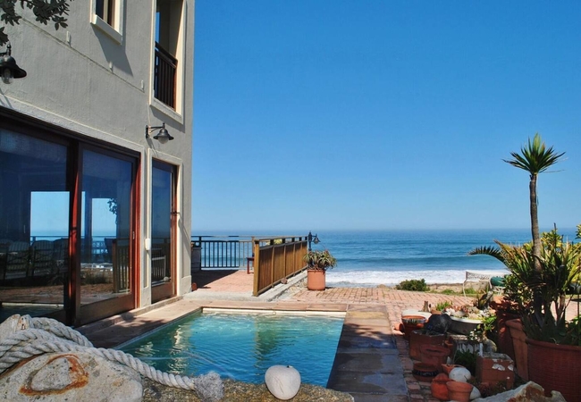
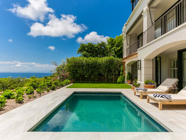
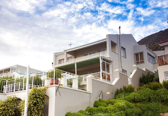
Atlantic Dream Beachfront VillaSleeps 8 people in 1 unit
This 4 star, luxury, double storey, beachfront villa offers privacy, beauty and security. If you seek a safe and ...
- free wifi
- pet friendly
- all ages welcome
- parking
- swimming pool
- airport transfers
- from 5000
- R
- 4250
- Conditions apply
instant booking possible
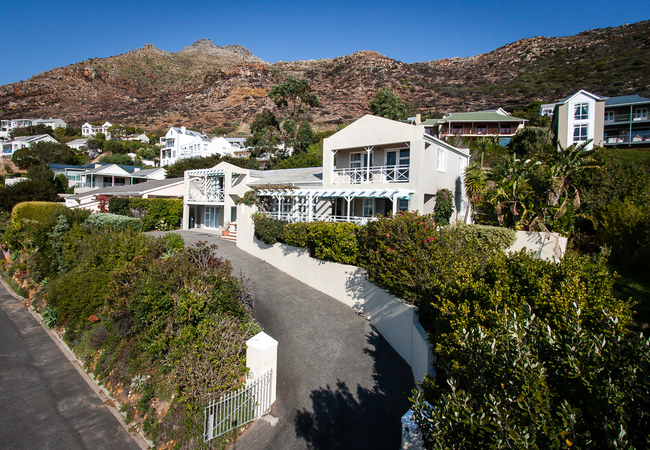
Scarborough Self Catering
Beach Break HouseSleeps 8 people in 1 unit
Beach Break House is a bright, sunny 3 bedroom home in Scarborough and is only a 2 minute walk away from the beach ...
- free wifi
- all ages welcome
- power stays on
- parking
- from 3550
- R
- 3373
- unit rate per night
for up to 8 people
instant booking possible

Scarborough Self Catering
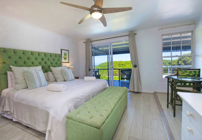
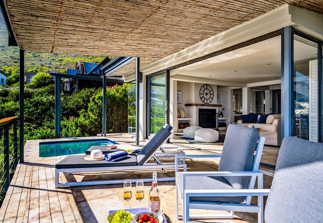
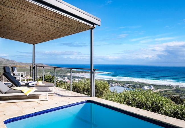
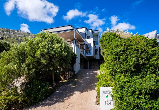
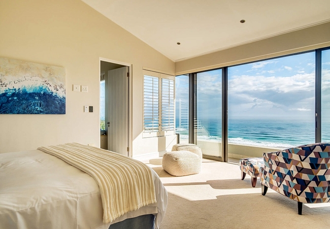
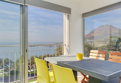
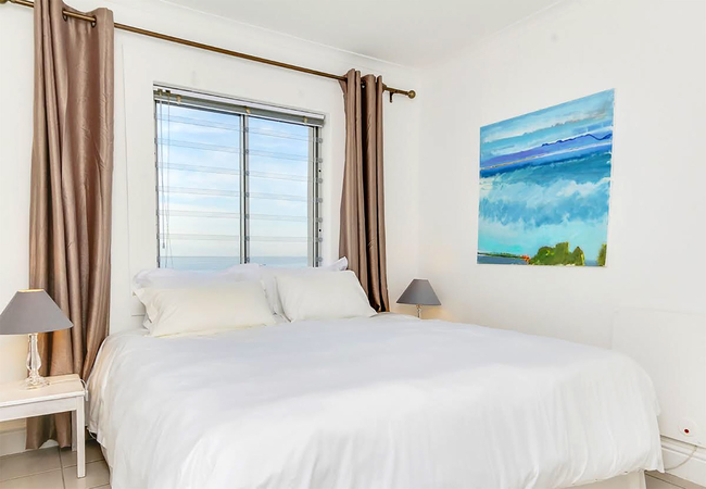
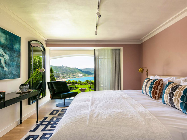
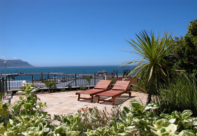
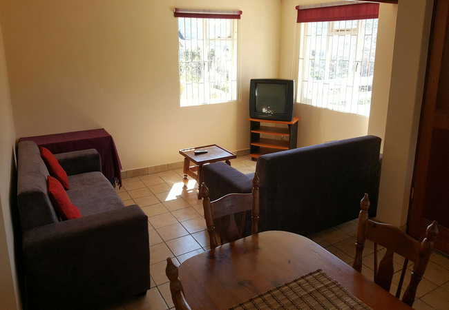
Ocean's Horizon Seaview VillaSleeps 6 people in 1 unit
Ocean's Horizon can accommodate up to six guests and comprises three en-suite bedrooms, a kitchen, and two living ...
- free wifi
- hot tub
- power stays on
- parking
- swimming pool
- from 6490
- R
- 5563
- Conditions apply
Scarborough Self Catering
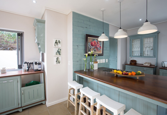
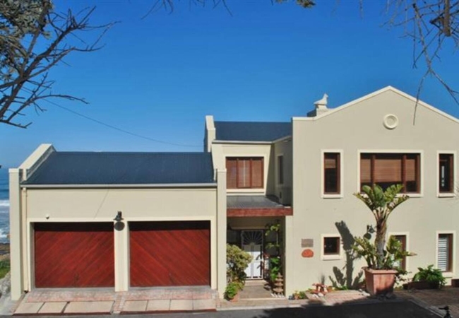
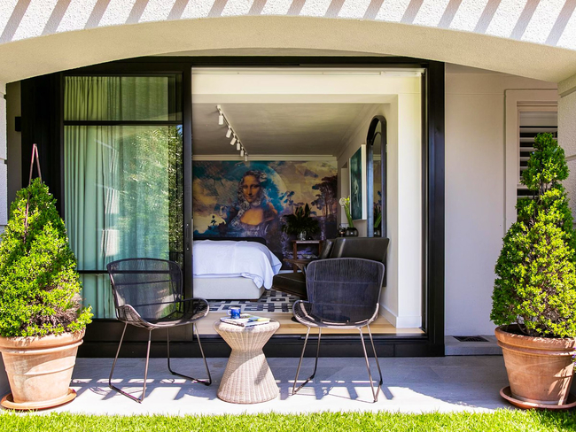
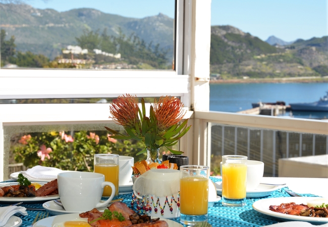
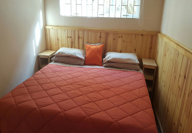
Shore House ScarboroughSleeps 8 people in 1 unit
The property offers accommodation in four stylish en-suite bedrooms for eight guests. Each bedroom is furnished with ...
- free wifi
- all ages welcome
- power stays on
- parking
- swimming pool
- tonight from
- R
- 8650
- unit rate per night
for up to 8 people

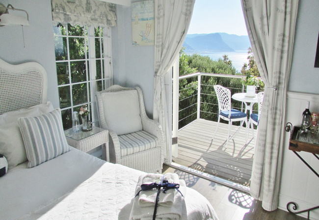
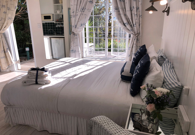
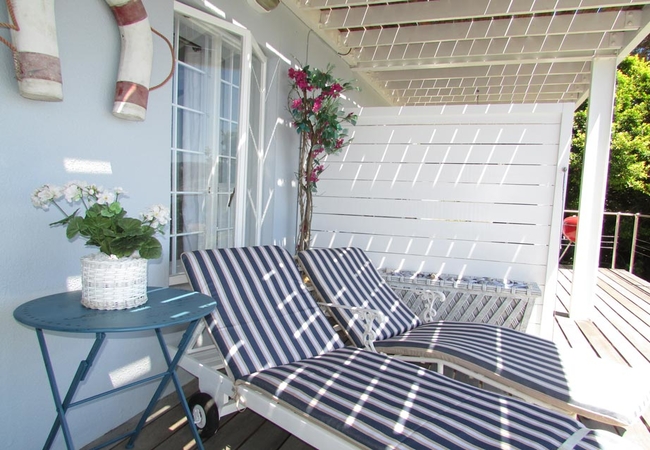
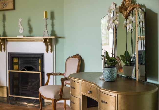
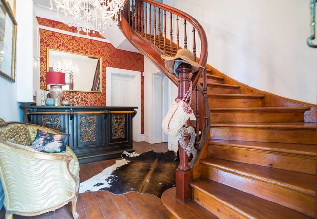
Misty Cliffs Self Catering
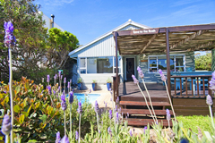
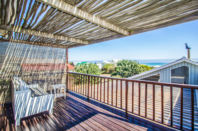
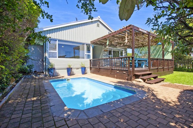
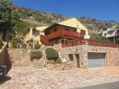
Coastal HavenSleeps 8 people in 1 unit
Coastal Haven Beach House in Misty Cliffs is on the seafront with a white sandy beach on your doorstep. It is a ...
- all ages welcome
- power stays on
- parking
- swimming pool
- tonight from
- R
- 4500
- unit rate per night
for up to 8 people
Also see 15 nearby establishments
4.6 km away in Simons Town Self Catering
Bay Views Simons TownSleeps 4 people in 1 unit
Bay Views Simons Town provides accommodation for four guests in the stunning seaside village of Simon's Town. This is a ...
- free wifi
- all ages welcome
- parking
- from 2168
- R
- 1626
- Conditions apply
Sleeps 6 people in 1 unit
The deck of Simon's Town Penthouse boasts incredible views of both the town and the sea. This fabulous apartment has ...
- free wifi
- all ages welcome
- from 3850
- R
- 1925
- Conditions apply
instant booking possible

5 km away in Simons Town Guest House / Self Catering
Albatross HouseSleeps 13 people in 4 units
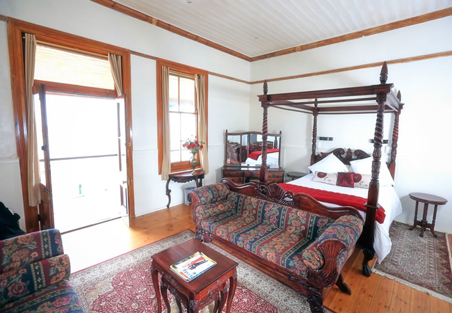
Albatross House is situated in beautiful, quiet Simon's Kloof, directly above the quaint historic maritime village of ...
- free wifi
- parking
- from 1680
- R
- 1596
- per room per night
based on 2 persons
instant booking possible
Sleeps 8 people in 1 unit
Offering amazing views of False Bay and the Simons Town Naval Base, Dolphin Cottage offers accommodation for eight ...
- all ages welcome
- tonight from
- R
- 2900
- unit rate per night
for up to 8 people
Sleeps 12 people in 6 rooms
With stunning views of the harbor and stroll to the village, A Boat House is run by the owners, Therese and Ludwig, who ...
- free wifi
- parking
- swimming pool
- airport transfers
- from 2750
- R
- 2613
- per room per night
based on 2 persons
instant booking possible

5.3 km away in Simons Town Self Catering
Villa CosteSleeps 4 people in 1 unit
Perched on the mountainside above Simons Town in Cape Town, Villa Coste offers an elegant two-bedroom garden and pool ...
- free wifi
- all ages welcome
- parking
- swimming pool
- from 8500
- R
- 8075
- unit rate per night
for up to 4 people
instant booking possible
Sleeps 21 people in 9 rooms
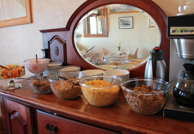
Offering bed and breakfast accommodation, the Central Hotel Guest House dates back to 1828 and forms part of Simons ...
- free wifi
- all ages welcome
- parking
- airport transfers
- tonight from
- R
- 1331
- per room per night
based on 2 persons
Sleeps 56 people in 29 rooms
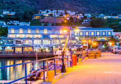
aha Simon's Town Quayside Hotel is set on the water's edge of Simon's Town Yacht Basin with breathtaking views over ...
- free wifi
- all ages welcome
- aircon
- from 1680
- R
- 1596
- per room per night
based on 2 persons
instant booking possible
Sleeps 20 people in 10 rooms
The property currently comprises of a fully licensed and elegant bar and restaurant area with a private events room ...
- free wifi
- aircon
- tonight from
- R
- 2010
- per room per night
based on 2 persons
5.8 km away in Glencairn Self Catering
The Mountain GemSleeps 5 people in 1 unit
The Mountain Gem is a self catering apartment located in Glencairn on the owners property. The area is incredibly ...
- free wifi
- all ages welcome
- hot tub
- parking
- swimming pool
- aircon
- tonight from
- R
- 2500
- unit rate per night
for up to 5 people
5.8 km away in Glencairn Self Catering
The Boho CaveSleeps 2 people in 1 unit
The Boho Cave is a self catering apartment located in Glencairn on the owners property. The area is incredibly peaceful ...
- free wifi
- parking
- swimming pool
- tonight from
- R
- 1865
- unit rate per night
for up to 2 people
Sleeps 18 people in 6 rooms
The Grosvenor Guest House offers a relaxed and beautiful environment to the discerning traveller. A choice of ...
- free wifi
- parking
- swimming pool
- airport transfers
- from 2030
- R
- 1929
- per room per night
based on 2 persons
instant booking possible
Sleeps 20 people in 10 rooms
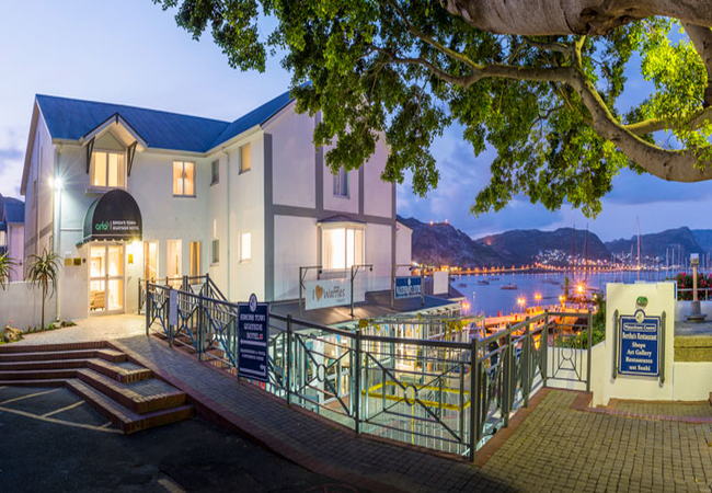
Mariner Guesthouse is an eco-friendly facility in Simon's Town. This historical harbour town is 45km from Cape Town and ...
- free wifi
- pet friendly
- all ages welcome
- parking
- aircon
- airport transfers
- from 2390
- R
- 2271
- per room per night
based on 2 persons
instant booking possible
Sleeps 10 people in 5 rooms
The House of Grace offers charming accommodation in Simons Town. Choose between luxury rooms on a bed and breakfast ...
- free wifi
- parking
- tonight from
- R
- 3000
- per room per night
based on 2 persons
YOU ARE CURRENTLY BROWSING » South Africa » South Africa Accommodation » Western Cape Accommodation » Cape Town Accommodation » Atlantic Seaboard Accommodation » Scarborough Accommodation
Why book with SA-Venues.com
- Your card is safe with us; strictest card verification in the industry and we don't store card numbers.
- No airy fairy service fees; you save!
- We care. Service with integrity.
- Multiple payment methods:
credit card, SID instant EFT, bank transfer. - All Scarborough property owners / managers are verified (our experience protects you from online fraud).
- Secure your booking
Destination Scarborough
- By type in Scarborough
- Scarborough Accommodation
- Scarborough Self Catering
- & Holiday Homes & Villas
- Destinations near Scarborough
- Bakoven, Bantry Bay, Camps Bay, Cape Point, Chapmans Peak, Clifton, Fresnaye, Granger Bay, Green Point, Hout Bay, Kommetjie, Llandudno, Misty Cliffs, Mouille Point, Noordhoek, Oudekraal, Sea Point, Three Anchor Bay, V&A Waterfront
- Resources for tourists
- About Scarborough
- Things To Do
- Attractions
- Reviews
Find and Book Your Perfect Scarborough Accommodations
- We feature a range of places to stay to suit all travel needs and budgets. The Scarborough accommodation search facility is easy to use and you can make your accommodation booking online or request a quote from your chosen venues. Scarborough accommodation establishments include self-catering, B&Bs, guest houses and hotels.
Frequently requested facilities are highlighted for each accommodation establishment when available to help you pinpoint appropriate venues, and reviews give you further insight.