Showing 1 to 20 of 30 - Accommodation in Ladismith

Ladismith Self Catering
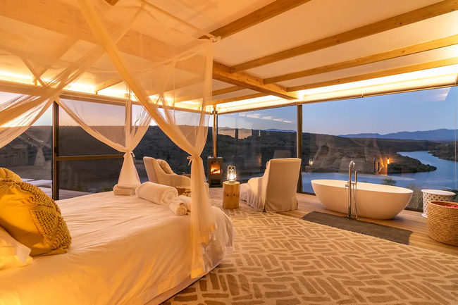
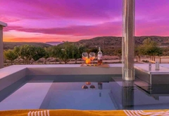
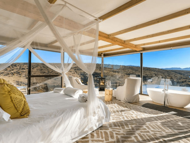
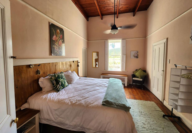
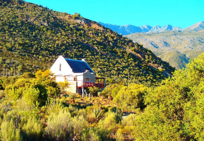
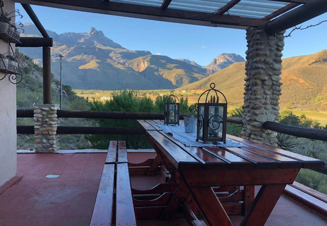
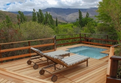
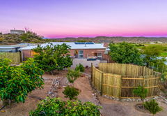
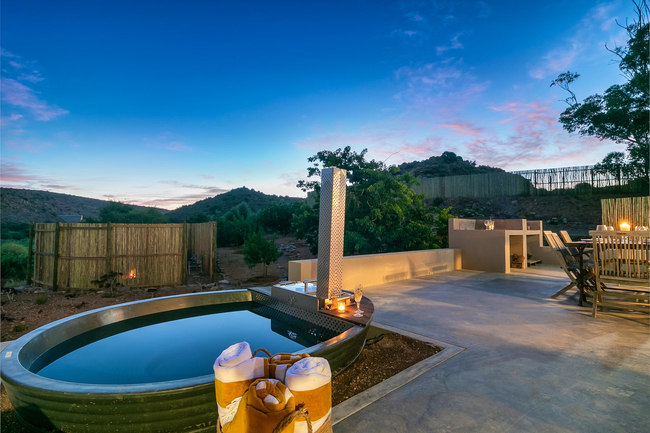
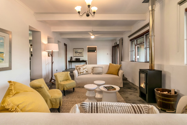
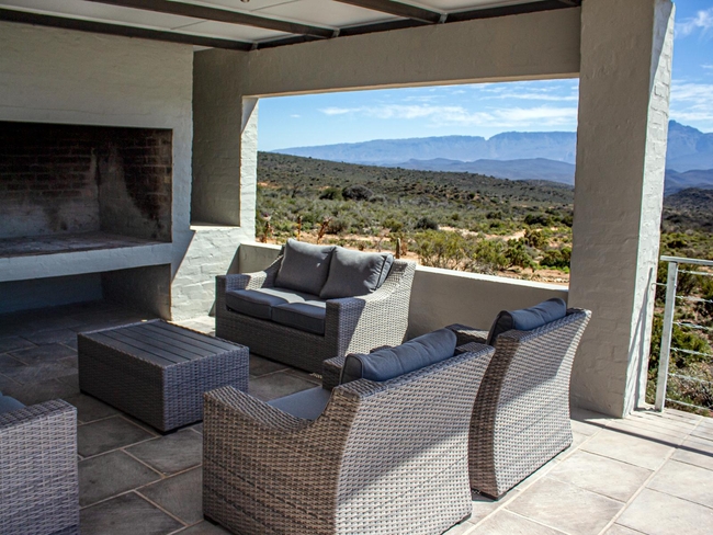
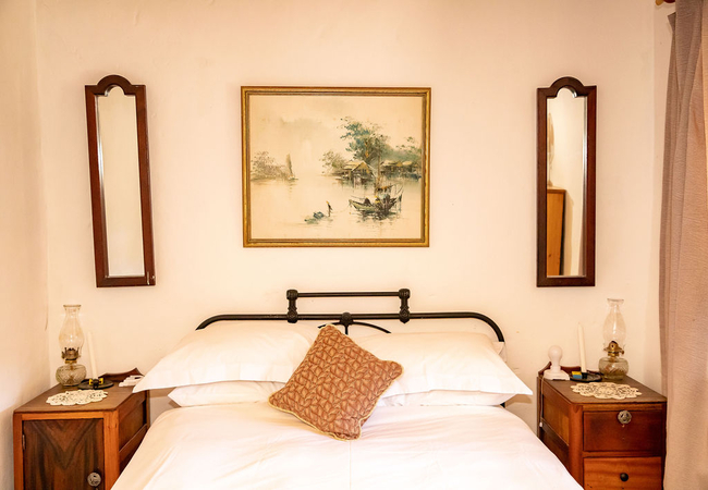
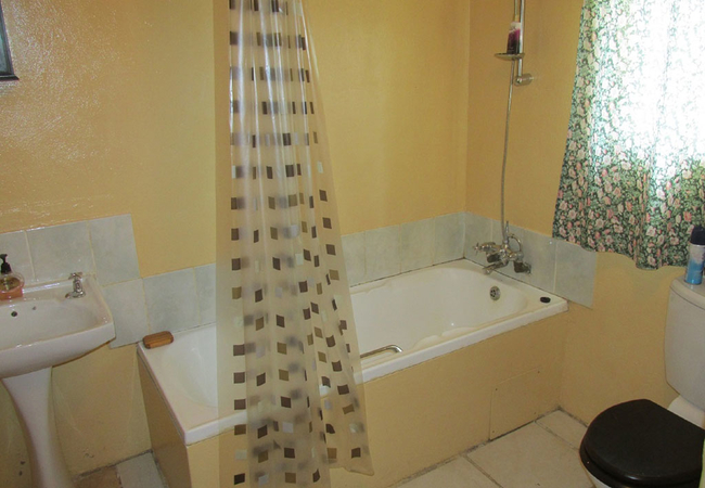
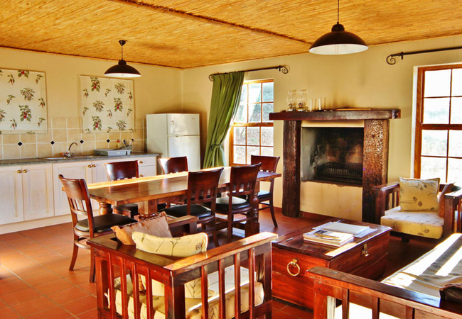
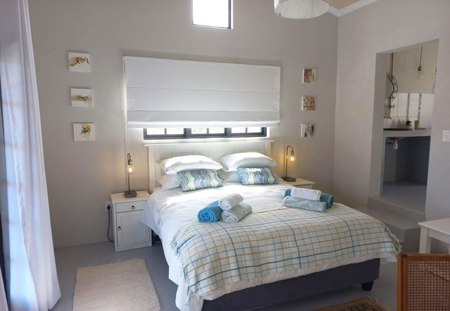
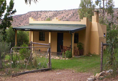
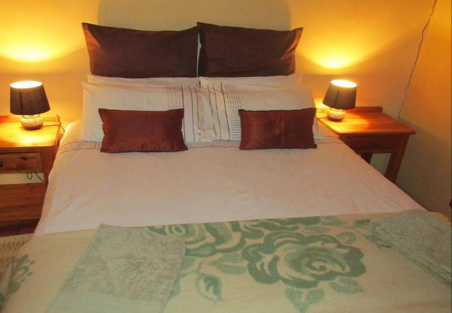
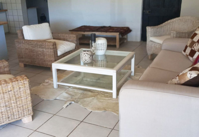
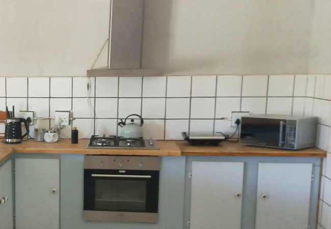
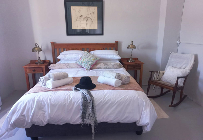
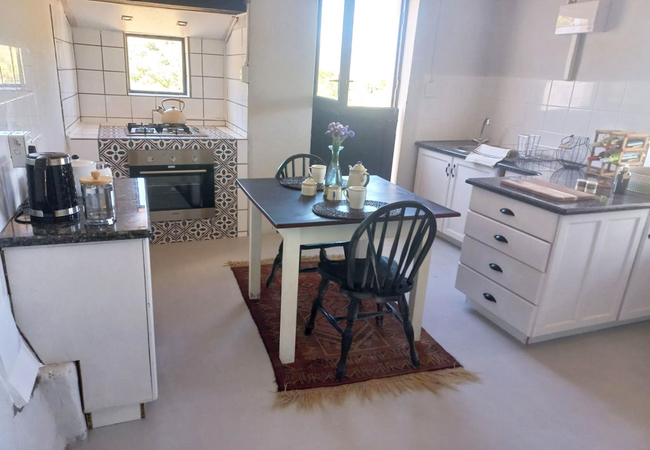
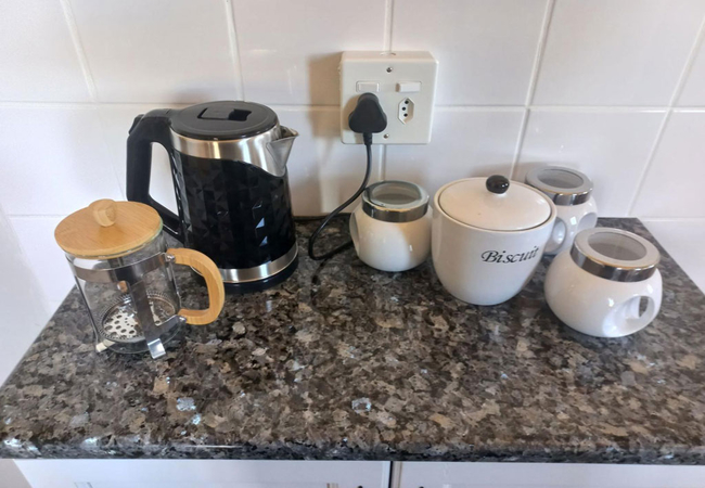
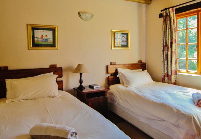
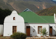
Berghuisie at AardvarkSleeps 2 people in 1 unit
Immerse yourself in the serene ambiance of Berghuisie, where every corner unveils a breathtaking panorama, whether ...
- free wifi
- all ages welcome
- hot tub
- power stays on
- parking
- swimming pool
- from 8000
- R
- 7600
- unit rate per night
for up to 2 people
instant booking possible
Ladismith Self Catering
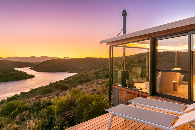
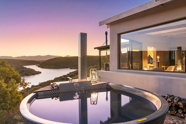
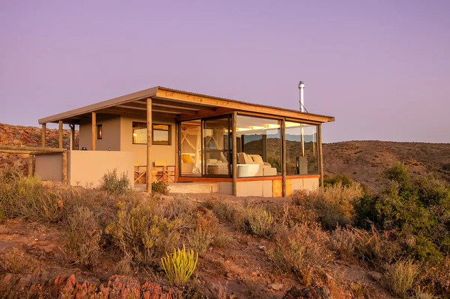
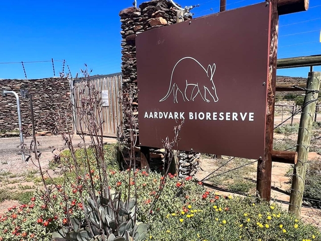
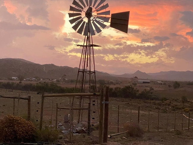
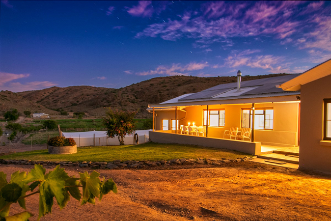
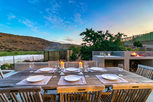
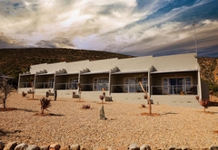
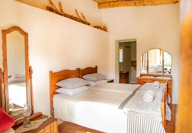
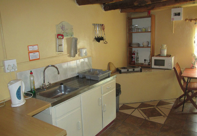
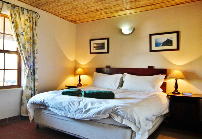
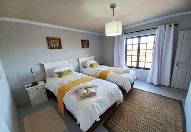
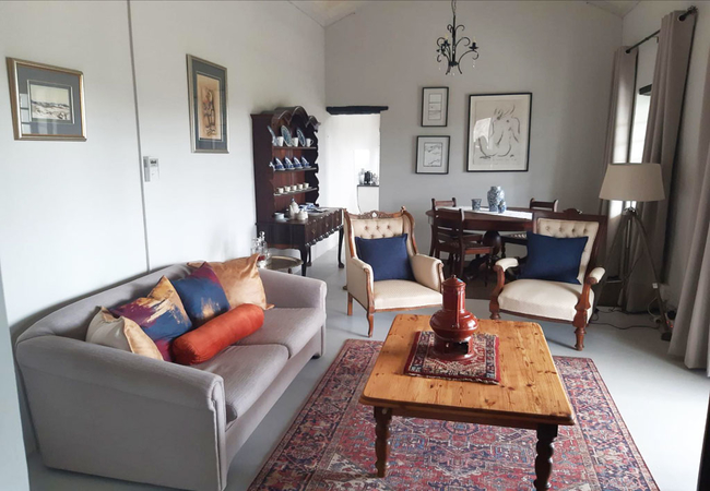
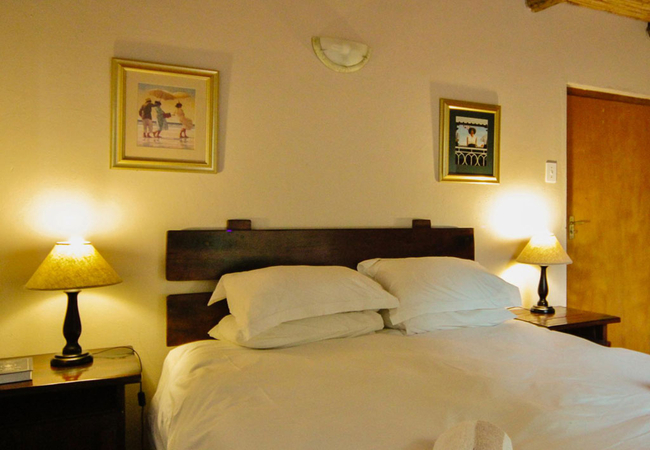
Aardvark BioreserveSleeps 20 people in 5 units
Trade the glow of city lights for the sprawl of the Milky Way, embracing a reconnection with the natural world. Select ...
- free wifi
- hot tub
- power stays on
- parking
- from 5000
- R
- 4750
- per room per night
based on 2 persons
instant booking possible

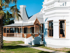
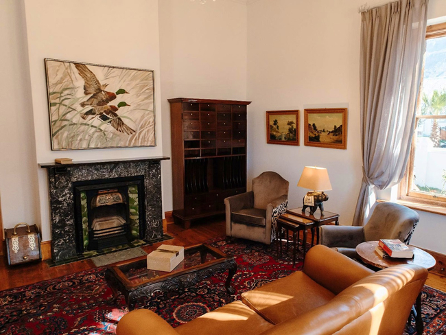
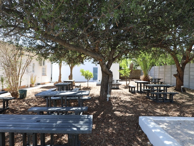
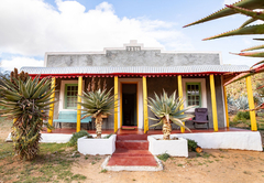
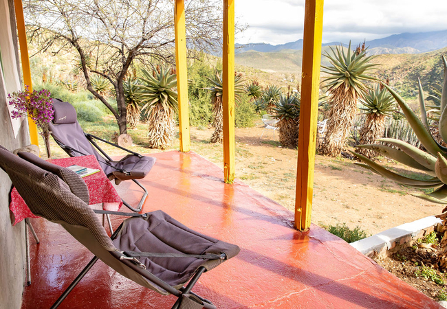
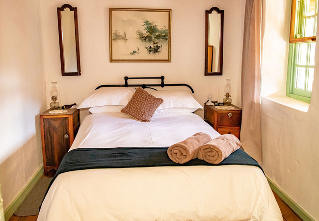
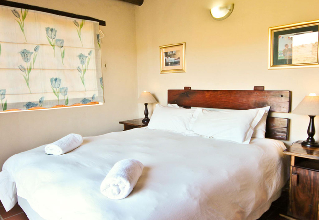
Ladismith Guest House
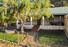
Magoos on 62Sleeps 15 people in 5 rooms
Nestled in the heart of the Little Karoo on Route R62, Magoos on 62 offers a serene retreat at Algerynskraal Farm. This ...
- free wifi
- pet friendly
- all ages welcome
- parking
- from 720
- R
- 684
- per room per night
based on 2 persons
instant booking possible
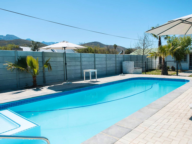
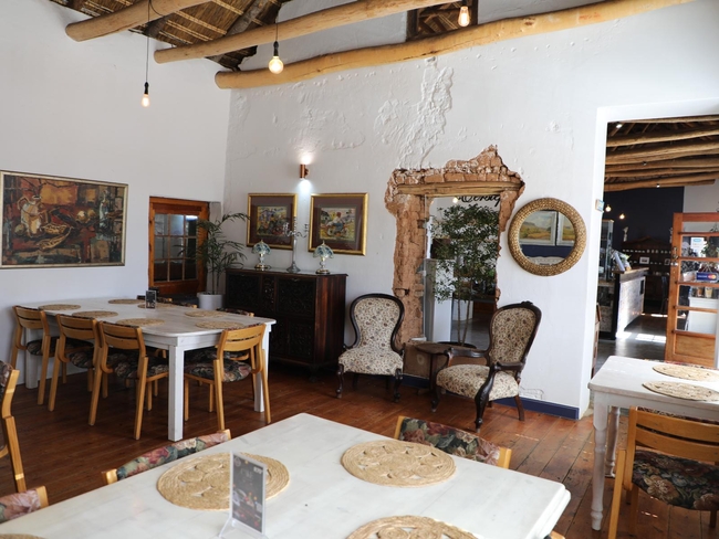
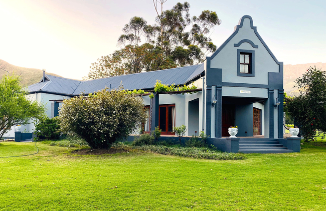
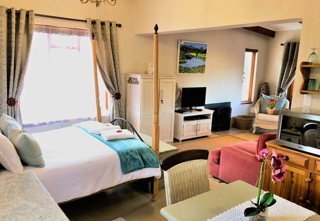
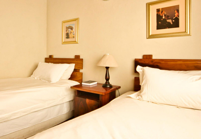
Ladismith Guest House / Self Catering
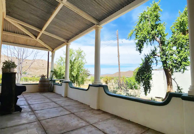
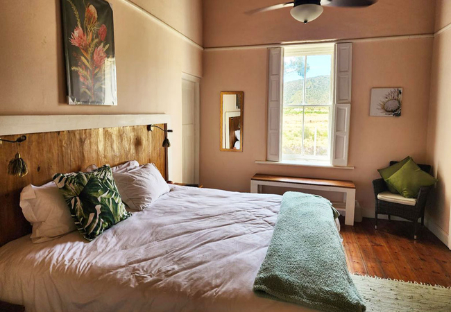
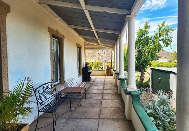
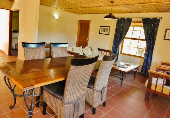
Volstruis PaleisSleeps 36 people in 11 rooms
Volstruis Paleis in Ladismith offers a delightful and restful retreat in the heart of the Klein Karoo. With both ...
- free wifi
- all ages welcome
- parking
- swimming pool
- from 1725
- R
- 1639
- per room per night
based on 2 persons
instant booking possible
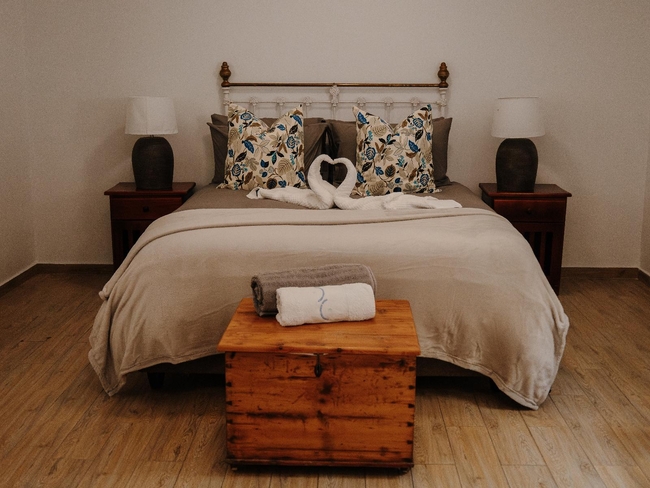
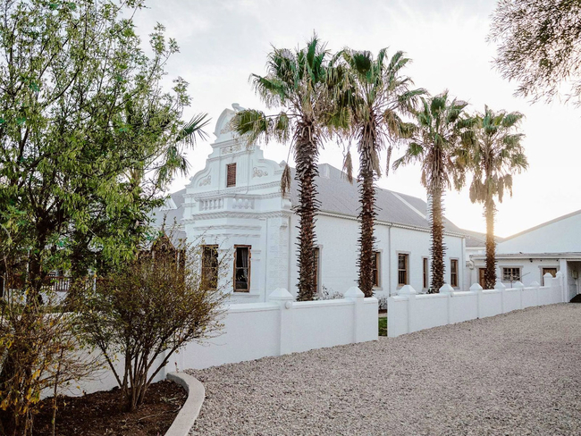
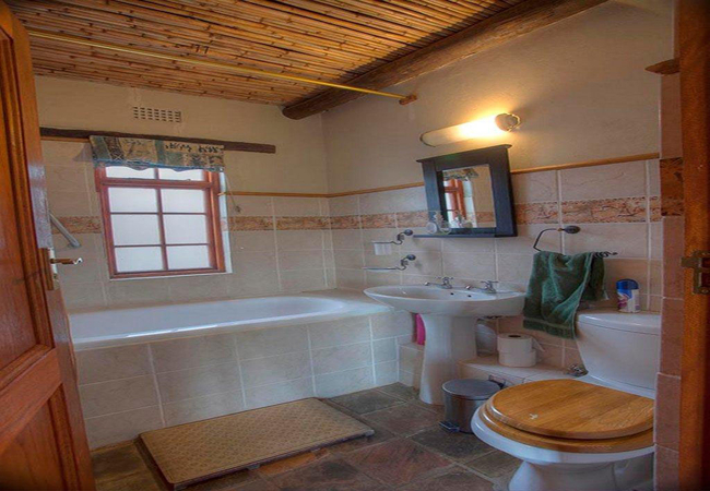
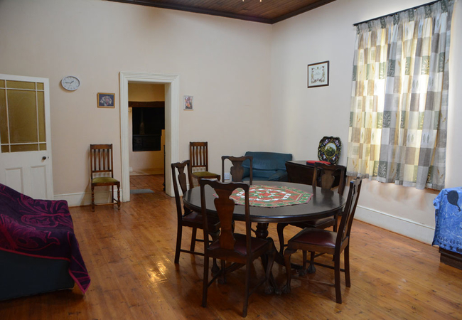
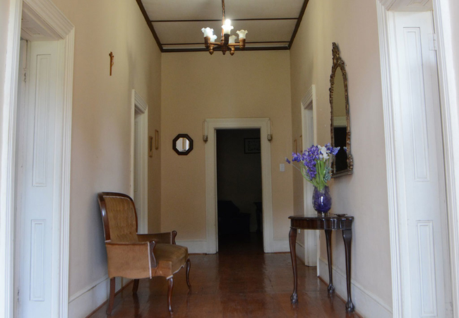
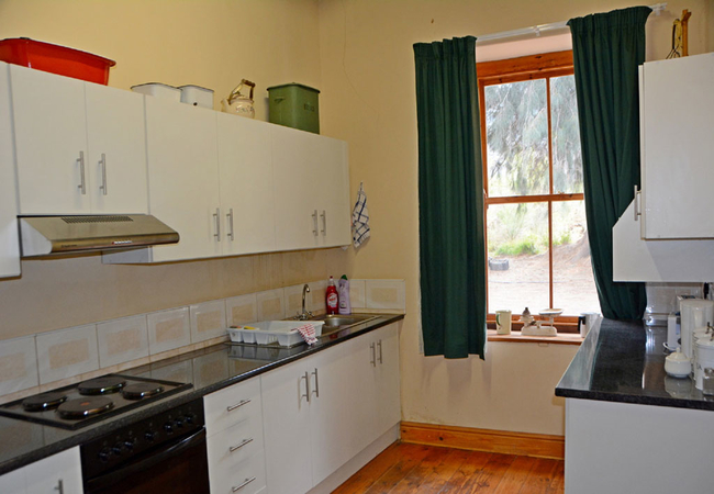
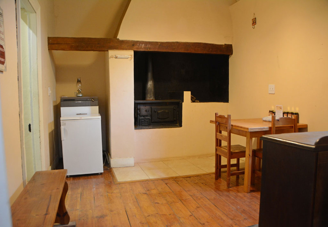
Ladismith Hotel / Self Catering
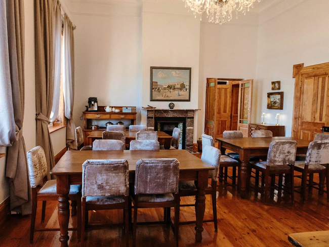
The Old PosthouseSleeps 15 people in 6 rooms
At the centre of Ladismith stands The Old Posthouse, a welcoming retreat that reflects the calm atmosphere and ...
- free wifi
- all ages welcome
- parking
- from 800
- R
- 760
- per room per night
based on 2 persons
instant booking possible
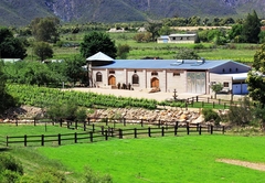
Ladismith Guest House / Self Catering
Sleeps 34 people in 14 units
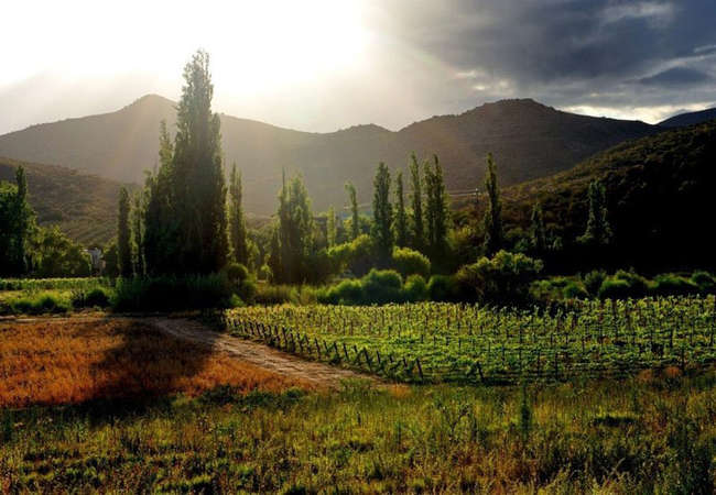
Oaksrest Vineyards Guest Farm is nestled in the fertile valley of Dwarsriver, 10 minutes drive from Ladismith at the ...
- free wifi
- all ages welcome
- swimming pool
- aircon
- airport transfers
- tonight from
- R
- 1500
- per room per night
based on 2 persons

Ladismith Guest House / Self Catering
MymeringSleeps 18 people in 8 units
Mymering is a guest house on a farm offering a choice of accommodation with spectacular views of the farm and the ...
- free wifi
- all ages welcome
- parking
- swimming pool
- aircon
- from 1495
- R
- 1421
- per room per night
based on 2 persons
instant booking possible
Ladismith Self Catering
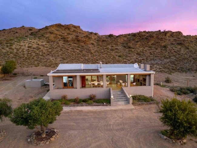
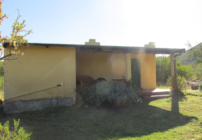
Die Opstal at AardvarkSleeps 8 people in 1 unit
Die Opstal, a spacious 4-bedroom farmhouse, nestles uniquely within the rustic charm of Aardvark Bioreserve's Western ...
- free wifi
- all ages welcome
- hot tub
- power stays on
- parking
- swimming pool
- aircon
- from 9600
- R
- 9120
- unit rate per night
for up to 8 people
instant booking possible
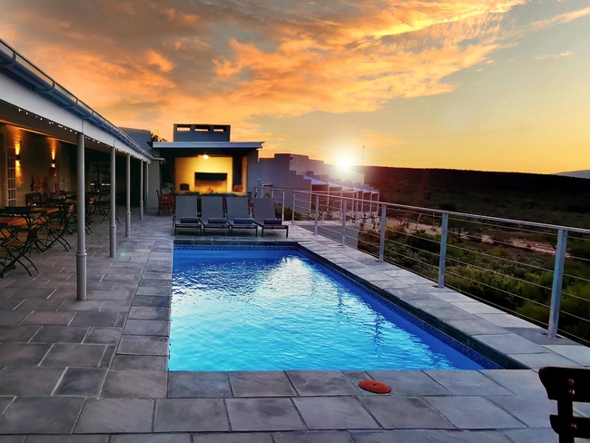

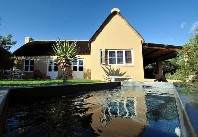
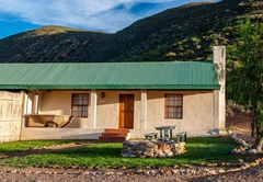
Ladismith Game Lodge
Rooiberg Wild Private Game ReserveSleeps 14 people in 7 rooms
Rooiberg Wild Private Game Reserve features seven luxurious rooms, each designed for restful nights accommodation and ...
- free wifi
- all ages welcome
- parking
- swimming pool
- from 2500
- R
- 2375
- per room per night
based on 2 persons
instant booking possible
Calitzdorp Self Catering
Matjiesvlei Guest FarmSleeps 28 people in 6 units
Come and enjoy the serene and tranquil beauty of this valley, situated at the foothills of the Swartberg Mountains ...
- free wifi
- pet friendly
- all ages welcome
- from 1000
- R
- 950
- per room per night
based on 2 persons
instant booking possible

Ladismith Self Catering
Grysbok CottageSleeps 4 people in 1 unit
Grysbok Cottage is located at Rietfontein Farm and provides accommodation in the hills between Barrydale and Ladismith ...
- all ages welcome
- hot tub
- parking
- swimming pool
- from 1300
- R
- 1235
- unit rate per night
for up to 4 people
instant booking possible
Ladismith Self Catering
Country Garden Lavender CottageSleeps 2 people in 1 unit
Country Garden Lavender Cottage is located on The Country Garden Guest Farm near Ladismith. From Ladismith town it is a ...
- free wifi
- all ages welcome
- parking
- from 1000
- R
- 950
- unit rate per night
for up to 2 people
instant booking possible

Ladismith Self Catering
Springbok CottageSleeps 4 people in 1 unit
Springbok Cottage is a two-bedroom holiday house at Rietfontein Guest Farm for self catering accommodation in the hills ...
- all ages welcome
- hot tub
- parking
- swimming pool
- from 1300
- R
- 1235
- unit rate per night
for up to 4 people
instant booking possible
Ladismith Self Catering
ElandhuisieSleeps 4 people in 1 unit
Get a glimpse of life on a working Klein Karoo farm and discover the beauty of this unique area with a visit to ...
- free wifi
- pet friendly
- all ages welcome
- parking
- swimming pool
- from 2000
- R
- 1900
- unit rate per night
for up to 4 people
instant booking possible
Ladismith Self Catering
Country Garden Blue GumSleeps 4 people in 1 unit
Country Garden Blue Gum Cottage offers Karoo self catering on The Country Garden Guest Farm near Ladismith. From ...
- free wifi
- all ages welcome
- parking
- from 1000
- R
- 950
- unit rate per night
for up to 4 people
instant booking possible
Ladismith Self Catering
Prinspoort PlaashuisSleeps 8 people in 1 unit
Nestled in the foothills of the Swartberg Mountain on an almond, pecan and sheep farm, Prinspoort Plaashuis offers ...
- free wifi
- pet friendly
- all ages welcome
- parking
- swimming pool
- from 3200
- R
- 3040
- unit rate per night
for up to 8 people
instant booking possible

Ladismith Self Catering
SpringbokhuisieSleeps 4 people in 1 unit
Get a glimpse of life on a working Klein Karoo farm and discover the beauty of this unique area with a visit to ...
- free wifi
- pet friendly
- all ages welcome
- parking
- swimming pool
- from 1900
- R
- 1805
- unit rate per night
for up to 4 people
instant booking possible

Ladismith Self Catering
Duiker CottageSleeps 4 people in 1 unit
Duiker Cottage is located at Rietfontein Guest Farm in Ladismith nestled in the hills between Barrydale and Ladismith ...
- all ages welcome
- hot tub
- parking
- swimming pool
- from 1300
- R
- 1235
- unit rate per night
for up to 4 people
instant booking possible
Ladismith Self Catering
Klipspringer CottageSleeps 4 people in 1 unit
Klipspringer Cottage is a comfortable holiday home in Ladismith with two bedrooms. The veranda has braai facilities and ...
- all ages welcome
- hot tub
- parking
- swimming pool
- from 1500
- R
- 1425
- unit rate per night
for up to 4 people
instant booking possible
Ladismith Self Catering
Country Garden Manor HouseSleeps 10 people in 1 unit
Country Garden Manor House offers Karoo self catering on The Country Garden Guest Farm near Ladismith. From Ladismith ...
- free wifi
- all ages welcome
- parking
- from 3900
- R
- 3705
- unit rate per night
for up to 10 people
instant booking possible
YOU ARE CURRENTLY BROWSING » South Africa » South Africa Accommodation » Western Cape Accommodation » Karoo Accommodation » Ladismith Accommodation
Why book with SA-Venues.com
- Your card is safe with us; strictest card verification in the industry and we don't store card numbers.
- No airy fairy service fees; you save!
- We care. Service with integrity.
- Multiple payment methods:
credit card, SID instant EFT, bank transfer. - All Ladismith property owners / managers are verified (our experience protects you from online fraud).
- Secure your booking
Destination Ladismith
- By type in Ladismith
- Ladismith Accommodation
- Ladismith Hotels
- Ladismith Guest Houses
- Ladismith Bed & Breakfast
- Ladismith Self Catering
- & Holiday Apartments & Suites
- & Holiday Cottages & Chalets
- & Holiday Homes & Villas
- Ladismith Conferences
- Ladismith Weddings
- Ladismith Honeymoons
- Destinations near Ladismith
- Barrydale, Beaufort West, Calitzdorp, De Doorns, De Rust, De Vlugt, Herold, Klaarstroom, Laingsburg, Matjiesfontein, Murraysburg, Oudtshoorn, Prince Albert, Sanbona, Touws River, Uniondale, Van Wyksdorp
- Resources for tourists
- About Ladismith
- Things To Do
- Attractions
- Reviews
Find and Book Your Perfect Ladismith Accommodations
- We feature a range of places to stay to suit all travel needs and budgets. The Ladismith accommodation search facility is easy to use and you can make your accommodation booking online or request a quote from your chosen venues. Ladismith accommodation establishments include self-catering, B&Bs, guest houses and hotels.
Frequently requested facilities are highlighted for each accommodation establishment when available to help you pinpoint appropriate venues, and reviews give you further insight.