Showing 1 to 20 of 75 - Accommodation in Camps Bay

Camps Bay Guest House
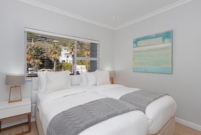
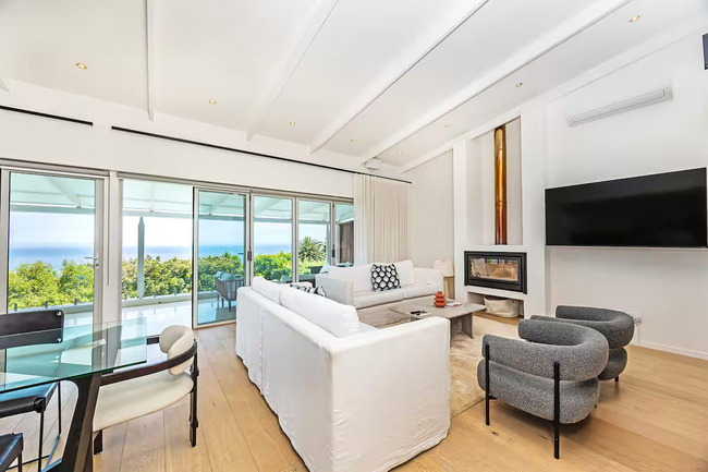
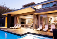
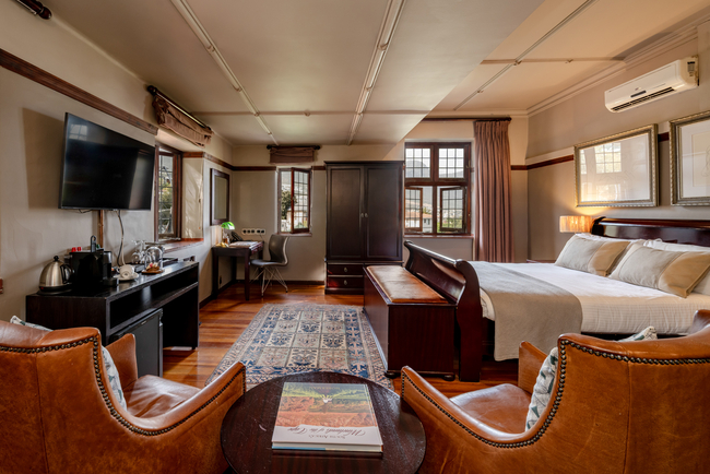
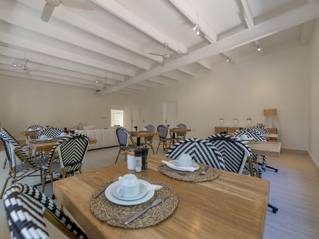
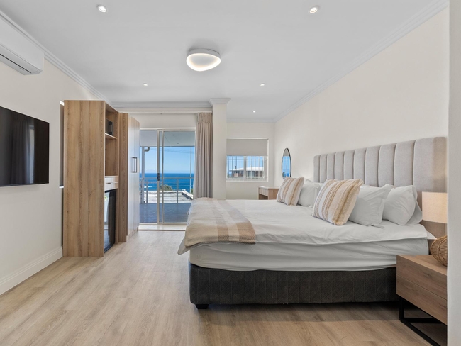
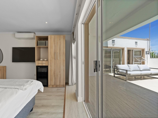
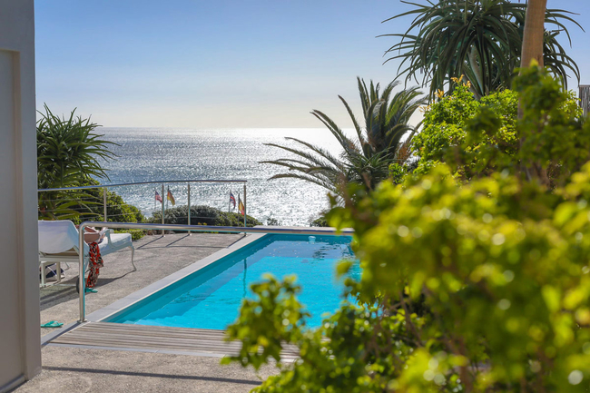
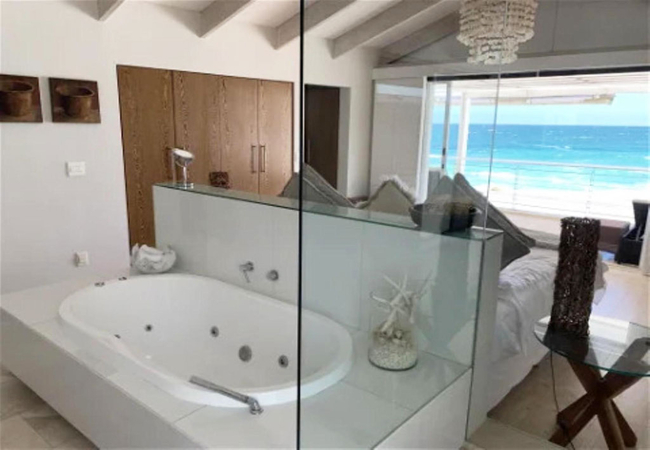
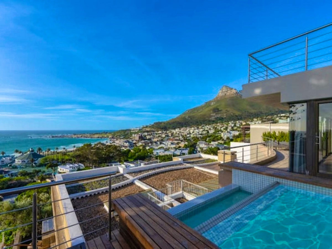
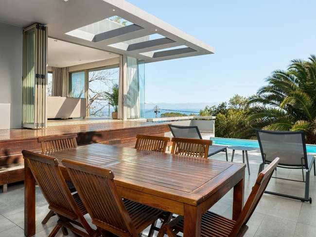
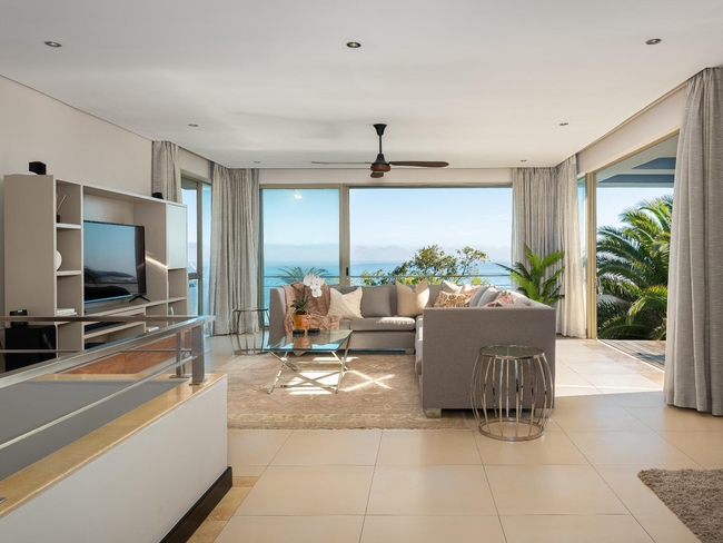
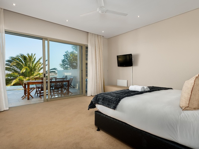
Atholl HouseSleeps 9 people in 4 rooms
Located in the prestigious suburb of Camps Bay, Cape Town, Atholl House B&B offers an unrivalled setting with panoramic ...
- free wifi
- power stays on
- parking
- swimming pool
- aircon
- airport transfers
- from 4250
- R
- 4038
- per room per night
based on 2 persons
instant booking possible
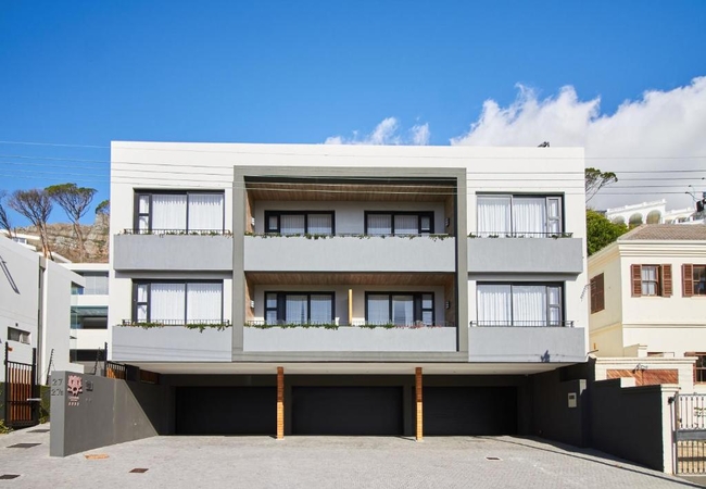
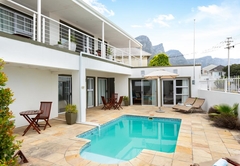
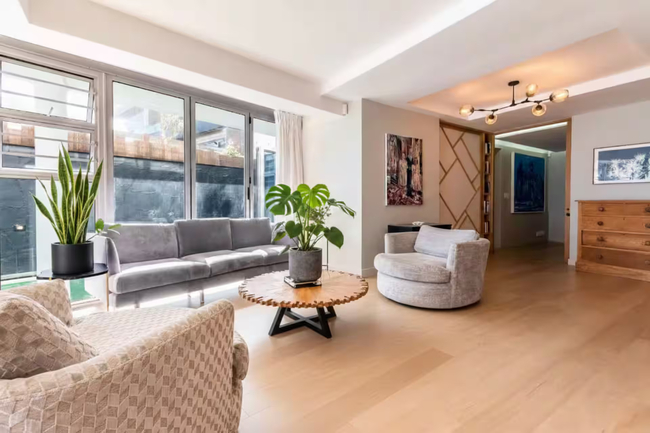
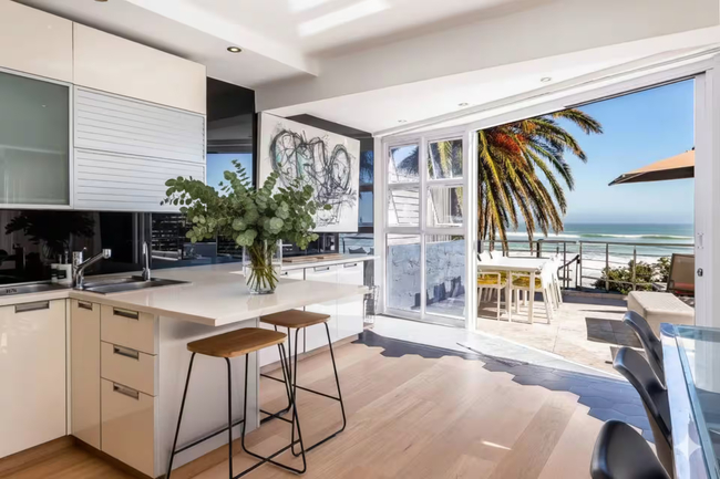
Camps Bay Self Catering
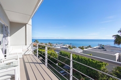
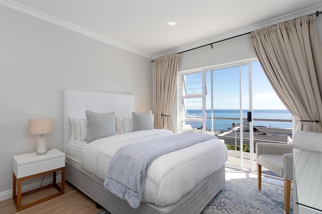
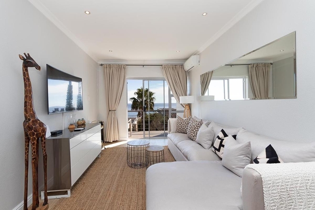
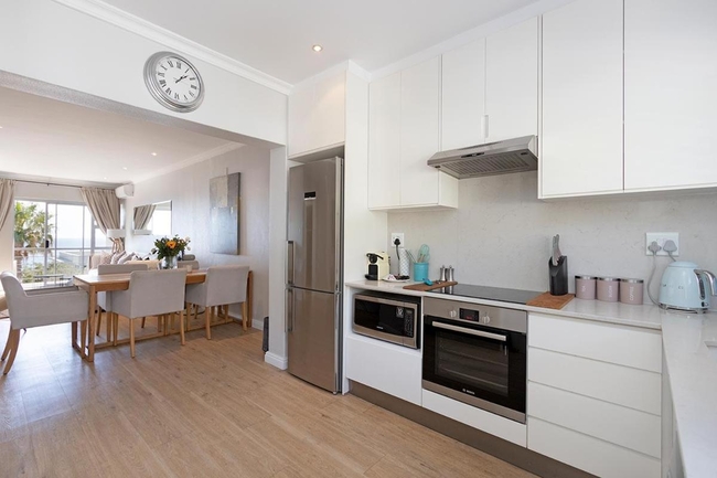
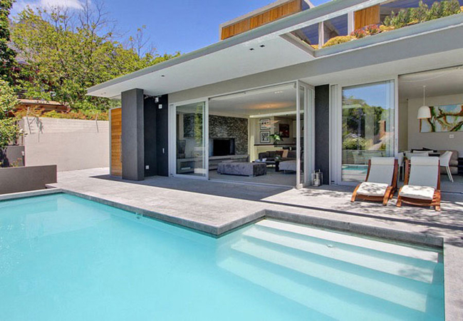
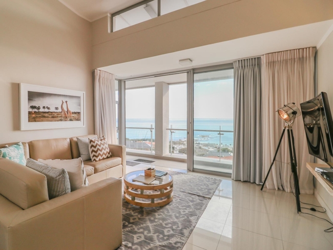
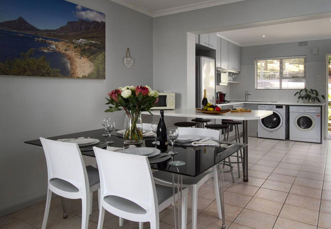
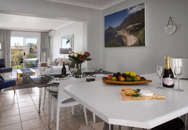
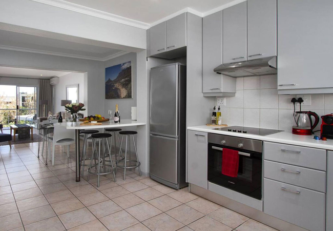
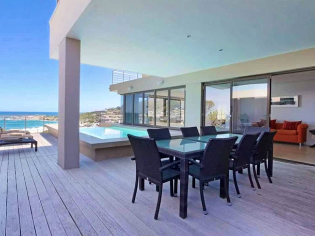
17 OceanaSleeps 4 people in 1 unit
Designed to host up to four guests, this elegant apartment features two comfortable en-suite bedrooms. 17 Oceana offers ...
- free wifi
- all ages welcome
- parking
- swimming pool
- aircon
- from 4600
- R
- 4370
- unit rate per night
for up to 4 people
instant booking possible

Camps Bay Self Catering
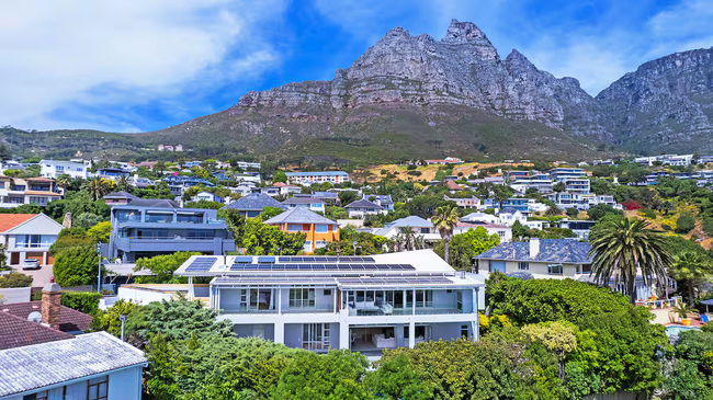
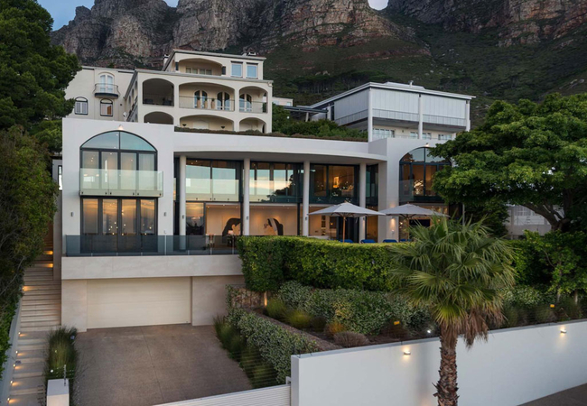
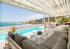
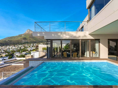
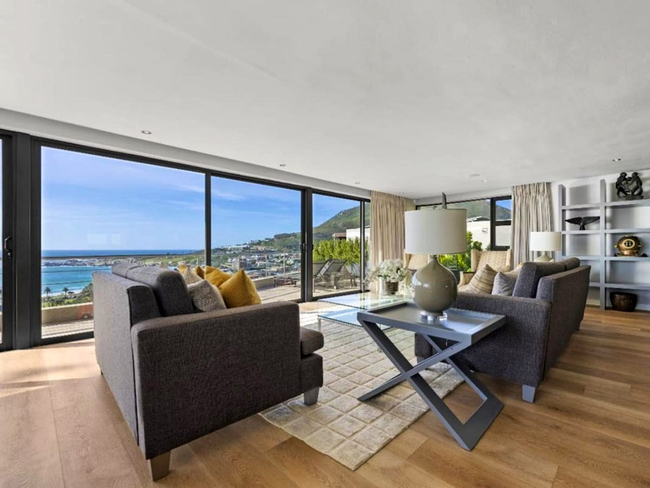
Shanklin VillaSleeps 14 people in 1 unit
Shanklin Villa is an exclusive six-bedroom luxury residence located in the heart of Camps Bay, offering an exceptional ...
- free wifi
- pet friendly
- all ages welcome
- power stays on
- parking
- swimming pool
- aircon
- from 15000
- R
- 14250
- unit rate per night
for up to 14 people
instant booking possible
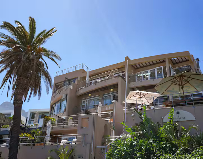
Camps Bay Hotel
The Twelve Apostles Hotel & SpaSleeps 132 people in 66 rooms
Luxurious guest rooms, deluxe suites and a presidential suite make up this stunning hotel with a breath-taking pool ...
- free wifi
- pet friendly
- all ages welcome
- swimming pool
- aircon
- airport transfers
- tonight from
- R
- 11455
- per room per night
based on 2 persons
Camps Bay Guest House
Central Beach VillasSleeps 16 people in 6 rooms
Central Beach Villas offers accommodation in Camps Bay and is near to numerous activities to do. Here there are ...
- free wifi
- all ages welcome
- parking
- swimming pool
- aircon
- airport transfers
- from 2700
- R
- 2565
- per room per night
based on 2 persons
instant booking possible
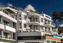
Camps Bay Hotel
South Beach HotelSleeps 45 people in 21 rooms
South Beach, a boutique hotel offering award winning Camps Bay accommodation. The hotel is situated less than 50m to ...
- free wifi
- power stays on
- parking
- swimming pool
- aircon
- airport transfers
- from 3550
- R
- 3373
- per room per night
based on 2 persons
instant booking possible
Camps Bay Self Catering
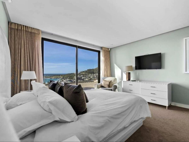
Blinkwater VillaSleeps 8 people in 1 unit
Blinkwater Villa offers luxury self catering accommodation in Camps Bay. The home sleeps eight guests in four en-suite ...
- free wifi
- all ages welcome
- parking
- swimming pool
- aircon
- airport transfers
- from 18800
- R
- 17860
- unit rate per night
for up to 8 people
instant booking possible

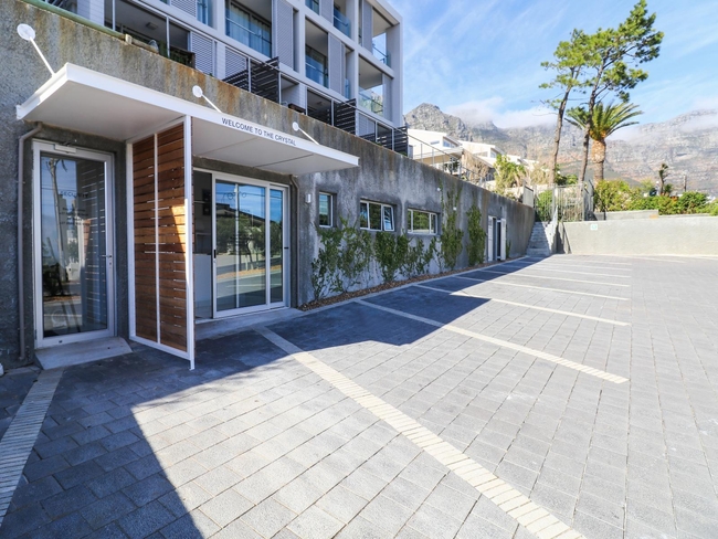
Camps Bay Self Catering
The Crystal ApartmentsSleeps 12 people in 4 units
The Crystal Apartments are situated between the Atlantic Ocean and Table Mountain and feature modern and luxurious ...
- free wifi
- all ages welcome
- power stays on
- aircon
- from 2393
- R
- 2274
- per room per night
based on 2 persons
instant booking possible
Bakoven Self Catering
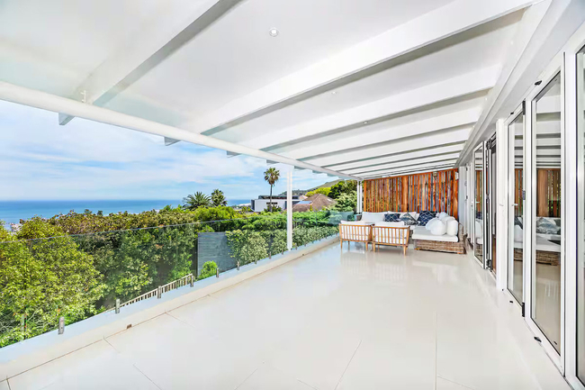
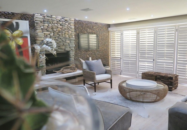
Villa Majestic BakovenSleeps 10 people in 5 units
Villa Majestic Bakoven is situated 750m above sea level, benefiting from panoramic views of the Atlantic ocean, and is ...
- free wifi
- power stays on
- parking
- swimming pool
- aircon
- from 20000
- R
- 19000
- per room per night
based on 2 persons
instant booking possible

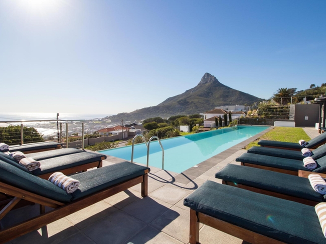
Camps Bay Hotel
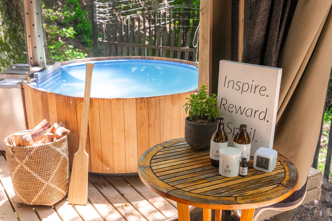
Camps Bay RetreatSleeps 29 people in 15 rooms
Camps Bay Retreat Luxury Boutique Hotel is set on four acres of lush green nature reserve. The hotel boasts views ...
- free wifi
- pet friendly
- all ages welcome
- hot tub
- power stays on
- swimming pool
- aircon
- airport transfers
- from 6220
- R
- 5909
- per room per night
based on 2 persons
instant booking possible
Camps Bay Bed & Breakfast
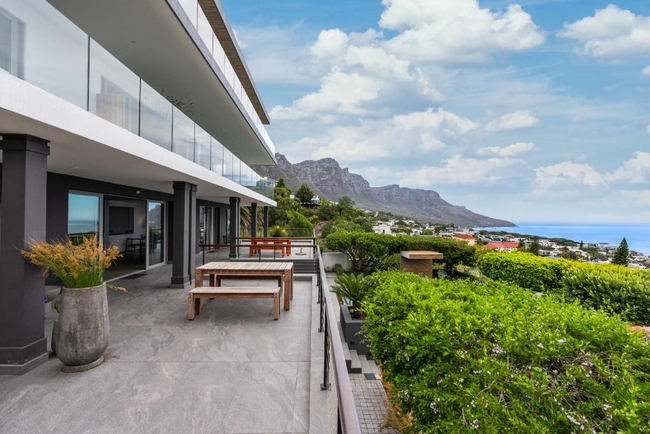
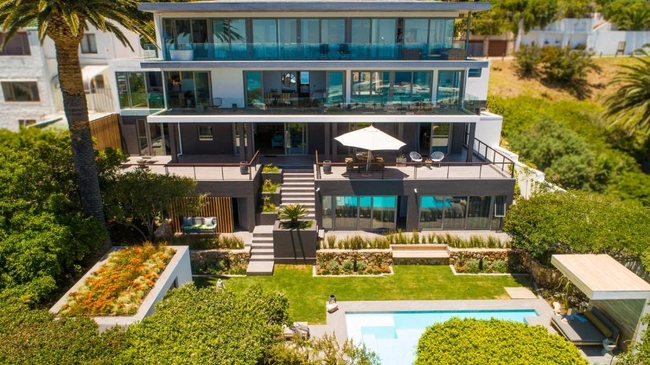
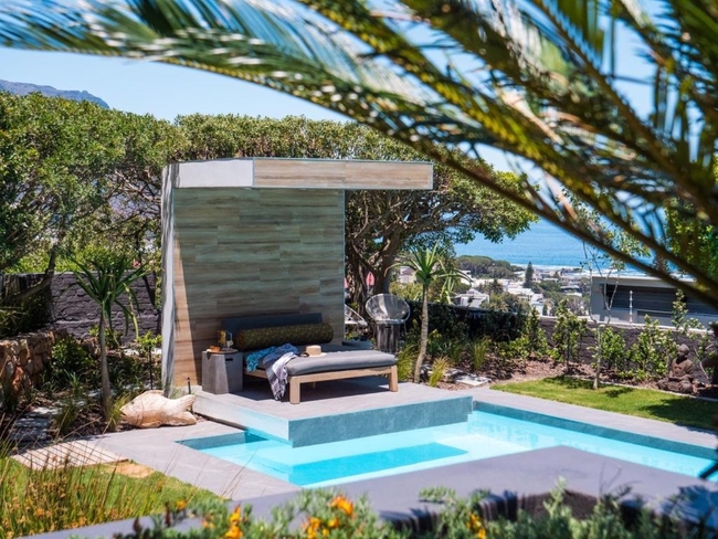
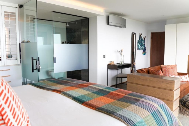
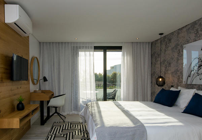
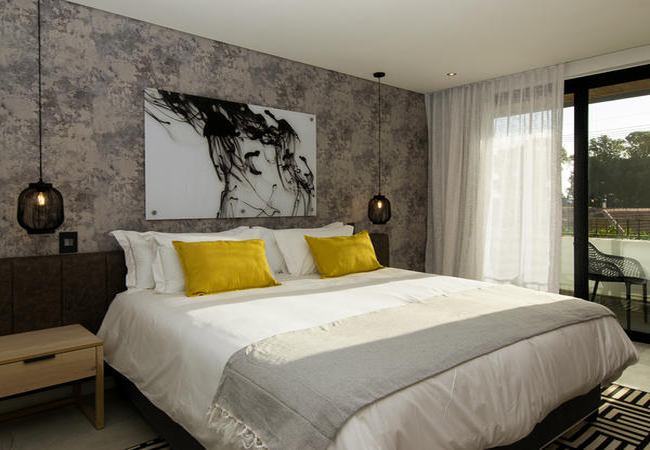
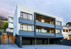
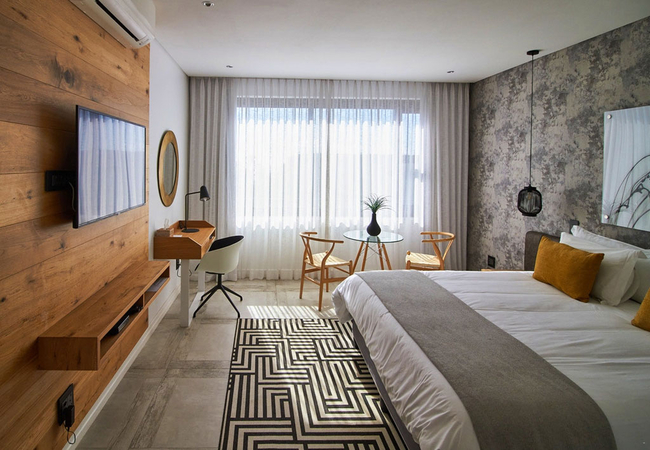
LXI Boutique RetreatSleeps 17 people in 7 rooms
Contemporary Japandi design meets sweeping Atlantic views. LXI is a tranquil boutique escape in the heart of Cape ...
- free wifi
- all ages welcome
- power stays on
- parking
- swimming pool
- airport transfers
- from 3000
- R
- 2850
- per room per night
based on 2 persons
instant booking possible

Camps Bay Self Catering
Camps Bay Village ApartmentsSleeps 97 people in 30 units
Camps Bay Village is set against the backdrop of the Twelve Apostles and is a stone's throw from the beaches of Camps ...
- free wifi
- pet friendly
- all ages welcome
- hot tub
- power stays on
- parking
- swimming pool
- aircon
- airport transfers
- from 1110
- R
- 1055
- per room per night
based on 2 persons
instant booking possible
Camps Bay Self Catering
Paloma ApartmentSleeps 4 people in 1 unit
Located in the renowned suburb of Camps Bay, Paloma Apartment offers an appealing blend of practicality and seaside ...
- free wifi
- all ages welcome
- parking
- swimming pool
- aircon
- from 6500
- R
- 6175
- unit rate per night
for up to 4 people
instant booking possible
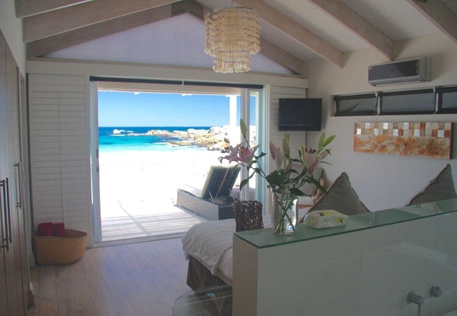
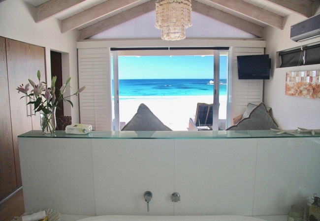
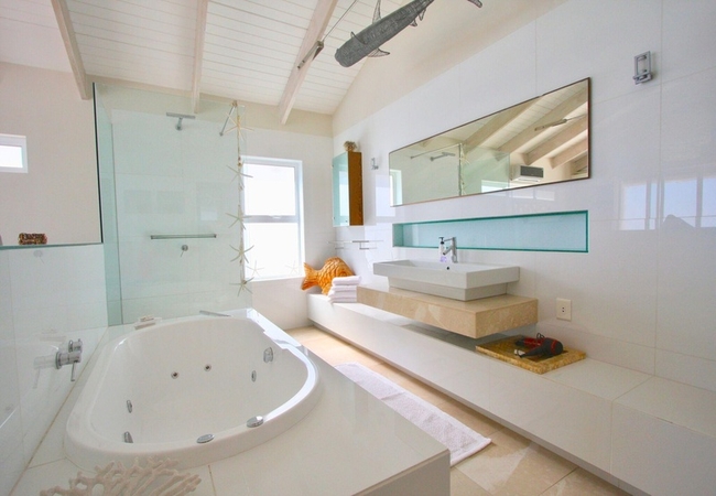
Camps Bay Guest House / Bed & Breakfast / Self Catering
Ocean View HouseSleeps 68 people in 28 rooms
Luxury guest house accommodation nestled between the Twelve Apostles mountain range and overlooking the beautiful ...
- free wifi
- all ages welcome
- parking
- swimming pool
- aircon
- airport transfers
- tonight from
- R
- 3185
- per room per night
based on 2 persons

Camps Bay Self Catering
Glen Beach PenthouseSleeps 4 people in 1 unit
Glen Beach Penthouse is a fabulous beach apartment, offering accommodation in Camps Bay directly on Glen Beach (the ...
- free wifi
- all ages welcome
- power stays on
- parking
- aircon
- from 6500
- R
- 6175
- unit rate per night
for up to 4 people
instant booking possible
Camps Bay Self Catering
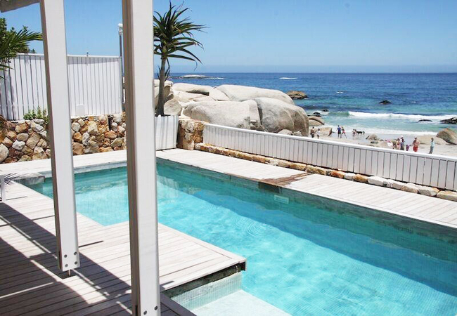
Glen Beach BungalowSleeps 8 people in 1 unit
Glen Beach Bungalow is a fabulous beach house, situated directly on Glen Beach in Camps Bay (the small enclave nestled ...
- free wifi
- all ages welcome
- power stays on
- parking
- aircon
- from 12000
- R
- 11400
- unit rate per night
for up to 8 people
instant booking possible
Camps Bay Self Catering
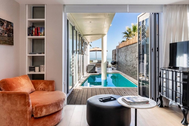
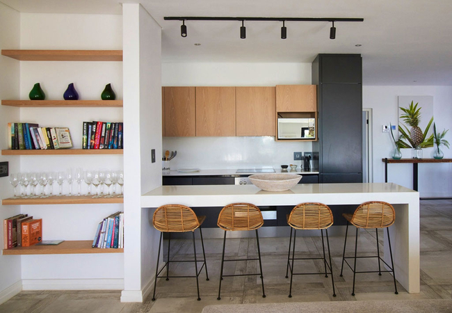
The Oceana 15Sleeps 5 people in 1 unit
The Oceana 15 is a self-catering apartment located on a quiet street within a private complex in Camps Bay. The Oceana ...
- free wifi
- parking
- swimming pool
- aircon
- tonight from
- R
- 899
- unit rate per night
for up to 5 people
instant booking possible
Camps Bay Self Catering
Azure Vistas VillaSleeps 8 people in 1 unit
Azure Vistas is an exclusive holiday home situated in the heart of Camps Bay. Designed to accommodate up to eight ...
- free wifi
- all ages welcome
- parking
- swimming pool
- aircon
- from 12000
- R
- 11400
- unit rate per night
for up to 8 people
instant booking possible

Camps Bay Self Catering
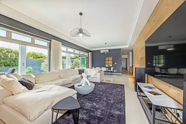
Casa InglesideSleeps 10 people in 1 unit
Discover a haven of luxury in this five-bedroom villa in Camps Bay, where breathtaking ocean views await. Enjoy the ...
- free wifi
- all ages welcome
- power stays on
- swimming pool
- from 7700
- R
- 7315
- unit rate per night
for up to 10 people
instant booking possible
Camps Bay Self Catering
Central Beach ApartmentSleeps 6 people in 1 unit
Central Beach Apartment offers comfortable Camps Bay accommodation in a great location. From here you can walk to the ...
- free wifi
- all ages welcome
- parking
- aircon
- from 10000
- R
- 9500
- unit rate per night
for up to 6 people
instant booking possible
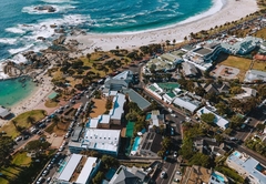
YOU ARE CURRENTLY BROWSING » South Africa » South Africa Accommodation » Western Cape Accommodation » Cape Town Accommodation » Atlantic Seaboard Accommodation » Camps Bay Accommodation
Why book with SA-Venues.com
- Your card is safe with us; strictest card verification in the industry and we don't store card numbers.
- No airy fairy service fees; you save!
- We care. Service with integrity.
- Multiple payment methods:
credit card, SID instant EFT, bank transfer. - All Camps Bay property owners / managers are verified (our experience protects you from online fraud).
- Secure your booking
Destination Camps Bay
- By type in Camps Bay
- Camps Bay Accommodation
- Camps Bay Hotels
- Camps Bay Guest Houses
- Camps Bay Bed & Breakfast
- Camps Bay Self Catering
- & Holiday Apartments & Suites
- & Holiday Cottages & Chalets
- & Holiday Homes & Villas
- Camps Bay Honeymoons
- Destinations near Camps Bay
- Bakoven, Bantry Bay, Cape Point, Chapmans Peak, Clifton, Fresnaye, Granger Bay, Green Point, Hout Bay, Kommetjie, Llandudno, Misty Cliffs, Mouille Point, Noordhoek, Oudekraal, Scarborough, Sea Point, Three Anchor Bay, V&A Waterfront
- Resources for tourists
- About Camps Bay
- Things To Do
- Attractions
- Reviews
Find and Book Your Perfect Camps Bay Accommodations
- We feature a range of places to stay to suit all travel needs and budgets. The Camps Bay accommodation search facility is easy to use and you can make your accommodation booking online or request a quote from your chosen venues. Camps Bay accommodation establishments include self-catering, B&Bs, guest houses and hotels.
Frequently requested facilities are highlighted for each accommodation establishment when available to help you pinpoint appropriate venues, and reviews give you further insight.