Showing 1 to 14 of 14 - Accommodation in La Lucia
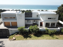

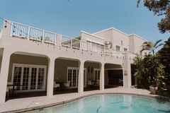
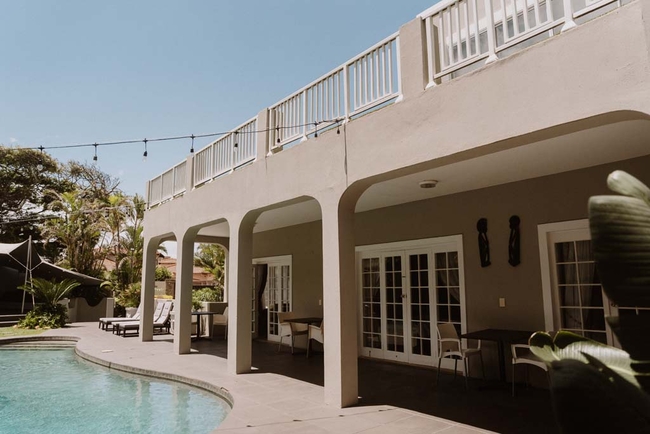
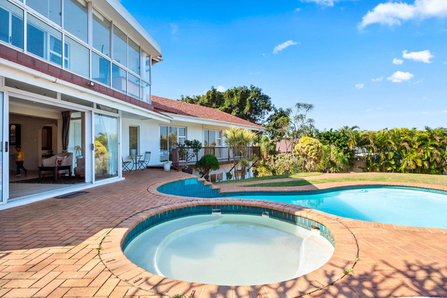
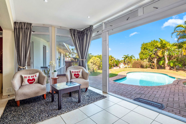
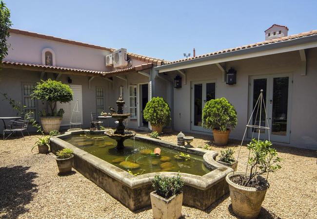
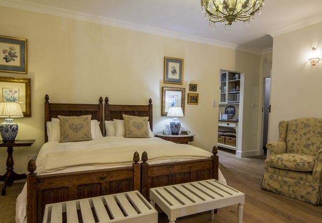
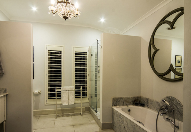
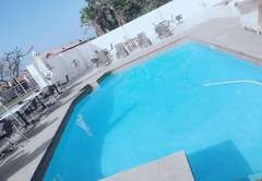
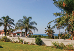
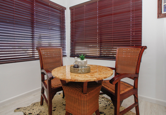
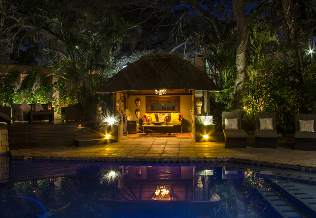
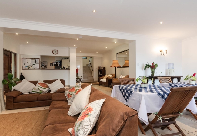
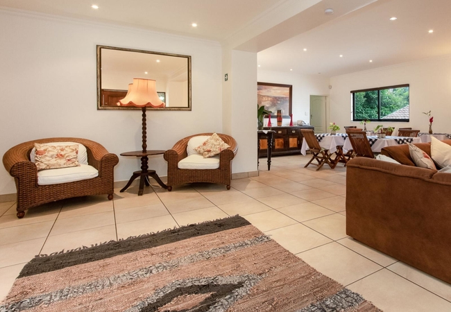
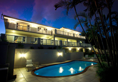
Umhlanga Rocks Guest House
Sleeps 14 people in 7 rooms
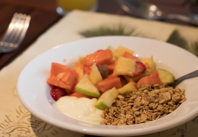
Contemporary yet warm, within minutes' drive from the hustle and bustle of both Umhlanga and La Lucia Ridge, we offer ...
- free wifi
- power stays on
- parking
- swimming pool
- aircon
- airport transfers
- from 2495
- R
- 2371
- per room per night
based on 2 persons
instant booking possible
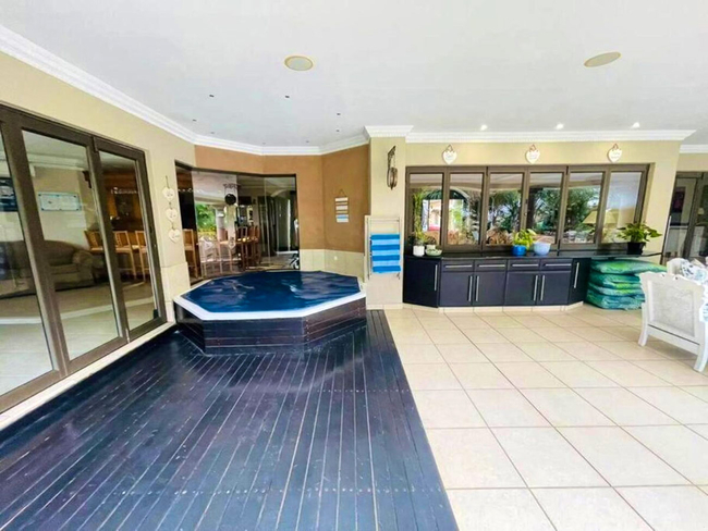
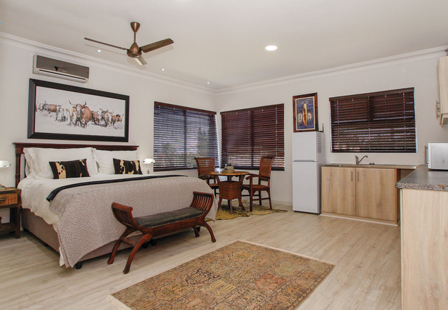
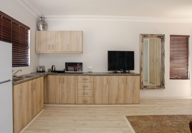
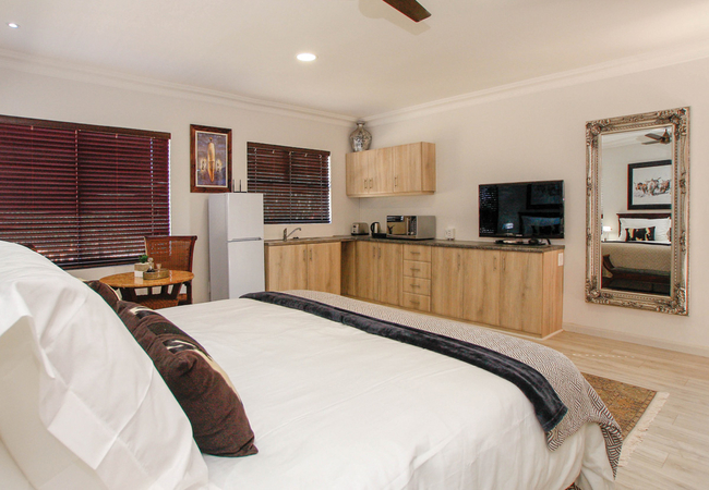
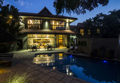
La Lucia Self Catering
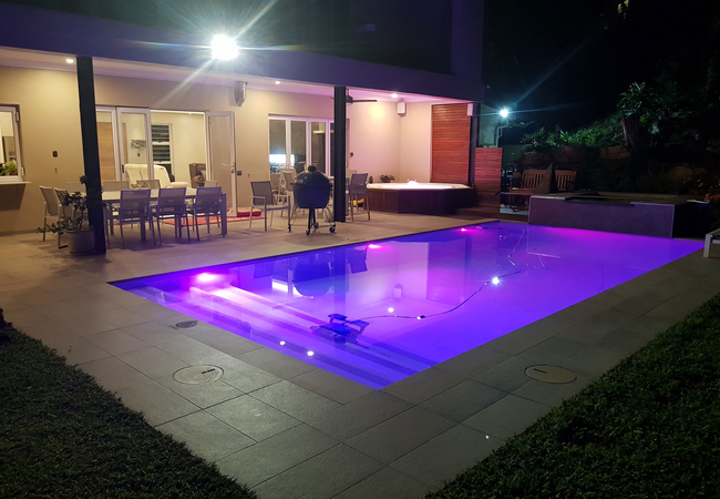
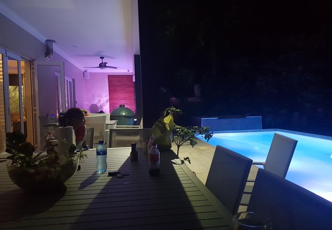
Palms On ByrneSleeps 10 people in 1 unit
Palms on Byrne offers an exclusive self-catering holiday home in Durban, designed for discerning guests seeking ...
- free wifi
- pet friendly
- all ages welcome
- hot tub
- parking
- swimming pool
- aircon
- from 9800
- R
- 9310
- unit rate per night
for up to 10 people
instant booking possible
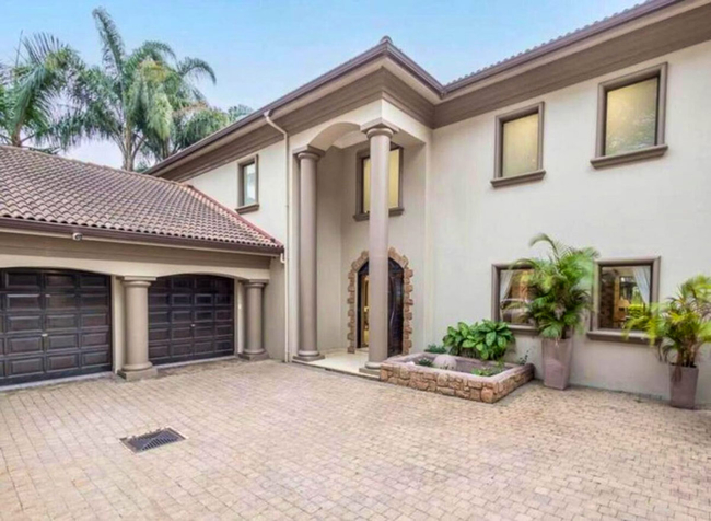
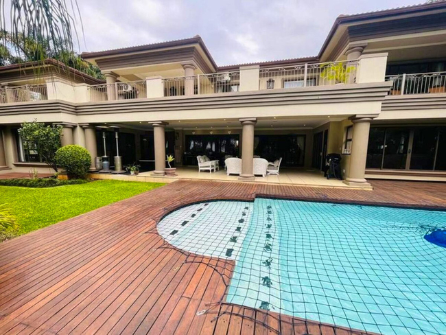
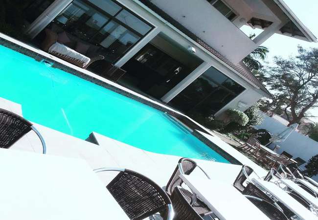
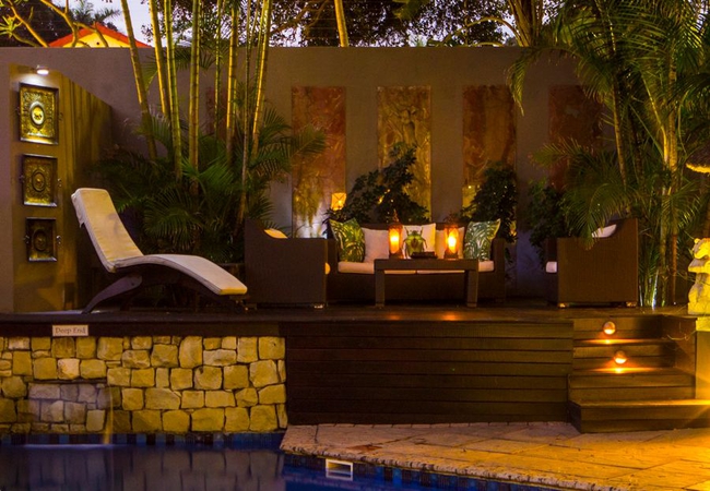
La Lucia Guest House
Sleeps 24 people in 7 rooms
Caza Beach is a luxurious Guest House situated in La Lucia with an indigenous garden and a beautiful sparkling pool for ...
- free wifi
- all ages welcome
- parking
- swimming pool
- aircon
- airport transfers
- from 2530
- R
- 2404
- per room per night
based on 2 persons
instant booking possible
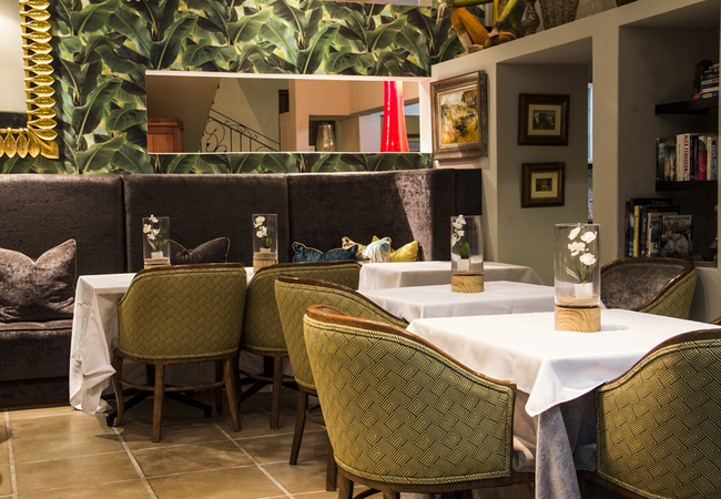
La Lucia Hotel / Self Catering
Sleeps 30 people in 10 rooms
Set on an acre of beautiful gardens in La Lucia and conveniently close to all attractions, Beside Still Waters Boutique ...
- free wifi
- all ages welcome
- swimming pool
- aircon
- from 1120
- R
- 1064
- per room per night
based on 2 persons
instant booking possible

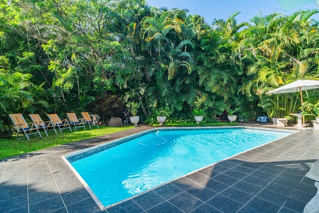
Glenashley Guest House
Bentley on the BeachSleeps 18 people in 8 rooms
Bentley on the Beach is homely and warm, and personifies the feeling you get when you're in your own private piece of ...
- free wifi
- all ages welcome
- parking
- swimming pool
- aircon
- from 2380
- R
- 2261
- per room per night
based on 2 persons
instant booking possible

La Lucia Self Catering
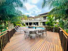
Gainsford Place 26Sleeps 10 people in 1 unit
Gainsford Place 26 in La Lucia, KwaZulu-Natal, provides a refined escape in one of South Africa's most desirable areas ...
- free wifi
- all ages welcome
- parking
- swimming pool
- aircon
- tonight from
- R
- 5300
- unit rate per night
for up to 10 people
La Lucia Guest House
Maison H Guest HouseSleeps 10 people in 5 rooms
Maison - H Guest House offers bed & breakfast accommodation in a relaxing environment in La Lucia, Durban. This ...
- free wifi
- all ages welcome
- power stays on
- parking
- swimming pool
- aircon
- from 2500
- R
- 2375
- per room per night
based on 2 persons
instant booking possible

La Lucia Guest House
Tariman InnSleeps 44 people in 16 rooms
Tariman Inn is a great location for a long deserved break at the coast, coming down for a business meeting or getting ...
- free wifi
- all ages welcome
- parking
- swimming pool
- aircon
- airport transfers
- tonight from
- R
- 2000
- per room per night
based on 2 persons
instant booking possible
La Lucia Self Catering
14 On BraemarSleeps 2 people in 1 unit
14 On Braemar offers accommodation in a large studio apartment in the heart of La Lucia. The apartment is just 5km from ...
- free wifi
- parking
- aircon
- from 1120
- R
- 1064
- unit rate per night
for up to 2 people
instant booking possible
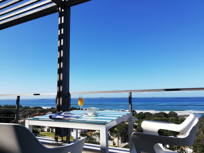
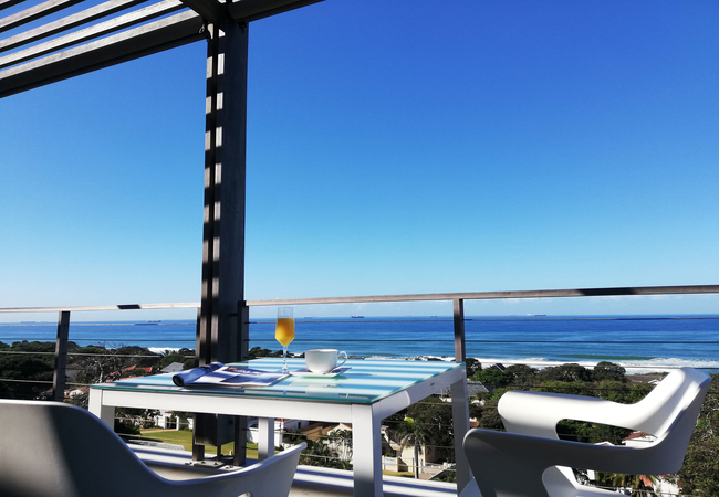
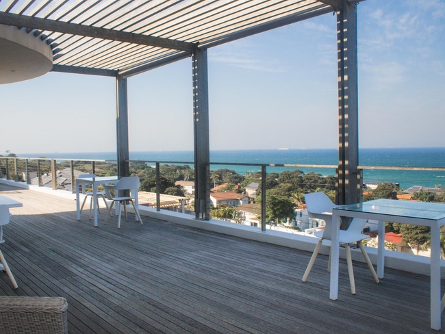
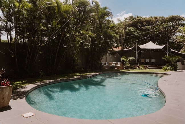
La Lucia Bed & Breakfast
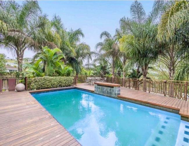
Cowrie Cove Guest HouseSleeps 24 people in 12 rooms
Cowrie Cove Guest House is nestled amongst the natural Milkwood Forests of La Lucia on the beautiful coastline of ...
- free wifi
- power stays on
- parking
- swimming pool
- aircon
- from 2990
- R
- 2841
- per room per night
based on 2 persons
instant booking possible
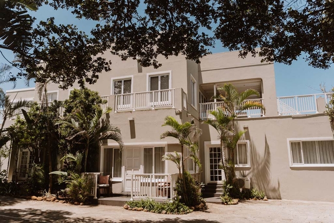
La Lucia Bed & Breakfast
Kites View Bed & BreakfastSleeps 9 people in 5 rooms
Kites View Bed & Breakfast is located in La Lucia, a popular holiday destination in KwaZulu Natal. Rooms are offered on ...
- free wifi
- parking
- swimming pool
- aircon
- from 1600
- R
- 1520
- per room per night
based on 2 persons
instant booking possible
La Lucia Bed & Breakfast
Seaview Manor Exquisite Bed & BreakfastSleeps 8 people in 4 rooms
Seaview Manor is a luxurious Bed and Breakfast situated at the center of the little Eden-like suburbs of La Lucia. It ...
- free wifi
- parking
- swimming pool
- aircon
- from 1990
- R
- 1891
- per room per night
based on 2 persons
instant booking possible

La Lucia Guest House
Umhlanga LodgeSleeps 9 people in 4 rooms
Located in La Lucia, Umhlanga Lodge offers accommodation in four separate rooms. The establishment has a large heated ...
- free wifi
- all ages welcome
- parking
- swimming pool
- from 1390
- R
- 1321
- per room per night
based on 2 persons
instant booking possible
Durban North Guest House
Dyna Guest HouseSleeps 8 people in 4 rooms
Dyna Guest House is located in the suburb of Glen Anil, Durban North and provides accommodation for a total of eight ...
- free wifi
- all ages welcome
- parking
- swimming pool
- aircon
- tonight from
- R
- 850
- per room per night
based on 2 persons
YOU ARE CURRENTLY BROWSING » South Africa » South Africa Accommodation » KwaZulu Natal Accommodation » Durban Accommodation » Umhlanga Coast Accommodation » La Lucia Accommodation
Why book with SA-Venues.com
- Your card is safe with us; strictest card verification in the industry and we don't store card numbers.
- No airy fairy service fees; you save!
- We care. Service with integrity.
- Multiple payment methods:
credit card, SID instant EFT, bank transfer. - All La Lucia property owners / managers are verified (our experience protects you from online fraud).
- Secure your booking
Destination La Lucia
- By type in La Lucia
- La Lucia Accommodation
- La Lucia Hotels
- La Lucia Guest Houses
- La Lucia Bed & Breakfast
- La Lucia Self Catering
- & Holiday Apartments & Suites
- & Holiday Homes & Villas
- La Lucia Honeymoons
- Destinations near La Lucia
- Mount Edgecombe, Mount Moreland, Sunningdale, Umdloti, Umhlanga Ridge, Umhlanga Rocks
- Resources for tourists
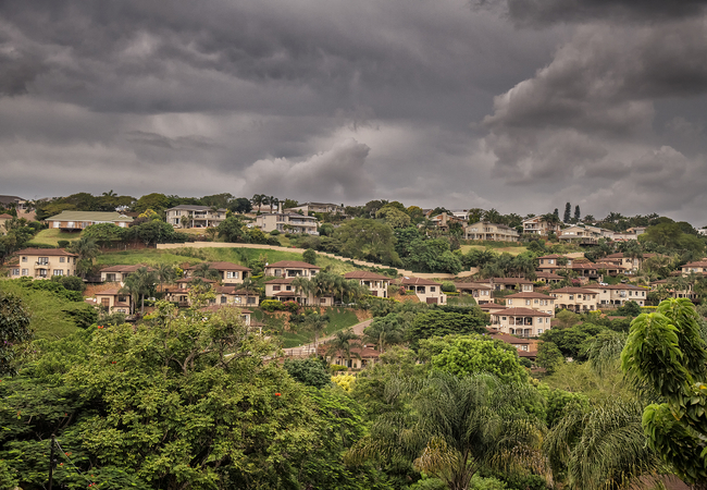
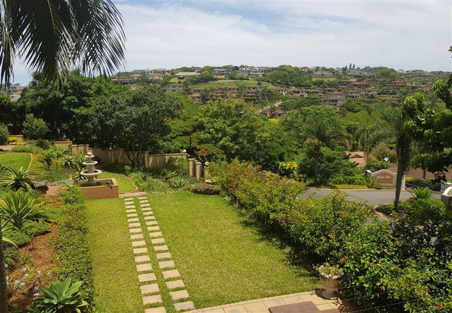
- About La Lucia
- Things To Do
- Attractions
- Reviews
Find and Book Your Perfect La Lucia Accommodations
- We feature a range of places to stay to suit all travel needs and budgets. The La Lucia accommodation search facility is easy to use and you can make your accommodation booking online or request a quote from your chosen venues. La Lucia accommodation establishments include self-catering, B&Bs, guest houses and hotels.
Frequently requested facilities are highlighted for each accommodation establishment when available to help you pinpoint appropriate venues, and reviews give you further insight.