Map of Robertson, Western Cape
Robertson street level map showing the location of popular attractions including the Robertson Museum and Robertson Winery. Robertson is located in The Heart of Route 62, the longest wine route in the world which stretches all the way from Cape Town to Port Elizabeth. To find out more about Robertson please see Robertson Information.
If you are interested in overnighting in the area, we can recommend some great accommodation options including hotels, guest houses and self-catering properties. If you're only planning on driving through Robertson, en-route to another destination, you may want to peruse our Robertson Restaurants before you leave to see if you should plan a stop here for lunch or maybe just a coffee. Also check out Robertson Things To Do to see if there are any activities for which you would consider stopping.
Maps of the Western Cape
Provincial Maps
Street Level Maps
Western Cape Regions
Special Interests by Map
In the vicinity
Hotels & other accommodation options
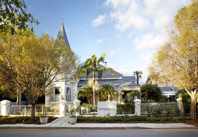
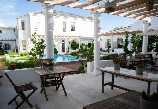
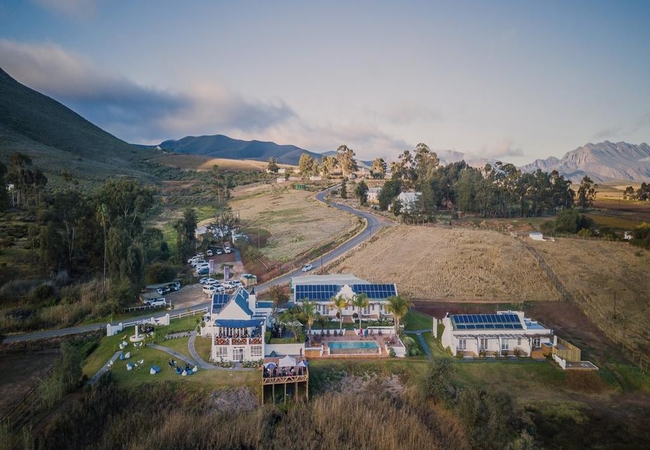
The Robertson Small Hotel
Chic sophistication meets old world charm at The Robertson Small Hotel, a luxurious 5-star country retreat luring with unsurpassed comfort, excep...
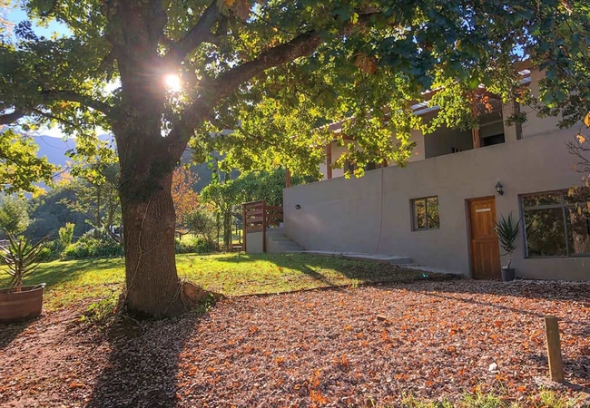
Farmhouse Erika
Farmhouse Erika is located on the Pat Busch Mountain Reserve and offers guest a spacious holiday home for a large group. When staying at Pat Busc...
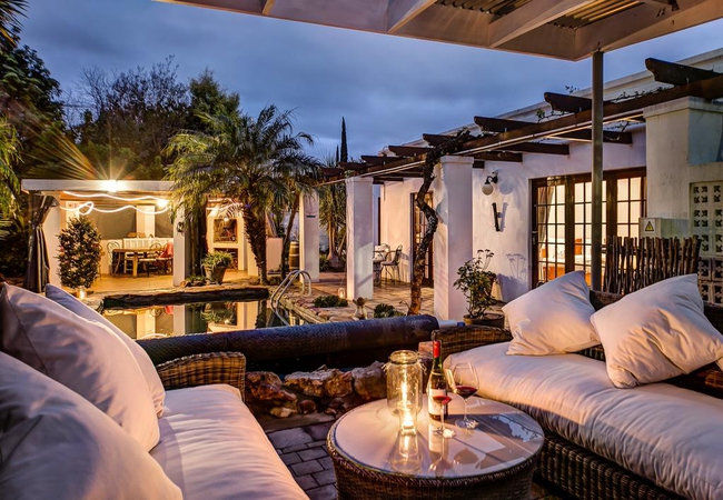
GuBas De Hoek meet eat sleep
The German quality, 'feel good' guesthouse with the green touch, a fine cuisine and super long beds. Relax in the old-world comfort of our beauti...
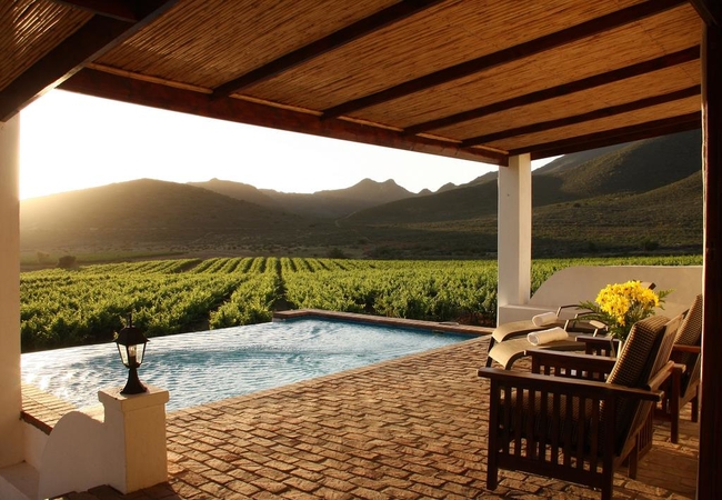
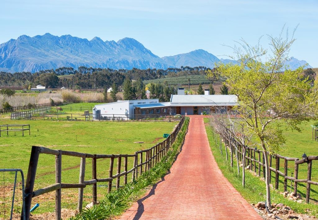
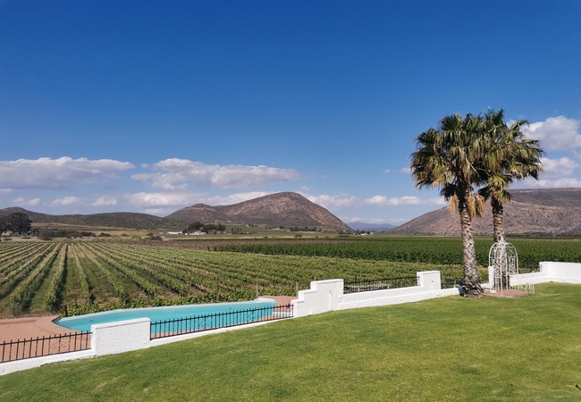
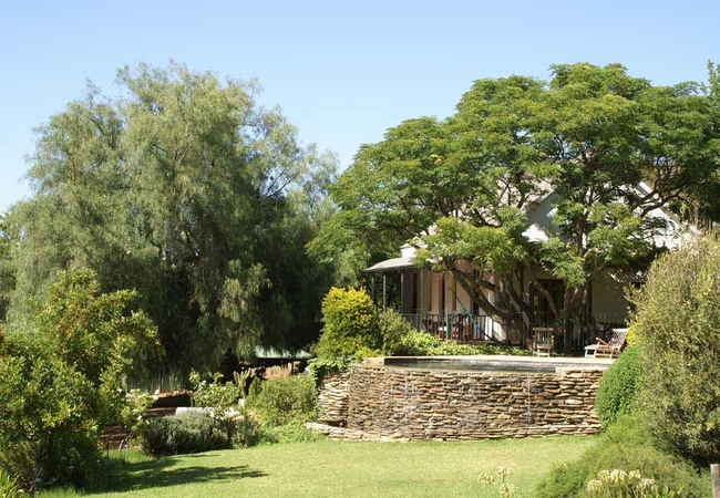
Orange Grove
Orange Grove is a working wine and olive farm situated in the heart of Robertson's valley of wine and roses. The farm is less than two hours from...
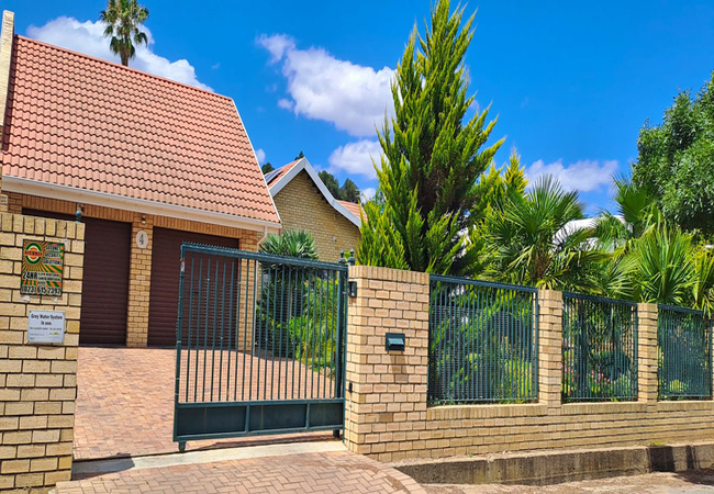
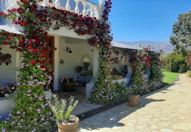
Petal's Place
Petal's Place is an upmarket, owner run guesthouse in Robertson. Petal's Place has five rooms all of which have air-conditioning, Wi-Fi, DStv, a ...
Scotsfontein Estate
Scotsfontein Estate is situated in Agterkliphoogte and offers accommodation in Robertson in a quiet, peaceful area away from the hustle and bustl...
Flute Cottage at Klawerjas
Flute Cottage is a holiday home with two en-suite bedrooms. The kitchen is fully equipped for self-catering and the cosy lounge area has a firepl...
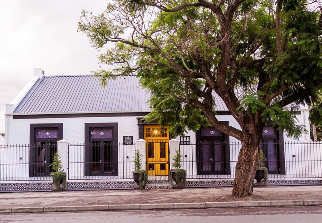
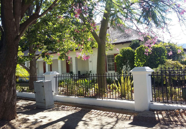
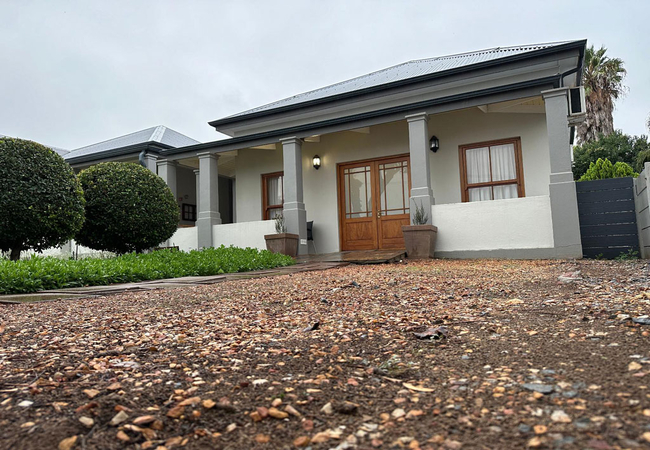
House of Pinardt
House of Pinardt offers accommodation in a restored heritage building built in 1902 by the Colyn's and is situated in the heart of Robertson and ...
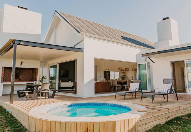
The Grand Hotel Robertson
At The Grand Hotel, we invite you to immerse yourself in an extraordinary fusion of opulence and vinicultural excellence. Our boutique accommodat...

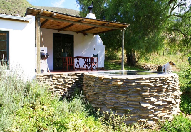
Stay At Running Stream
Stay @ Running Stream offers accommodation in Ashton that is a perfect getaway for nature lovers who want a quiet and off-the-grid stay. The gard...
Pepper Tree Cottage @ Tierhoek
Pepper Tree Cottage can be found nestled in the private Tierhoek Valley at the foot of the Langeberg Mountains near Robertson. Pepper Tree Cottag...
16 Garden Cottage
Located in the Robertson Wine Valley, 16 Garden Cottage offers comfortable accommodation for up to four guests. Situated on the same erf as GuBas...
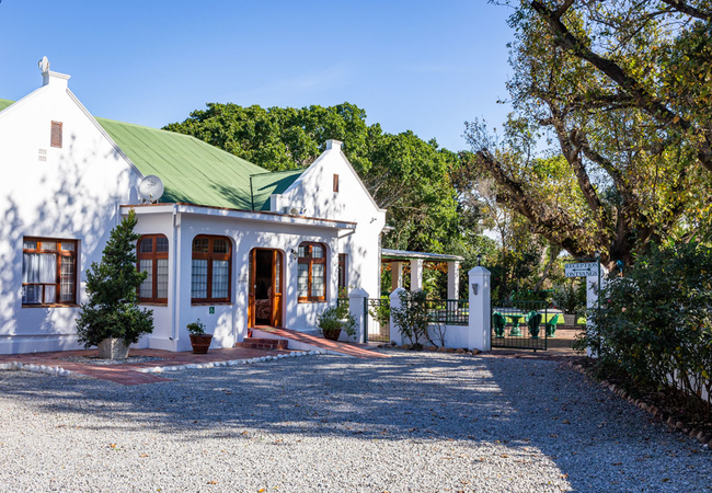
Ballinderry - The Robertson Guest House
This 4 star boutique guest house offers luxury accommodation and a relaxing stay in style and comfort. Renowned for its sumptuous champagne break...
Longlands Cottage
Longlands Cottage offers accommodation in Robertson on Orange Grove Farm with an enchanting setting for the perfect country escape. The Cottage i...
Cellar1980
Cellar1980 boasts gorgeous views and offers accommodation surrounded by the Langeberg Mountains and vineyards. This accommodation is close to the...
Delportshoop Cottage
Situated on a high ridge overlooking the farm dam, Delportshoop Cottage is an idyllic country-style retreat offering accommodation in Robertson o...
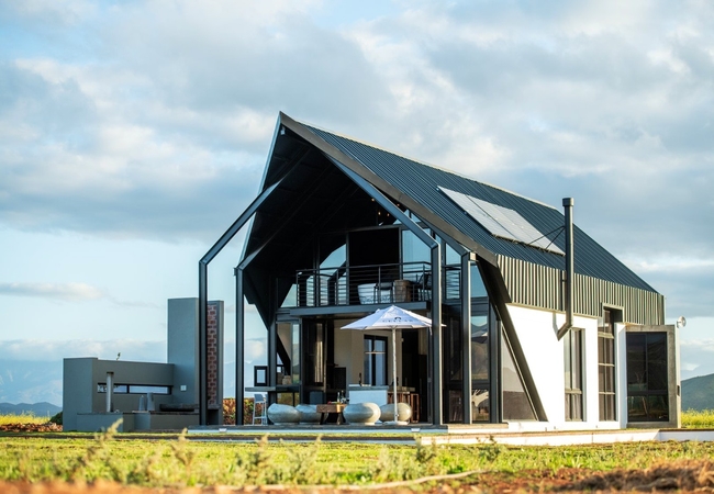
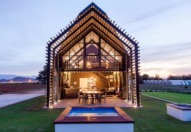
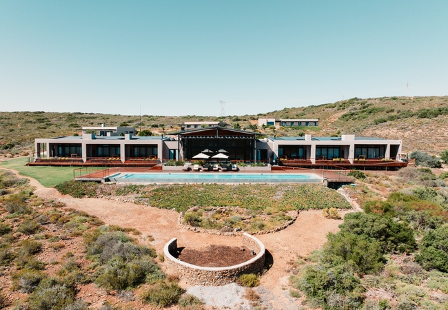
theLAB Robertson
This luxurious wine estate, established in 1805, offers breathtaking scenery, a spa with treatment facilities, an exclusive country restaurant, a...

16 White House
16 White House is a self-catering holiday home in Robertson. Country life is at its best with the convenience of staying in Robertson close to re...
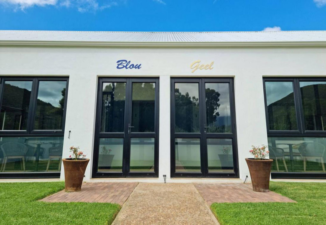
Hayburg House
Hayburg House offers accommodation in a choice of luxury apartment in the town of Robertson. The apartments have easy access to amenities and tou...
Buffelsbank Cottage
Buffelsbank Cottage offers accommodation in Robertson on Orange Grove Farm that overlooks the vineyards and has wonderful views of the valley, mo...
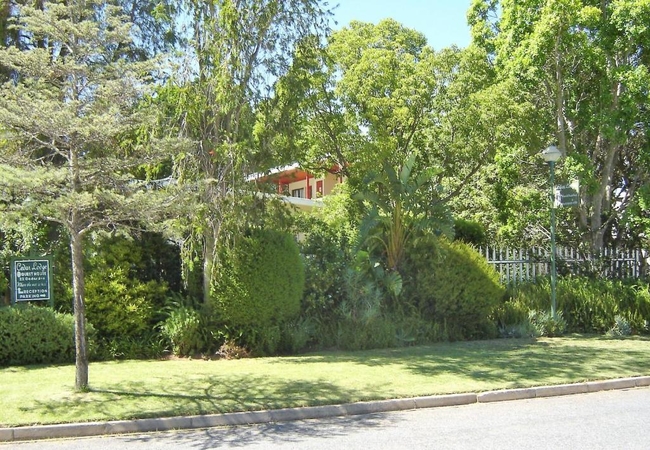
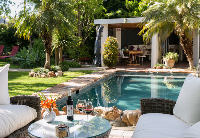
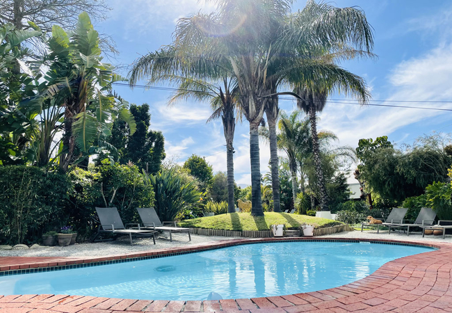
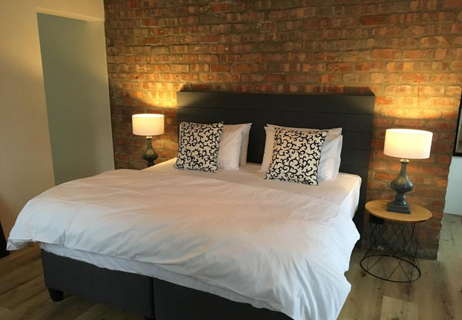
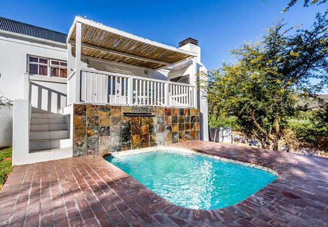
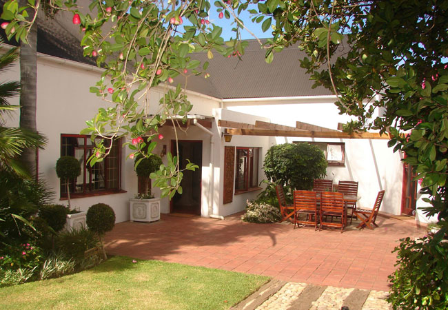
Cedar Lodge Guest House
Cedar Lodge Guest House offers up-market accommodation in a quiet residential area of Robertson. A large tropical garden with abundant birdlife, ...
Randrivier Bed & Breakfast
Randrivier is an idyllic thatched roof establishment near Robertson, a town renowned for its tranquility and the excellent wines produced in the ...
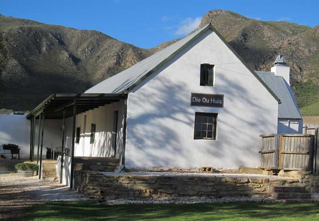
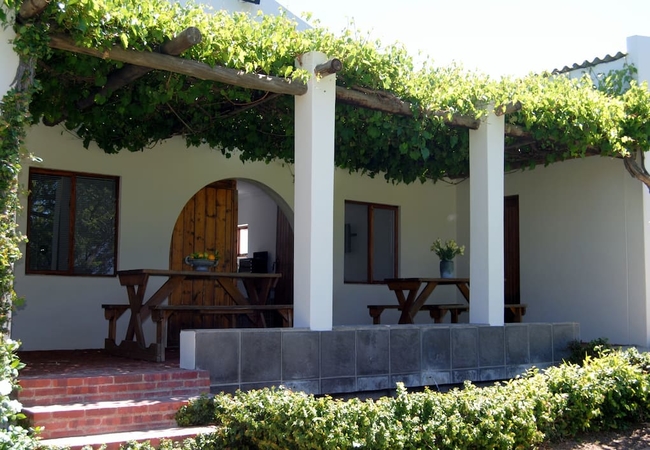
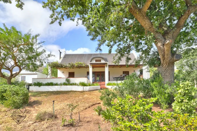
Die Ou Huis
Die Ou Huis (The Old House) is a historical farmhouse from the 18th century, which has been lovingly renovated on the fruit farm Wilde Paarde Klo...
Galloway Guest House
Galloway Guest House offers superb bed and breakfast accommodation in a luxury guest house on a farm in Klaasvoogds West Meander in the Robertson...
Olive Hill Guest House
Olive Hill is a holiday home that can accommodate up to eight guests in four en-suite bedrooms. Three of the bedrooms have Queen-size beds and th...
Green Olive Guesthouse
Green Olive Guesthouse boasts breathtaking views of the Langeberg Mountains. It is set between roses and vineyards on three and a half hectares o...
Cellar1947
Cellar1947 boasts gorgeous views and offers accommodation surrounded by the Langeberg Mountains and vineyards. This accommodation is close to the...
Mo & Rose at Soekershof
Discover Mo & Rose's country getaway for exploring the Robertson Wine Valley - situated on perhaps the world's longest wine route the R60 / R62 j...
DuVon Farmhouse
DuVon Wine Farm and Guesthouse, nestled amongst the vineyards and gardens of the farm Little Italy, is situated 30km from Worcester and 10km from...
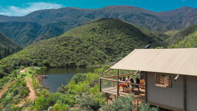
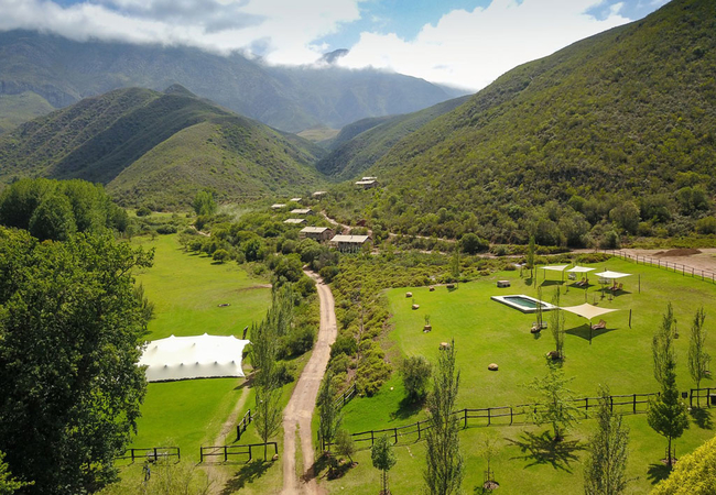
AfriCamps at Pat Busch Mountain Reserve
AfriCamps at Pat Busch Mountain Reserve offers spacious boutique tented accommodation in Robertson. AfriCamps tents sleep up to five guests each ...

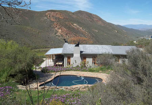
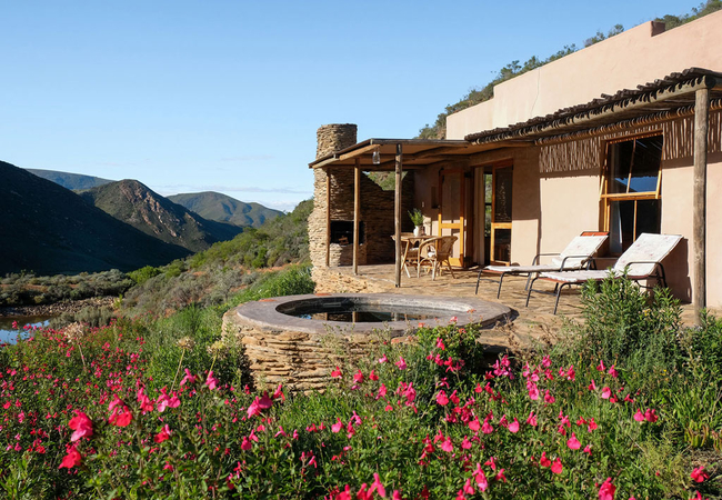
Tierhoek Stone Cottage
Tierhoek Stone Cottage offers accommodation on a working fruit farm that is only two hours away from Cape Town. Stone Cottage is set above the Sp...
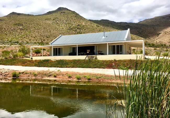
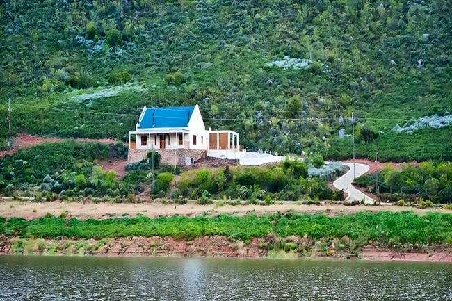
Robertson Stays
Robertson Stays is a stunning farmhouse overlooking a dam and mountain range. The Breede River Valley self catering house is a haven of peace and...
Quince Cottage
Tierhoek Quince Cottage offers accommodation in Robertson on a working organic fruit farm. Here you can find peace and tranquillity, ideal for ro...
Buitehof Kelder
Buitehof Kelder offers accommodation in a charming apartment situated on a farm on the McGregor Road just outside Robertson. Guests can enjoy pea...
Tierhoek Fig Tree
Tierhoek Fig Tree offers accommodation in Robertson nestled in the private Tierhoek Valley at the foot of the Laangeberg Mountains. Here you can ...
De Hoop Cottages
De Hoop Cottages offer affordable farm accommodation just 10 km out of Robertson on the farm Laaiplaas, which is situated right at the end of the...
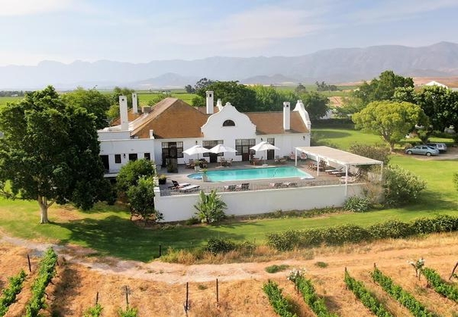
Excelsior Manor Guesthouse
Grandeur, spaciousness, comfort and serenity - the attributes of a palace. If you ever feel the need to experience a palace in the Breede River V...
Tierhoek Cottages
Tierhoek Cottages can be found nestled in the private Tierhoek Valley at the foot of the Laangeberg Mountains near Robertson, only two hours away...
Khanyisa Mountain Lodge
Khanyisa Mountain Lodge provides a fine luxury retreat for an unforgettable breakaway for the discerning guest and traveller. Enjoy a beautiful n...

Albatross Country House
Have a memorable, Breede River Valley self catering stay, in the Albatross Country House enjoyed with good company and good wine from our own Rob...
Wouterspan Lodge
Wouterspan Cottage offers accommodation in Robertson that is perfect for families wanting a comfortable home-away-from-home retreat. Enjoy specta...
Vigne Cottage
Set on the Bon Courage Wine Estate, Vigne Cottage is just a few minutes drive from town. The lovely farm cottage can accommodate up to six guests...

De Oude Opstal
De Oude Opstal (the oldest house in Robertson) is a historical Cape Dutch Manor House located on two acres in Robertson in the Breede River Valle...
Arnheim Guesthouse
Arnheim Guesthouse is a lovely three bedroom house found in the popular area of Robertson. The house sleeps six guests in three lovely bedrooms. ...
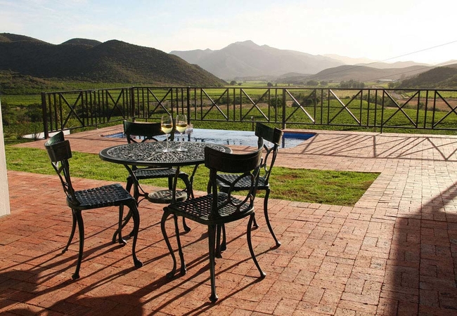
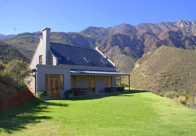
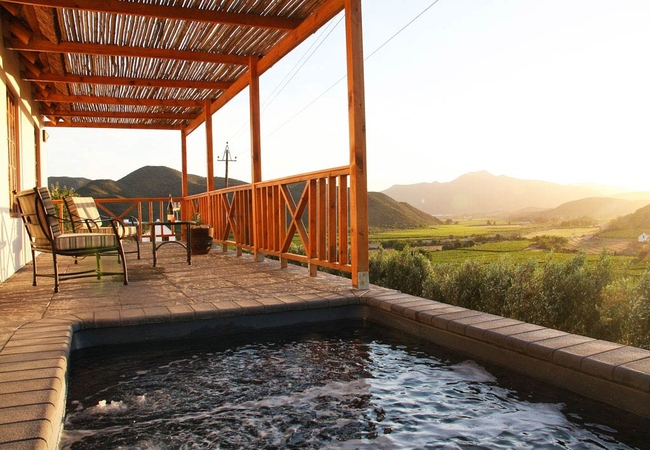
FineView Cottage
Fineview Cottage is named for the spectacular views over the farm and the surrounding valleys below the high ridge on which the cottage is nestle...
Tierhoek House and Cottage
Tierhoek House and Cottage offers Robertson accommodation only two hours away from Cape Town. Tierhoek House and Cottage are situated on a workin...
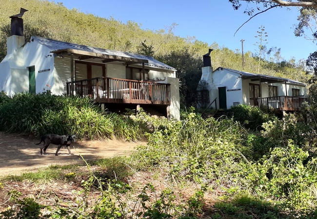
Pat Busch Mountain Reserve
Pat Busch Mountain Reserve offers lovely self catering accommodation in a number of cottages. Here you can immerse yourself in the tranquility an...
Mosesberg Cottage
Mosesberg Cottage offers accommodation in Robertson with panoramic views of the surrounding olive groves, vineyards, mountains, and valleys. Situ...
Vlettershof Guest House
Situated in Robertson, Vlettershof Guest House offers comfortable accommodation for up to eight guests. In the area you are able to go on wine to...
Things to do in the area - see all in Breede River Valley
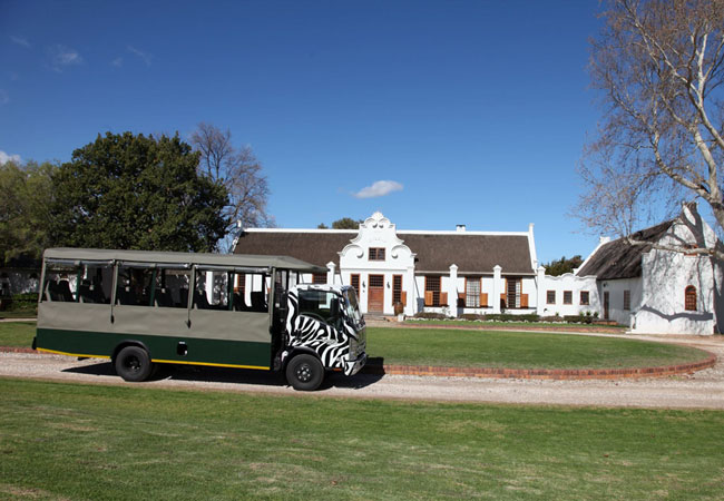
Wine Valley Safari
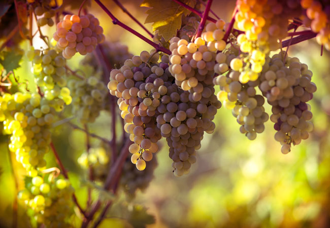
The Robertson Wine Valley produces some of the most delicious and respected wines in South Africa. And, as an added benefit, it is absolutely bea...
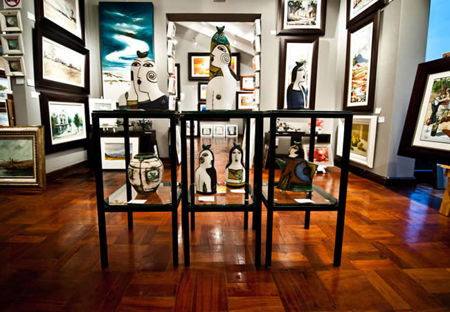
Robertson Art Gallery
If you are interested in adding South African art work to your art collection then stop off at The Robertson Art Gallery. Carefully selected art ...
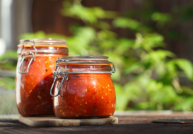
Robertson Farmers Market
The Robertson Farmers Market is now in its sixth year and is a great place for visitors and Robertson locals alike. Arrive early, have a coffee, ...
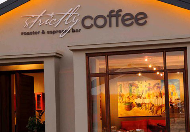
Strictly Coffee
Looking for the best cup of coffee in Robertson? Look no further then Strictly Coffee. This vibrant shop is the only boutique coffee shop in Robe...
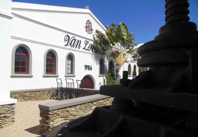
Van Loveren Vineyards
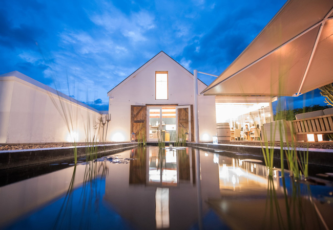
Van Loveren is situated 180 kilometers from Cape Town, in the Breede River Valley between Robertson and Bonnievale. Banks of scarlet cannas along...
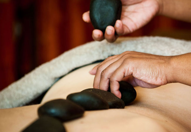
Visit the Wellness Centre at Rosendal
At the Spa of Rosendal the qualified therapists offers traditional treatments using products from wine grapes, powered with antioxidants and feel...
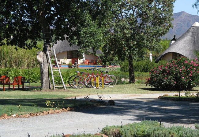
Explore Robertson by Bike
Explore the Robertson Wine Valley on a bicycle, enjoy a close-up view of the beautiful surroundings, visit local attractions, do some wine tastin...
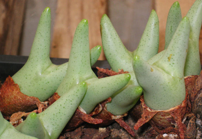
Sheilam Cactus Garden & Nursery
Established in 1954 this cactus and succulent nursery has been owned and operated by the Schwegmann family since 1967. Located outside Cape Town,...
Arabella Wine Estate
The Arabella Wine Estate is a family business and a passionate one at that. Striving to create the best wine possible is the objective and the nu...
Noteworthy attractions - see all in Breede River Valley
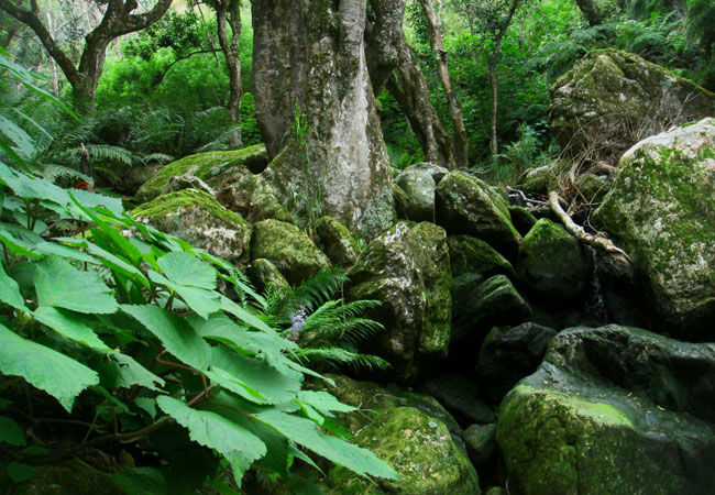
Marloth Nature Reserve
Lying just three kilometres from the pretty little town of Swellendam, the Marloth Nature Reserve conserves the central Langeberg Mountains that ...

Vrolijkheid Nature Reserve
Set in a part of the country known as the arid Robertson Karoo, the Vrolijkheid Nature Reserve lies in the Breede River Valley, roughly 15 kilome...
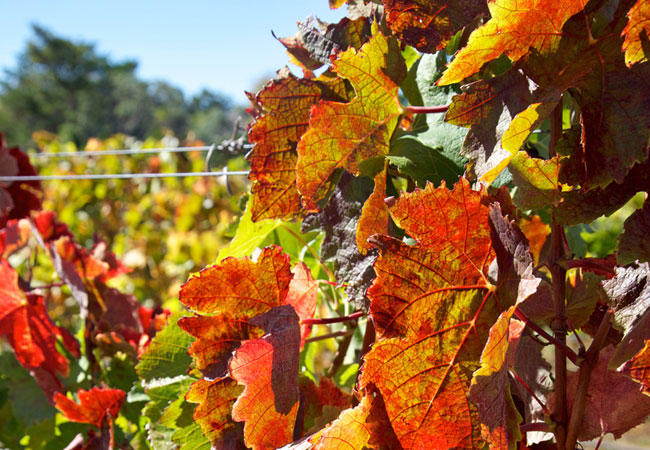
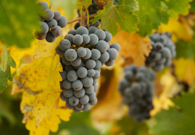
Robertson Wine Route
Only 1.5 hours drive from Cape Town and in the heart of Route 62 - the longest wine route in the country - Robertson Wine Valley lies surrounded...
Tulbagh Wine Route
Only 80 minutes drive from Cape Town, the Tulbagh Valley lies surrounded on three sides by mountains in the west, the Obiqua Mountains, to the...
Worcester Wine Route
The Worcester winelands incorporate over 250 years of winemaking knowledge to produce, amongst other cultivars, Cabernet Sauvignon, Chenin Blanc ...
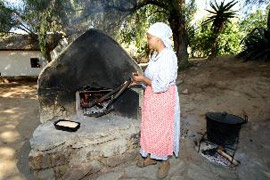
Kleinplasie Worcester Open Air Museum
1km outside Worcester, is Kleinplasie Living Open-air Museum. Here we depict the lifestyle of the early Cape pioneer farmers. Activities like tob...

Worcester Golf Club
The Worcester Golf Club is situated at the start of the Western Capes Klein Karoo, approximately 50 minutes from Cape Town en route to Oudtshoor...
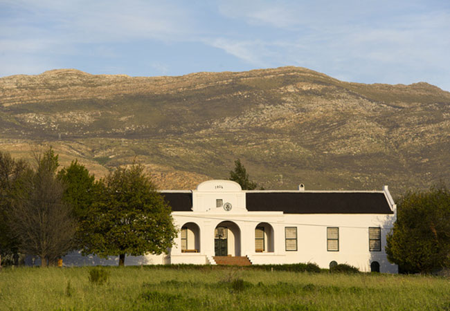
De Oude Drostdy
Definitely high on the list of must visits when in Tulbagh, De Oude Drostdy is a typical Cape Dutch style home built in 1804 just outside the t...
Karoo Desert National Botanical Garden
In Roux Road on the outskirts of Worcester, some 120 kilometres from Cape Town, lies a unique gem of a garden - the only truly succulent garden i...
Find accommodation in Robertson
FIND / South Africa Accommodation / Western Cape Accommodation / Cape Town Accommodation / Breede River Valley Accommodation / Robertson Accommodation
Robertson as a destination
Why book with SA-Venues.com
- Your card is safe with us; strictest card verification in the industry and we don't store card numbers.
- No airy fairy service fees; you save!
- We care. Service with integrity.
- Multiple payment methods:
credit card, SID instant EFT, bank transfer. - All Robertson property owners / managers are verified (our experience protects you from online fraud).
- Secure your booking
Maps
Destination Robertson
- By type in Robertson
- Robertson Accommodation
- Robertson Hotels
- Robertson Guest Houses
- Robertson Bed & Breakfast
- Robertson Self Catering
- & Holiday Apartments & Suites
- & Holiday Cottages & Chalets
- & Holiday Homes & Villas
- Robertson Conferences
- Robertson Weddings
- Robertson Honeymoons
- Destinations near Robertson
- Ashton, Bainskloof, Bonnievale, Breeriver, Ceres, De Doorns, Du Toitskloof, McGregor, Montagu, Prince Alfred Hamlet, Rawsonville, Tulbagh, Wolseley, Worcester
- Resources for tourists
- About Robertson
- Things To Do
- Attractions
- Reviews