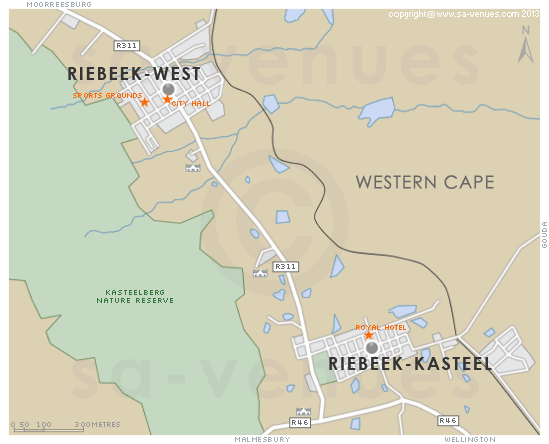
Map of Riebeek West, Western Cape
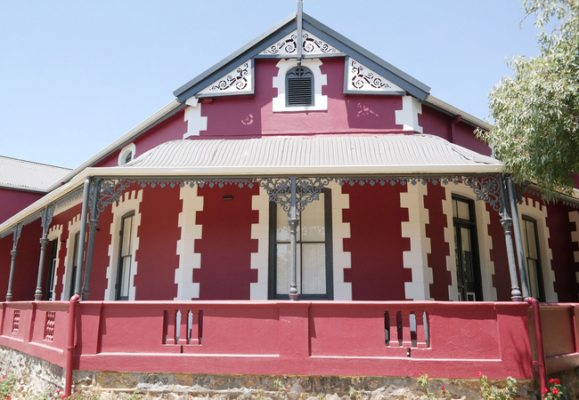
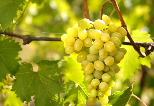
Riebeek West detail and street level map showing popular landmarks and attractions. One of two comparable towns lying in the stunning Riebeek Valley - Riebeek West and Riebeek Kasteel - with views that have had many a day tripper making rash decisions to relocate, Riebeek West might be regarded as the Cinderella of the two, but has its own draw cards - beautiful old Victorian houses, peace and quiet, and easy access to local vineyards ... To find out more about Riebeek West please see Riebeek West Information.
If you are interested in overnighting in the area, we can recommend some great accommodation options including hotels, guest houses and self-catering properties. If you're only planning on driving through Riebeek West, en-route to another destination, you may want to peruse our Riebeek West Restaurants before you leave to see if you should plan a stop here for lunch or maybe just a coffee. Also check out Riebeek West Things To Do to see if there are any activities for which you would consider stopping.
Maps of the Western Cape
Provincial Maps
Street Level Maps
Western Cape Regions
Special Interests by Map
In the vicinity
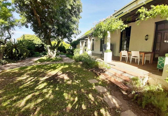
Hotels & other accommodation options
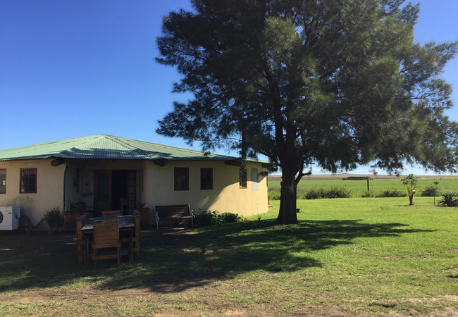
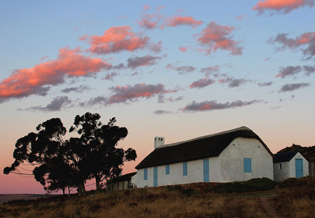
Klipdrift Farm Stay
Klipdrift Farm Stay offers self catering Swartland accommodation on a working farm. It is located 16km outside of Riebeeck West, in the Swartland...
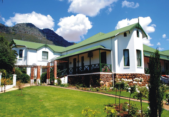
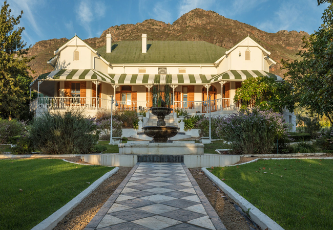
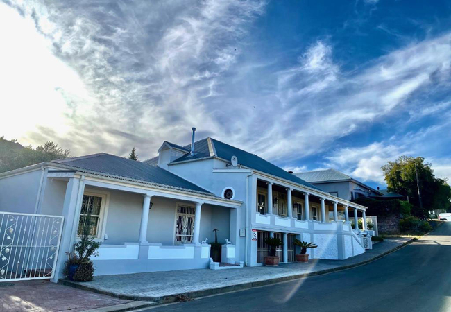
Riebeek Valley Hotel
Riebeek Valley Hotel is a tranquil and romantic country retreat with vistas of picturesque vineyards, olive groves and majestic Kasteelberg Mount...
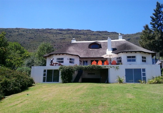
Merindol Manor
Merindol Manor is one of the oldest houses in the Valley. All rooms at Merindol Manor have a flat-screen TV with satellite channels. Views of th...
Brambleberry Farm
Brambleberry Farm offers four double bedrooms, each with an en-suite. Two rooms are in the main house and two rooms are downstairs. These two hav...
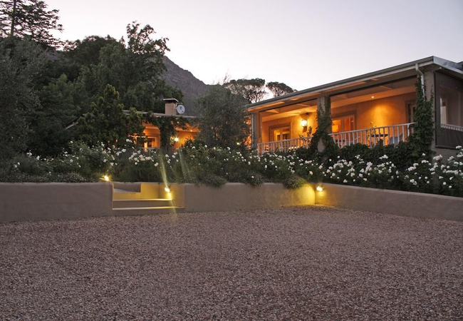
Schoemansrus Guest House
Located in the Swartland town of Riebeek West, Schoemansrus Guest House offers bed and breakfast accommodation. The guest house is set in a large...
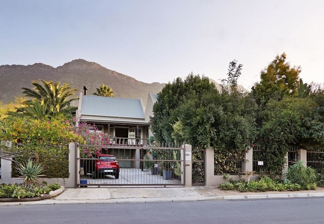
1 Royal Street Guesthouse
1 Royal Street Guesthouse in Riebeek Kasteel is a unique and charming boutique guesthouse nestled in the heart of one of the oldest and most hist...
Things to do in the area - see all in Swartland
Allesverloren Wine Estate
Allesverloren dates back to the the 17th century and is one of the oldest estates in the Swartland. The Malan family have owned it since 1872 whe...

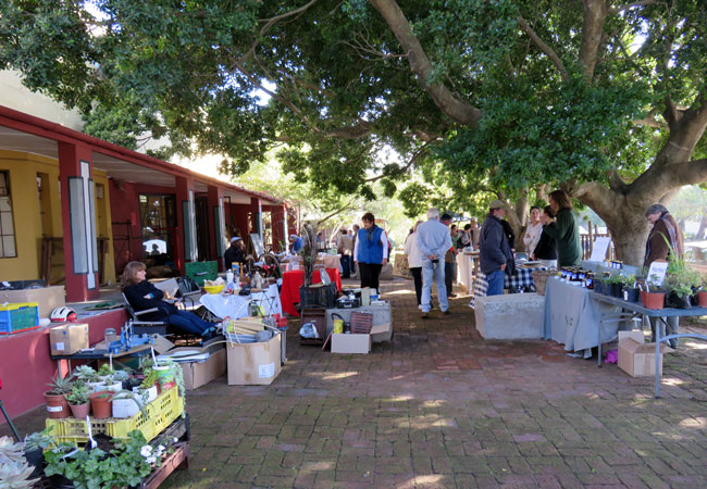
Short Street Market
This market might be on Short Street but its by no means short on stalls, atmosphere or fun! The Short Street Market takes place on the last Satu...
Game Drive at Bartholomeus Klip
Morning game drives are available in the 10 000 acre Bartholomeus Klip Hermon Private Nature Reserve. There are many animals here, easily seen i...
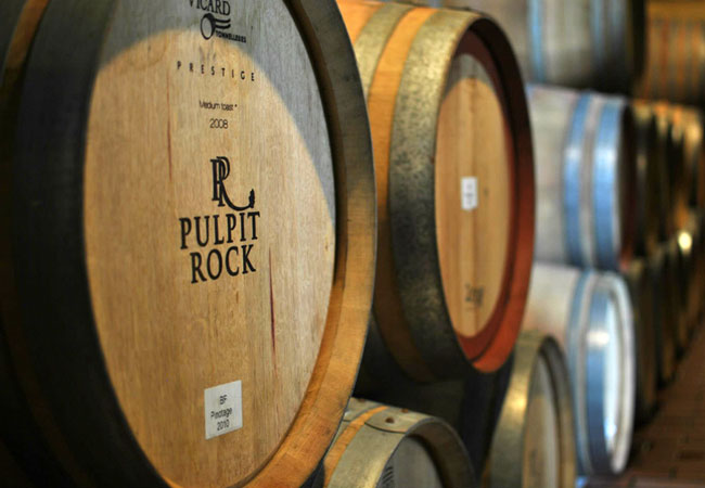
Pulpit Rock Winery
In 1918 Grandpa Brink was offered a job as winemaker of Groot Constantia which he declined as wasnt the right time and the family longed to make...
Du Vlei Farm Stall
The Du Vlei farmstall and restaurant is situated between Riebeek Kasteel and Hermon on the R46.Breakfast and lunch are served daily from 08h00 un...
Mullineux Winery
Mullineux is world-renowned as fine wine producers, while defining Syrah and Chenin Blanc through the lens of the Swartland appellation of South ...

Pieter Cruythoff Route Trail
Start: stile to the north of the memorial on Bothmanskloof PassFinish: back where you startedDuration: 2, 3 hoursFitness: moderateOur tip: you sh...

Carl Thunberg Route
Start: Pulpit Rock Winery, north of Riebeek West on the R311Finish: back where you startedDuration: 2, 3 hoursFitness: moderateOur tip: you can g...
The Village Market
This is a true Village market offering handmade and home grown crafts and foods. Baskets leave laden with a multitude of delicious goodies to eat...
Noteworthy attractions - see all in Swartland
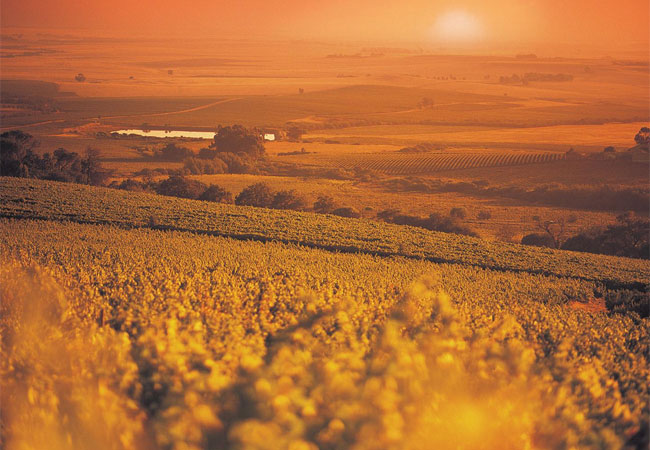
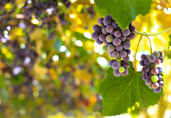
Swartland Wine Route
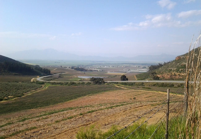
Meaning black country and named after the indigenous Renosterbos, which turns a dark colour at a certain time of the year, the wine route exten...
Dasklip Pass
Near the town of Porterville you will find Dasklip Pass, famous for its launching pad for experienced hang-gliders. Local paragliding championshi...
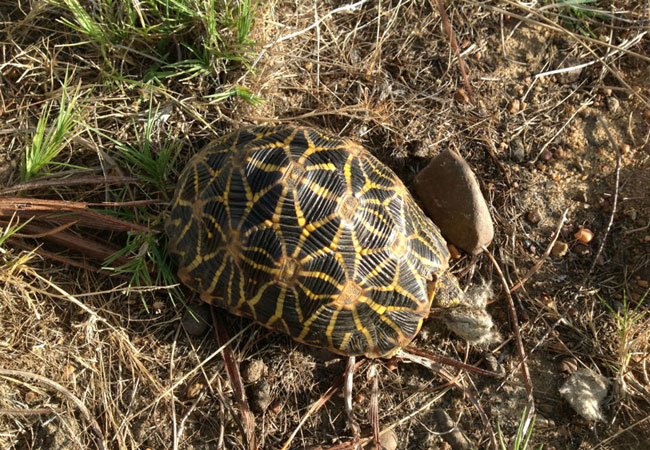
Renosterveld Reserve
Situated in the village of Darling, the Renosterveld Reserve, which you will find at the top of the village on a hill just behind the Darling Pri...
Tienie Versveld Reserve
The Tienie Versveld Reserve lies just outside Darling en route to Yzerfontein, part of a farm that was donated to the National Botanical Society ...
Berg River Region
North of the Berg River lie the little towns of Piketberg, Porterville, Wittewater, Goedverwacht, Veddrif, Aurora, Eendekuil and Redelinghuys. Kn...
Bartholomeus Klip Renosterveld Reserve
On Bartholomeus Klip's grassy plains you will find wild animals in one of the last spaces, so close to a city, that still allows for game to free...
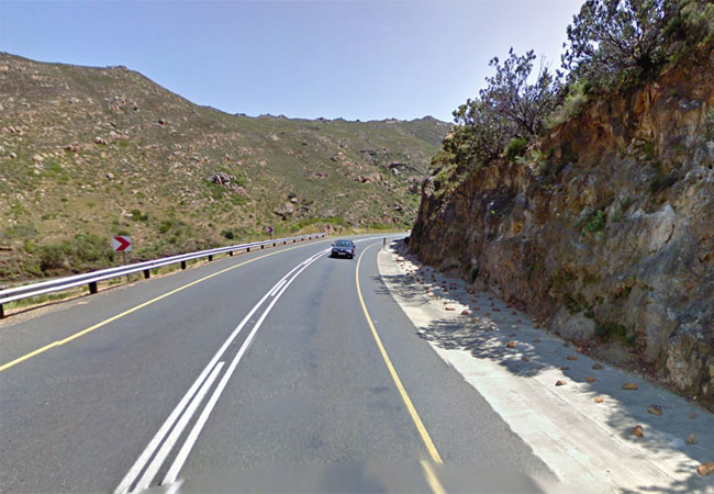
Bothmaskloof Pass
Bothmaskloof Pass connects the towns of Malmesbury and Riebeeck Kasteel on the R46. Sometimes also known as Bothmanskloof, the pass takes one ove...
Nuwekloof Pass
The Nuwekloof Pass connects the town of Tulbagh with Riebeek-Kasteel and Wellington. Historically it has been called the Oudekloof, Tulbaghkloof ...
Verlorenvlei Heritage Settlement
What was once a thriving little hamlet on the shores of Verlorenvlei (40 buildings or ruins were still in evidence in 1992) is only a few survivi...
Find accommodation in Riebeek West
FIND / South Africa Accommodation / Western Cape Accommodation / Cape Town Accommodation / Swartland Accommodation / Riebeek West Accommodation
Riebeek West as a destination
Why book with SA-Venues.com
- Your card is safe with us; strictest card verification in the industry and we don't store card numbers.
- No airy fairy service fees; you save!
- We care. Service with integrity.
- Multiple payment methods:
credit card, SID instant EFT, bank transfer. - All Riebeek West property owners / managers are verified (our experience protects you from online fraud).
- Secure your booking
Maps
Destination Riebeek West
- By type in Riebeek West
- Riebeek West Accommodation
- Riebeek West Hotels
- Riebeek West Guest Houses
- Riebeek West Bed & Breakfast
- Riebeek West Self Catering
- & Holiday Apartments & Suites
- & Holiday Cottages & Chalets
- & Holiday Homes & Villas
- Riebeek West Honeymoons
- Destinations near Riebeek West
- Hermon, Koringberg, Malmesbury, Moorreesburg, Piketberg, Porterville, Riebeek Kasteel
- Resources for tourists
- About Riebeek West
- Things To Do
- Attractions
- Reviews