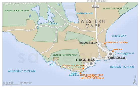
Map of L'Agulhas, Western Cape
L'Agulhas detail and street level map showing popular landmarks including the location of L'Agulhas lighthouse and museum and the most southern-most point in Africa. This beautiful and rugged tip of Africa has been proclaimed a National Park (See Agulhas National Park) and supports a diverse intertidal and marine life. To find out more about please see L'Agulhas Information.
If you are interested in overnighting in the area, we can recommend some great accommodation options including hotels, guest houses and self-catering properties. If you're only planning on driving through L'Agulhas, en-route to another destination, you may want to peruse our L'Agulhas Restaurants before you leave to see if you should plan a stop here for lunch or maybe just a coffee. Also check out L'Agulhas Things To Do to see if there are any activities for which you would consider stopping.
Maps of the Western Cape
Provincial Maps
Street Level Maps
Western Cape Regions
Special Interests by Map
In the vicinity
Hotels & other accommodation options
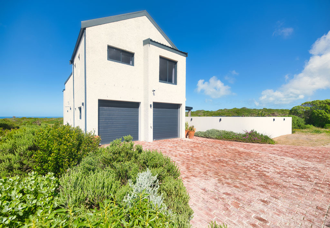
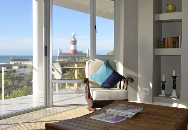
Agulhas Seabreeze
Kick back and relax in this calm, stylish space. Agulhas Seabreeze holiday apartment in Agulhas is near the most Southern tip of Africa. Private,...
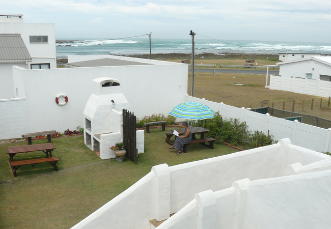
House of 2 Oceans
Situated in the quaint village of Agulhas, House of 2 Oceans offers self catering accommodation near the beach. Relax on your private balcony and...
Beachcombers B&B
Beachcombers B&B is a home away from home, situated in the tranquil town of L'Agulhas at the southernmost tip of Africa. Beachcombers B&B has fou...
Soutbos & Janfrederik Self Catering
Soutbos & Janfrederik Self Catering offers accommodation in two self catering units situated in the town of L'Agulhas. It is perfect for a family...
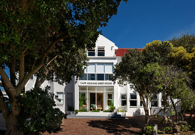
Cape Agulhas Guest House
Cape Agulhas Guest House offers bed & breakfast accommodation in L'Agulhas, just a two minute walk from the sea. There is a fully licensed bar an...
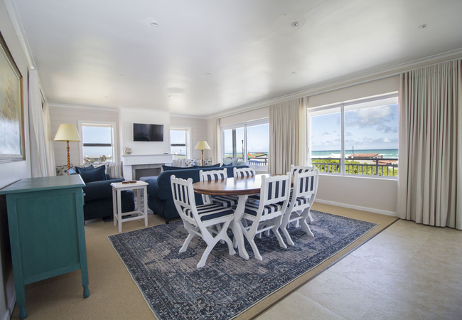
4 On Hoffman Seaview
Set just 100m from the sea, 4 On Hoffman Seaview Guest House offers a relaxing beach getaway with comfortable accommodation in L'Agulhas. The gue...
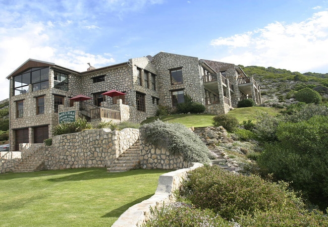
Agulhas Country Lodge
Agulhas Country Lodge is built from local limestone and blends beautifully into a hill overlooking the spectacular oceans. All rooms have sea vie...
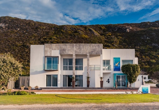
Agulhas Ocean House
Agulhas Ocean House is located at the entrance to Agulhas and looks over glorious, unobstructed seascapes. From May through to November guests ca...
South Point Self Catering & B&B
Situated 200 metres from the gates to the Agulhas National Park and the historic Lighthouse in the picturesque town of L'Agulhas, South Point off...
Chateau de Marine Boutique Hotel & Wellness
Chateau de Marine Boutique Hotel is situated in Struisbaai and offers accommodation in nine luxury bedrooms. The establishment has secure parking...

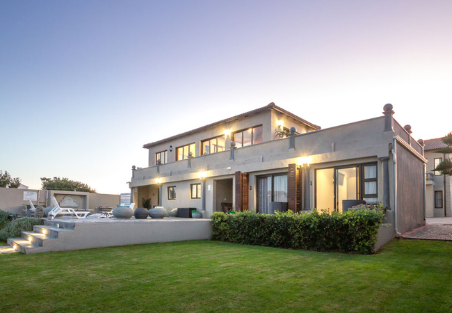
Summer Place B&B
Summer Place is family-friendly beach house offering accommodation within walking distance to the beach. This southerly tip of Africa is a wonder...
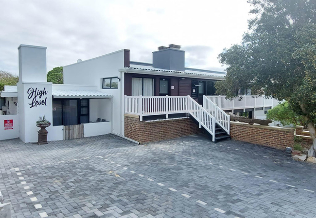
High Level Self Catering
High Level Self Catering holiday apartments in L'Agulhas sleep between two and five guests. All units have a private bathroom, a seating / dining...
Things to do in the area - see all in Cape Agulhas
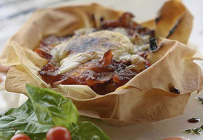
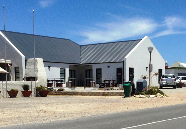
Dine at Agulhas Country Lodge
The friendly staff at Agulhas Country Lodge are very service orientated and take great pride in preparing gourmet country style dinners which are...
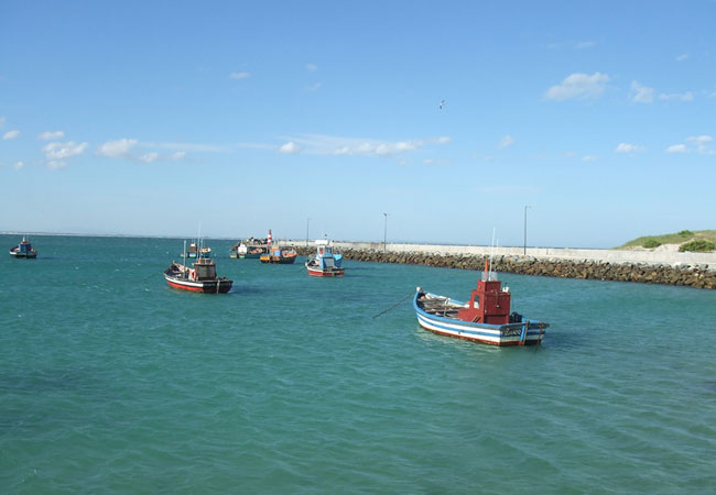
Awesome Charters
Experience angling at the southern most tip of Africa with Awesome Charters, a saltwater fishing charter, based in Struisbaai. Based in the Strui...
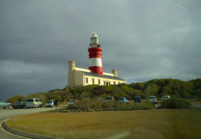
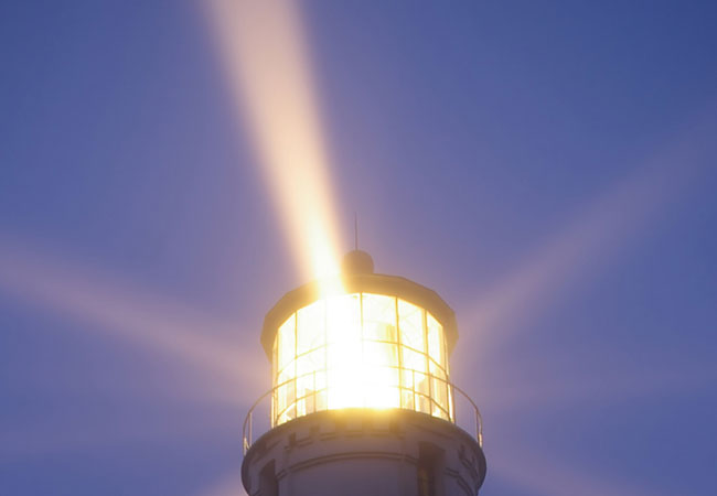
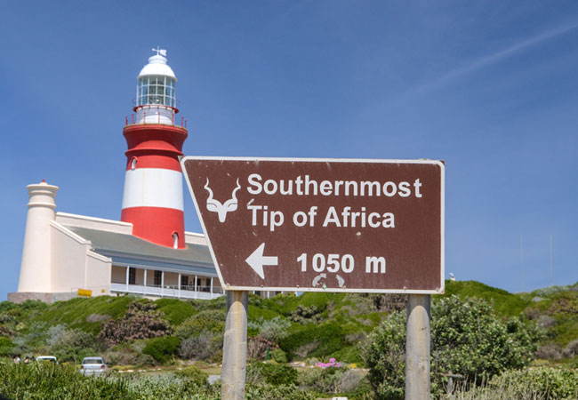
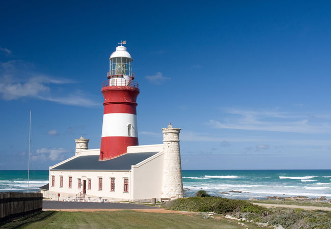
Cape Agulhas Lighthouse
The Cape Agulhas Lighthouse has stood for over 150 years as a maritime chaperone over the notorious 'Cape of Storms', at the most southern tip of...
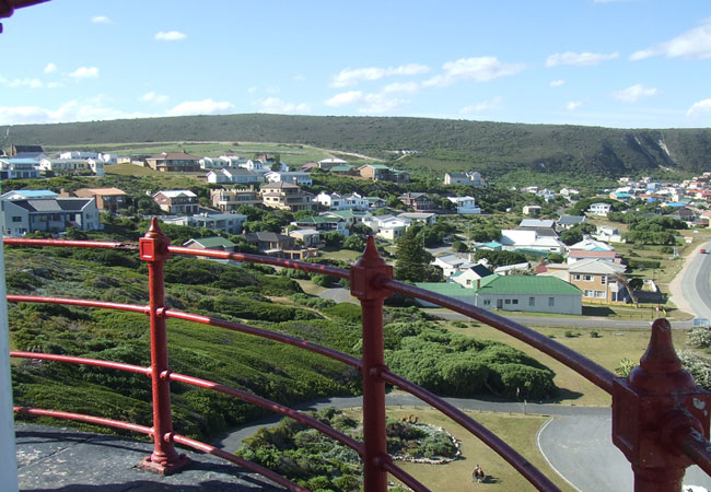
Cape Agulhas Lighthouse Museum
The Cape Agulhas Lighthouse Museum was opened in 1994 and is the only one of its kind that is found in Africa. The museum is a wonderful historic...
Quoin Point Lighthouse
There is a rather menacing peninsula or promontory that lies between Danger Point and Cape Agulhas, known as Quoin Point. It forms the outer east...
Wine Boutique L'Agulhas
Anyone visiting L'Agulhas who loves wine should stop at the Wine Boutique when stocking up for the weekend.There are daily tastings with wine sal...
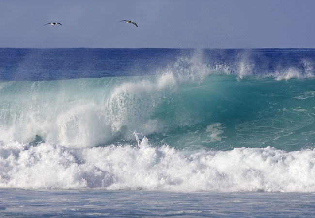
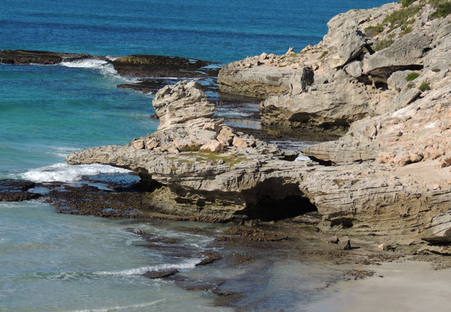
Agulhas Beach
Frolic in the shallow waves where the Indian and Atlantic Oceans meet or better yet see what sea creatures you can identify in the abundant rock ...
Suiderstrand Beach
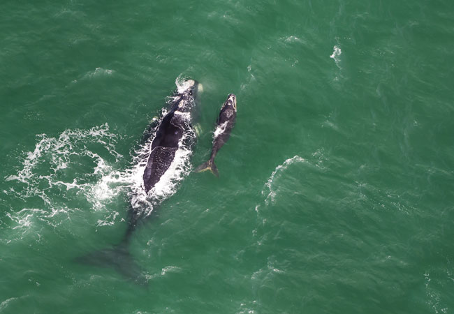
Suiderstrand literally meaning Southern Beach (translated from Afrikaans) is completely surrounded by the Agulhas National Park, which as you c...
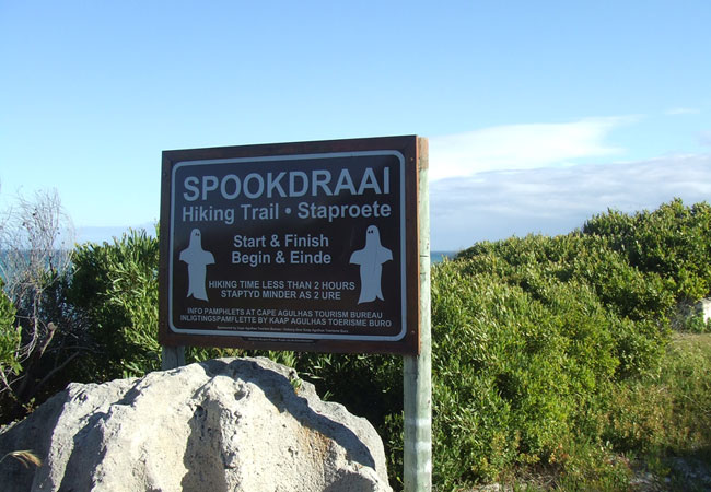
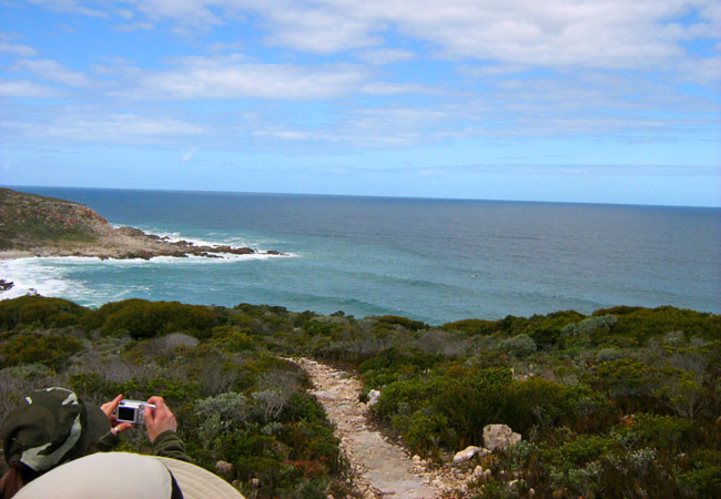
Spookdraai Hiking Trail
There is no secret behind the name of this hiking trail at Cape Agulhas. There have been so many shipwrecks along this coastline that even if you...
Noteworthy attractions - see all in Cape Agulhas
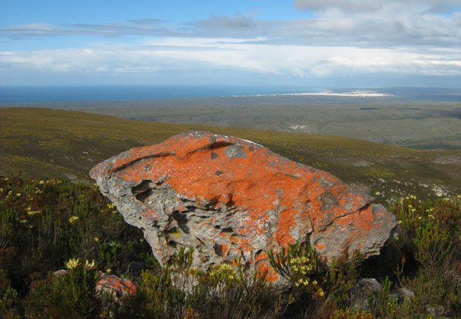
Agulhas National Park
Lying in what is known as the Agulhas Plain at the southernmost tip of Africa is the Agulhas National Park, just 45 kilometres from the popular v...
De Hoop Nature Reserve
The De Hoop Nature Reserve is approximately 34 000 ha in size and one of the largest natural areas managed by Cape Nature Conservation. It is a f...
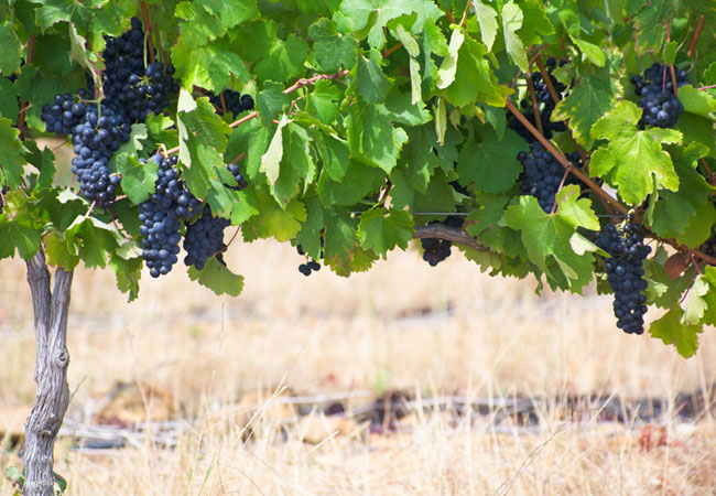
Cape Agulhas Wine Route
Elim is something of a phenomenon as its unique terroir has caused much excitement in the wine community worldwide. The cool and strong winds t...
Waenhuiskrans Nature Reserve
Formerly known as Waenhuiskrans until a ship by the name of Arniston was wrecked here, the village is a much sought after holiday residence becau...
The Whale Coast Route
The Whale Route begins in Cape Town and follows the particularly pretty R44, also known as Clarence Drive, through the Kogelberg Biosphere Reserv...
Tip of Africa Route
Based on the Overberg Tourism map, the Tip of Africa Route starts in Cape Town, where you take the N2 via Grabouw and Caledon to the pretty town ...
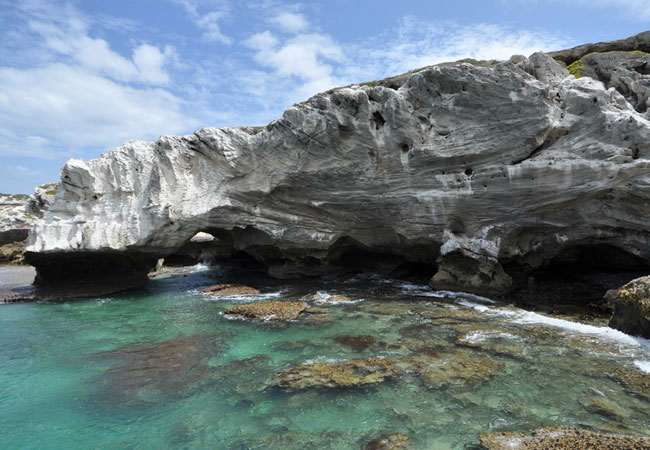
Waenhuiskrans Cave
Waenhuiskrans (wagon house cliff) is the highlight of a visit to Waenhuiskrans Nature Reserve in Arniston. What makes the Waenhuiskrans Cave so e...

Cape Agulhas Wine Estates
The official wine route of Cape Agulhas transports tourists to a charming part of the country and includes the area of Montagu. Although this is ...
De Mond Nature Reserve
As its name suggests De Mond Nature Reserve lies at a river mouth the Heuningnes River - in the curve of a natural bay, almost halfway between ...
Find accommodation in L'Agulhas
FIND / South Africa Accommodation / Western Cape Accommodation / Cape Town Accommodation / Cape Overberg Accommodation / Cape Agulhas Accommodation / L'Agulhas Accommodation
L'Agulhas as a destination
Why book with SA-Venues.com
- Your card is safe with us; strictest card verification in the industry and we don't store card numbers.
- No airy fairy service fees; you save!
- We care. Service with integrity.
- Multiple payment methods:
credit card, SID instant EFT, bank transfer. - All L'Agulhas property owners / managers are verified (our experience protects you from online fraud).
- Secure your booking
Maps
Destination L'Agulhas
- By type in L'Agulhas
- L'Agulhas Accommodation
- L'Agulhas Hotels
- L'Agulhas Guest Houses
- L'Agulhas Bed & Breakfast
- L'Agulhas Self Catering
- & Holiday Apartments & Suites
- & Holiday Cottages & Chalets
- L'Agulhas Honeymoons
- Destinations near L'Agulhas
- Arniston, Baardskeerdersbos, Bredasdorp, Elim, Malgas, Napier, Struisbaai, Suiderstrand
- Resources for tourists
- About L'Agulhas
- Things To Do
- Attractions
- Reviews