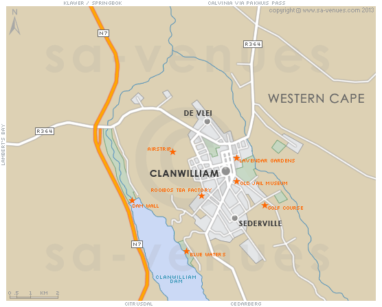
Map of Clanwilliam, Western Cape
Clanwilliam detail and street level map showing landmarks and popular attractions. Clanwilliam is one of the ten oldest towns in South Africa and historical walks through the town centre take in seven national monuments. The annual Wild Flower Show in September is renowned, the Cederberg Wine Cellar is worth a visit and both the Clanwilliam and Bulshoek Dams offer a number of water sports opportunities. To read out more about Clanwilliam please see Clanwilliam Information.
If you are interested in overnighting in the area, we can recommend some great accommodation options including hotels, guest houses and self-catering properties. If you're only planning on driving through Clanwilliam, en-route to another destination, you may want to peruse our Clanwilliam Restaurants before you leave to see if you should plan a stop here for lunch or maybe just a coffee. Also check out Clanwilliam Things To Do to see if there are any activities for which you would consider stopping.
Maps of the Western Cape
Provincial Maps
Street Level Maps
Western Cape Regions
Special Interests by Map
In the vicinity
Hotels & other accommodation options
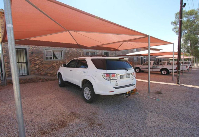
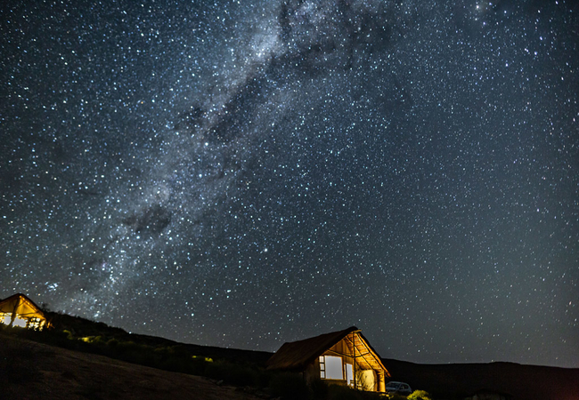
AfriCamps at De Pakhuys
AfriCamps at De Pakhuys is located at the heart of the Rocklands in the northernmost part of the Cederberg Wilderness Area, 26km from Clanwilliam...
Krakadouw House
Krakadouw House at Cederberg Park is a two bedroom self-catering house sleeping four adults and two children. It has a a spacious living area, a ...

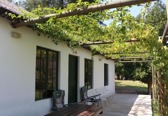
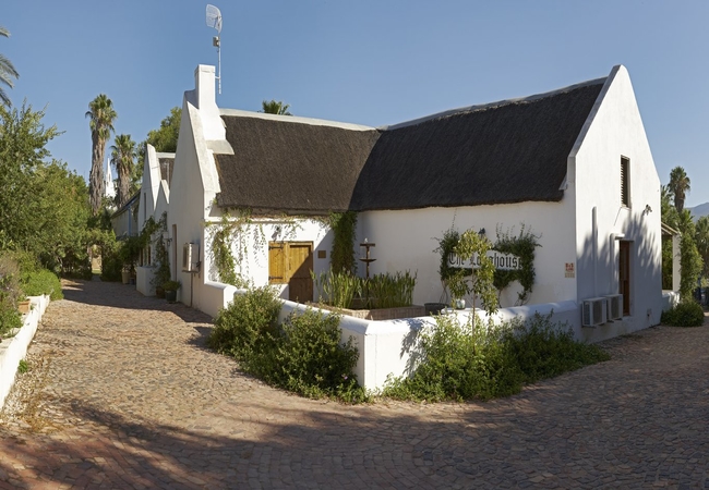
Weavers Cottage
Weavers Cottage is an enchanting getaway in a lovingly restored Cape thatched cottage on Alpha Excelsior Guest farm, in a secluded area of natura...
Cape Sugarbird Cabin
Cape Sugarbird is a spacious self catering eco-cabin offering Citrusdal accommodation. The cabin is perched on the edge of a waterlily pond with ...
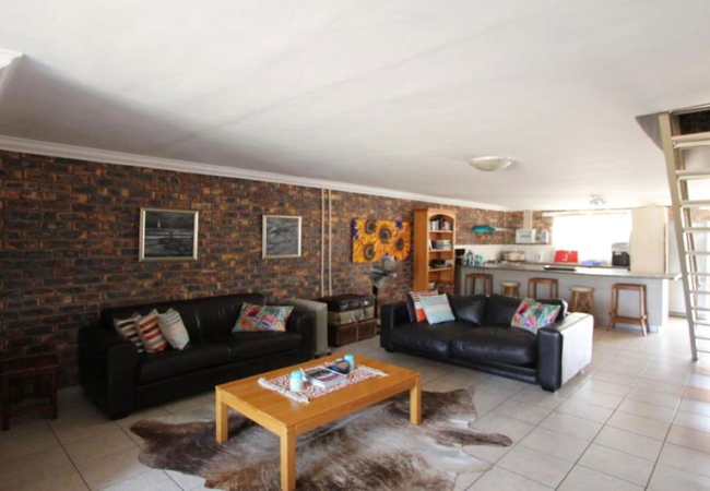
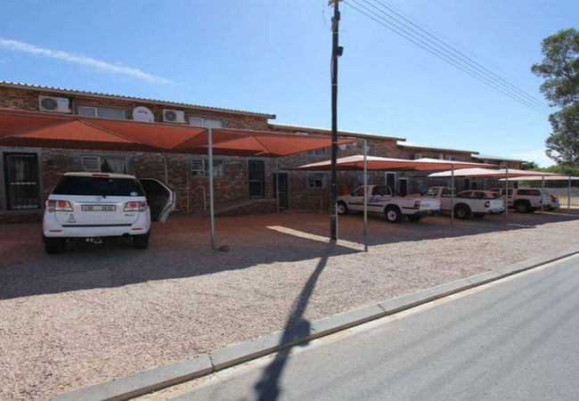
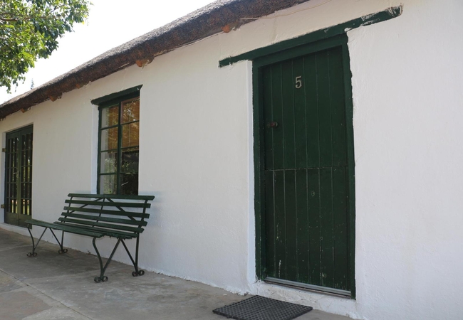
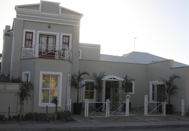
Clanwilliam Accommodation 7
Clanwilliam Accommodation 7 is a Holiday apartment in Clanwilliam that can sleep six guests in two bedrooms. There is a spacious open plan living...
De Pakhuys Glamp and Camp
De Pakhuys Glamp and Camp offers the most centrally located accommodation in Rocklands, South Africa. Nestled in the picturesque Agter-Pakhuis Va...

Kleine School One at De Pakhuys
Nestled in the picturesque Agter-Pakhuis Valley, 26km from Clanwilliam you will find Kleine School 1, located on the De Pakhuys Vleiplaas surroun...
The Pup House
The Pup House is a two bedroom luxury self-catering chalet with is a spacious living area, a fully equipped kitchen, inside and outside braai as ...
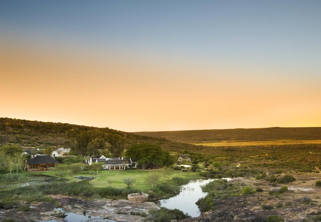
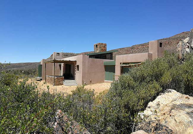
Bushmans Kloof Wilderness Reserve
This Relais & Châteaux lodge is a wilderness sanctuary of timeless beauty, holistic healing, wellness, rich heritage and conservation. Discover a...
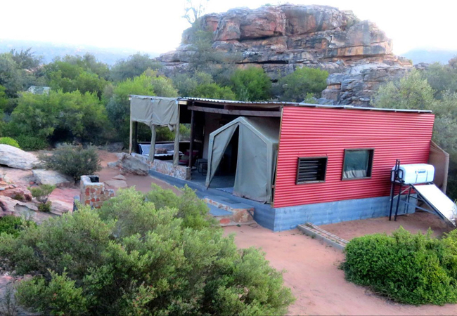
Dassie Den
Dassie Den boasts beautiful views. The carpeted, luxury tent is comprised of three rooms which are furnished with double, single and bunk beds. T...
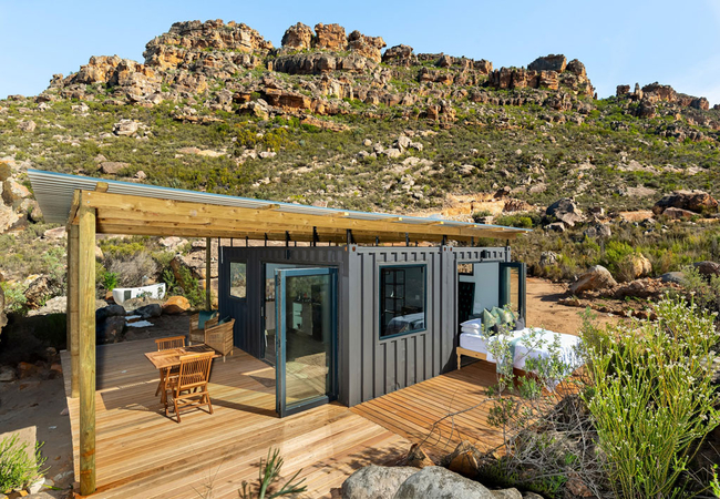
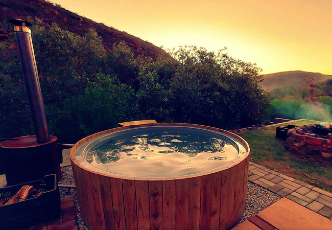
Rocklands Eco Retreat
Rocklands Eco Retreat offers a tranquil, off-the-grid getaway perched on a cliff with stunning picturesque views of the Rocklands. The eco-friend...
Klein Boschkloof Chalets
Klein Boschkloof, a lush green oasis and working farm s situated in the unspoilt Boskloof Valley which borders onto the Cederberg Wilderness area...
Malachite Sunbird Cabin
Malachite Sunbird Cabin offers Cederberg self catering in a one bedroom cabin located in the Cape Leopard Valley in Citrusdal. We are passionate ...
Clanwilliam Accommodation 8
Clanwilliam Accommodation 8 can sleep six guests in two bedrooms. There is a spacious open plan living area made up of a comfortably furnished se...
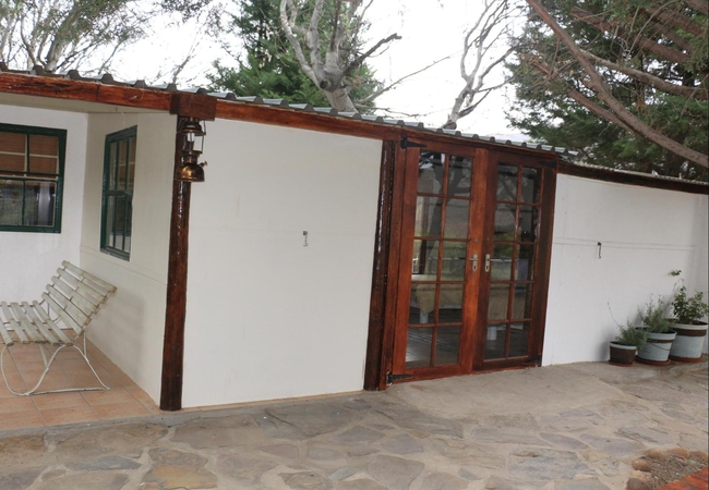
Nenna se Huis
Nenna se Huis is a very charming cottage with a vintage but homely feel. This cottage has one bedroom furnished with a double bed. There are an a...
Lylius Farm Cottage
Lylius cottage is located on the Krieberg Organic Farm, bordering on the Cederberg Wilderness Area. Half-way between Citrusdal and Clanwilliam an...
Yellow Aloe Guesthouse
Yellow Aloe Guest House is an upmarket, country-chic space born out of a love for the countryside and the town of Clanwilliam in particular. The ...
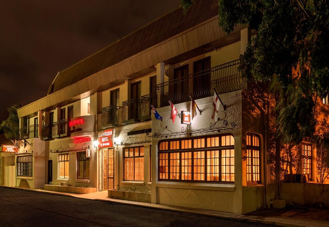
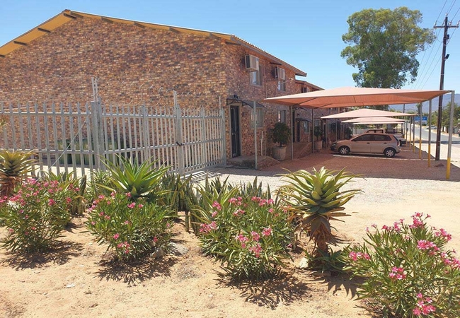
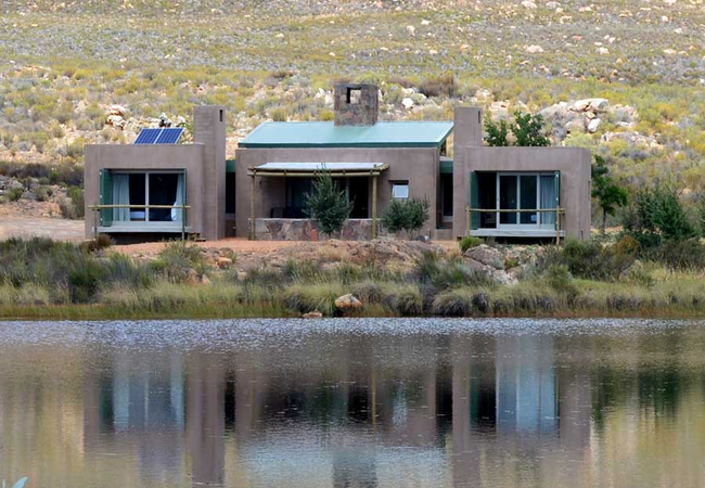
Clanwilliam Hotel
Ensconced in the magical Oliphant's River Valley, Clanwilliam Hotel is situated off the beaten track. Only two hour's drive from Cape Town, the h...
Suikerberg @ Cederberg Park
Suikerberg House is a holiday home located on the Kromrivier Farm approximately 250km north of Cape Town. Surrounded by fynbos and majestic orang...
Apollo At Cederberg Park
Apollo is a getaway on the Kromrivier Farm approximately 250km north of Cape Town. Surrounded by fynbos and majestic orange rock formations, this...

Owen se Huis
Owen Se Huis offers accommodation in Clanwilliam on a farm situated in the Boskloof valley, on a farm set along the river banks, where guests can...

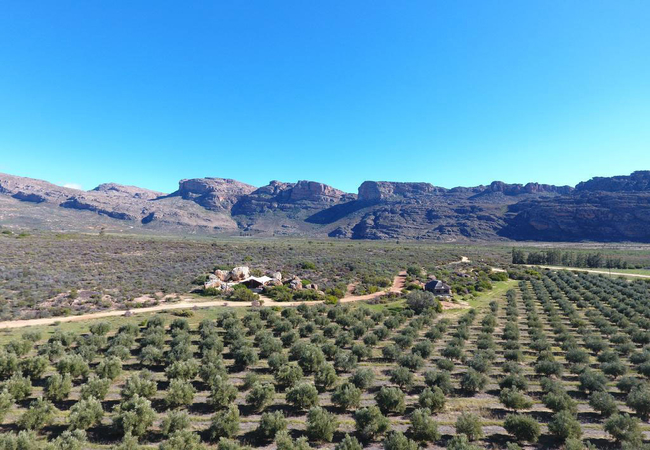
Alpha Excelsior Guest Farm
Alpha Excelsior Guest farm is situated in the heart of the Cederberg Mountains, in a secluded area of natural beauty near Clanwilliam. The area i...

Klipspringer at De Pakhuys
Nestled in the picturesque Agter-Pakhuis Valley, 26km from Clanwilliam on the tarred R364 route to Wuperthal village, you will find Klipspringer,...
Gustav se Huis
Gustav sleeps eight guests in four bedrooms. Two rooms are furnished with a double bed and two rooms are furnished with twin beds. The kitchen is...
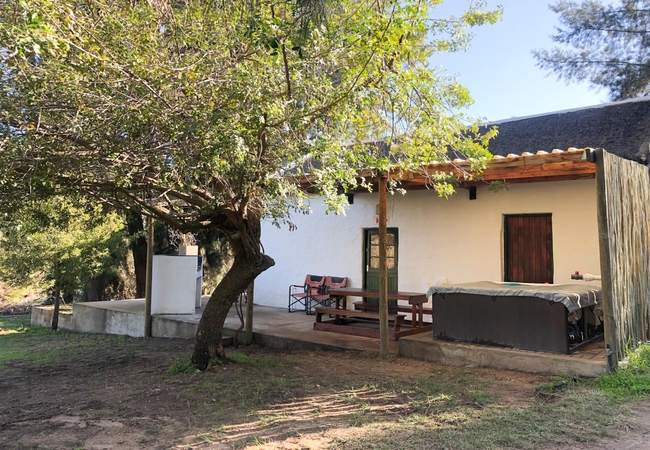
Fivaz se Huis
Fivaz se huis at Boskloof Swemgat is situated in the Boskloof valley, a magnificent unspoiled area. The Jan Dissels River flows through the valle...
Clanwilliam Accommodation Four
Clanwilliam Accommodation 4 can sleep seven guests in two bedrooms. There is a spacious open plan living area made up of a comfortably furnished ...
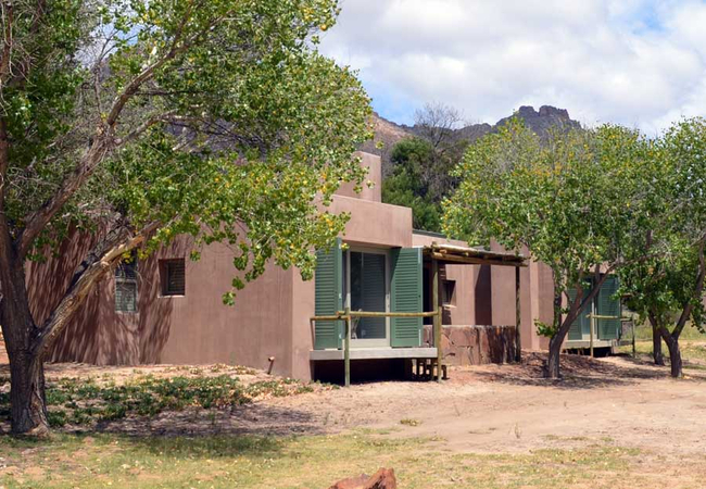
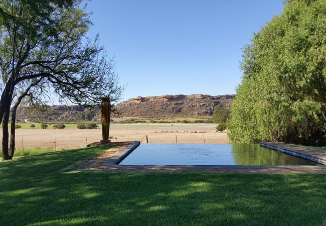
Sneeuberg @ Cederberg Park
Sneeuberg House on the Kromrivier Farm approximately is surrounded by fynbos and majestic orange rock formations. Splash around in the crystal-cl...
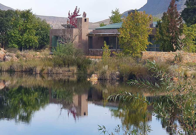
Tafelberg House
Tafelberg House is a holiday home in Cederberg Park, a popular base for hiking, mountaineering and exploring. Splash around in the crystal-clear ...
Clanwilliam Accommodation 5A
Clanwilliam Accommodation 5A, located on the ground floor, can sleep three guests. The bedroom is furnished with a double bed and there is an ext...
Enjo Nature Farm
You will find Enjo Nature Farm far from the main tourist tracks in the wild and unspoiled Biedouw Valley of the Cederberg Mountains. The Valley i...
Kleinfontein
Kleinfontein offers a warm farm-like ambiance and basic self catering in two quaint units in the Clanwilliam area just after the Pakhuis Pass. Kl...
Lebanon Citrus Resort
A quiet and peaceful small private resort consisting of a self catering cottage and 3 self catering rondawels all situated on the water's edge. ...
Langhuis at Boskloof
Langhuis is situated in the Boskloof valley, bordering on the Cederberg Wilderness Area. It offers privacy with your own rock pool and sleeps fou...
Murraysberg House
Murraysberg House is a two bedroom self-catering home with a spacious living area, a fully equipped kitchen, inside and outside braai as well as ...
Clanwilliam Accommodation One
This Holiday Apartment can sleep six guests in two bedrooms. There is a spacious open plan living area made up of a comfortably furnished seating...
De Pakhuys
Nestled in the picturesque Agter-Pakhuis Valley, 26 km from Clanwilliam, you will find De Pakhuys Guest Farm, offering a choice of four self-cate...
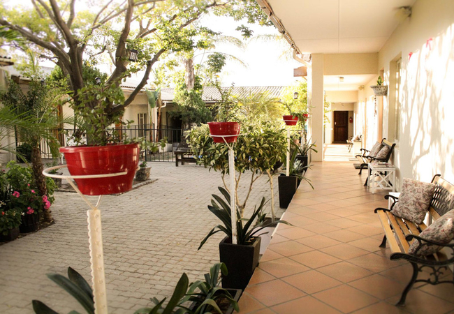
The Longhouse Guesthouse
The charming Longhouse Guesthouse is the ideal place from where to explore the village of Clanwilliam, the rugged beauty of the Cederberg or the ...
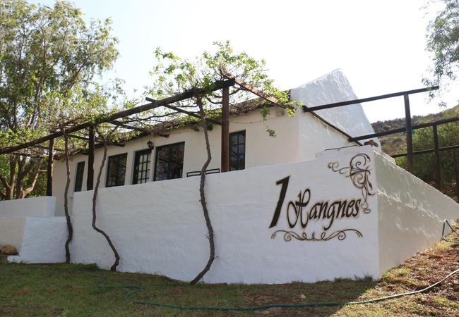
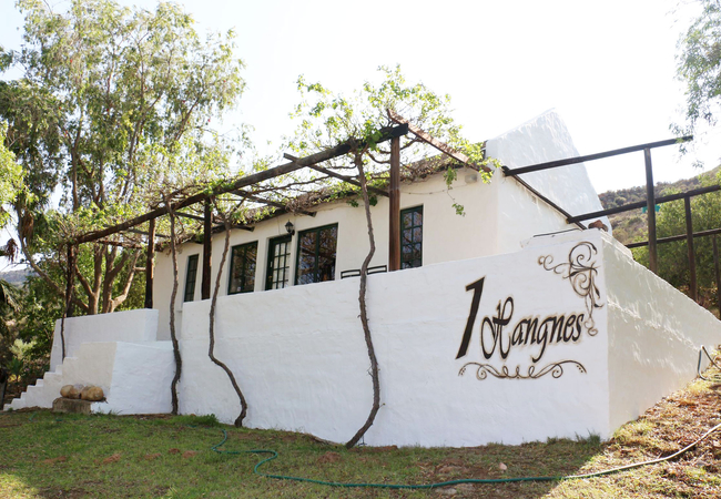
Hangnes Cottage
Hangnes Cottage sleeps six guests in two bedrooms. The cottage has a fully equipped kitchen and a comfortable lounge with a fireplace. Outside th...
Kliphuis at Boskloof
Kliphuis is a renovated cottage with a thatch roof and a very private and romantic option. It is situated on the river bank with a private swimho...
Winterbach House
Winterbach House is a two bedroom luxury self-catering chalet with is a spacious living area, a fully equipped kitchen, inside and outside braai ...

Alpha Excelsior Retro Caravans
Situated in Clanwilliam, Alpha Excelsior Campsite offers comfortable accommodation for up to 16 guests in total. Guests are able to swim in the d...
Haus Muller
Haus Muller is situated in the historical Main Street of Clanwilliam and is within walking distance of many restaurants and shops. Treat yourself...
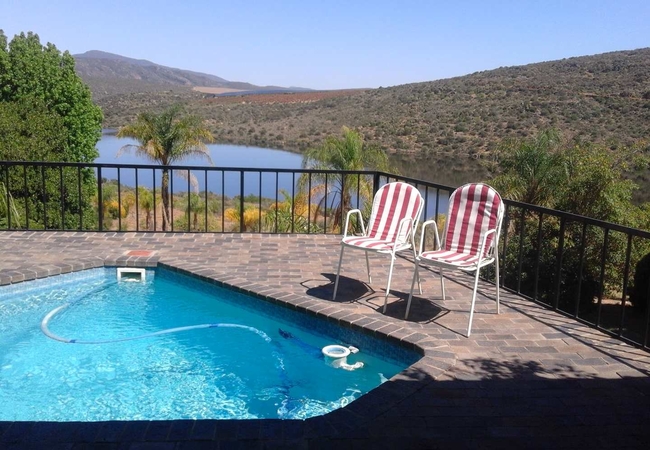
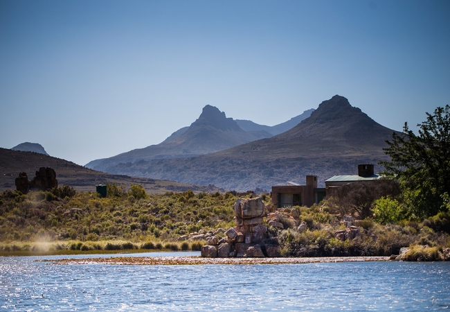
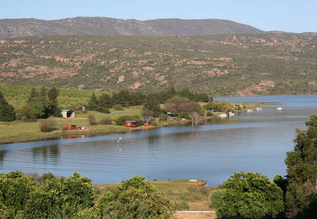
Rondegat on Clanwilliam Dam
Relax in comfortable self catering cottages overlooking the scenic Clanwilliam Dam and majestic Cederberg. The comfy accommodation ranges from tw...
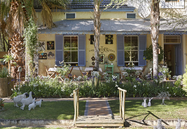
Blommenberg Guest House
Blommenberg Guest House in Clanwilliam, offers guests comfortable accommodation in a small, attractive and peaceful town, surrounded by vineyards...
Boskloof Swemgat
The farm Boskloof Swemgat is situated in the Boskloof valley, a magnificent unspoiled area, bordering on the Cederberg Wilderness Area. The accom...

Alpha Excelsior Riverside
Riverside Cottage is a beautifully designed stone clad and wooden panelled cottage nestled in the trees on the Alpha Excelsior Guest farm in the ...

Kleine School Two at De Pakhuys
Kleine School Two is a family chalet with two bedrooms and one bathroom. The bedrooms are furnished with twin beds. There is also a single sofa b...
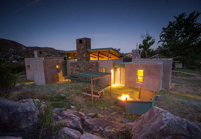
Breekkrans House
Surrounded by fynbos and majestic orange rock formations, Cederberg Park is considered a popular base for hiking, mountaineering and exploring. S...
Verreaux's Eagle
Verreaux's Eagle is a cosy self-catering eco-cabin offering Citrusdal accommodation perched on the side of the mountain, with sweeping views down...

Alpha Excelsior Homestead
The Homestead is a large, airy Cape-Dutch style Farmhouse with high timber ceilings and a cool interior overlooking our Cabernet Sauvignon vineya...

Donkerkloofkop House
Donkerkloofkop House is a two bedroom self-catering house with is a spacious living area, a fully equipped kitchen, inside and outside braai as w...

Alpha Excelsior Farm House
The Old Farm House is over 100 years old and full of character and charm. It is located on the Alpha Excelsior Guest farm in the heart of the Ced...

Clanwilliam Lodge
Only two and a half hour's drive from Cape Town, Clanwilliam Lodge offers air-conditioned rooms of different styles - from standard rooms to a pr...
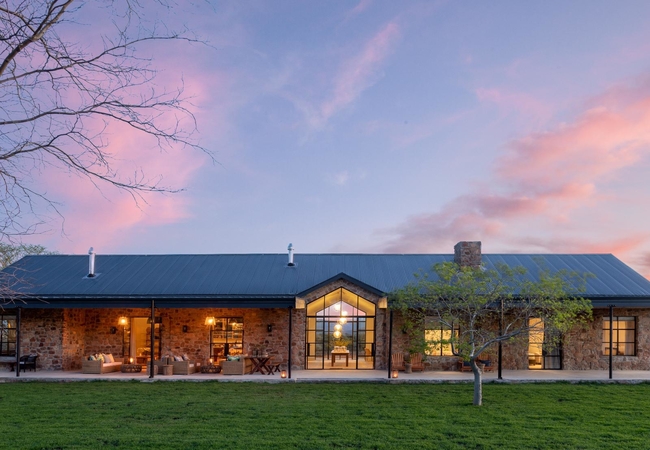
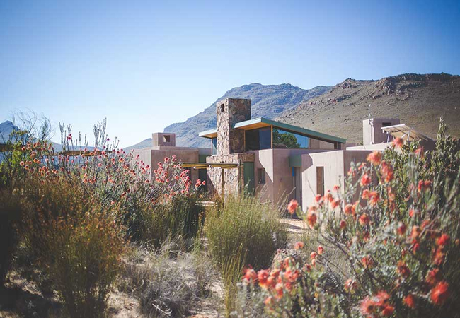
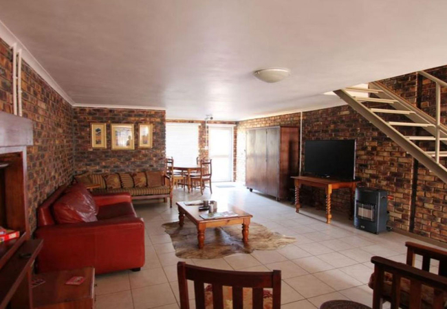
Cederberg Ridge Wilderness Lodge
Cederberg Ridge Wilderness Lodge offers accommodation with an authentic ambience of a modern African farmhouse. The warm and inviting interiors, ...

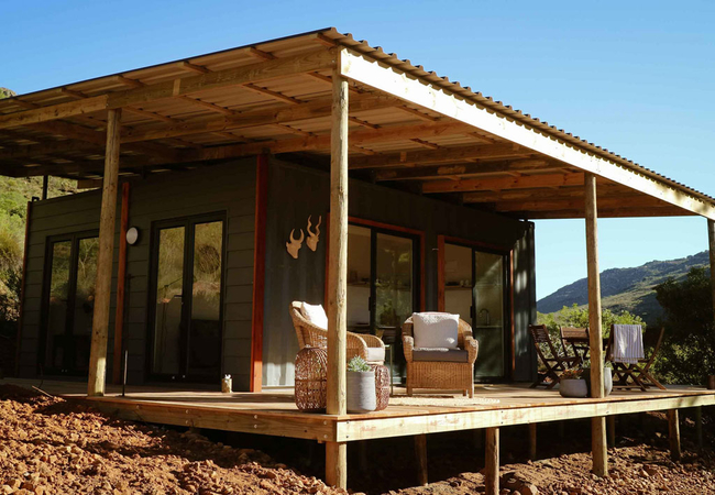
Tortoise Terrace
If you are looking for a quiet bush break without the hassle of having to lug your camping gear with you, then The Storytellers glamping experien...
Things to do in the area - see all in Cederberg
Freshwater Fishing
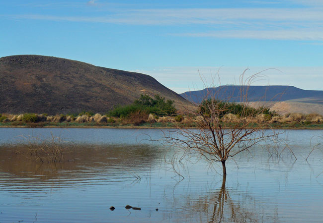
Freshwater angling in the Olifants River is one of the many reasons why Clanwilliam has gained such popularity over the years as a holiday destin...
The Khoisan Kitchen
The Khoisan Kitchen is situated on the banks of the Brandewyn River, and is based on the Rock Art Trail through the Cederberg. Specialising in tr...
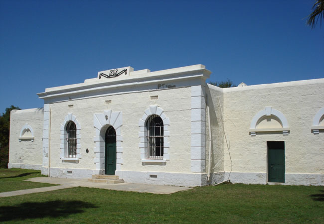
Clanwilliam Museum
Step into Clanwillliam's old jail, built in 1808 and discover more about the history of the area including the inhabitants of the San and the Roo...
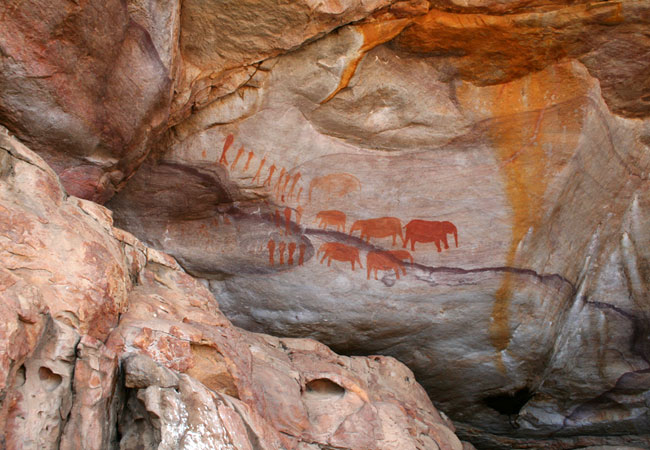
Admire Rock Art in the Cederberg
Plan a day trip from Cape Town and walk the Sevilla Rock Art Trail in the Cederberg. You can expect to see ten rock art sites along this four ki...
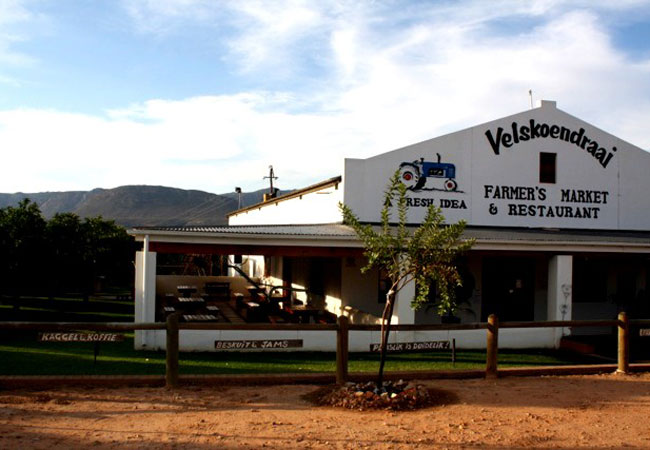
Velskoendraai Farmer's Market & Restaurant
Located at the entrance to Clanwilliam in the Cederberg on a citrus farm, Velskoendraai is recommended to all visitors as a must-visit. Famous fo...
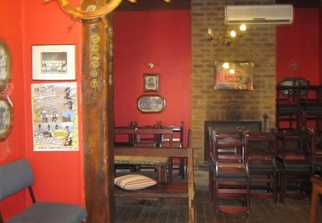
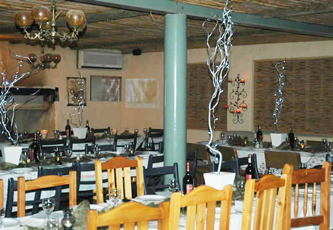
Olifantshuis Restaurant
A family restaurant, run by head chef Jaco Slabbert, Olifantshuis is located in an old manor house, dripping with country character and boere cha...
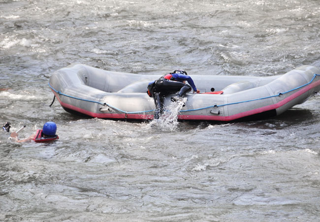
Doring River White Water Rafting
Doring River offers white water rafting adventures from mid-June to September, on the river that winds through the Cederberg. Arrive the night be...
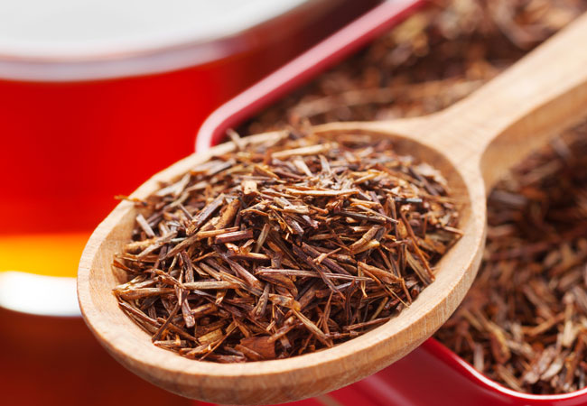
Rooibos Factory
The Rooibos factory is based in the small town of Clanwilliam, and originally started as a cottage industry. It has grown over the years, ...

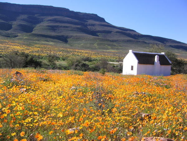
Cape Flower Route
Citrusdal is not only famous for citrus production and natural hot water springs, it also falls onto the Cape Flower Route - a journey through th...
Noteworthy attractions - see all in Cederberg
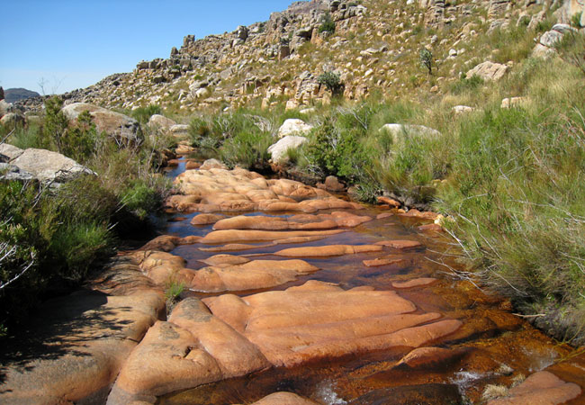
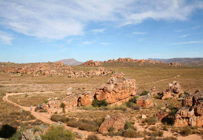
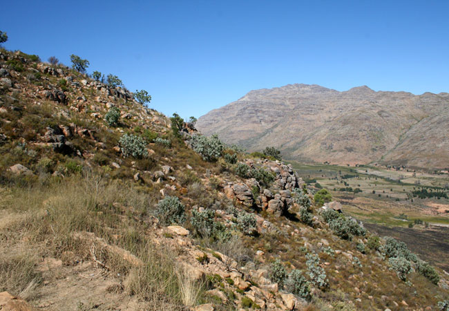
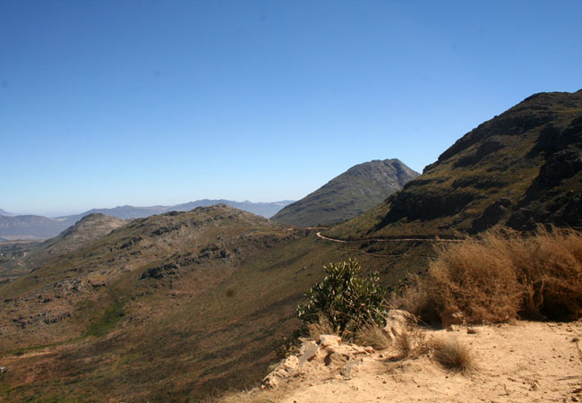
Cederberg Wilderness Area
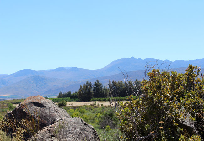
The Cederberg Wilderness Area lies some 200 km north of Cape Town. This vast area stretches from the Middelberg Pass at Citrusdal to north of the...
Beaverlac Nature Reserve
This little talked about gem lies just 25 kilometres outside of Porterville, roughly 2 hours from Cape Town, in the Olifants River Mountains in t...
Bushmanskloof Wilderness
Bushmanskloof Wilderness, lying in the northern Cederberg wilderness roughly 270 kilometres from Cape Town, is a South African Natural Heritage S...
Matjiesrivier Nature Reserve
The beautiful Matjiesrivier Nature Reserve lies on the eastern edge of the Cederberg Mountains, managed as part of the greater Cederberg conserva...
Pakhuis Conservancy
Set on the northern edge of the Cederberg Wilderness area, roughly 300 kilometres from Cape Town and close to the town of Clanwilliam, the Pakhui...
Middle Keurbooms Conservancy
On the beautiful Prince Alfred Pass lies the Middle Keurbooms Conservancy, or MKC for short. More than 30 000 hectares have been designated by la...
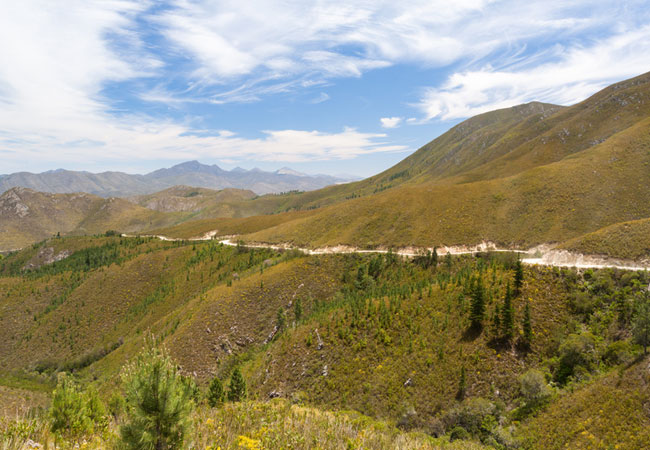
Katbakkies Pass
Katbakkies Pass has what is commonly known as a descriptive name. Others in the area include Houdenbek and Skitterykloof - although Skitterykloof...
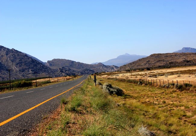
Nieuwoudt Pass
The Nieuwoudt Pass is a dirt road that occurs roughly halfway between Citrusdal and Clanwilliam, off the N7. It is actually an alternative route ...
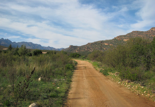
Pakhuis Pass
The drive from Clanwilliam to Wuppertal in the Cederberg, the incredible wild and mountainous region that attracts hikers and lies roughly three ...
Find accommodation in Clanwilliam
FIND / South Africa Accommodation / Western Cape Accommodation / Cape Town Accommodation / Olifants River Valley Accommodation / Cederberg Accommodation / Clanwilliam Accommodation
Clanwilliam as a destination
Why book with SA-Venues.com
- Your card is safe with us; strictest card verification in the industry and we don't store card numbers.
- No airy fairy service fees; you save!
- We care. Service with integrity.
- Multiple payment methods:
credit card, SID instant EFT, bank transfer. - All Clanwilliam property owners / managers are verified (our experience protects you from online fraud).
- Secure your booking
Maps
Destination Clanwilliam
- By type in Clanwilliam
- Clanwilliam Accommodation
- Clanwilliam Hotels
- Game Lodges
- Clanwilliam Guest Houses
- Clanwilliam Bed & Breakfast
- Clanwilliam Self Catering
- & Holiday Apartments & Suites
- & Holiday Cottages & Chalets
- & Holiday Homes & Villas
- Clanwilliam Conferences
- Clanwilliam Honeymoons
- Destinations near Clanwilliam
- Biedouw Valley, Citrusdal, Porterville, Wuppertal
- Resources for tourists
- About Clanwilliam
- Things To Do
- Attractions
- Reviews