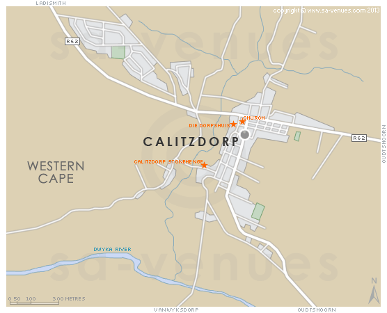
Map of Calitzdorp, Western Cape
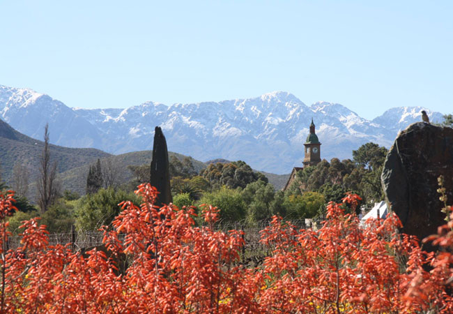
Calitzdorp detail and street level map showing popular landmarks and attractions in Calitzdorp. The typical little Karoo town of Calitzdorp lies on Route 62, about four hours drive from about two and a half hours from Cape Town and roughly half way to Port Elizabeth. Calitzdorp is renowned in its own right for a number of reasons, not least of which is its bona fide Klein Karoo character. To find out more please see Calitzdorp Attractions.
If you are interested in overnighting in the area, we can recommend some great accommodation options including hotels, guest houses and self-catering properties. If you're only planning on driving through Calitzdorp, en-route to another destination, you may want to peruse our Calitzdorp Restaurants before you leave to see if you should plan a stop here for lunch or maybe just a coffee. Also check out Calitzdorp Things To Do to see if there are any activities for which you would consider stopping.
Maps of the Western Cape
Provincial Maps
Street Level Maps
Western Cape Regions
Special Interests by Map
In the vicinity
Hotels & other accommodation options
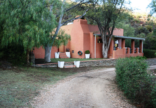
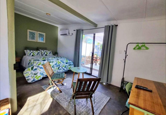
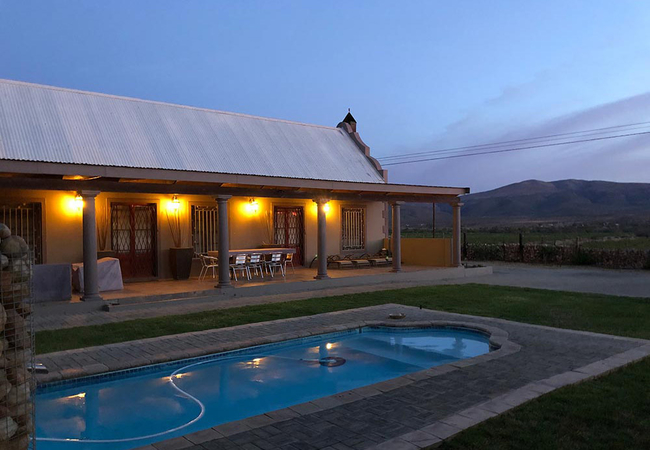
Matjiesvlei Retreat 1945
Matjiesvlei Retreat 1945 offers self catering accommodation on a farm in Calitzdorp. The house sleeps six guests in three bedrooms. There is a ba...
Matjiesvlei Cottages
Matjiesvlei Cottages offers self catering accommodation in three lovely cottages in Calitzdorp. Each cottage has kitchen facilities, a furnished ...
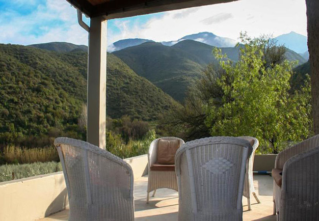
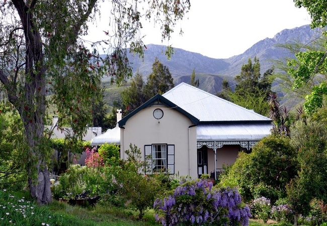
Groenfontein Guest Farm
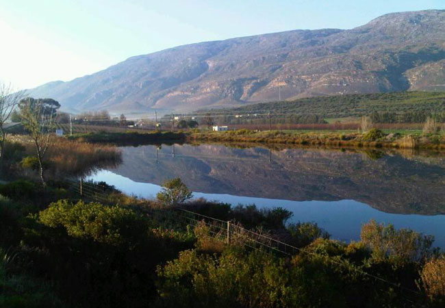
18 km north-west of Calitzdorp (Route 62) in the foothills of the majestic Swartberge, lies the evergreen Groenfontein valley. On the banks of th...

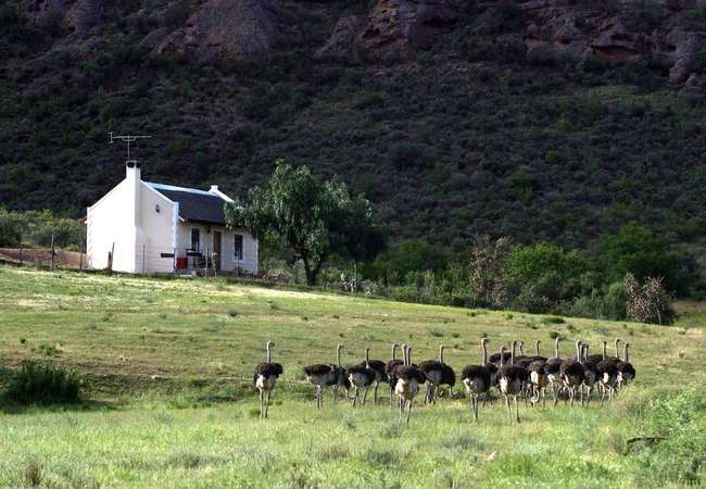
Rietfontein Ostrich Palace
Situated on the oldest working Ostrich farm in the Karoo, Rietfontein Ostrich Palace offers accommodation beautifully restored cottages, tasteful...
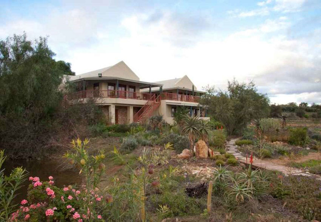
Tula Retreat
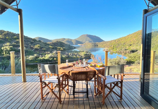
Tula Retreat is located on the water's edge of the Calitzdorp dam in the Western Cape and offers luxury tent accommodation ideal for a couple or ...
Matjiesvlei Guest Farm
Come and enjoy the serene and tranquil beauty of this valley, situated at the foothills of the Swartberg Mountains between Calitzdorp and Ladismi...
Red Stone Hills
Red Stone Hills farm is situated between Oudtshoorn and Calitzdorp, 6km on the Kruisrivier turn off, near the foot of the Swartberg Mountain. All...
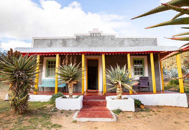
The Queen of Calitzdorp
This over a century old establishment is situated in the centre of Calitzdorp town, within walking distance of Boplaas, De Krans and Calitzdorp C...
Karoo Nest
Karoo Nest offers charming self-catering accommodation in Calitzdorp, a small town in the Karoo. The guest house is close to award-winning wineri...

Matjiesvlei Retreat Katrien
Matjiesvlei Retreat Katrien in Calitzdorp is located on a farm and offers fabulous mountain views. The house sleeps six guests in three bedrooms....
Matjiesvlei Retreat Swartskaap
Matjiesvlei Retreat Swartskaap or Blacksheep is a self catering holiday home found on a peaceful farm in Calitzdorp. The house has three bedrooms...
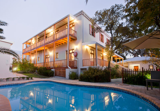
Calitzdorp Country House
Overlooking the little town of Calitzdorp on Route 62, Calitzdorp Country House offers spectacular views across vineyards and orchards to the maj...
Karoo Life Bed & Breakfast
Karoo Life Bed & Breakfast is found in the quaint town of Calitzdorp on the popular Route 62. While here you can take a dip in the swimming pool,...
Celebratio
Celebratio is situated on a pomegranate farm halfway between Calitzdorp and Oudtshoorn on the R328 and is perfect for day excursions to the wine ...
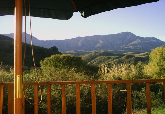
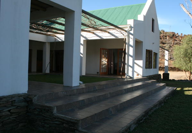
The Retreat At Groenfontein
This Victorian farmhouse offers Klein-Karoo hospitality in 4 rooms on a dinner, bed & breakfast basis. Set in the secluded Groenfontein Valley an...
Things to do in the area - see all in Karoo
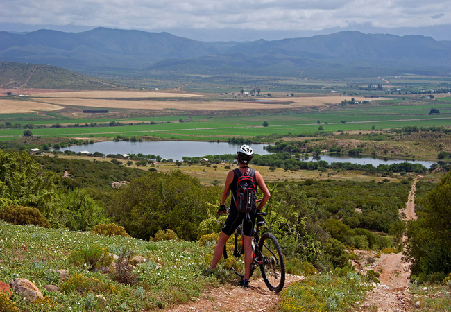
e-Rides @ Klein Karoo
e-Rides is all about being outdoors in nature and exploring unforgettable South African scenery on one of our premium electric mountain bikes. Lo...
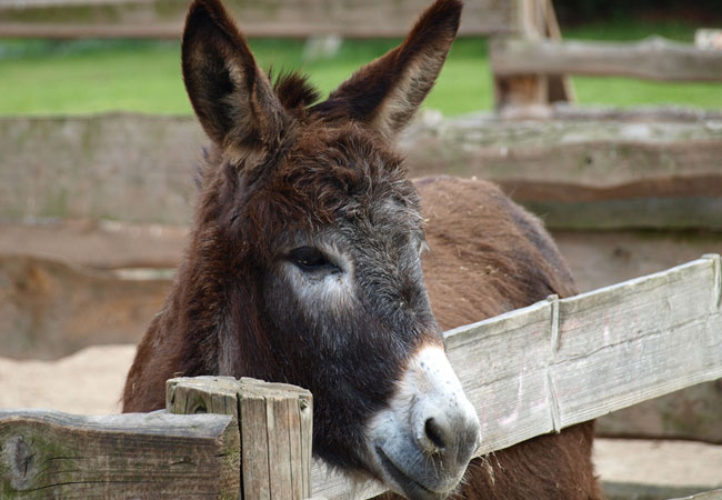
The Donkey Trail
Take part in a great walking tour with donkeys for companions! The trail takes four days and three nights, and you can be guaranteed of a great ...
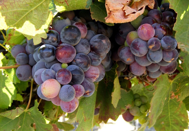
Boplaas Family Vineyards
Boplaas is situated in Calitzdorp, a small picturesque village in the Southern Cape province in the majestic Little Karoo. The Nel family is part...
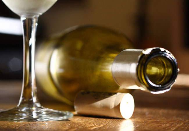
Calitzdorp Wine Cellar
The Calitzdorp Wine Cellar is found on the ever popular Route 62 in the small town of Calitzdorp. Here you'll taste award winning wine from a cel...
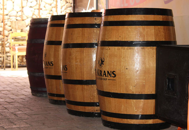
De Krans Wine Cellar
The De Krans Wine Cellar is one of the favourites in the area not only because of their fabulous wine but also it is a popular destination from l...
Withoek Wine Farm
The Withoek Wine Farm consists of 50 hectares of land and just over half of that (27 hectares) is vineyards. The vines are mainly Hanepoort and S...
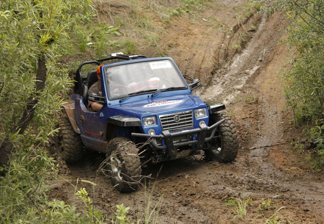
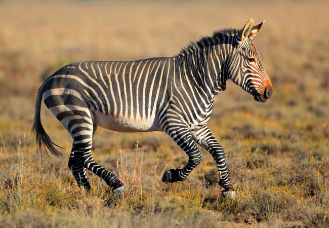
Gamkaberg Zebra Crossing
Gamkaberg Zebra Crossing consists of various 4x4 trails ranging from 16 km to 36 km, stretching over the Gamkaberg Mountain Range, leading over s...
Peter Bayly Wines
Situated in the picturesque Groenfontein Valley of the Klein Karoos famed wine-making town, Calitzdorp lays an undiscovered vinous gem. Peter ...
Noteworthy attractions - see all in Karoo
Anysberg Nature Reserve
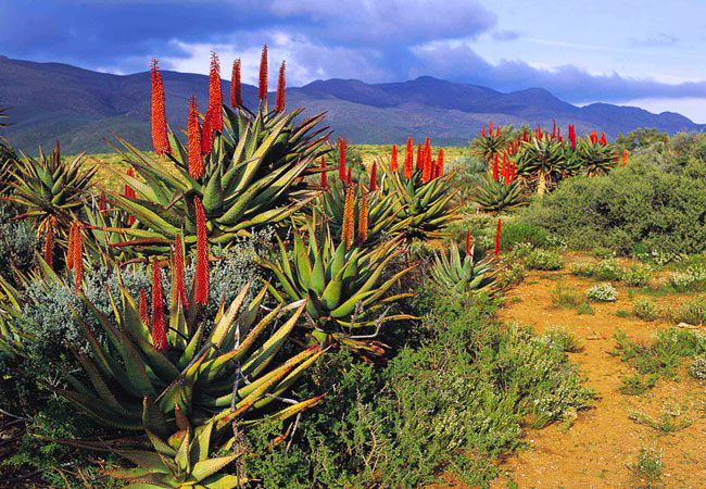
In the heart of the Cape Fold Mountains, the natural abundance of the Anysberg Nature Reserve is situated in the Little Karoo of the Western Cape...
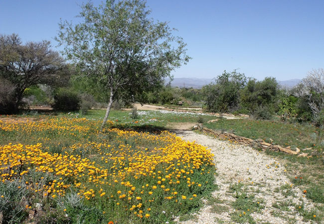
Karoo Desert National Botanical Garden
In Roux Road on the outskirts of Worcester, some 120 kilometres from Cape Town, lies a unique gem of a garden - the only truly succulent garden i...
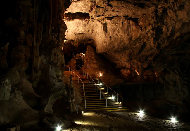
Cango Caves
Almost 30 kilometres outside of Outshoorn in the Klein Karoo, and certainly one of the main reasons for placing this little town on your itinerar...
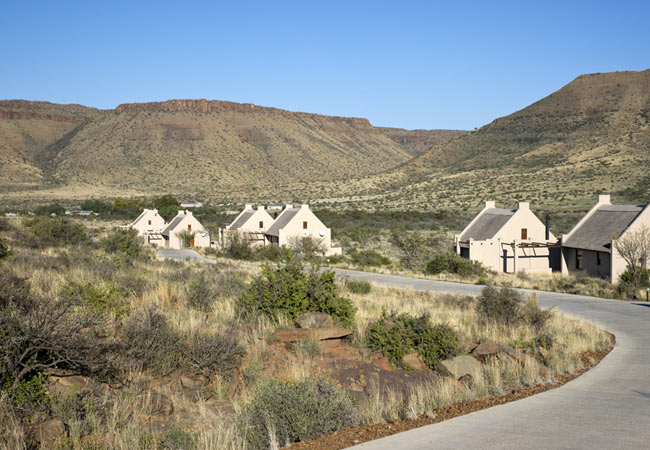
Karoo National Park
The Karoo National Park is situated close to the N1 highway between Cape Town and the hinterland, approximately 1000 km south of Johannesburg and...
Gamkaberg Nature Reserve
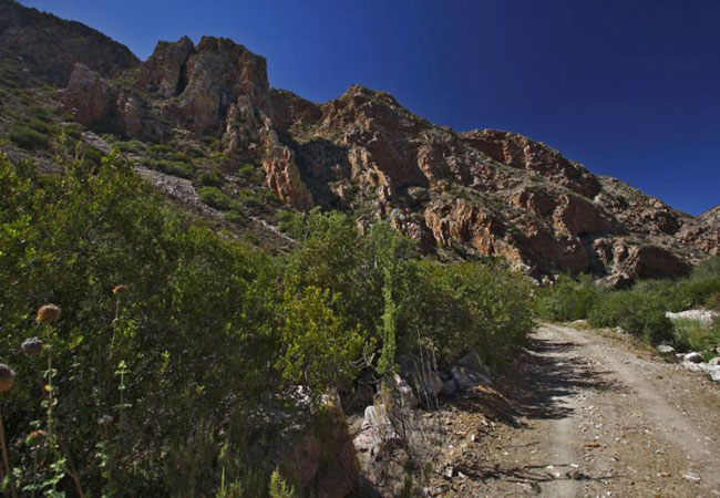
Lying in the Little Karoo is the remote Gamka mountain range, isolated because of the conduit of the Gouritz River that slices between the Gamkab...
Kammanassie Nature Reserve
Lying in the Little Karoo between the Swartberg and Outeniqua Mountains, lies an inselberg or monadnock - an isolated hill or small mountain that...
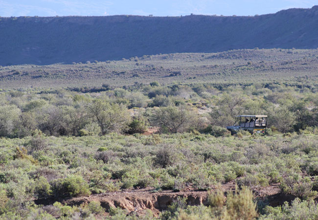
Sanbona Wildlife Reserve
At the foot of the Warmwaterberg, in the heart of the Little Karoo, between Montagu and Barrydale on the famous Route 62, the vision of the San i...
Swartberg Nature Reserve
The Swartberg Nature Reserve lies in the Oudtshoorn district between the Great Karoo and Little Karoo, bordered by the Gamka River in the west an...
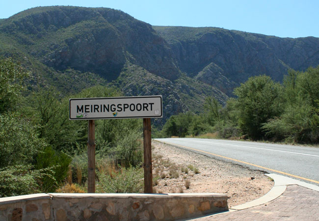
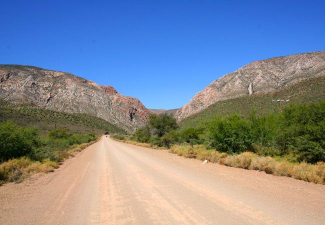
Meiringspoort
The towering sandstone cliff walls and breathtaking rock formations of Meiringspoort lie on the N12 between Beaufort West and Oudtshoorn. The poo...
Find accommodation in Calitzdorp
FIND / South Africa Accommodation / Western Cape Accommodation / Cape Town Accommodation / Karoo Accommodation / Calitzdorp Accommodation
Calitzdorp as a destination
Why book with SA-Venues.com
- Your card is safe with us; strictest card verification in the industry and we don't store card numbers.
- No airy fairy service fees; you save!
- We care. Service with integrity.
- Multiple payment methods:
credit card, SID instant EFT, bank transfer. - All Calitzdorp property owners / managers are verified (our experience protects you from online fraud).
- Secure your booking
Maps
Destination Calitzdorp
- By type in Calitzdorp
- Calitzdorp Accommodation
- Calitzdorp Hotels
- Calitzdorp Guest Houses
- Calitzdorp Bed & Breakfast
- Calitzdorp Self Catering
- & Holiday Apartments & Suites
- & Holiday Cottages & Chalets
- & Holiday Homes & Villas
- Calitzdorp Honeymoons
- Destinations near Calitzdorp
- Barrydale, Beaufort West, De Doorns, De Rust, De Vlugt, Herold, Klaarstroom, Ladismith, Laingsburg, Matjiesfontein, Murraysburg, Oudtshoorn, Prince Albert, Sanbona, Touws River, Uniondale, Van Wyksdorp
- Resources for tourists
- About Calitzdorp
- Things To Do
- Attractions
- Reviews