Relief Map of the North West Province
A 2-dimensional representation of the terrain in the North West Province, using shadows to show changes of altitude. The different regions of the province are indicated, as well as major towns / cities in each and the national roads.
Maps of the North West Province
Provincial Maps
Street Level Maps
North West Province Regions
Special Interests by Map
In the vicinity
Hotels & other accommodation options
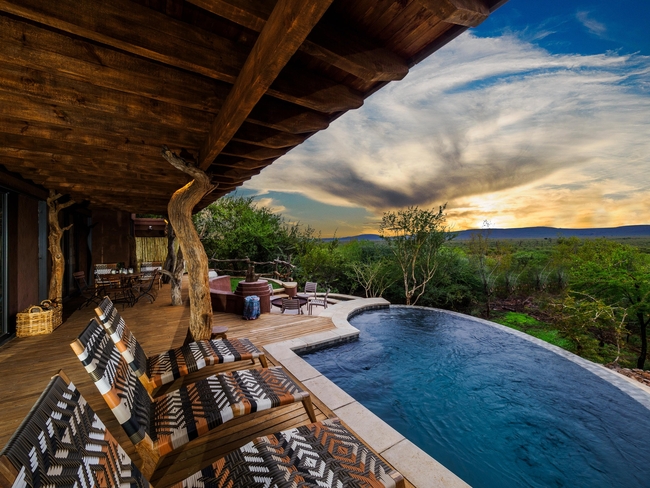
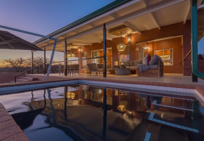
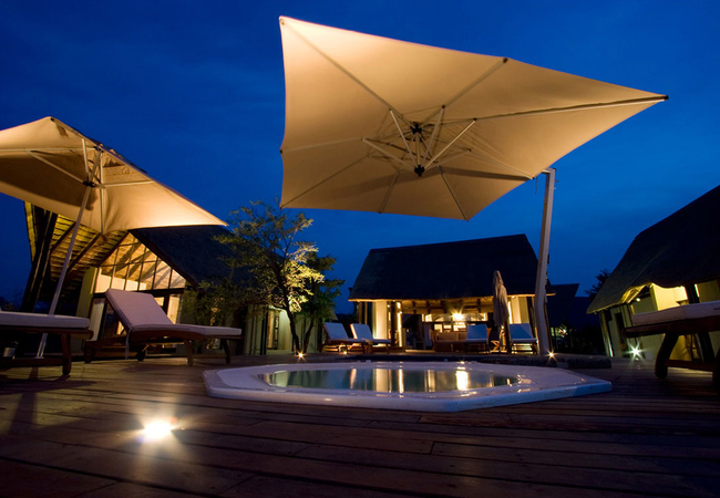
Elela Villa
Elela Villa epitomizes modern safari luxury. Designed to accommodate up to six guests, this spacious 200-square-meter retreat captures the essenc...
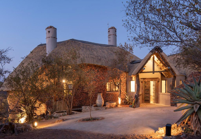
Royal Madikwe Luxury Safari Lodge
The Royal Madikwe offers nothing short of luxurious accommodation, sincere hospitality and spectacular wildlife encounters. Royal Madikwe Luxury ...
Etali Safari Lodge
Out of the heart of the spectacular Madikwe Game Reserve, embraced by pristine bushveld nurtured by Mother Africa's rich red soil, Etali Safari L...
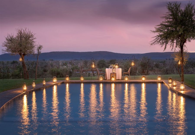
Madikwe Safari Lodge
The rich red timbres of the African earth are reflected in the warm tones of Madikwe Safari Lodge. Cradled between rolling hills, overlooking gam...
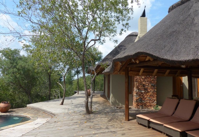
The Last Word Madikwe
The Bush House is not your typical game lodge. The Lodge is set in the malaria free Madikwe Game Reserve. It is an old farmhouse that after years...
Rockfig Lodge Madikwe
Rockfig Lodge offers accommodation in the malaria free Madikwe Game Reserve. The reserve offers some of the finest game viewing opportunities in ...
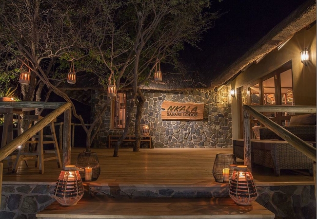
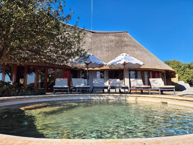
Nkala Safari Lodge
Situated in the Pilanesberg National Park, Nkala Safari Lodge is an exclusive use lodge. The lodge is ideal for those who would like to explore t...
Buffalo Thorn Lodge
Buffalo Thorn Lodge is nestled in the heart of Black Rhino Game Reserve, within the Pilanesberg National Park in a malaria free area. Buffalo Tho...
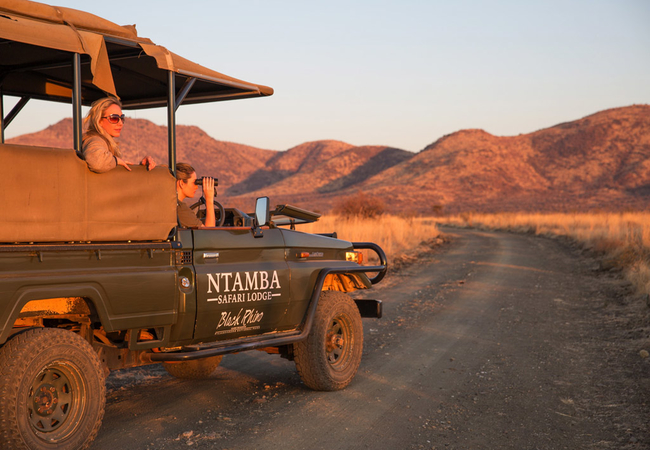
Ntamba Safari Lodge
Family owned, Ntamba Safari Lodge is the perfect escape to relax in the African bush. We are a short 35 minute drive from Sun City or 2 hr drive ...
Noteworthy attractions
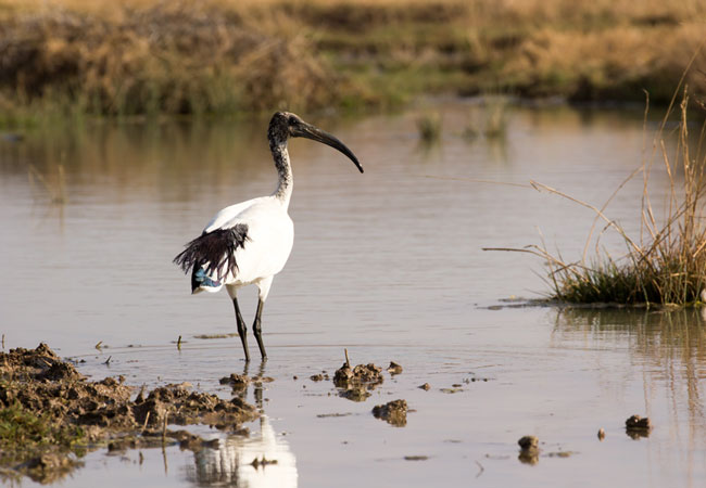
Barberspan Bird Sanctuary
Regarded as one of the largest waterfowl sanctuaries in Southern Africa, Barberspan Bird Sanctuary is a huge 2000 hectare body of water that is R...
Bloemhof Dam Nature Reserve
Bloemhof Dam Nature Reserve lies on the North West province side of the Bloemhof Dam, on the dam's northern shores. Regarded as one of the larges...
Borakalalo National Park
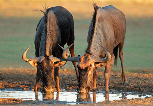
An abundance of wildlife and prolific birdlife (more than 350 bird species) can be viewed in the Borakalalo National Park and the park is also a ...
Boskop Dam Nature Reserve
The Boskop Dam Nature Reserve is 3000 hectares of rolling grasslands that offer visitors sightings of black wildebeest, springbok, red hartebeest...
Botsalano Game Reserve
Botsalano Game Reserve lies just north of Mafikeng close to the Botswana border. It is also the site of one of the oldest volcanic craters in the...
Kgaswane Mountain Reserve
Perfect for weekend hiking because of the easy access from both Johannesburg and Pretoria, Kgaswane Mountain Reserve is littered with beautiful r...
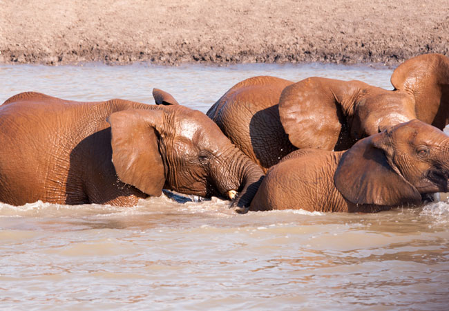
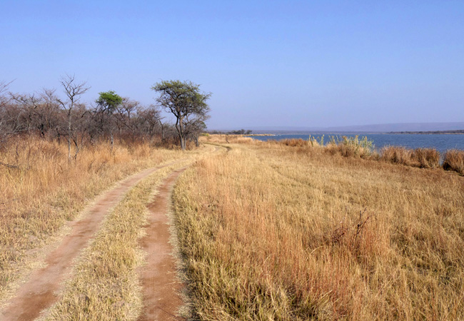
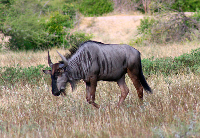
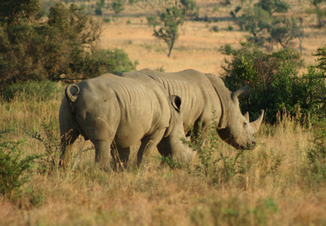
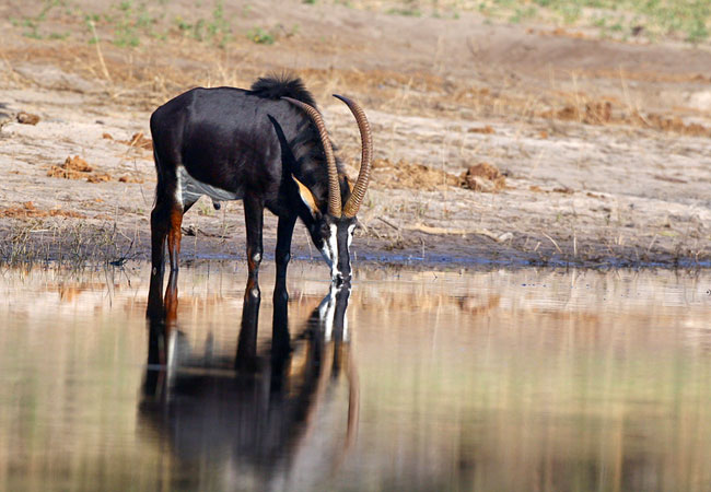
Madikwe Game Reserve
Madikwe Game Reserve is about 70 000 hectares of bushland, about 3 hours' drive from Johannesburg. It is one of South Africa's largest and most p...
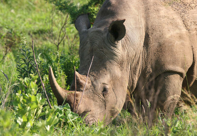
Mafikeng Game Reserve
The Mafikeng Game Reserve is 4 600 hectares of open Kalahari grassland and acacia thorn scrub - a typical African landscape of sour mixed bushvel...
Molopo Game Reserve
Molopo Game Reserve is a 24 000 hectare game reserve set right up against the Botswana border in the far western corner of the North West provinc...
North West Province as a destination
Why book with SA-Venues.com
- Your card is safe with us; strictest card verification in the industry and we don't store card numbers.
- No airy fairy service fees; you save!
- We care. Service with integrity.
- Multiple payment methods:
credit card, SID instant EFT, bank transfer. - All North West Province property owners / managers are verified (our experience protects you from online fraud).
- Secure your booking
 Hartbeespoort Dam
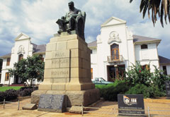 Rustenburg
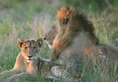 Pilanesberg
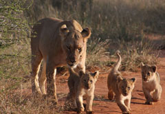 Madikwe
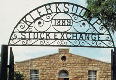 Klerksdorp
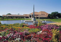 Potchefstroom
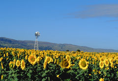 Brits
Brits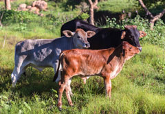 Vryburg
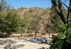 Swartruggens
 Maanhaarrand
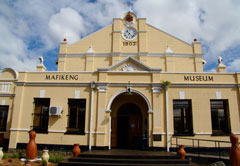 Mafikeng