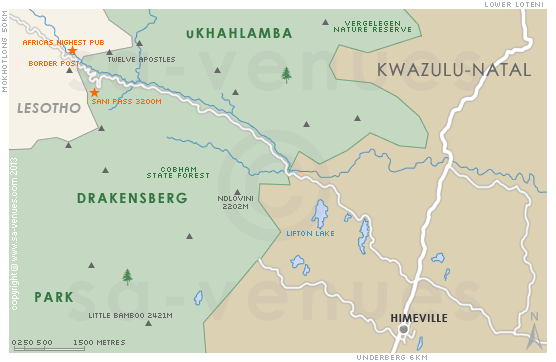
Map of Sani Pass, KwaZulu Natal
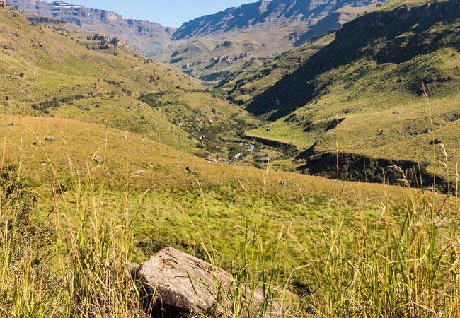
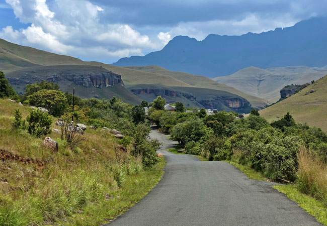
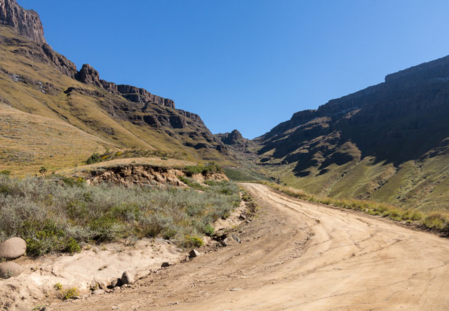
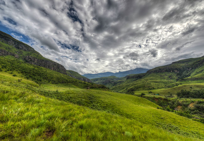
Sani Pass detail and street level map showing attractions and landmarks of the Sani Pass Area. The tight zig-zagging curves of Sani Pass, one of the most magnificent mountain passes in South Africa, ascend through the sheer cliffs of the Drakensberg, linking KwaZulu Natal to the independent country of Lesotho. For more info visit Sani Pass Attractions.
If you are interested in overnighting in the area, we can recommend some great accommodation options including hotels, guest houses and self-catering properties. If you're only planning on driving through Sani Pass, en-route to another destination, you may want to peruse our Sani Pass Restaurants before you leave to see if you should plan a stop here for lunch or maybe just a coffee. Also check out Sani Pass Things To Do to see if there are any activities for which you would consider stopping.
Maps of KwaZulu Natal
Provincial Maps
Street Level Maps
KwaZulu Natal Regions
Special Interests by Map
In the vicinity
Hotels & other accommodation options
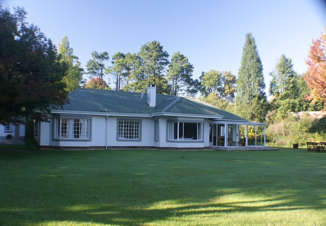
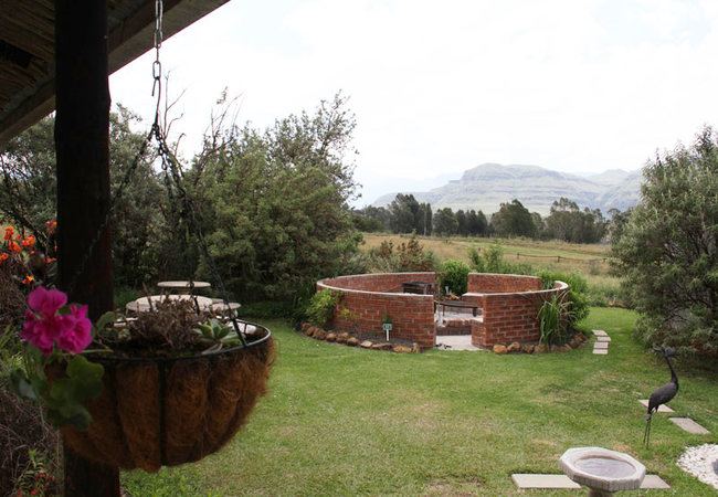
Sani Window
Sani Window in Underberg is set on a large property facing onto the golf course with magnificent views of the Drakensberg Mountains. The house ha...
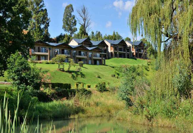
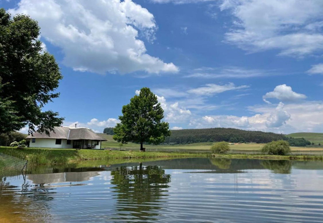
Premier Resort Sani Pass
Premier Resort Sani Pass offers accommodation at the foot of the pass on the banks of the Mkhomazana River. This famous pass is only accessible ...
Sani Valley Lodge
Sani Valley Lodge is a unique blend of nature, activity and luxury accommodation (a mix between an upmarket Bed & Breakfast, Guest House and Hote...
Sani Lodge Backpackers
The Lodge provides a wide range of clean, comfortable budget accommodation as well as 3 charming, self catering cottages, deep in the majestic So...
Dieu Donne Cottage
Dieu Donne Cottage is a self-catering cottage located on a farm just off the Sani Pass Road, in Underberg. The cottage boasts spectacular valley ...

Amazian Mountain River Lodge
Amazian Mountain River Lodge situated in the Southern Drakensberg just outside Underberg and only 18km away from the Sani Pass. Enjoy a de-stress...
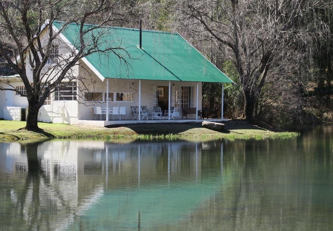
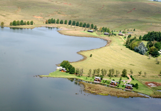
Mkomazana Mountain Cottages
Mkomazana is a unique property nestled at the foot of the Sani Pass. The accommodation is a charming combination of two original and recently ref...
Things to do in the area - see all in Drakensberg
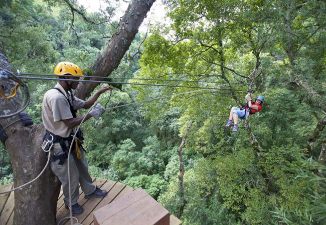
Drakensberg Canopy Tour
Drakensberg accommodation is always special because it promises a place to stay in some of South Africas most spectacular countryside. The area ...
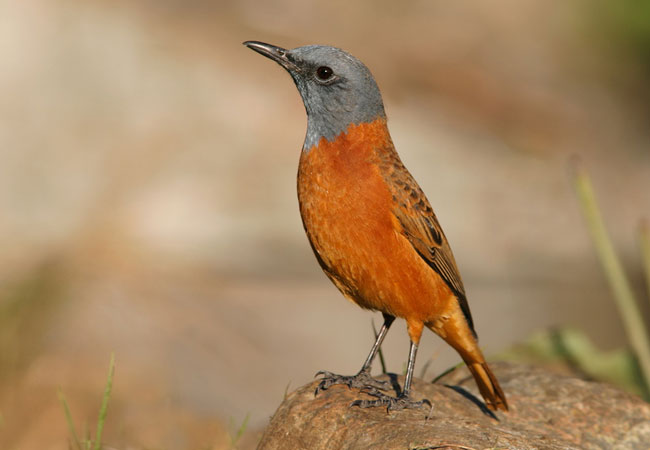
Birding up Sani Pass
This is an all day trip up the Sani Pass in a 4x4, looking for Drakensberg Rockjumper, Sentinel Rockthrush, Drakensberg Siskin, Bush Blackcap and...
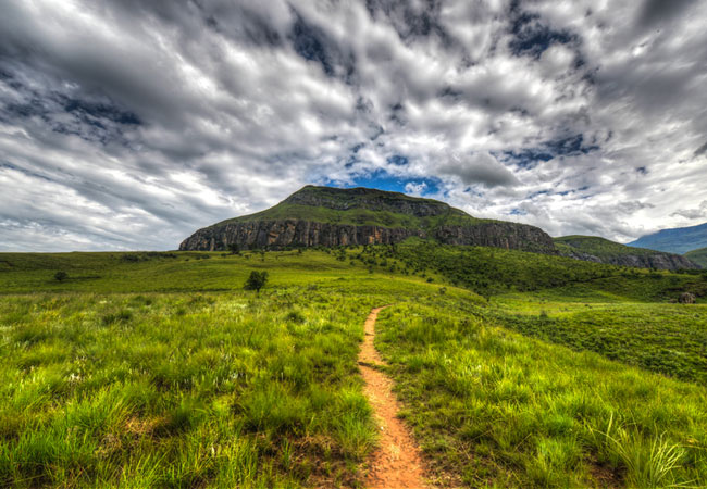
Giants Cup Hiking Trail
This hike runs along the foothills of the gorgeous Drakensberg range of mountains, mainly through the Cobham and Garden Castle reserves. Views he...
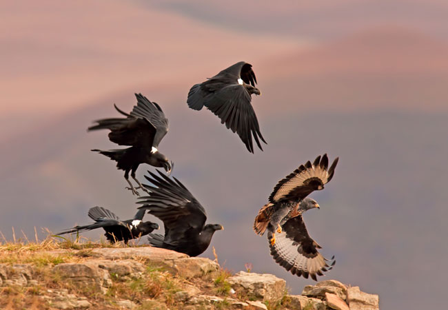
Sani Pass Birding
Birding Tours up the Sani Pass or in the surrounding Forest Mist belt areas for specials such as Drakensberg Rockjumper, Drakensberg Siskins, Cap...
Giants Cup Hiking Trails Sani Pass
If you're looking for a hiking trail that is a little steep in a few places, but generally easy enough for an average level of fitness, Giant's C...
Sani Pass 4x4 Trail
The Drakensberg Mountain Range is nothing short of spectacular, and is undoubtedly best enjoyed at a restful pace. The Sani Pass 4 x 4 Trail is a...
Giant's Castle Hikes
Giant's Castle refers both to the landmark rock massif in the central Drakensberg, where it rests in amongst the peaks of Champagne Castle and Ca...
Langalibalele Pass hike
Start: Giant's Castle campFinish: Giant's Castle campDuration: 6.5 km, roughly 5 hoursFitness: moderateOur tip: always remember seasonal clothing...
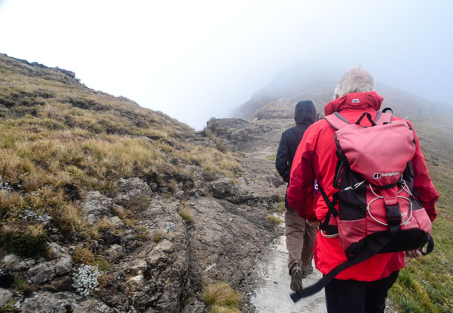
Drakensberg Grand Traverse
Start: the SentinelFinish: Bushman's NekDuration: 200 km; anything from 12 to 15 days (average is 14)Fitness: above average fitness; it's tough, ...
Noteworthy attractions - see all in Drakensberg
Spioenkop Dam Nature Reserve
Lying virtually at the foot of the rugged Spioenkop Mountain, the dam was the site of one of the most bloody battles to ensue during the Anglo-Bo...
Ukhahlamba Drakensberg Park
The Ukhahlamba Drakensberg Park has exceptional natural beauty in its soaring basaltic buttresses, incisive dramatic cutbacks, and golden sandsto...
Cathedral Peak Nature Reserve
The Cathedral Peak Nature Reserve, with its numerous free standing peaks and magnificent mountain scenery, is one of the most favoured parts of t...
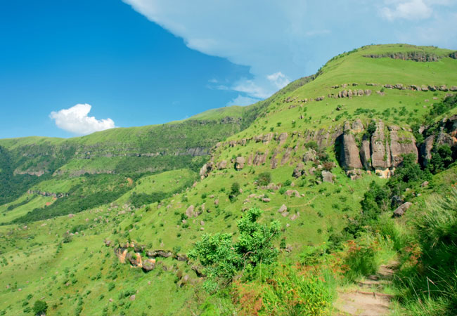
Cobham State Forest
Cobham is situated in the Southern part of the uKhahlamba Drakensberg Park, and is approximately 150 km from Pietermaritzburg. Dominated by Hodgs...

Garden Castle State Forest
Garden Castle is the southern most part of the Ukhahlamba Drakensberg Park and incorporates the Bushman's Nek Valley. The Garden Castle reserve i...
Giant's Castle Nature Reserve
Historic Giant's Castle Nature Reserve, home of the eland and the majestic bearded vulture, lies in the Central Drakensberg region of the Ukhahla...
Himeville Nature Reserve
The Himeville Nature Reserve stretches along the eastern boundary of Himeville Village and was proclaimed to its present size of 104 ha in 1973. ...
Kamberg Nature Reserve
Kamberg Nature Reserve, one of the smallest of the KZN Wildlife resorts, lies in the foothills of the uKhahlamba Drakensberg Park - one of the ea...
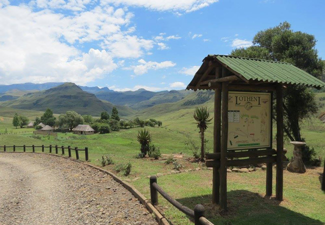
Lotheni Nature Reserve
Noted for its magnificent scenery and beautiful camp, Lotheni is situated in a remote section of the Ukhahlamba Drakensberg Park. Many delightful...
Find accommodation in Sani Pass
FIND / South Africa Accommodation / KwaZulu Natal Accommodation / Drakensberg Accommodation / Sani Pass Accommodation
Sani Pass as a destination
Why book with SA-Venues.com
- Your card is safe with us; strictest card verification in the industry and we don't store card numbers.
- No airy fairy service fees; you save!
- We care. Service with integrity.
- Multiple payment methods:
credit card, SID instant EFT, bank transfer. - All Sani Pass property owners / managers are verified (our experience protects you from online fraud).
- Secure your booking
Maps
Destination Sani Pass
- By type in Sani Pass
- Sani Pass Accommodation
- Sani Pass Hotels
- Sani Pass Guest Houses
- Sani Pass Bed & Breakfast
- Sani Pass Self Catering
- & Holiday Apartments & Suites
- & Holiday Cottages & Chalets
- & Holiday Homes & Villas
- Sani Pass Honeymoons
- Destinations near Sani Pass
- Bergville, Bushmans Nek Valley, Cathedral Peak, Cedarville, Central Drakensberg, Champagne Valley, Drakensberg Gardens, Estcourt, Geluksburg, Giants Castle, Himeville, Kamberg, Kokstad, Matatiele, Monks Cowl, Mont-aux-Sources, Northern Drakensberg, Southern Drakensberg, Swartberg, Underberg, Van Reenen, Winterton, Witsieshoek
- Resources for tourists
- About Sani Pass
- Things To Do
- Attractions
- Reviews