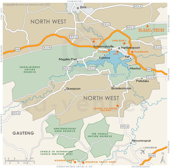
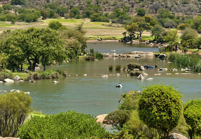
Map of Hartbeespoort Dam, North West Province
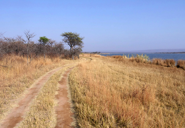
Hartbeespoort Dam detail and street level map showing the layout of the Hartbeespoort Dam area, suburbs and attractions including the location of the Cradle of Humankind and De Wildt Cheetah & Wildlife Reserve. Roughly 45 minutes' drive from Johannesburg and Pretoria, surrounded by the beautiful Magaliesberg mountain range, Hartbeespoort Dam, or Harties to locals, has become a hive of activity and is a very popular weekend getaway for the two cities. To find out more please visit Hartbeespoort Dam Information.
If you are interested in overnighting in the area, we can recommend some great accommodation options including hotels, guest houses and self-catering properties. If you're only planning on driving through Hartbeespoort Dam, en-route to another destination, you may want to peruse our Hartbeespoort Dam Restaurants before you leave to see if you should plan a stop here for lunch or maybe just a coffee. Also check out Hartbeespoort Dam Things To Do to see if there are any activities for which you would consider stopping.
Maps of the North West Province
Provincial Maps
Street Level Maps
North West Province Regions
Special Interests by Map
In the vicinity
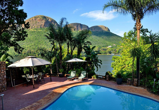
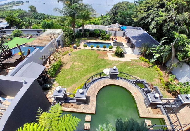
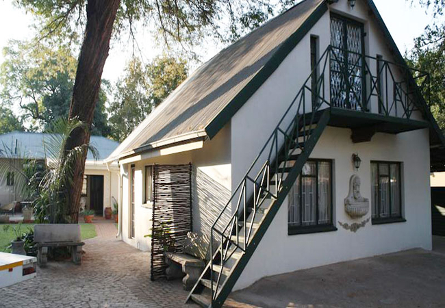
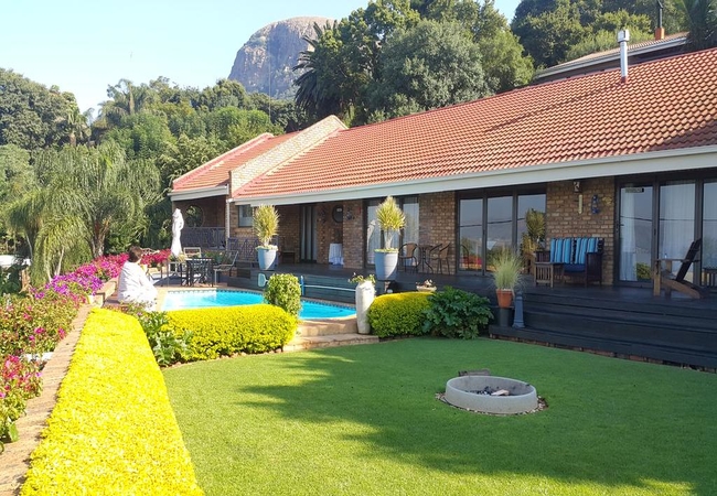
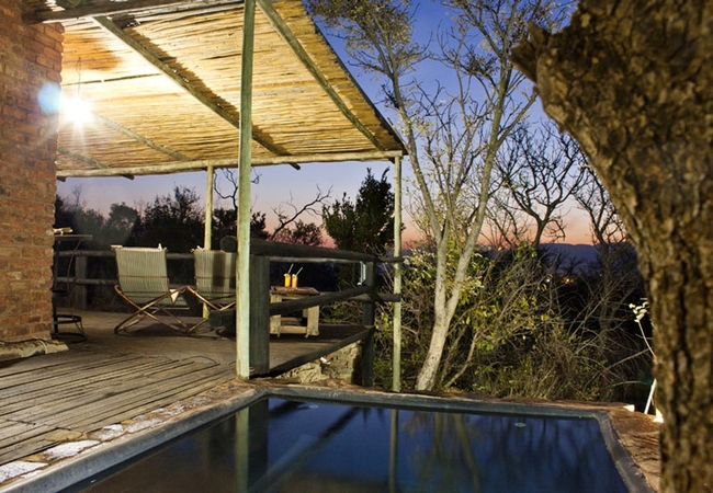
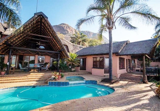
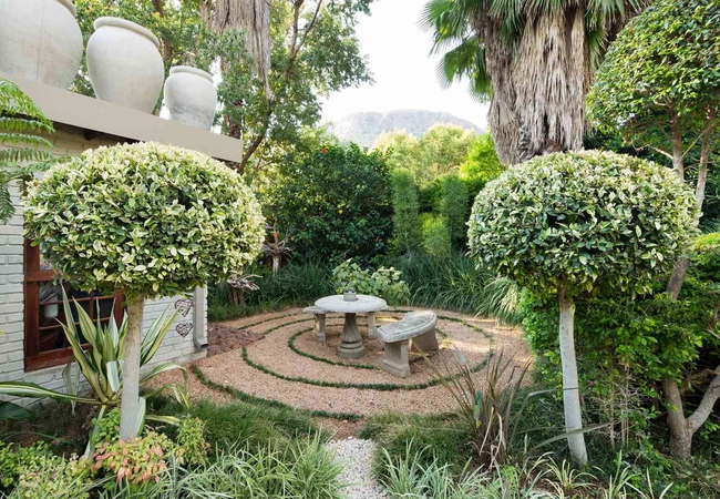
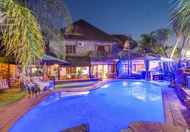
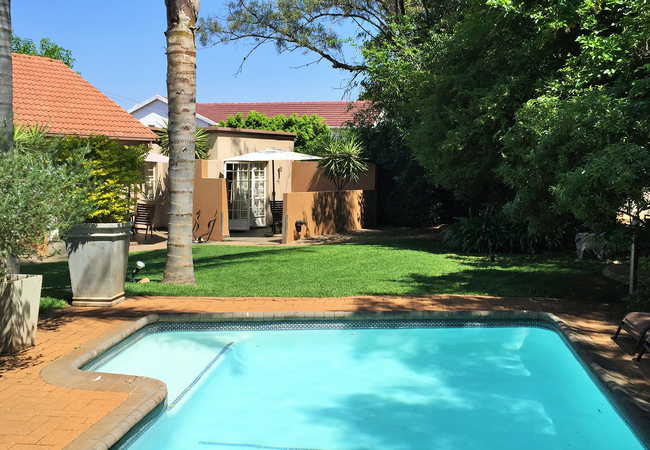
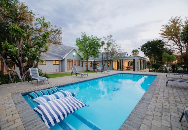
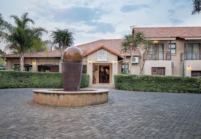
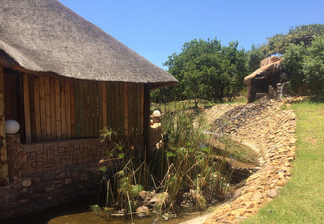
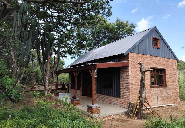
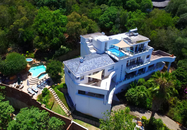
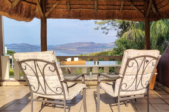
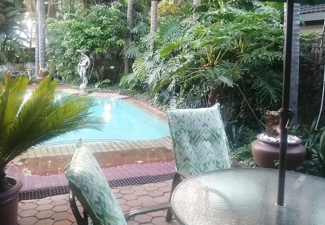
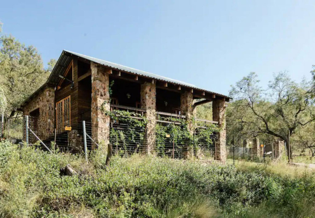
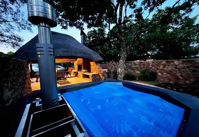
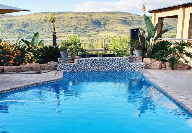
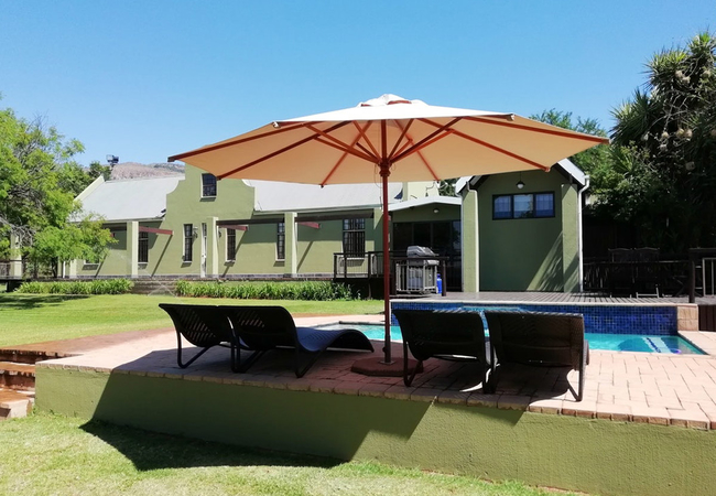
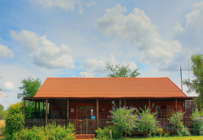
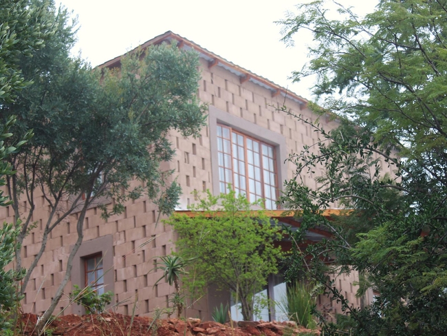
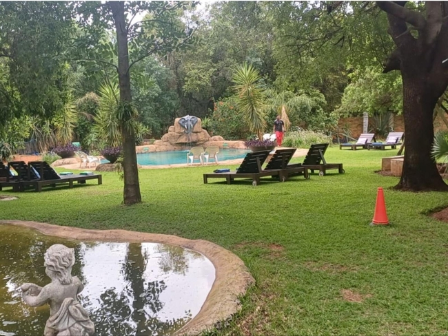
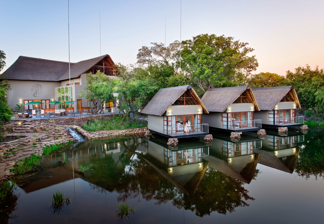
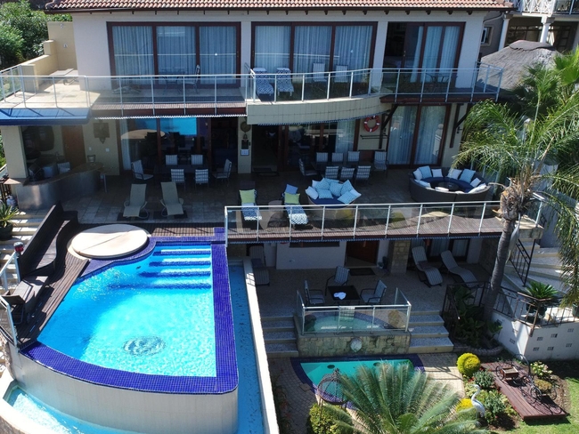
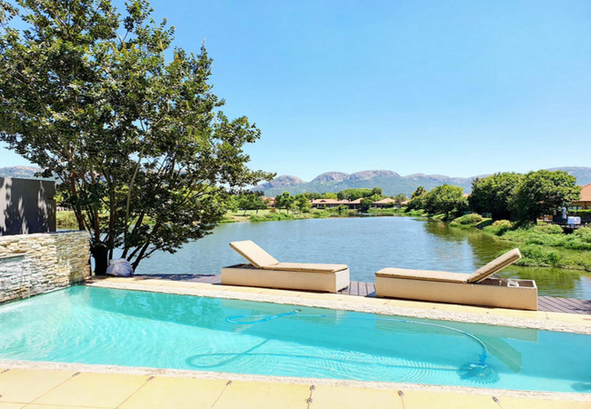
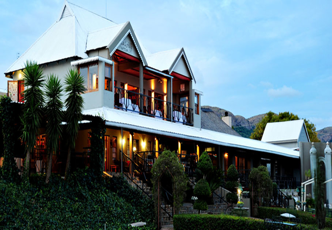
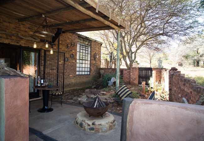
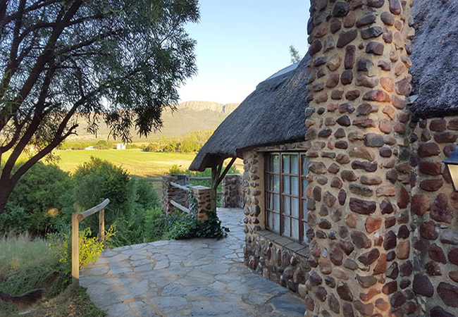
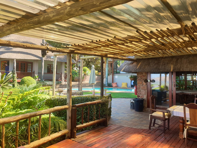
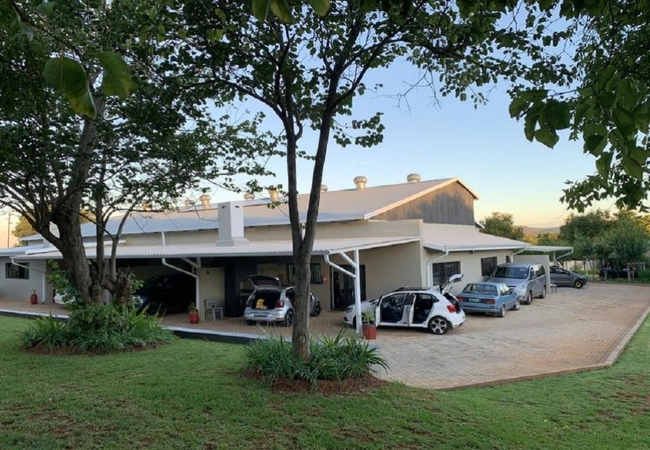
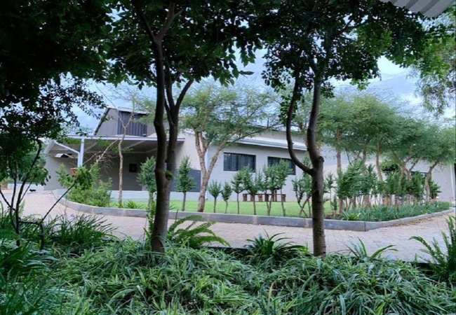
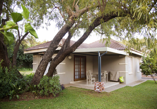
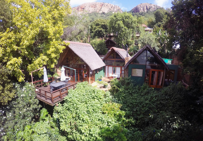
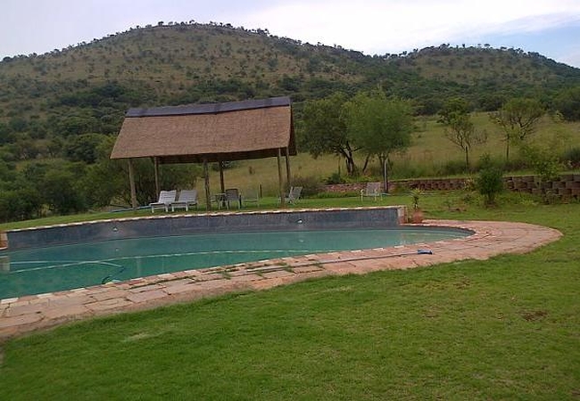
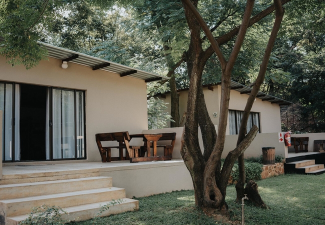
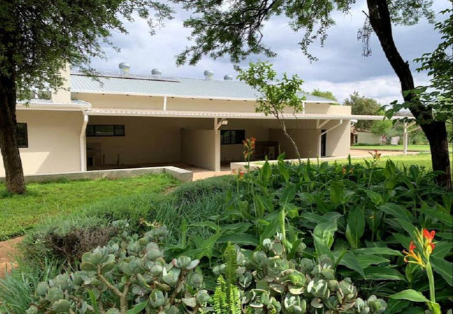
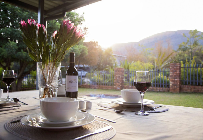
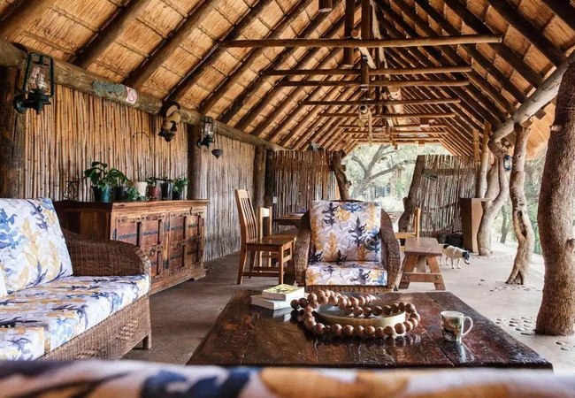
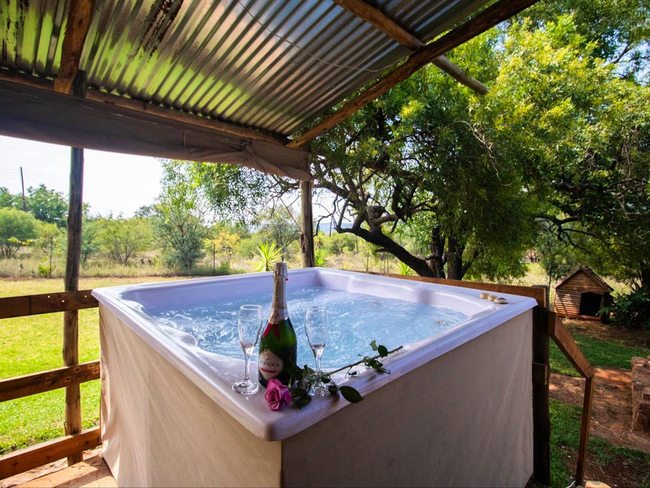
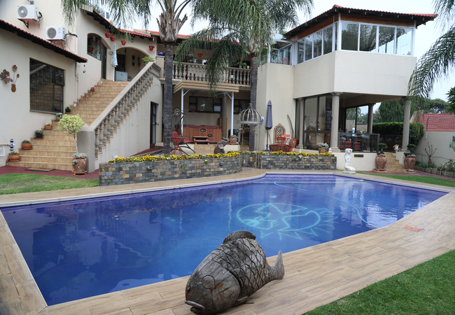
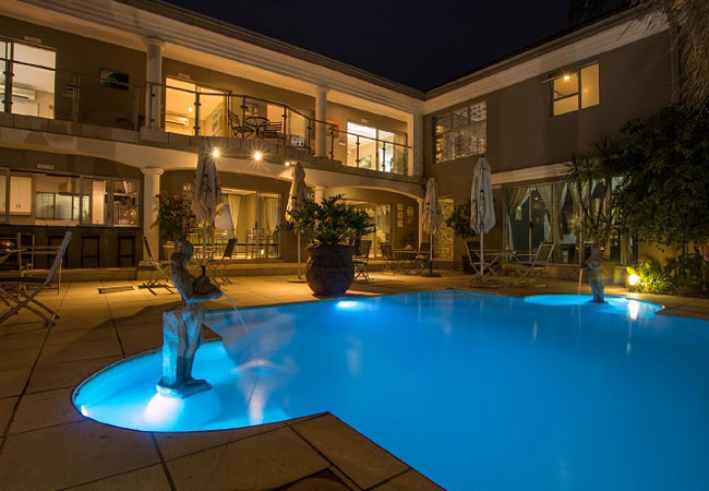
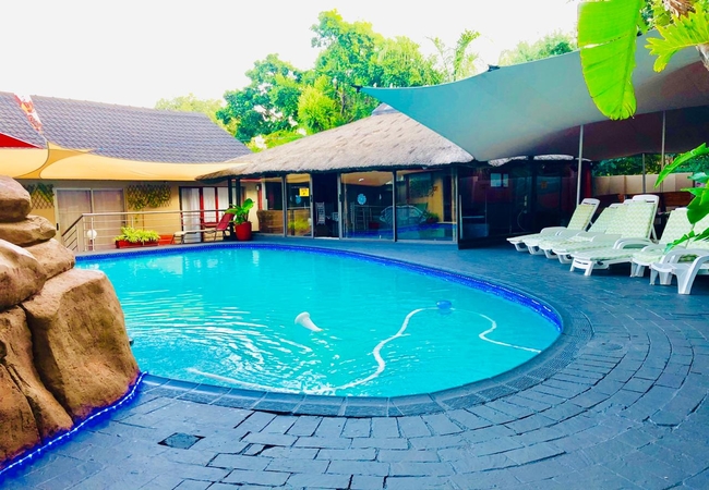
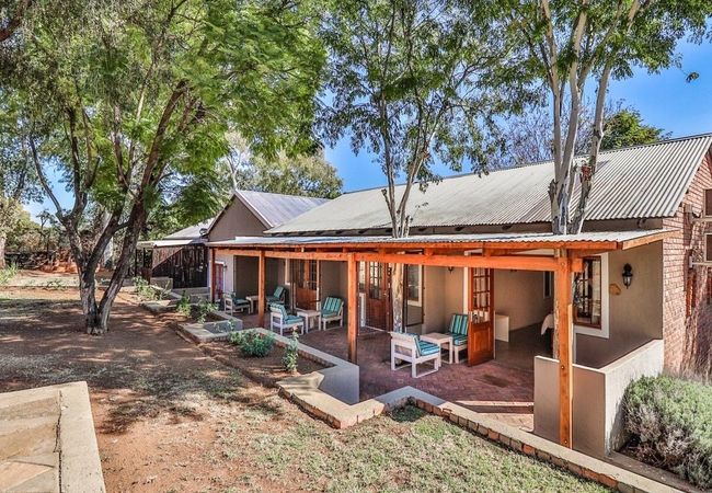
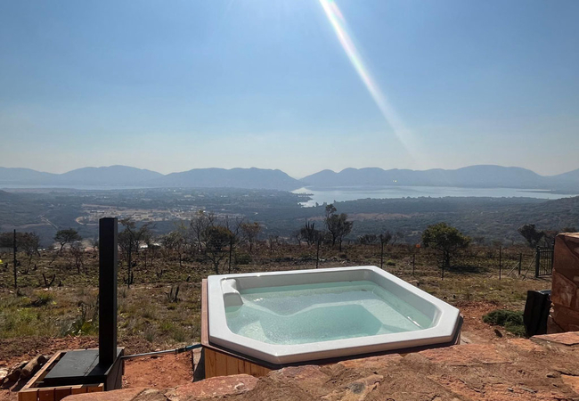
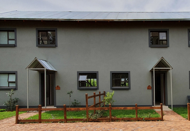
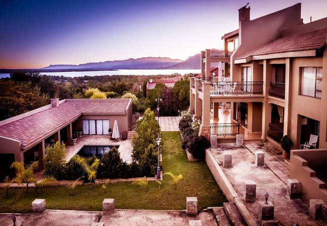
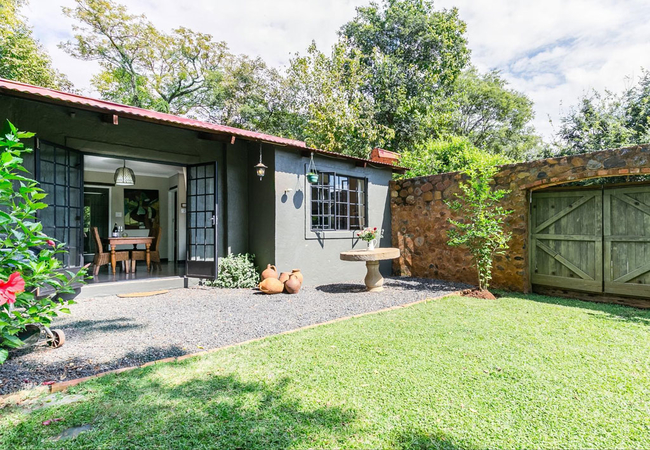
Hotels & other accommodation options
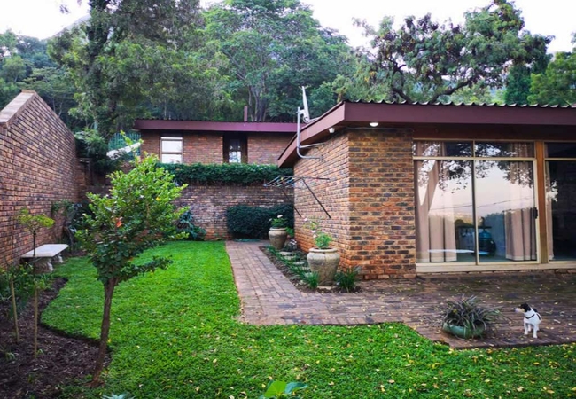
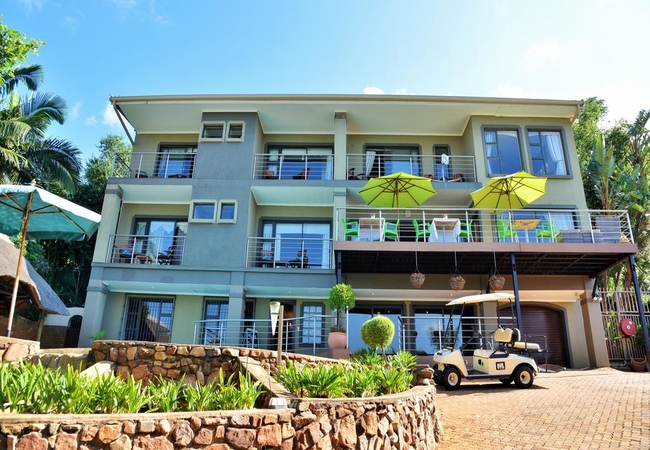
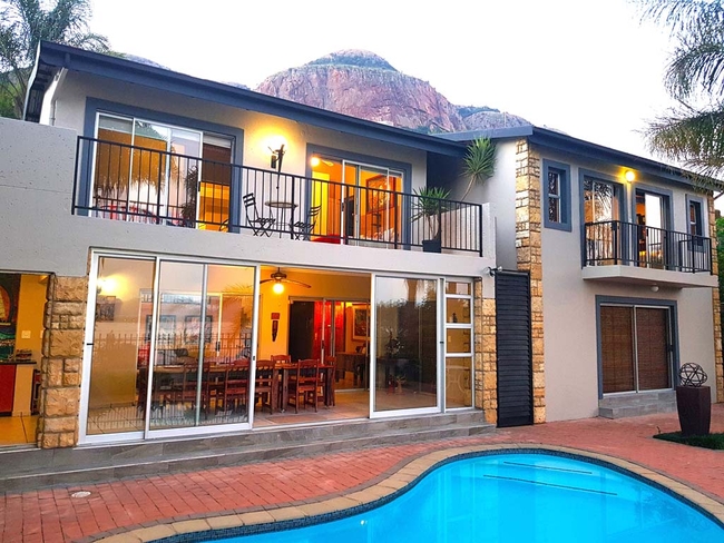
Mia Hills Guest House
Mia Hills Guest House has a choice of rooms with mountain, garden and dam views. The rooms are equipped with fans, heaters and furnished with com...
ThatchView
ThatchView offers accommodation in a selection of apartments in Schoemansville. From here you are close to many wonderful attractions and plenty ...
Oppiberg Guest House
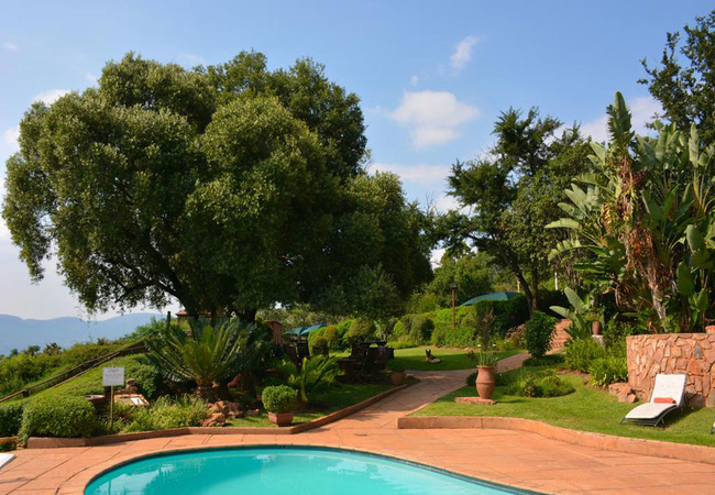
Oppiberg Guest House provides accommodation in tranquil and scenic surroundings creating an ideal weekend breakaway. This thatch house has a 180-...
Koraalboom @ Benlize Lodge
Koraalboom is a self-catering holiday home offering accommodation in Broederstroom at Benlize Lodge. Our rustic lodge is nestled on top of a hill...
Little Swift Chalets
Little Swift Chalets is situated in the Skeerpoort Valley and overlooked by the majestic Magaliesberg Mountain Range. Intimate and romantic self-...
The Venue Country Hotel
The Venue Country Hotel offers accommodation in Hartebeespoort Dam in the North West. This is a stunning hideaway from the concrete jungle where ...
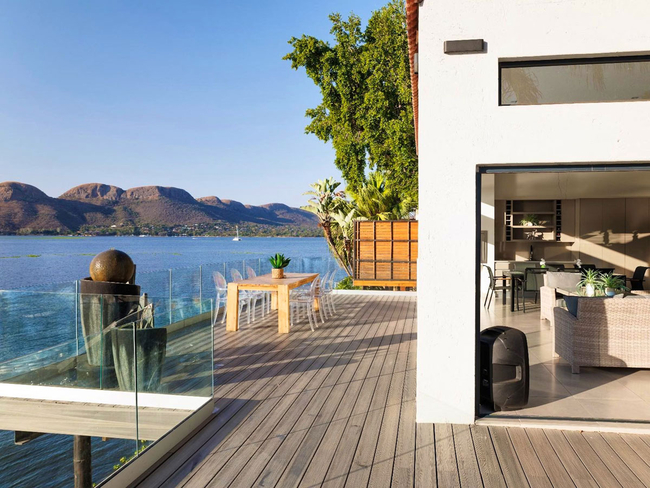
The Shore House
The Shore House, sitting on the edge of the Hartbeespoort Dam is a lovely spacious house with unparalleled views of the dam and the Magaliesberg ...
The Mansion Lodge
The Mansion Lodge offers accommodation in Schoemansville, Hartbeespoort, offering guests a relaxing getaway with views of the magnificent Hartbee...
Big Tree Guesthouse
Big Tree Guesthouse is situated in the heart of Brits, Only 20 minutes from Hartebeespoort. Accommodation is offered in seven comfortable rooms, ...
Annies House Romantic Getaway
Annies House Romantic Getaway is situated in Hartbeespoort, within 2.8 km of Aerial Cableway Hartbeespoort. The accommodation is also within 4km ...
Stirling Manor Boutique Guest House
Stirling Manor provides an up-market European stay in the heart of South Africa. We provide a unique, exclusive, sanctuary for today's traveller,...
B'sorah Luxury Tented Camp
Situated in Broederstroom, B'sorah Luxury Tented Camp offers comfortable accommodation on a self catering basis. During your stay you may be able...
Tuskers Bush Lodge
Tuskers Lodge B&B offers comfortable accommodation next to the Elephant Sanctuary in Hartbeespoort. All rooms are tastefully decorated, with en-s...
Esmarline Lodge
Esmarline Lodge offers accommodation on a farm just 5kms from Brits. The farm has a lovely atmosphere with free ranging chickens, ostriches and g...
Basil's Boma
Basil's Boma is a unique, comfortable and exclusive non-pretentious 'one of a kind' bush chalet for two people. This romantic hide-away is known ...
Marina Views Guesthouse
Featuring a swimming pool, garden and views of Hartbeespoort Dam, Marina Views Guesthouse is located within close proximity of the Aerial Cablewa...
The Art Guesthouse
The Art Guesthouse offers self catering accommodation in Schoemansville, Hartbeespoort Dam. Choose from one of three glorious self catering units...
Kassaboera Lodge
Retreat from the everyday hustle and bustle of city life to Kassaboera Lodge nestled in the Magalies Meander, on the edge of the Hartbeespoort Da...
Vals Palace
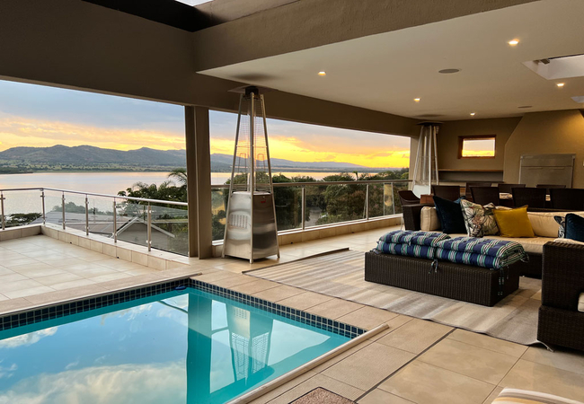
Designed to host up to eight guests, the air-conditioned accommodation offers four bedrooms and two bathrooms. Each bedroom is thoughtfully furni...
La Dolce Vita Guest House
Sit back for a moment, close your eyes and be inspired by the breathtaking views of the Magaliesburg Mountains and the 180 degree views of Hartbe...
Galagos Lodge
This superior establishment offers warm hospitality in a tranquil environment with the emphasis on service excellence. This elegant lodge makes t...
Stay Harties Unit Four
Stay Harties Unit Four offers self-catering accommodation in Hartbeespoort Dam on a private estate just outside Pretoria. Stay Harties Unit Four ...
Khayamanzi Guesthouse
Situated in the dazzling Magaliesberg mountain range lies this charming village at Hartbeespoort Dam. The area is extremely popular with nature l...
Naledi @ 53
Naledi @ 53 is a deluxe holiday home situated on a private game farm close to Brits and Harbeespoort Dam. The tastefully furnished villa is set i...
Three Oaks and an Aloe
Three Oaks and an Aloe Boutique Hotel is a luxury accommodation getaway located at the foot of the majestic Magaliesberg Mountains. With tranquil...
Out of Africa Lodge
Out of Africa Lodge is a tranquil and secluded, private Bush Lodge retreat offering individual accommodation in chalets that sleep from 2 to 6 gu...
Bethesda Mountain Lodge
Bethesda Mountain Lodge is a charming self-catering cottage offering accommodation in Hartbeespoort. The cottage is located on a private farm in ...
El Shadai Guest House and Spa
El Shadai Guesthouse offers luxury accommodation in the Magalies Mountains overlooking the Hartbeespoort Dam with magnificent views of the dam an...
Watershed Guest House
Watershed Guest House offers two suites. Each suite is furnished with a queen-size bed and features a patio equipped with a kettle braai and view...
Willow Manor Guest House
Willow Manor Guest House Brits is an elegant balance between old and modern luxury accommodation in Brits, which is a small mining and farming to...
Bush Farm Stone Cottage
Bush Farm Stone Cottage is a self-catering holiday cottage in Hartbeespoort Dam located on a private farm, nestled in the mountains 5km outside o...
Wildevy @ Benlize Lodge
Wildevy is a self-catering holiday rondawel offering accommodation in Broederstroom at Benlize Lodge. Our rustic lodge is nestled on top of a hil...
Remhoogte Mountain Lodge
Remhoogte Mountain Lodge offers accommodation on a working farm situated in the quaint village of Skeerpoort, only an hour away from Johannesburg...
Mokuru Private Nature Reserve
Spanning 300 hectares, the reserve boasts a diverse array of wildlife, allowing guests to embark on thrilling game drives, leisurely strolls, or ...
Leopard Lodge
Leopard Lodge is situated in the bush and offers comfortable accommodation. Our African bush lodge was designed to reflect the natural surroundin...
Rocky Road Mountain Lodge
Rocky Road Mountain Lodge, nestled in the Magaliesberg, is situated just outside Hartbeespoort Dam and provides exclusivity and romance to its gu...
Charlottesville Farm Lodge
Charlottesville Farm Lodge is the perfect getaway destination for families and friends. With 5 bedrooms (sleeps 10) and amazing mountain views an...
Bly-'n-Bietjie
Situated on the foot of the Magaliesberg, you will find Bly-'n-Bietjie accommodation units nestled in the Africa bushveld. A lovely two bedroom, ...
Oppiberg Cottage
Oppiberg Cottage provides self-catering accommodation with sweeping views of the Crocodile River in Hartbeespoort, offering a serene retreat for ...

Stay Harties Unit Five
Stay Harties Unit Five offers accommodation in Hartbeespoort in an apartment on a lovely, private estate. Harties is the perfect holiday destinat...
Hartbeespoort Country Hotel and Spa
Shangrila-Innibos is a private resort with a range of accommodation options for guests to choose from. Surrounded by the Magaliesberg Mountain Ra...
Seasons Golf, Leisure & Spa
Situated on the slopes of the Magaliesberg Mountains, Seasons Golf, Leisure and Spa is a 4 star leisure resort with 300 acres of indigenous beaut...
Motozi Lodge
Nestled in the Magaliesberg mountain range, in the scenic Hartbeespoort Dam area, lies Motozi Lodge. Offering stylish accommodation, it has a per...
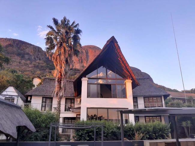
Hartbeespoort Dam Lodge
Situated in the peaceful village of Kosmos, overlooking the Hartbeespoort Dam and the Magaliesberg mountain range, Hartbeespoort Dam Lodge offers...
Kosmos Manor
Named after the quant neighborhood that it stems from, Kosmos Manor on the banks of the Hartebeespoort Dam consists of 6 beautifully appointed ro...
The Pecan Lake Guesthouse
The Pecan Lake is a holiday home with five en-suite bedrooms (sleeps 10). The meticulously designed spaces ensure that your stay is characterised...
Villa Paradiso
Villa Paradiso offers fine accommodation in a beautiful country manor on the eastern outskirts of Hartbeespoort Dam. It is only a 20 minute drive...
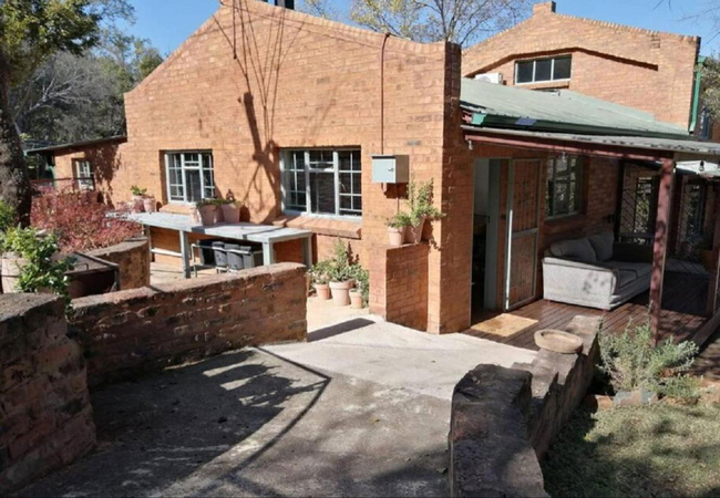
Basil's Potter's Shed
Basil's Potter's Shed in Skeerpoort is a self catering cottage for two with a small private garden. The unit has one bedroom furnished with a Que...
Hollybrooke Farms
Hollybrooke Farms offer accommodation in two thatched roofed, self catering chalets or the farmhouse. Situated in the Skeerpoort Valley on the ba...
Shabbat Guest House
Escape to the peaceful surroundings of Hartbeespoort Dam at Shabbat Guesthouse, where individually styled cottages provide an ideal retreat for c...
The Windsor
The Windsor is a lovely self-catering holiday home in Hartbeespoort Dam. Escape from the city to this idyllic villa with uninterrupted dam views....
La Montagne Guest Lodge
Decorated with African Artifacts this 4 star lodge has amazing views of the Magaliesburg Mountain range and Hartbeespoort Dam. We offer various f...

Migdash Guesthouse
Situated on the banks of the Magalies River, Migdâsh Guesthouse offers accommodation in a selection of rooms. Here you can enjoy a tranquil stay ...
Stay Harties Unit Seven
Stay Harties Unit Seven offers relaxing self-catering accommodation in Hartbeespoort Dam on a lovely, private estate. Stay Harties Unit Seven is ...
El-Tsuri Guest Resort
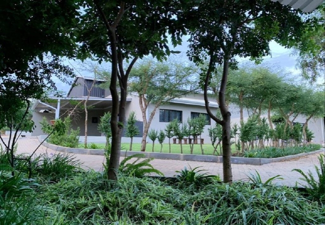
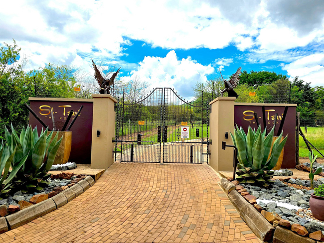
Nestled in the heart of the tranquil Hartbeespoort Valley, El-Tsuri Guest Resort offers a peaceful countryside escape surrounded by lush gardens ...
Stay Harties Unit Three
Stay Harties Unit Three offers relaxing self-catering Hartbeespoort Dam accommodation on a lovely, private estate. Stay Harties Unit Three is a s...
Stay Harties
Stay Harties offers guests relaxing self-catering accommodation in Hartbeespoort on a lovely private estate. The estate offers various picnic and...
Nehema Manor
Nehema Manor in Hartbeespoort Dam is located close to the Aerial Cableway, as well as restaurants and tourist spots. There are three cottages eac...
Bali at Scenic Haven Lodge
Willinga Lodge is situated in the quaint, picturesque village of Kosmos, overlooking Hartbeespoortdam. Four unique, thatched suites each with pri...
Cynthias Country Farm Stay
Cynthias Country Farm Stay offers basic accommodation in Broederstroom. The smallholding boasts beautiful views of the Witwatersberg Mountain and...
Pretorius Park Guest House
Pretorius Park Guest House offers accommodation in Broederstroom in the beautiful countryside. Here you can enjoy an unspoiled river view, a gorg...
Stay Harties Unit Six
Stay Harties Unit Six offers relaxing accommodation in Hartbeespoort on a lovely, private estate. Harties is the perfect place for a romantic get...
Modjadji Cottage
Modjadji Cottage offers Hartbeespoort accommodation at Nehema Manor. The cottage is conveniently located close to the Aerial Cableway, as well as...
Bush Farm Canadian Log Home
Bush Farm Canadian Log Home is a self-catering holiday home in Hartbeespoort Dam located on a private farm, nestled in the mountains 5km outside ...
Crooked Cottage
Crooked Cottage is a rustic retreat offering self-catering accommodation just outside Hartbeespoort Dam. Constructed with rocks from the owner's ...
Ponciana Superior Guesthouse
Ponciana Superior Guesthouse is situated on the top of the hill in Ifafi which give the most stunning view over the Hartbeespoort Dam surrounded ...
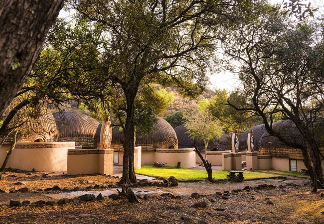
Lesedi African Lodge & Cultural Village
Lesedi African Lodge and Cultural village is located in the heart of the African bushveld and rocky hills, in the Cradle of Humankind, a World He...
Club Cocomo
Cocomo - The place you want to go. An elite, upmarket and contemporary styled guesthouse and conference centre offering high quality accommodatio...
Lesego Guesthouse
Located in Schoemansville (one of the oldest suburbs of Hartbeestpoort Dam), Lesego Holiday Home is a guest house with beautiful views of the gar...
Rocky Hollow
A friendly farm-style experience and comfortable accommodation awaits you at Rocky Hollow, a beautifully restored farmstead situated just outside...
Rock House @ Benlize Lodge
Rock House is a self-catering holiday home offering accommodation in Broederstroom at Benlize Lodge. Our rustic lodge is nestled on top of a hill...
Atelier Isabella
This tastefully appointed self-catering holiday home comprises four double bedrooms, each featuring an en-suite bathroom. Each room offers a balc...
Wild Fig Cottage
Wild Olive is a self-catering holiday cottage in Pretoria located at Boshoffville Family Farm, a 25-hectare farm just outside Hartbeespoort. This...
Pumleni Guesthouse
Pumleni Guesthouse is located in the heart of the Magaliesberg region in the main village at Hartbeespoort and is less than 50 minutes driving fr...
Vulture Creek
Vulture Creek is situated in Skeerport, just west from Hartbeespoort Dam. The accommodation cottages are situated on a small holding that has riv...
The Meadows at Millstream
The Meadows At Millstream are luxuriously appointed self-catering cottages in the countryside at the foot of the magestic Magaliesburg Mountains ...
Chateau la Mer Exclusive Guesthouse
Visit Chateau la Mer Exclusive Guesthouse in Hartbeespoort for a break-away with a difference. Absorb the tranquil surroundings and our splendid ...
La Bastide Guesthouse
La Bastide offers accommodation designed to cater to the varied needs of the visitors to the area. The multitude of exciting activities in our ar...
Things to do in the area - see all in Bojanala Region
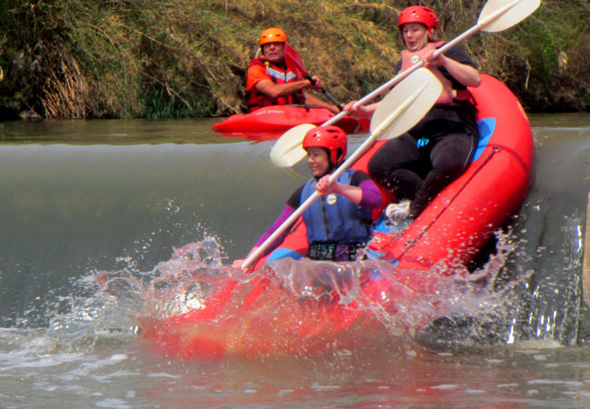
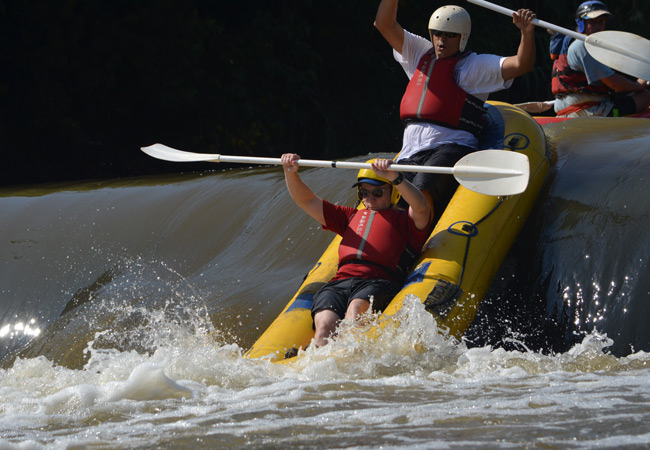
River Rafting Adventure Thrills
Mobile Adventures offers exhilarating half-day white-water rafting experiences on the Crocodile River in Broederstroom, just 45 minutes from Joha...
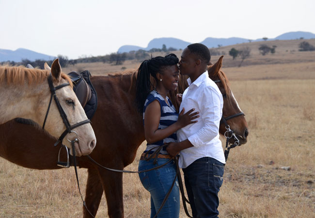
Horse and Trails Unlimited
The scenic area of Hartbeespoort Dam offers the perfect combination of being close to Johannesburg (including the OR Tambo International Airport)...
Paddle Power Adventures
Being less than an hour away from Johannesburg makes the adventures and accommodation in Hartbeespoort pretty irresistible, especially for famili...
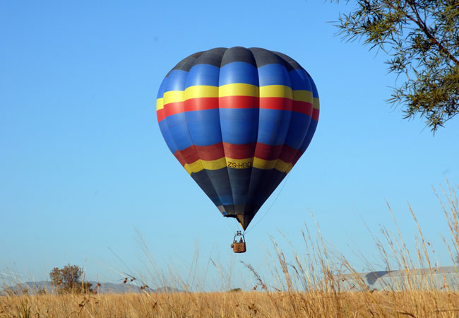
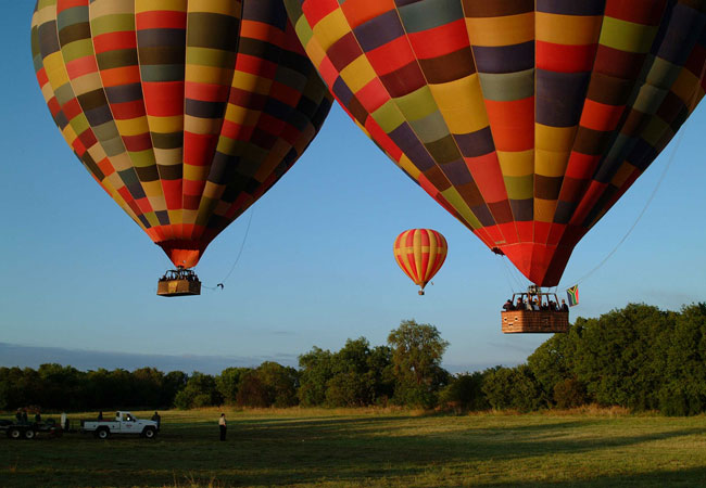
Hot Air Ballooning at Hartbeespoort Dam
Enjoy an unforgettable adventure while you experience total peace and tranquillity over some of the most splendid scenery our country has to offe...
Hot Air Ballooning in Hartbeespoort
On a typical Balloon Safari you will be collected from your hotel and transported by a comfortable mini-bus, or you will be met at the Skeerpoort...
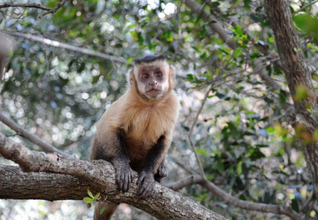
Bushbabies Monkey Sanctuary
Wander through enchanting indigenous forests along elevated wooden walkways and witness exotic monkeys in their natural environment. This non-int...
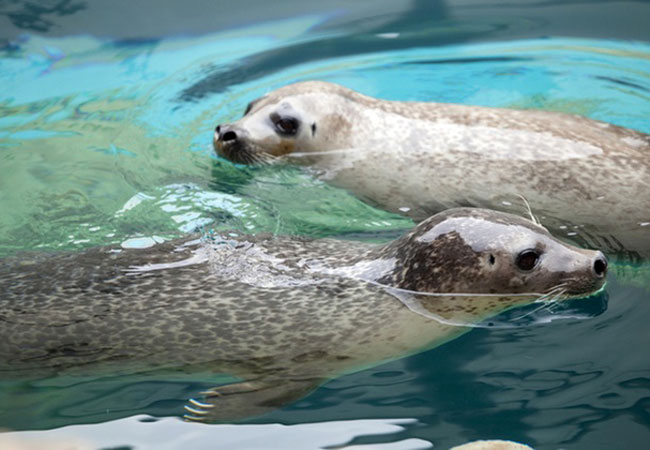
Hartbeespoort Dam Aquarium
Enjoy a variety of freshwater and tropical fish, crocodiles (nile, slender-snout and dwarf, all indiginous to Africa), pelicans, seals, penguins ...
Chameleon Village
Chameleon Village is a destination spanning 10 hectares and is packed with exciting facilities for the local and international tourist. The craf...
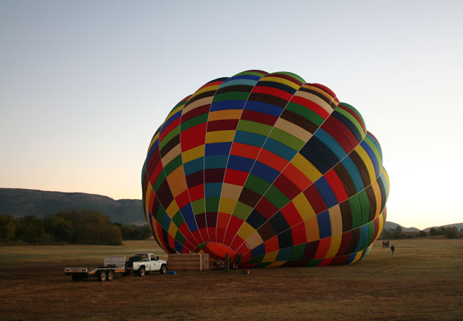
Bill Harrop's Balloon Safaris
If you're going to do it, do it in unassailable style with the acclaimed best in South Africa. Top class sunrise flights depart from Harrop's new...
Noteworthy attractions - see all in Bojanala Region
Borakalalo National Park
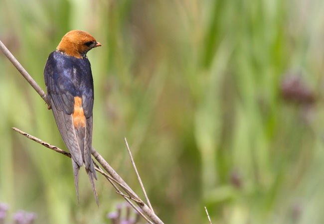
An abundance of wildlife and prolific birdlife (more than 350 bird species) can be viewed in the Borakalalo National Park and the park is also a ...
Kgaswane Mountain Reserve
Perfect for weekend hiking because of the easy access from both Johannesburg and Pretoria, Kgaswane Mountain Reserve is littered with beautiful r...
Madikwe Game Reserve
Madikwe Game Reserve is about 70 000 hectares of bushland, about 3 hours' drive from Johannesburg. It is one of South Africa's largest and most p...
Pilanesberg National Park
The Pilanesberg National Park, which covers some 55 000 hectare, is the fourth largest in southern Africa. This malaria-free park is perched on t...
Vaalkop Dam Nature Reserve
Vaalkop Dam Nature Reserve, just 90 minutes from Johannesburg and 30 minutes from Sun City, is dominated by broken bushveld and is a renowned are...
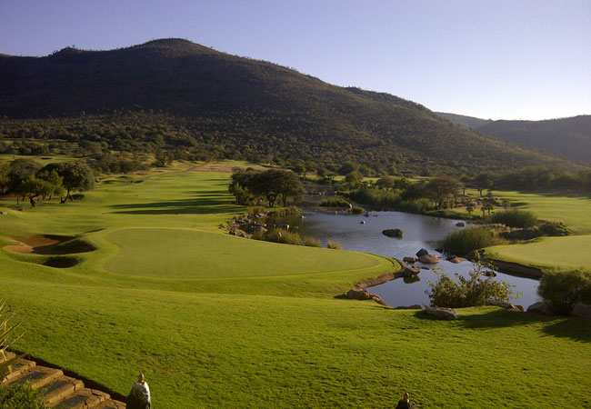
Gary Player Country Club
Continually ranked the best golf course in South Africa, the Gary Player Golf course sets the standard. It is arguably the most famous course in ...
Lost City Country Club
Situated over a hill from the Gary Player Country Club, the Lost City's layout is different in character. With the wide fairways and receptive gr...
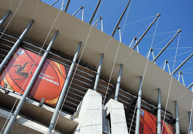
Royal Bafokeng Stadium
Formally known as the Royal Bafokeng Sports Palace, this stadium is situated in Rustenburg, which is a charming town at the foot of the Magaliesb...
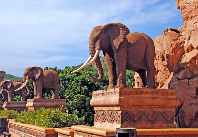
Sun City Resort
The extravagant Sun City Resort complex is known the world over as a tourism hotspot. The Lost City is the obvious highlight of the Sun City comp...
Find accommodation in Hartbeespoort Dam
FIND / South Africa Accommodation / North West Province Accommodation / Bojanala Region Accommodation / Hartbeespoort Dam Accommodation
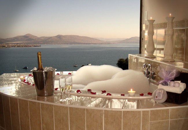
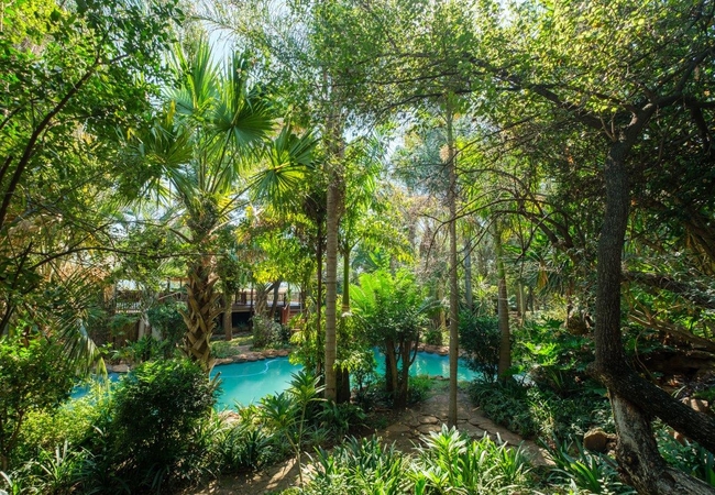
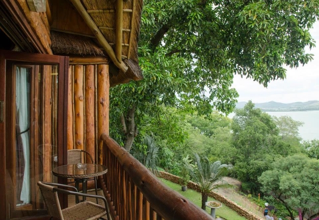
Hartbeespoort Dam as a destination
Why book with SA-Venues.com
- Your card is safe with us; strictest card verification in the industry and we don't store card numbers.
- No airy fairy service fees; you save!
- We care. Service with integrity.
- Multiple payment methods:
credit card, SID instant EFT, bank transfer. - All Hartbeespoort Dam property owners / managers are verified (our experience protects you from online fraud).
- Secure your booking
Maps
Destination Hartbeespoort Dam
- By type in Hartbeespoort Dam
- Hartbeespoort Dam Accommodation
- Hartbeespoort Dam Hotels
- Hartbeespoort Dam Guest Houses
- Hartbeespoort Dam Bed & Breakfast
- Hartbeespoort Dam Self Catering
- & Holiday Apartments & Suites
- & Holiday Cottages & Chalets
- & Holiday Homes & Villas
- Hartbeespoort Dam Conferences
- Hartbeespoort Dam Weddings
- Hartbeespoort Dam Honeymoons
- Destinations near Hartbeespoort Dam
- Boshoek, Brits, Derby, Maanhaarrand, Magaliesberg, Moedwil, Mogwase, Mooinooi, Phokeng, Pilanesberg, Rustenburg, Sun City, Swartruggens
- Resources for tourists
- About Hartbeespoort Dam
- Things To Do
- Attractions
- Reviews