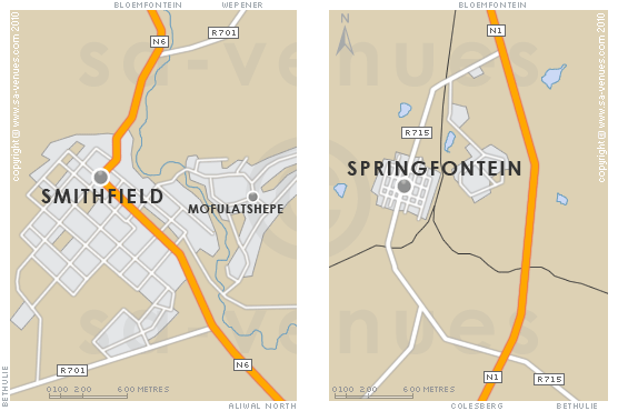
Map of Smithfield, Free State
Smithfield detail and street level map. On the national road that finally culminates in Port Elizabeth, lies the little Free State town of Smithfield - the third oldest town in the Free State province, just 132 kilometres southeast of Bloemfontein. For additional information please visit Smithfield Information.
If you are interested in overnighting in the area, we can recommend some great accommodation options including hotels, guest houses and self-catering properties. If you're only planning on driving through Smithfield, en-route to another destination, you may want to peruse our Smithfield Restaurants before you leave to see if you should plan a stop here for lunch or maybe just a coffee. Also check out Smithfield Things To Do to see if there are any activities for which you would consider stopping.
Maps of the Free State
Provincial Maps
Street Level Maps
Special Interests by Map
In the vicinity
Hotels & other accommodation options
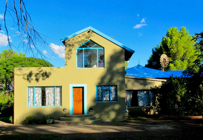
Bluegum Cottage
Set in a large private property with lots of secure off street parking, Bluegum Cottage lies in the quiet and peaceful area of Smithfield. There ...
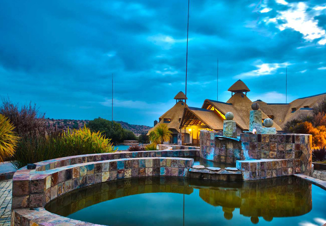
Letsatsi Game Lodge
Letsatsi Private Game Reserve is an ecological refuge that offers accommodation in a game reserve, a main lodge, a secluded bush camp. Letsatsi G...
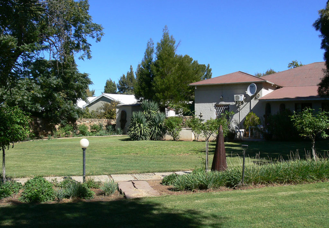
Buckleys Guest House
Buckleys Guest Accommodation offers bed & breakfast accommodation in Smithfield. This quaint area has a number of unique shops, plenty of culture...
Things to do in the area - see all in Xhariep Region
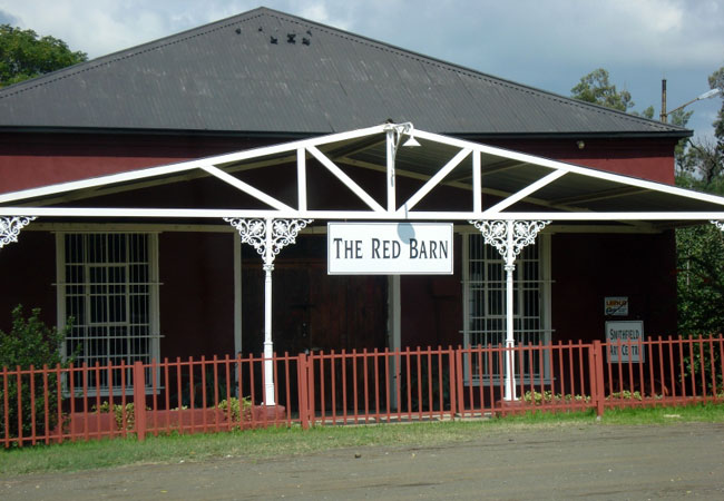
The Red Barn Gallery
Art has become an important part of life in Smithfield and a number of resident artists regularly display their work in the local art and craft g...
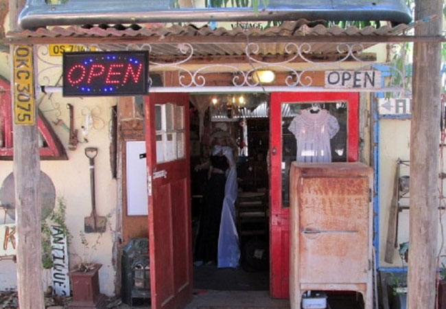
Excentrix Vintage Collectibles
Previously known as The Rustic Relic, Excentrix Vintage Collectibles is situated in General Hertzog Street in Smithfield. Run from a house dating...
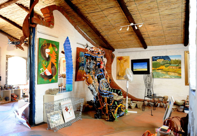
Fresh Paint Art Gallery
The Southern Free State is the proud home of the Fresh Paint Art Gallery, which prides itself on being one of the areas top art galleries. Fresh...
Noteworthy attractions - see all in Xhariep Region
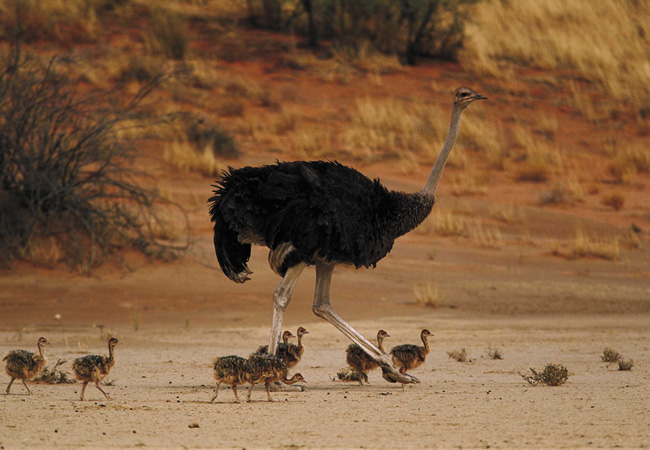
Karoo Gariep Conservancy
Karoo is a quenna word meaning dry and hard. Gariep is also a quenna word meaning big wateror river. The Karoo Gariep Concervancy is foun...
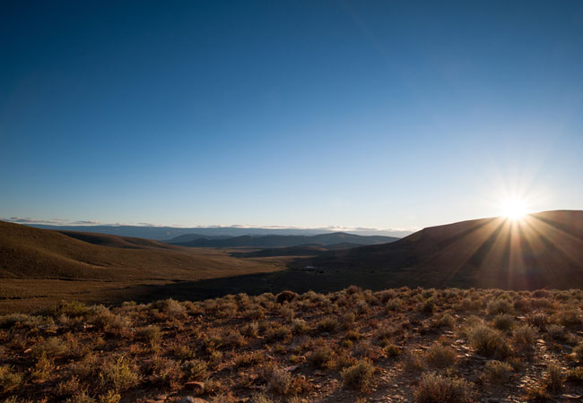
Tankwa Karoo National Park
The 80 000 hectare Tankwa Karoo National Park, proclaimed in 1986 and still in a development stage, is at present in a veld recovery phase and it...
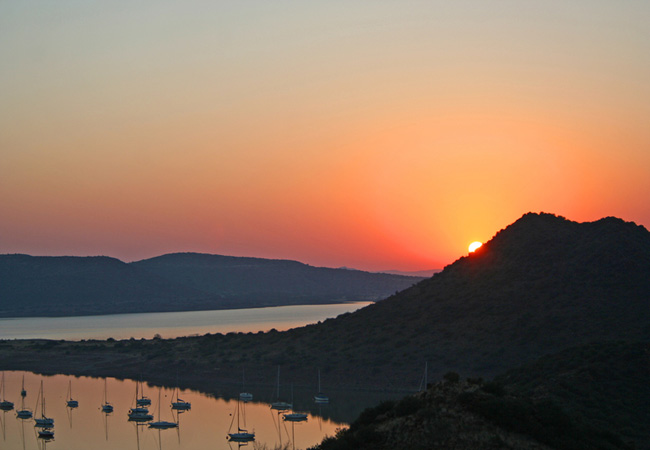
Gariep Dam Nature Reserve
The Free State's largest nature reserve is a combination of the 36 487 ha Gariep Dam on the Orange River and an 11 237 ha game sanctuary on its n...
Kalkfontein Dam Nature Reserve
Lying just south east of Koffiefontein in the south western Free State, Kalkfontein Dam Nature Reserve on the Riet River is not usually visited e...
Tussen die Riviere Game Reserve
Tussen die Riviere Game Reserve is one of the most accessible game reserves in the Free State. Situated in Bethuli, you can get there from Bloemf...
Oviston Nature Reserve
The Oviston Nature reserve lies close to the little Karoo towns of Venterstad and Oviston roughly two hours drive from Bloemfontein. That it is ...
Find accommodation in Smithfield
FIND / South Africa Accommodation / Free State Accommodation / Xhariep Region Accommodation / Smithfield Accommodation
Smithfield as a destination
Why book with SA-Venues.com
- Your card is safe with us; strictest card verification in the industry and we don't store card numbers.
- No airy fairy service fees; you save!
- We care. Service with integrity.
- Multiple payment methods:
credit card, SID instant EFT, bank transfer. - All Smithfield property owners / managers are verified (our experience protects you from online fraud).
- Secure your booking
Maps
Destination Smithfield
- By type in Smithfield
- Smithfield Accommodation
- Smithfield Hotels
- Game Lodges
- Smithfield Guest Houses
- Smithfield Bed & Breakfast
- Smithfield Self Catering
- & Holiday Cottages & Chalets
- & Holiday Homes & Villas
- Smithfield Honeymoons
- Destinations near Smithfield
- Bethulie, Edenburg, Gariep Dam, Jacobsdal, Petrusburg, Philippolis, Rouxville, Springfontein, Trompsburg, Zastron
- Resources for tourists
- About Smithfield
- Things To Do
- Attractions
- Reviews