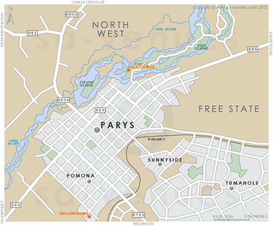
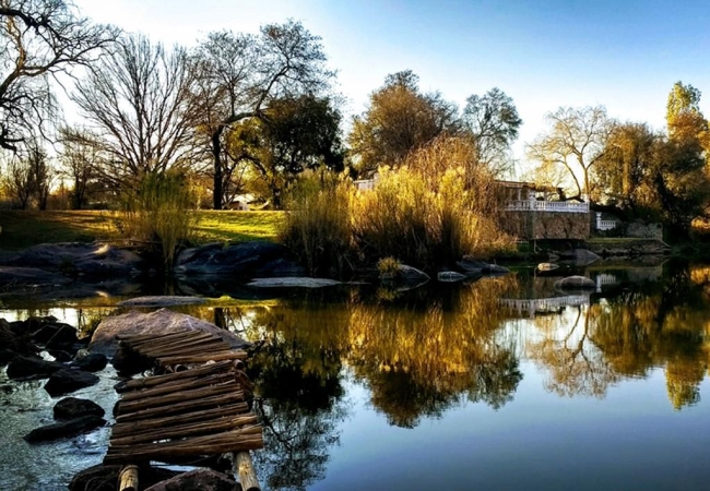
Map of Parys, Free State
Parys detail and street level map showing some attractions and landmarks of Parys including the location of the Parys Golf Course and Showgrounds. Parys is essentially a farming community (tobacco, corn, sorghum and cattle are all farmed in the vicinity), but it has also become a popular town to visit. For additional information please visit Parys Information.
If you are interested in overnighting in the area, we can recommend some great accommodation options including hotels, guest houses and self-catering properties. If you're only planning on driving through Parys, en-route to another destination, you may want to peruse our Parys Restaurants before you leave to see if you should plan a stop here for lunch or maybe just a coffee. Also check out Parys Things To Do to see if there are any activities for which you would consider stopping.
Maps of the Free State
Provincial Maps
Street Level Maps
Special Interests by Map
In the vicinity
Hotels & other accommodation options
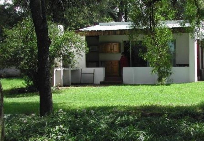
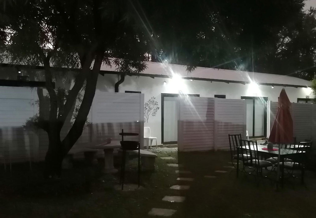
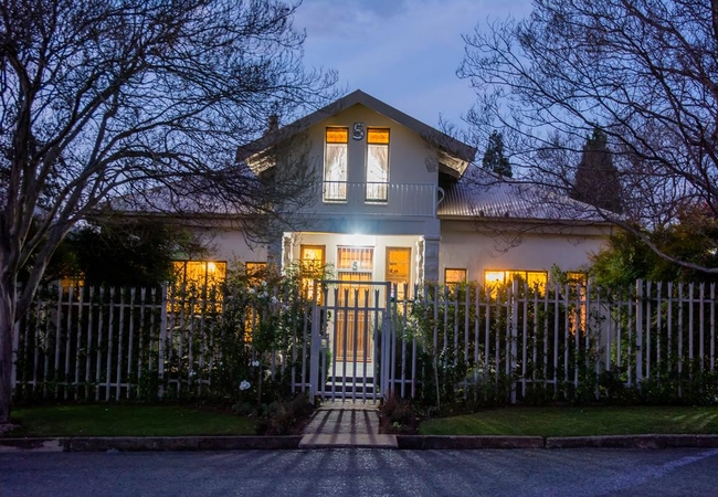
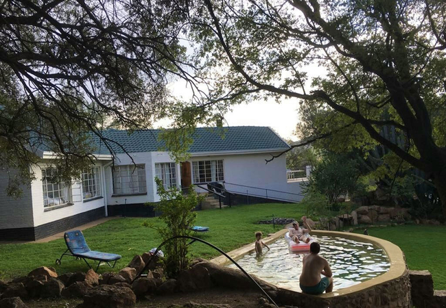
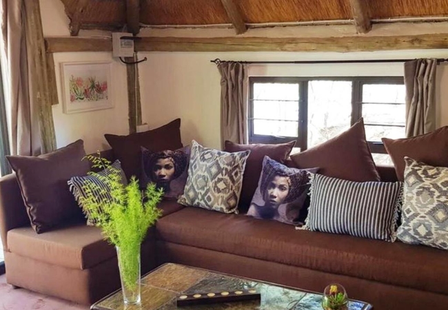
Porcupine Annexe
The Porcupine Annexe is a neat, comfy, self-contained annex to the holiday home next door. The annexe has a river view and sleeps three guests. T...
Aqua View Riverside Guesthouse
Aqua View Riverside is a holiday home (accommodates 10 guests) situated in the picturesque town of Parys on the banks of the Vaal River within th...
Savannah Game & River Retreat
Savannah Game & River Retreat is a secluded African bush retreat where tranquility and relaxation awaits you. At this small and intimate safari l...
Die Wit Huis Cottage
Die Wit Huis Cottage offers Parys accommodation in a quiet area. The property is a mere 3km from Parys Golf & Country Estate and 1km from the Vaa...
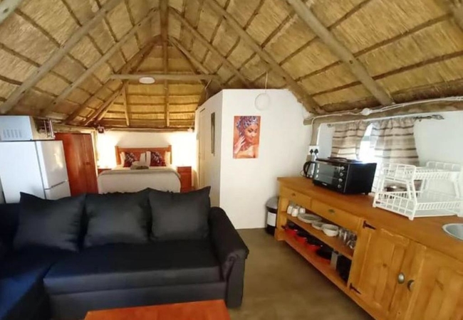
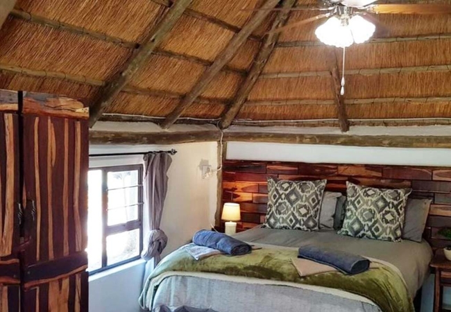
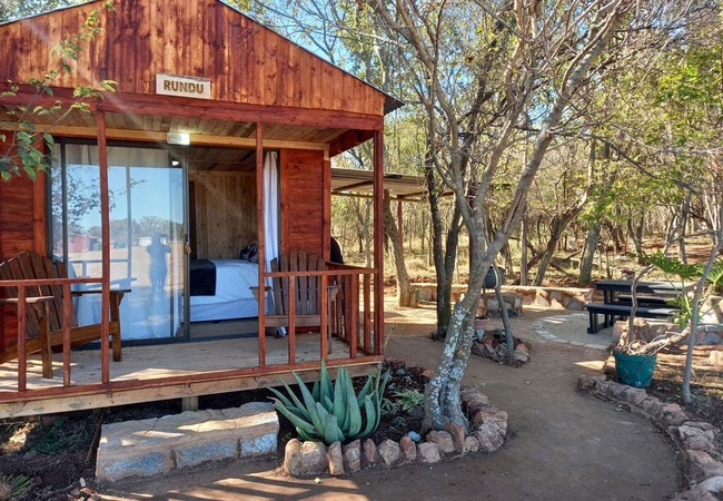
Kavango Hut
Kavango Hut offers accommodation in Parys, not even 100km from Johannesburg, on Palmietfontein Farm. This is a piece of fly fishing paradise, sur...
KayanZee Lodge
KayanZee Lodge offers self catering accommodation in Parys and has a great view of the river. From here you are just 4km away from Sunwa River Ad...
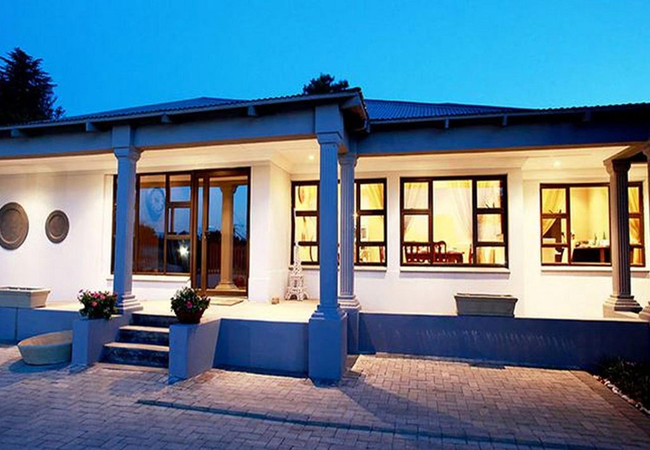
Mirabel Guesthouse
Mirabel is a gorgeous guesthouse situated close to the centre of town and the Vaal River which both offer a wide variety of attractions and activ...

Riverrun Resort Farmhouse
Riverrun Farmhouse offers self-catering in Vredefort on the Riverrun Resort situated at the Vredefort Dome near Parys, along the Vaal River. The ...
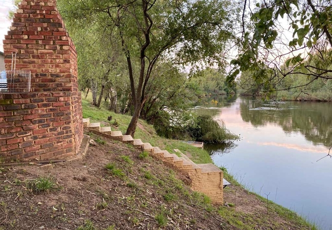
Die Rivier Huis
Just 8km outside of Parys and close to the Dome World Heritage Site, Die Rivier Huis provides self-catering accommodation on the banks of the Vaa...
Guineafowl Cottage
Guinea Fowl cottage offers accommodation in Parys, surrounded by water, forests and mountains in the Vredefort Dome World Heritage Site. It is a ...
Die Wit Huis Guesthouse
Die Wit Huis is located in a quiet area in the town of Parys, Free State. The property is a mere 3km from Parys Golf & Country Estate and 1km fro...
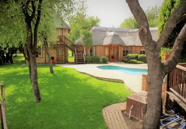
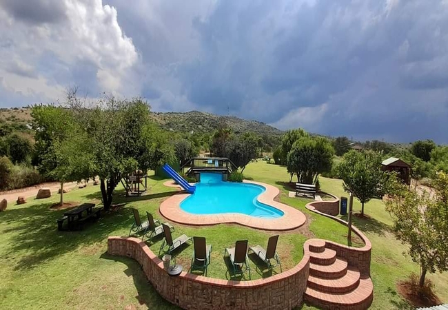
Wild Olive Country Retreat
Wild Olive Country Retreat is a fully furnished holiday home offering accommodation for 12 guests. The house has six bedrooms and four bathrooms...
Casa Cara Guesthouse
Casa Cara Guest House has standard, deluxe, superior and family rooms. All rooms have private courtyards and are equipped with TV & DStv (Hospita...
Gentle Breeze Retreat
Gentle Breeze Retreat is a charming guest house offering bed and breakfast accommodation in Parys in the little country town that lies on the sou...
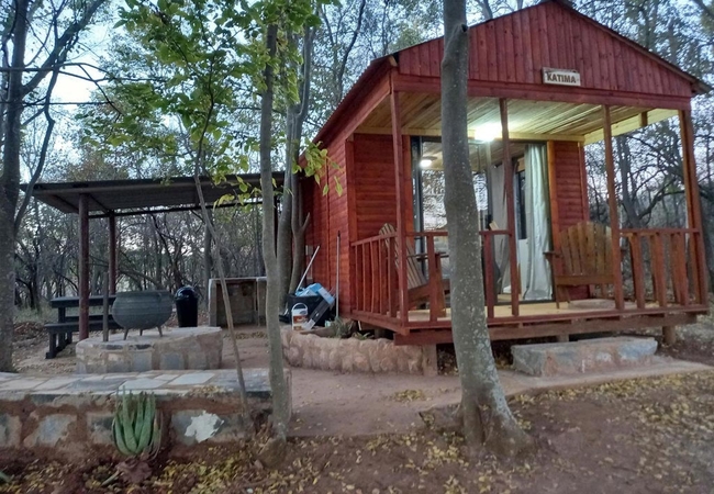
Katima Hut
Katima Hut is located in the Free State, not even 100km from Johannesburg, on Palmietfontein Farm. Katima Hut is furnished with a double bed and ...
398 Vaal de Grace
398 Vaal de Grace is situated in the secure Vaal de Grace Golf Estate in Parys. The estate faces towards the river front and guests have access t...
The Vaal River Bush Lodge
The Vaal River Bush Lodge is the perfect getaway for intimate weekends or large group vacations. The house offers Parys self catering accommodati...
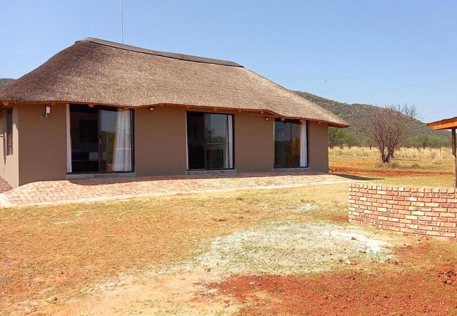
Olivier Hut
Olivier Hut is located in the Free State on Palmietfontein Farm. This is a fly fishing paradise, surrounded by the beautiful landscapes. There ar...
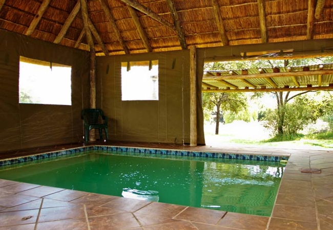
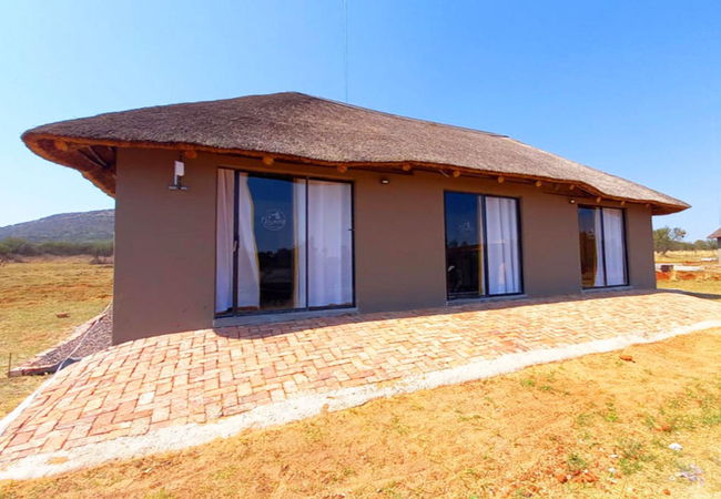
Otters Haunt
Otters' Haunt is surrounded by water, forests and mountains in the Vredefort Dome Site. Rustic accommodations include a large guest house, bush c...
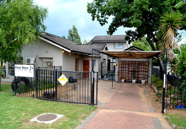
PoorBoys OverNight Stay
PoorBoys Overnight Stay offers an affordable place to stay in Parys. Guests are conveniently located near to shops, restaurants and activities su...
Cabous Hut
Cabous Hut is located in the Free State, not even 100km from Johannesburg, on Palmietfontein Farm. This is a piece of fly fishing paradise, surro...

Jackalberry Guest Farm
Jackalberry Guest Farm offers a tranquil retreat from the bustling city near the Vaal River. The accommodation is a mere 135 km from O.R Tambo In...
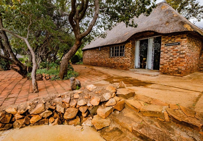
Bokmakierie at Kieriebos
Bokmakierie has two bedrooms. One bedroom is furnished with a Queen-size bed and the other with a two single beds. The cottage has a well-equippe...

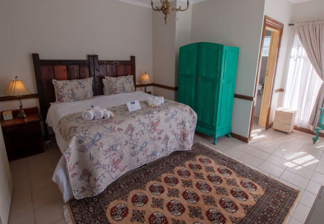
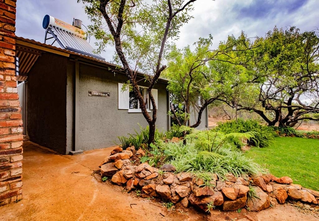
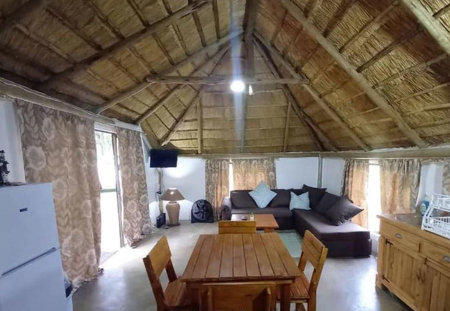
Tinktinkie at Kieriebos
Tinktinkie is a bachelor unit / studio holiday apartment located on Kieriebos Guest Farm in Vredefort, only two hours' drive from Johannesburg. T...

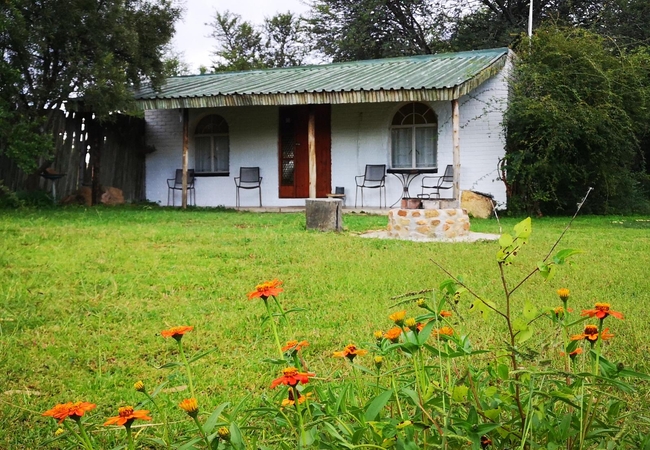
Die Boshuis
Located just 8km outside of town and close to the Dome World Heritage Site, Die Boshuis provides self-catering accommodation in Parys in an enclo...

Afri Gastekamers
Afri Gastekamers is a charming guest house offering comfortable accommodation in the quaint town of Parys which is situated on the banks of the V...
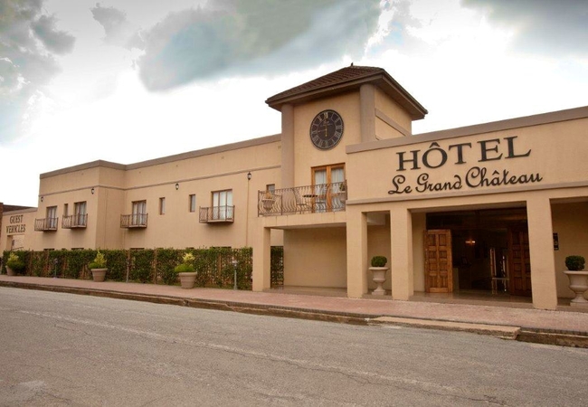
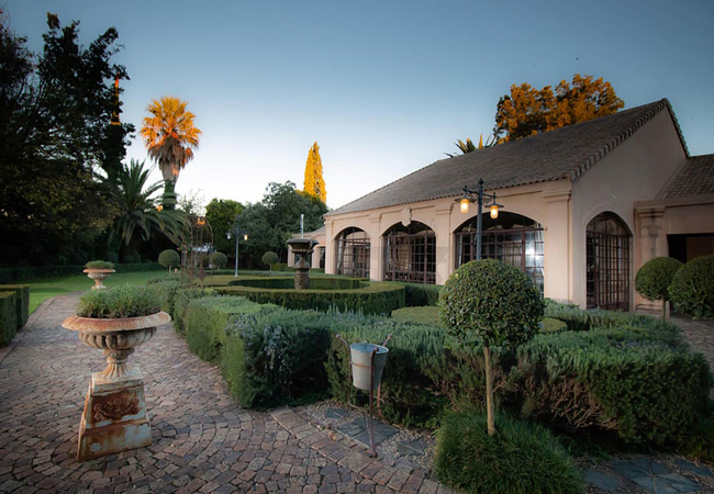
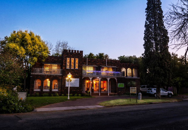
Le Grand Chateau
Le Grand Chateau is an elegant gem that lies in the heart of the Dome World Heritage Site. The hotel seamlessly blends elements of the old and th...

Dome Inn Lodge
Located a short two hour drive from both Pretoria and Johannesburg, Dome Inn Lodge offers luxury accommodation in the picturesque Vredefort Dome....

Otters Haunt Den
Otters Haunt Den is a comfortable holiday home in the Vredefort Dome World Heritage Site, surrounded by water, forests and mountains. The self ca...
Boom69 Guesthouse
Boom69 Guesthouse offers self catering accommodation in Parys situated in the heart of the town, near the scenic Vaal River. The guesthouse is ne...

Cormorant Cabin
The Cormorant Cabin is perched on a koppie and sleeps four guests in two bedrooms. The first bedroom is furnished with a double bed and the seco...
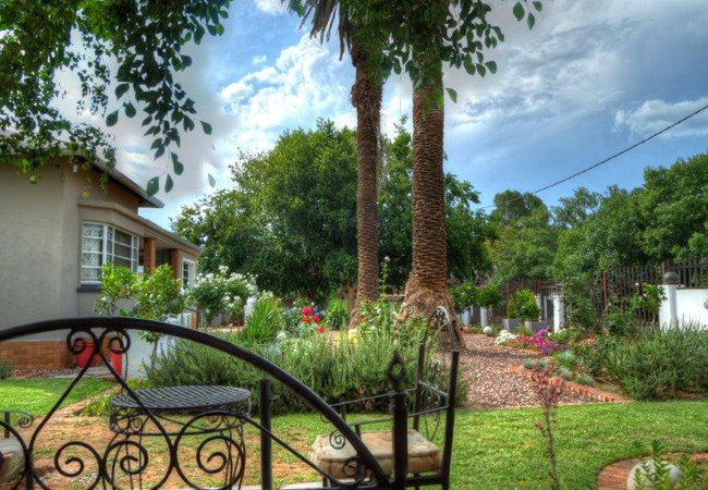
Hidden Grace
Hidden Grace is a French styled guesthouse in Parys - spoil yourself to the luxury and French flair in South Africa's own Paris! Guests can relax...
Bergpatrys at Kieriebos
Bergpatrys is a cottage located on Kieriebos Guest Farm in Vredefort. Just 2 hours' drive from Johannesburg, on a rural dirt road, you will find ...
The Gus Hut
The Gus Hut Holiday Cottage in Parys lies on the Palmietfontein Farm. This is a fly fishing paradise, surrounded by the beautiful landscapes of t...
Tava Lingwe Game Lodge
Situated in Vredefort and just 35kms outside of Parys, Tava Lingwe Game Lodge offers a variety of accommodation from fully equipped chalets to lo...
Mistique Waters Guesthouse
Mistique Waters accommodation is situated across the banks of the Vaal River in Parys. Boasting magnificent views of the river, one can enjoy a r...
Rose Acres Guest House
Rose Acres Guest House is located in the heart of Parys in the Free State. The Guest House features six guest suites, each with an open en-suite ...
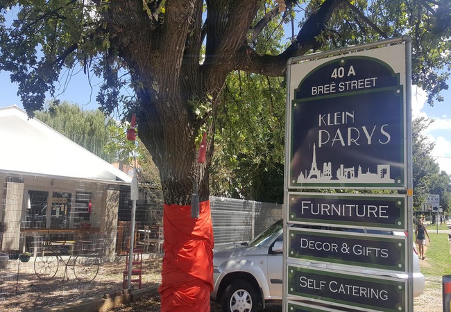
Klein Parys
Klein Parys is situated in the heart of Parys, within walking distance to shops and restaurants. We are a five minute drive from the Afridome, th...
397 Vaal de Grace
397 Vaal de Grace is ideally situated on the secure Vaal de Grace Golf Estate in Parys, facing north and towards the river front. Guests have acc...
466 Vaal de Grace
Situated on the fabulous Vaal de Grace golf estate, 466 Vaal de Grace offers comfortable accommodation in two separate units. The house is the on...
French Affaire
French Affaire is house is ideal for outdoor enthusiasts as well as those who want to get away for a romantic weekend. Parys is located in the Vr...
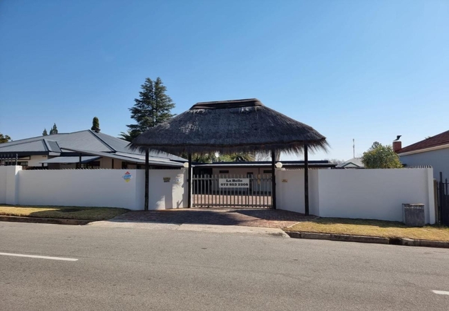
La Belle Guesthouse
La Belle Guesthouse is located in the charming Free State town of Parys. The guest house offers five Double Rooms and one Family Room; comfortabl...

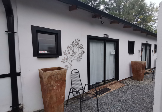
Otters Haunt Bush Cabins
Otters Haunt Bush Cabins offer unique accommodation in Parys in the beautiful Vredefort Dome World Heritage Site. Otters Haunt Bush Cabins consis...
Caprivi Hut
Caprivi Hut is located in the Free State, not even 100km from Johannesburg, on Palmietfontein Farm. This is a piece of fly fishing paradise, surr...
Things to do in the area - see all in Northern Free State
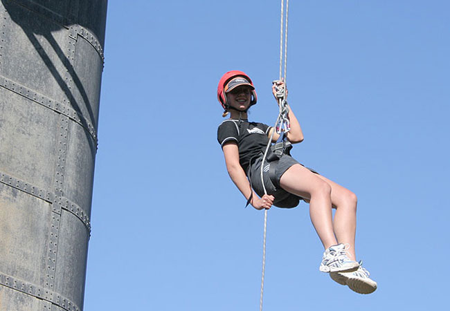
Abseil with Earth Adventures
Earth Adventures offers safe and exciting abseiling at a number of venues around the Vredefort Dome. Thrill seekers can chose from a number of av...
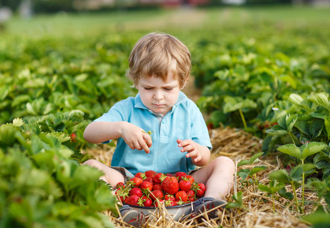
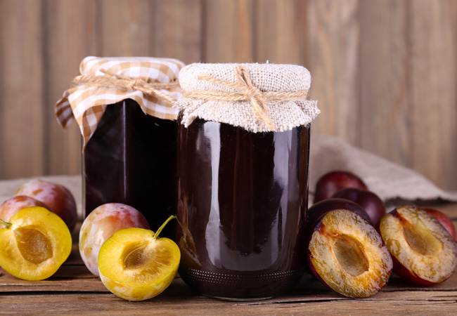
Berry Picking at Bon-Af Berry Farm
For a day out with a difference, why not go berry picking at Bon-Af Berry Farm and experience picking berries straight from the bush. If you gath...
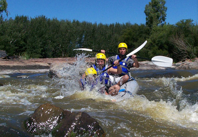
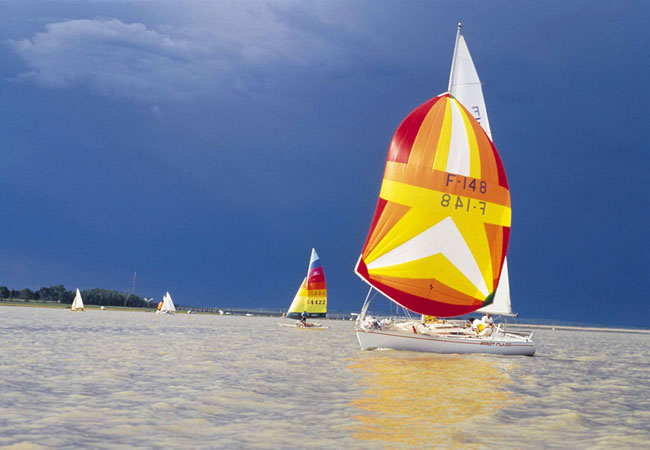
White Water Rafting In Parys
Bring your family, friends or colleagues, come and explore Parys and Upper Vaal white water rafting and experience a river trip you will never fo...
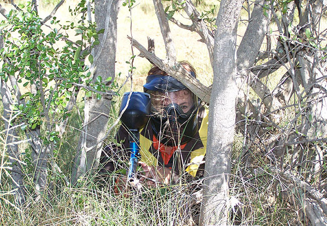
Paintball at Earth Adventures
Earth Adventures Paintball is situated on the scenic banks of the mighty Vaal River, on the grounds of a private farm on the outskirts of Parys. ...
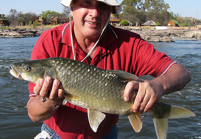
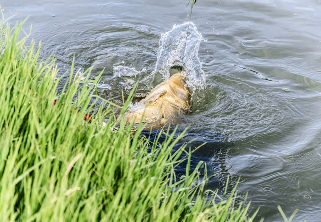
Flyfishing with Earth Adventures
Earth Adventures offers fly fishing enthusiasts a number of glorious fly fishing opportunities on the Vaal River. Experience the thrill of catchi...
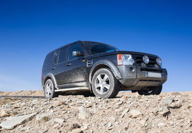
Berakah 4x4 Eco Trail
Berakah 4x4 Eco Trail on Berakah Farm in Parys, is a 4x4 route that is 15km long, and takes approximately 6 hours to complete. The route travels ...
Vredefort Meteorite Trails
If you ever watched the movie Bio-Dome and thought it was great that they had so many different ecosystems in one confined space, then make sur...
Hartelus Mark
Just next to the bridge that crosses the mighty Vaal River is the inviting market called Hartelus Mark. Here, visitors and local regulars are inv...
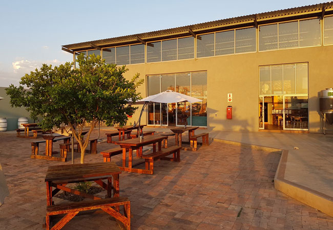
Dog and Fig Brewery
In 2008, a group of friends joined forces to turn their love for authentic craft beers into something that everyone could enjoy. Thus was born th...
Noteworthy attractions - see all in Northern Free State
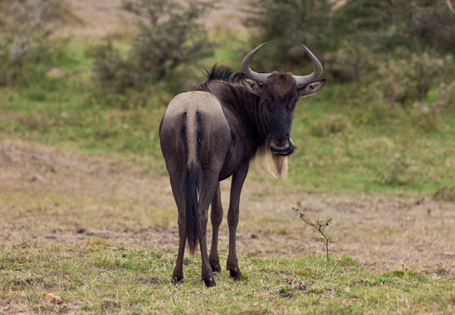
Willem Pretorius Game Reserve
The Willem Pretorius Game Reserve is situated in the heart of the Free State with the Allemanskraal Dam forming the central part. The reserve its...
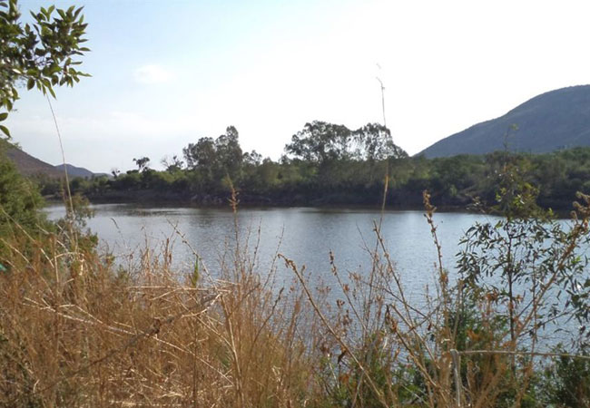
Dome Bergland Nature Park
Dome Bergland Nature Park lies right on the border of two provinces the North West and the Free State - 100 km south west of Johannesburg. Visi...
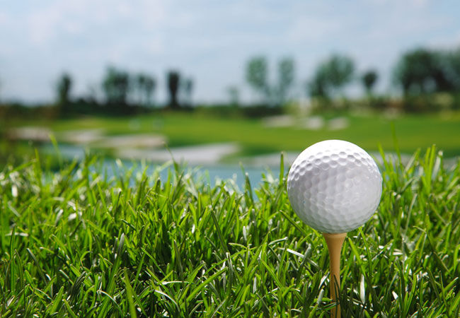
Parys Golf Course
Having originally been opened in 1876, the Parys Golf Club is infused with plenty of history and heritage, lending it a tangible charm. However, ...
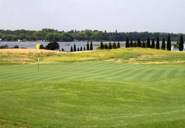
Waterford Golf Course
The Waterford Golf Course has been designed so that all of the beautiful homes on the estate have views of the greens and fairways, and so that t...
Koppies Dam Nature Reserve
Just outside the little town of Koppies, 70 km northeast of Kroonstad, lies the 3 400 hectare Koppies Dam Nature Reserve. It is a popular reserve...
Find accommodation in Parys
FIND / South Africa Accommodation / Free State Accommodation / Northern Free State Accommodation / Parys Accommodation
Parys as a destination
Why book with SA-Venues.com
- Your card is safe with us; strictest card verification in the industry and we don't store card numbers.
- No airy fairy service fees; you save!
- We care. Service with integrity.
- Multiple payment methods:
credit card, SID instant EFT, bank transfer. - All Parys property owners / managers are verified (our experience protects you from online fraud).
- Secure your booking
Maps
Destination Parys
- By type in Parys
- Parys Accommodation
- Parys Hotels
- Parys Guest Houses
- Parys Bed & Breakfast
- Parys Self Catering
- & Holiday Apartments & Suites
- & Holiday Cottages & Chalets
- & Holiday Homes & Villas
- Parys Conferences
- Parys Honeymoons
- Resources for tourists
- About Parys
- Things To Do
- Attractions
- Reviews